


Historic Mountain Routes | The Salt Road in Cerisola
On the route there is an ancient medieval "humpback" stone bridge, called della Cianca, located near the chapel dedicated to San Giovanni Battista which leads under the rocky spur of Pian dei Fiori, a...
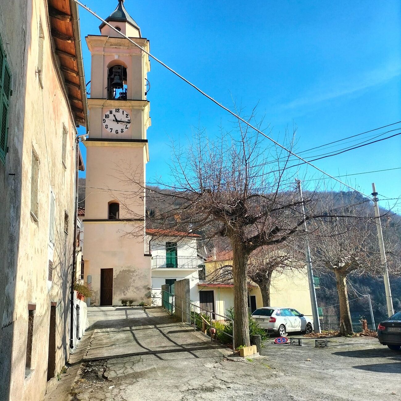
In this first stretch there is also a "neviera" - a cave in which snow was collected in the past in winter to be used in the hot season for cooling food and drinks - and an ancient furnace. Upon arrival in Villa Chiesa, whose frescoes dated 1461 by Segurano Cigna are now exhibited in the municipal hall, you can admire the parish church of San Pietro and the square with the ancient wash houses.
Leaving the hamlet, after the asphalted stretch you return to the dirt road that leads to Arma Veirana or to the Via del Sale which continues to Erli. The Arma Veirana cave itself is a center for studies and visits: the excavation campaigns begun in 2015 have testified to the presence of Neanderthal men in the area, leading to the discovery of thousands of stone finds and the burial of a little girl 10,000 years ago.

Tak
Popularne wycieczki w okolicy
-
Sentiero Liguria Trail 22 Variant 1 Toirano-Arnasco
ciężkiWędrówka 27,0 km -
Trail no. 14: Giogo di Giustenice - Colle di Melogno
Wędrówka 8,77 km -
5,0
Leg 21 from Boissano to Toirano
Wędrówka 12,3 km -
Trail no. 13: Giogo di Toirano - Giogo di Giustenice
Wędrówka 4,54 km -
Trail No. 10: Colle San Bartolomeo d'Ormea - Colle San Bartolomeo di Garessio
Wędrówka 13,0 km -
5,0
Via ferrata degli artisti
Via ferrata 6,20 km -
SV_15 Castagnabanca – Pian delle Bosse – Monte Carmo
Wędrówka 9,62 km -
Castelvecchio di Rocca Barbena - Zuccarello, Ligurien/Italien
średniWędrówka 10,0 km -
SV_18 Dal Giogo a Toirano
Wędrówka 10,5 km -
Sentiero Tanaro: Tappa 8 Garessio (Borgata Pian Bernardo, Fraz. di Trappa) - Ormea
światłoJazda na rowerze 11,3 km
Wędrówki i tropienie


Nie przegap ofert i inspiracji na następne wakacje
Twój adres e-mail została dodana do listy mailingowej.