


Tour dello Chaberton: Stage 3 Claviere - Plampinet

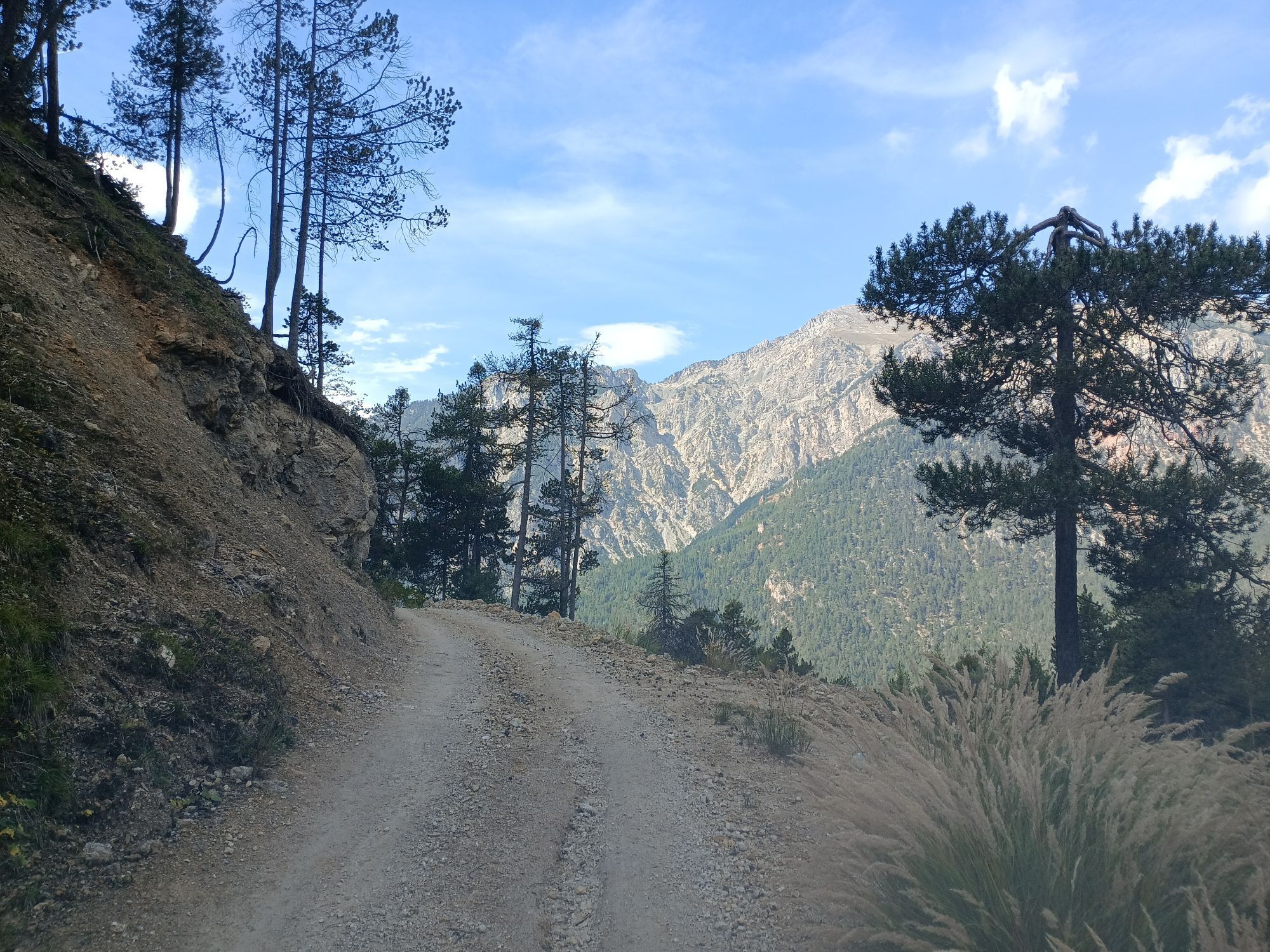
Departing from the village of Claviere, you reach the state border in Monginevro following the trail that goes along the lake and the golf course. From Monginevro, follow the forest track along the Rio...
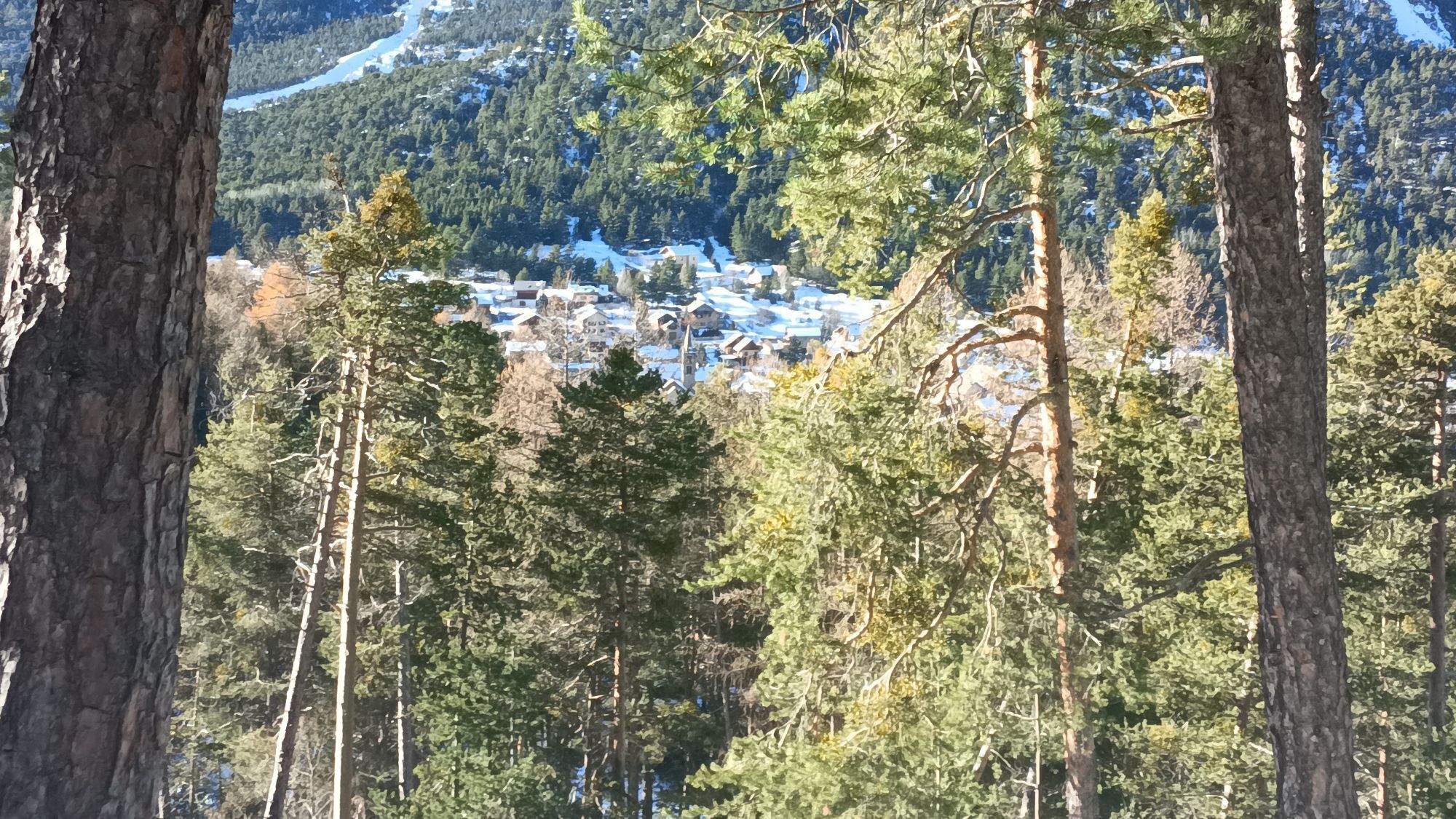
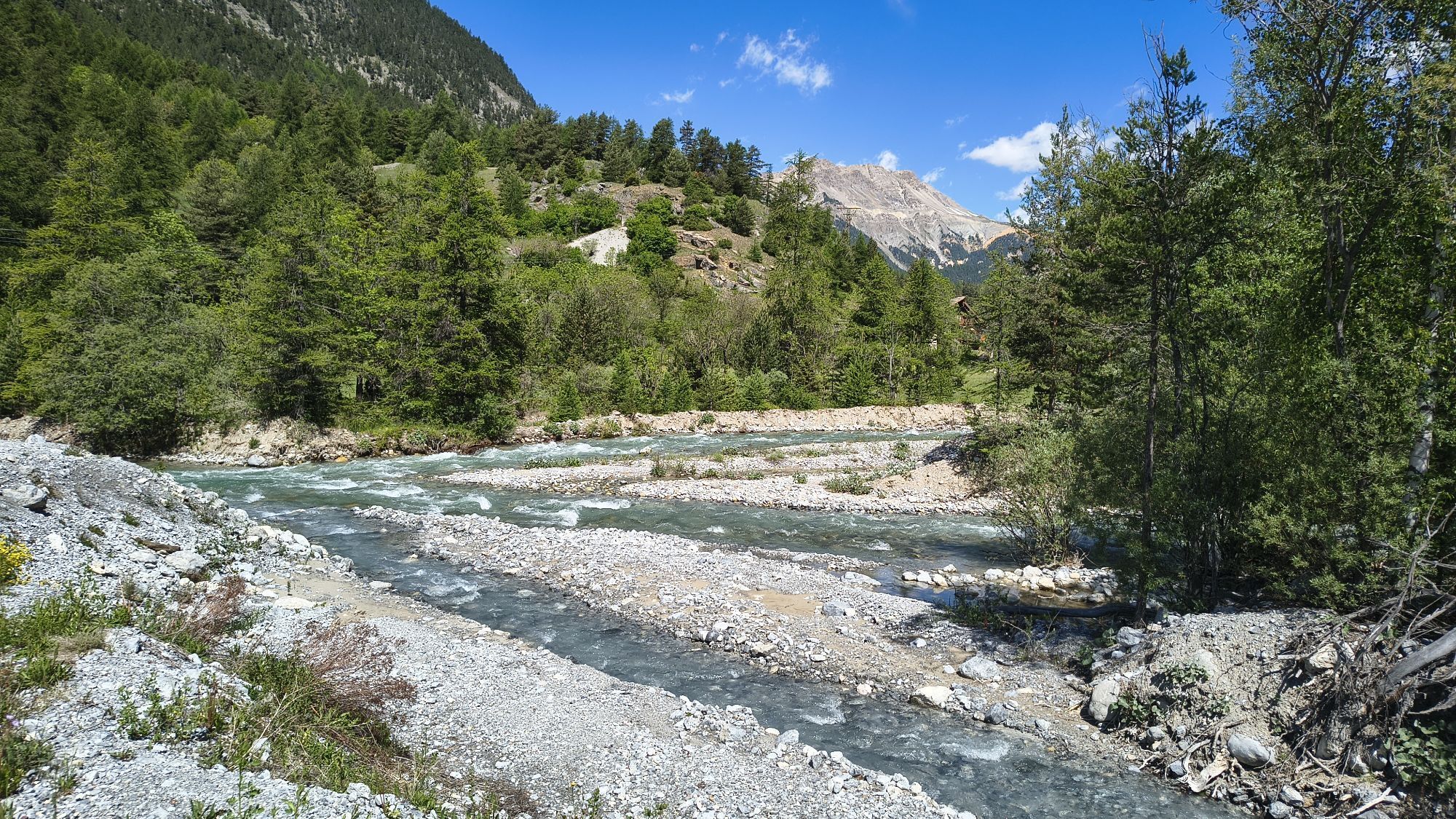
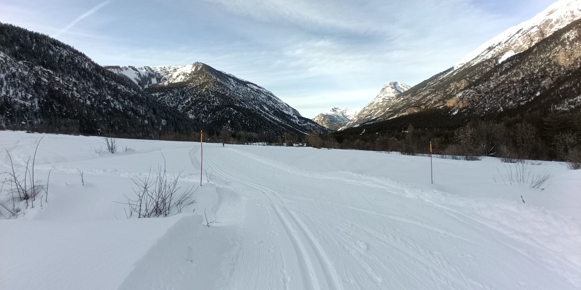
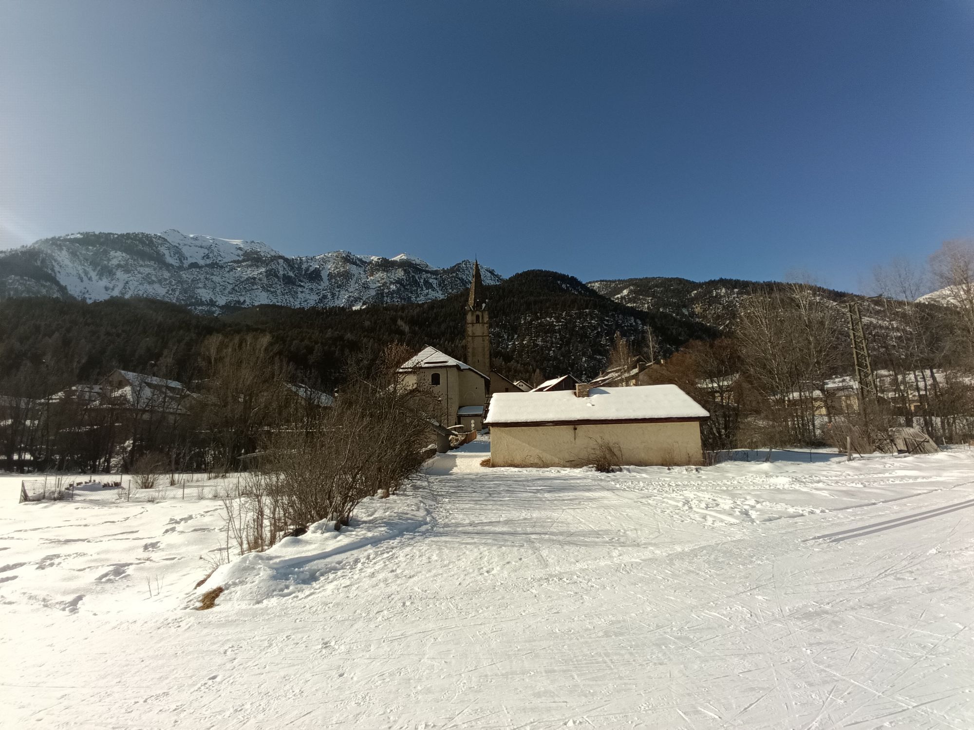
Departing from the village of Claviere, you reach the state border in Monginevro following the trail that goes along the lake and the golf course. From Monginevro, follow the forest track along the Rio Durance as far as the Crepet fountain (trail G.R.5 -E2), cross the RN94 to the village of Les Alberts. Climb up Valle Cleree on the left orographic side, passing by Val des Pres until the end of the stage at Plampinet.

Starting from the town of Claviere you reach the state border at Monginevro following the path that faces the lake and the golf course. From Montgenèvre, follow the forestry track along the Durance river to the Crepet fountain (path GR5 -E2), cross the RN94 to the village of Les Alberts. You then go up the Cleree Valley on the orographic left passing through Val des Pres until the end of the stage near Plampine
Tak
We recommend the use of trekking boots, fleece, trousers and windbreaker in technical fabric
Nothing to report in this regard
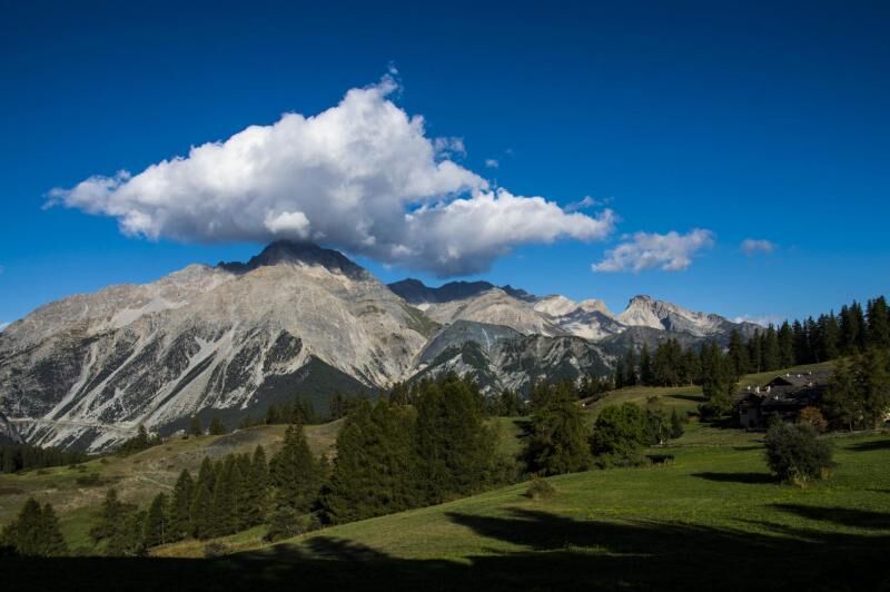
By car: ss24 or A32 exit Oulx Est, continue towards Cesana - Calviere - Monginevro - Briancon
Popularne wycieczki w okolicy
-
4,5
BARDONECCHIA Pian del Colle - Valle Stretta
średniRakieta do chodzenia po śniegu 5,02 km -
5,0
BARDONECCHIA Col des Acles - Passo della Mulattiera
średniWędrówka 6,23 km -
BARDONECCHIA Lago Verde
światłoMountainbike 10,7 km -
BARDONECCHIA - Loop Colle della Scala - Col de Montgenèvre - Colle del Sestriere
ciężkiDroga rowerowa 91,9 km -
GR® 57 Tour de la Haute-Clarée
średniWędrówka 87,3 km -
5,0
CESANA T.SE Thures - Cima Bosco
ciężkiRakieta do chodzenia po śniegu 3,94 km -
5,0
CESANA T.SE Cesana - Fenils
światłoWędrówka 4,60 km -
CESANA T.SE Lago Nero - Seven Colors Lake
średniWędrówka 3,51 km -
4,0
BARDONECCHIA Lucianina Path - Grange di Valle Stretta
średniWędrówka 5,18 km -
5,0
BARDONECCHIA Chesal nature route
światłoWędrówka 3,48 km
Wędrówki i tropienie


Nie przegap ofert i inspiracji na następne wakacje
Twój adres e-mail została dodana do listy mailingowej.