







GTA: Stage 25 Rima - Sant'Antonio di Val Vogna

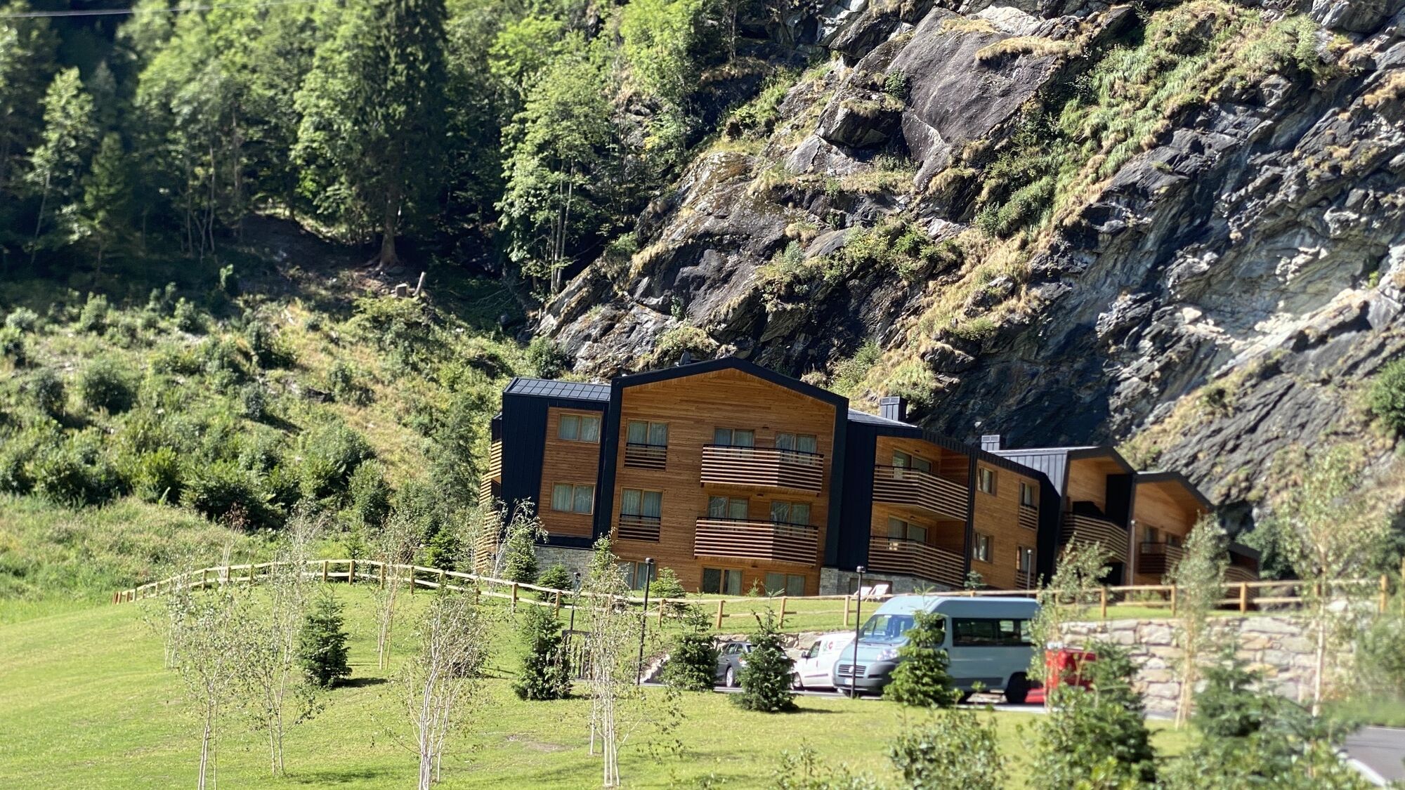
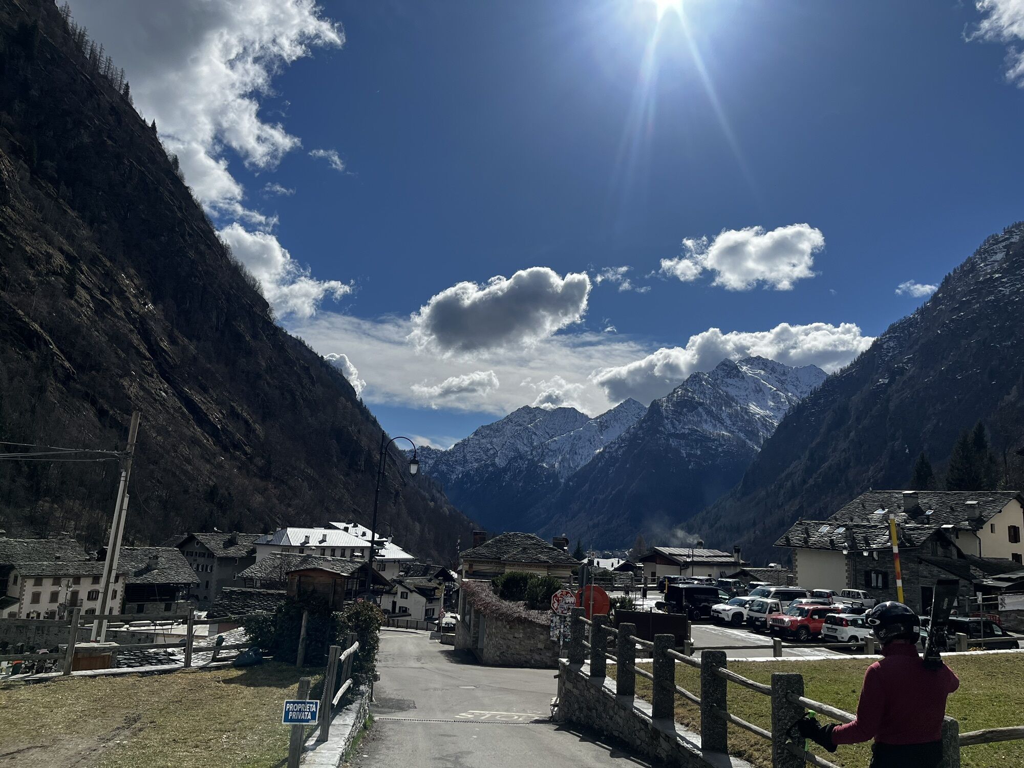
Cross the bridge in Rima, over the Sermenza stream and pass by the Museo Gipsoteca Della Vedova, (house-museum of the sculptor Pietro della Vedova 1831-1898). Leaving the last houses of Rima, you reach...
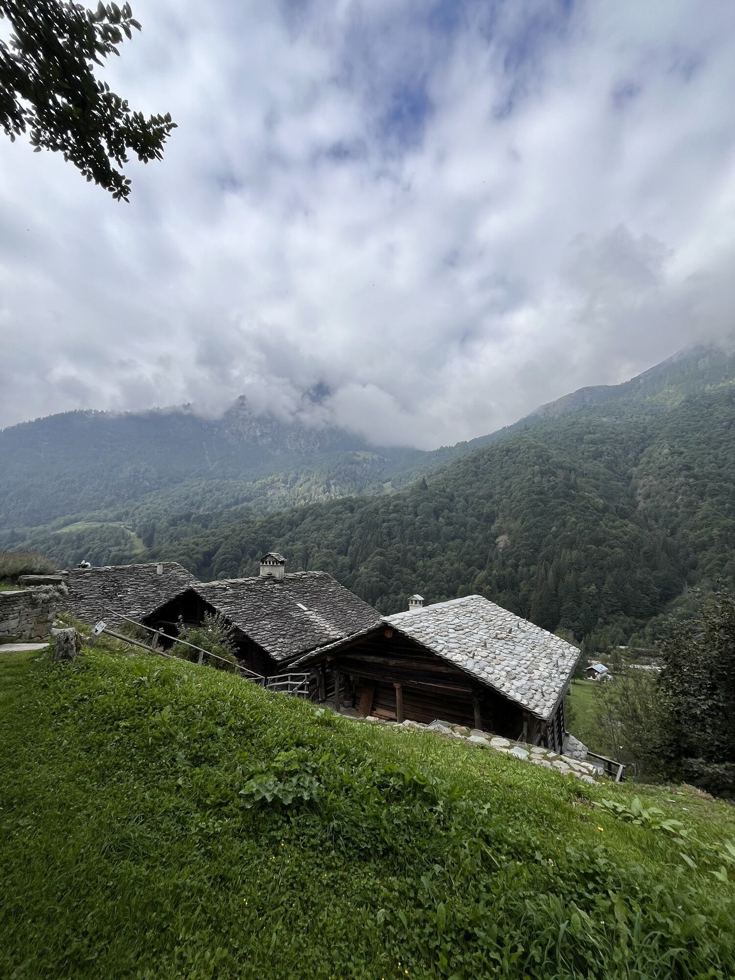
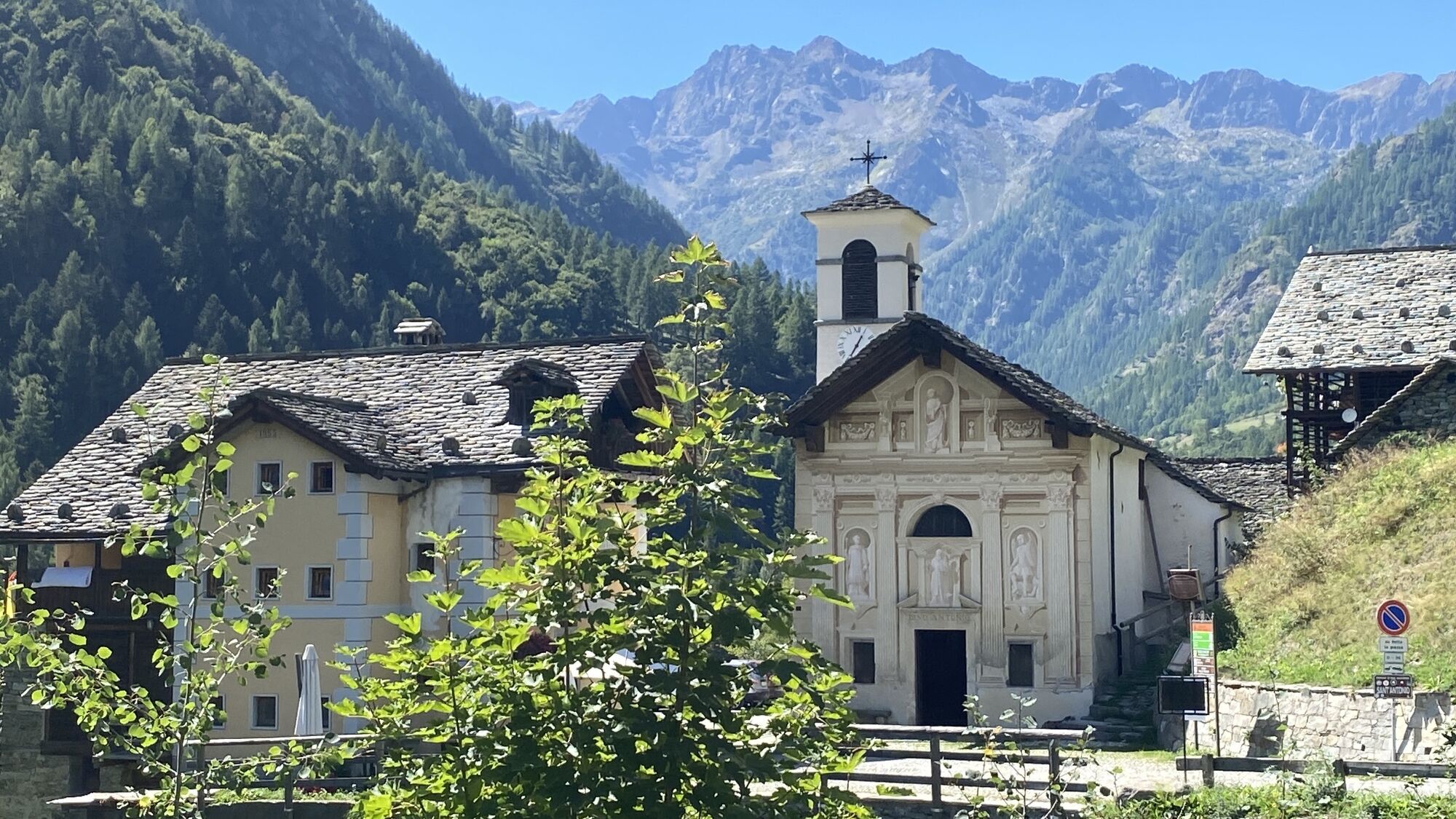
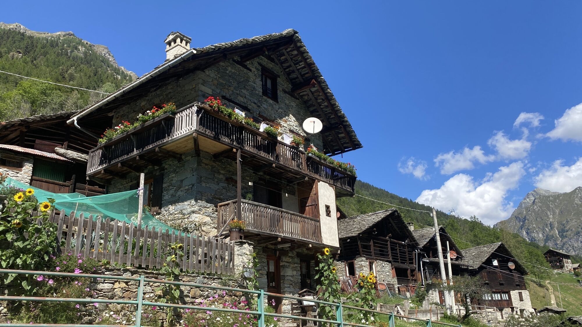
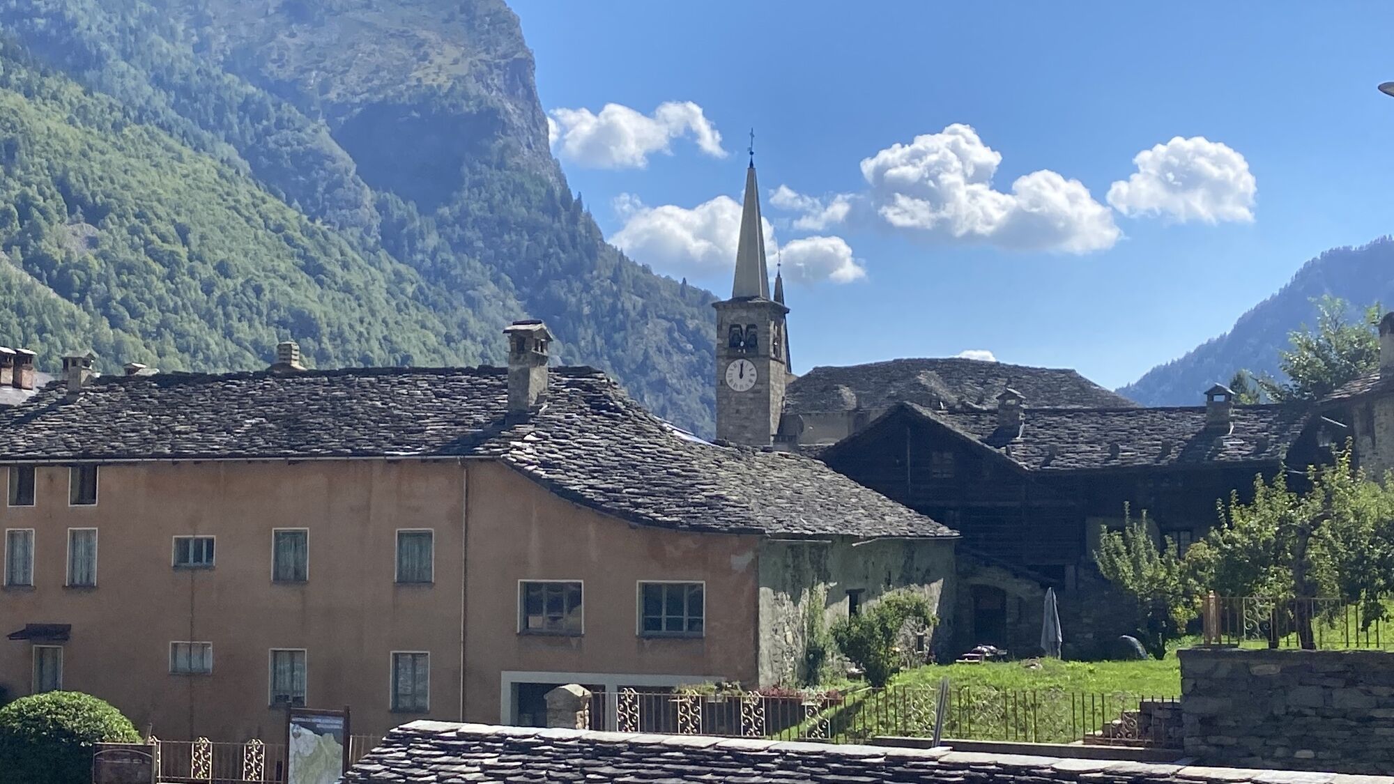
Cross the bridge in Rima, over the Sermenza stream and pass by the Museo Gipsoteca Della Vedova, (house-museum of the sculptor Pietro della Vedova 1831-1898). Leaving the last houses of Rima, you reach a larch wood where you come to a crossroads. Ignore path 292 on the right towards Colle Piccolo Altare and take path 296 on the left along a beautiful mule track built at the end of the 19th century. Near the Valmontasca stream, at an altitude of about 1700 metres, there is another junction on the left where path 318 branches off and continues towards the Passo del Vallarolo and Monte Tagliaferro. Continue climbing and you shortly reach Alpe Valmontasca (1821 m). Continue along grassy slopes close to the imposing north-east face of Tagliaferro. You reach Alpe Vorco at 2076 m and from here, flanking a vast scree, you reach Colle Mud, (2324 m), an easy pass between Tagliaferro (2964 m) to the south, and Corno Mud, (2802 m) to the north. Going down from the Colle on a short transversal stretch with a moderate gradient, you can reach the farmhouses of Alpe Superiore or Mud di Sopra (Oubre Alpu) at 2264 m, readapted as Rifugio Santino Ferioli owned by the Cai of Olgiate Olona, or you can decisively cut the middle of the valley. You then descend in the middle of a rockfall and pass between the ruins of two huts, finally reaching the two farmhouses of Alpe Venghi (2042 m). The path then winds its way along a stretch across the hillside, crossing three watersheds and finally coming to another pasture on Alpe Mud di Qua (1887 m). The trail then descends steeply and reaches the edge of the wood at an altitude of about 1700 m; from here a stretch with some hairpin bends leads to the farmhouses of Z'Ise hus (Casa Ferro) at 1627 m. You then move a little to the right to continue to descend, and then to the left again until you cross the Rio Mud. Continue along the stream as far as the road and the hamlet of Pedemonte di Alagna Valsesia (1242 m). The rest of the stage involves a transfer along the valley floor, passing through the centre of Alagna and following the provincial road for 2.8 km to Riva Valdobbia. From here you take Strada della Val di Vogna road that climbs up with hairpin bends, first coming to the little church of Madonna delle Pose (where the valley people used to stop with their loads on their shoulders), the hamlet of Ca' di Janzo and finally reaches S. Antonio (1380 m) with Rifugio Valle Vogna overlooking the church.


Kamery internetowe z trasy


Popularne wycieczki w okolicy
-
4,7
Quintino Sella al Felik 16 08 22
średniWędrówka 4,42 km -
5,0
Monte Rosa - Signalkuppe
średniWycieczka wysokogórska 12,7 km -
Gnifetti hutte - pyramide vincent
światłoWędrówka 4,08 km -
4,7
Sources of the Lys
średniWędrówka 3,38 km -
4,3
Ospizio Sottile
średniWędrówka 4,77 km -
Plattje - Dufourspitze - Monte Rosa Hütte - Zermatt
ciężkiWycieczka narciarska 22,2 km -
5,0
Alta Luce/Hochliecht
średniWędrówka 6,44 km -
4,8
Palon di Resy
średniWycieczki górskie 9,52 km -
5,0
Monterosa Walser Waeg - 15 Km route
średniTrailrunning 15,1 km -
5,0
Alpenzù Grande
średniWędrówka 1,06 km
Wędrówki i tropienie


Nie przegap ofert i inspiracji na następne wakacje
Twój adres e-mail została dodana do listy mailingowej.





