







From Leopardi Park to the Victory Lighthouse (Maddalena Hill), and back
A "vertical" trail, almost all runnable even if with "short gears" (small steps), that from the entrance of Leopardi Park on Corso Moncalieri leads fully immersed in greenery up to the summit of the Maddalena...
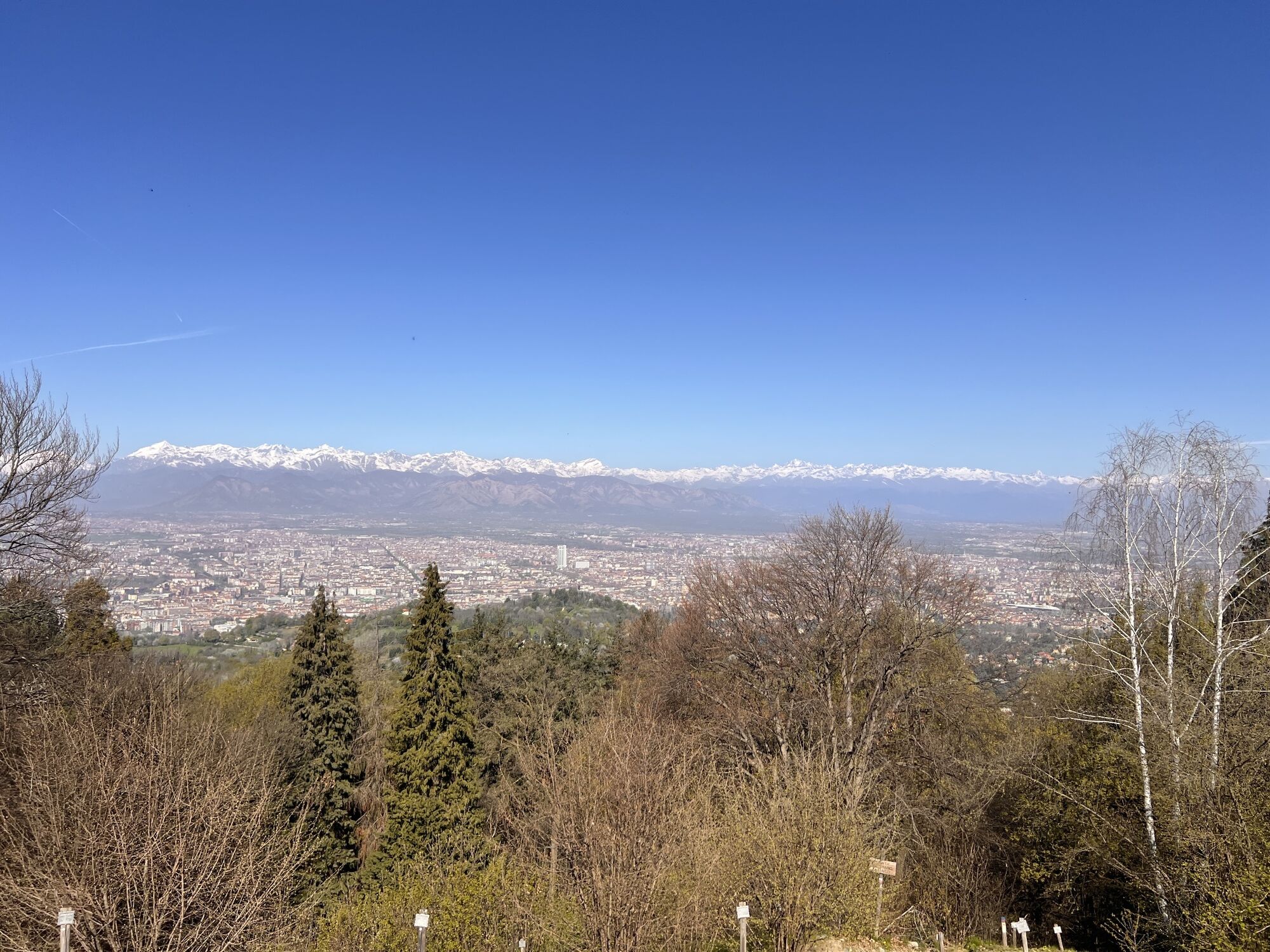
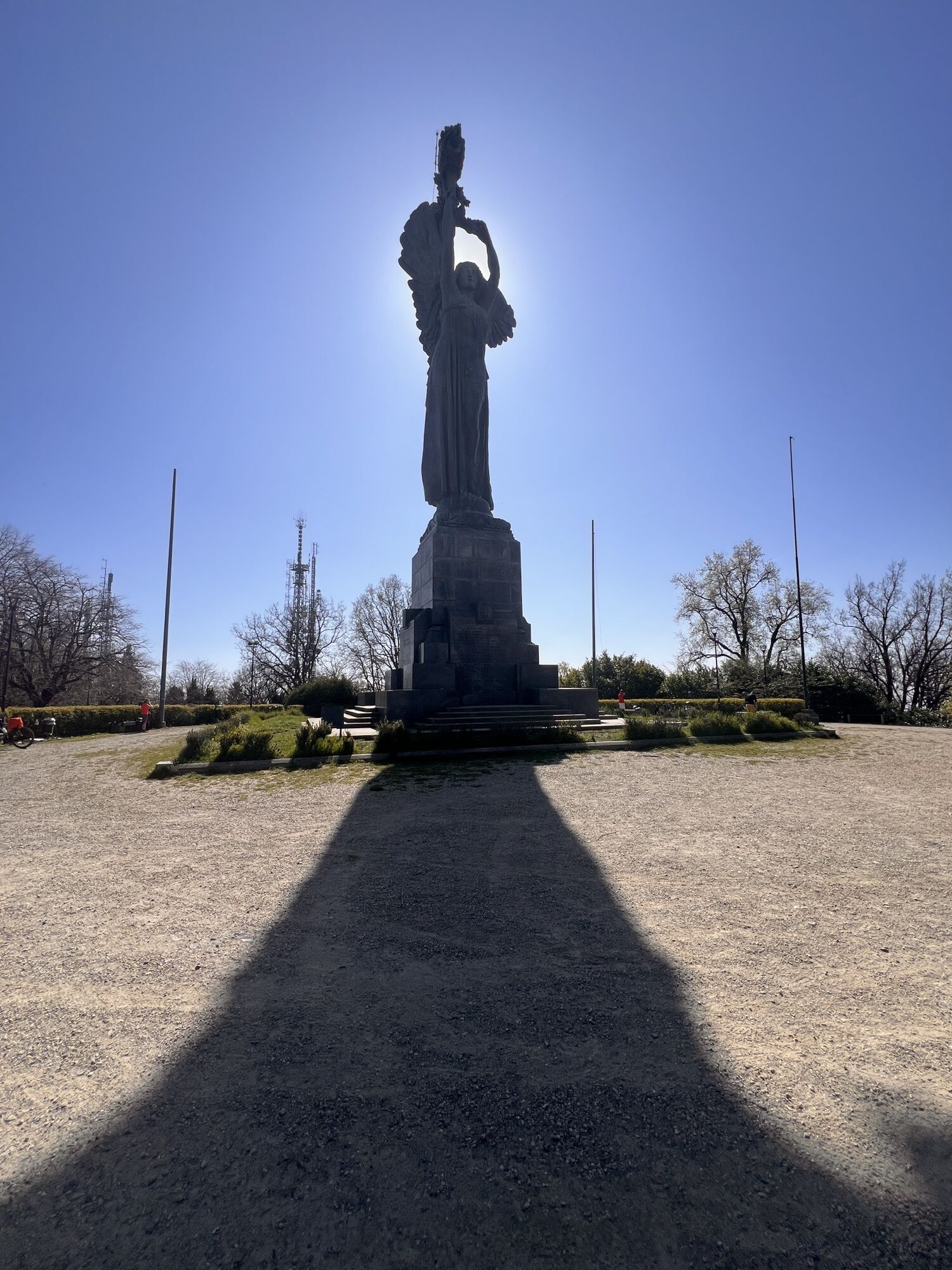
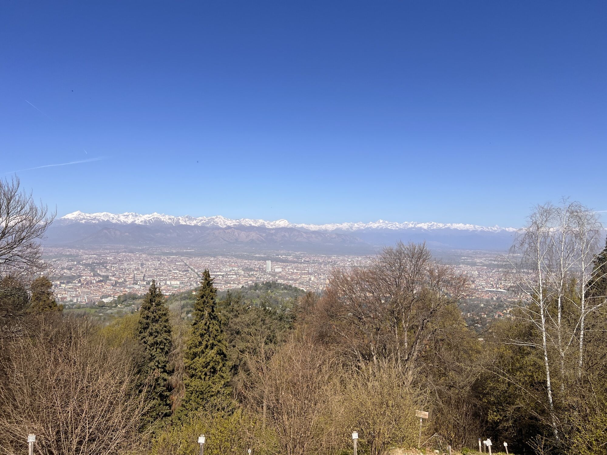
A "vertical" trail, almost all runnable even if with "short gears" (small steps), that from the entrance of Leopardi Park on Corso Moncalieri leads fully immersed in greenery up to the summit of the Maddalena Hill, the highest peak in Turin with its 715 m above sea level. The surface is initially asphalted then switches to compact dirt in San Vito Park and gravel in Rimembranza Park, from Pian del Lot upwards. The slopes climb steeply near the end, but if desired, they can be eased by taking some liberties from the track: you won't get lost just follow the main gravel road inside the park, always going uphill. Spectacular already the view from the clearing in San Vito Park, and then again at the top under the Victory Lighthouse (3rd tallest bronze statue in the world), from where you will see the entire city. You cross more or less wild sections, but in a few minutes from the Po river level you will breathe lighter air and the traffic noise will disappear. The Rimembranza Park with the homes of the fallen of the 1st World War is quite evocative.
Distance: 4.6 km one way, same return distance.
Positive elevation gain 460 m.
Minimum altitude 235, max 705


From Corso Moncalieri take the entrance at the gate (open) of Leopardi Park, then San Vito Park, then trail 16, take the San Vito vineyard road again take 16 from the pedestrian gate and then continue to the Raby crossroads; take the gravel road next to the paved S. Vito - Revigliasco road and enter the Rimembranza park, skirt Pian del Lot and then follow the trail straight up to the summit.
Tak
Tak
Trail running shoes, optionally poles to help on steep sections both ascending and descending. If done in cold months, bring a rain poncho for when you stay at the top and for the first moments of the descent.
Be careful not to slip on the descent returning from the steep path taken on the way up, wear trail running or hiking shoes with good grip.
Urban bus stop Sicilia id 2028.
Entrance to Leopardi Park, c.so Moncalieri 145.
Adjust your pace to the slope, very steep sections near the end.
Popularne wycieczki w okolicy
-
MONCALIERI - Biking on the water: Le Vallere and Valentino Park
światłoJazda na rowerze 17,0 km -
CAMBIAN toward Riva presso Chieri
światłoJazda na rowerze 22,8 km -
ANDEZENO - Panoramic loop towards Pino Torinese
średniJazda na rowerze 35,0 km -
TURIN - The tour of the Turin hillside on the "scenic road"
średniDroga rowerowa 36,7 km -
Gran Gravel Tour in the Oltre Collina Torinese in 4 stages
ciężkiKolarstwo długodystansowe 230,6 km -
CHIERI - Ring in the surroundings
średniJazda na rowerze 24,4 km -
Cycling in the round, in the Stupinigi Nature Park
światłoKolarstwo długodystansowe 14,9 km -
CHIERI - Ring toward Pavarolo, Montaldo T.se and Andezeno
średniJazda na rowerze 32,9 km -
Cycling in the Nature of Stupinigi
Jazda na rowerze 6,73 km -
How to get to Stupinigi Nature Park
Wędrówka 2,22 km

Wędrówki i tropienie


Nie przegap ofert i inspiracji na następne wakacje
Twój adres e-mail została dodana do listy mailingowej.





