Nawigacja
Pobierz tę trasę na swój telefon komórkowy
Mapa
BARDONECCHIA Colle della Scala - Col de l'Izoard
ciężki
Droga rowerowa
103,32 km
Zeskanuj kod QR i rozpocznij nawigację w aplikacji bergfex.
QR Code
Wędrówki i tropienie

BARDONECCHIA Colle della Scala - Col de l'Izoard

Odległość
103,3 km
Czas trwania
07:35 h
Ascent
2 044 hm
Poziom morza
1 208 - 2 357 m

Poziom trudności: 4

Ścieżka do pobrania
Mapa
BARDONECCHIA Colle della Scala - Col de l'Izoard
ciężki
Droga rowerowa
103,32 km

The route starts with a gradual climb towards Pian del Colle, then steepens with a more severe gradient along the hairpins embedded in the sheer rock, leading to Colle della Scala (Col de l'Échelle), from...

Opis

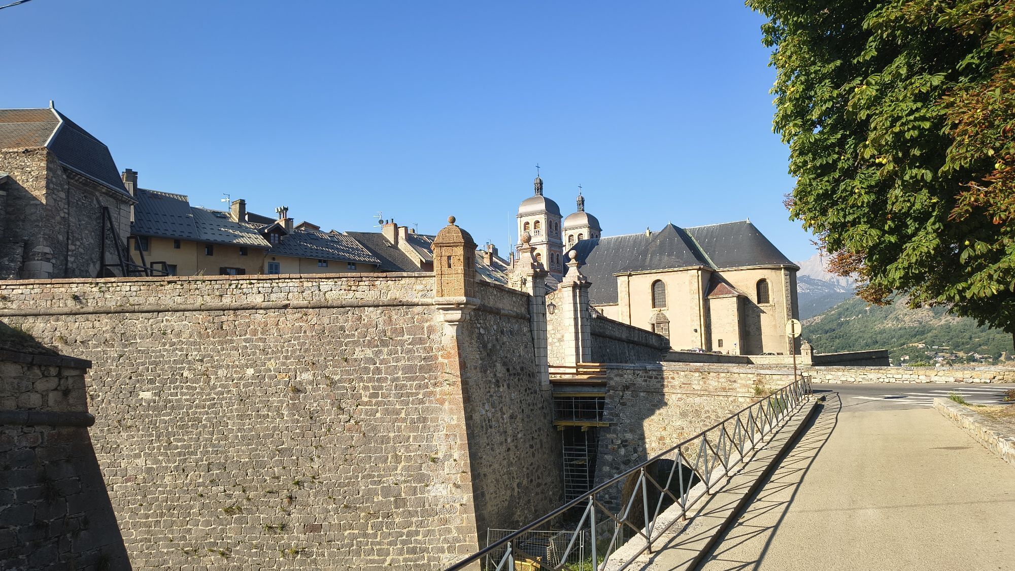
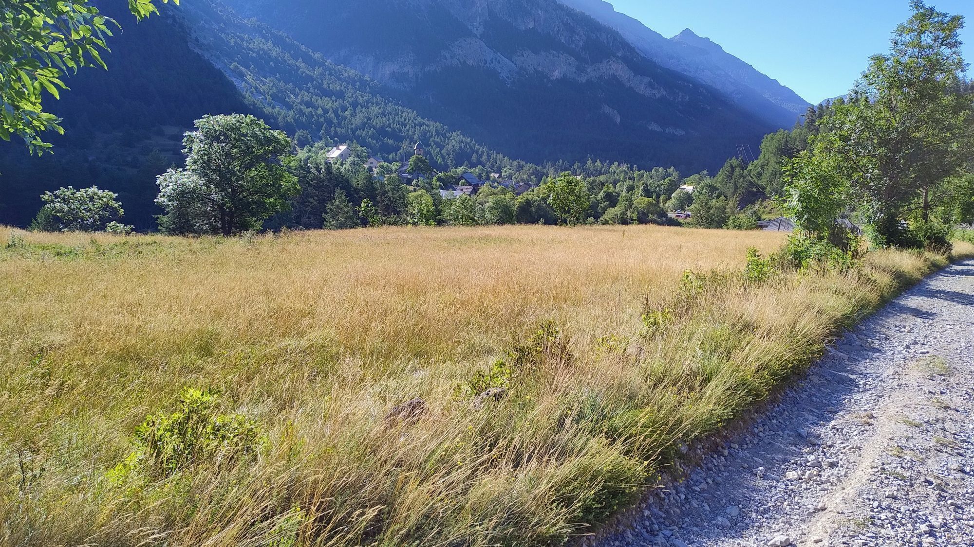
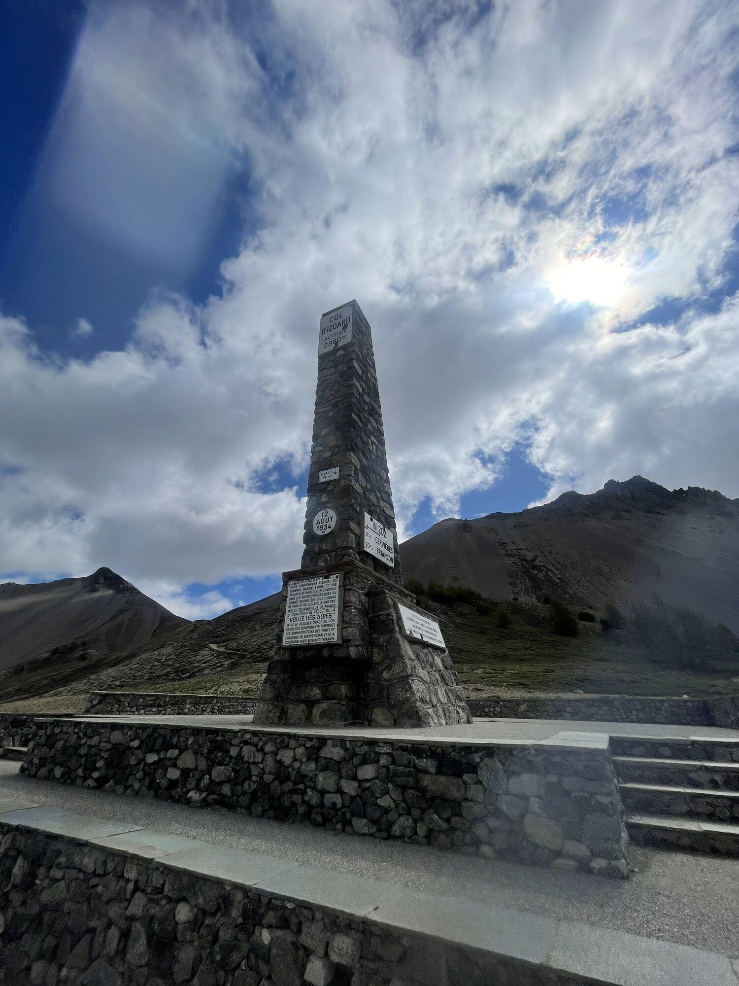
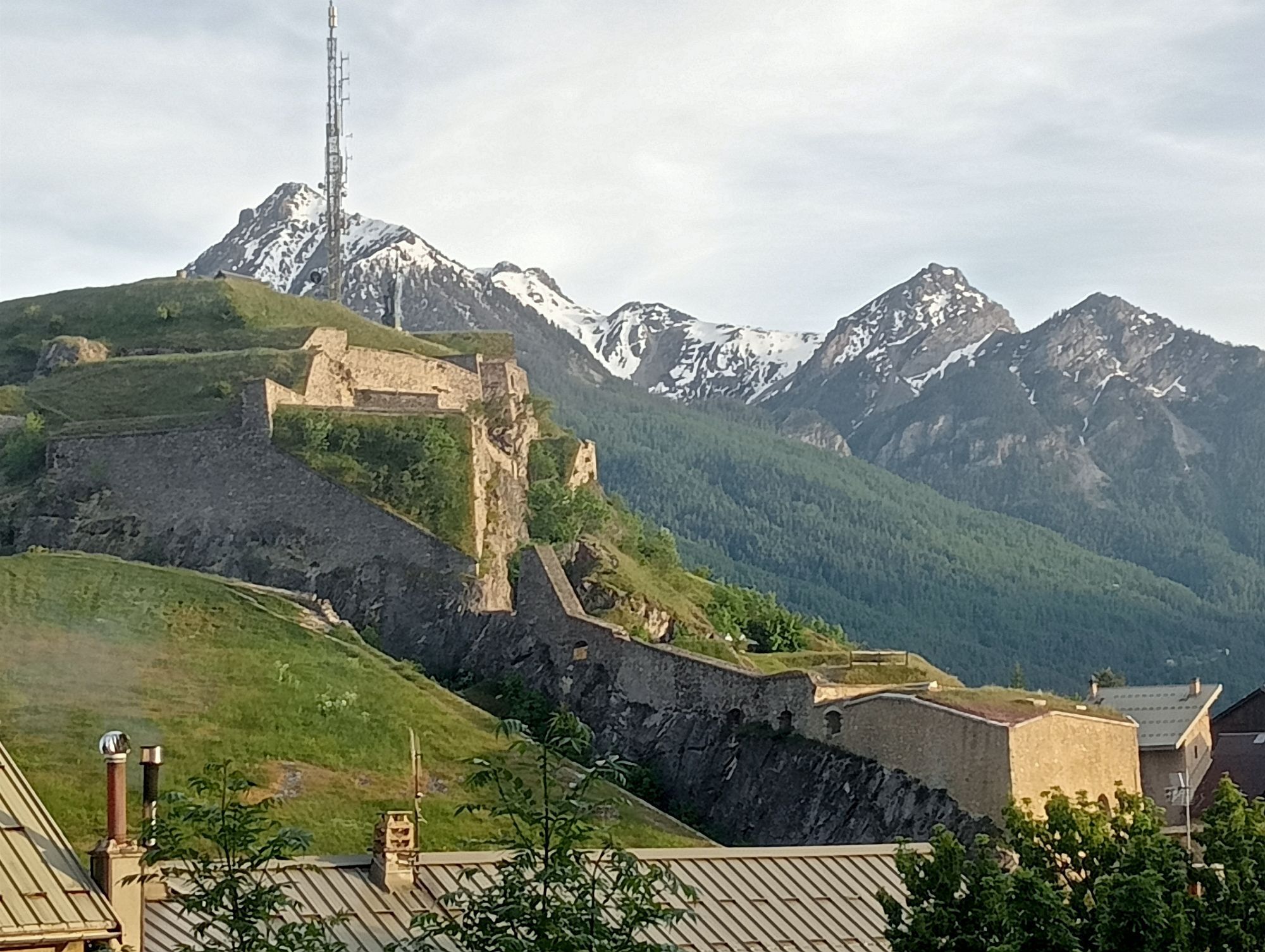
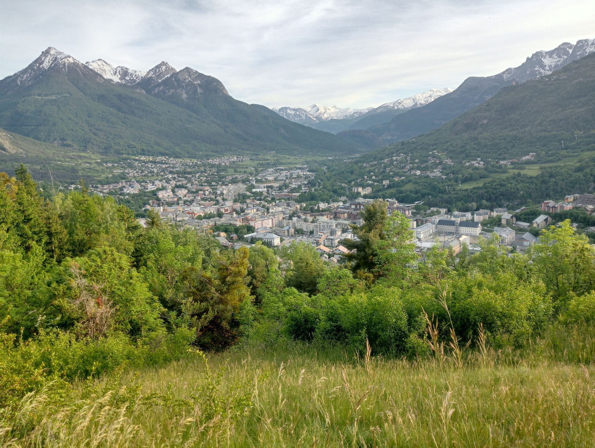
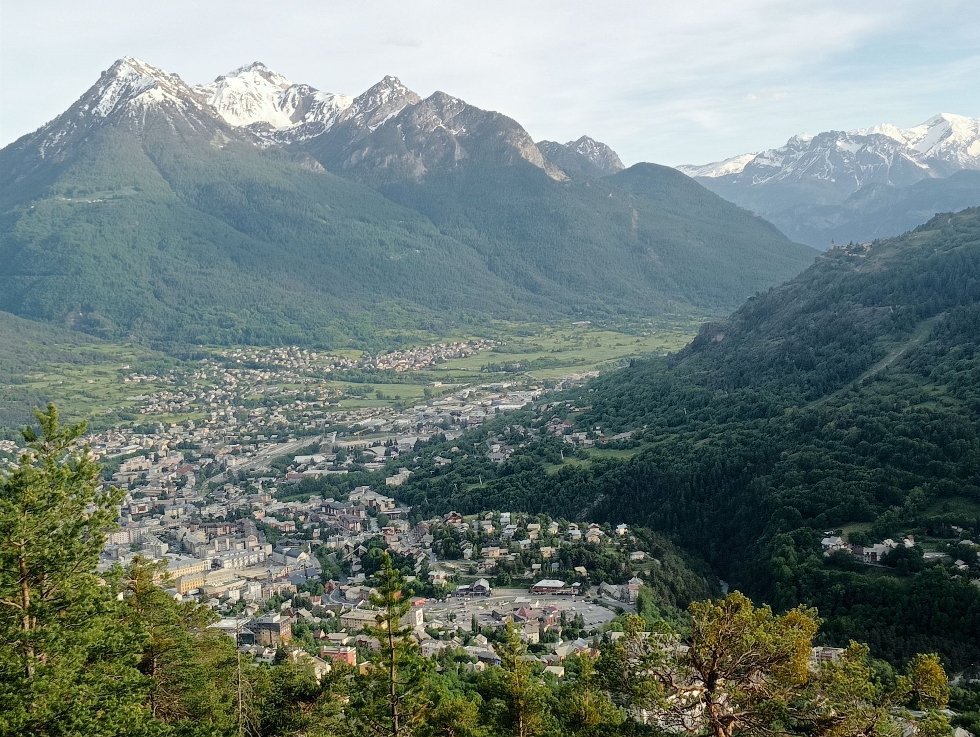
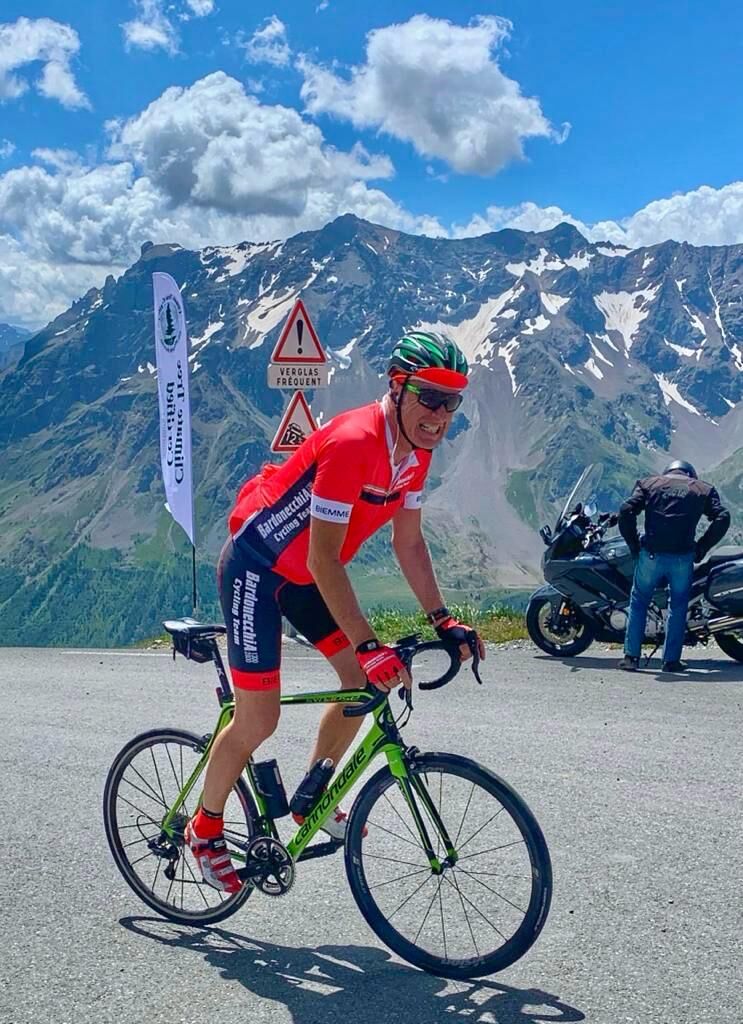
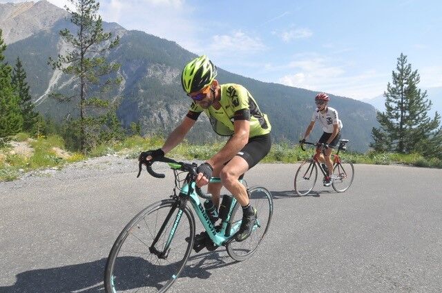
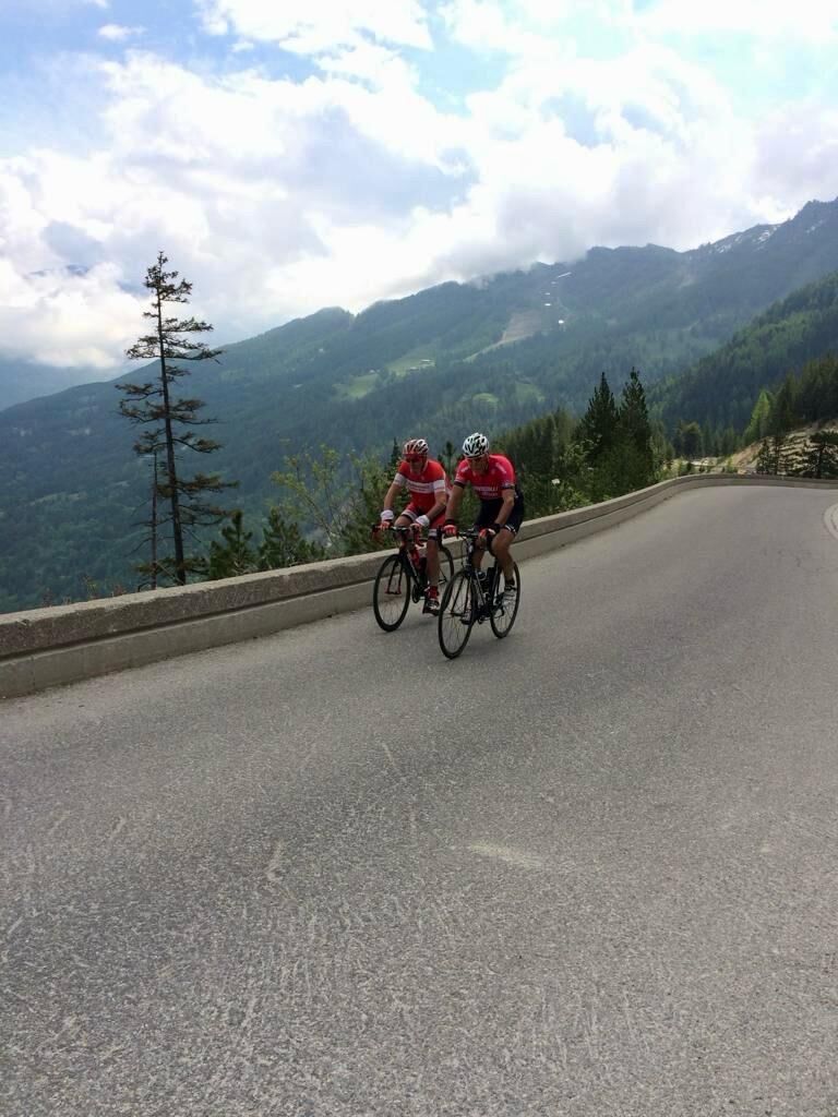
The route starts with a gradual climb towards Pian del Colle, then steepens with a more severe gradient along the hairpins embedded in the sheer rock, leading to Colle della Scala (Col de l'Échelle), from which you can enjoy a splendid view of Bardonecchia. The route then descends on the French side along the enchanting Vallée de la Clarée, passing several villages until it meets road D994G leading to Briançon. After crossing the town, you reach the start of the climb to Colle dell'Izoard. The ascent begins among scattered houses, then develops along a beautiful open valley leading to a wooded stretch. From here the hairpins start, and the gradient becomes more challenging. Gradually, the vegetation thins out, giving way to an increasingly wide view, and finally you reach Col de l'Izoard, from where you enjoy a breathtaking high mountain panorama.

This climb has been featured in major cycling events like the Tour de France.

Trasa
Chapelle Notre-Dame de Bon Rencontre
(1 692 m)
Miejsce kultu
11,6 km
Chapelle Sainte-Luce
(1 398 m)
Miejsce kultu
22,6 km
Église Saint-Claude
(1 387 m)
Miejsce kultu
23,1 km
Chapelle Sainte-Élisabeth
(1 378 m)
Miejsce kultu
24,2 km
Briançon
(1 308 m)
Miasto
30,3 km
Refuge Napoléon
(2 278 m)
Schronienie
50,6 km
Chapelle Notre-Dame de Bon Rencontre
(1 692 m)
Miejsce kultu
91,7 km
Trasa
Mapa
BARDONECCHIA Colle della Scala - Col de l'Izoard
ciężki
Droga rowerowa
103,32 km
Campo Smith
(1 287 m)
Sąsiedztwo
0,0 km
Les Arnauds
(1 313 m)
Rozliczenie
0,9 km
Cappella di San Pietro
(1 370 m)
Miejsce kultu
1,3 km
Melezet
(1 364 m)
Rozliczenie
1,8 km
Cëpellë 'd Sän Sebastian
(1 365 m)
Miejsce kultu
2,2 km
Waikiki
(1 368 m)
Restauracja
2,3 km
Col de l'Échelle
(1 755 m)
Punkt widzenia
10,4 km
Chapelle Notre-Dame de Bon Rencontre
(1 692 m)
Miejsce kultu
11,6 km
Chapelle Saint-Hippolyte
(1 589 m)
Miejsce kultu
13,0 km
Roubion
(1 607 m)
Wioska
13,1 km
Robion
(1 565 m)
Korytarz/teren
13,8 km
Le Petit Randonneur
(1 485 m)
Restauracja
16,4 km
Saint François Régis
(1 491 m)
Miejsce kultu
16,4 km
Plampinet
(1 488 m)
Rozliczenie
16,5 km
Chapelle Notre-Dame-des-Grâces
(1 485 m)
Miejsce kultu
16,6 km
Chapelle Sainte-Luce
(1 398 m)
Miejsce kultu
22,6 km
Pra Premier
(1 400 m)
Sąsiedztwo
22,7 km
Val-des-Prés
(1 399 m)
Wioska
22,9 km
Église Saint-Claude
(1 387 m)
Miejsce kultu
23,1 km
Le Serre
(1 391 m)
Sąsiedztwo
23,2 km
Michelan
(1 391 m)
Rozliczenie
24,0 km
Le Martinet
(1 377 m)
Rozliczenie
24,1 km
Le Rosier
(1 376 m)
Rozliczenie
24,1 km
Chapelle Sainte-Élisabeth
(1 378 m)
Miejsce kultu
24,2 km
Le Rosier
(1 377 m)
Rozliczenie
24,3 km
La Routas
(1 372 m)
Rozliczenie
24,4 km
La Vachette
(1 364 m)
Rozliczenie
27,2 km
Le Fontenil
(1 266 m)
Rozliczenie
29,1 km
Briançon
(1 308 m)
Miasto
30,3 km
Le Paradis
(1 356 m)
Rozliczenie
31,1 km
L'Enfer
(1 318 m)
Rozliczenie
31,4 km
Central Parc
(1 215 m)
Sąsiedztwo
32,9 km
Sare
(1 300 m)
Korytarz/teren
33,9 km
Rémondières
(1 291 m)
Korytarz/teren
33,9 km
L'Oratoire
(1 317 m)
Korytarz/teren
34,2 km
Font Christianne
(1 342 m)
Rozliczenie
34,3 km
Cervières
(1 626 m)
Wioska
41,6 km
Église Saint-François d'Assise
(1 610 m)
Miejsce kultu
41,8 km
Chapelle Saint-Jean-Baptiste
(1 746 m)
Miejsce kultu
43,6 km
L'Arpelin
(1 745 m)
Restauracja
43,6 km
Le Laus
(1 747 m)
Rozliczenie
43,7 km
Refuge Napoléon
(2 278 m)
Schronienie
50,6 km
Le Laus
(1 747 m)
Rozliczenie
59,2 km
L'Arpelin
(1 745 m)
Restauracja
59,3 km
Chapelle Saint-Jean-Baptiste
(1 746 m)
Miejsce kultu
59,3 km
Église Saint-François d'Assise
(1 610 m)
Miejsce kultu
61,3 km
Cervières
(1 626 m)
Wioska
61,4 km
Font Christianne
(1 342 m)
Rozliczenie
68,7 km
L'Oratoire
(1 317 m)
Korytarz/teren
68,9 km
Sare
(1 300 m)
Korytarz/teren
69,1 km
Rémondières
(1 291 m)
Korytarz/teren
69,2 km
Central Parc
(1 215 m)
Sąsiedztwo
70,2 km
L'Enfer
(1 318 m)
Rozliczenie
71,8 km
Le Paradis
(1 356 m)
Rozliczenie
72,1 km
Briançon
(1 308 m)
Miasto
72,8 km
Le Fontenil
(1 266 m)
Rozliczenie
74,0 km
La Vachette
(1 364 m)
Rozliczenie
76,0 km
Le Rosier
(1 377 m)
Rozliczenie
78,7 km
La Routas
(1 372 m)
Rozliczenie
78,8 km
Chapelle Sainte-Élisabeth
(1 378 m)
Miejsce kultu
78,9 km
Le Rosier
(1 376 m)
Rozliczenie
79,0 km
Le Martinet
(1 377 m)
Rozliczenie
79,1 km
Michelan
(1 391 m)
Rozliczenie
79,2 km
Église Saint-Claude
(1 387 m)
Miejsce kultu
80,1 km
Le Serre
(1 391 m)
Sąsiedztwo
80,1 km
Val-des-Prés
(1 399 m)
Wioska
80,4 km
Pra Premier
(1 400 m)
Sąsiedztwo
80,5 km
Chapelle Sainte-Luce
(1 398 m)
Miejsce kultu
80,6 km
Chapelle Notre-Dame-des-Grâces
(1 485 m)
Miejsce kultu
86,6 km
Plampinet
(1 488 m)
Rozliczenie
86,6 km
Le Petit Randonneur
(1 485 m)
Restauracja
86,7 km
Saint François Régis
(1 491 m)
Miejsce kultu
86,9 km
Robion
(1 565 m)
Korytarz/teren
89,5 km
Roubion
(1 607 m)
Wioska
89,9 km
Chapelle Saint-Hippolyte
(1 589 m)
Miejsce kultu
90,0 km
Chapelle Notre-Dame de Bon Rencontre
(1 692 m)
Miejsce kultu
91,7 km
Col de l'Échelle
(1 755 m)
Punkt widzenia
92,6 km
Cëpellë 'd Sän Sebastian
(1 365 m)
Miejsce kultu
101,0 km
Waikiki
(1 368 m)
Restauracja
101,0 km
Melezet
(1 364 m)
Rozliczenie
101,5 km
Cappella di San Pietro
(1 370 m)
Miejsce kultu
101,8 km
Les Arnauds
(1 313 m)
Rozliczenie
102,2 km
Campo Smith
(1 287 m)
Sąsiedztwo
103,3 km
Informacje o wycieczce

Route leading to the panoramic Colle della Scala, crossing the Vallée de la Clarée and the picturesque Briançon, then tackling the climb to the spectacular Col de l'Izoard

Technologia
4 / 6
Stan
5 / 6
Krajobraz
6 / 6
Doświadczenie
6 / 6
Najlepsza pora roku
Sty
Lut
Mar
Kwi
Maj
Cze
Lip
Sie
Wrz
Paź
Lis
Gru
Udostępnij trasę
Mapa
BARDONECCHIA Colle della Scala - Col de l'Izoard
ciężki
Droga rowerowa
103,32 km
Błąd
Wystąpił błąd. Spróbuj ponownie.
Informacje o trasie
Trasa

From Campo Smith, head towards the hamlet Les Arnauds and the district Melezet, then continue towards Pian del Colle, where the real climb to the Colle della Scala begins. Pass by the Seven Fountains Dam and continue to the junction with the road leading to Valle Stretta. Keep left following the signs for Colle della Scala (Col de l'Échelle). Once at the pass, descend until you meet road D994G, where you need to turn left towards Briançon. Pass through the villages of Plampinet, Val des Prés, and Le Rosier until reaching the main road, where you must turn right towards Briançon. Enter the town and cross it following the signs to Col de l'Izoard. Start the climb and continue until you reach the pass.

The return is on the same route as the outbound trip.

Wycieczka na szczyt

Tak

Wycieczka w jedną stronę

Tak

Sprzęt

Road bike

Gravel

Instrukcje bezpieczeństwa

The road to Colle della Scala and to Col de l'Izoard is subject to falling rocks, especially in bad weather, so it can happen to find stones or gravel on the road surface.

Informacje o przyjeździe
Przybycie

By car:

- A32 Motorway Turin - Bardonecchia, Bardonecchia exit

- State Road 24: Turin - Oulx and then State Road 335: Oulx - Bardonecchia

Once you reach Bardonecchia, head towards Campo Smith

Transport publiczny

By train:

- line Turin Porta Nuova - Bardonecchia

From Bardonecchia train station, head towards Campo Smith

Parking

Campo Smith parking lots

Dodatkowe informacje i wskazówki
Poziom trudności

4

Dodatkowe informacje

Wear reflectors to be more visible

Wskazówki

Enjoy the view from the last hairpin of the climb to the Colle della Scala, along the Vallée de la Clarée and from the Col de l'Izoard

Descend 1 or 2 km on the other side of the pass to admire the landscape and the spectacular rock formations called Casse Déserte

Nie ma jeszcze recenzji
Napisz recenzję

Recenzje pomagają innym użytkownikom wybrać kolejną przygodę. Oceniaj tylko trasę, a nie pogodę lub przekąskę.

Wybierz jedną z gwiazdek, aby ocenić wycieczkę
Zła trasa
Słaba trasa
Przeciętna wycieczka
Dobra wycieczka
Doskonała wycieczka
bergfex logo Uzyskaj wgląd Zawsze na żywo z ponad 9 500 kamer internetowych. bergfex Jako użytkownik Pro, możesz teraz zobaczyć odpowiednie kamery internetowe dla wielu wycieczek w aplikacji wycieczki od. Pozwala to na bezpośredni podgląd aktualnych warunków.
Wędrówki i tropienie

Wędrówki i tropienie

Wędrówki i tropienie
Ponad 550.000 propozycji wycieczek, szczegółowe mapy i intuicyjny planer tras sprawiają, że aplikacja jest niezbędna dla wszystkich entuzjastów przyrody.
bergfex