







GERMAGNANO loop Colle della Dieta
Challenging route due to the presence of climbs with 3 sections exceeding 13% gradients (7.3% average climb in the Mezzenile area). The ascent to colle della Dieta takes place on small mountain roads and...
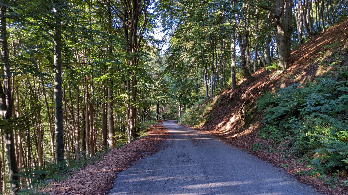
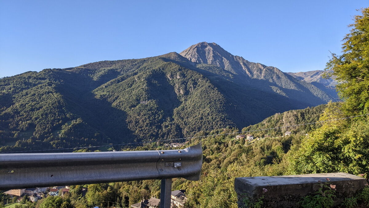
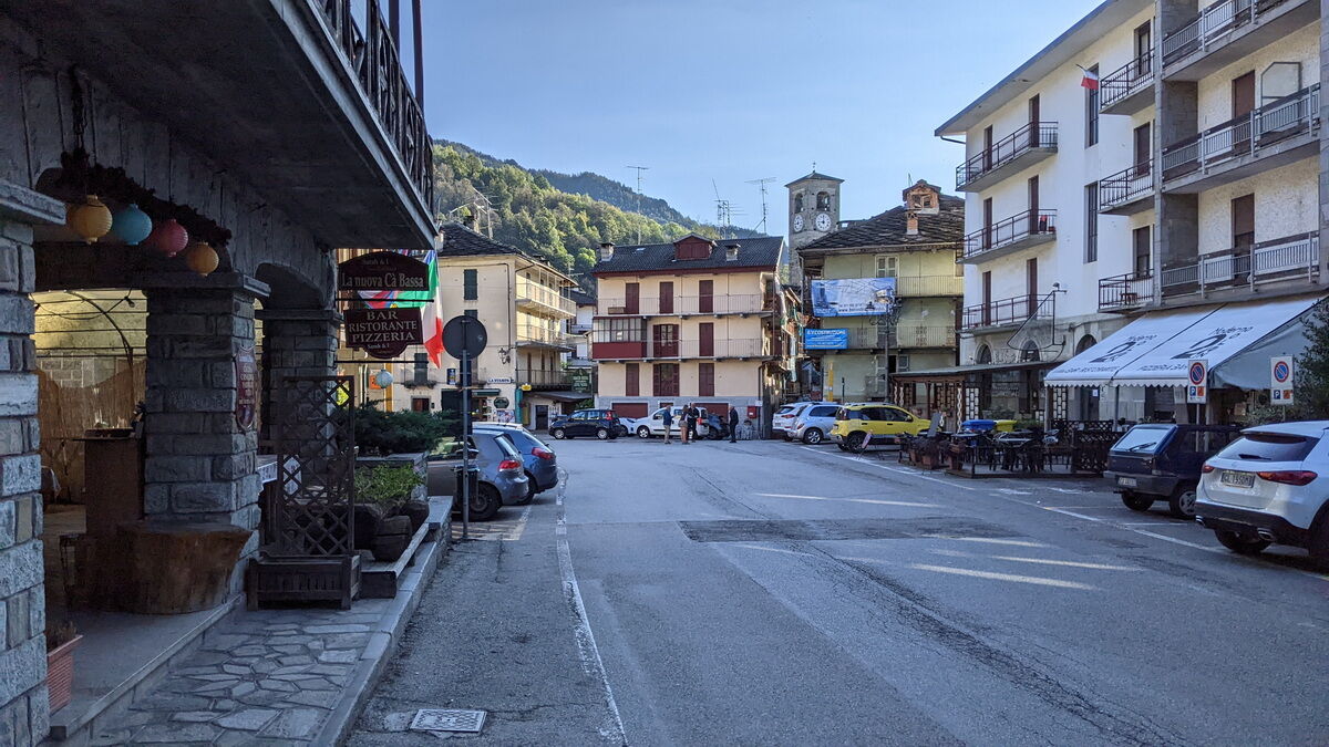
Challenging route due to the presence of climbs with 3 sections exceeding 13% gradients (7.3% average climb in the Mezzenile area). The ascent to colle della Dieta takes place on small mountain roads and first passes through the village of Mezzenile, with its Francesetti Castle, then chestnut woods and finally meadows and pastures. The view in the final section of the climb is magnificent: it is located at the beginning of the Rocca Moross ridge, facing the silhouette of the nearby Uja di Calcante, surrounded by the peaks of the Lanzo valleys (and in the distance you can even glimpse Monviso) and on the other side a part of the plain. From the pass a steep descent crosses a series of hamlets of Viù, reaching its main town with its charming historic center, fountain, and bars. To complete the loop take provincial roads 1 (outward) and 32 (return).

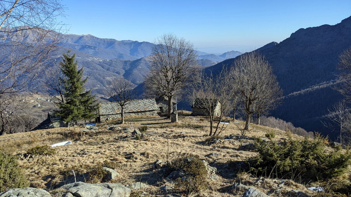
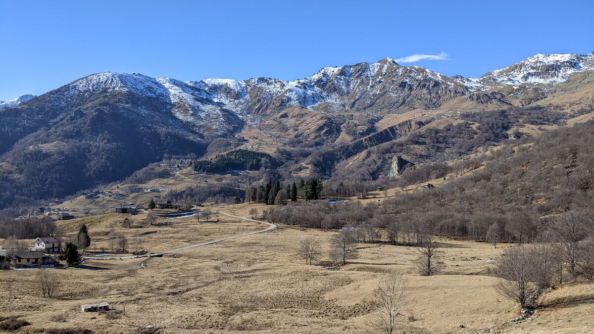

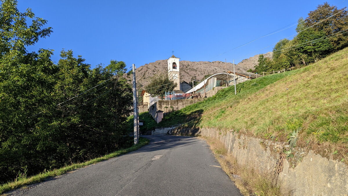
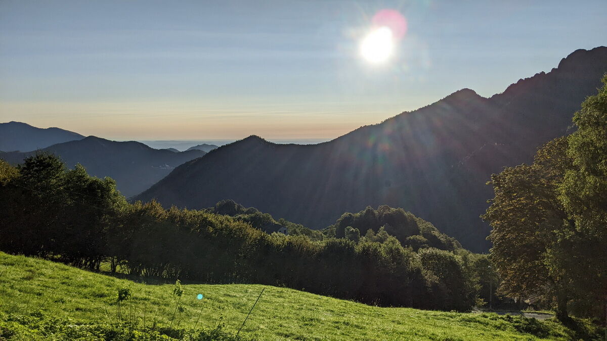
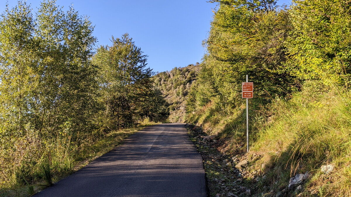


Ascend SP 1 up to the junction to Mezzenile on the left: after crossing the bridge over the Stura, the real climb begins.
Following the provincial road, pass through the entire village of Mezzenile. After passing the parish church, at the first junction, take the left road with signs for Bogliano - colle della Dieta. Continue on the provincial road passing the hamlets of Bogliano and Monti. Then reach the final part with a steep gradient and hairpin bends leading to colle della Dieta.
After the pass, following a right curve, a steep descent begins leading to the area of Asciutti and then intersecting SP 32dir: turn left and after a short false flat, continue descending to the town of Viù. Turn left, cross the town, and remaining on SP 32 return to the starting point.
The roads leading to colle della Dieta are not cleared of snow and ice: therefore check their passability.
The upper part of the road has no side protections and is uneven in some sections.
From Turin take provincial road 1 "direttissima" up to Lanzo Torinese where you are diverted near the Devil's Bridge onto provincial road 2 due to tunnel closure. Turn left, pass through the tunnel first and then the entire village of Germagnano.
Park the car just before the roundabout at the intersection of the two provincial roads, at the end of a straight stretch
Popularne wycieczki w okolicy
-
5,0
BALME Green Lakes and Lago Paschiet
średniWędrówka 7,51 km -
CERES Santa Cristina Loop
średniWędrówka 7,84 km -
COLLE DEL LYS Partisan Trail
średniWędrówka 11,6 km -
MONASTEROLO Ca' Bianca and Big Bench
światłoWędrówka 4,13 km -
5,0
LEMIE Ovarda Lakes loop
ciężkiWędrówka 15,9 km -
VALLO TORINESE Passo della Croce and the Turu
średniWędrówka 4,29 km -
GIVOLETTO Madonna della Neve on Monte Lera
średniWędrówka 6,11 km -
VARISELLA The ruins of the Baratonia castle, churches, and pools of Varisella
średniWędrówka 10,1 km -
COLLE DEL LYS Monte Arpone loop
światłoWędrówka 4,50 km -
CHIALAMBERTO Sanctuary Madonna del Ciavanis and roc d'le Masche from Vonzo
średniWędrówka 6 km

Wędrówki i tropienie


Nie przegap ofert i inspiracji na następne wakacje
Twój adres e-mail została dodana do listy mailingowej.





