







BOBBIO PELLICE Upslowtour - Loop 3 Sarsenà-Cruel-Garin
Poziom trudności: 3
The route runs along the opposite slope of Bobbio Pellice, touching some places linked to the history, culture and architecture of Val Pellice (Sibaud, Podio, Sarsenà), arriving at the panoramic locality...
The route runs along the opposite slope of Bobbio Pellice, touching some places linked to the history, culture and architecture of Val Pellice (Sibaud, Podio, Sarsenà), arriving at the panoramic locality of Serre Cruel (1,327 m). Then it continues towards the wild Cruello valley reaching the homonymous hiking refuge. From here it descends again to the valley floor on a dirt road or, by a more demanding variant, via an ancient mule track through the woods.
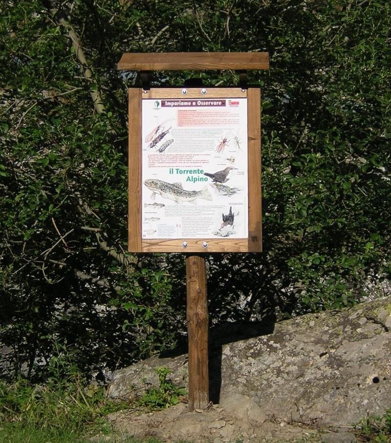
You then proceed to the cool opposite slope, dominated by Punta Garin, which can be traveled via two forest tracks, one higher passing through the hamlet Lauset, or a lower one along which there is a nature trail equipped with informational panels. In both cases you reach the hamlet Abses and the bridge over the Pellice stream, from where you quickly return to the starting point.

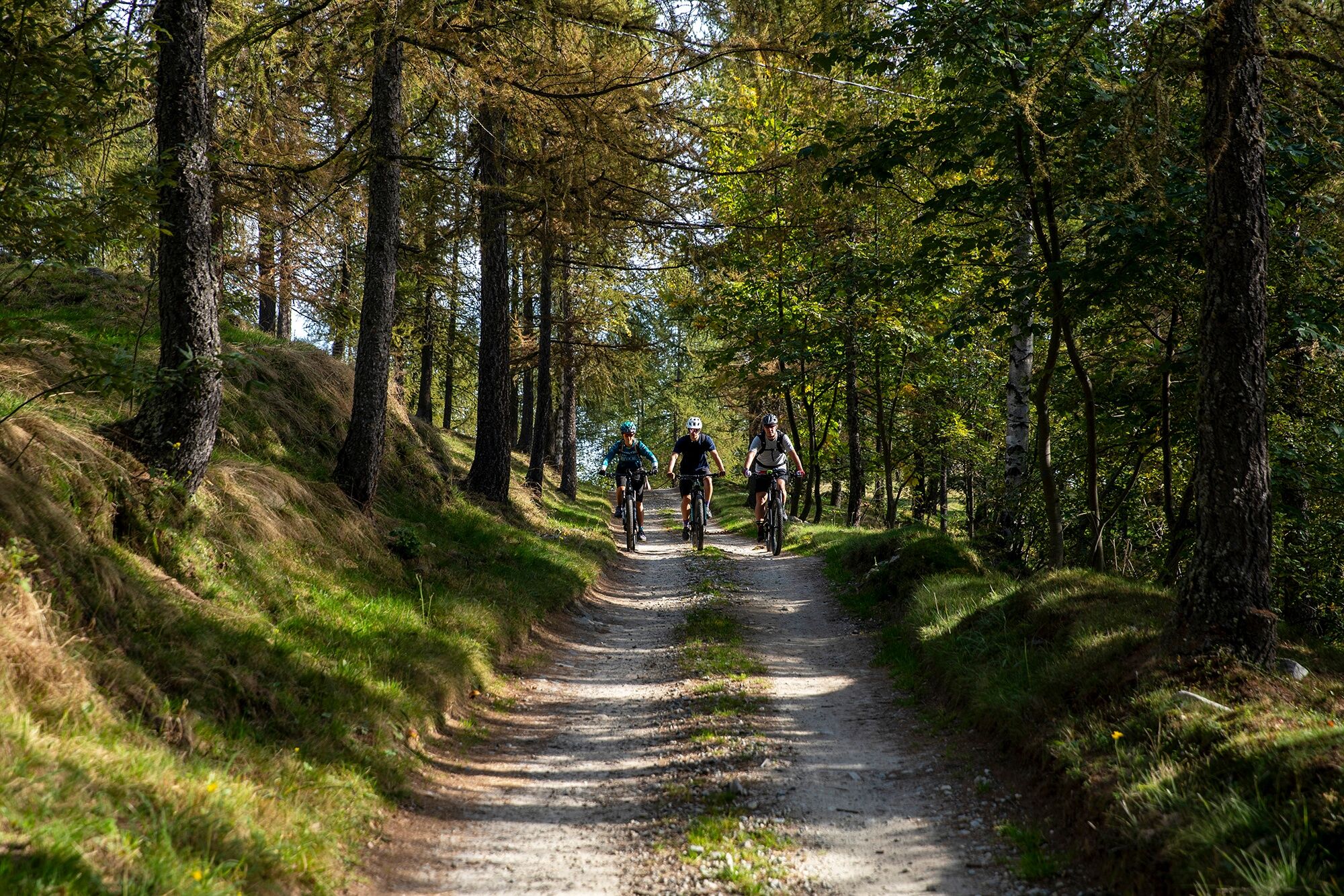
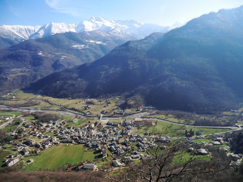
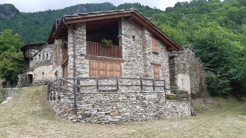
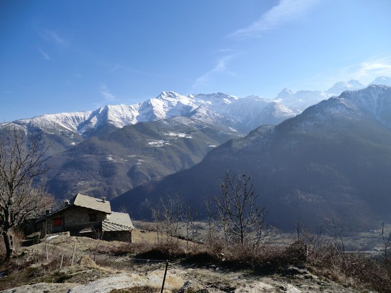
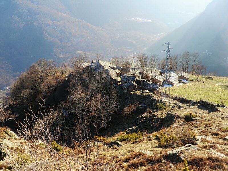
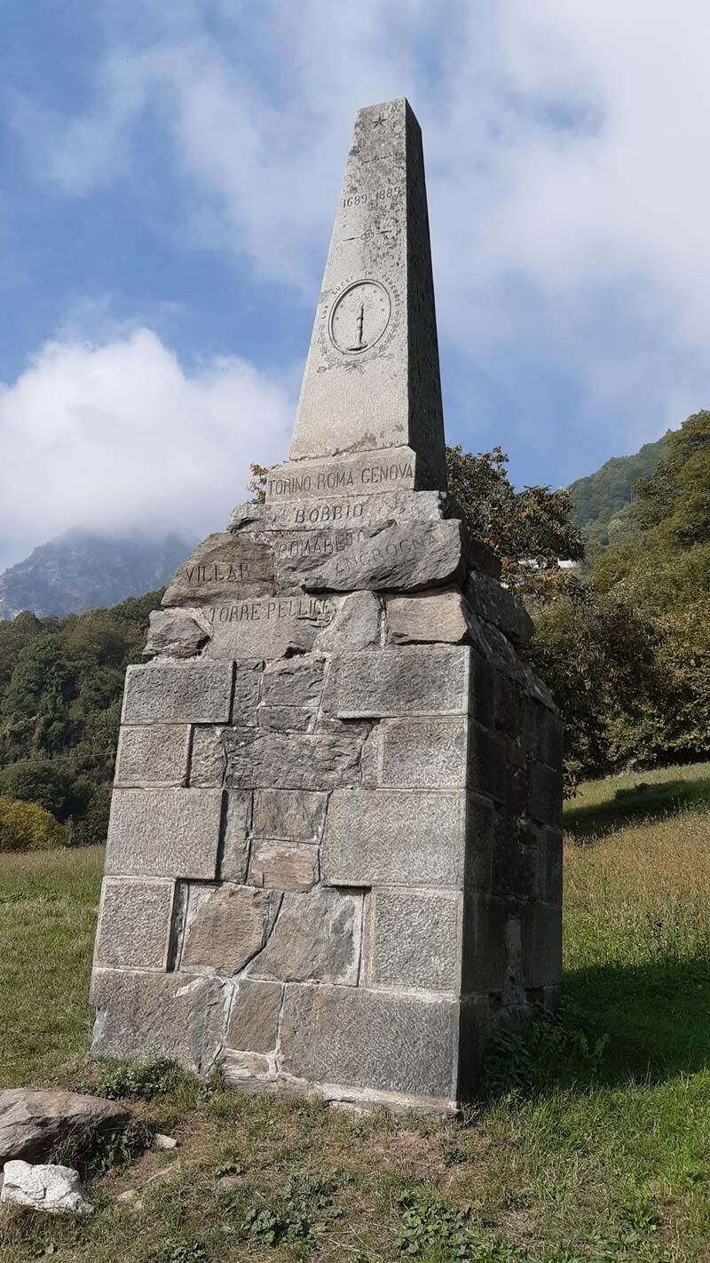

From the main square of the village, head towards the stream and before the bridge take a right on the paved road that runs along an equipped area. At the end of the road, follow the dirt road on the left running along the Pellice up to the bridge, where briefly descending back on the provincial road you then take the left turn to the localities Balmette and Sibaud (830 m a.s.l. - Waldensian historical monument).
The paved road rises quite steeply with several hairpin bends, and after passing the hamlet of Podio (where you skip the left dirt road detour to Cruello), you enter a beautiful forest up to the edges of the hamlet of Lower Sarsenà (1,150 m a.s.l.).
Continuing on the road, which becomes dirt, you reach the houses of Upper Sarsenà, where the road levels out to a hairpin bend with a fork. If you take right, with a short detour you reach the panoramic locality of Serre Sarsenà. Instead, go straight arriving with a couple more climbs at the hamlet Serre Cruel (1,325 m a.s.l.), in a splendid position and the highest point of the route.
From here, still on dirt road, start descending until a fork with signs for Col Giulian (trail no. 125 – Glorious Waldensian Return): keep left staying on the main dirt road. Continue ignoring all detours, arriving at a ford on the Cruello stream (1,145 m a.s.l.).
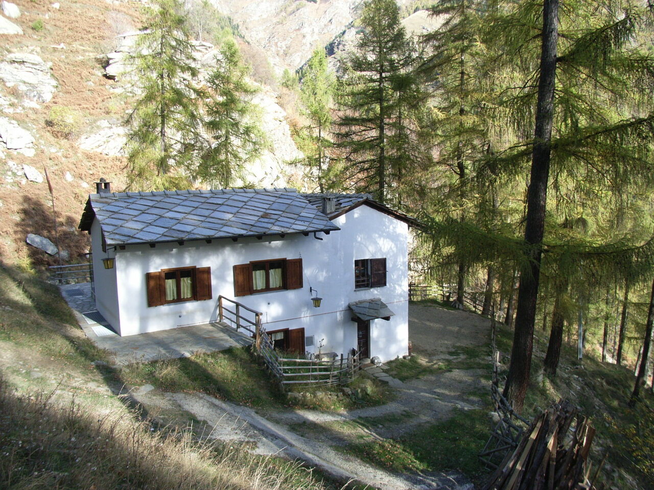
From here, with a detour continue right along the bank of the stream, to cross it shortly after on a second ford and arrive with a short climb to the Cruello refuge (1,230 m a.s.l.), where there is a free charging point for e-bikes. From the Cruello refuge it is possible to take the homonymous variant continuing on the forest dirt road that climbs the beautiful woods at the foot of Punta Bariount, up to a junction where a single-track trail (quite wide) goes down to the left: it is an old military mule track, recently restored, which with beautiful switchbacks and through a magical forest leads to a dirt road near the hamlet of Balangie. From here you quickly rejoin the main route, before descending to the hamlet Serre Campi.
From the refuge, return back, this time crossing the first ford and continuing downhill on the dirt road running along the stream, ignoring all detours both left and right. After a while, the road becomes paved and you pass through the houses of the hamlet Serre Campi (950 m a.s.l.), rejoining finally the provincial road to Villanova.
Continue ascending towards Villanova on the paved road, until an electric power station where on the left there is a ford crossing the Pellice stream. This is variant B "Lower Track", which allows shortening the route, also reducing the overall altitude difference. Continuing instead on the asphalt passing another bridge on the Pellice, after a wide curve you reach a bridge on a secondary stream near the hamlet Rostagni, where on the left starts a dirt road ("Upper Track").
This forest road ascends to the left entering the chestnut woods of the opposite side of Bobbio, with a long cut below Punta Garin, reaching the houses of Lauset (970 m a.s.l.), then descending via Fonte della Salute, from which you reach the bridge on the Pellice and return to the main square of Bobbio Pellice.
Appropriate clothing and equipment are recommended.
The "CRUELLO" variant can be ridden only by the most experienced and trained cyclists.
From Turin take highway A55 to Pinerolo, then follow the SP 161 of Val Pellice for about 24 km to Bobbio Pellice.
To reach Bobbio Pellice, after reaching Pinerolo by bus or train, you can take the Arriva company bus which arrives directly in the town center.
Near the village square and in the immediate surroundings there are numerous free parking spaces.
3
Cyclability: 100%
Recommended direction: COUNTERCLOCKWISE
Technical difficulty MC/MC
Popularne wycieczki w okolicy
-
Gran Tour del Monviso
średniWędrówka 57,1 km -
5,0
BOBBIO PELLICE Upslowtour - Ring 2 of the refuges
ciężkiJazda na rowerze 37,6 km -
5,0
Invincibles valley - Alpe Caugis
Wędrówka 15,3 km -
BOBBIO PELICE Trekking in the hamlets and forests around Bobbio
średniWędrówka 7,72 km -
5,0
BOBBIO PELLICE Climb to the Barbara Lowrie Refuge
ciężkiDroga rowerowa 9,19 km -
TORRE PELLICE The Shepherds' Way
światłoMountainbike 11,0 km -
TORRE PELLICE Naturalistic trail "The Jay"
światłoWędrówka 10,2 km -
The Fort Roads - stage 11 from Massello to Prali
ciężkiTrasa pielgrzymki 13,7 km -
PRAROSTINO From Piani to Sonagliette and back - SLOWLY TOGETHER
światłoWędrówka 6,60 km -
VILLAR PELLICE Inverso path
światłoWędrówka 5,62 km
Wędrówki i tropienie


Nie przegap ofert i inspiracji na następne wakacje
Twój adres e-mail została dodana do listy mailingowej.





