


Cycling in the Parco del Re - Venaria Reale and Parco della Mandria
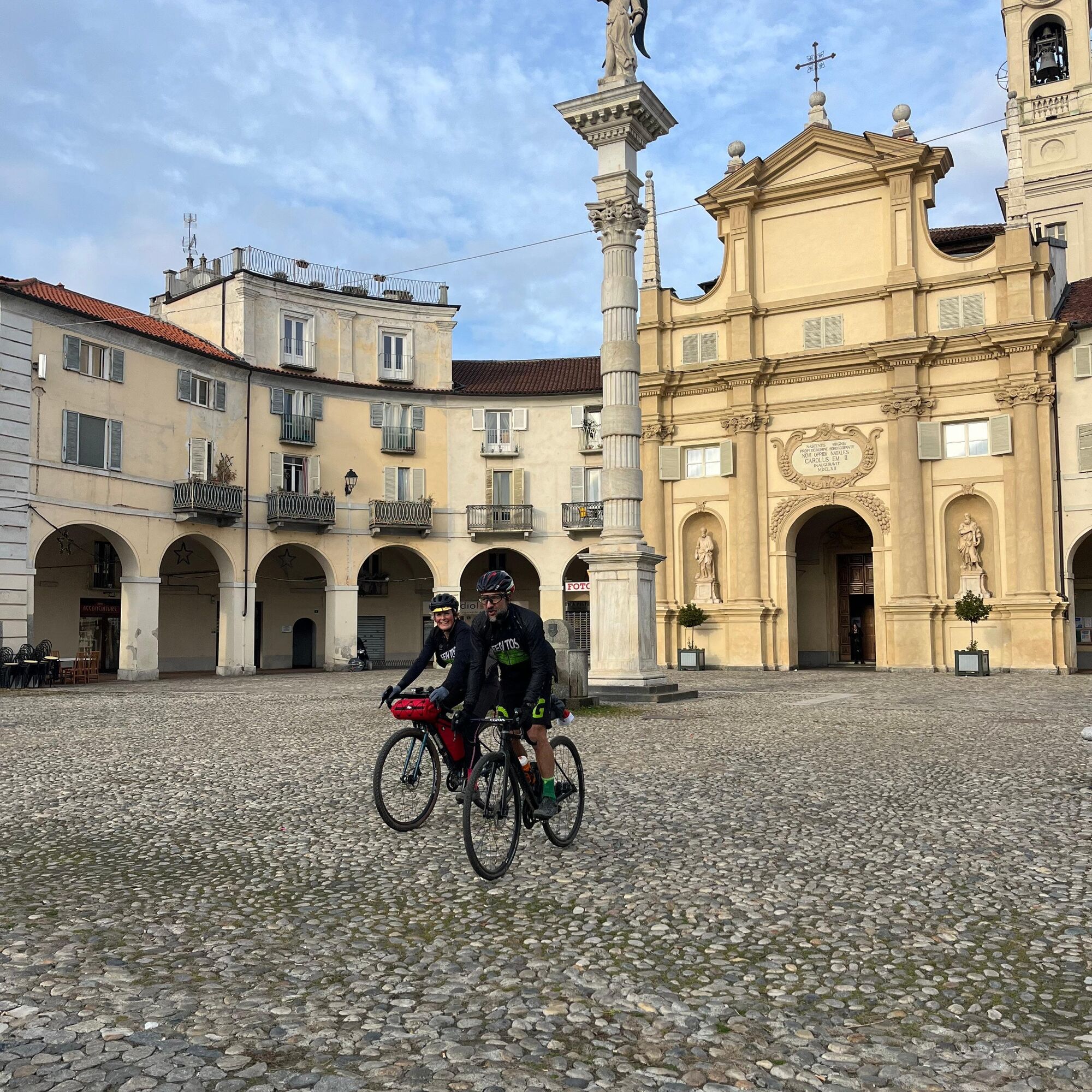
The route allows you to leave the city of Turin following some cycle paths that cross its outskirts, until reaching the center of Venaria Reale, with the spectacular Via Mensa, which leads to the entrance...
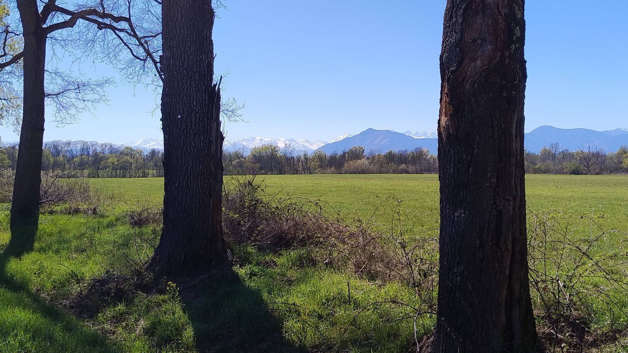
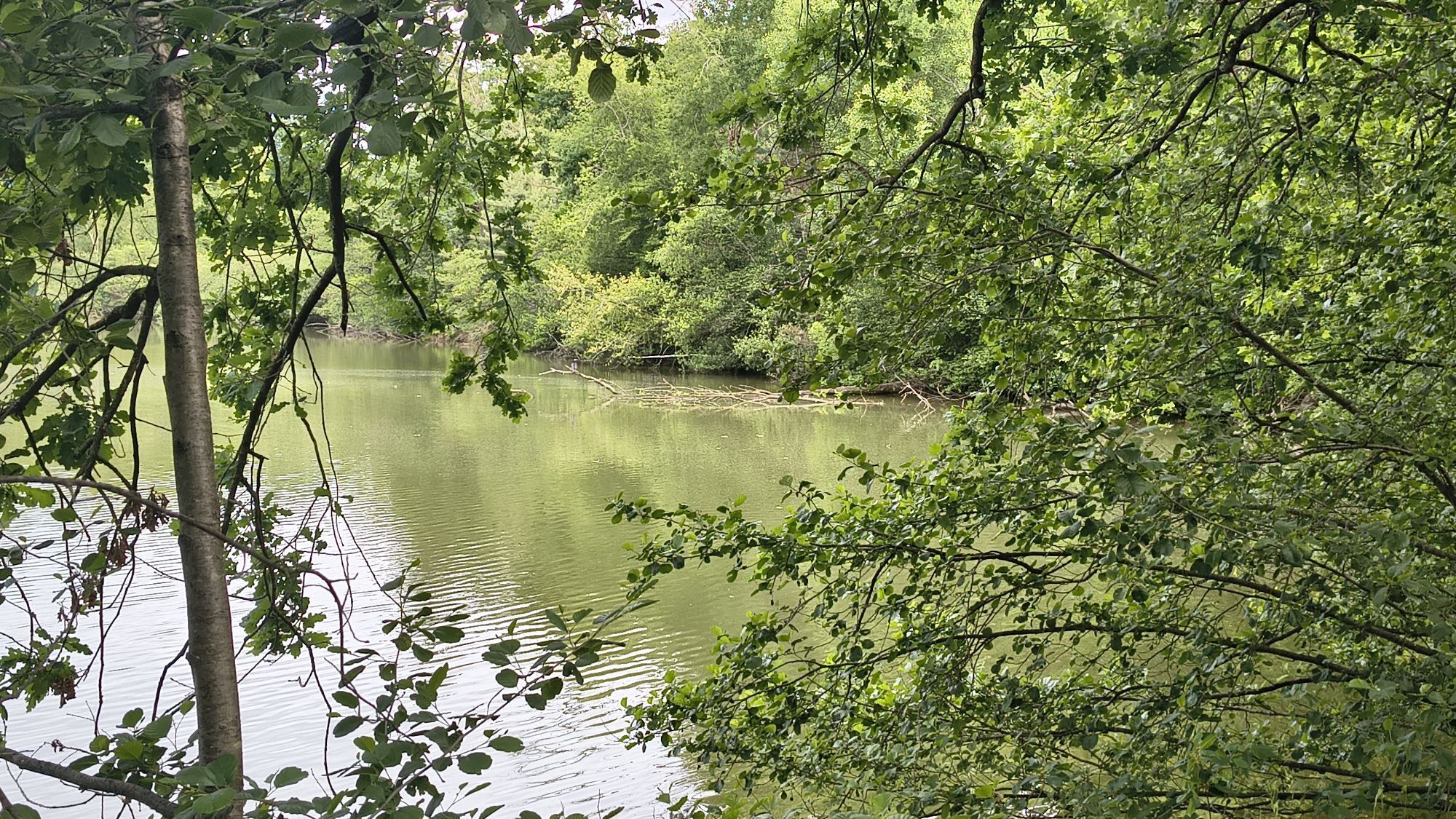
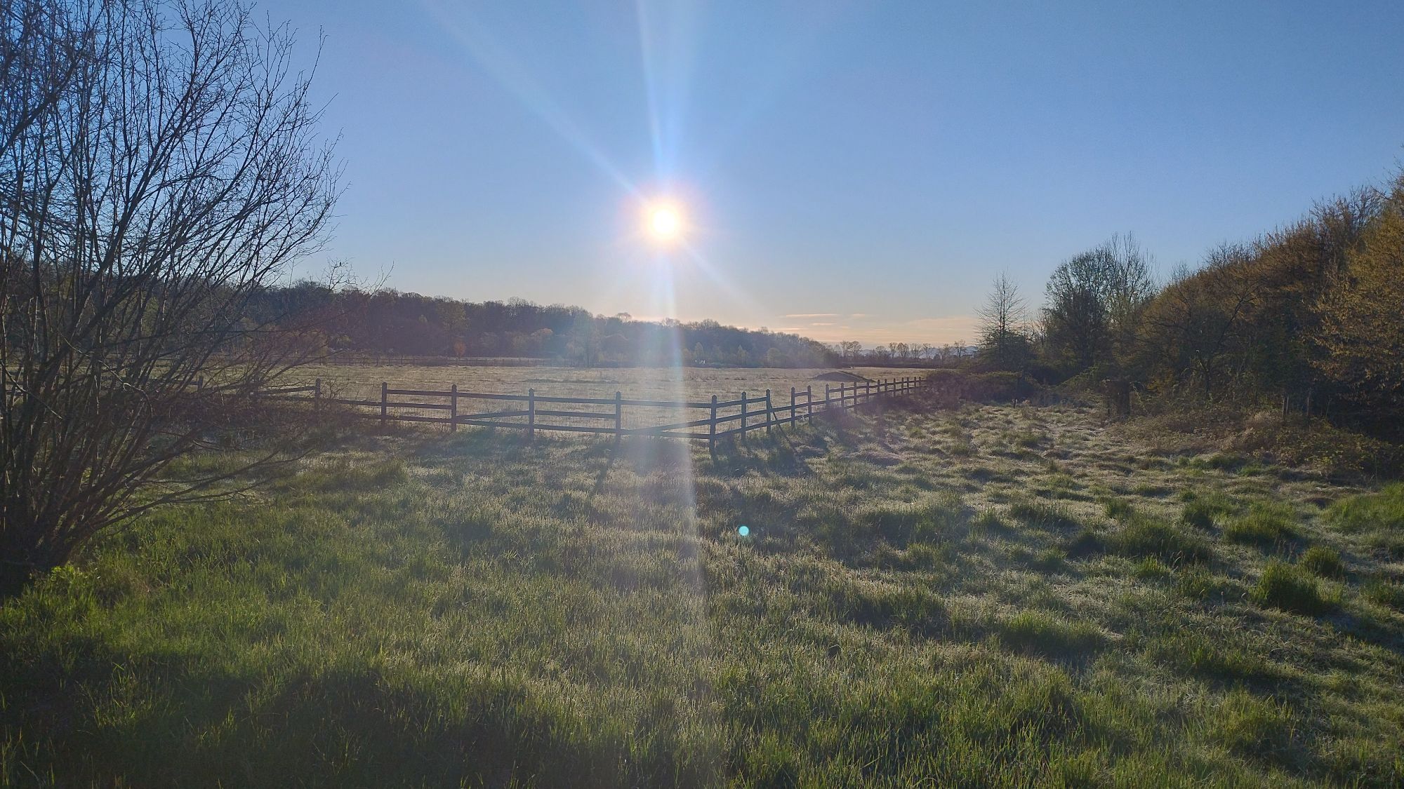
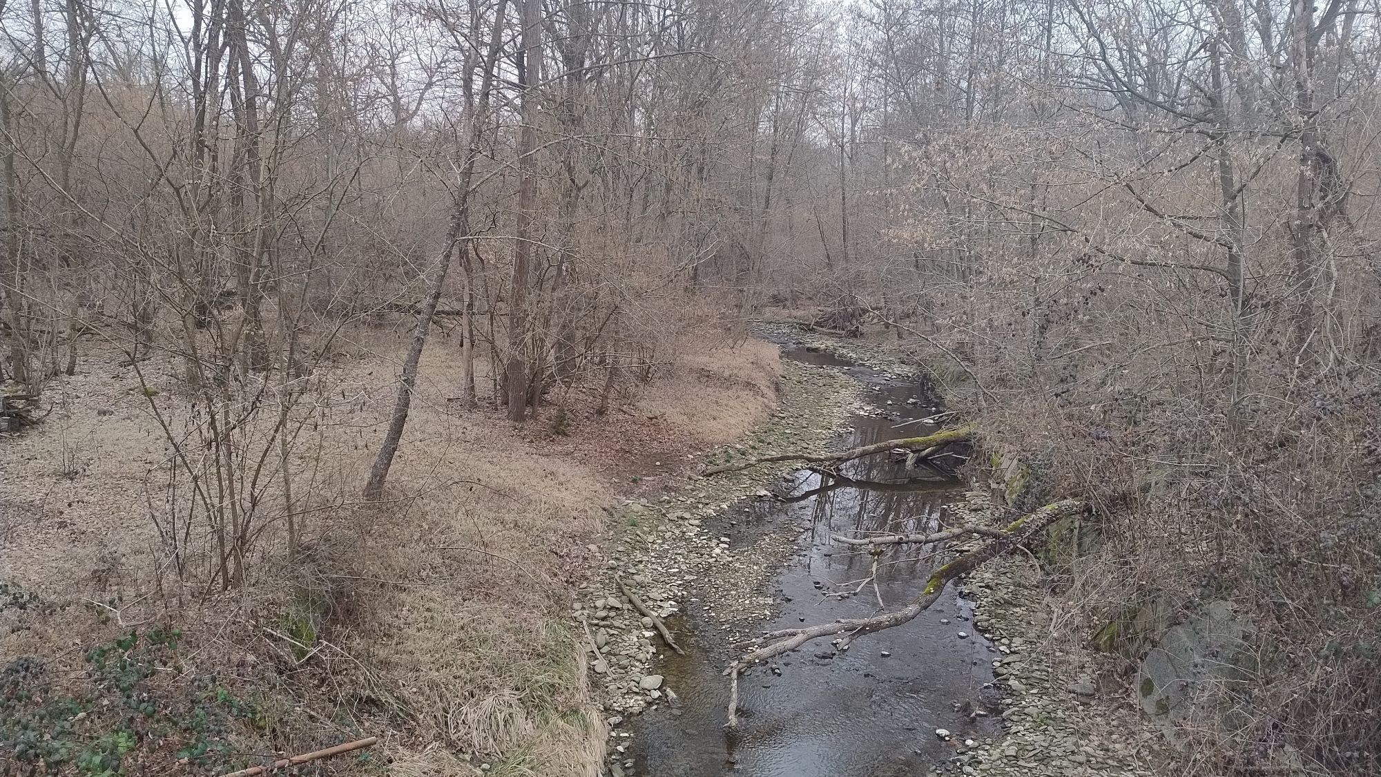
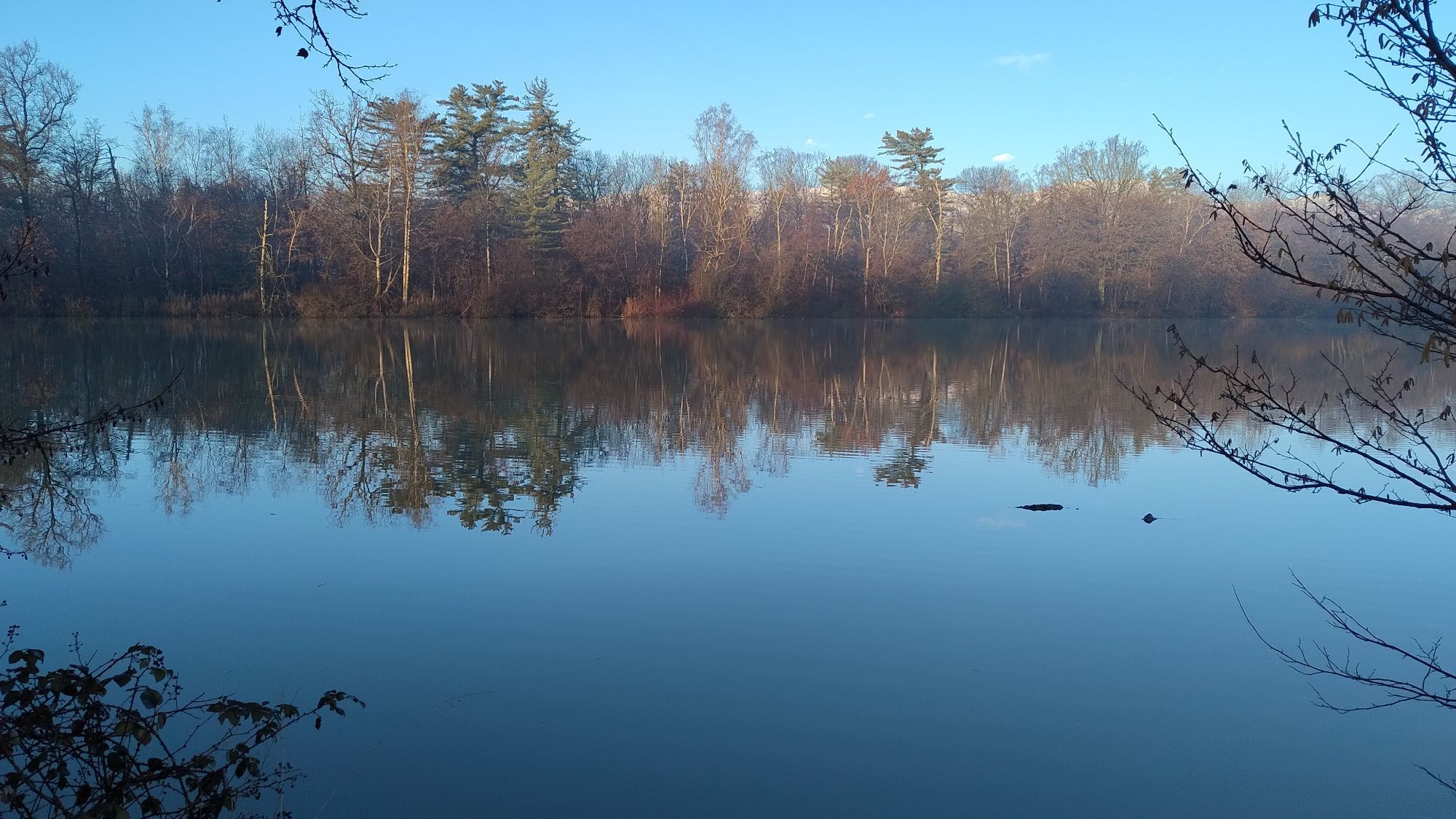
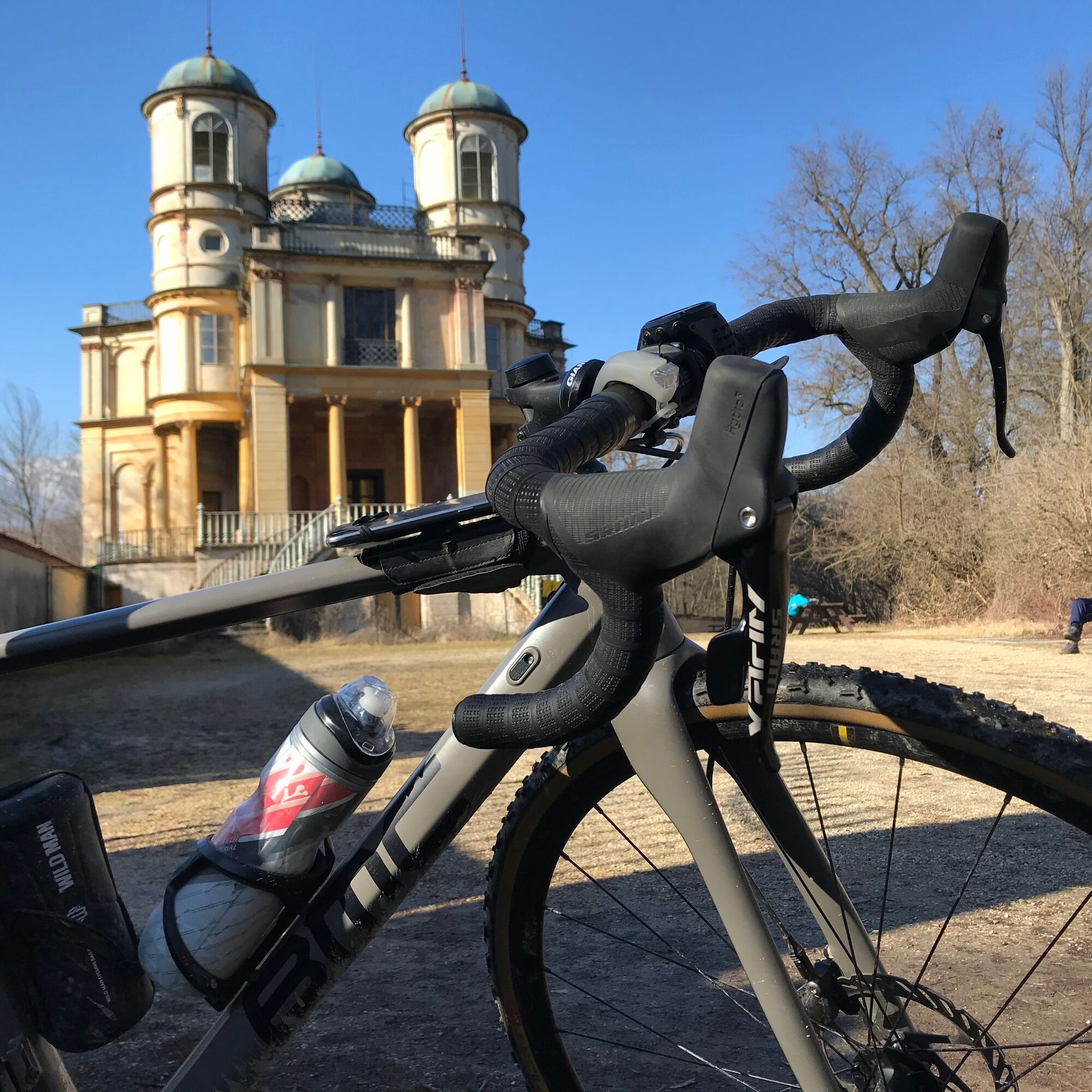
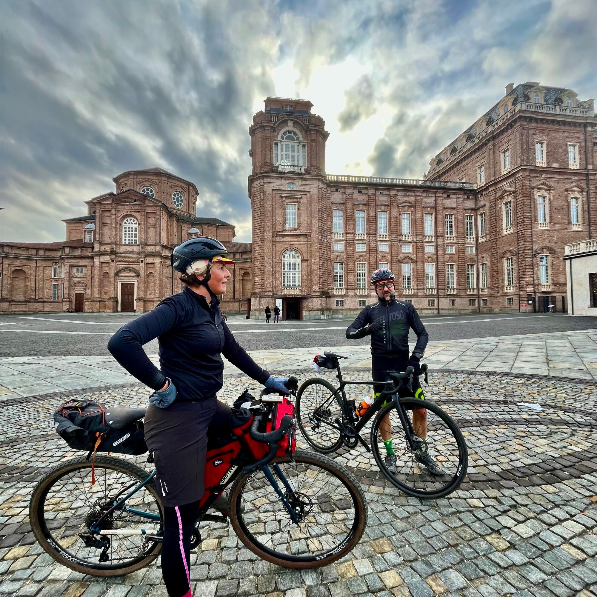
The route allows you to leave the city of Turin following some cycle paths that cross its outskirts, until reaching the center of Venaria Reale, with the spectacular Via Mensa, which leads to the entrance of the Reggia. After the Reggia, you enter the walls of the Parco della Mandria, a vast private hunting reserve in the times of the Savoy. Dirt roads, farmhouses, riding stables, castles and villas, along with wonderful woods, make up the treasure of this park. One curiosity that must be seen, although it is in a somewhat neglected state of maintenance, is the Villino della Bizzarria, with a very imaginative architectural style, along the west wall of the Park.
https://residenzerealisabaude.com/

From Parco Pellerina, entrance Appio Claudio, cross the green area towards the north, reaching a cycle-pedestrian footbridge that crosses Corso Regina Margherita. Another cycle path allows crossing Via Pianezza, entering the Vallette district. At the end of Via delle Primule, turn left towards Cascina Cavaliera. Pass Savonera and follow the track until Venaria Reale. From Piazza dell'Annunziata follow Via Andrea Mensa to the main entrance of the Reggia. Ride about one hundred meters along Via Amedeo di Castellamonte then turn left onto Viale Carlo Emanuele II and enter the Park. The proposed route is counterclockwise with 2 variants to reach points of interest, but random exploring can be a valid alternative if you have time and curiosity. From the Bizzarria, return east following Strada Lungo Muro and exit the Park at Druento. After passing the town, follow Via Torino to the roundabout before Savonera, turn right onto Via Venaria (direction Pianezza). Shortly before Pianezza, take a cycle path that descends to the banks and crosses the Dora Riparia (Via della Piombia), then climb the opposite bank to reach near Viale Certosa and the Aeritalia flying field. The cycle paths of Viale Certosa and Corso B. Telesio bring us back to the starting point.
Tak
Cycle touring or gravel bike
From the center of Turin follow signs for Corso Regina Margherita and ride it until the Parco della Pellerina
Line 62 - NO bicycle transport
Parking near the park entrance.
Bring a lock to secure your bicycle, in case you want to enrich the bike route with a visit inside the Reggia of Venaria.
Popularne wycieczki w okolicy
- 4,7
On the summit of the magical Musiné
światłoWędrówka 6,94 km CASELETTE - Monte Musiné
średniWędrówka 7,52 kmMONASTEROLO Ca' Bianca and Big Bench
światłoWędrówka 4,13 kmVALLO TORINESE Passo della Croce and the Turu
średniWędrówka 4,29 kmGIVOLETTO Madonna della Neve on Monte Lera
średniWędrówka 6,11 kmMONCALIERI - Biking on the water: Le Vallere and Valentino Park
światłoJazda na rowerze 17,0 kmVARISELLA The ruins of the Baratonia castle, churches, and pools of Varisella
średniWędrówka 10,1 kmLA CASSA Monte Castello Loop
średniWędrówka 11,0 kmFrom Rivalta Torinese to Reano. Mountain Biking on the outskirts of Turin
średniMountainbike 26,5 kmReach Sensimmersion - Inside the Park
ciężkiJazda na rowerze 5,98 km

Wędrówki i tropienie


Nie przegap ofert i inspiracji na następne wakacje
Twój adres e-mail została dodana do listy mailingowej.