


Sentiero Tanaro: Tappa 15: Viola St Gree - Pamparato (Borgo di Valcasotto)
From Viola St Gree, (arrival point of stage 3A) continue to climb on a dirt road, up to the locality "pietra della Madonna" 1550 meters above sea level, the place where it is said that an ancient apparition...
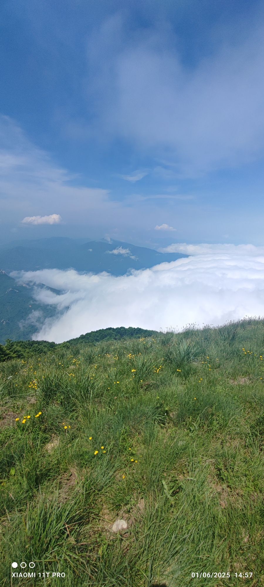
From Viola St Gree, (arrival point of stage 3A) continue to climb on a dirt road, up to the locality "pietra della Madonna" 1550 meters above sea level, the place where it is said that an ancient apparition of the Madonna took place; in the stone there is a small votive altar. From here you enter the "Conca di Prato Rotondo" , and having crossed the source area of the Mongia Torrent, you arrive after about 3.5 km of walking in Prato Rotondo; a large grassy plateau at altitudes between 1500 and 1600 meters and home to some summer pasture structures. The stage continues on the ancient connecting road between Prato Rotondo and Colle di Casotto to go back down to Colle di Casotto - Loc. Accampamento (1377 m asl) which you meet after about 4 km, leaving Bric Mondino (1853 m asl) to the west ). From here, after skirting the structures of the Garessio 2000 ski lifts, take the path that leads to Castello di Casotto, an ancient mule track that runs parallel to the Rio Crosa and lower than the Provincial Road SP178 connecting Garessio and Pamparato . The trail reaches Castello di Casotto after about 2 km and, skirting the Torrente Casotto, it first reaches the Correria del Castello and then the hamlet of Valcasotto (1000 m).

Popularne wycieczki w okolicy
-
The loop trail of Bosconero
średniMountainbike 48,6 km -
The Raschera loop
średniMountainbike 62,1 km -
Sentiero Balcone Monregalese
światłoWędrówka 104,0 km -
Trail No. 10: Colle San Bartolomeo d'Ormea - Colle San Bartolomeo di Garessio
Wędrówka 13,0 km -
Croce cardini - monte Alpet
światłoRakieta do chodzenia po śniegu 4,93 km -
Sentiero Tanaro: Tappa 8 Garessio (Borgata Pian Bernardo, Fraz. di Trappa) - Ormea
światłoJazda na rowerze 11,3 km -
Sentiero Tanaro: Tappa 14 Lisio - Viola St Gree
światłoJazda na rowerze 7,88 km -
Sentiero Tanaro: Tappa 17 Frabosa Soprana (Fraz.Fontane) - Ormea (Rifugio Valcaira)
światłoJazda na rowerze 14,9 km -
Sentiero Tanaro: Tappa 16 Pamparato (Borgo di Valcasotto) - Frabosa Soprana (Fraz.Fontane)
światłoJazda na rowerze 15,0 km -
Sentiero Tanaro: Tappa 6 Nucetto - Priola (Borgata Casario)
światłoJazda na rowerze 16,5 km

Wędrówki i tropienie


Nie przegap ofert i inspiracji na następne wakacje
Twój adres e-mail została dodana do listy mailingowej.