


Historic Mountain Routes | Path of Sant'Anna
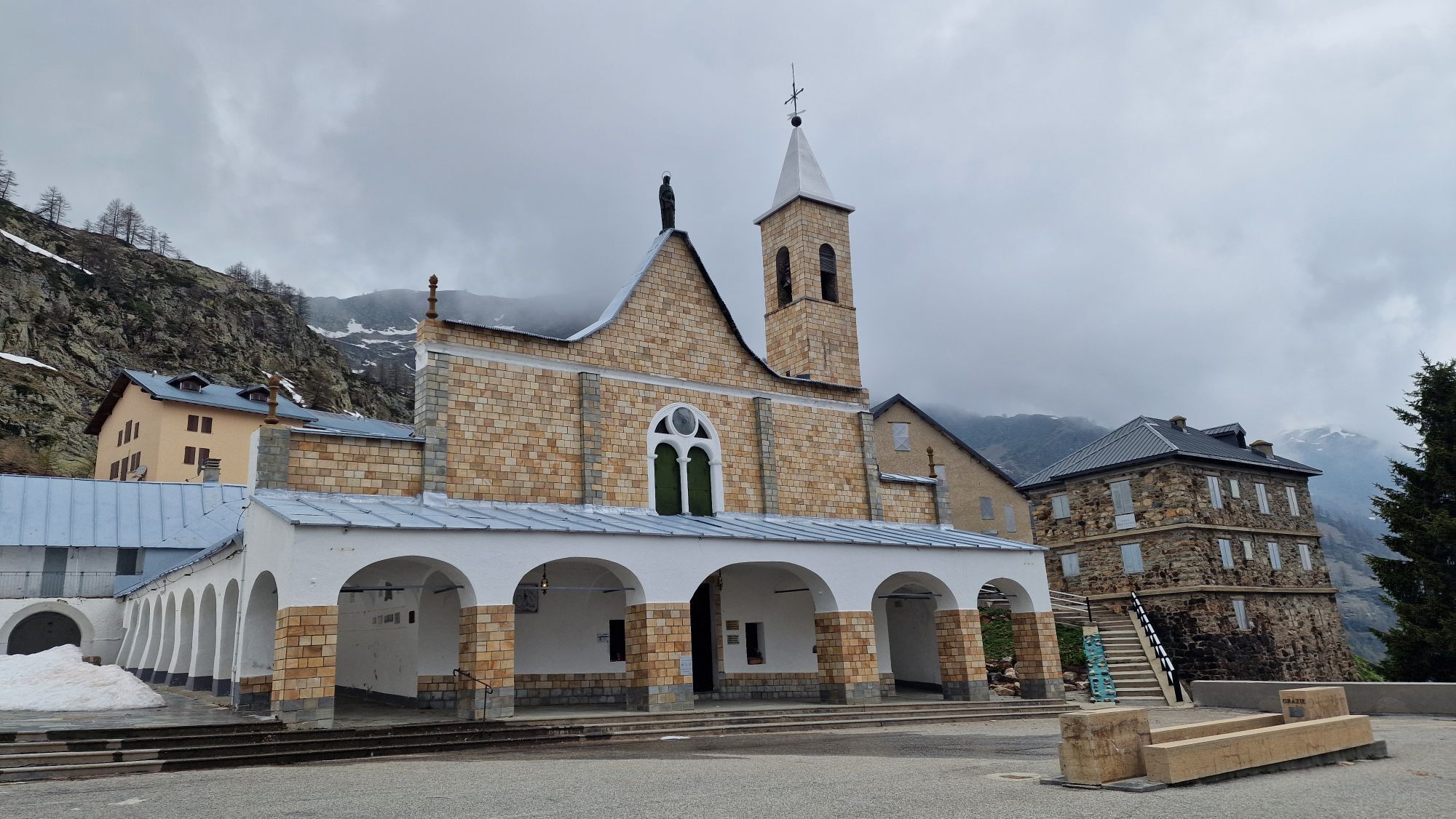
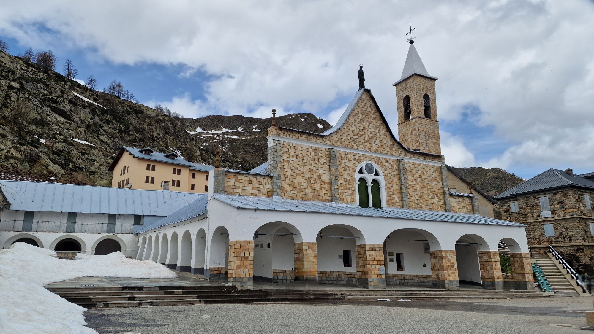
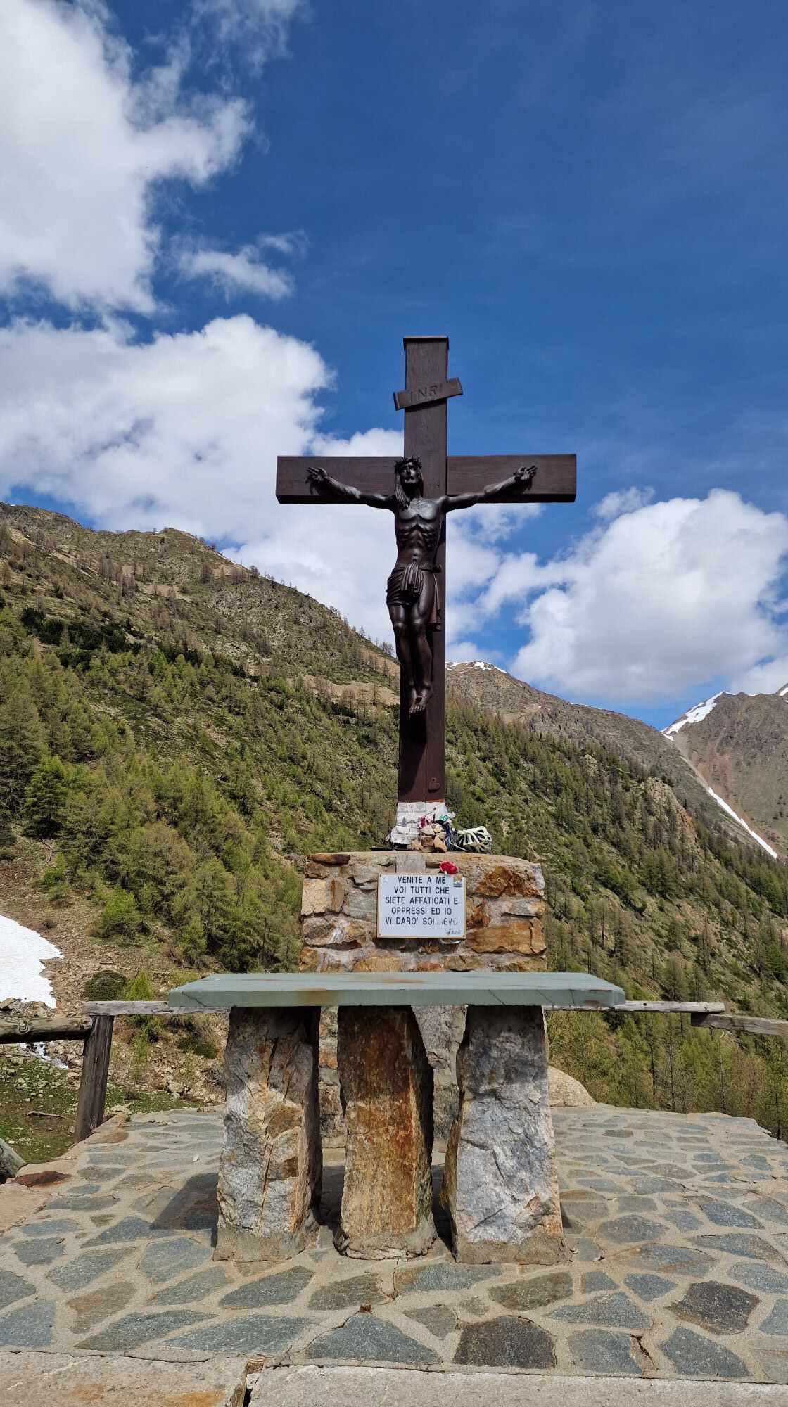


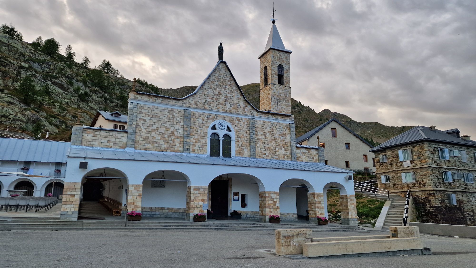
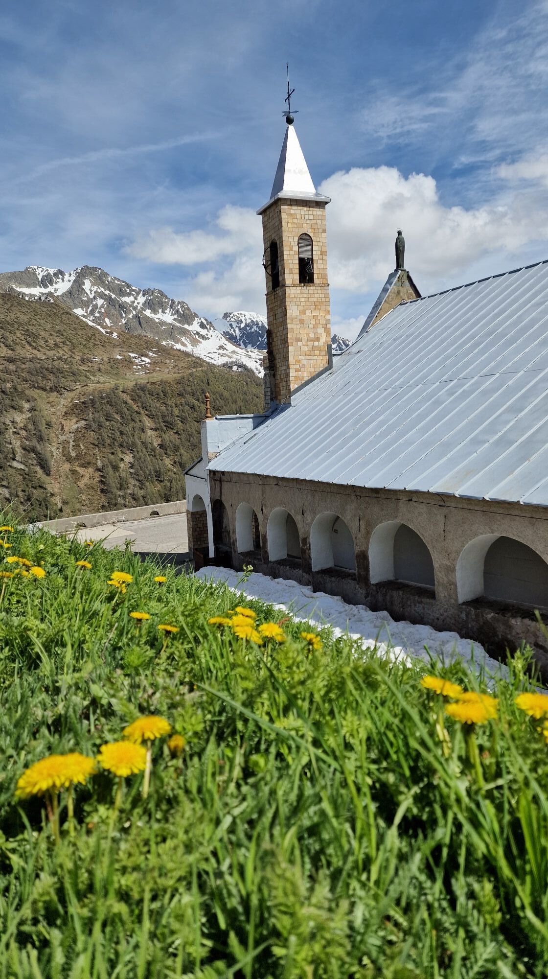
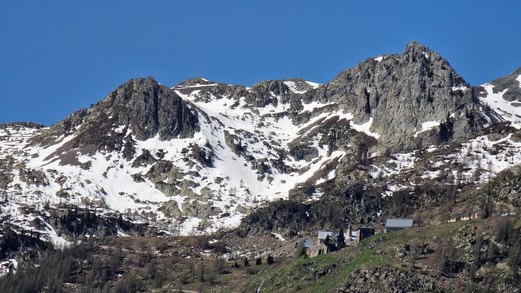


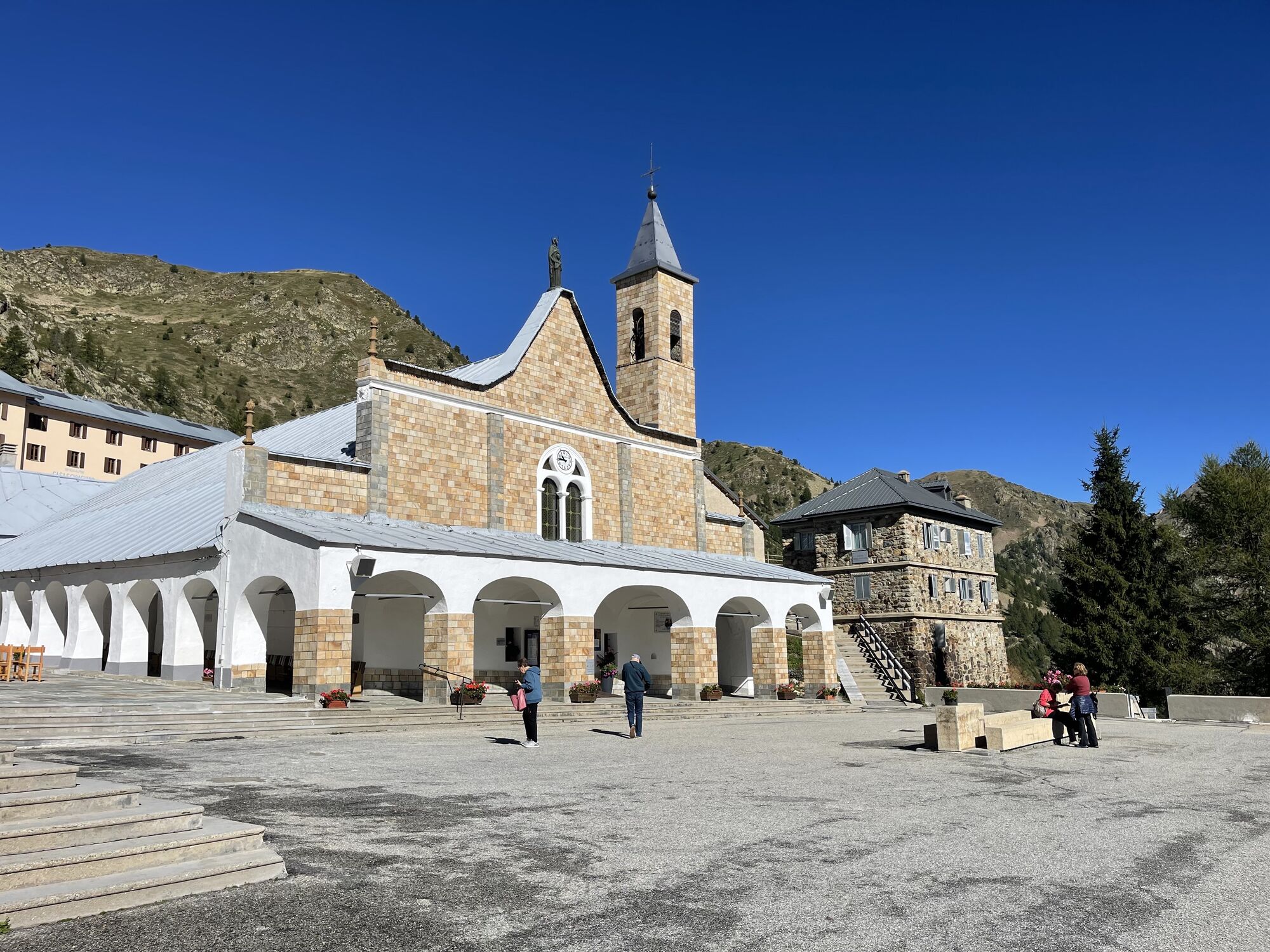

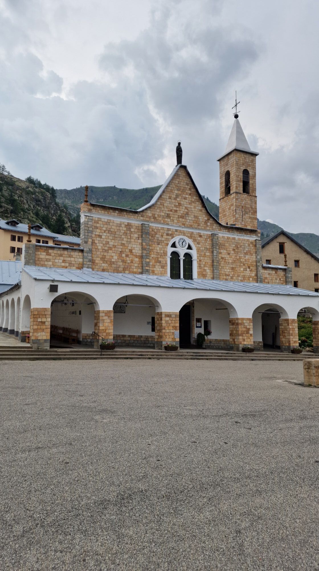
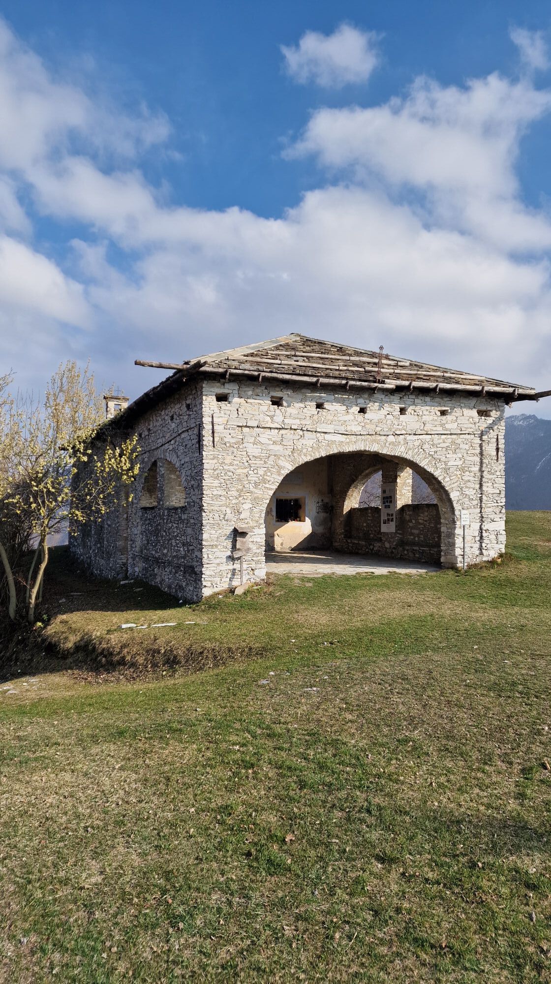
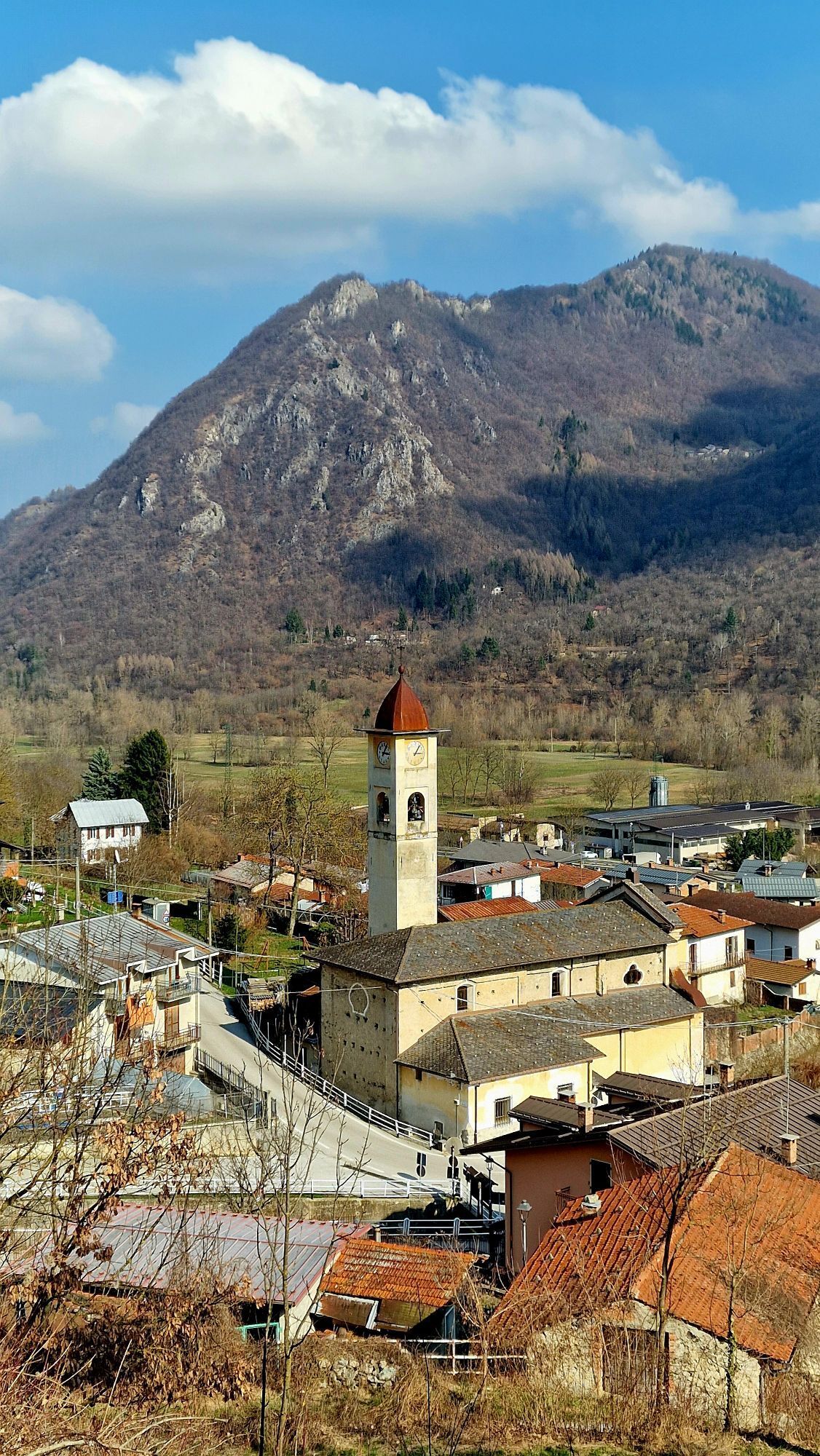
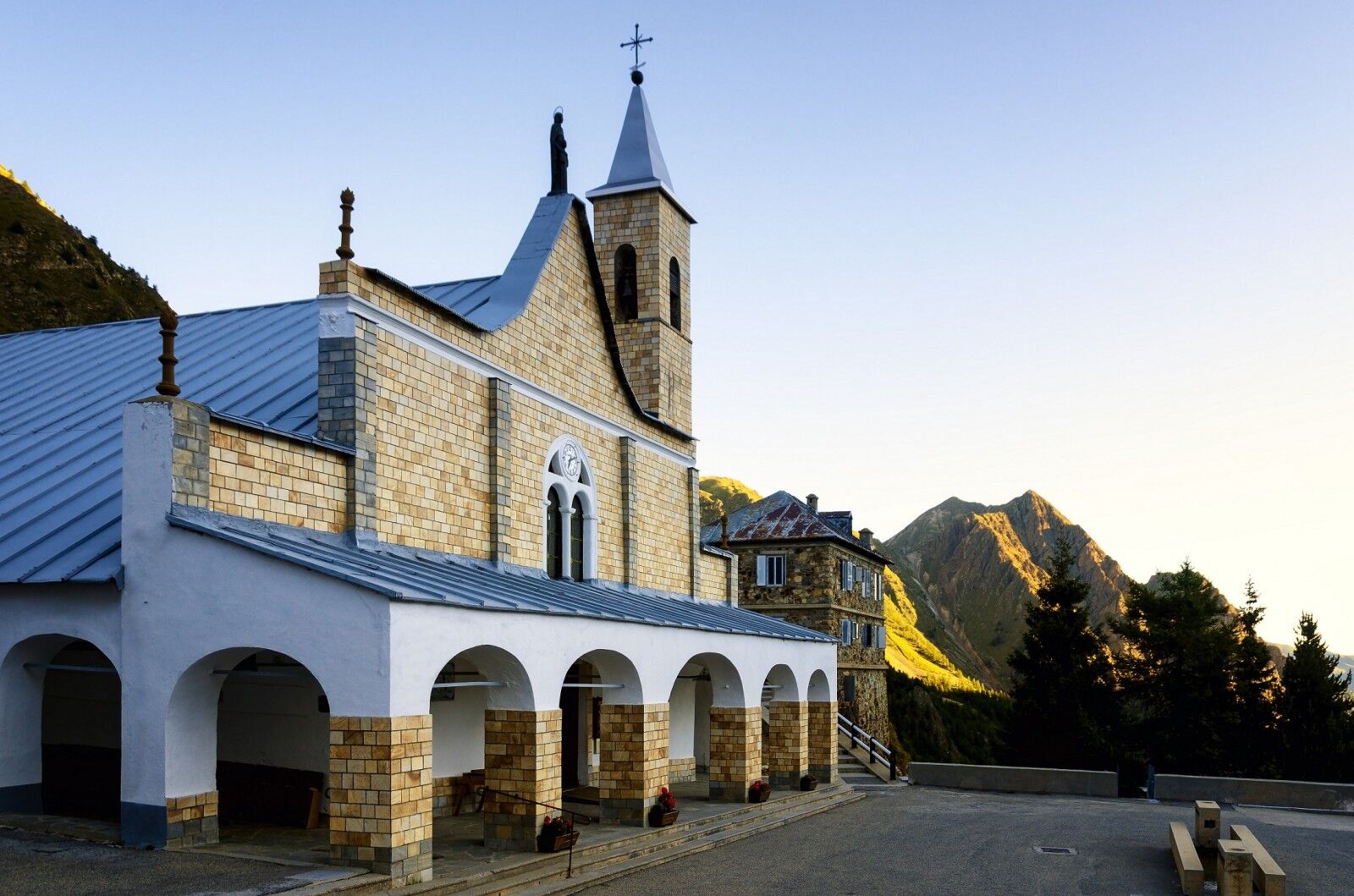
Established between the 11th and 12th centuries as a hospice for wayfarers, the temple was initially dedicated to S. Maria di Brasca and then, between the 15th and 16th centuries, to S. Anna. In 1681 the...
Upon departure in Cuneo, at the ATL Cuneese headquarters, it is possible to purchase the credential.

Four stages:
1) Cuneo-Roccasparvera km 19.6
2) Roccasparvera-Demonte km 17.2
3) Demonte-Vinadio km 14.4
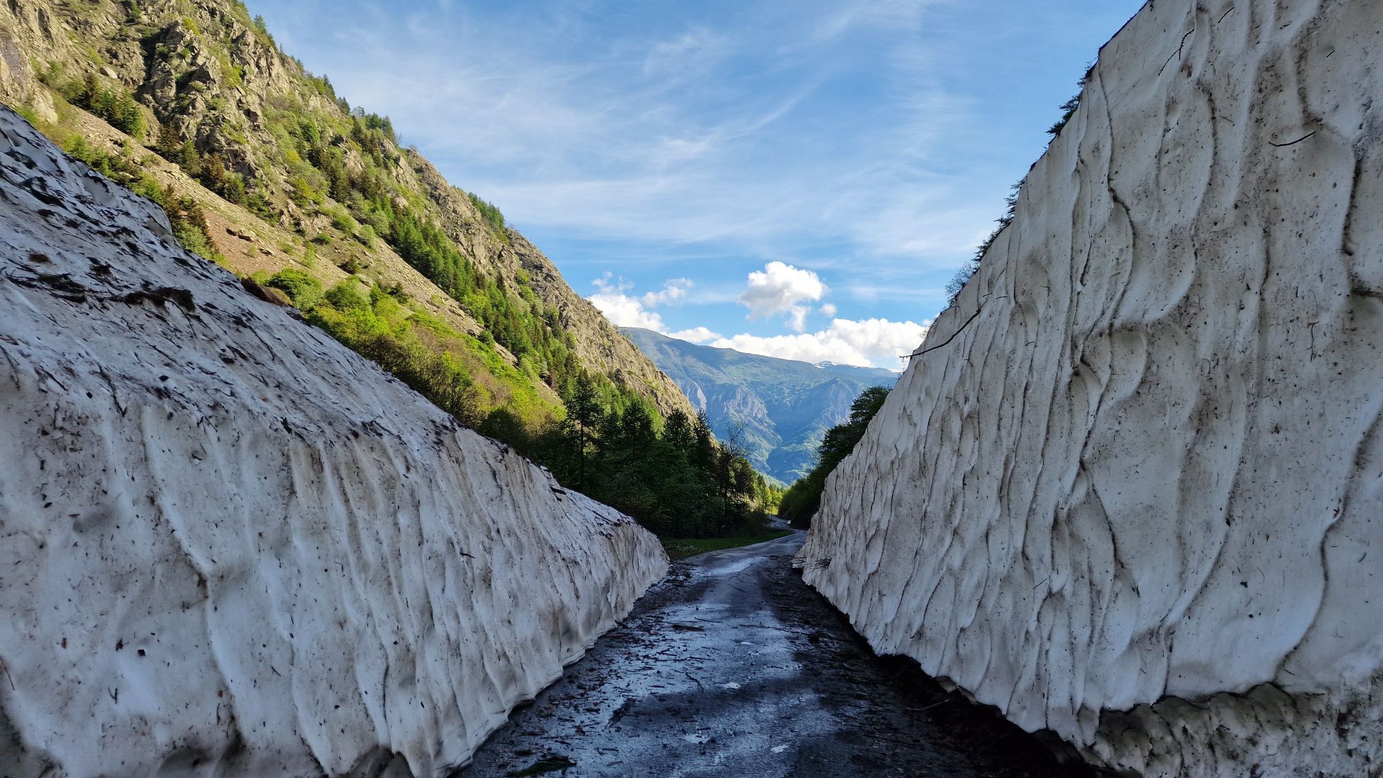
4) Vinadio-Santuario di S.Anna 12.6 Two parallel routes with different traffic intensities: - intense: SS 20, SS 21 and SP 255 (closed to vehicular traffic in the winter months); - reduced: SS 20, SP337 ( ex-military) and SP 255 (closed to vehicular traffic in the winter months).
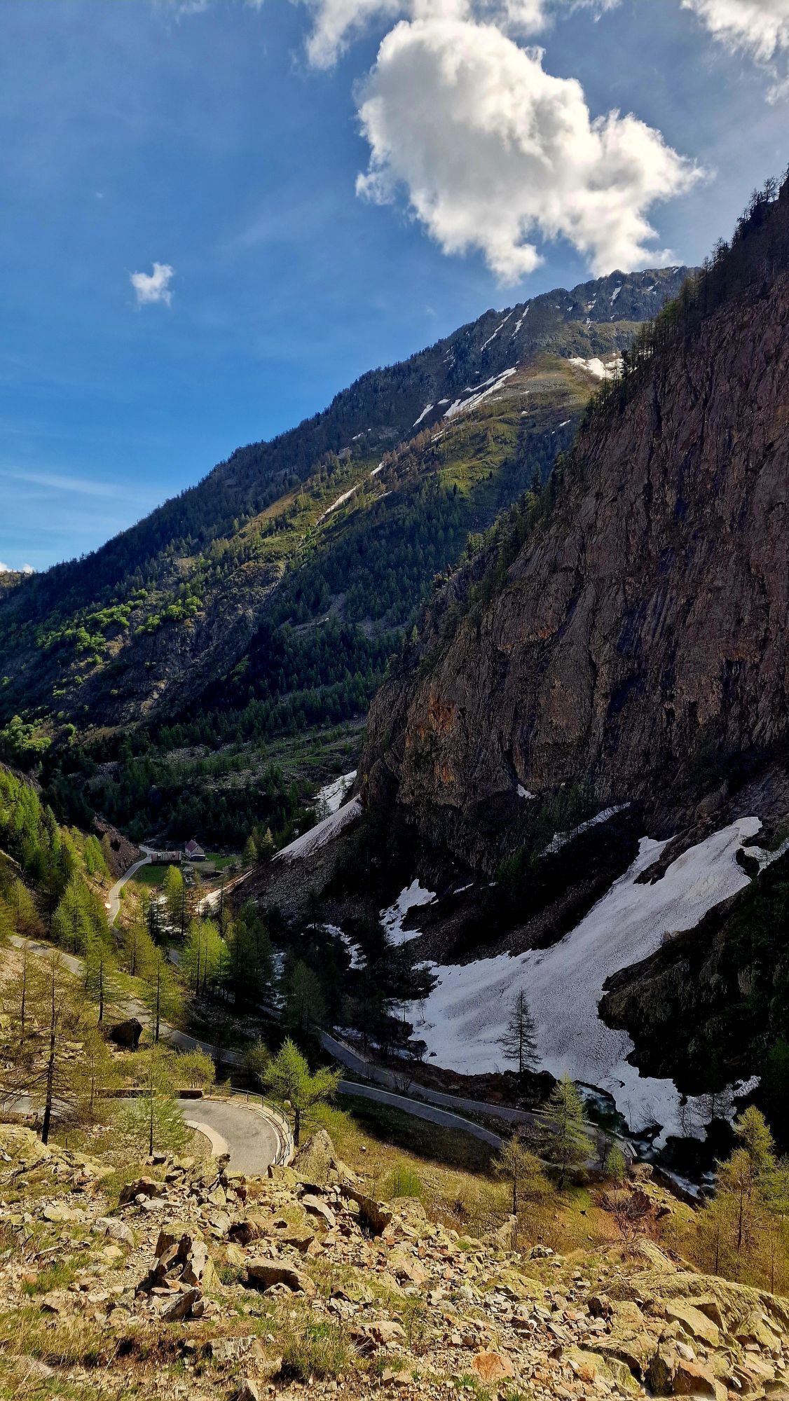
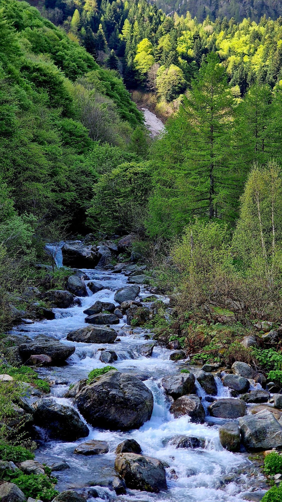
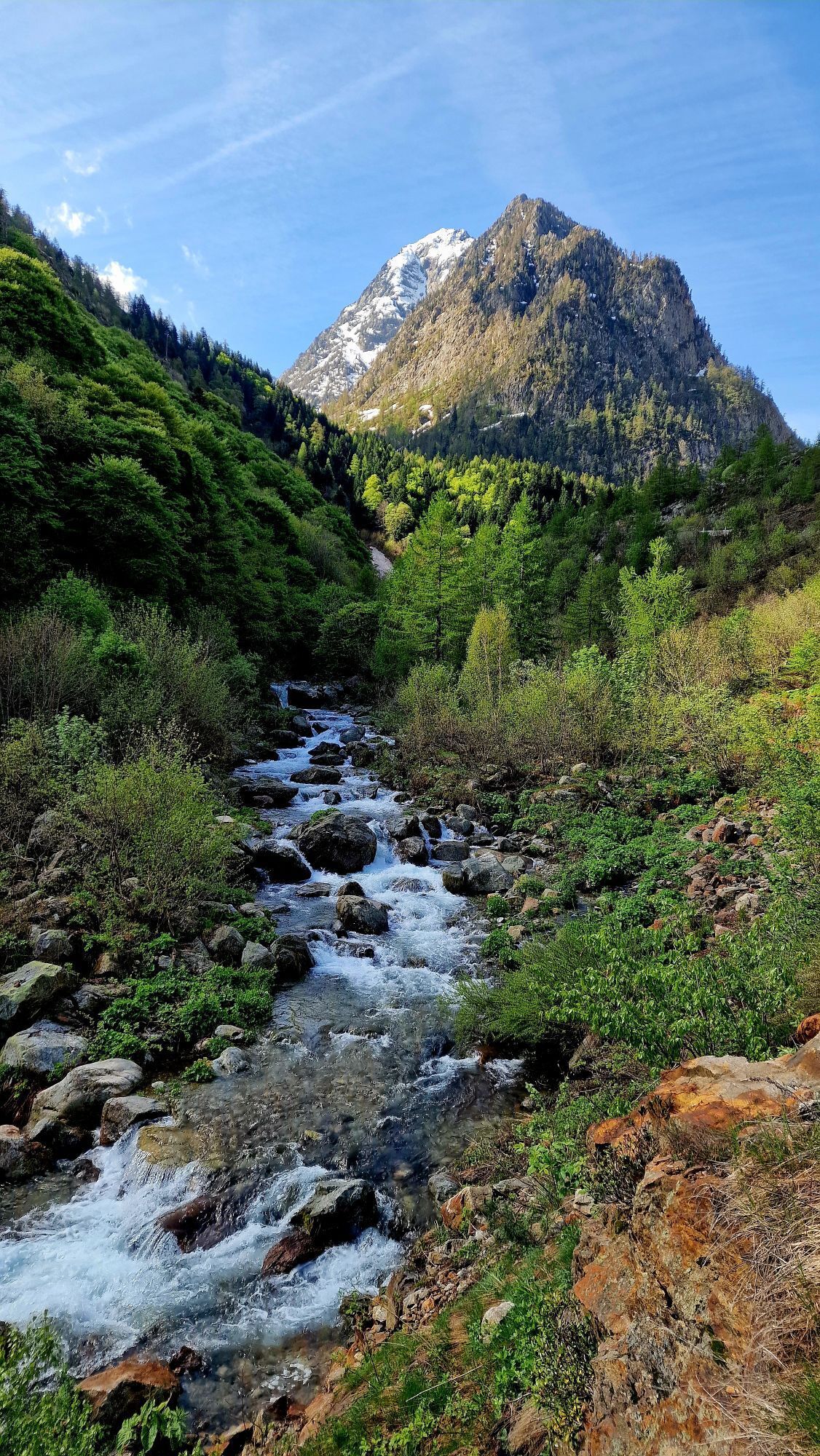
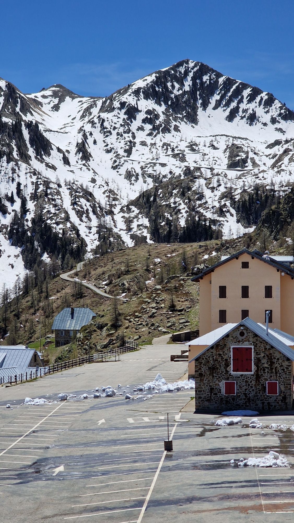
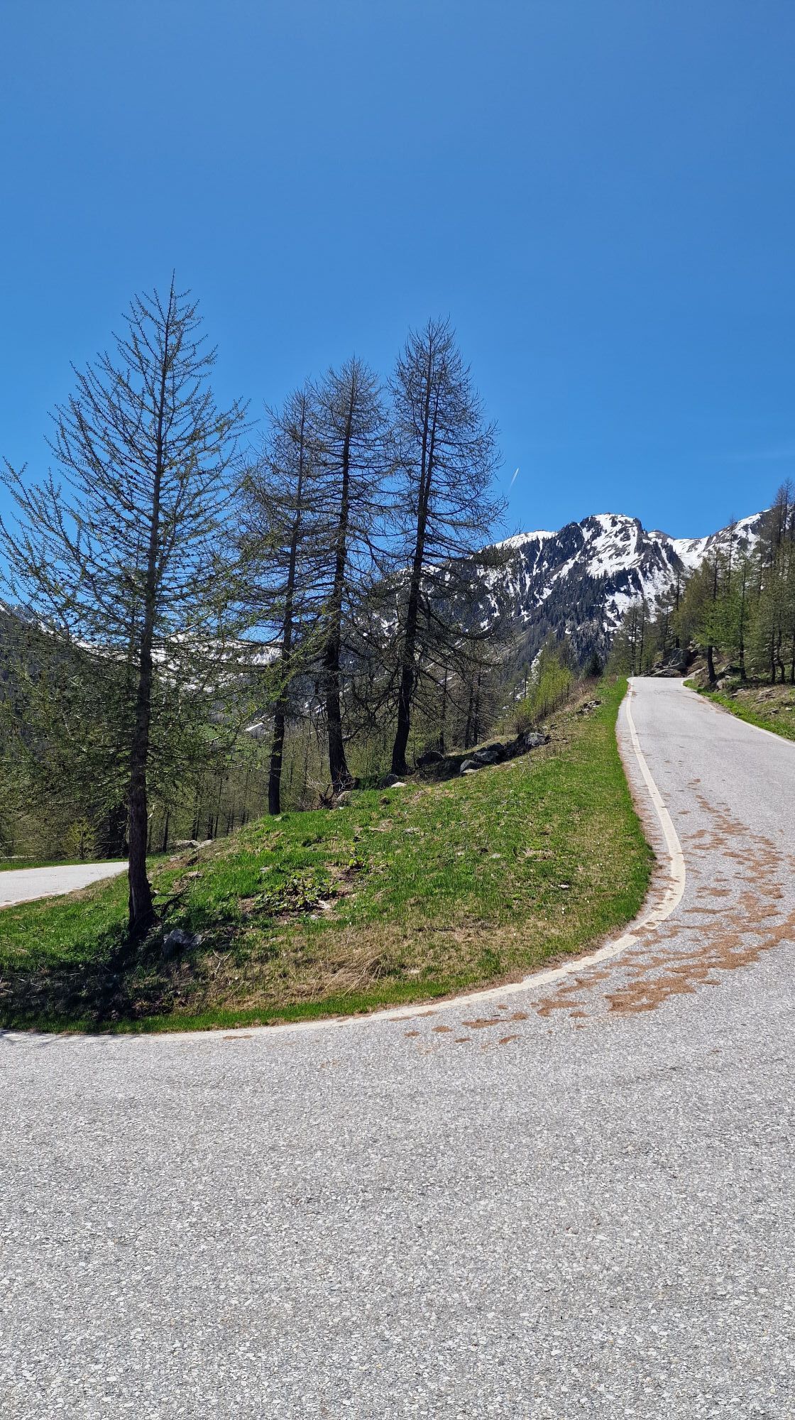
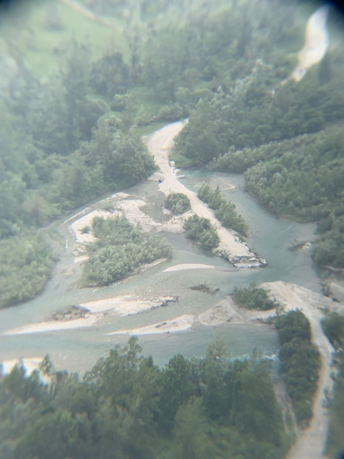
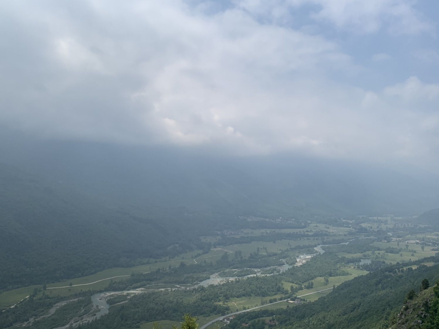
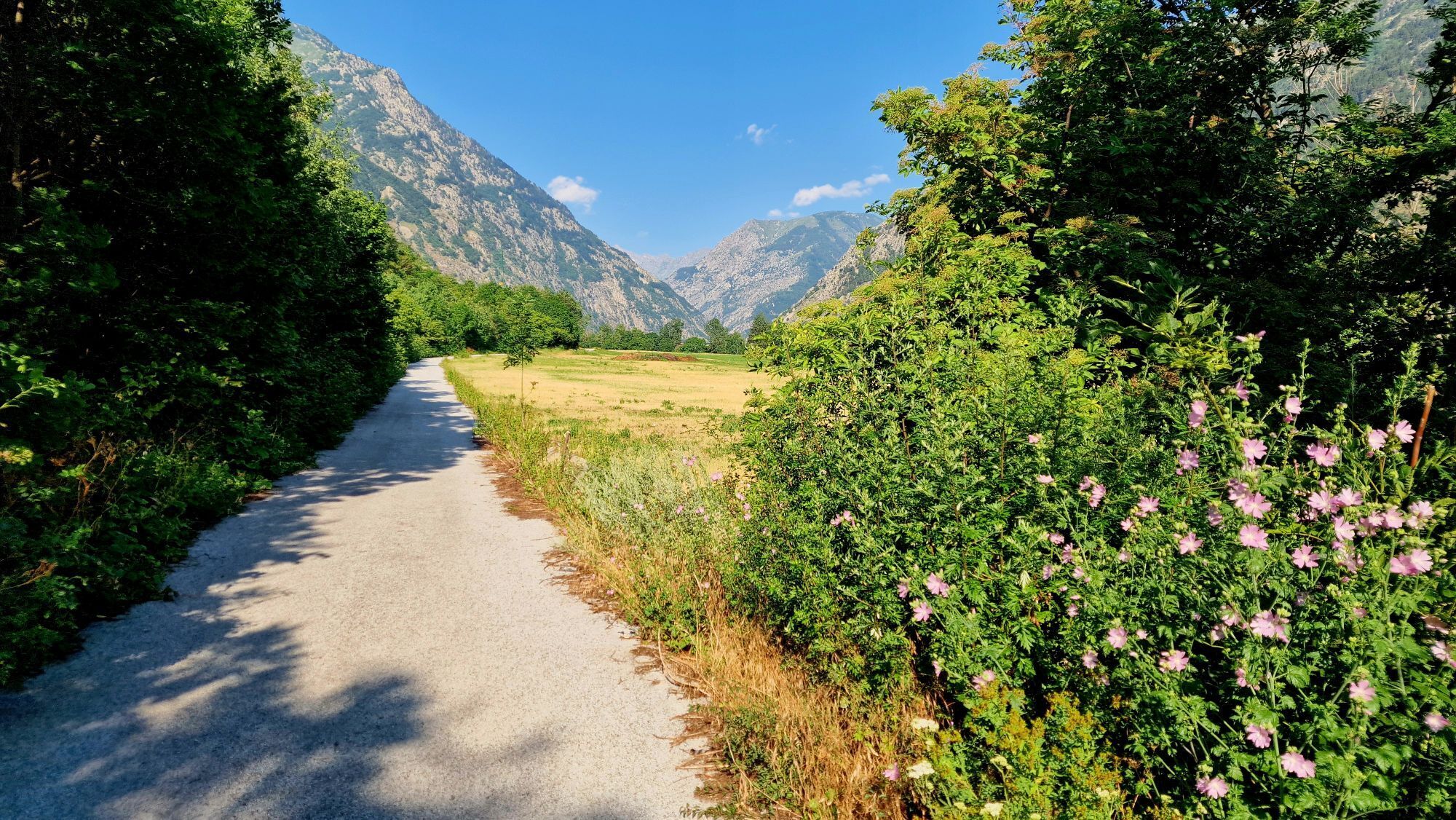
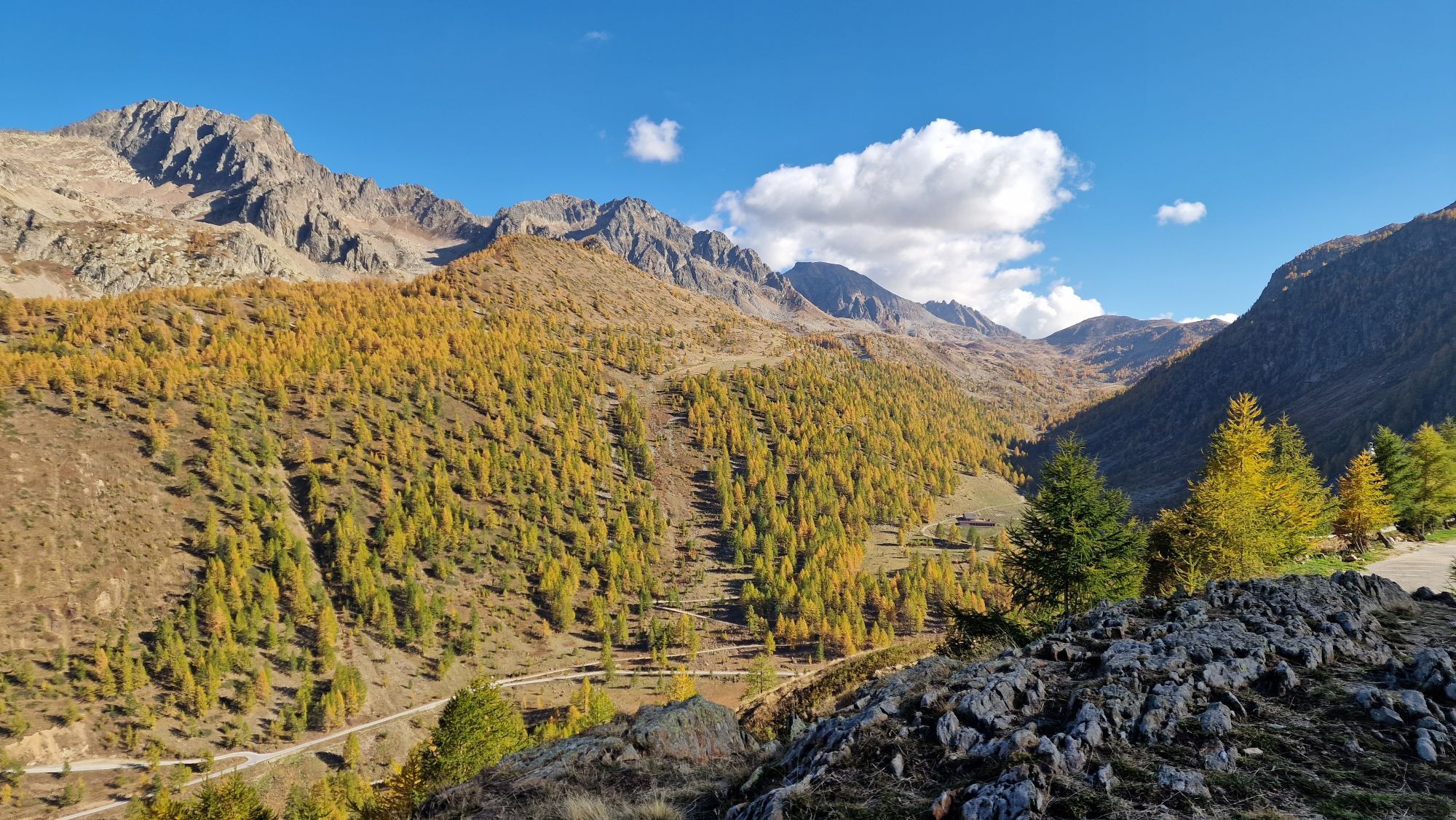
The SP 255 leads to Colle della Lombarda, an Alpine pass connecting with France. The road is also used by shepherds to bring their herds to the pastures. In the last km it is possible to walk along the dirt path, which deviates from the roadway.
Tak
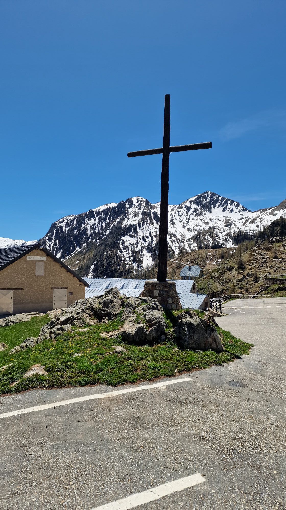
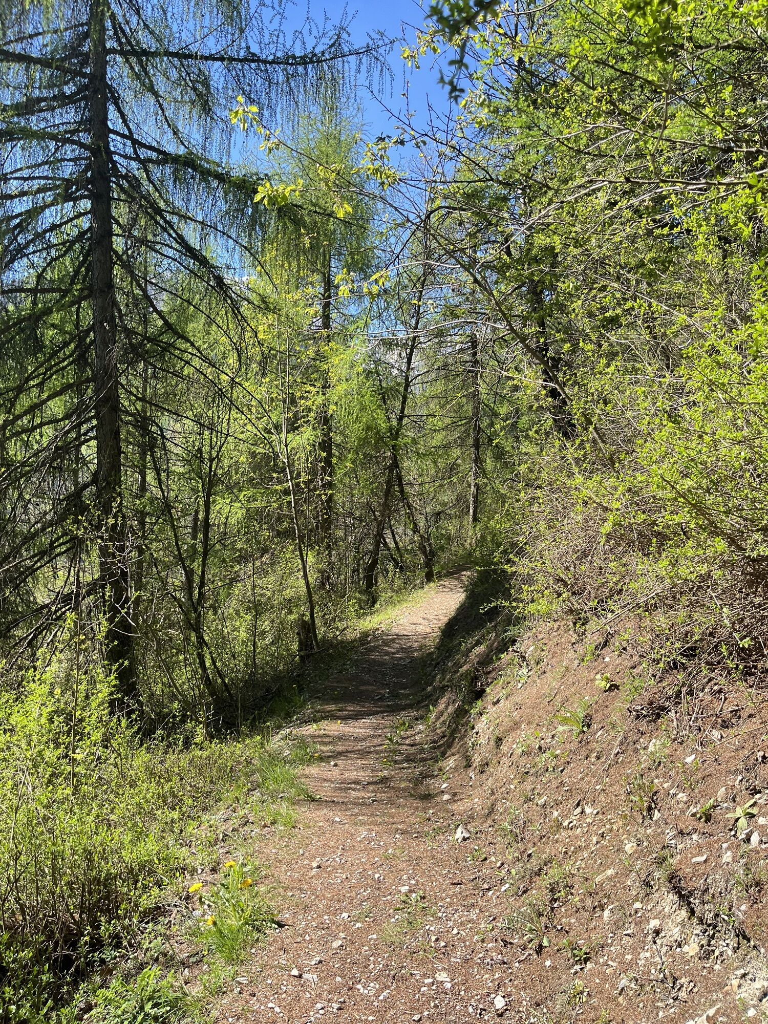
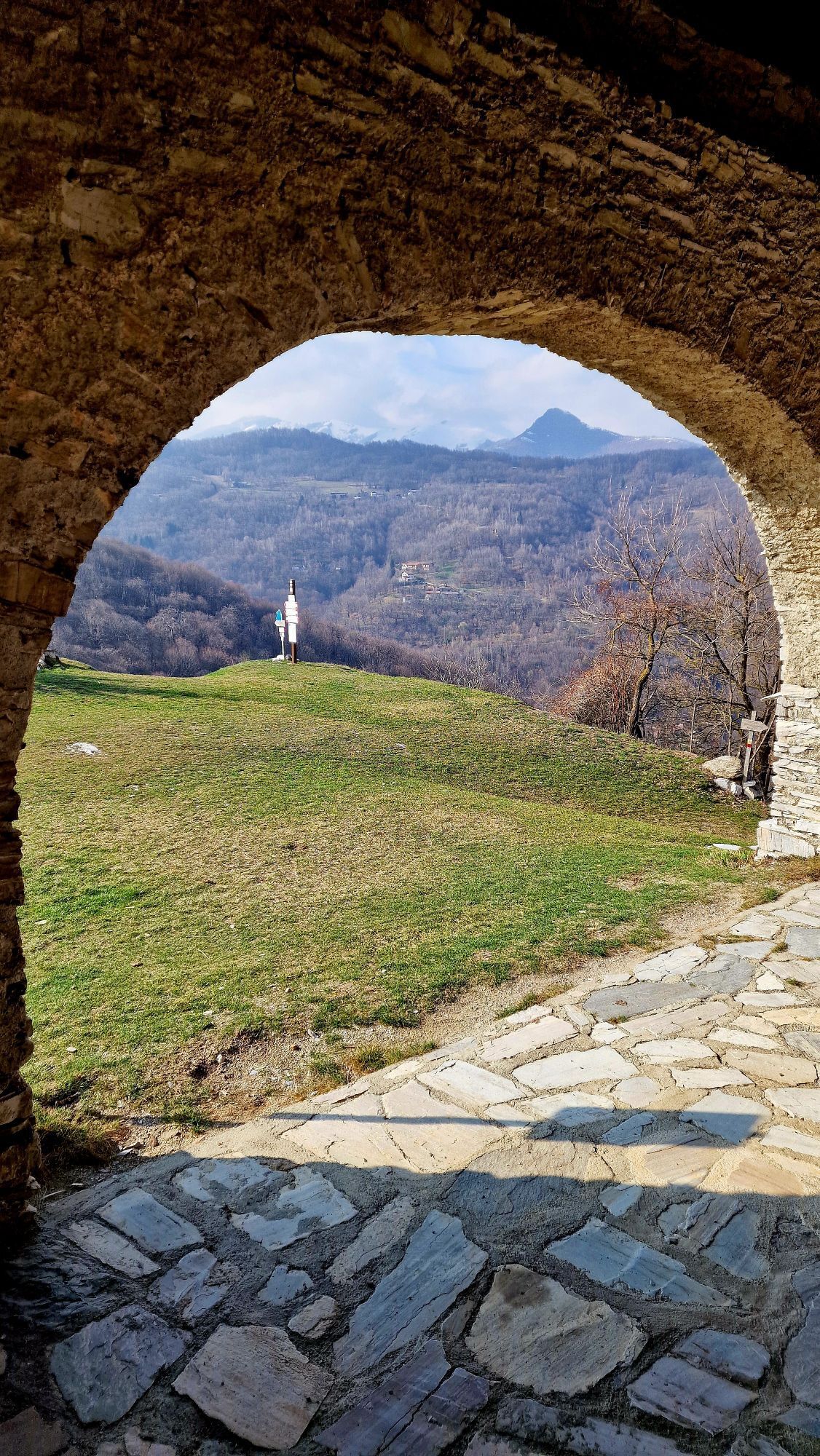
The route is completely marked from the departure of the Cuneo railway station (and alternatively also from Piazza Torino - bus arrival) to the arrival, with white and red trail signs bearing the logo of the Way on metal supports, signs and plates on the hiking poles. Only in the final climb do the colors turn blue and yellow because the route coincides with the already existing traditional path.
The variants are not marked on the ground, therefore it is necessary to download the GPX tracks published on visitstura.it to follow them in complete safety.
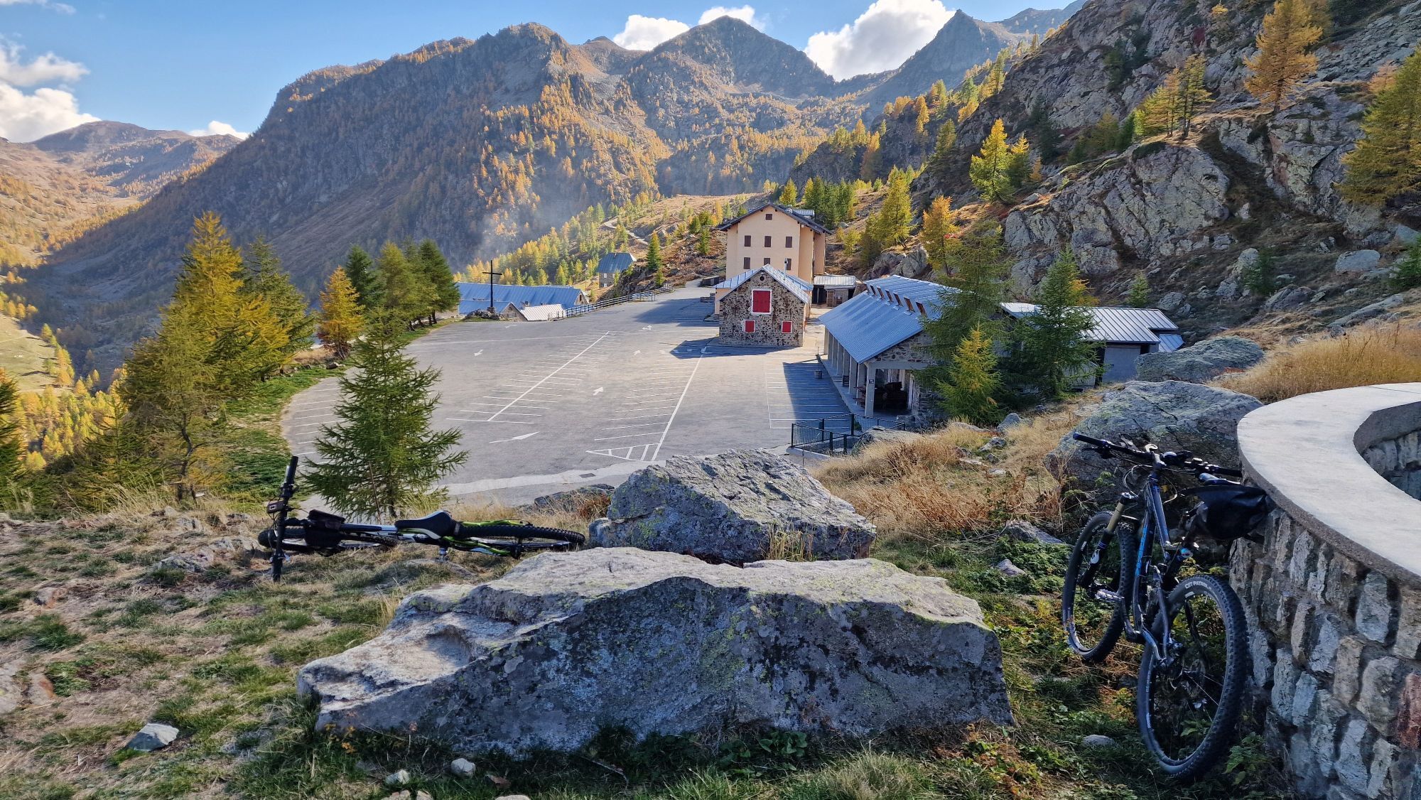
Being a pilgrimage destination, the ecclesiastical complex is equipped with dormitories and a refreshment point.
Popularne wycieczki w okolicy
- 5,0
AVU Alta Via dei Lupi | Stage 8A Lake Brocan - Terme di Valdieri
średniWędrówka 14,3 km Great Crossing of the Alps - South Piedmont
ciężkidługodystansowy szlak pieszy 249,2 kmAlong the roads of champions
ciężkiDroga rowerowa 173,6 kmSan Giacomo di Entracque - Valdieri / Pagarine route (stage 8)
średniWędrówka 19,6 kmRoccasparvera - Cuneo / Pagarine Route (stage 10)
średniWędrówka 15,9 kmAuf den Spuren der alten Forts
średniWędrówka 14,7 km- 4,5
Sant'Anna Valdieri - Gias del Prato - Ex case reali del Chiot - Rifugio Livio Bianco
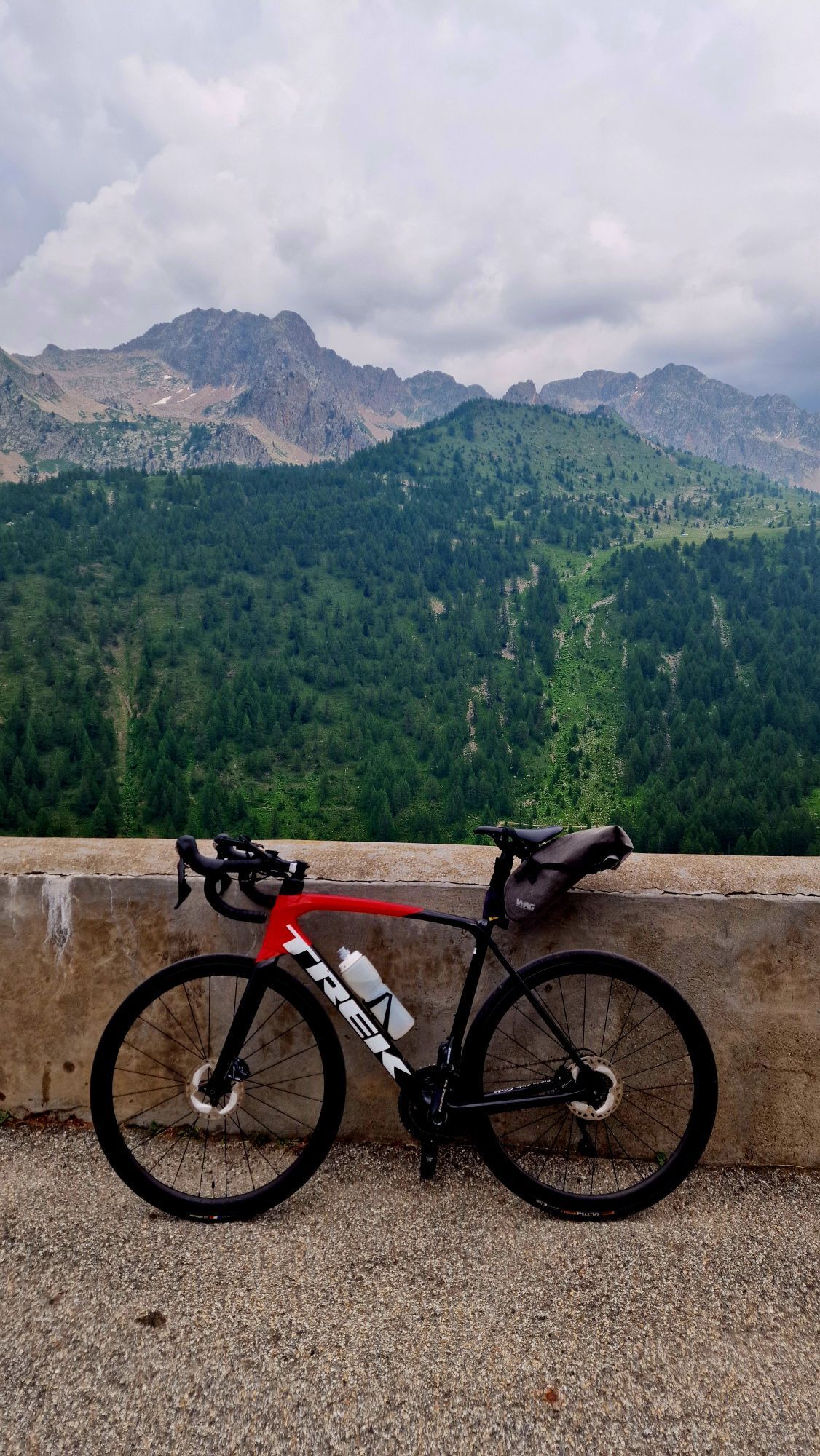
ciężkiWędrówka 15,1 km St. Anne's Way
ciężkiMountainbike 68,4 kmLou Viage: Tappa 14 Rifugio Malinvern - Vinadio
średniWędrówka 16,8 kmLou Viage - The Voyage
średniWędrówka 238,2 km
Wędrówki i tropienie


Nie przegap ofert i inspiracji na następne wakacje
Twój adres e-mail została dodana do listy mailingowej.