


PESSINETTO between Val Grande and Valle Tesso
Poziom trudności: S3
Departure from the square of Pessinetto Fuori, from which you head to the entrance of Val Grande. Instead of following the main valley road, the suggested route touches some characteristic hamlets. You...
Difficulty (MTB): MC/BC. Much of the route is on asphalt or well-trodden dirt forest roads, but the climb to Vrù and the section to Colle San Giacomo require a good workout.
Type: E-Bike / MTB / Cyclotourism
.
Tak
Given the elevation of nearly 1,500 m, always bring a windproof/rainproof jacket. The weather in the Lanzo Valleys can change quickly.
You will find water fountains in all the main villages (Pessinetto, Cantoria, Vrù, Chiaves), so there is no need to load up with excessive liters.
In the summer period due to the presence of herds and grazing animals, pay close attention to tidal dogs and electric wires marking grazing areas.
By Car: From Turin, take the SP2 in the direction of Lanzo Torinese. After passing Lanzo, follow the signs for Val Grande/Ceres to Pessinetto.
By Train (Train+Bike): The SFM1 (Turin-Ceres) line stops directly in Pessinetto. It is the most ecological and convenient solution for those who start the tour directly from the station
.
You can also park near the train station or in the main town square.
S3
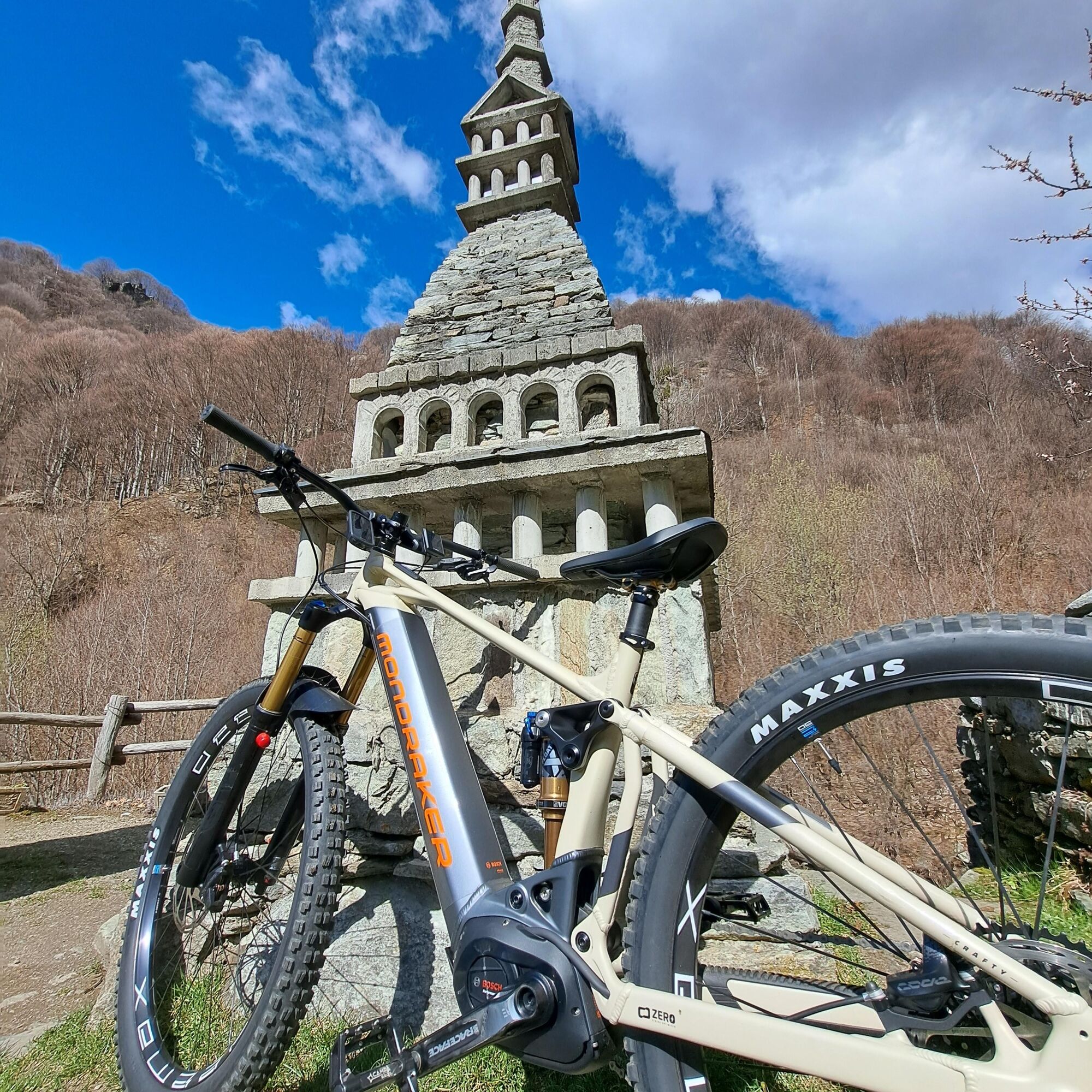
The trail reports a technical variant; at the height of Chiaves instead of continuing the descent on asphalt towards Gisola and Pessinetto Fuori, turn right towards the hamlets Benale and Cresto. From here just before the square that descends to Cernesio, take the dirt road that takes the famous 'Fungolo' trail for enduro enthusiasts (wear the appropriate protections for the descent)
Peculiarities of the hike: The contrast between the alpine architecture of Vrù and the vastness of the views of Chiaves makes this loop one of the most balanced and rewarding in the entire area.
Spectacular tour to do in the fall because of the passage through centuries-old beech forests
Popularne wycieczki w okolicy
CERES Santa Cristina Loop
średniWędrówka 7,84 km- 5,0
BALME Green Lakes and Lago Paschiet
średniWędrówka 7,51 km MONASTEROLO Ca' Bianca and Big Bench
światłoWędrówka 4,13 kmVALLO TORINESE Passo della Croce and the Turu
średniWędrówka 4,29 kmCOLLE DEL LYS Partisan Trail
średniWędrówka 11,6 km- 5,0
LEMIE Ovarda Lakes loop
ciężkiWędrówka 15,9 km ALPETTE Monte Soglio and cima Mares from Balmassa
średniWędrówka 10,9 km- 5,0
ROCCA CANAVESE Madonna della Neve - Bandito Chapel
średniWędrówka 12,4 km VARISELLA The ruins of the Baratonia castle, churches, and pools of Varisella
średniWędrówka 10,1 kmCHIALAMBERTO Sanctuary Madonna del Ciavanis and roc d'le Masche from Vonzo
średniWędrówka 6 km
Wędrówki i tropienie


Nie przegap ofert i inspiracji na następne wakacje
Twój adres e-mail została dodana do listy mailingowej.