






🟢GT.P 18 The Way of the Highlands

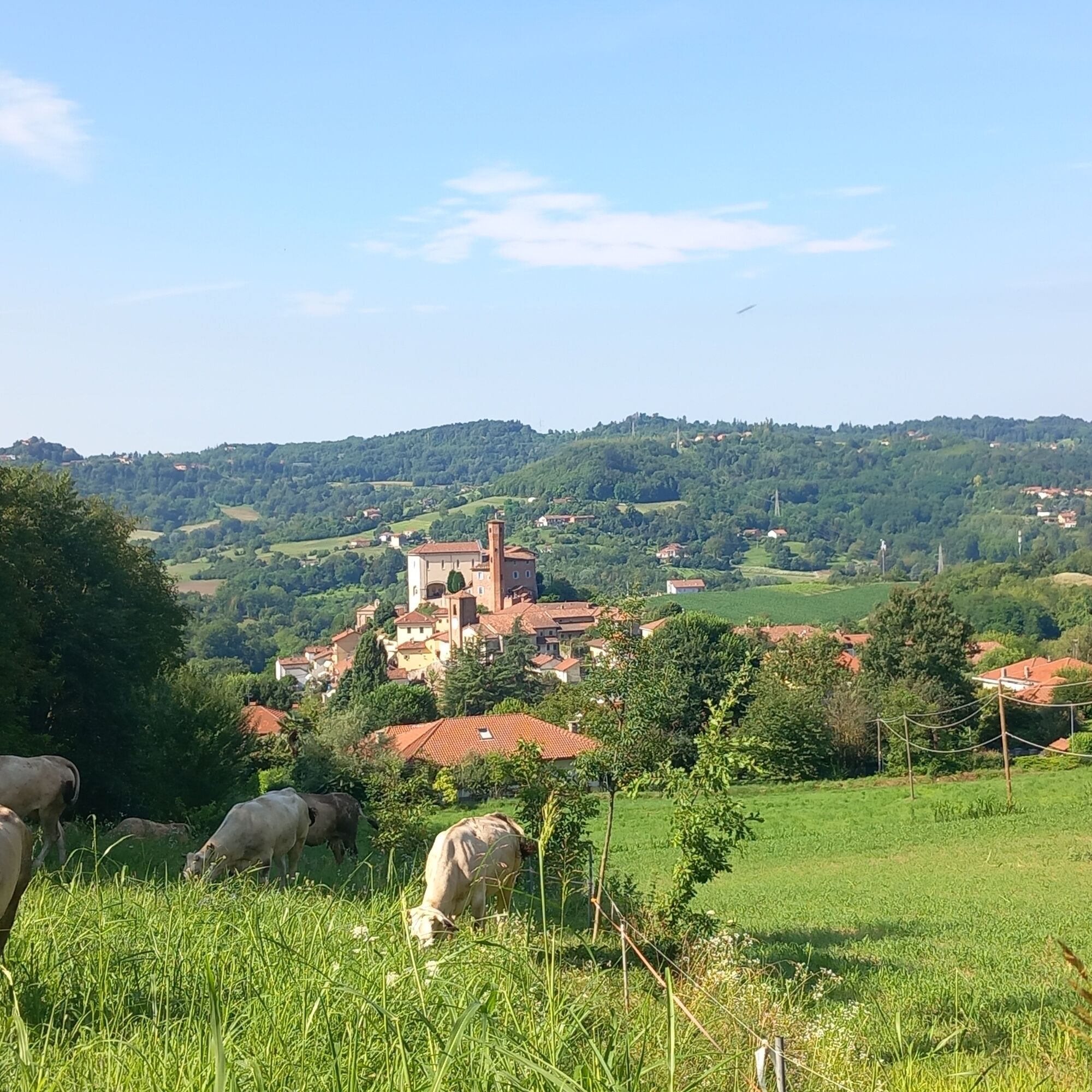
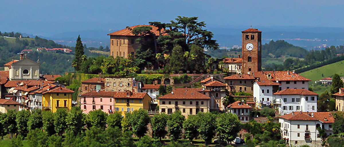
The trail starts from the heart of Rivalba, a village famous for its prized White Truffle. Leaving the center, we enter a green corridor of extraordinary naturalistic value: in fact, the trail skirts the...
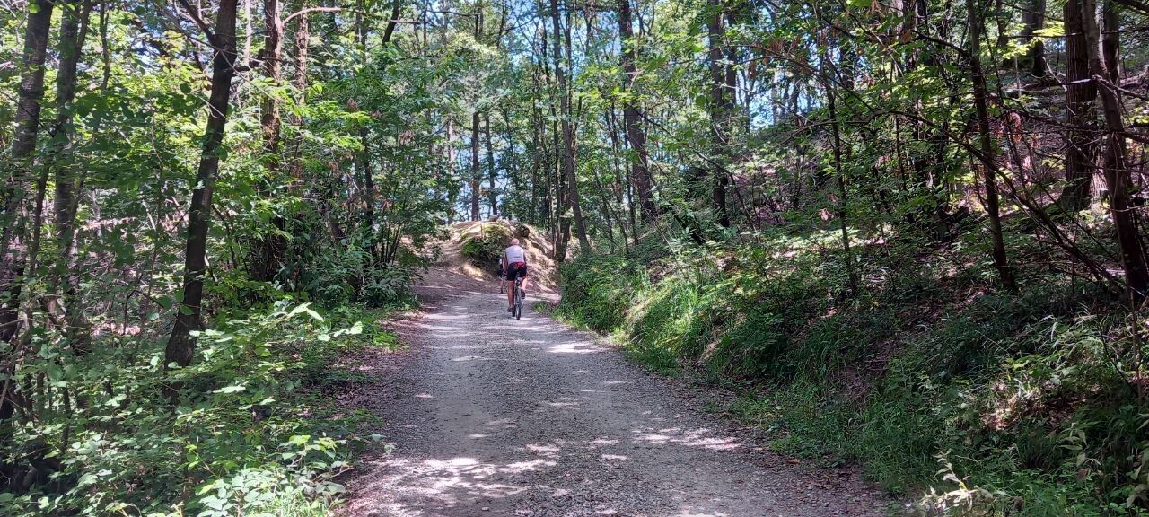
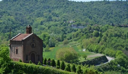
The trail starts from the heart of Rivalba, a village famous for its prized White Truffle. Leaving the center, we enter a green corridor of extraordinary naturalistic value: in fact, the trail skirts the Bosco del Vaj and the Bosc Grand, ancient lungs that preserve a rare biodiversity and an atmosphere suspended in time.
Continuing toward the territory of San Sebastiano da Po, the trail grazes the majestic Villa di San Sebastiano and then heads toward Casalborgone. Here, the arrival in the Borgo Storico offers a regenerating stop among medieval architecture and picturesque views. The return to Rivalba closes the loop by retracing secondary roads and evocative dirt tracks once again immersed in the dense vegetation of the Bosc Grand.
The route partially overlaps with La Via del Romanico (GT.P 14), La Via di Gea (GT.P 15) and La Via dei Boschi (GT.P 16).


Tak
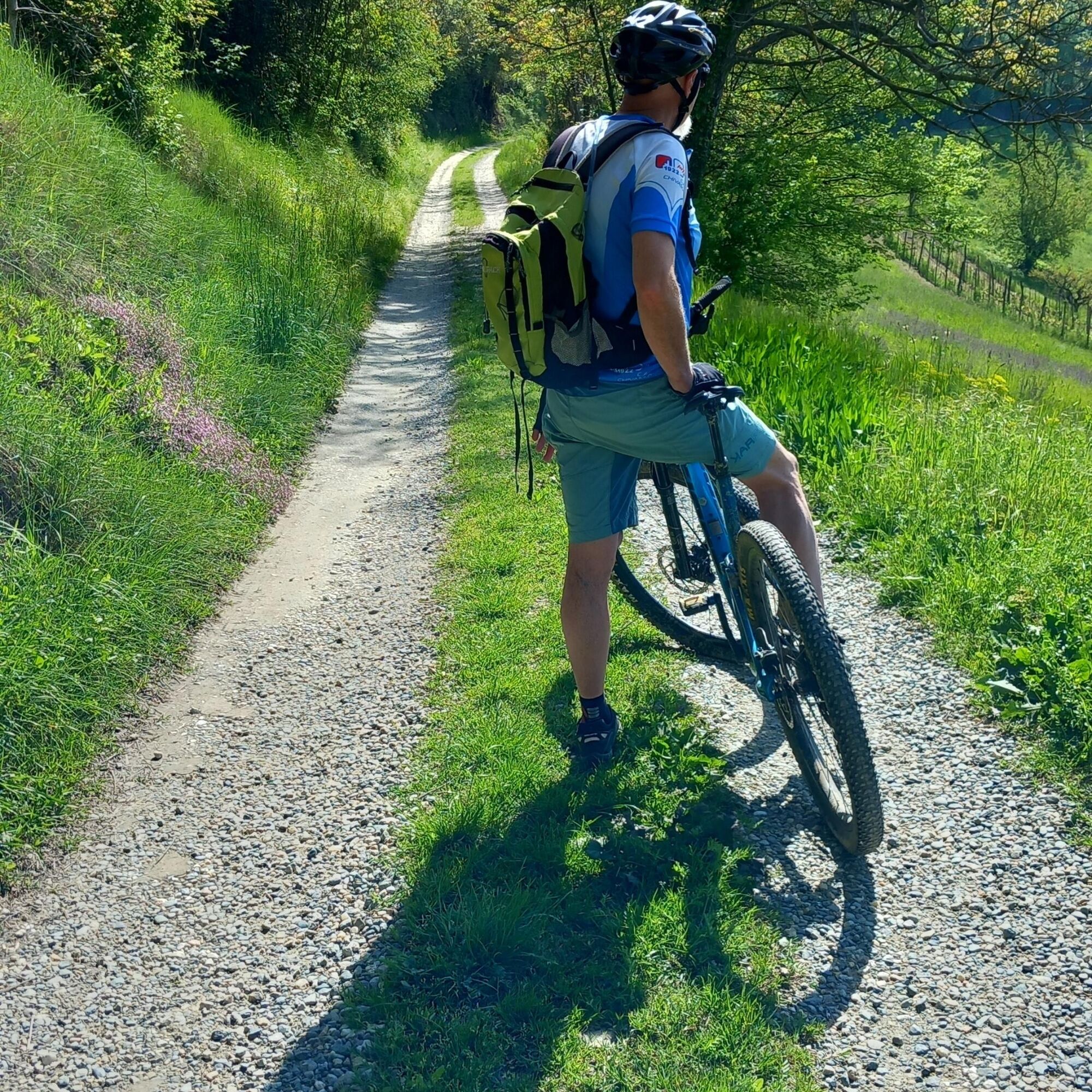
The route is a concentrate of scenic and naturalistic value, but requires commitment: due to significant gradients and technically interesting sections, it is highly recommended for trained cyclists or e-bike users.
Popularne wycieczki w okolicy
CHIERI - Among vineyards, hills and history toward the Abbey of Vezzolano.
średniDroga rowerowa 58,6 kmCHIERI - Ring toward Pavarolo, Montaldo T.se and Andezeno
średniJazda na rowerze 32,9 kmCASALBORGONE - Bosc Grand and Bosco del Vaj by MTB
średniMountainbike 22,6 kmCHIERI - Loop towards Riva presso Chieri
Jazda na rowerze 32,5 kmTURIN - Double loop with 3 adrenaline-pumping MTB descents
ciężkiMountainbike 25,9 kmCycling between Arignano, Moriondo and Mombello
średniKolarstwo długodystansowe 28,1 kmTURIN - MTB loop up to Superga
średniMountainbike 16,6 kmCycle hiking ride between Montaldo, Andezeno and Pavarolo
średniMountainbike 21,2 kmCHIVASSO Loop Chivasso - San Giorgio Canavese
średniKolarstwo długodystansowe 53,2 km- 4,0
San Mauro - Superga
średniWędrówka 3,71 km
Wędrówki i tropienie


Nie przegap ofert i inspiracji na następne wakacje
Twój adres e-mail została dodana do listy mailingowej.





