


LANZO TORINESE Monte Turu
Poziom trudności: S2
Starting point: Lanzo T.se
AVAILABILITY: all year round.
DURATION: 3h.
ROUTE: asphalt and dirt (typically mountain paths on white roads)
Difficulty: medium
Program:
Departure from Lanzo heading towards...
Starting point: Lanzo T.se
AVAILABILITY: all year round.
DURATION: 3h.
ROUTE: asphalt and dirt (typically mountain paths on white roads)
Difficulty: medium
Program:
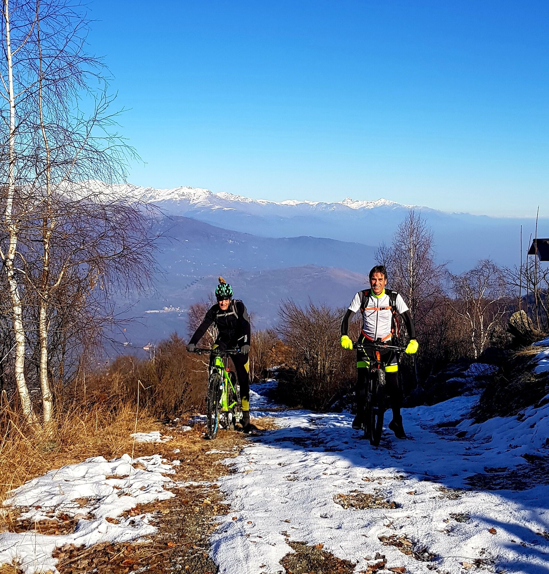
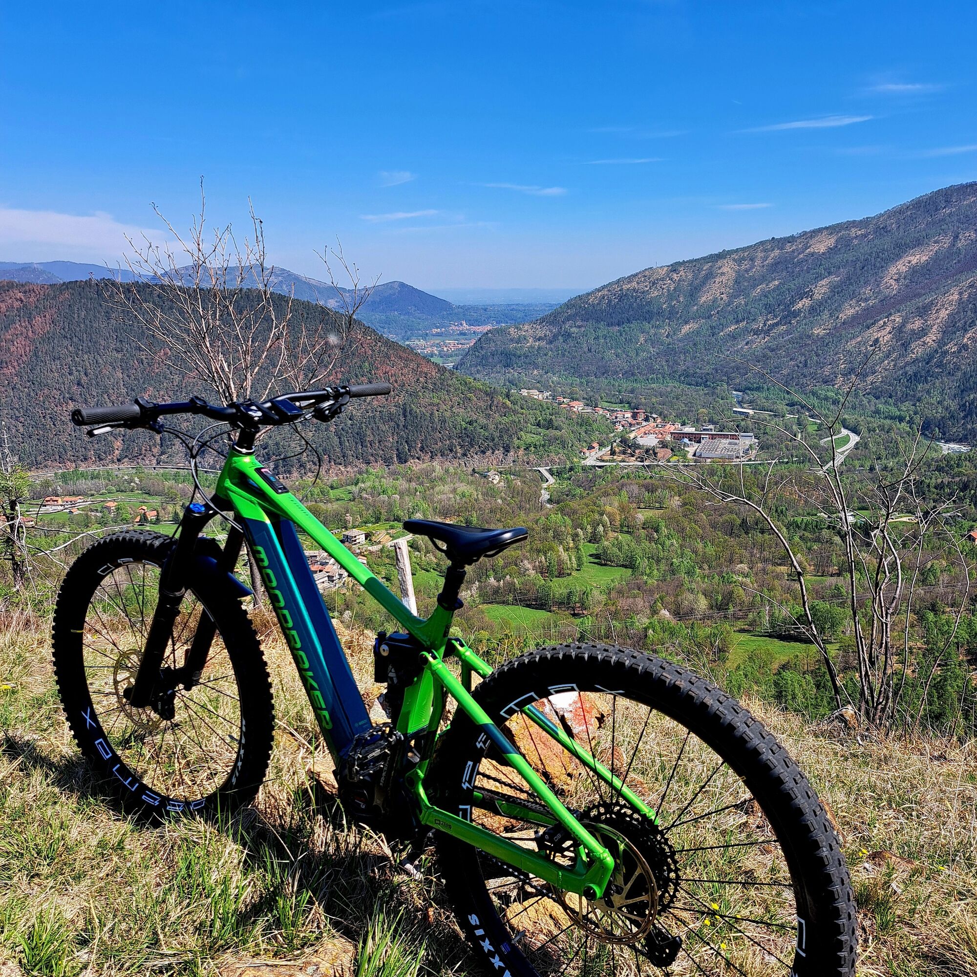
Departure from Lanzo heading towards Germagnano; take the direction towards Val di Viù. Passing through the Castagnole hamlet and from here we leave the asphalt to continue only on dirt road up to the summit. Before reaching the panoramic point located at the top of Monte Turu, a possible variant towards Passo della Croce (panoramic point).
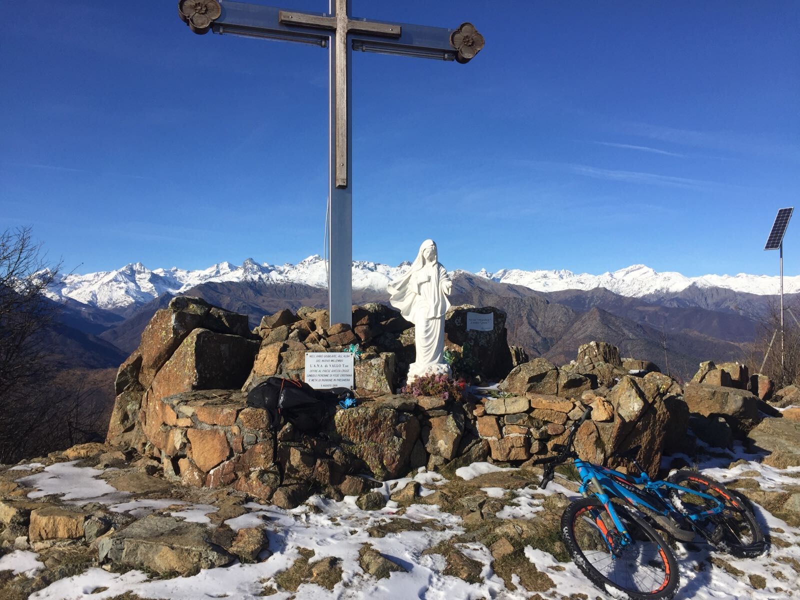
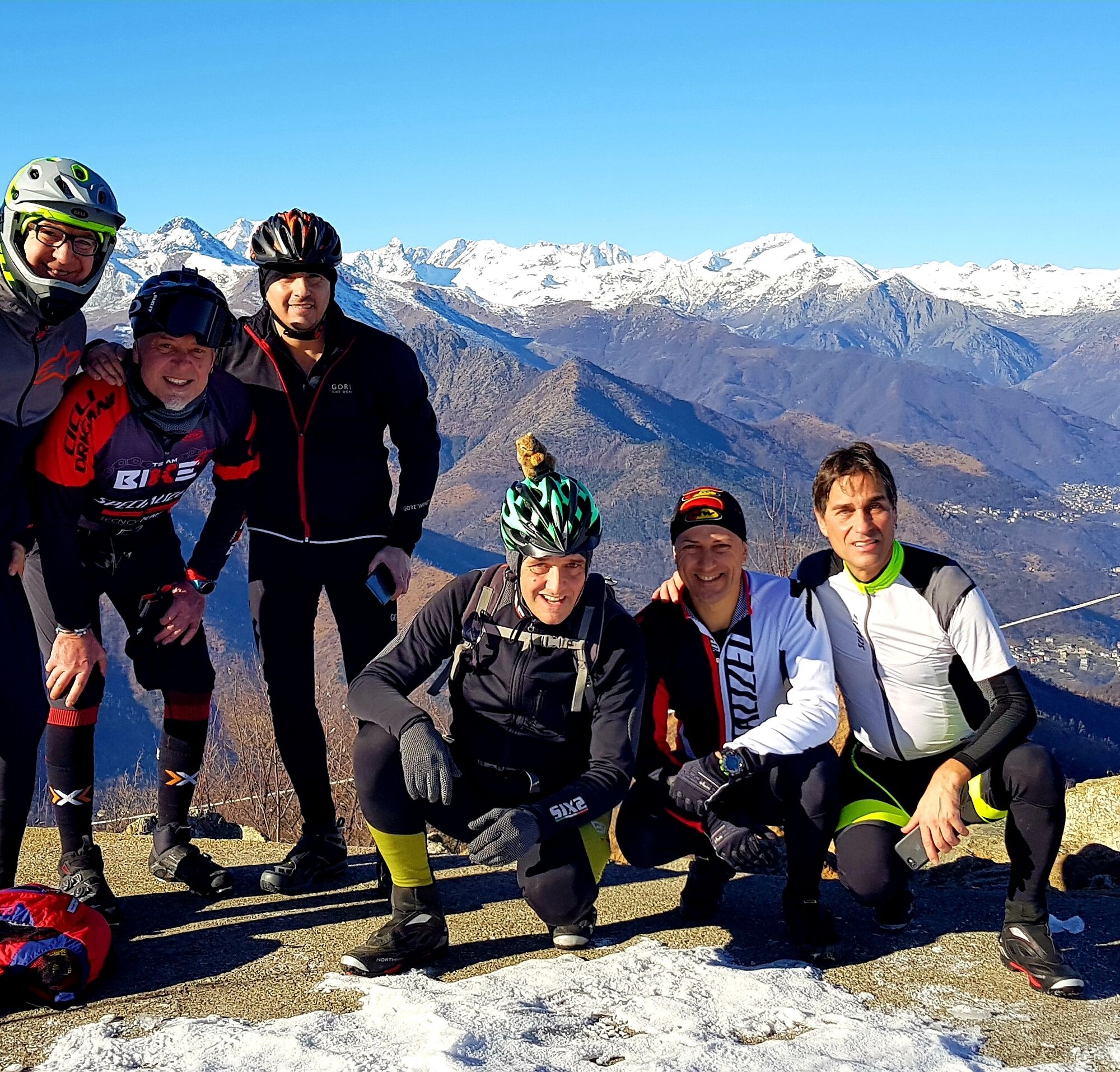
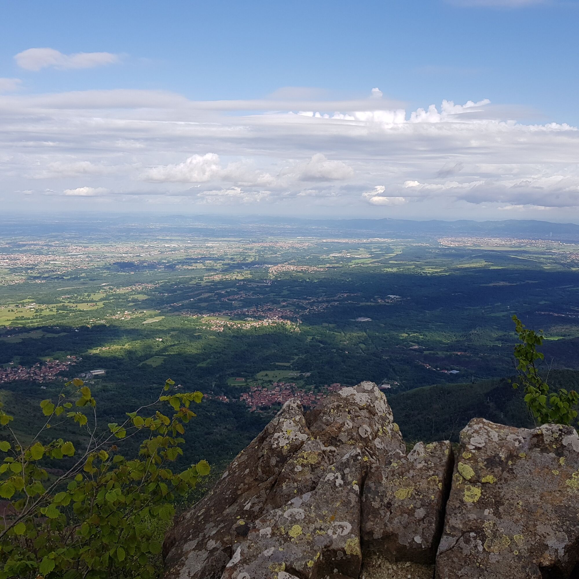
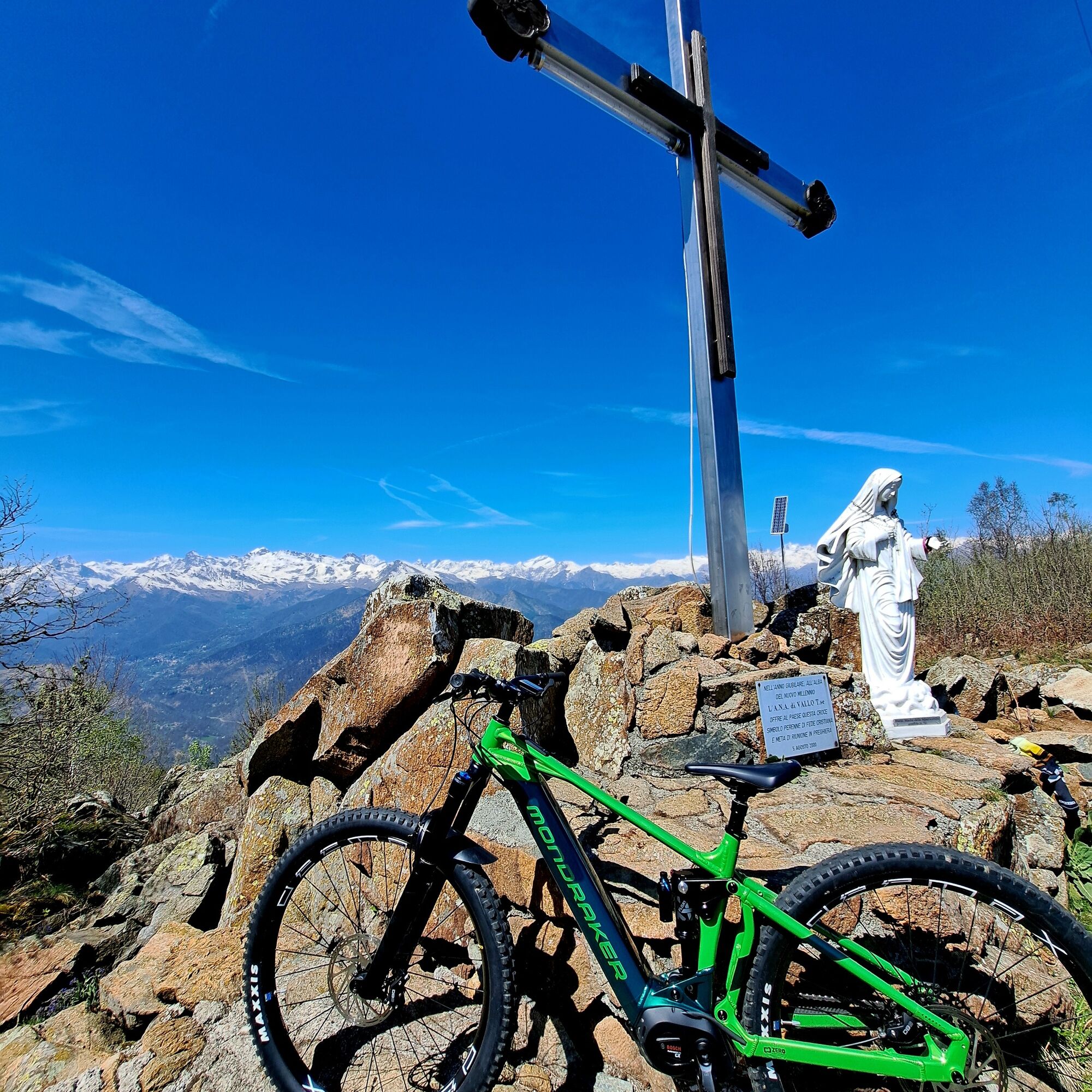
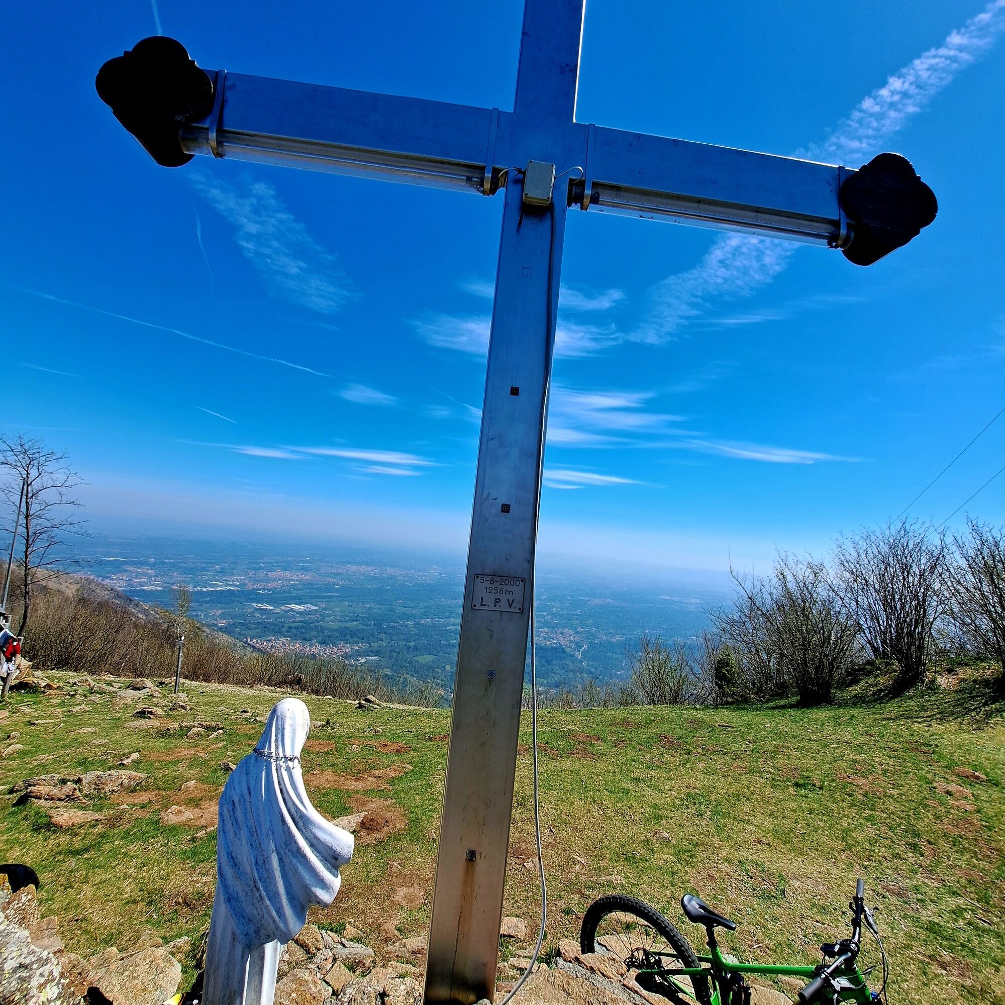
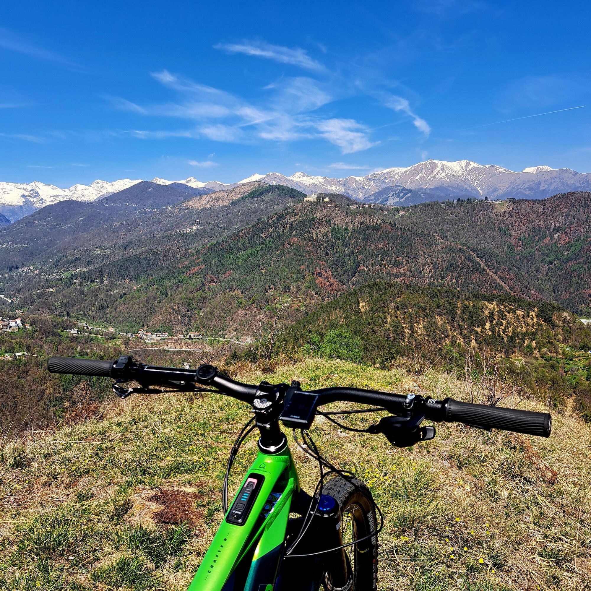
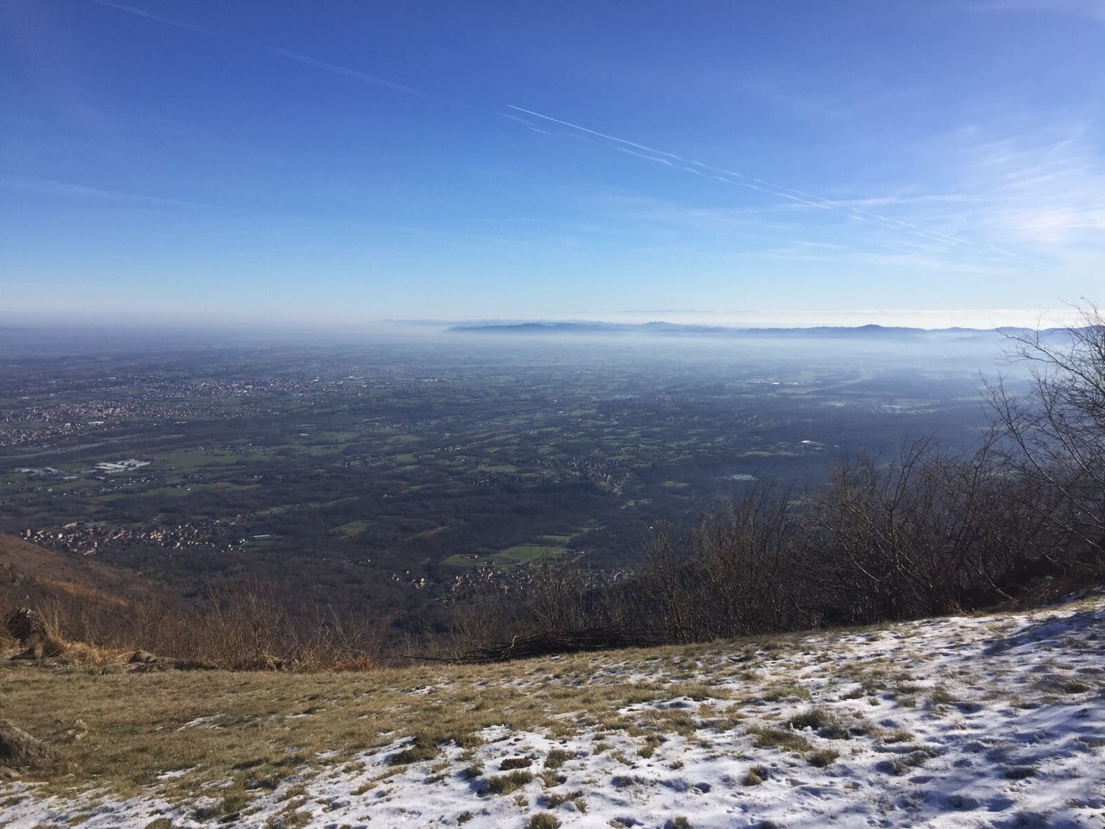
The top of Monte Turu is characterized by the presence of a radio antenna and a panoramic platform that offers an almost 360° view.
Breathtaking view of the plain below and the mountains of the Lanzo valleys behind.
Possible more enduro-style downhill variants to be agreed upon and planned on request.
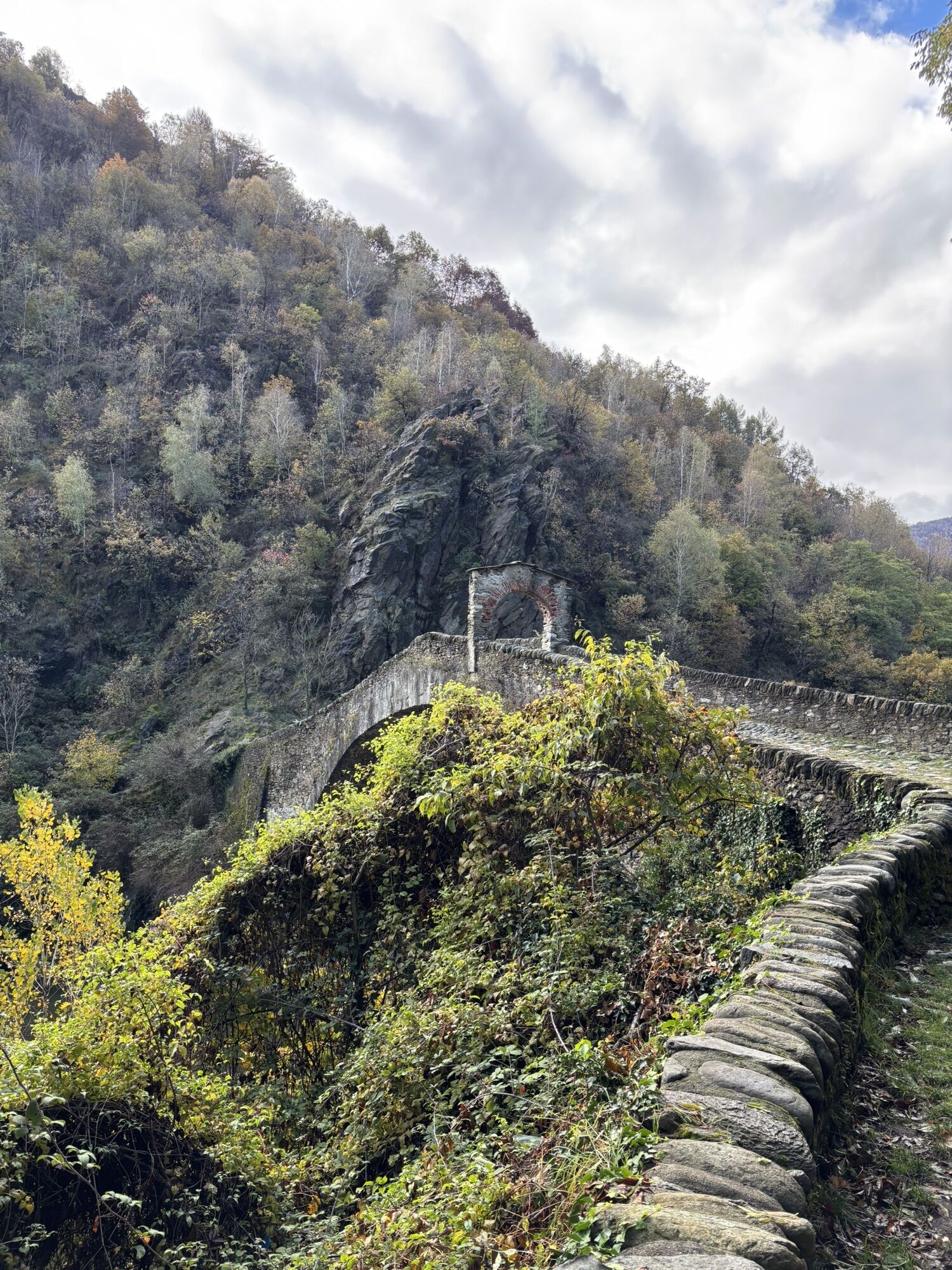
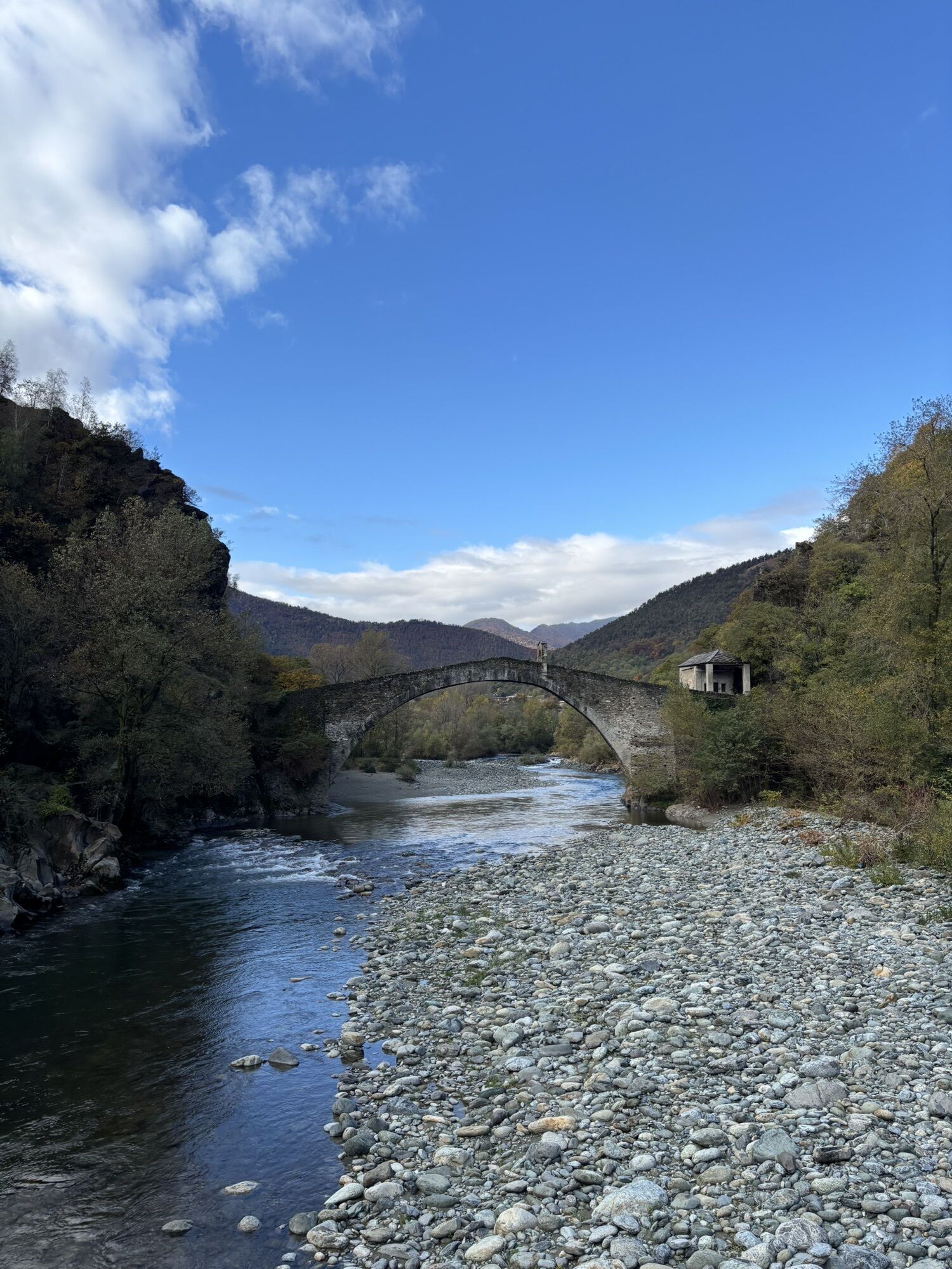
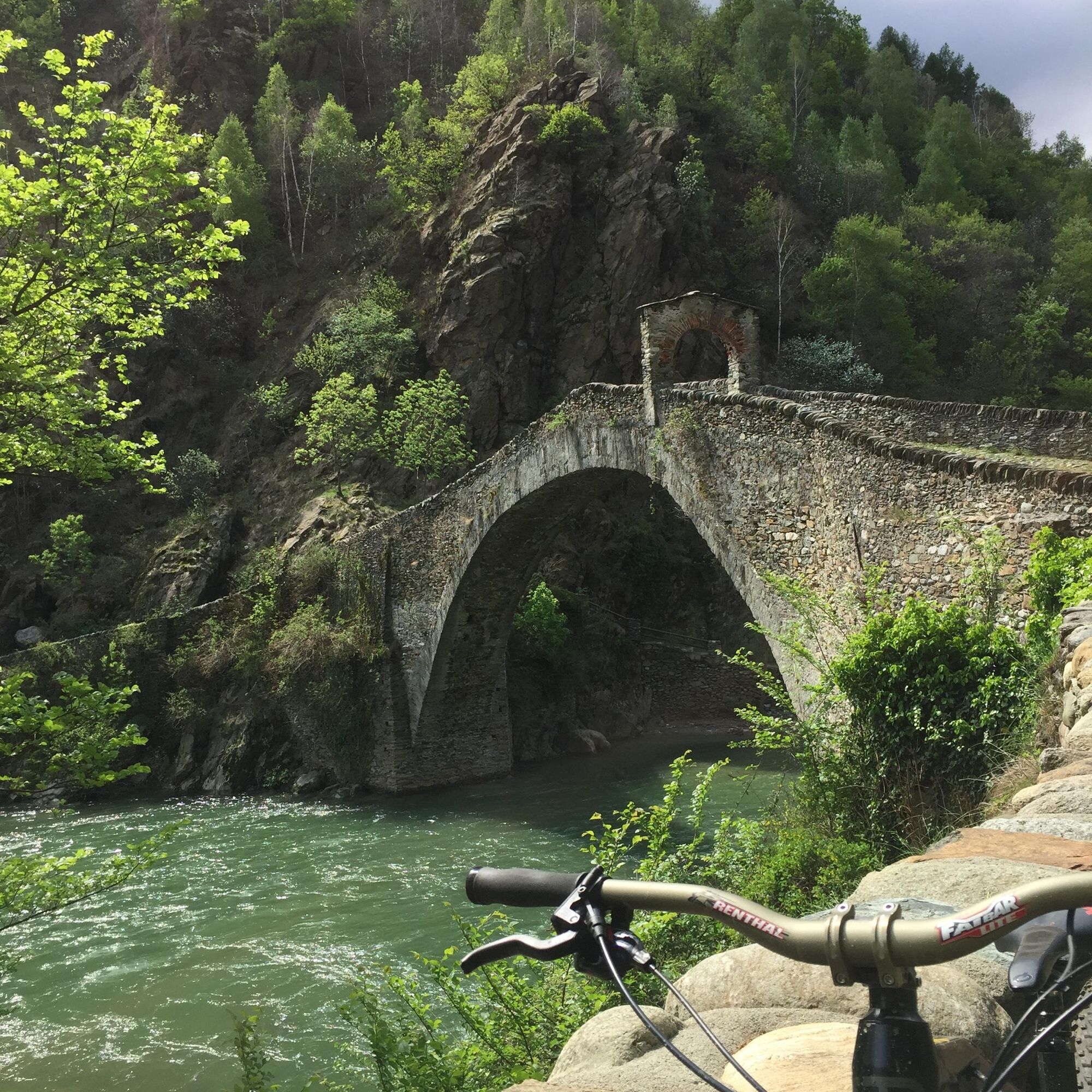
On the return to the town of Lanzo, a route to admire the historical and cultural beauties that the village offers is recommended.
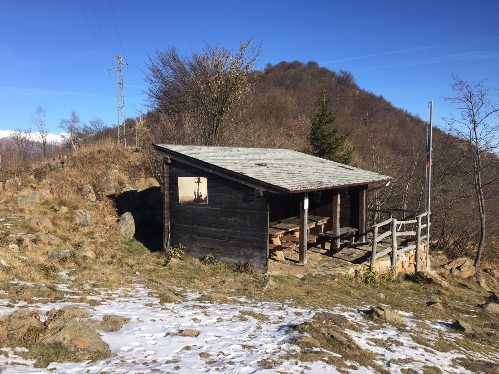
Refer to the GPX track
Tak
Tak
If necessary, in addition to the e-bike, we can provide a helmet (sanitized) upon request and while supplies last. We recommend using gloves and shorts with a gel pad.
Our e-bikes are suitable for everyone; if you are shorter than 150 cm, it is recommended to check your inseam height (the measurement from the ground to the ischial tuberosity), which should not be less than 70 cm. Appropriate sportswear for the event and 0.5l of water are required.
Renting an MTB guide is recommended to enjoy a more immersive experience.
You will ride mountain trails; good MTB riding skills are required.
S2
Choosing a windy day can provide greater depth to the panorama over the Valley.
A route in Lanzo on the return is recommended to enjoy the historical, cultural, and architectural beauties.
Popularne wycieczki w okolicy
-
CERES Santa Cristina Loop
średniWędrówka 7,84 km -
MONASTEROLO Ca' Bianca and Big Bench
światłoWędrówka 4,13 km -
5,0
LEMIE Ovarda Lakes loop
ciężkiWędrówka 15,9 km -
VALLO TORINESE Passo della Croce and the Turu
średniWędrówka 4,29 km -
COLLE DEL LYS Partisan Trail
średniWędrówka 11,6 km -
GIVOLETTO Madonna della Neve on Monte Lera
średniWędrówka 6,11 km -
5,0
ROCCA CANAVESE Madonna della Neve - Bandito Chapel
średniWędrówka 12,4 km -
VARISELLA The ruins of the Baratonia castle, churches, and pools of Varisella
średniWędrówka 10,1 km -
CHIALAMBERTO Sanctuary Madonna del Ciavanis and roc d'le Masche from Vonzo
średniWędrówka 6 km -
VIU' Lake Viana from Alpe Bianca
średniWędrówka 5,56 km

Wędrówki i tropienie


Nie przegap ofert i inspiracji na następne wakacje
Twój adres e-mail została dodana do listy mailingowej.