







Tour of the refuges of Val Pellice

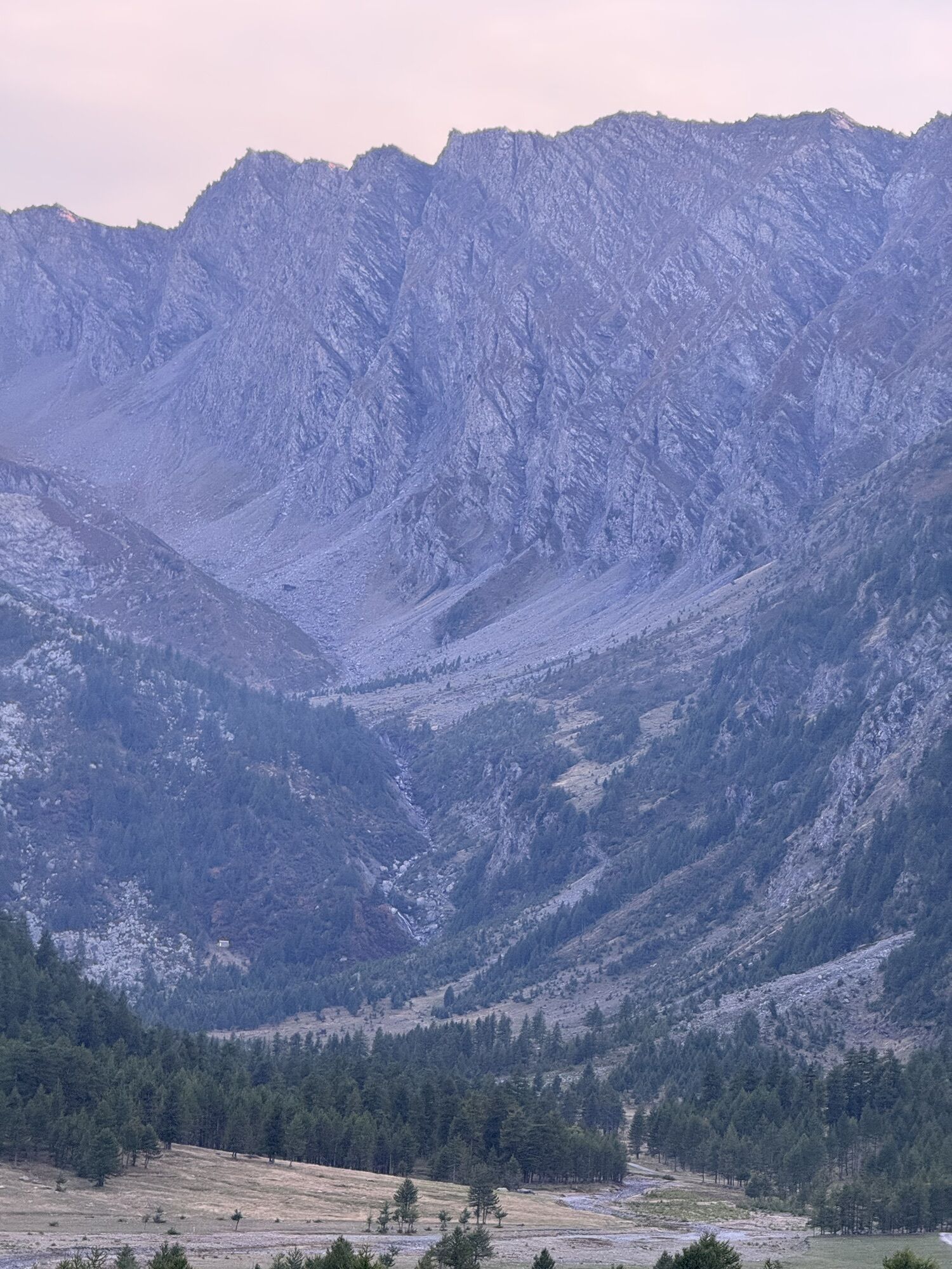
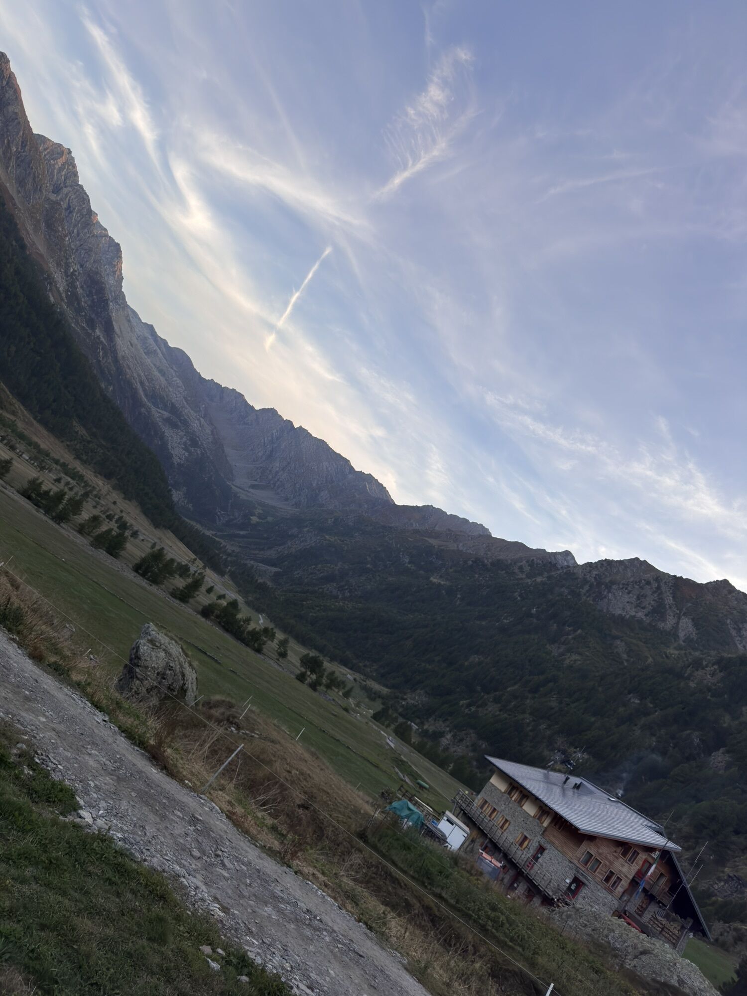
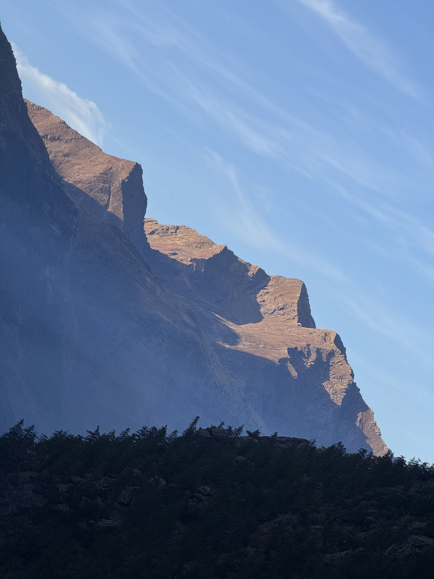
Leaving Bobbio Pellice, cross the Comba dei Carbonieri, a narrow and deep valley whose name tells us that it was a coal production site: Its slopes are covered with wonderful larch woods and on the bottom...
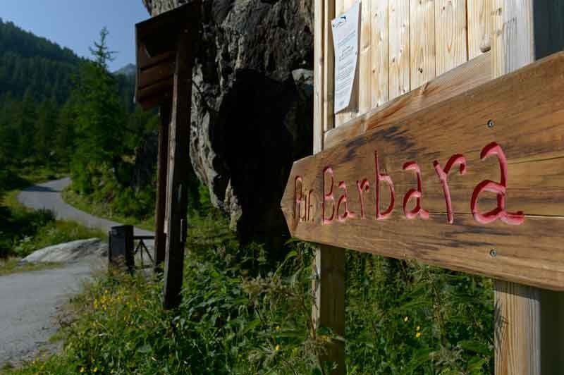
Leaving Bobbio Pellice, cross the Comba dei Carbonieri, a narrow and deep valley whose name tells us that it was a coal production site: Its slopes are covered with wonderful larch woods and on the bottom flows the stream Guichard that near the confluence with the Pellice offers some small natural pools surrounded by huge boulders, ideal for a refreshing dip. At high altitude the pastures produce the excellent tome of Bobbio. At the end of the paved road you arrive at the Rifugio Barbara Lowrie (1,753 m) and from here begins the dirt road to the Rifugio Barant (2,373 m), path with beautiful views.The descent leads first to the Peyronel Botanical Garden and finally to the Willy Jerwis Refuge (1,732 m) in the Pra Basin, then to the Pis Waterfall from the jump of about 60 meters and in the small cluster of houses of Villanova, and then back to the square in Bobbio Pellice.The first stretch of 9 km to the Rifugio Barbara Lowrie (1753 m.), with its 1045 meters of elevation gain develops on a continuous climb with an average gradient of more than 10% and with several points over 20%. For its characteristics it is reviewed as one of the hardest climbs in Italy. Every year on this climb there is a hill climb.


 Uzyskaj wgląd
Zawsze na żywo z ponad 9 500 kamer internetowych. bergfex Jako użytkownik Pro, możesz teraz zobaczyć odpowiednie kamery internetowe dla wielu wycieczek w aplikacji wycieczki od. Pozwala to na bezpośredni podgląd aktualnych warunków.
Uzyskaj wgląd
Zawsze na żywo z ponad 9 500 kamer internetowych. bergfex Jako użytkownik Pro, możesz teraz zobaczyć odpowiednie kamery internetowe dla wielu wycieczek w aplikacji wycieczki od. Pozwala to na bezpośredni podgląd aktualnych warunków.
Popularne wycieczki w okolicy
-
Gran Tour del Monviso
średniWędrówka 57,1 km -
5,0
BOBBIO PELLICE Upslowtour - Ring 2 of the refuges
ciężkiJazda na rowerze 37,6 km -
5,0
04 Monviso Ring. Rifugio du Viso - Rifugio Alevè . Pontechianale, Piemont/Italien
światłoWędrówka 13,3 km -
5,0
Rifugio Quintino sella - monte Monviso
średniWspinaczka 9,13 km -
5,0
Invincibles valley - Alpe Caugis
Wędrówka 15,3 km -
BOBBIO PELICE Trekking in the hamlets and forests around Bobbio
średniWędrówka 7,72 km -
5,0
BOBBIO PELLICE Climb to the Barbara Lowrie Refuge
ciężkiDroga rowerowa 9,19 km -
TORRE PELLICE The Shepherds' Way
światłoMountainbike 11,0 km -
TORRE PELLICE Naturalistic trail "The Jay"
światłoWędrówka 10,2 km -
VILLAR PELLICE Inverso path
światłoWędrówka 5,62 km
Wędrówki i tropienie


Nie przegap ofert i inspiracji na następne wakacje
Twój adres e-mail została dodana do listy mailingowej.





