







Outdoor between Cuneo and Turin among landscapes, forts, and alpine paths

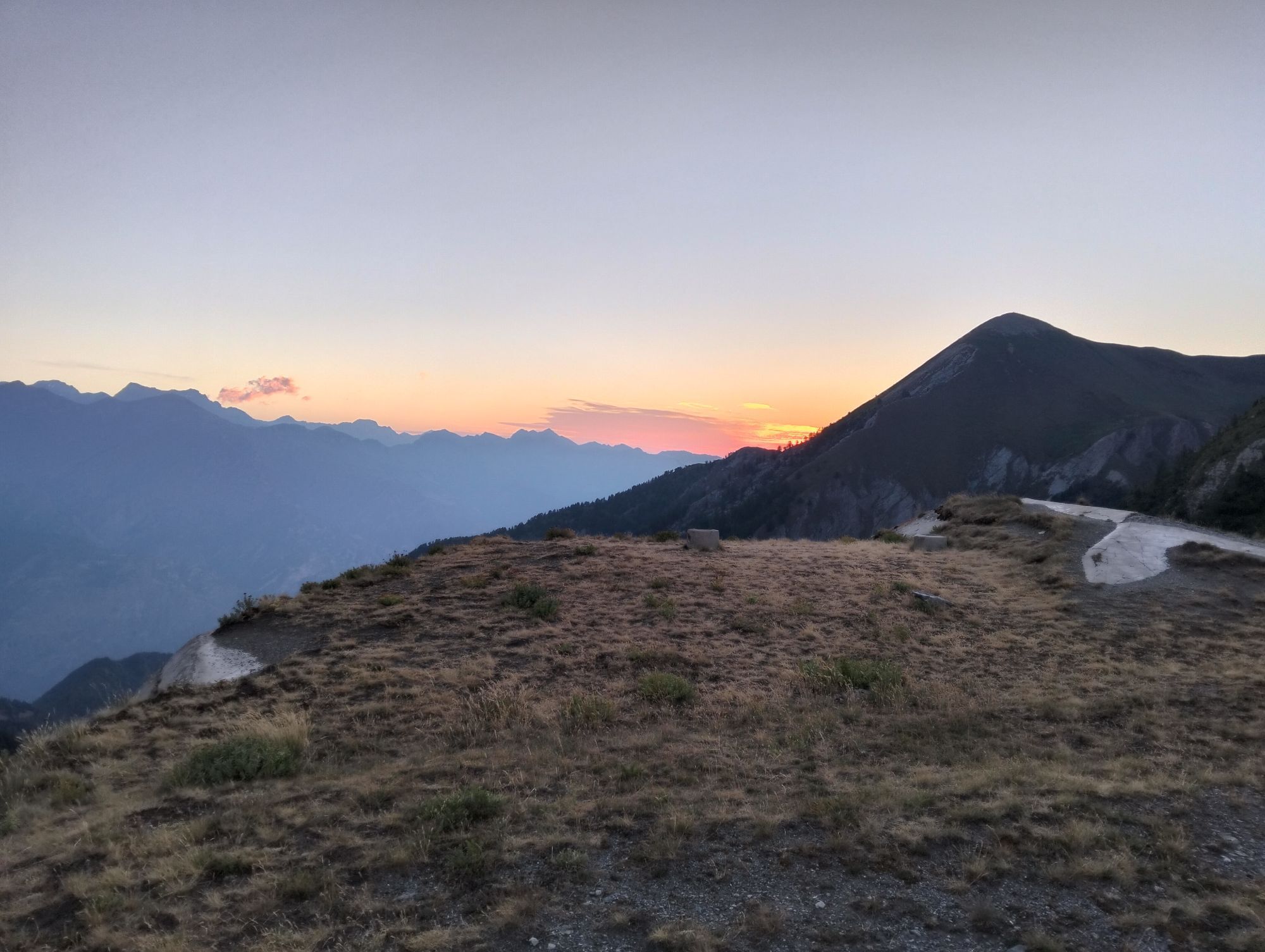
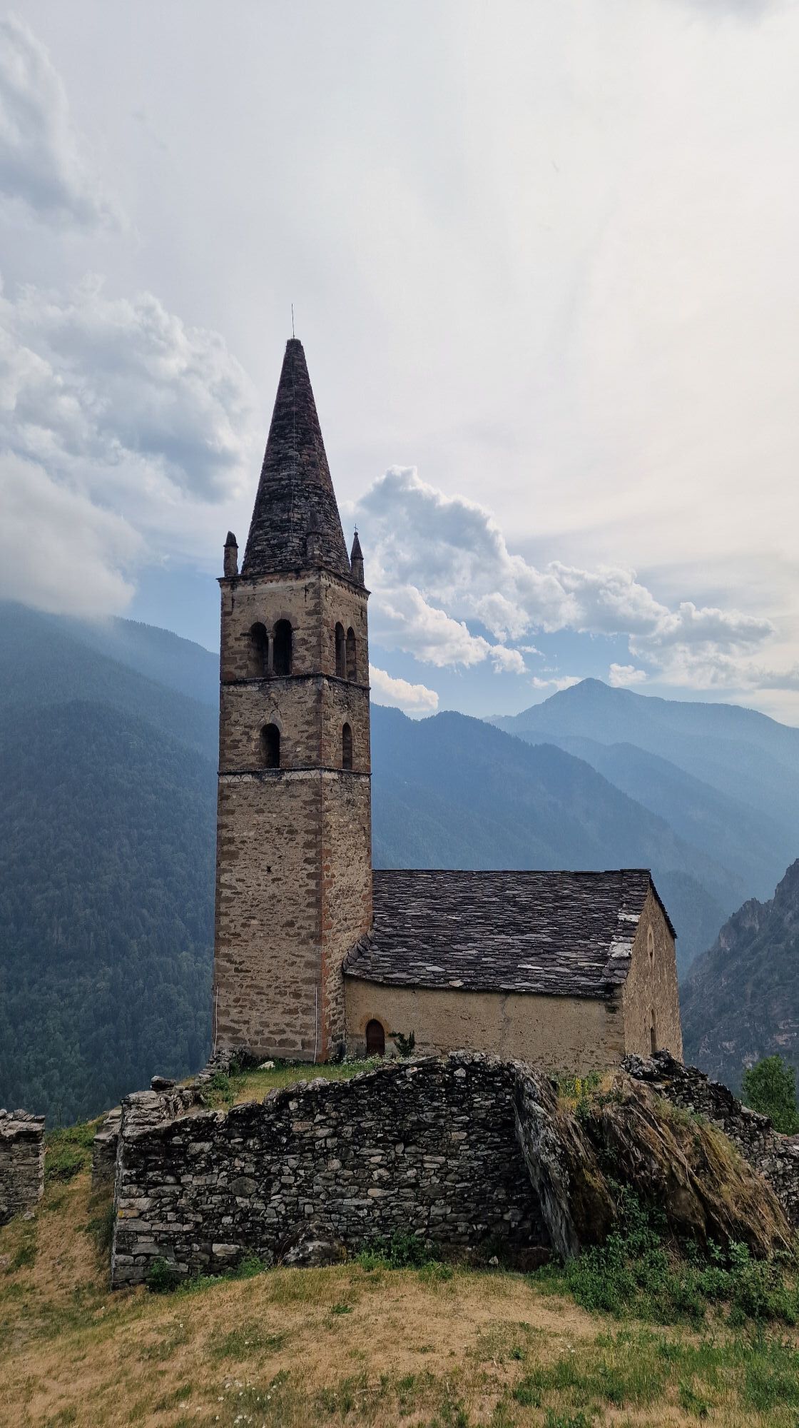
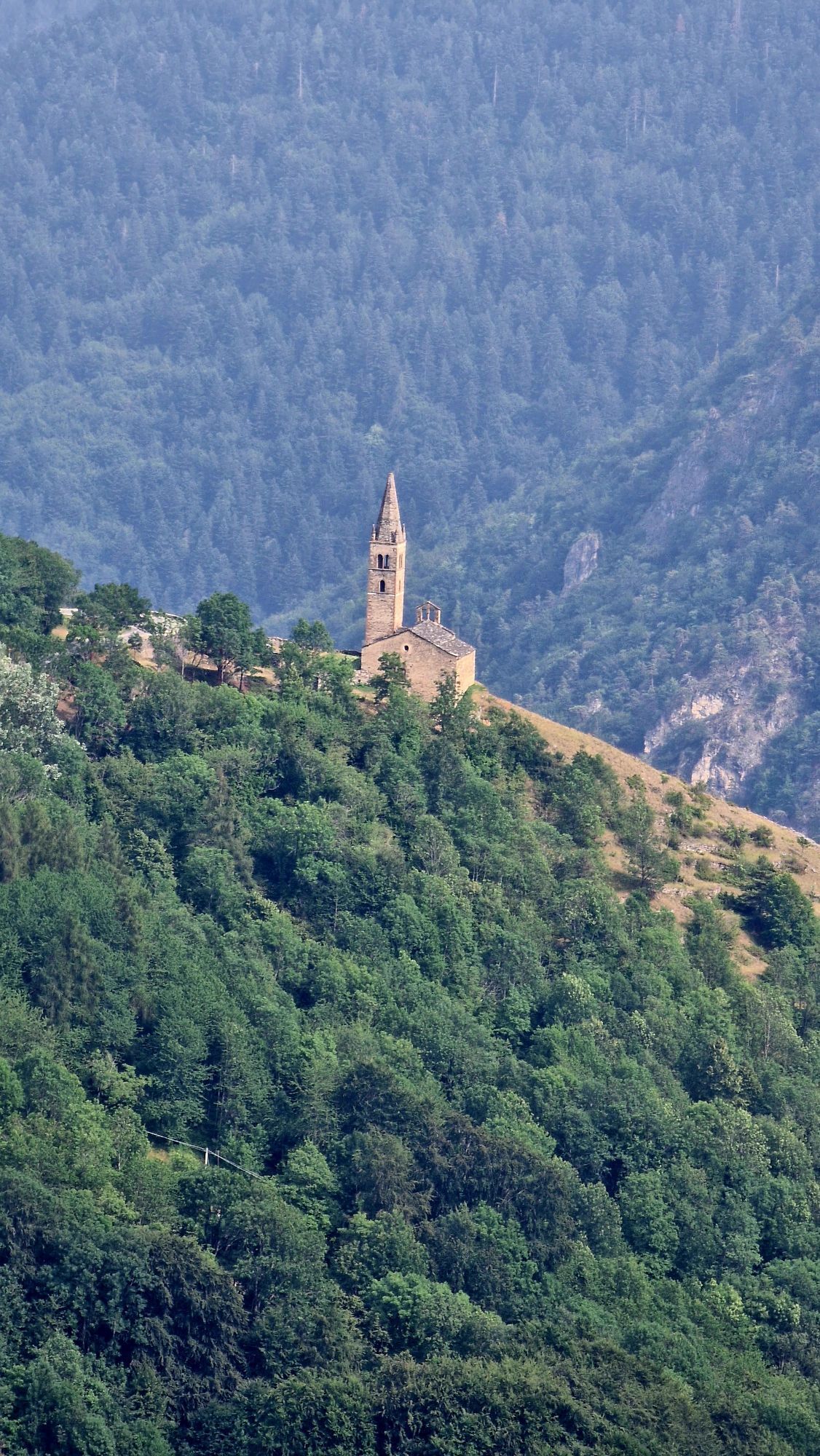

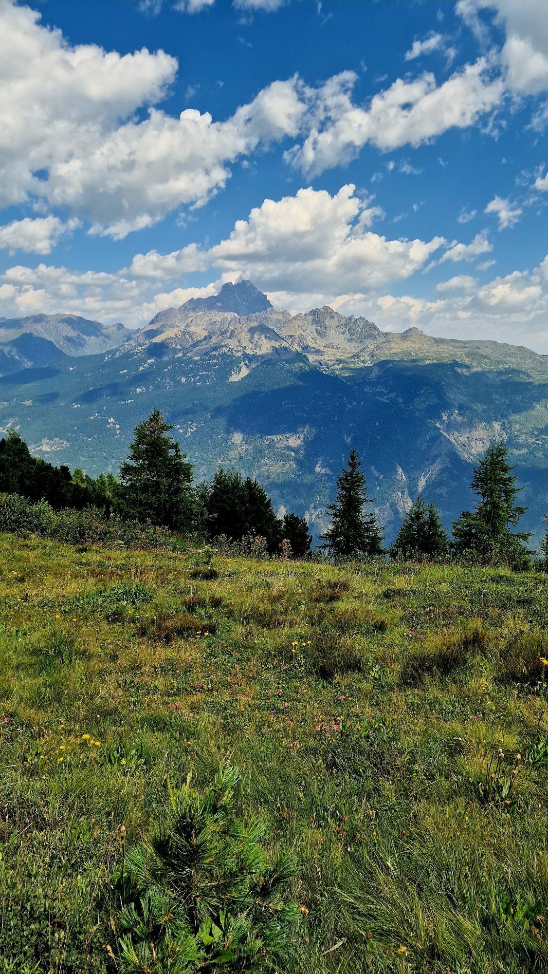
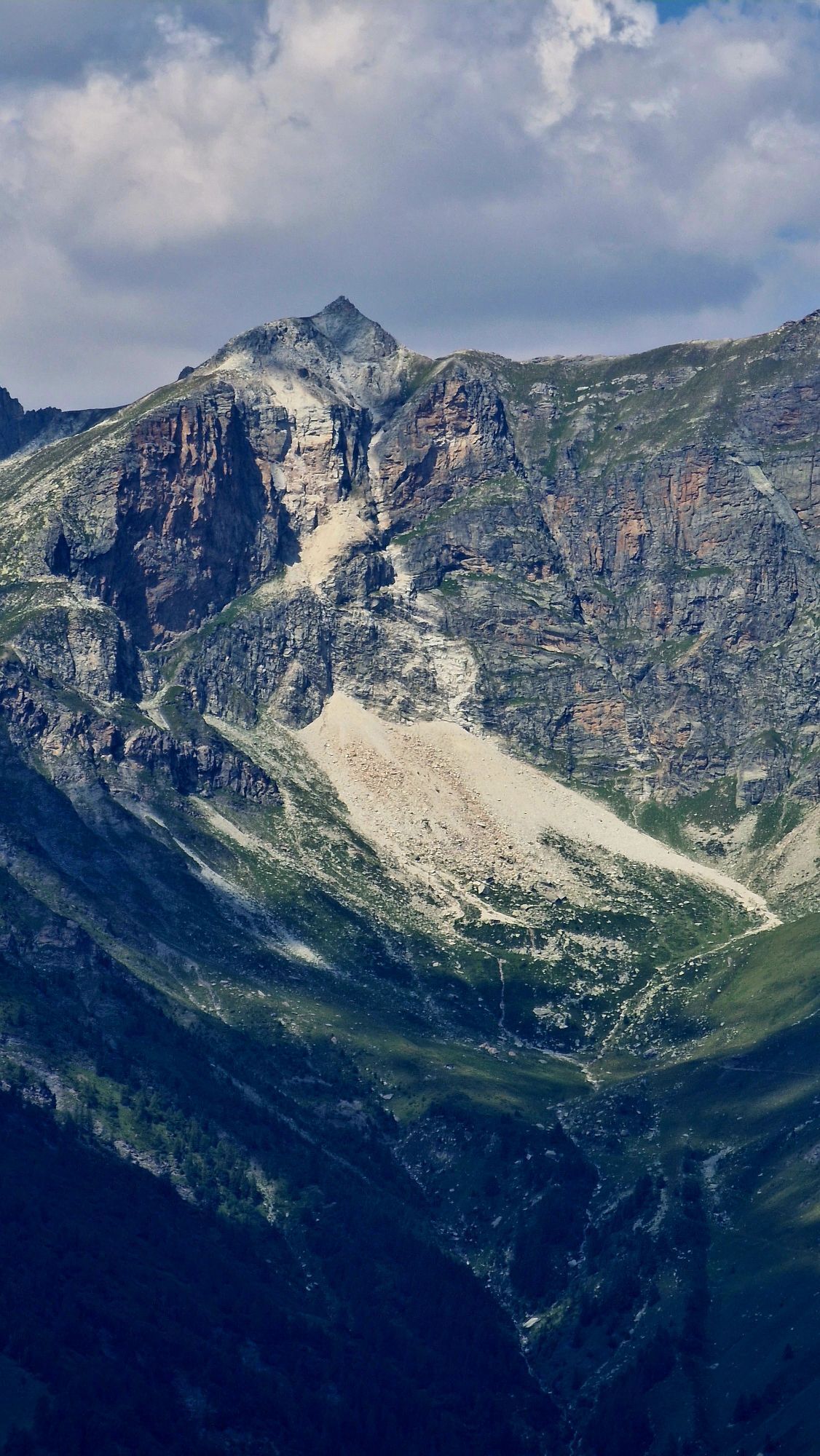
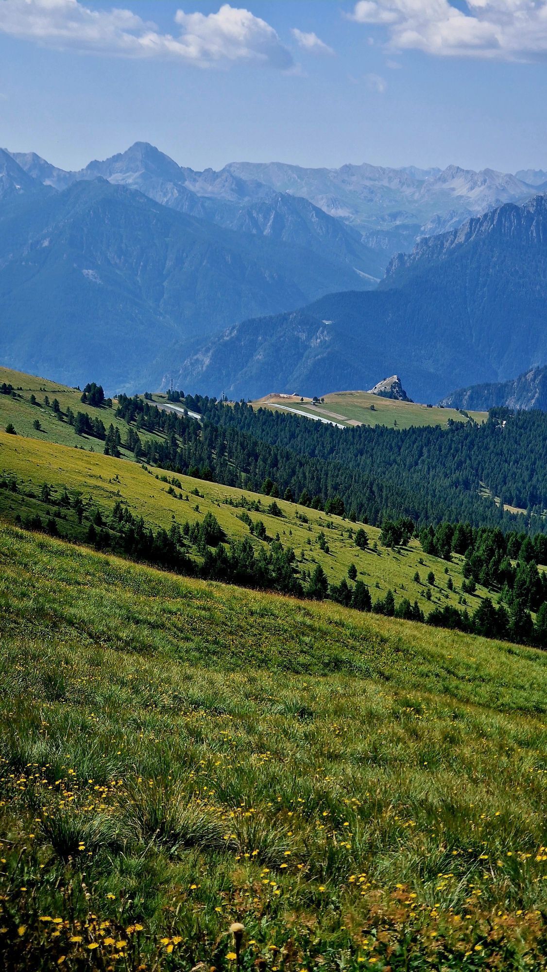
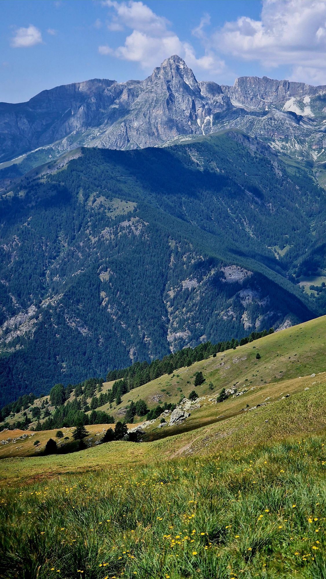
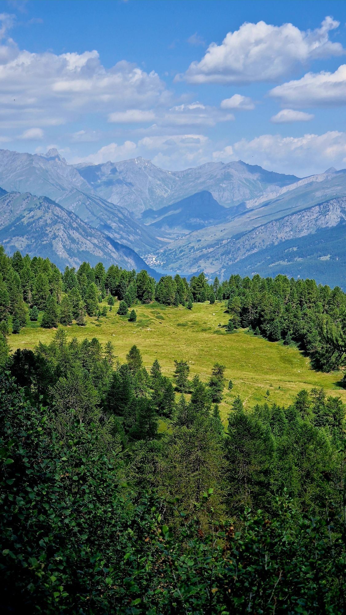
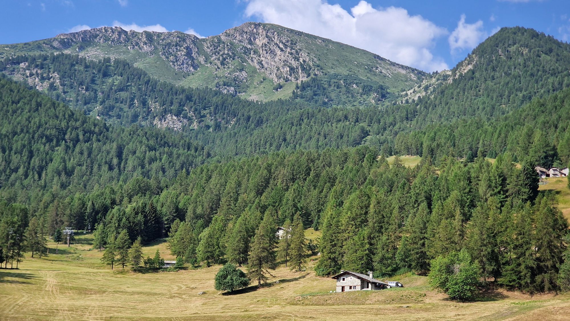
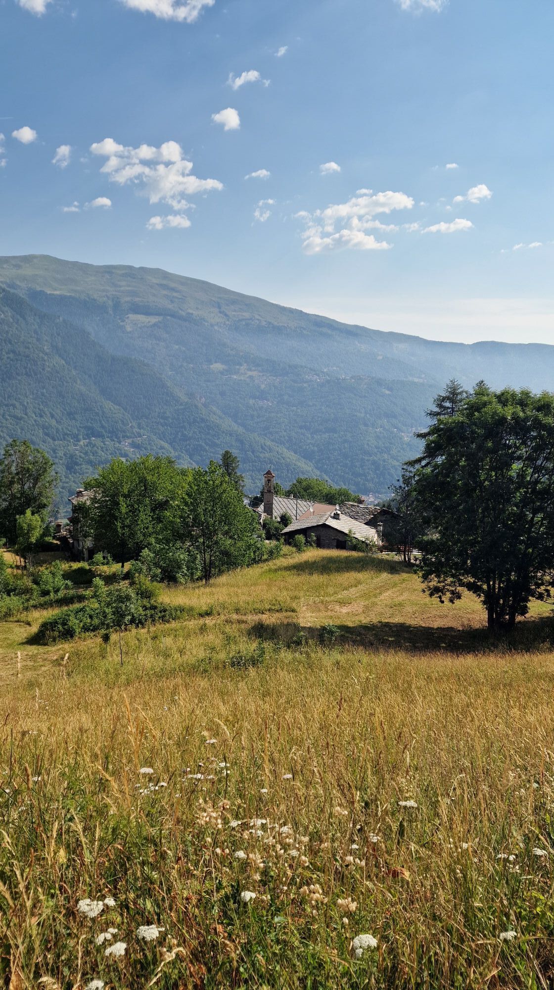
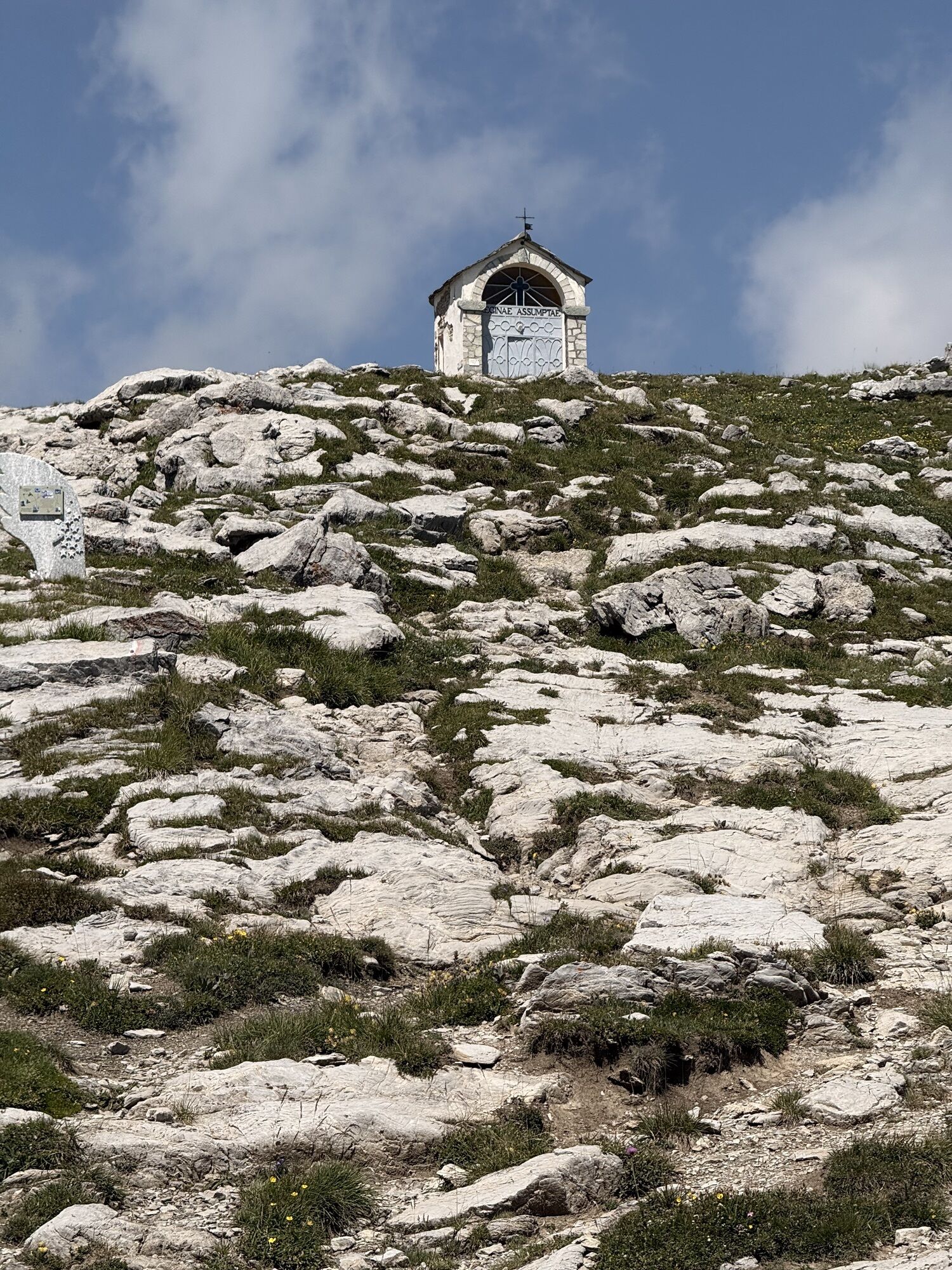
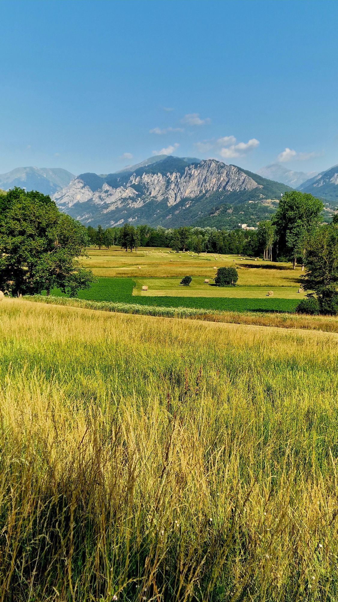
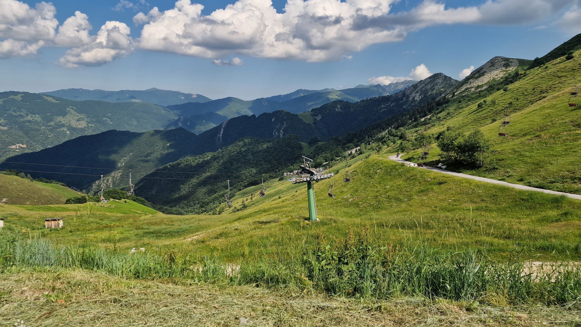
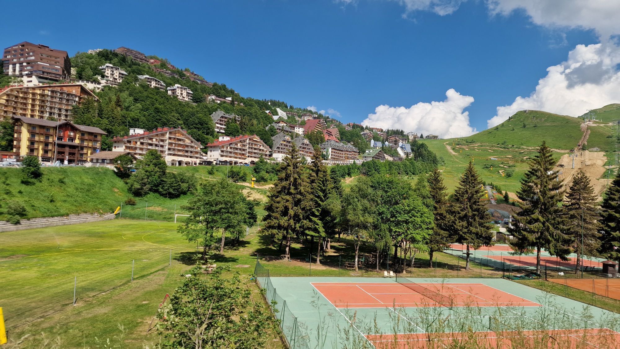
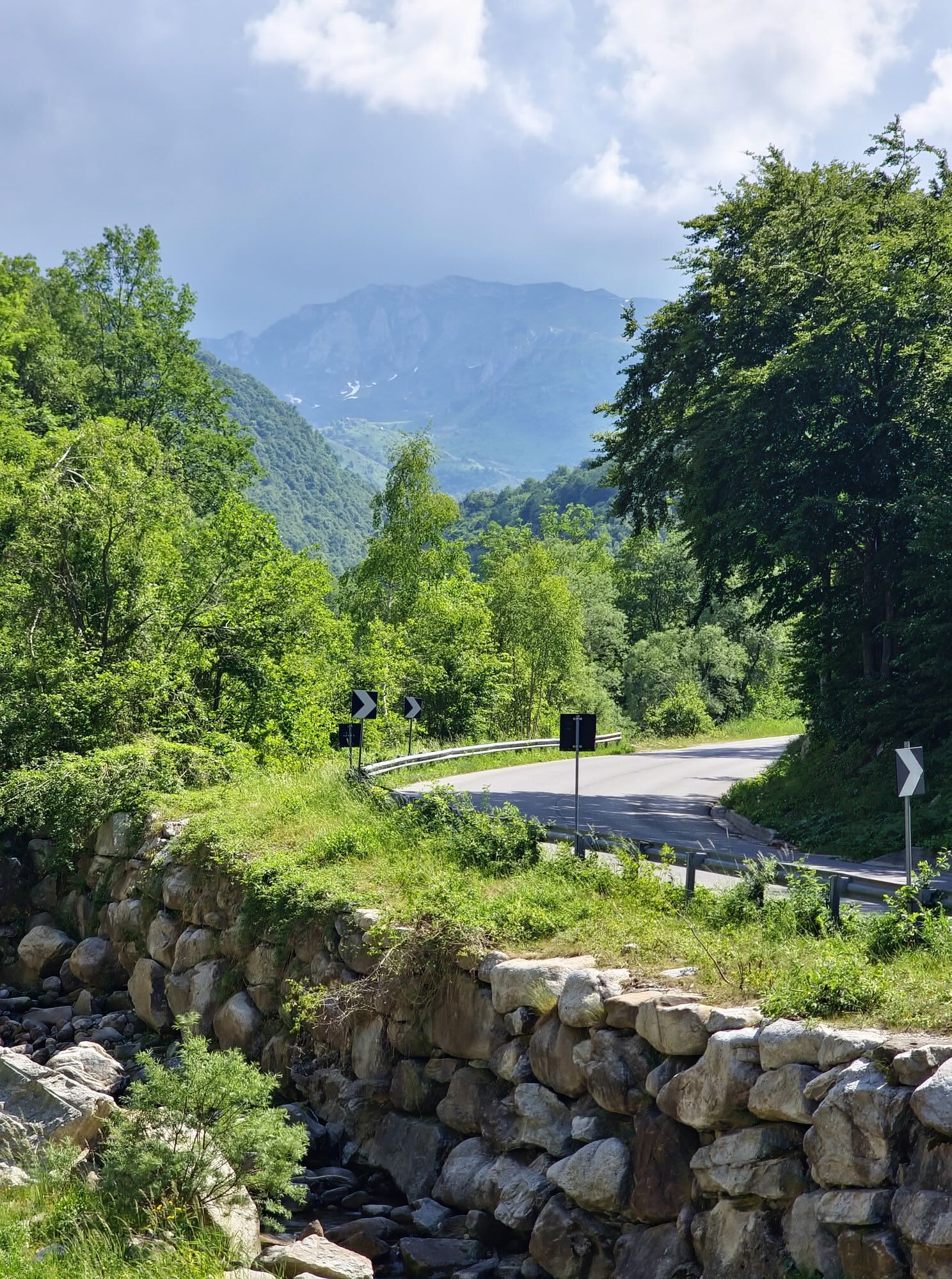
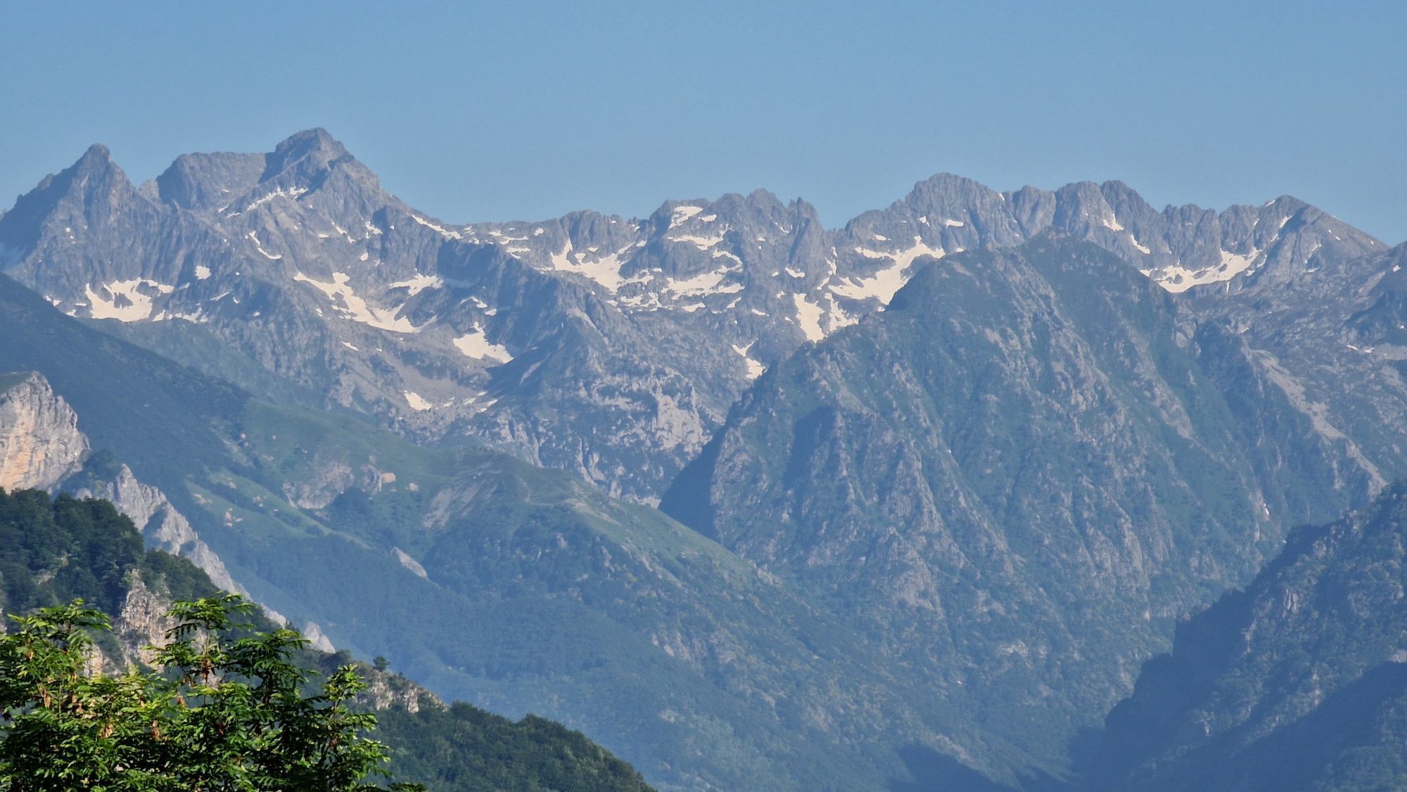
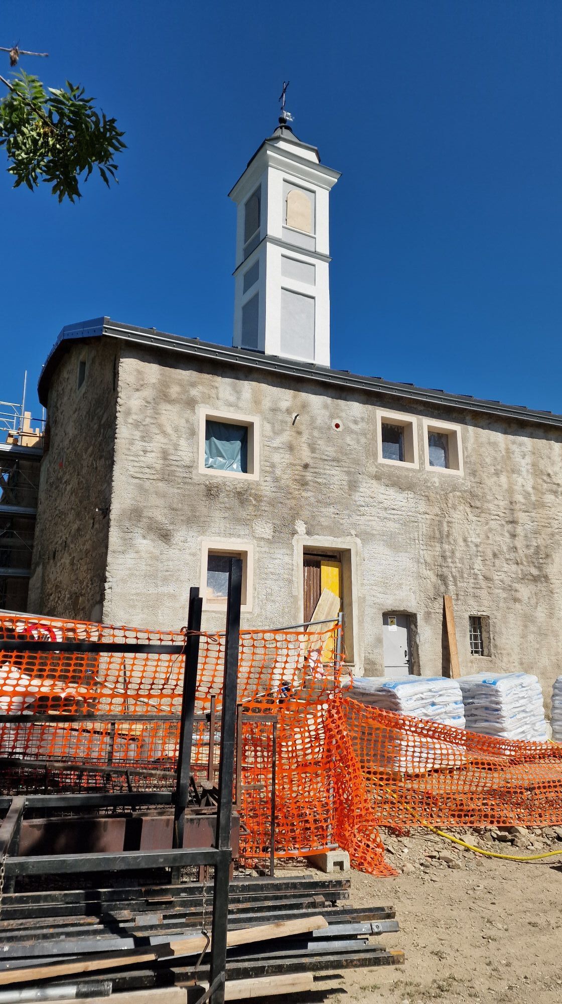
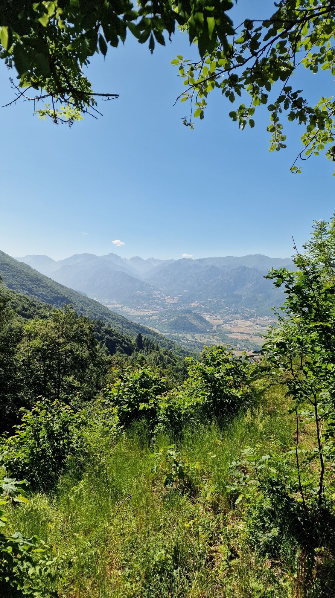
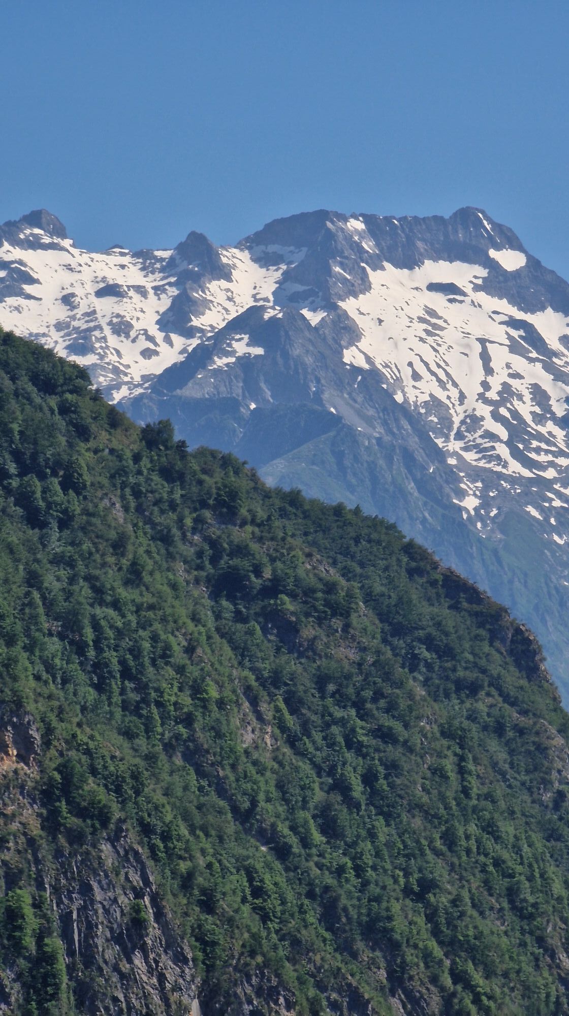
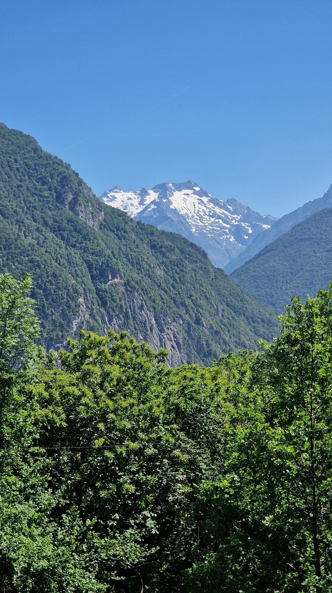
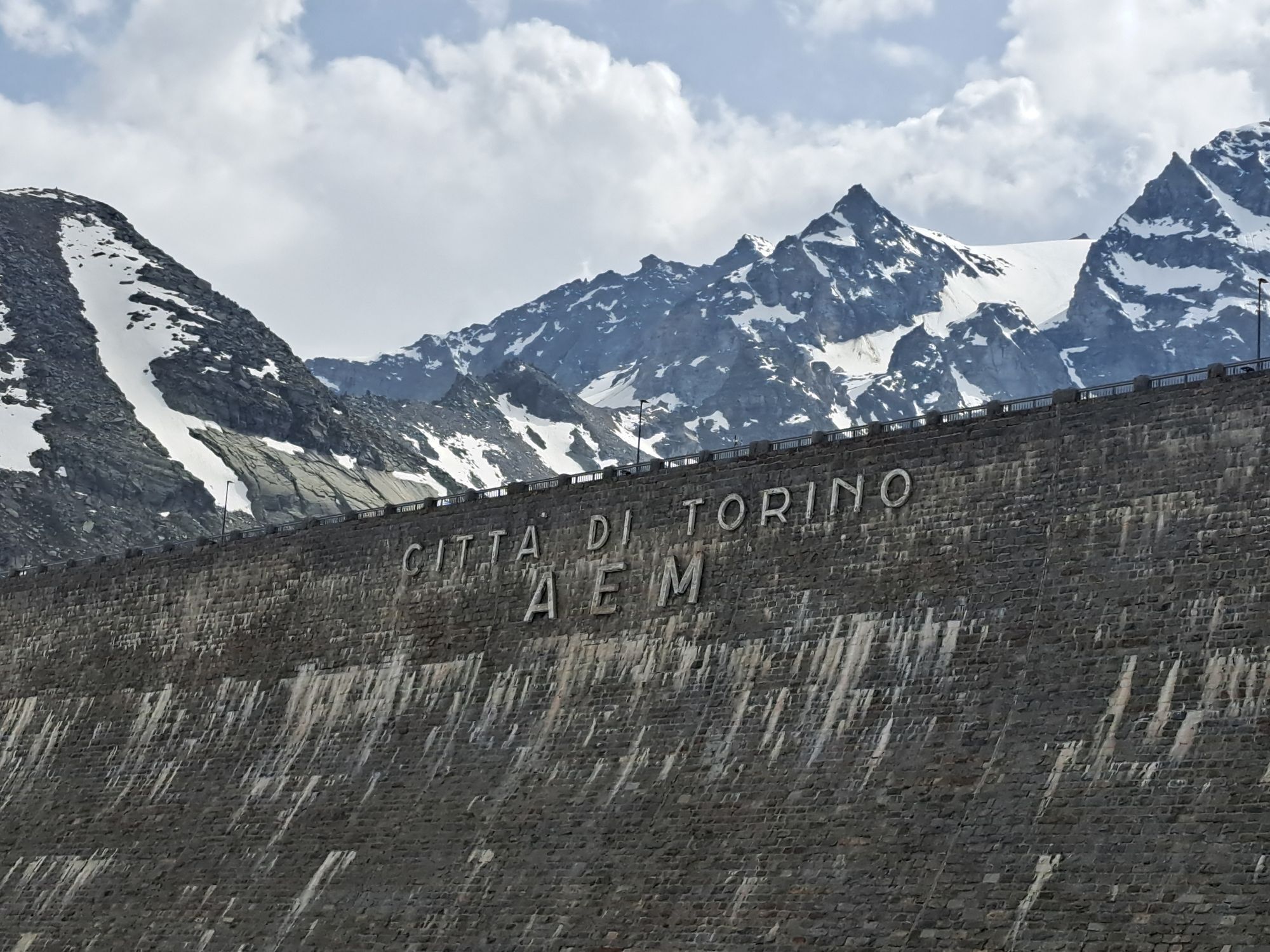
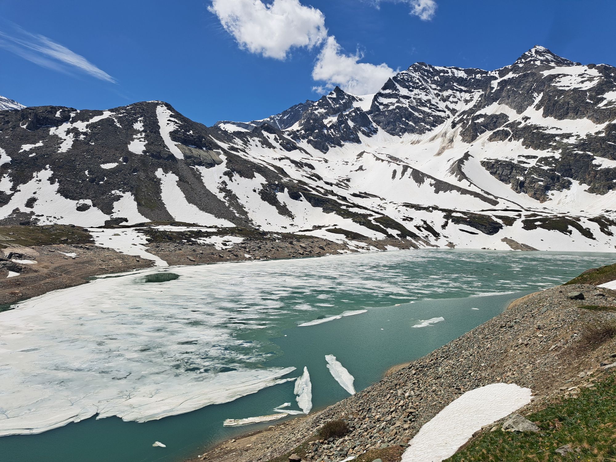
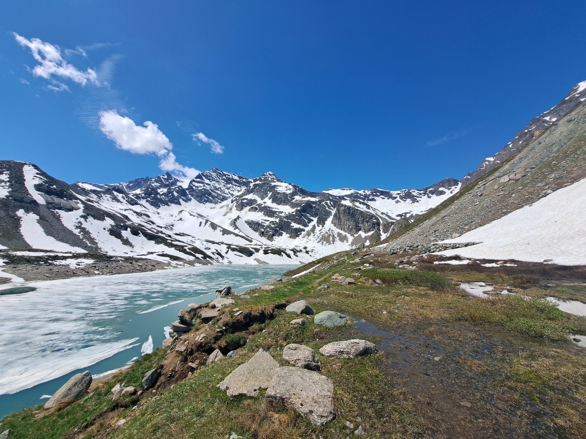
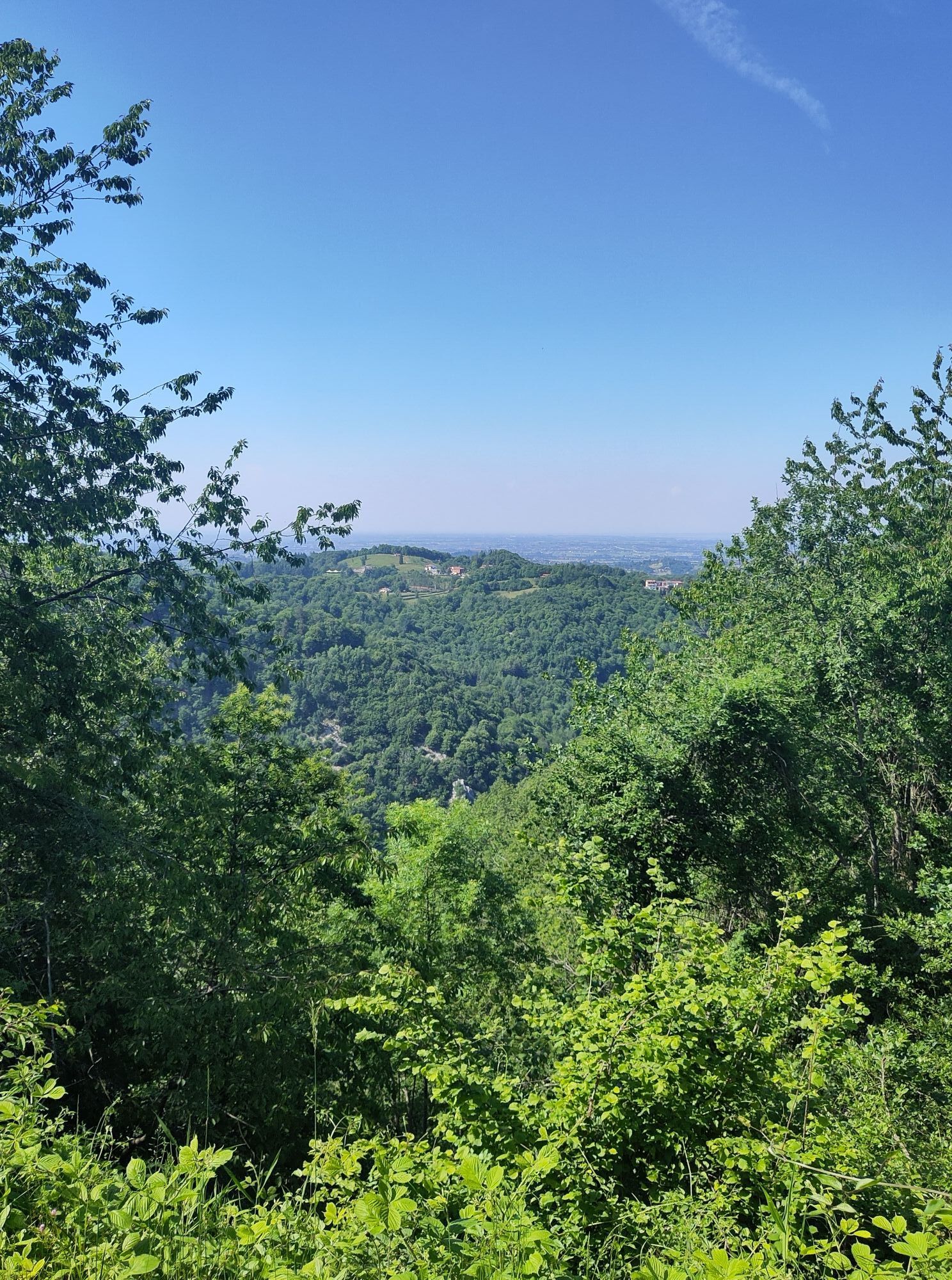
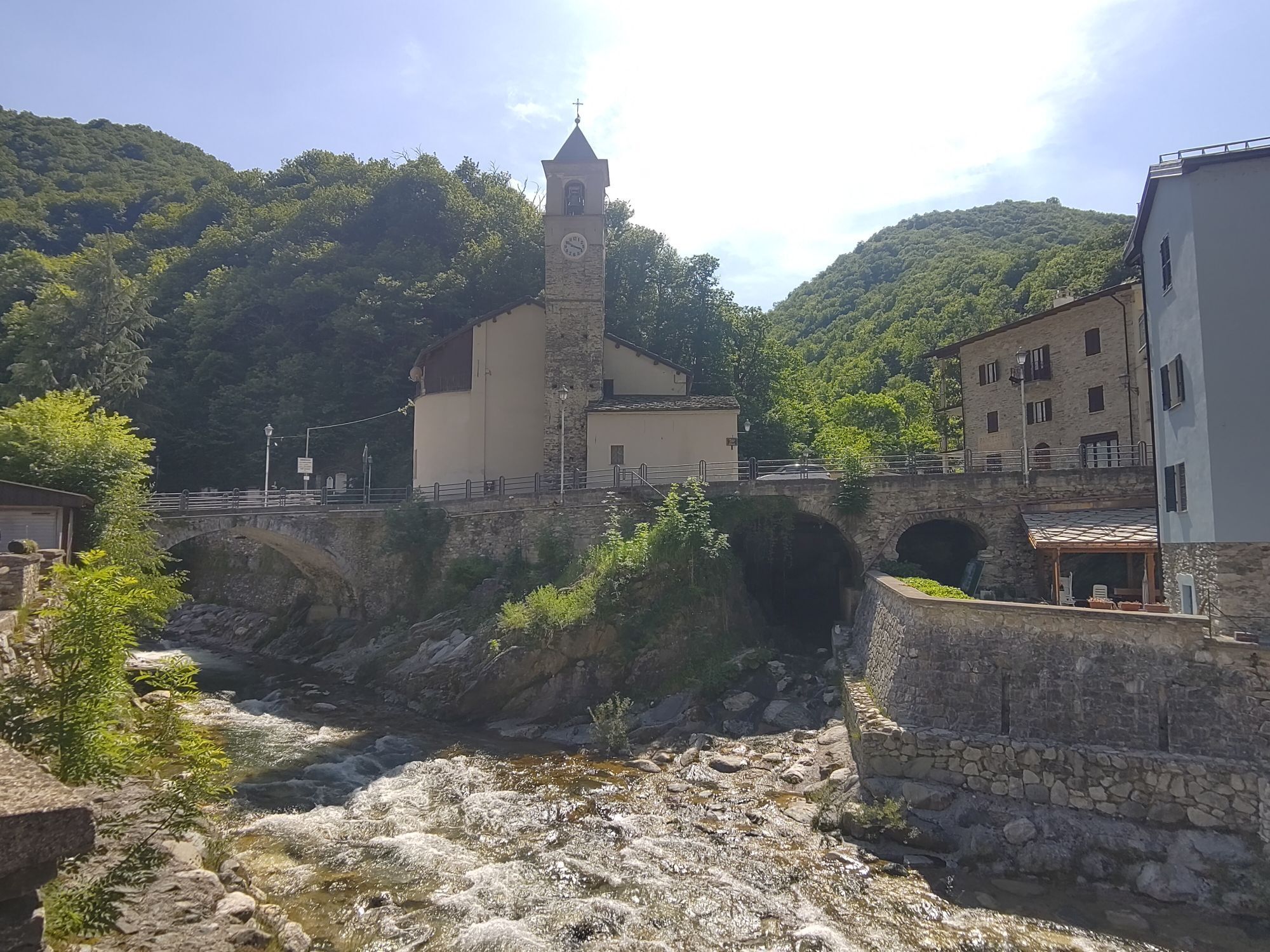
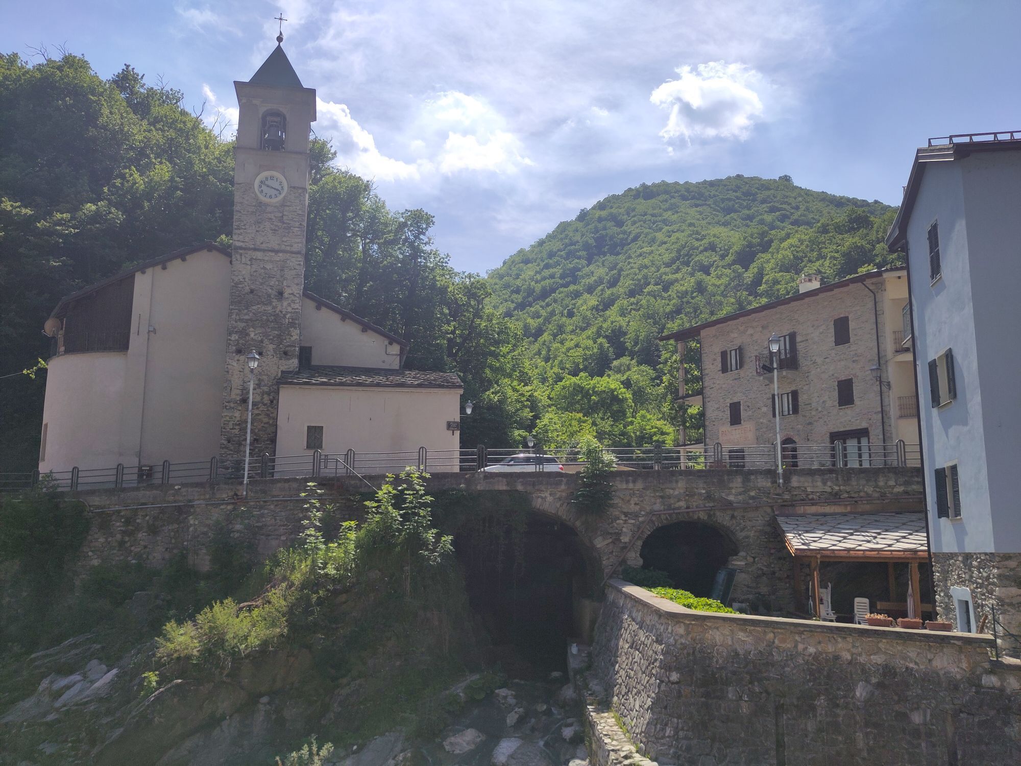
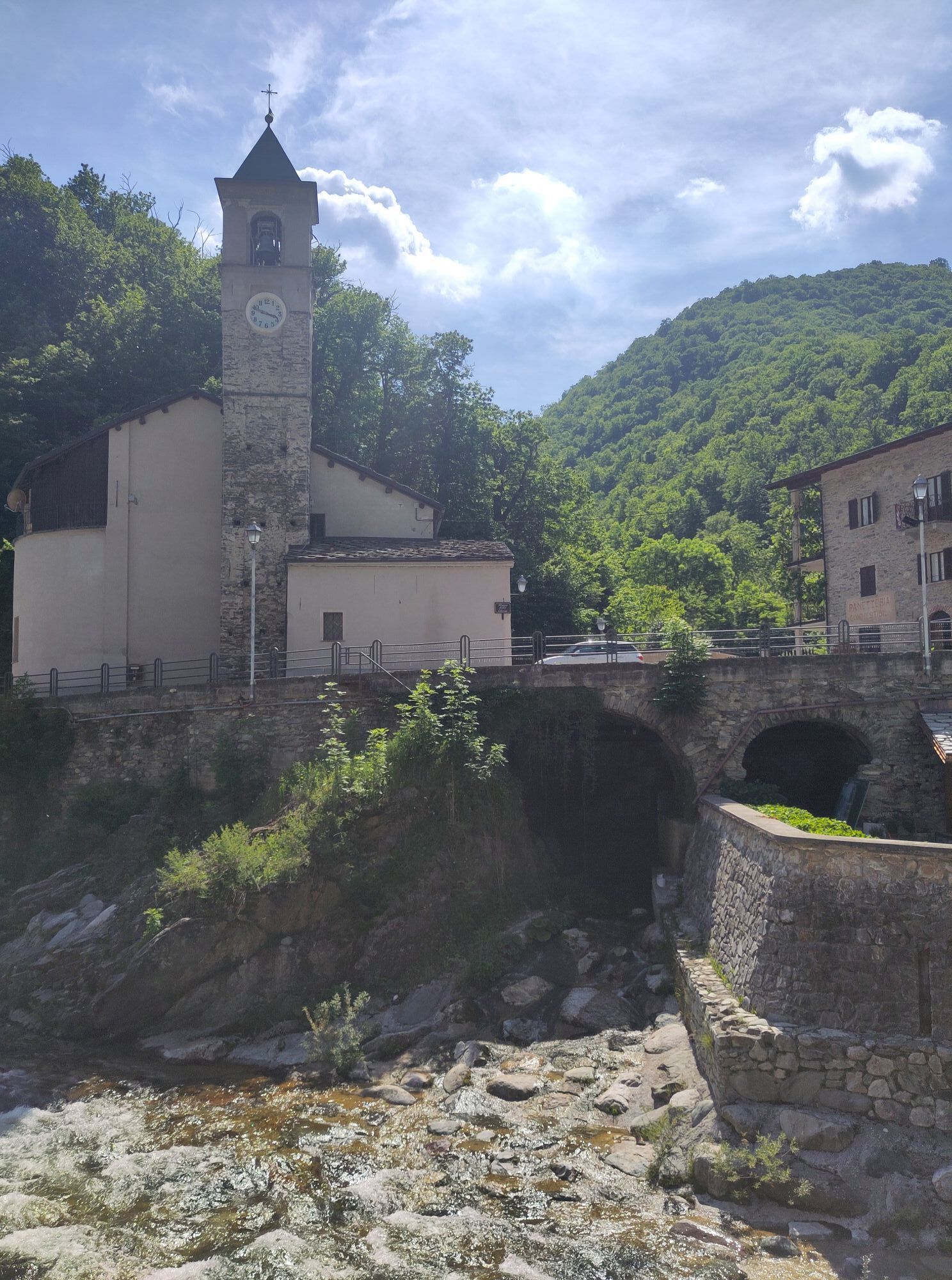
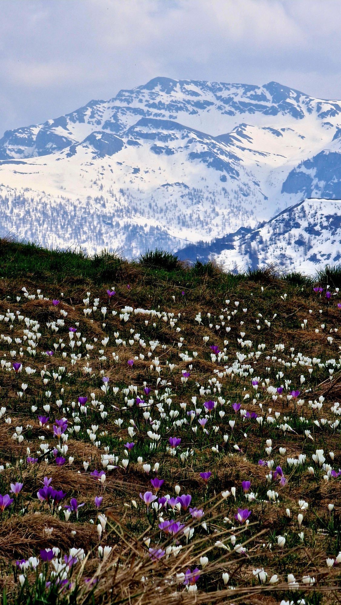
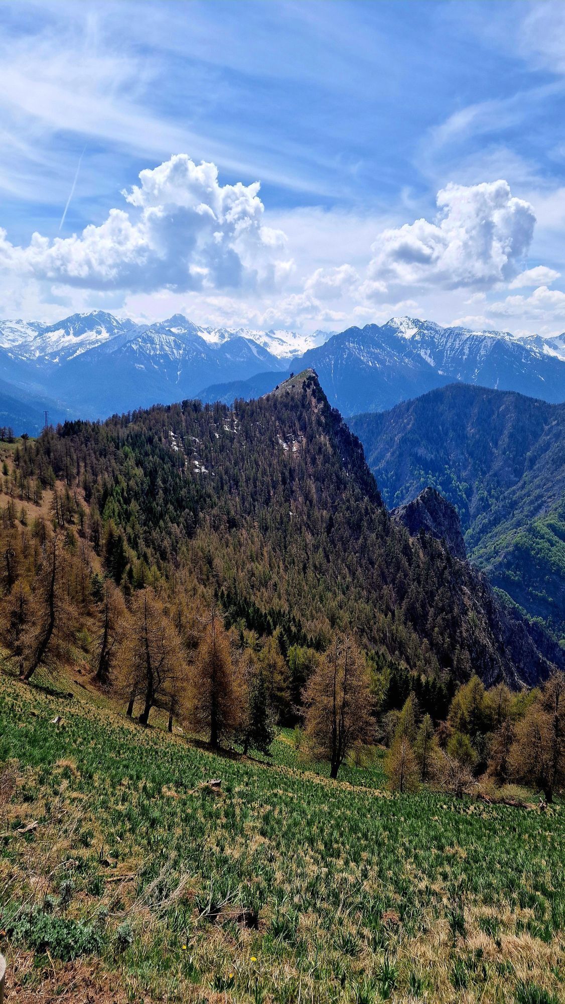
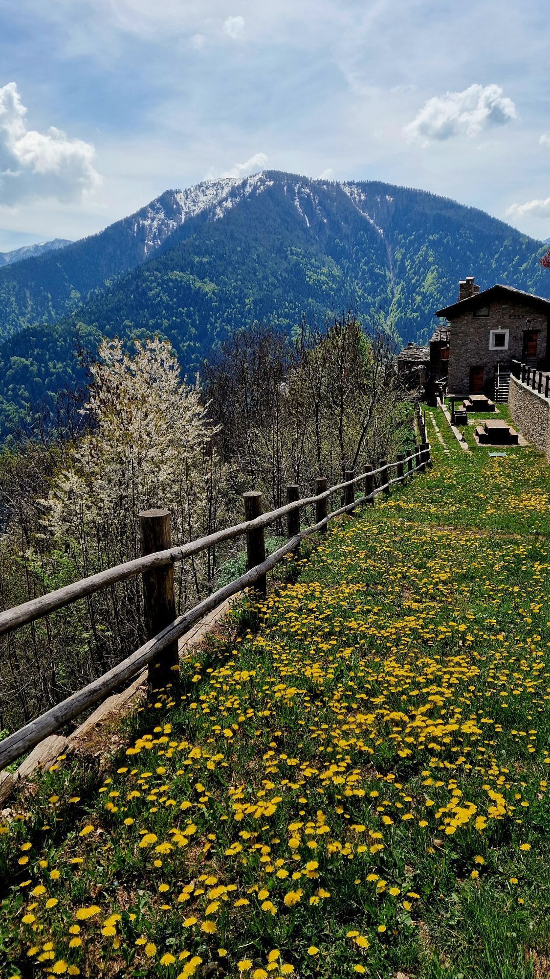
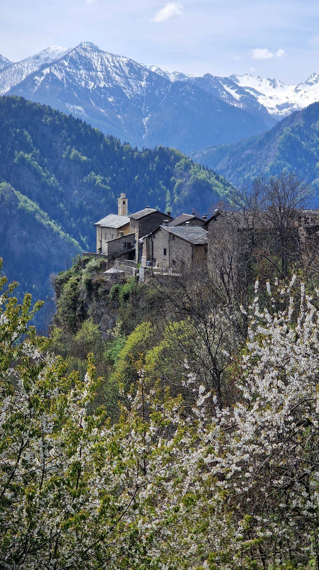
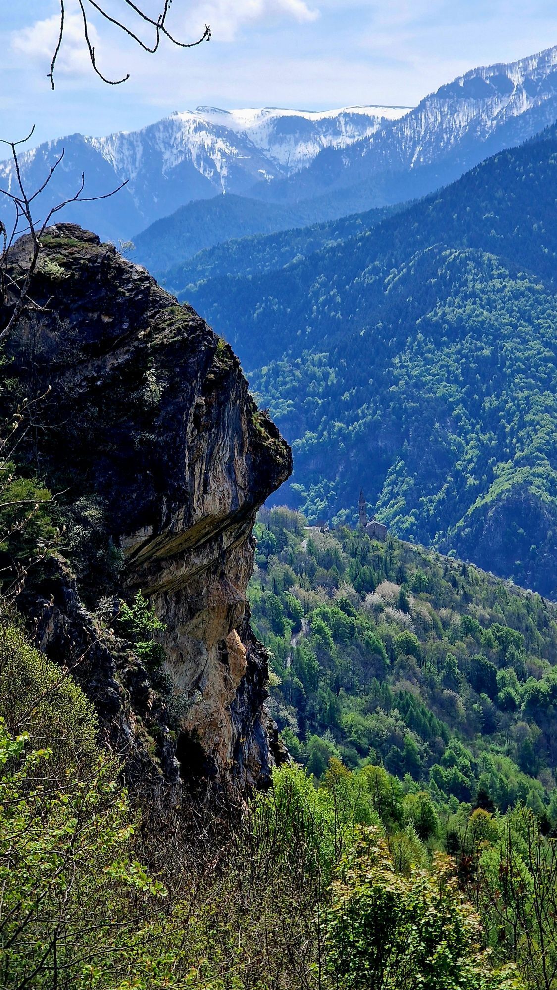
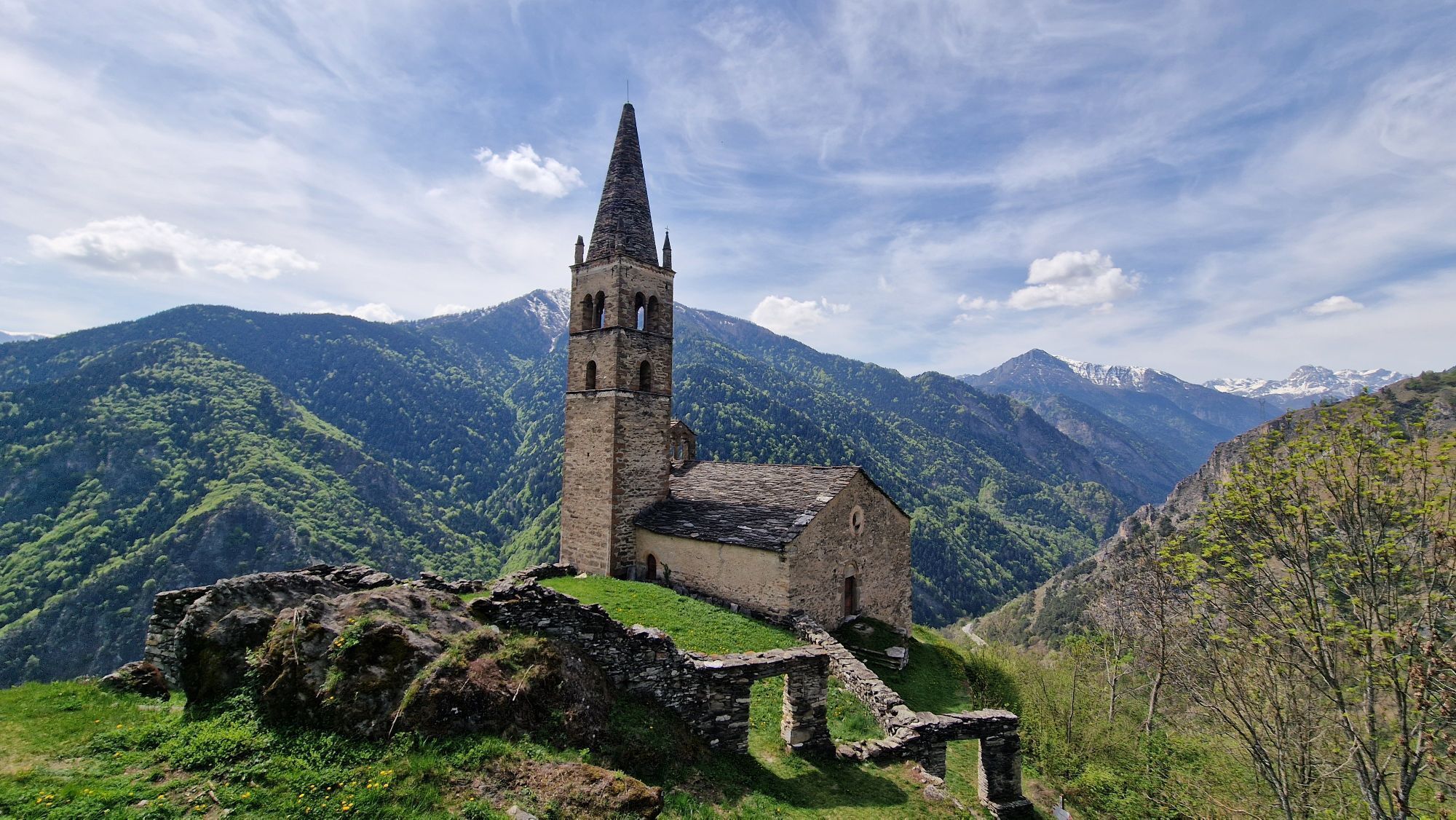
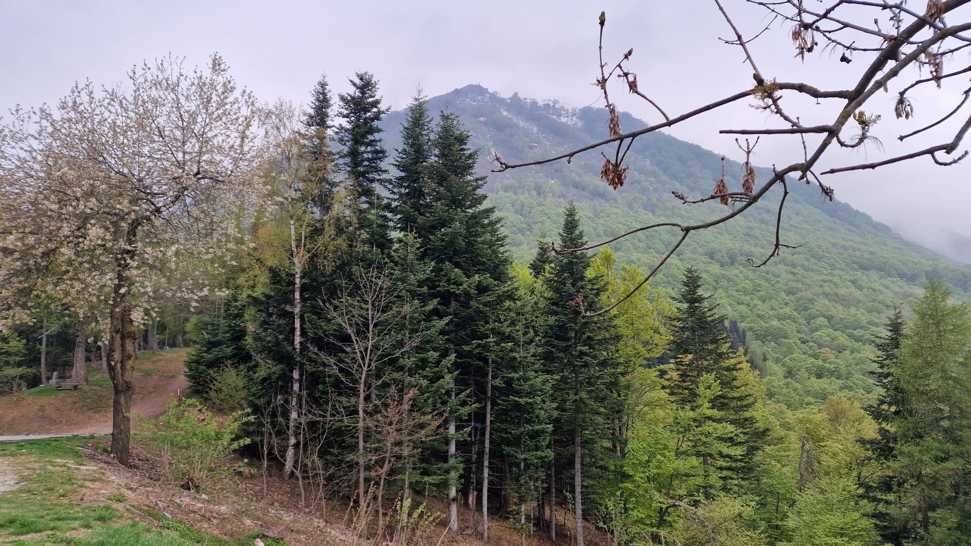
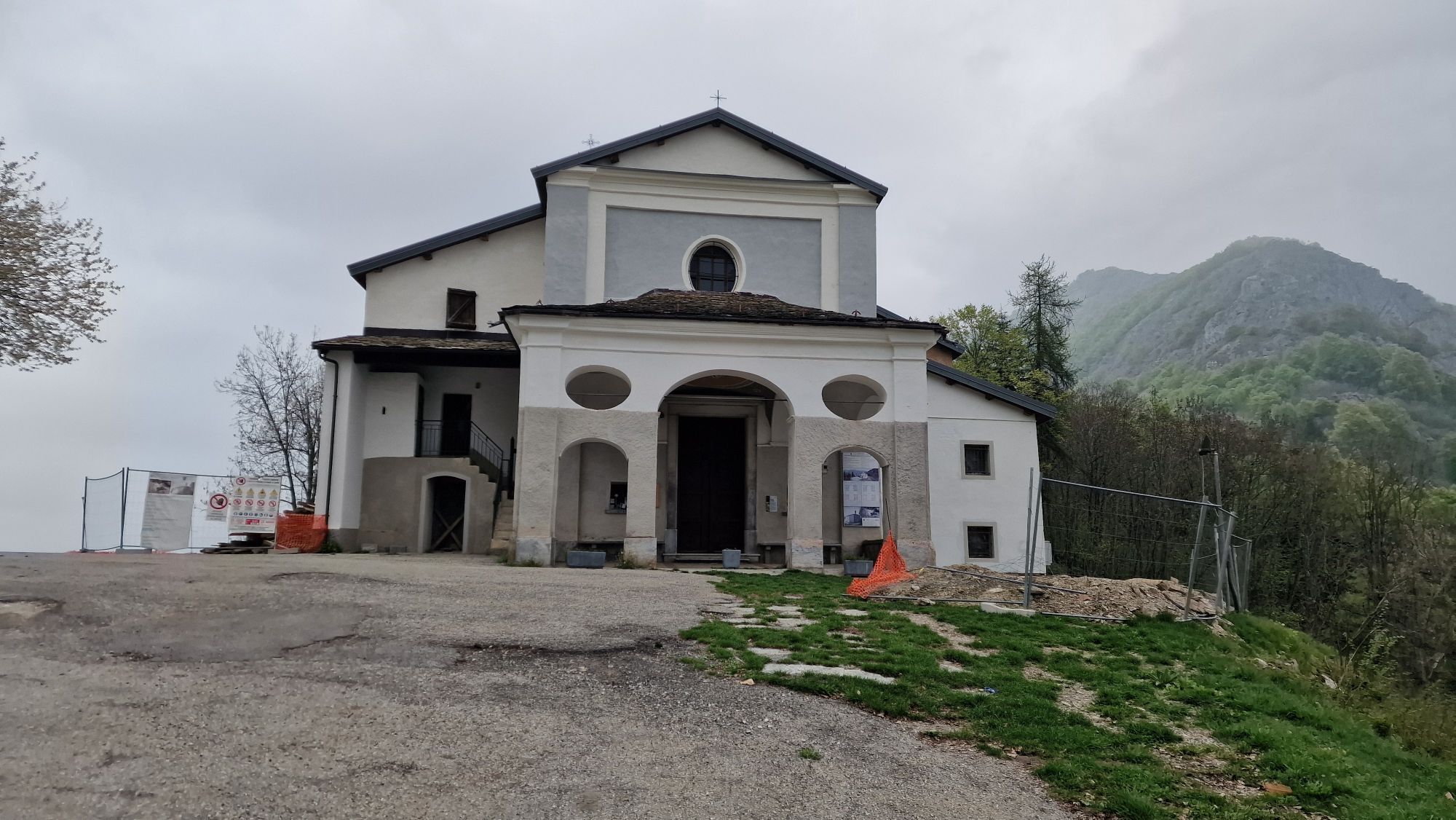
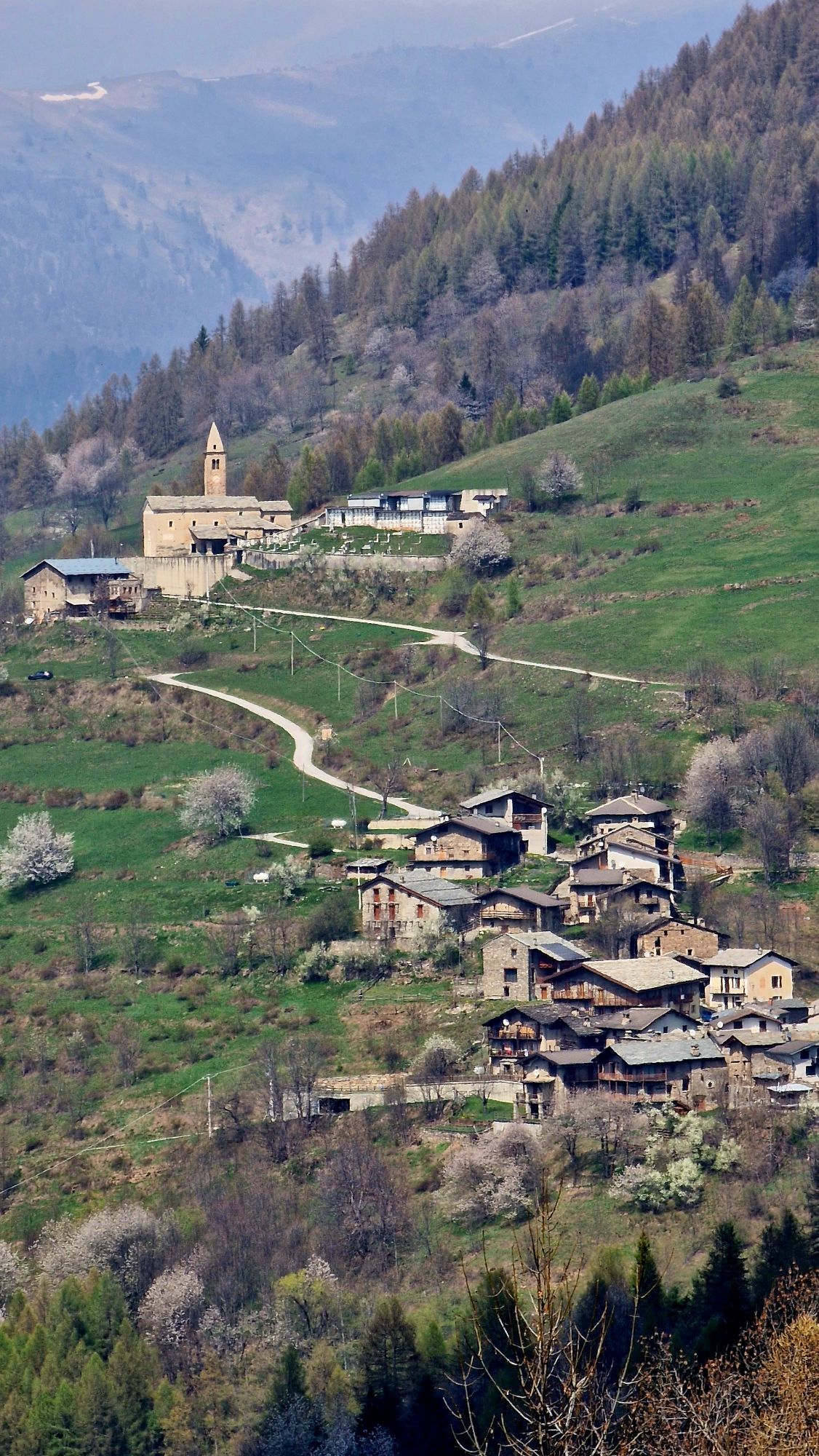
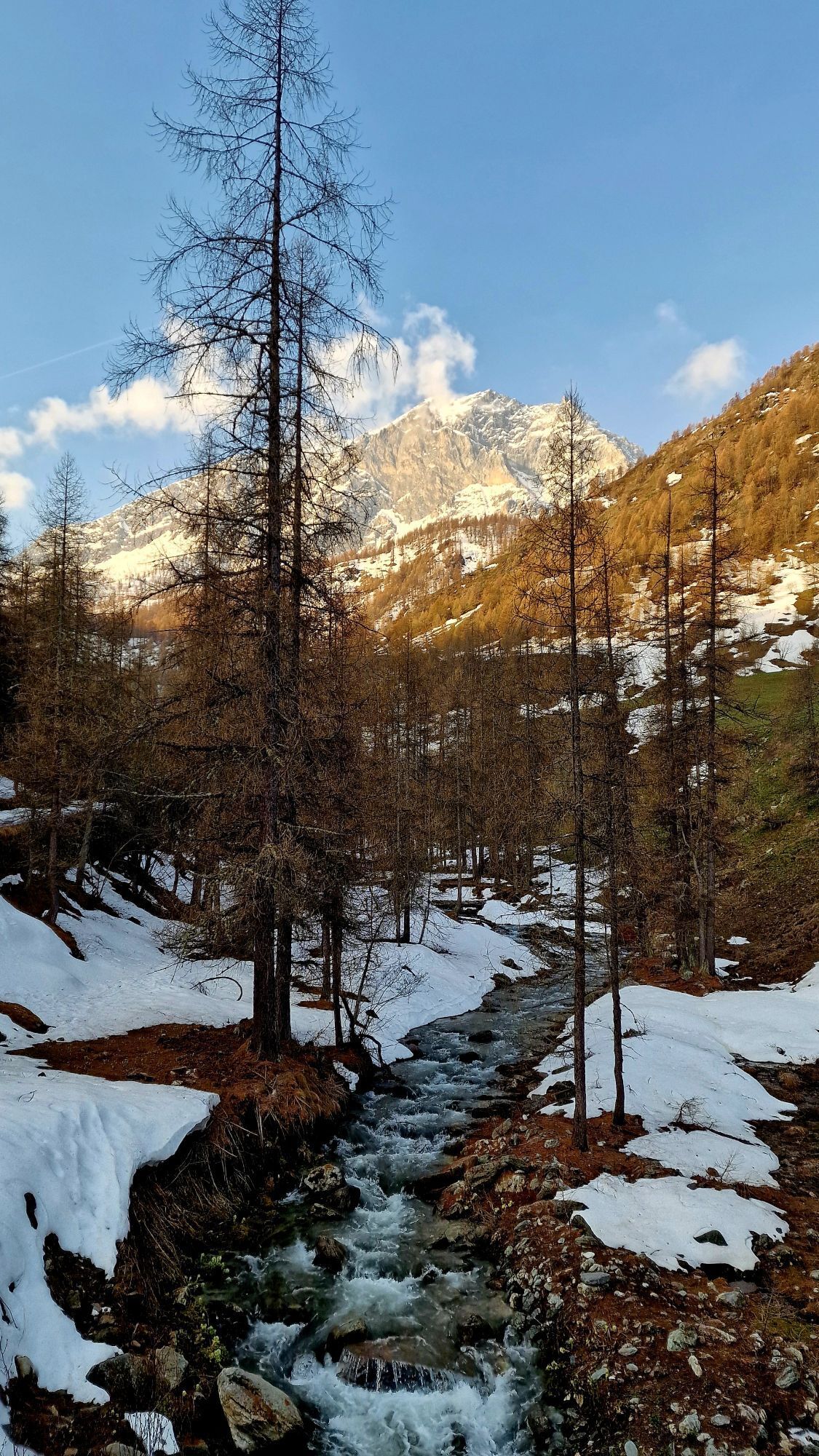
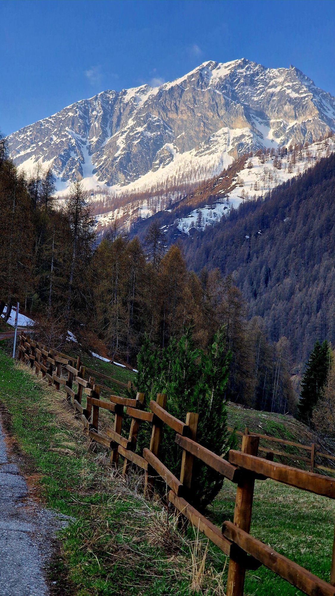
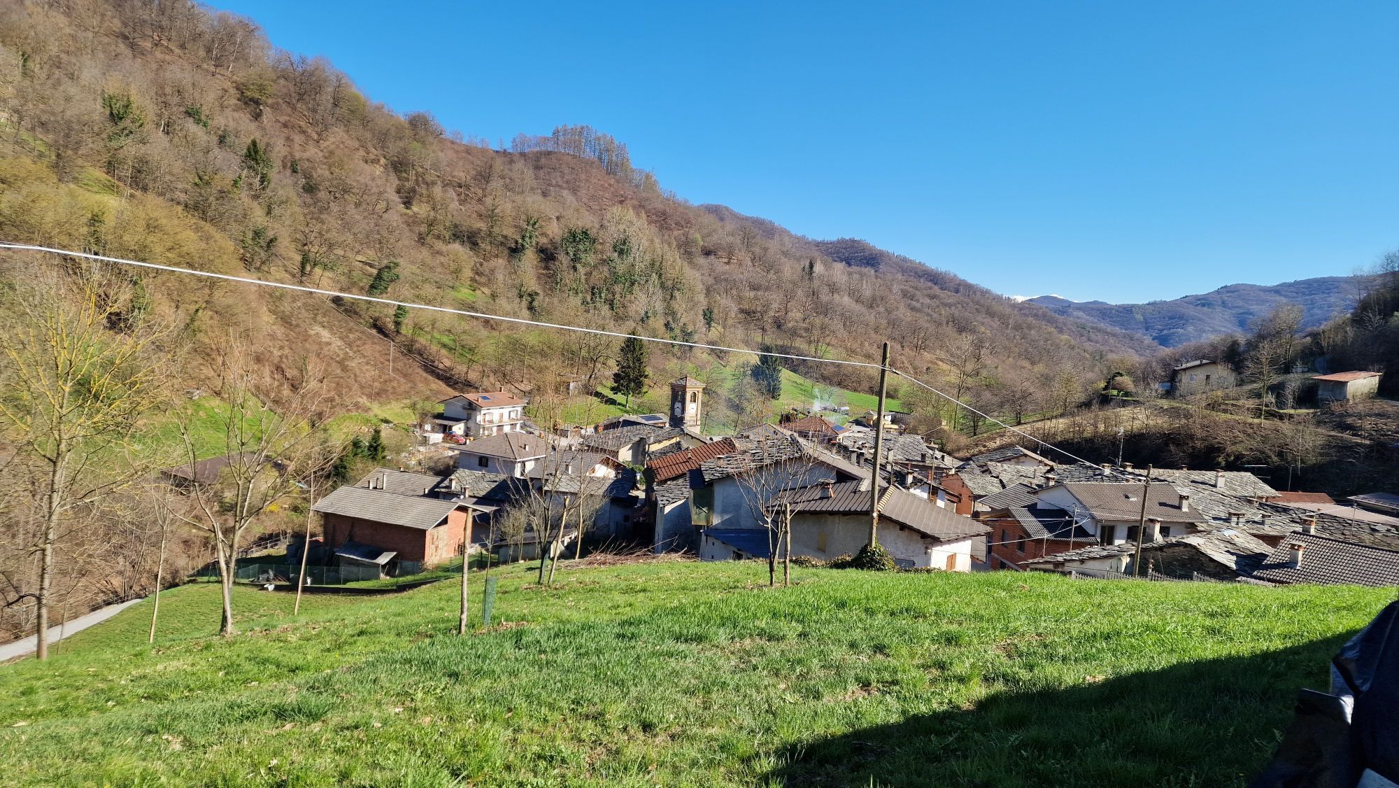
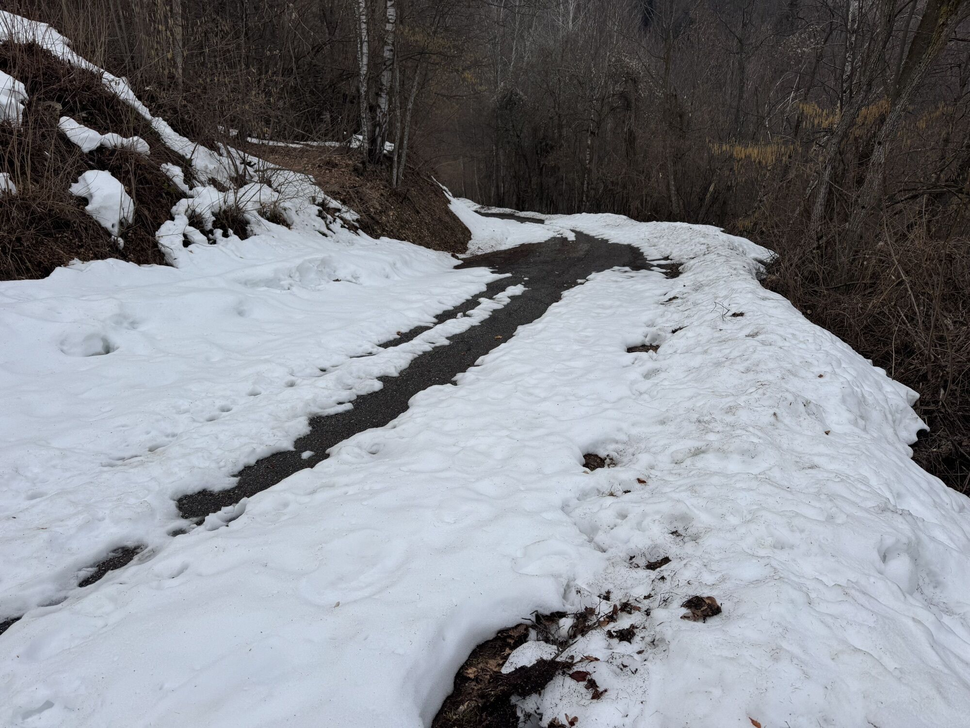
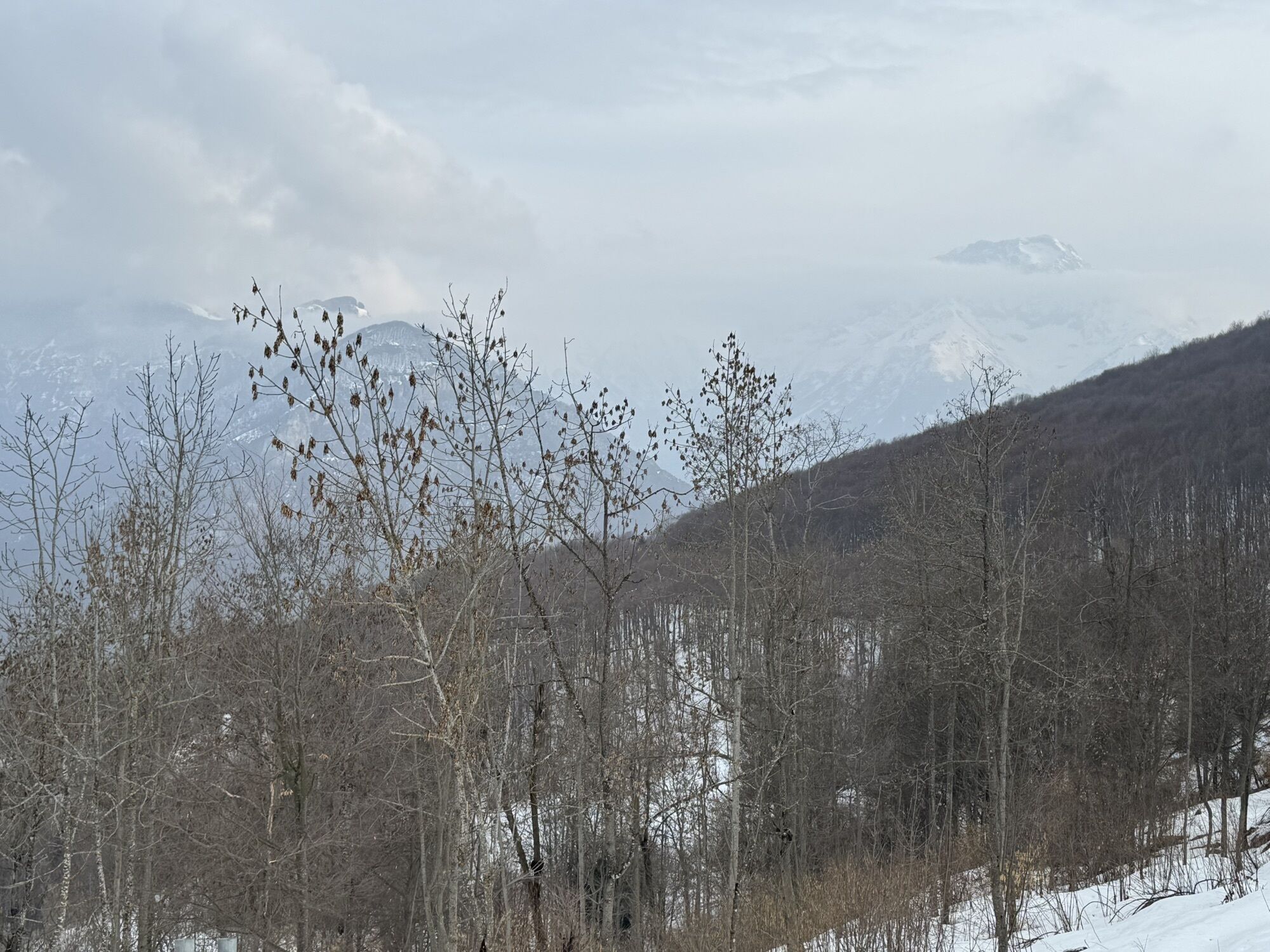
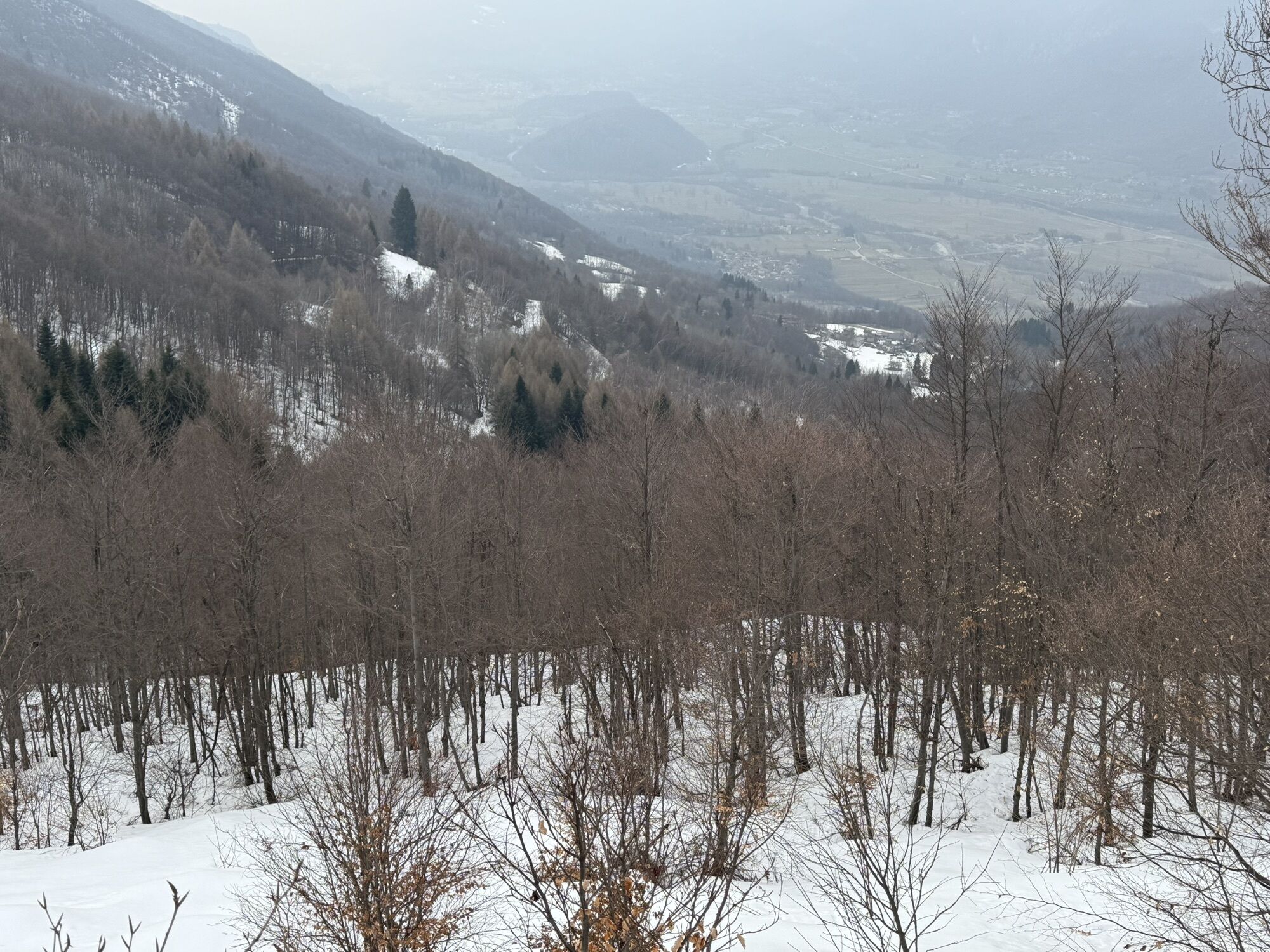
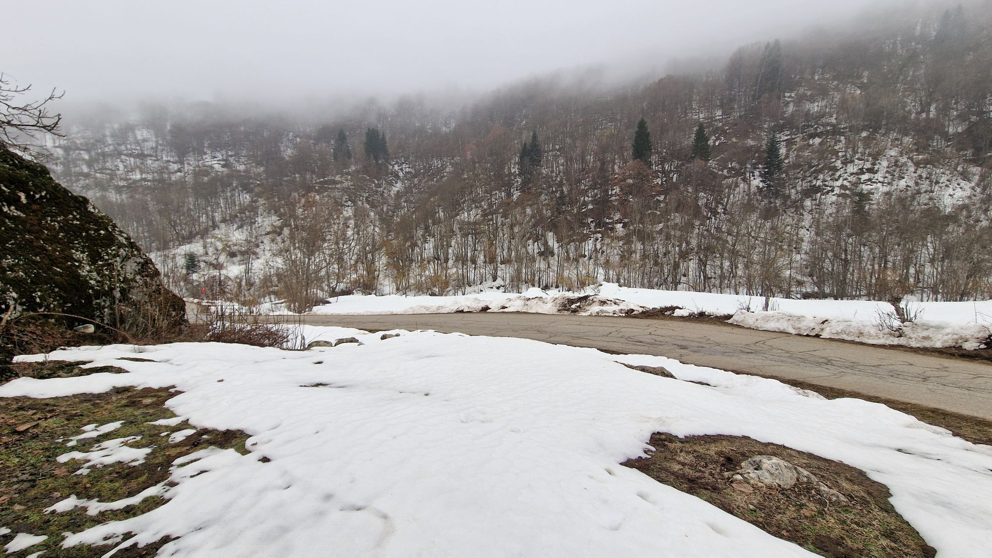
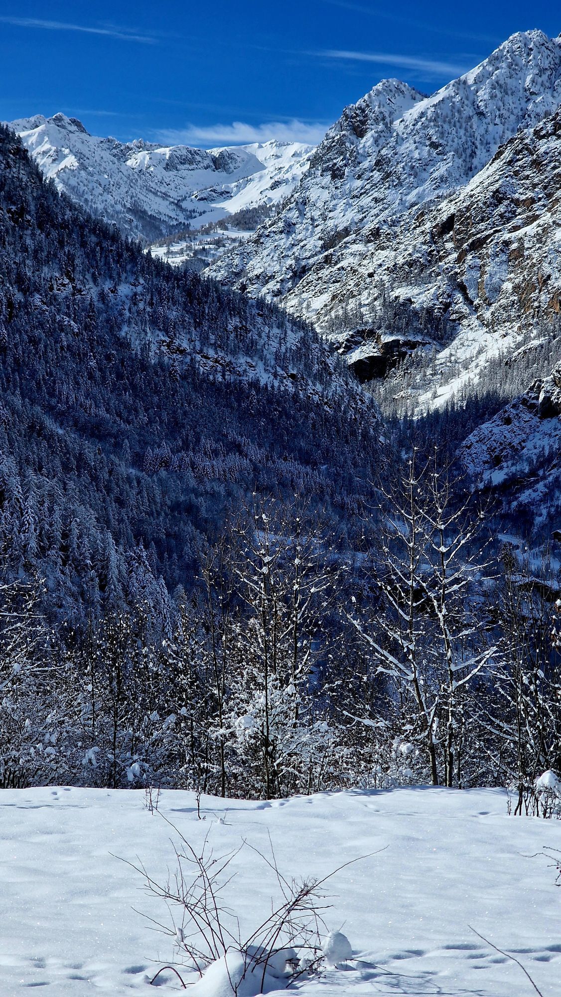
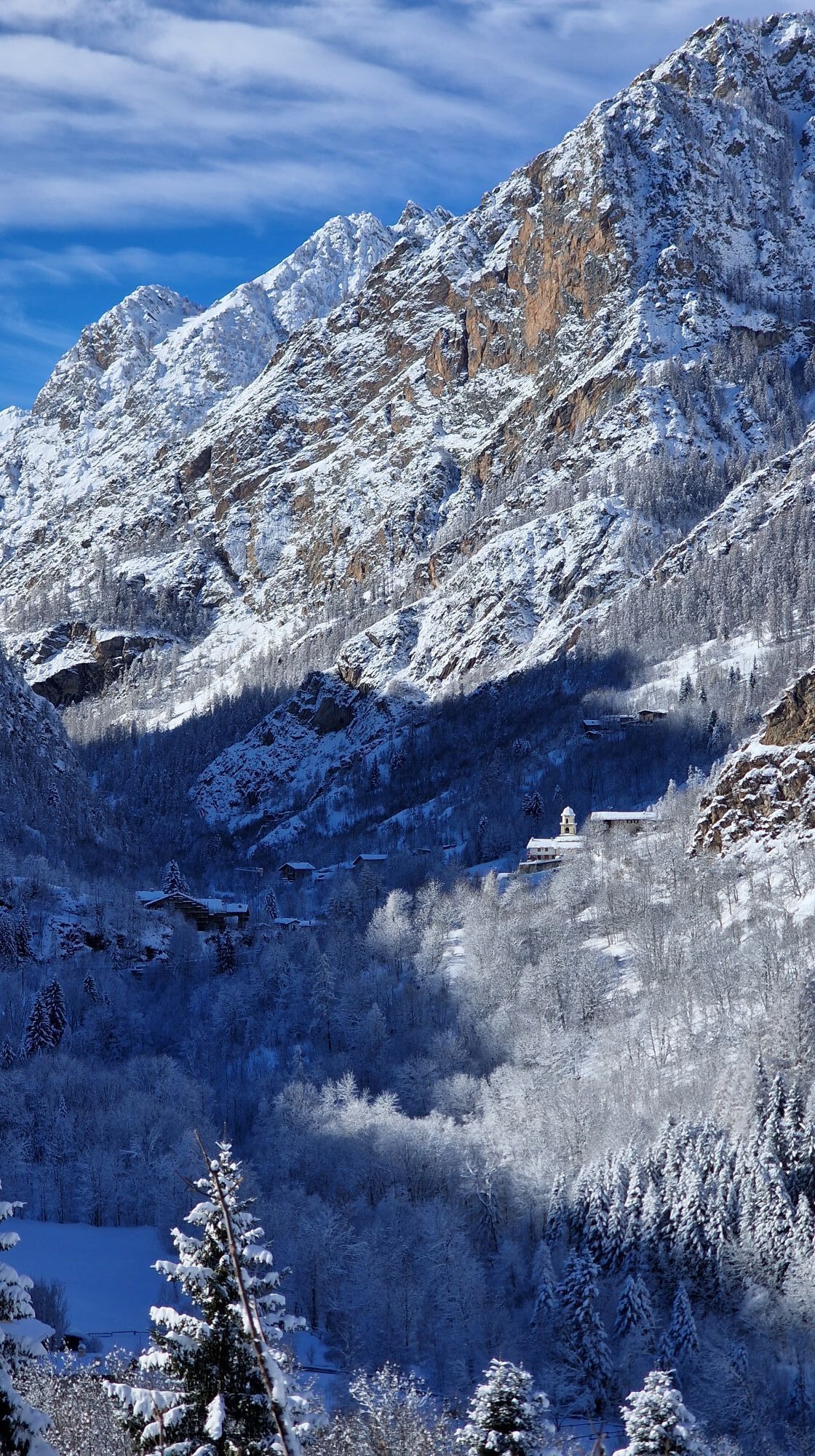
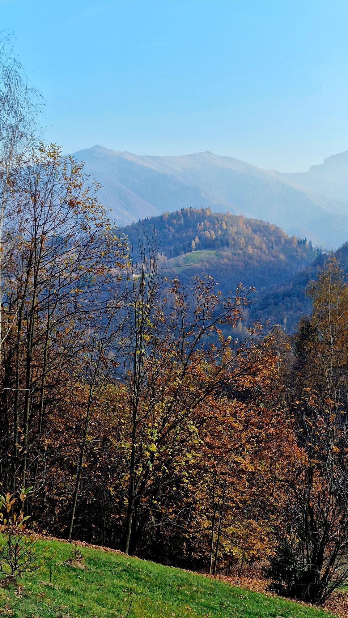
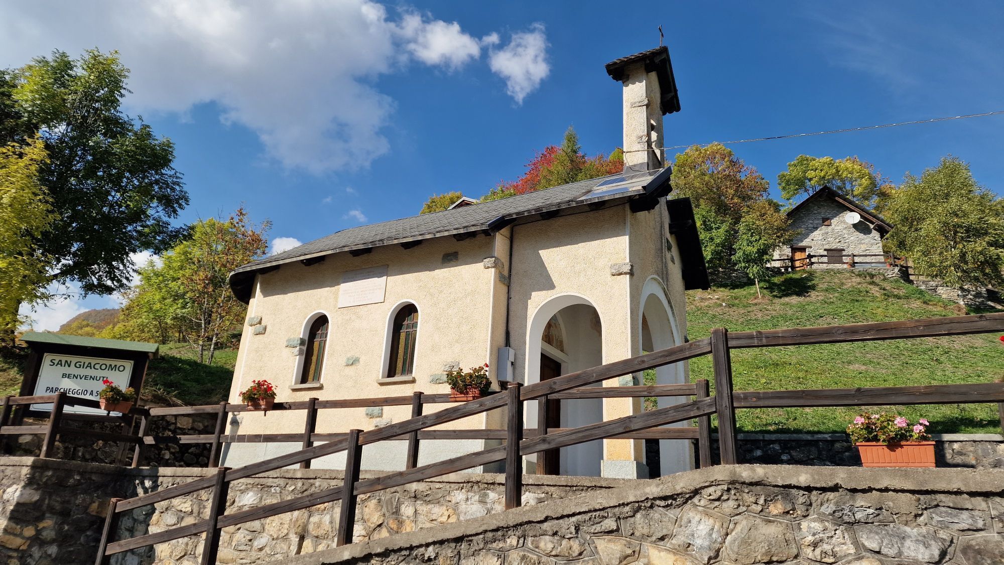
Almost seven hundred kilometers to be traveled in stages on asphalt and dirt, in a total journey between on- and off-road, between history, effort, and the beauty of the Piedmontese Alps. Crossing forests,...
It starts from the lower western Piedmont, among the hilly and mountainous areas of Cuneo, where tourist destinations, historic villages, gastronomic traditions, and ski resorts combine naturalistic, sports, and cultural tourism. Moving northwest, the itinerary crosses a sequence of alpine valleys exemplifying the connection between territory, military history, and cross-border mobility.
The "interval" route descends towards the Saluzzo plain and then rises through the valleys of Turin and Pinerolo, alternating rural environments, Waldensian valleys, and historic infrastructures to reach the key point between Val Chisone and Val Susa, with a strong symbolic and natural impact. Finally, it heads toward the Lanzo Valleys and the Gran Paradiso Park with the climb to Colle del Nivolet, the highest and most spectacular point of the entire route. Here, the narrative culminates in a high-altitude landscape dominated by lakes, plateaus, and a protected environment, symbolizing the Piedmontese Alpine mountain in its purest form.

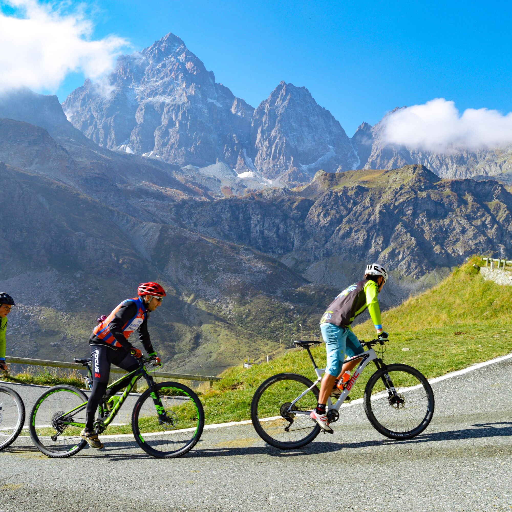

1) From Piedmont overlooking the sea to the hills towards France (Alto-Demonte CN)
2) From the legendary Colle Fauniera to the sources of the Po (Demonte-Sampeyre CN)
3) Crossing from Cuneo to Turin (Sampeyre-Pian dell'Alpe CN-TO)
4) Assietta and Colle delle Finestre, the gateways to the high paths of Val Susa (Pian dell'Alpe-Meana di Susa TO)
5) The descent into the Lanzo Valleys and the climb to Gran Paradiso (Meana di Susa-Ceresole Reale TO)
Tak
Tak
See the description of each stage for specifics.
Forts, barracks, and military structures climb along ridges and passes, following ancient communication routes that for centuries connected the plains to the high Alpine peaks.Today, these roads are being revived as "Historic Mountain Routes": extraordinary routes to be explored slowly, from the Maritime Alps to Gran Paradiso, by bicycle or motorbike, traversing valleys, hairpin bends, and high-altitude routes amid spectacular views and traces of the past.
An invitation to travel, to the outdoors, and to discovery, along itineraries capable of providing authentic emotions.
Uzyskaj wgląd
Zawsze na żywo z ponad 9 500 kamer internetowych. bergfex Jako użytkownik Pro, możesz teraz zobaczyć odpowiednie kamery internetowe dla wielu wycieczek w aplikacji wycieczki od. Pozwala to na bezpośredni podgląd aktualnych warunków.
Popularne wycieczki w okolicy
-
BRICHERASIO The Via della Pietra
światłoKolarstwo długodystansowe 11,5 km -
TORRE PELLICE Naturalistic trail "The Jay"
światłoWędrówka 10,2 km -
The Lioussa Valley - Chiot la Sella
światłoWędrówka 14,0 km -
LUSERNA S.G. Upslowtour - Luserna Stone Loop 9
średniJazda na rowerze 38,1 km -
CAVOUR Ancient trees
światłoKolarstwo długodystansowe 29,6 km -
RORÀ "Health and Nature" route
średniWędrówka 10,4 km -
LUSERNA S.G. Hike to Rorà Mountain Park
średniDroga rowerowa 10,2 km -
VILLAR PELLICE Upslowtour - Comba Liussa Ring 6
światłoJazda na rowerze 11,8 km -
Grand Tour UNESCO Arco 4 | From Racconigi to Avigliana
ciężkiKolarstwo długodystansowe 134,5 km -
RORÀ Bandì Ring
światłoWędrówka 3,51 km
Wędrówki i tropienie


Nie przegap ofert i inspiracji na następne wakacje
Twój adres e-mail została dodana do listy mailingowej.





