







Via dell'Arbola - Via Albrun

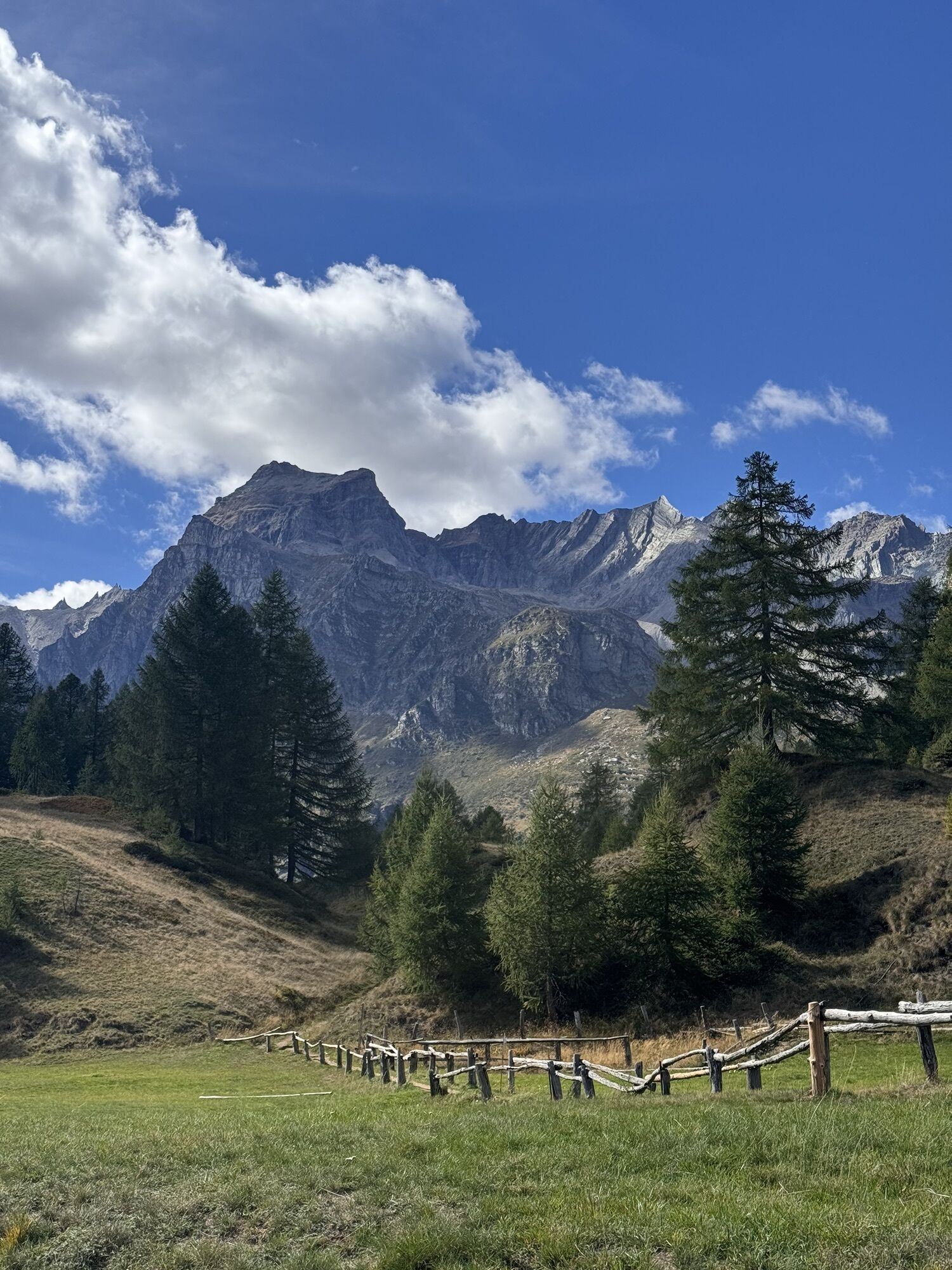
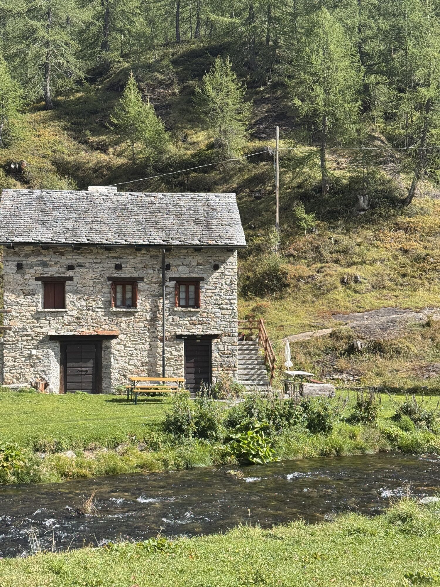
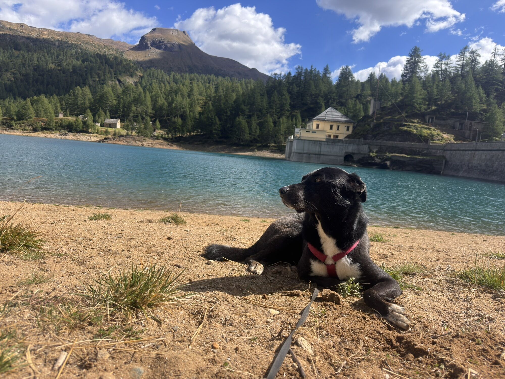
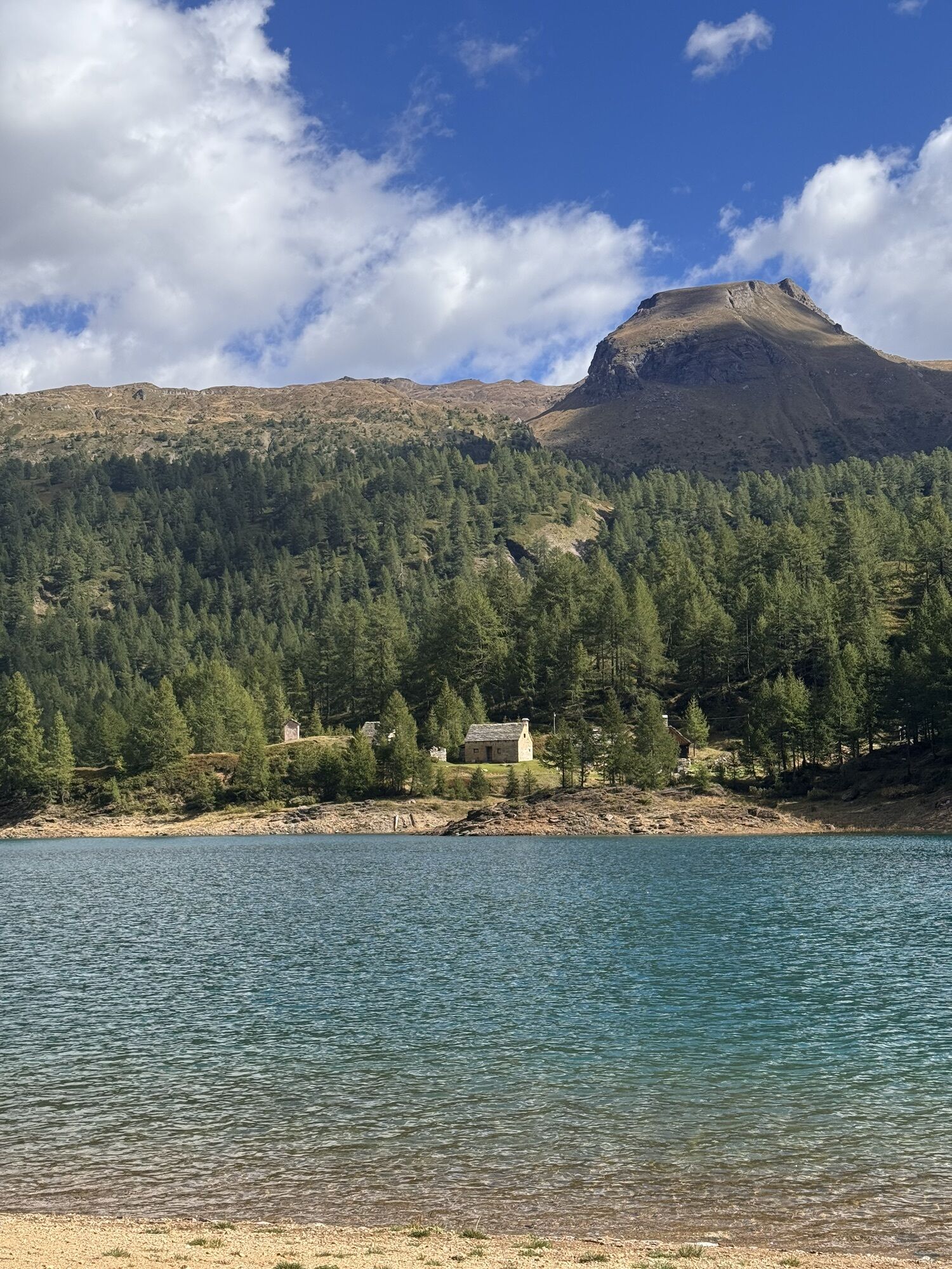
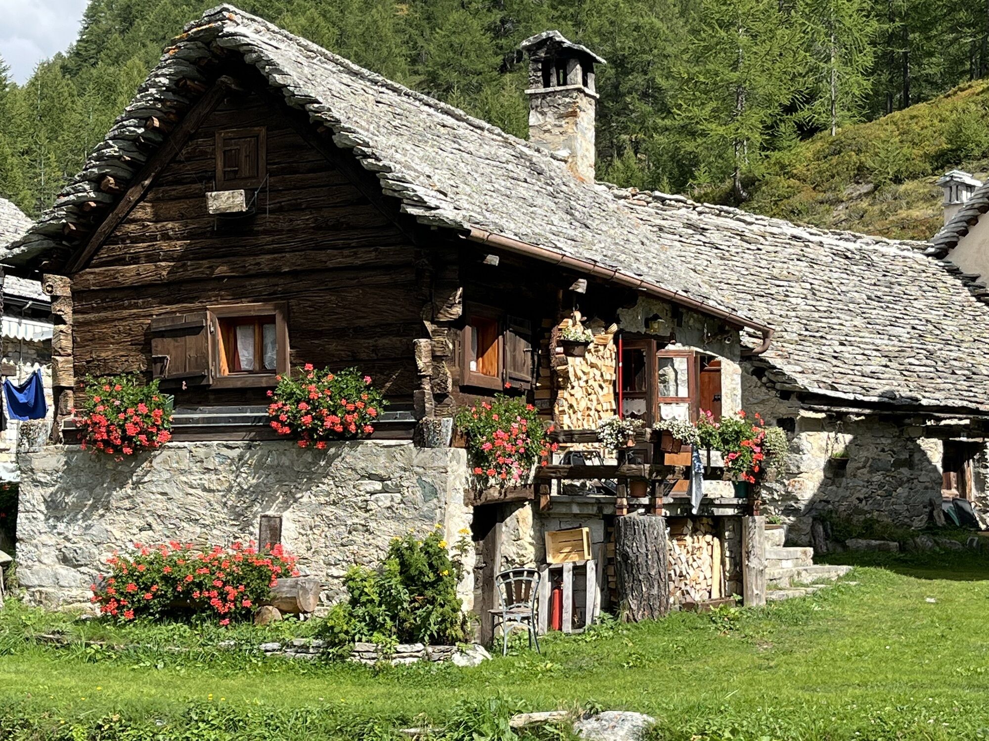
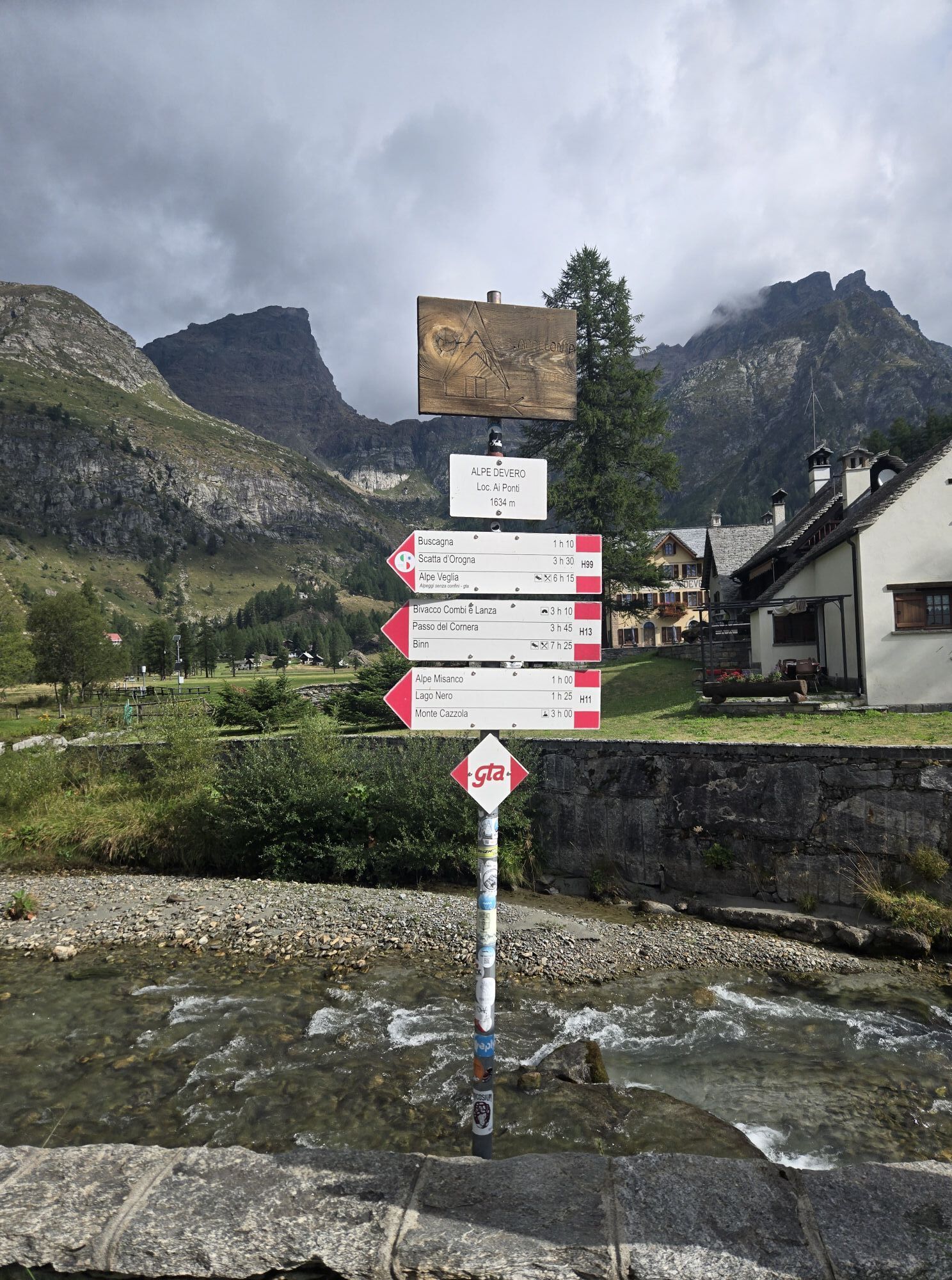
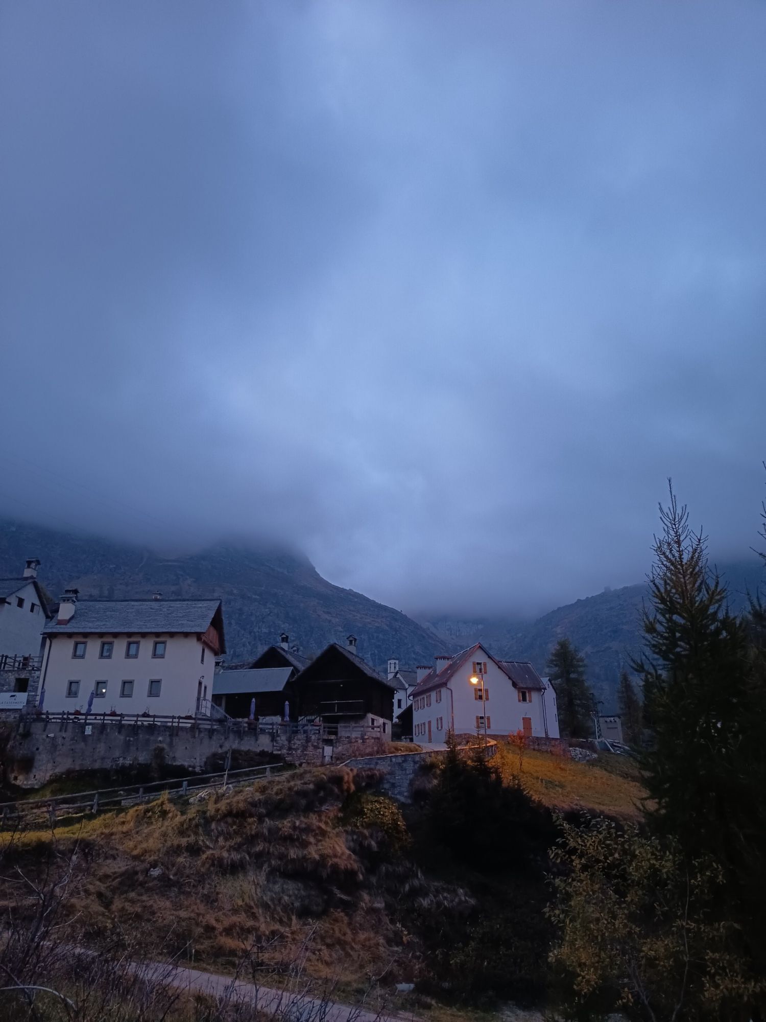
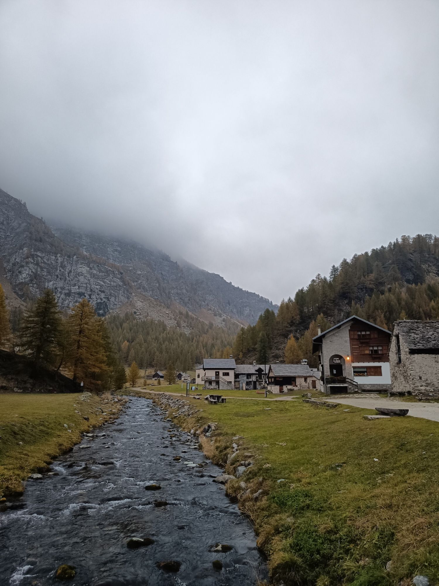
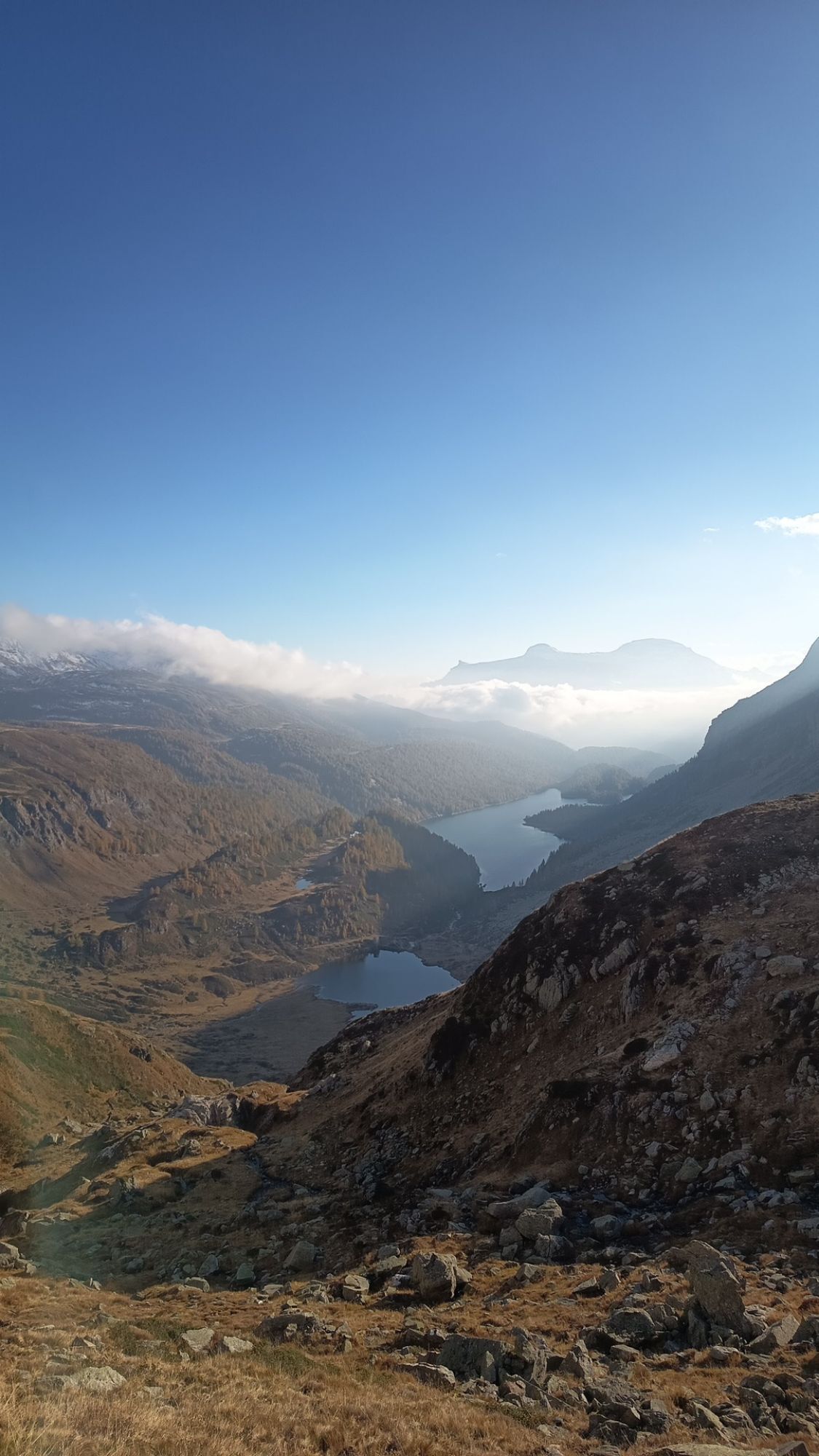
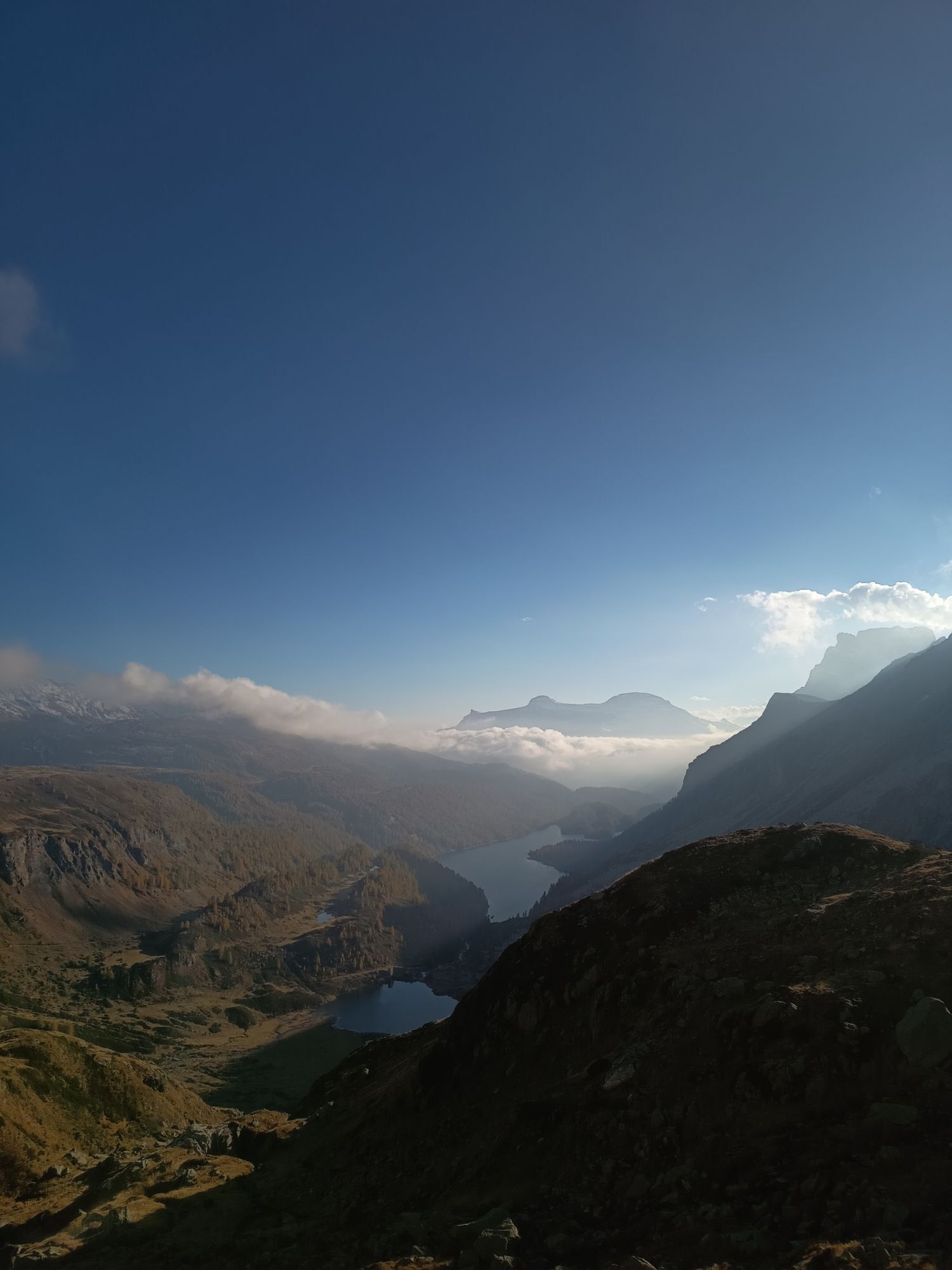
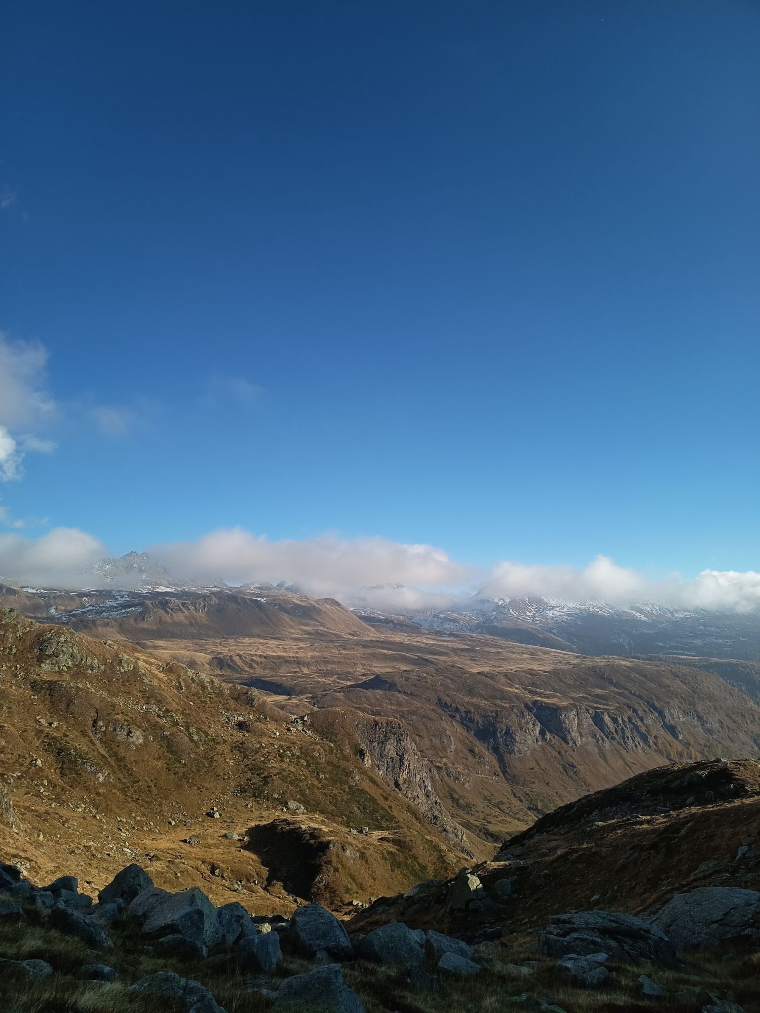
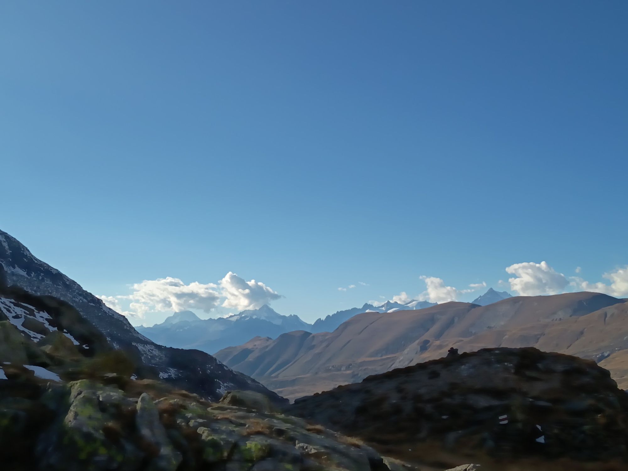
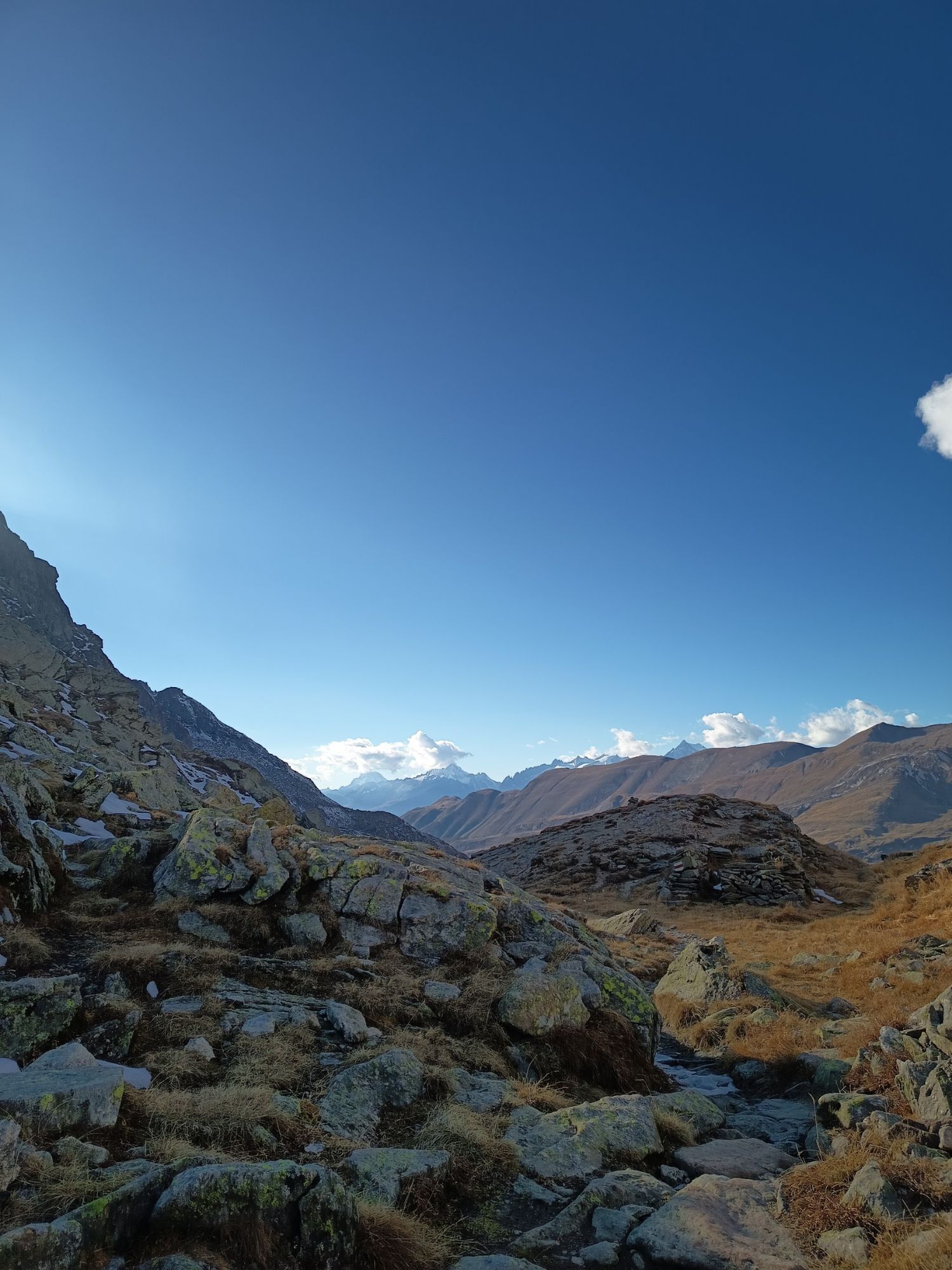
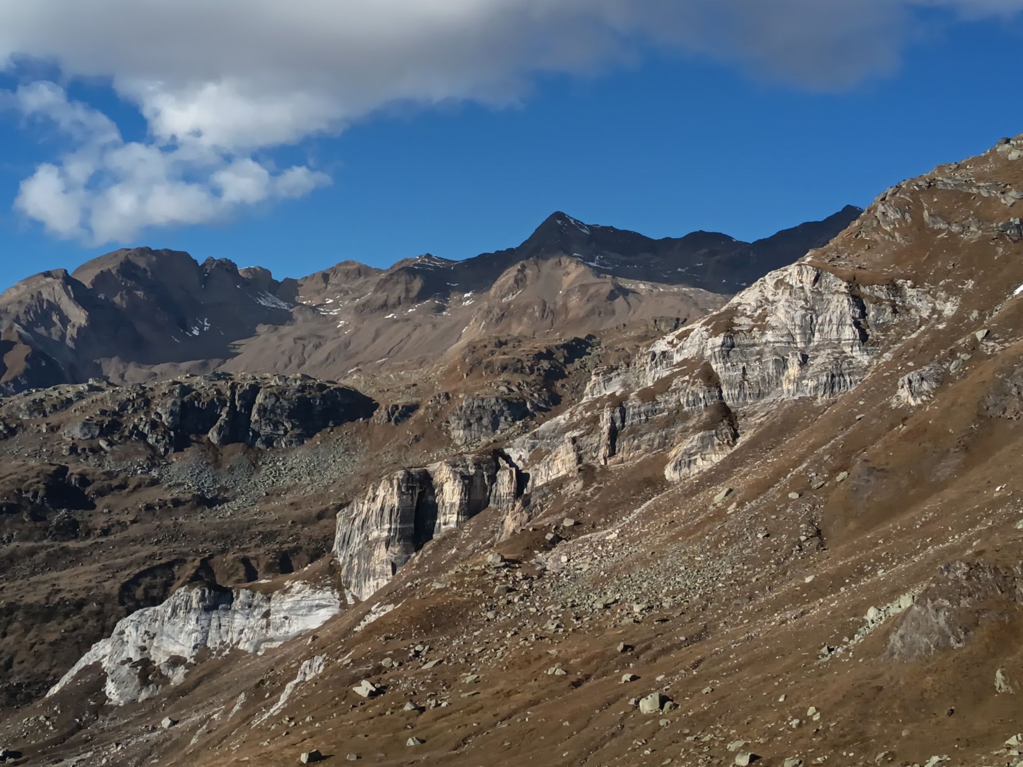
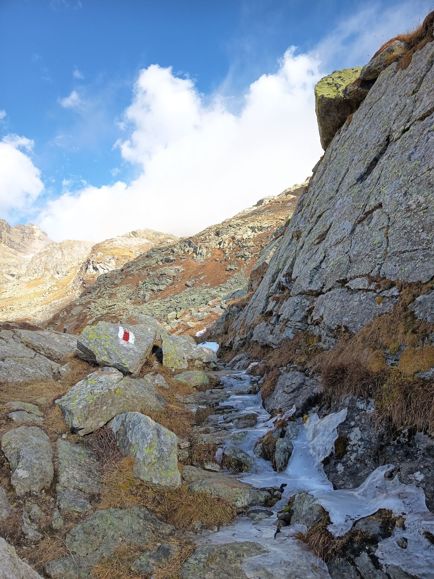

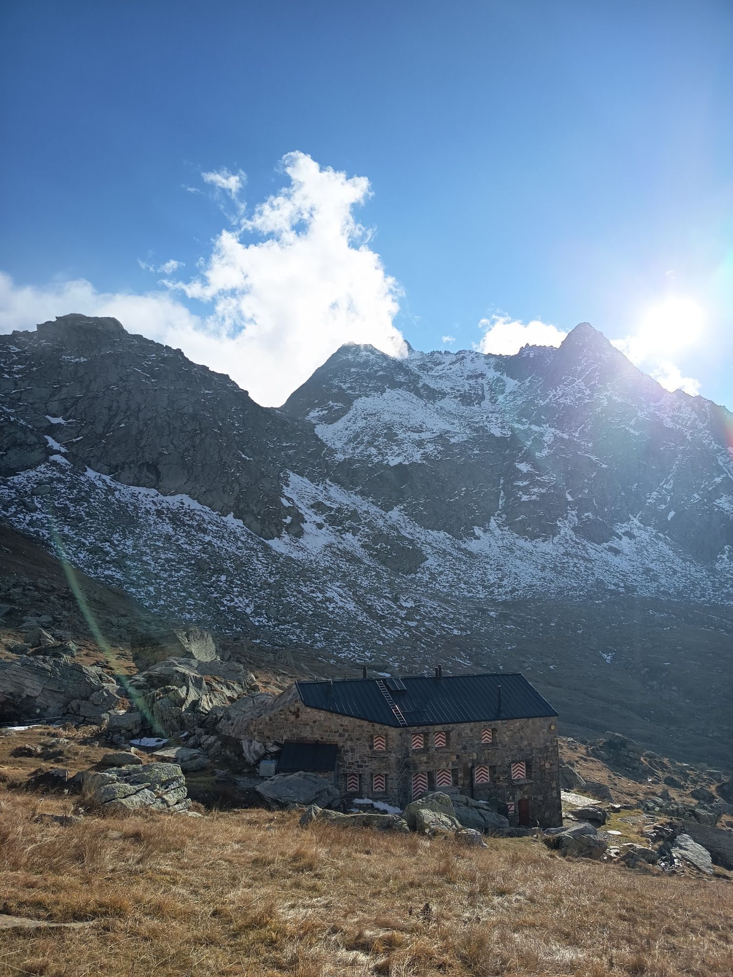
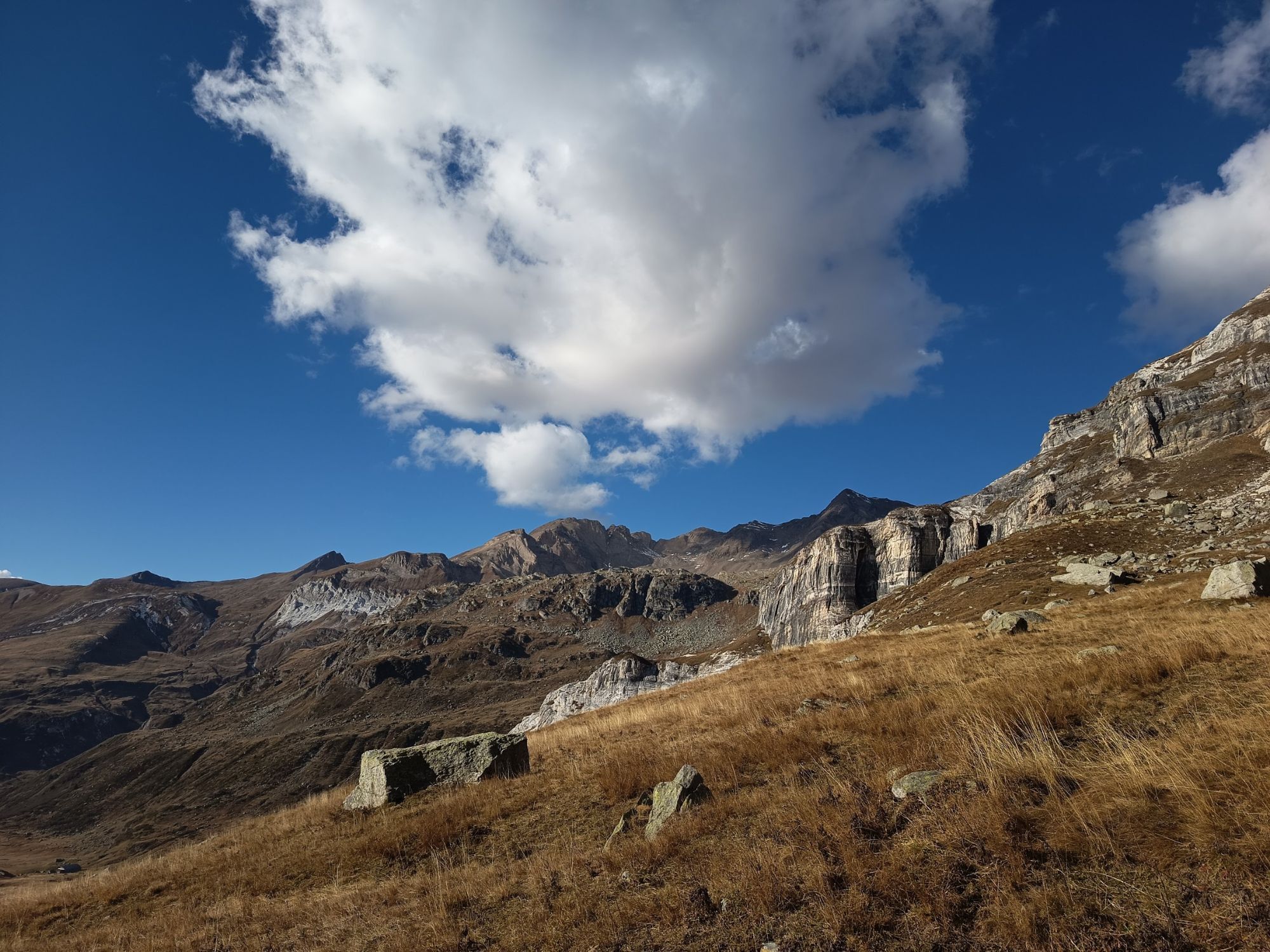
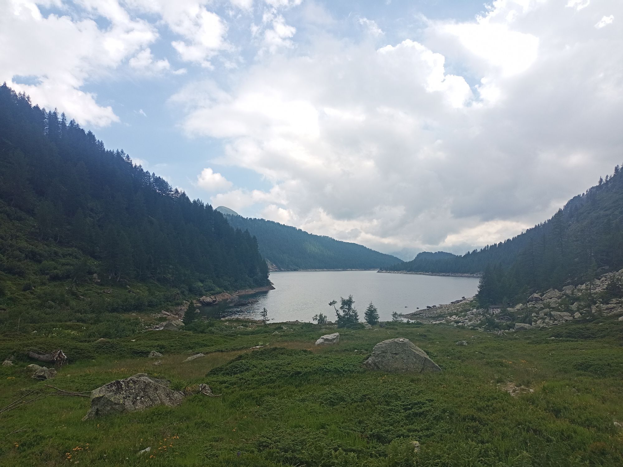
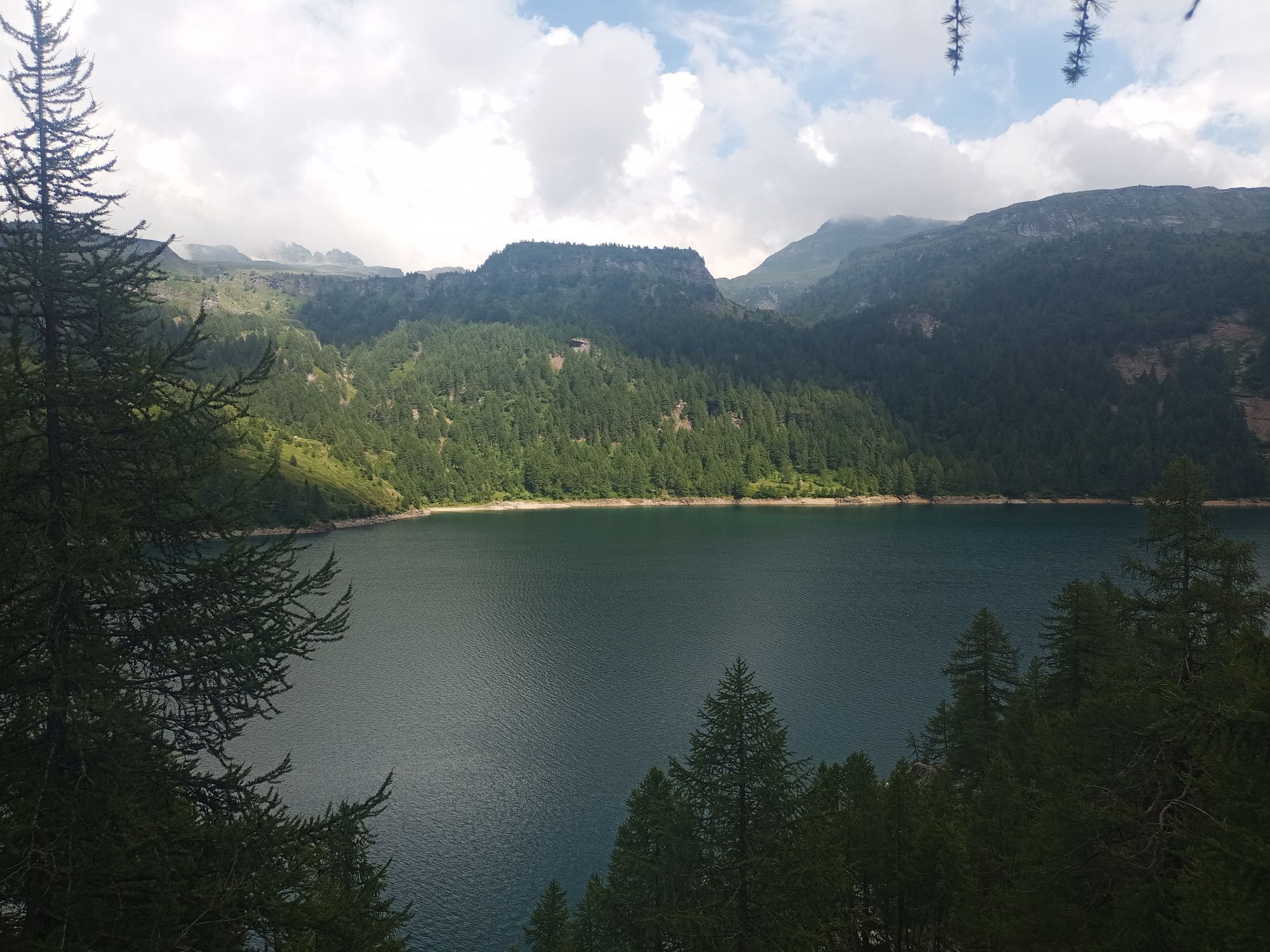
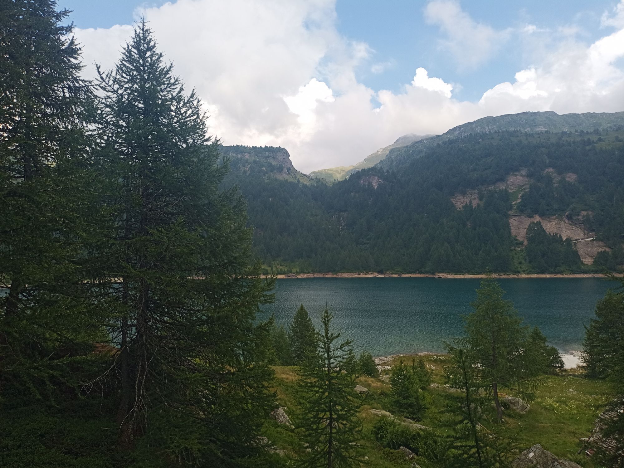
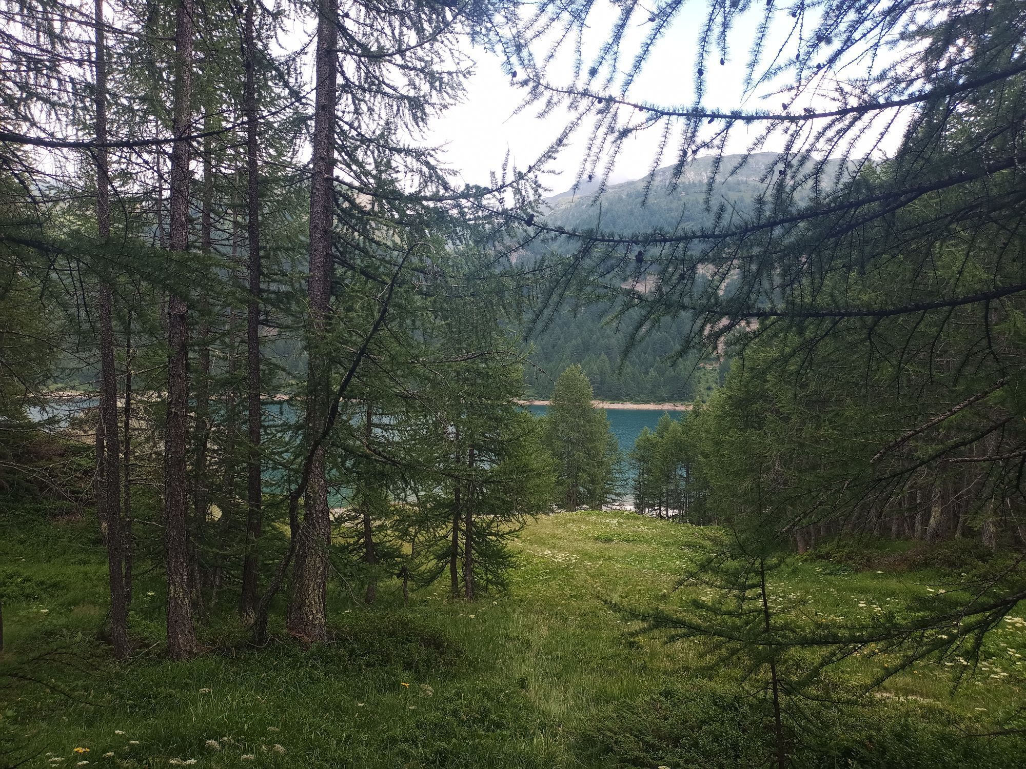
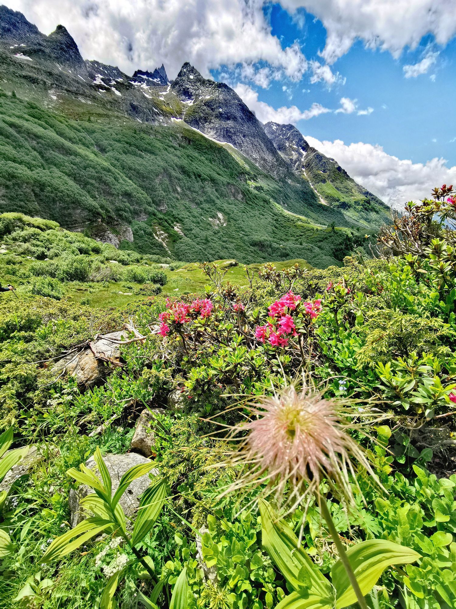
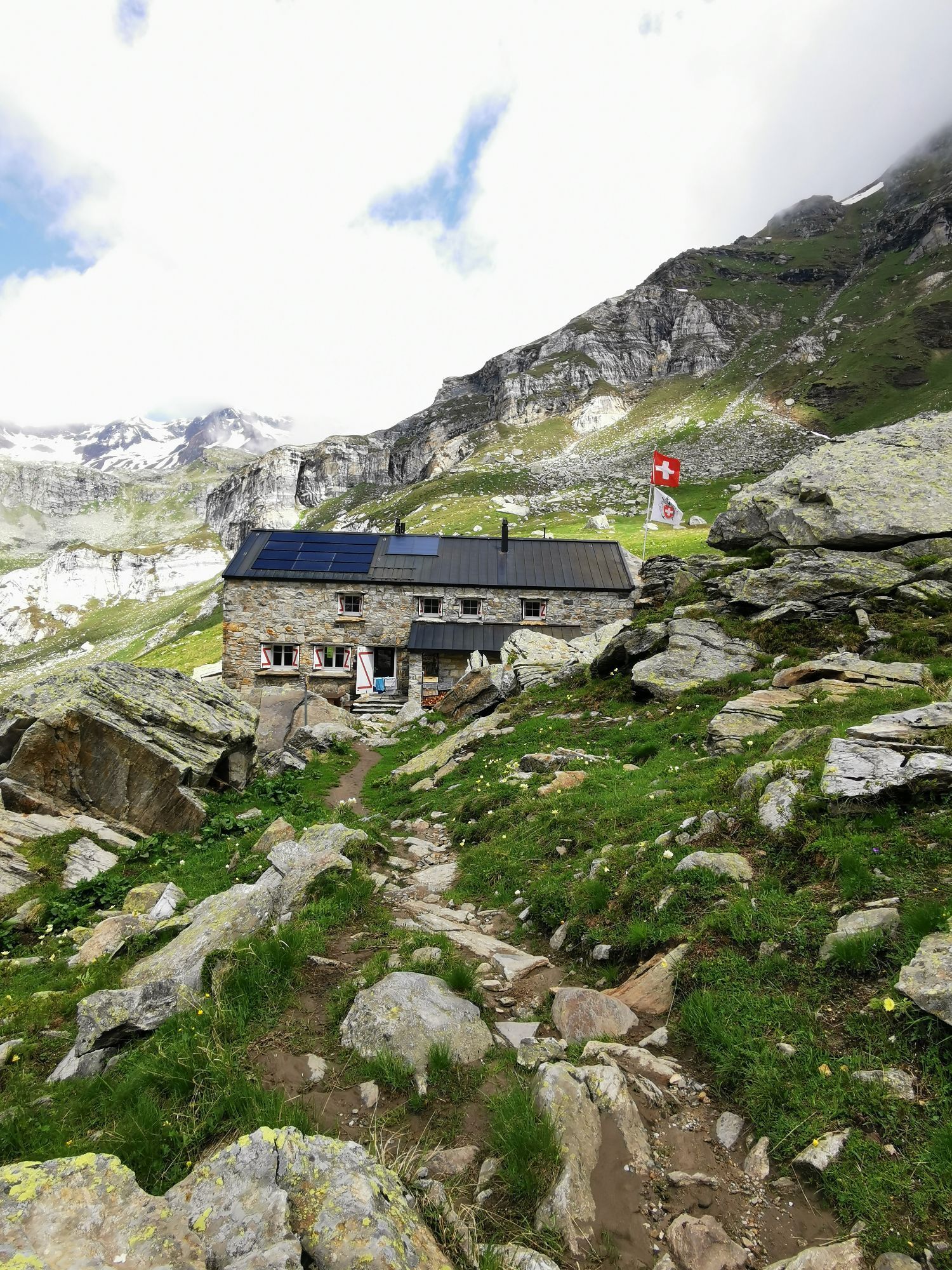
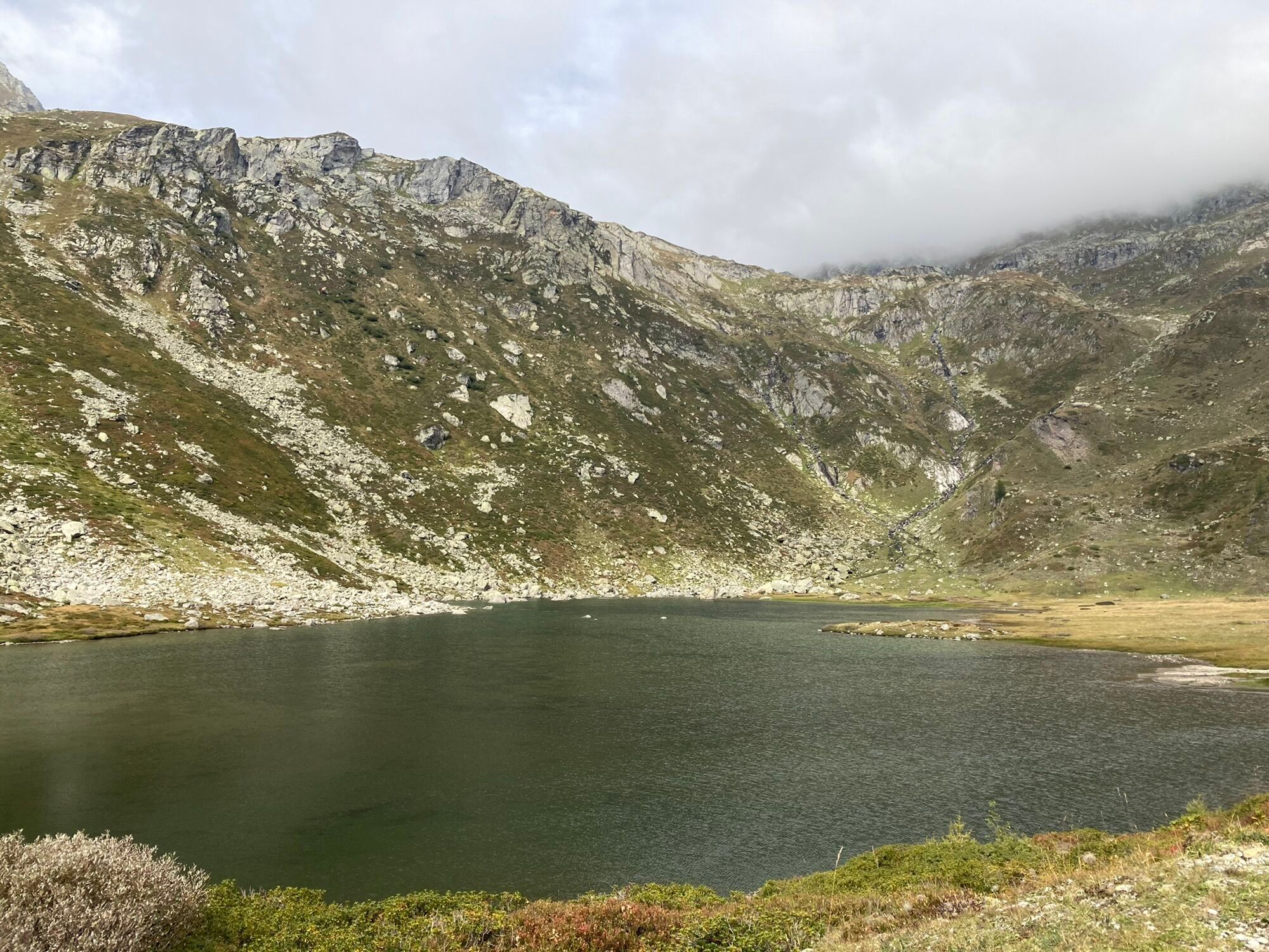
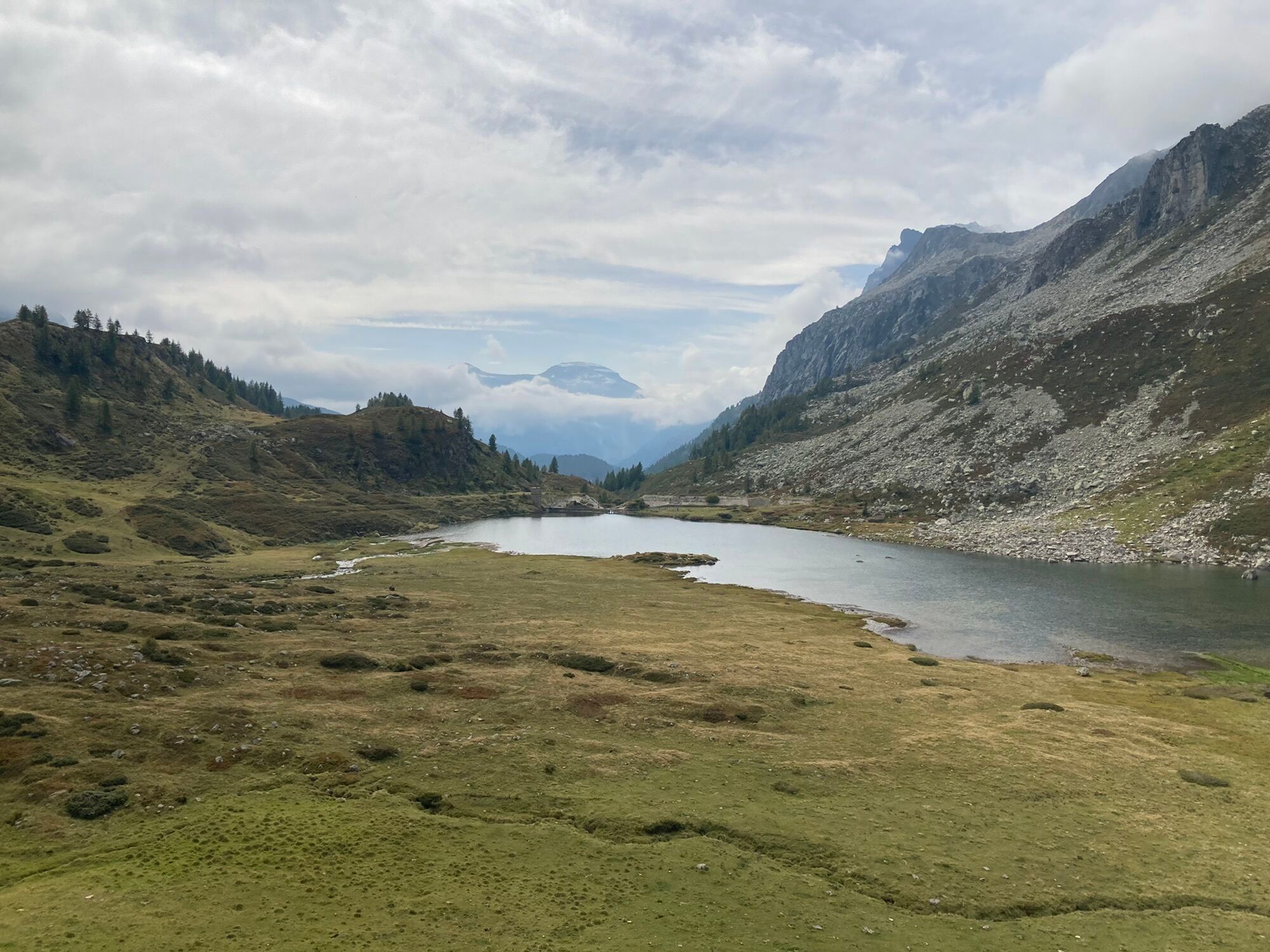
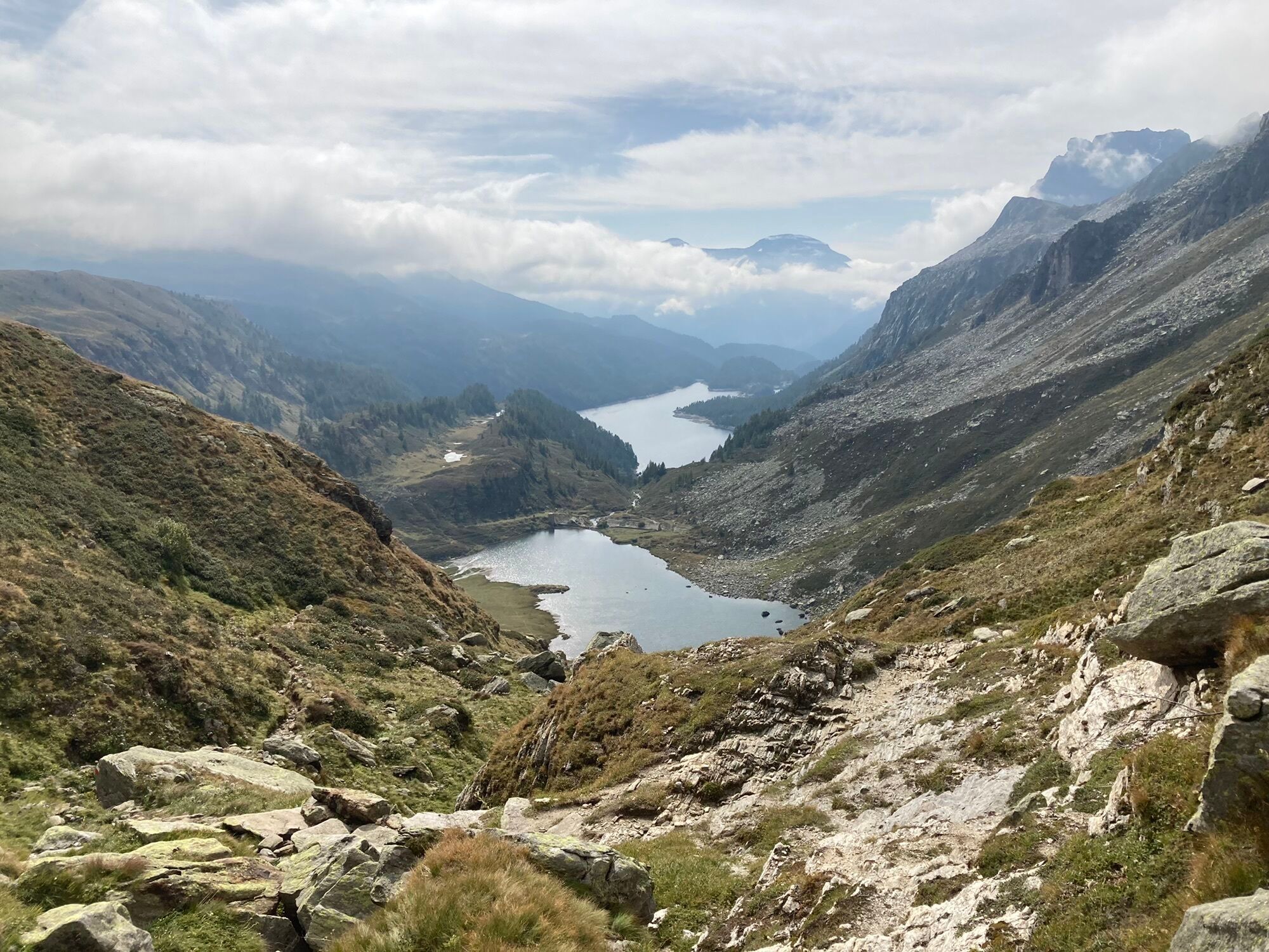
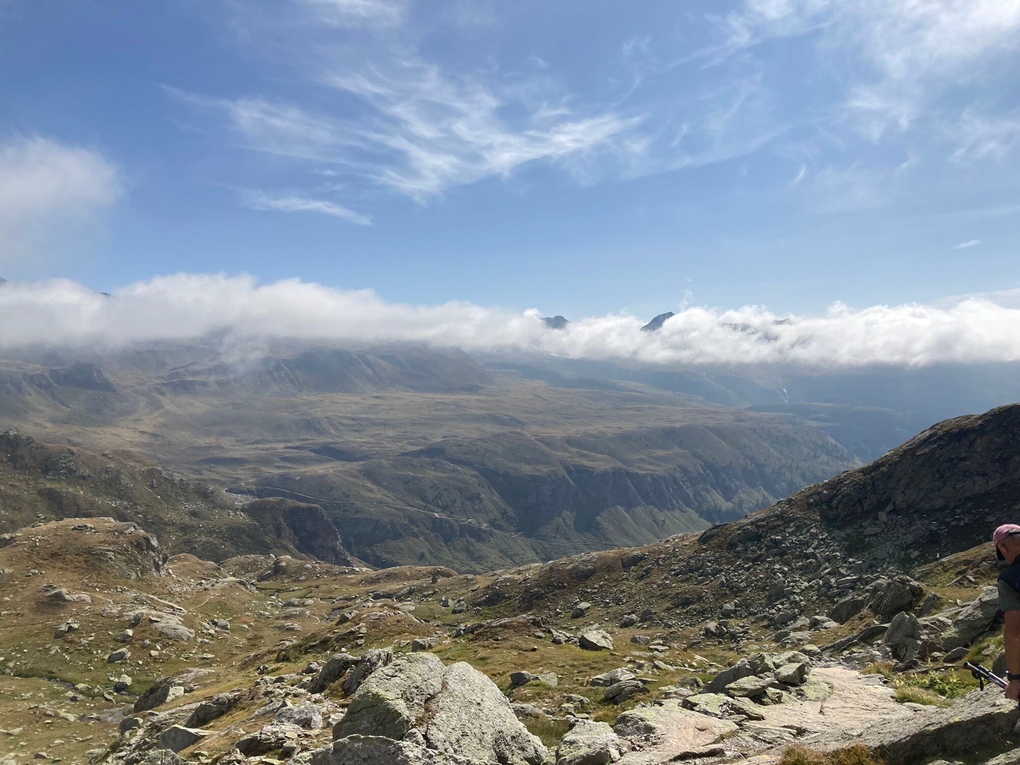
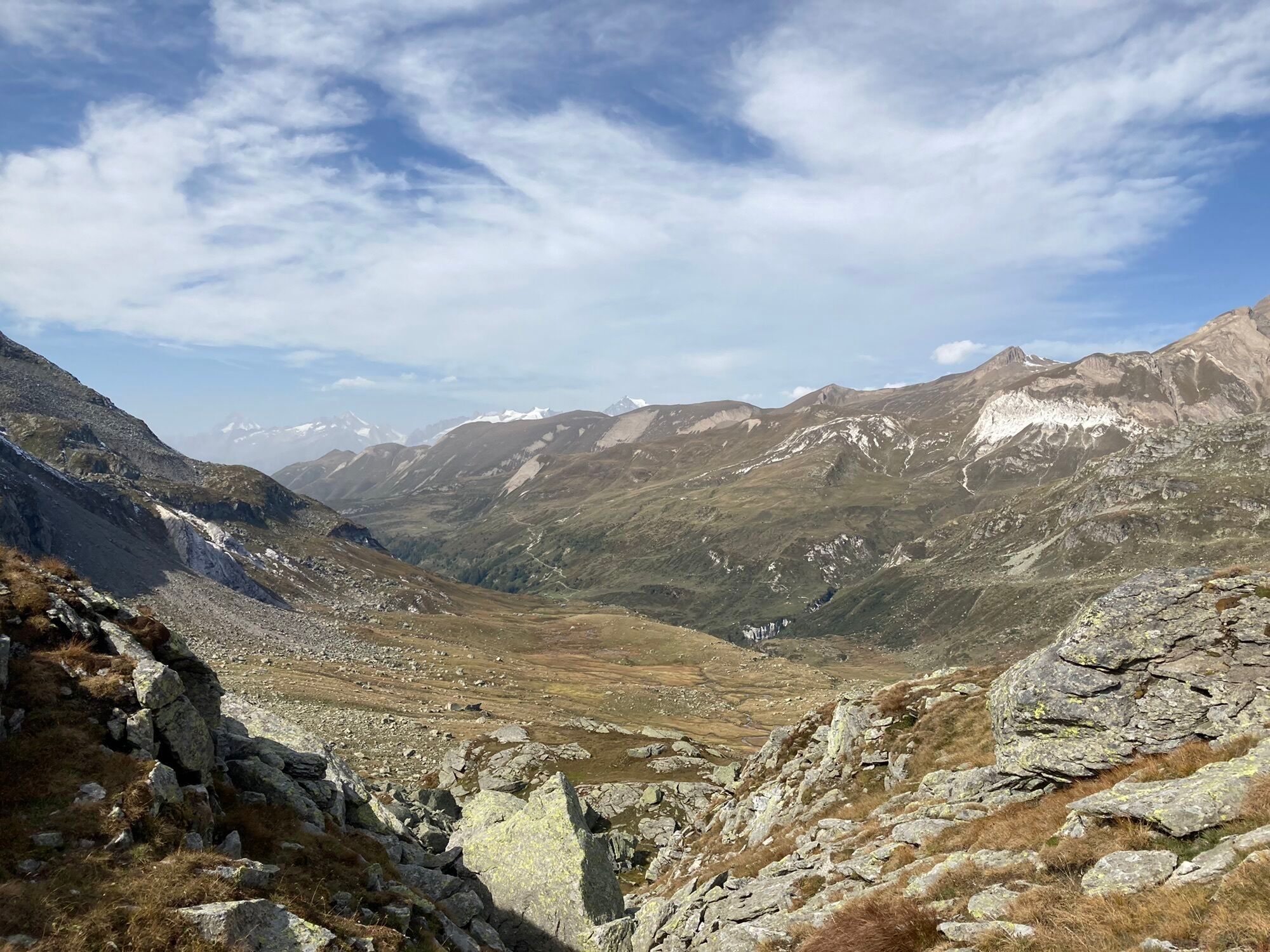
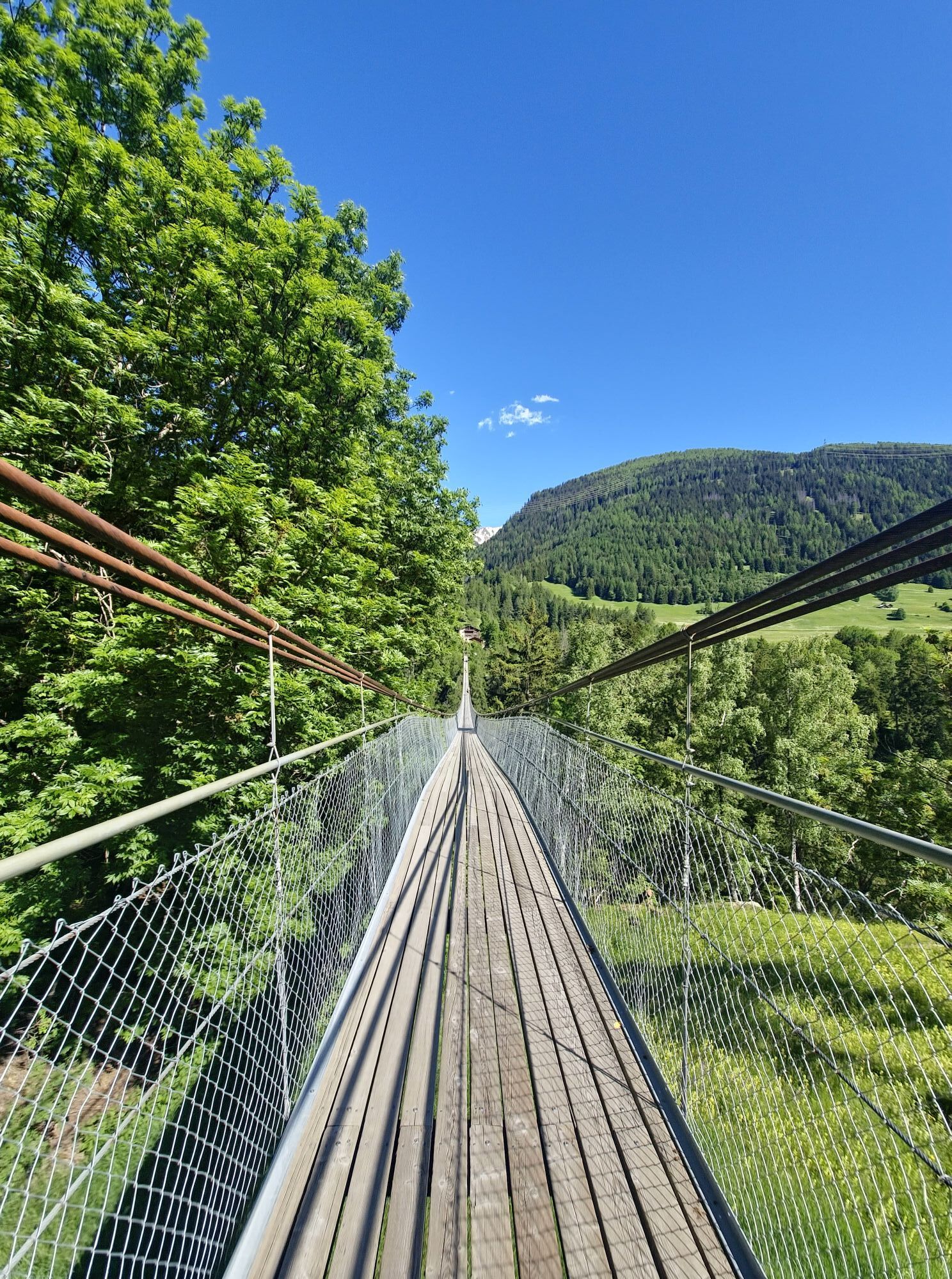
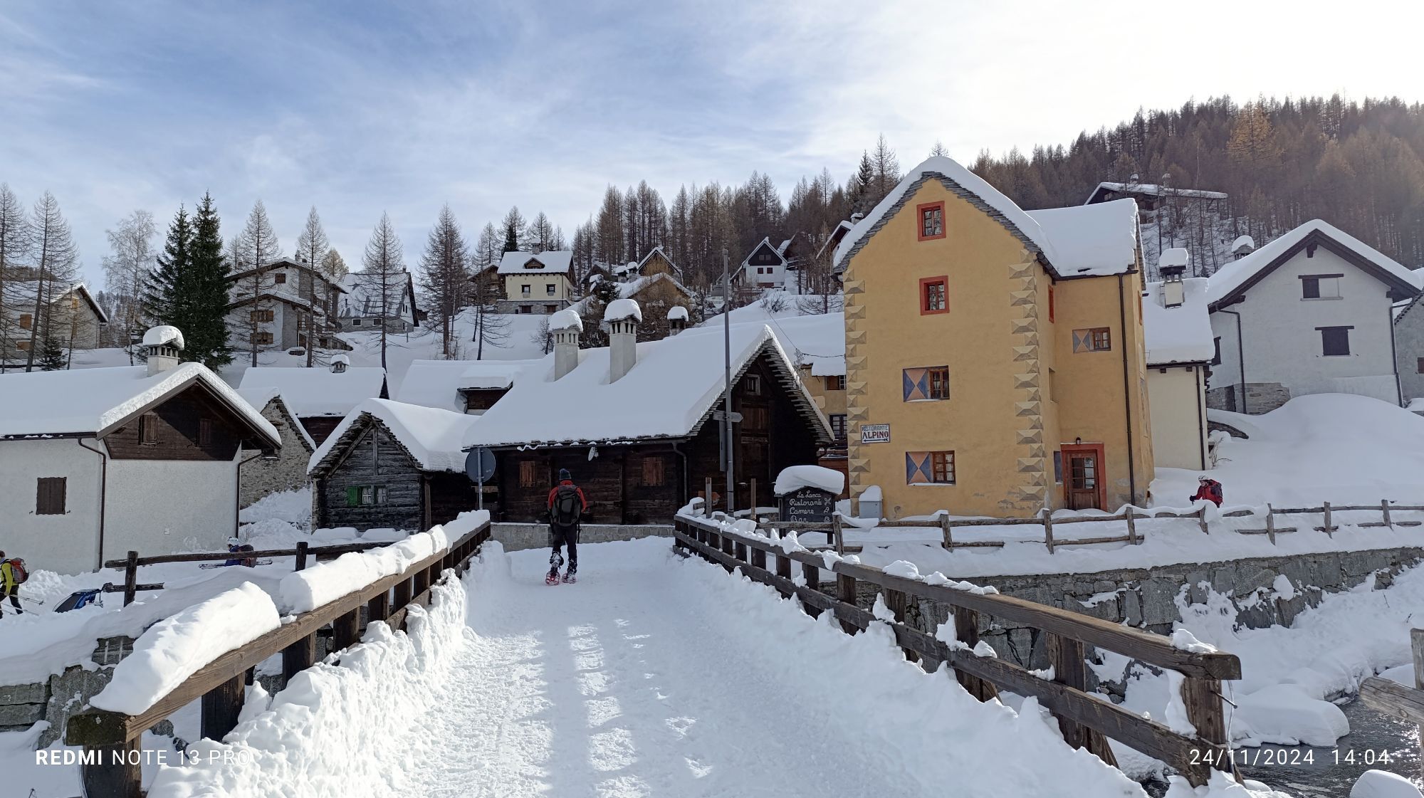
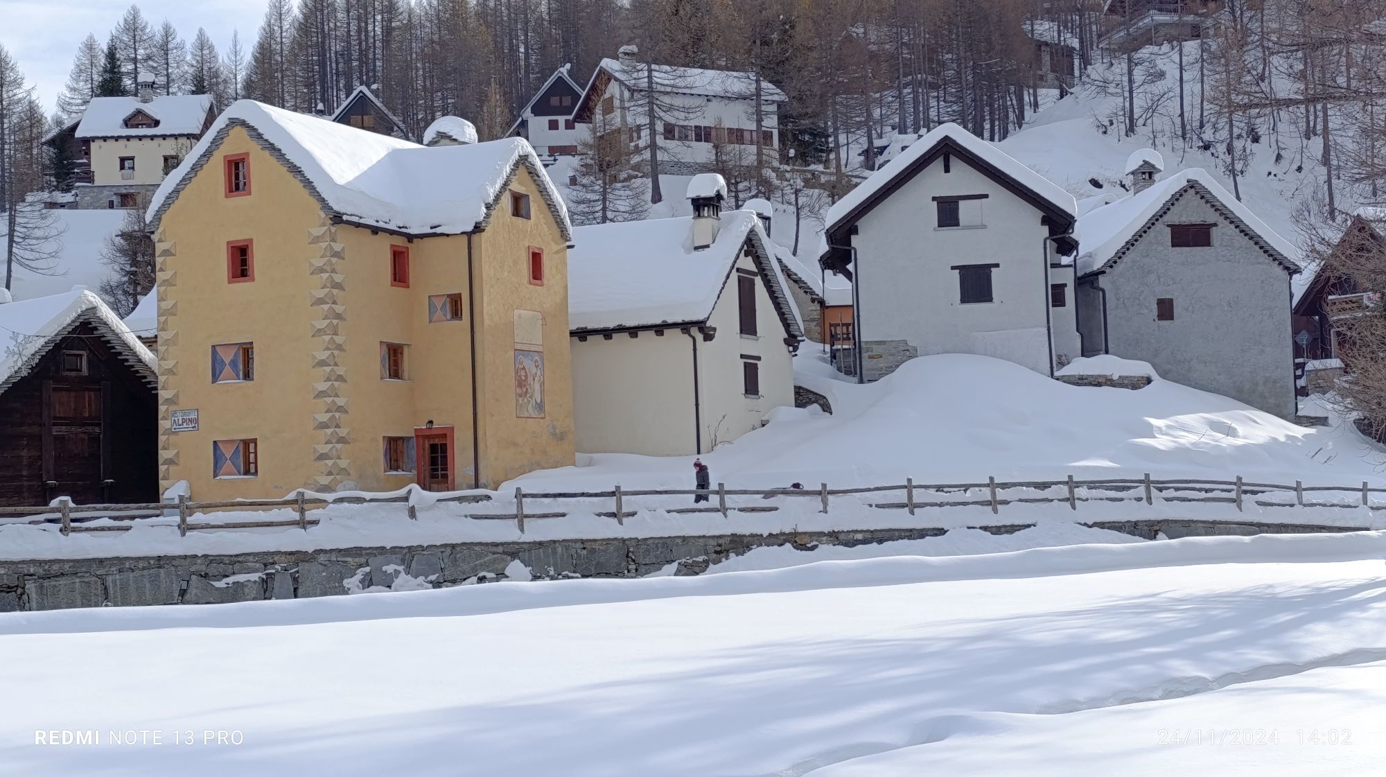
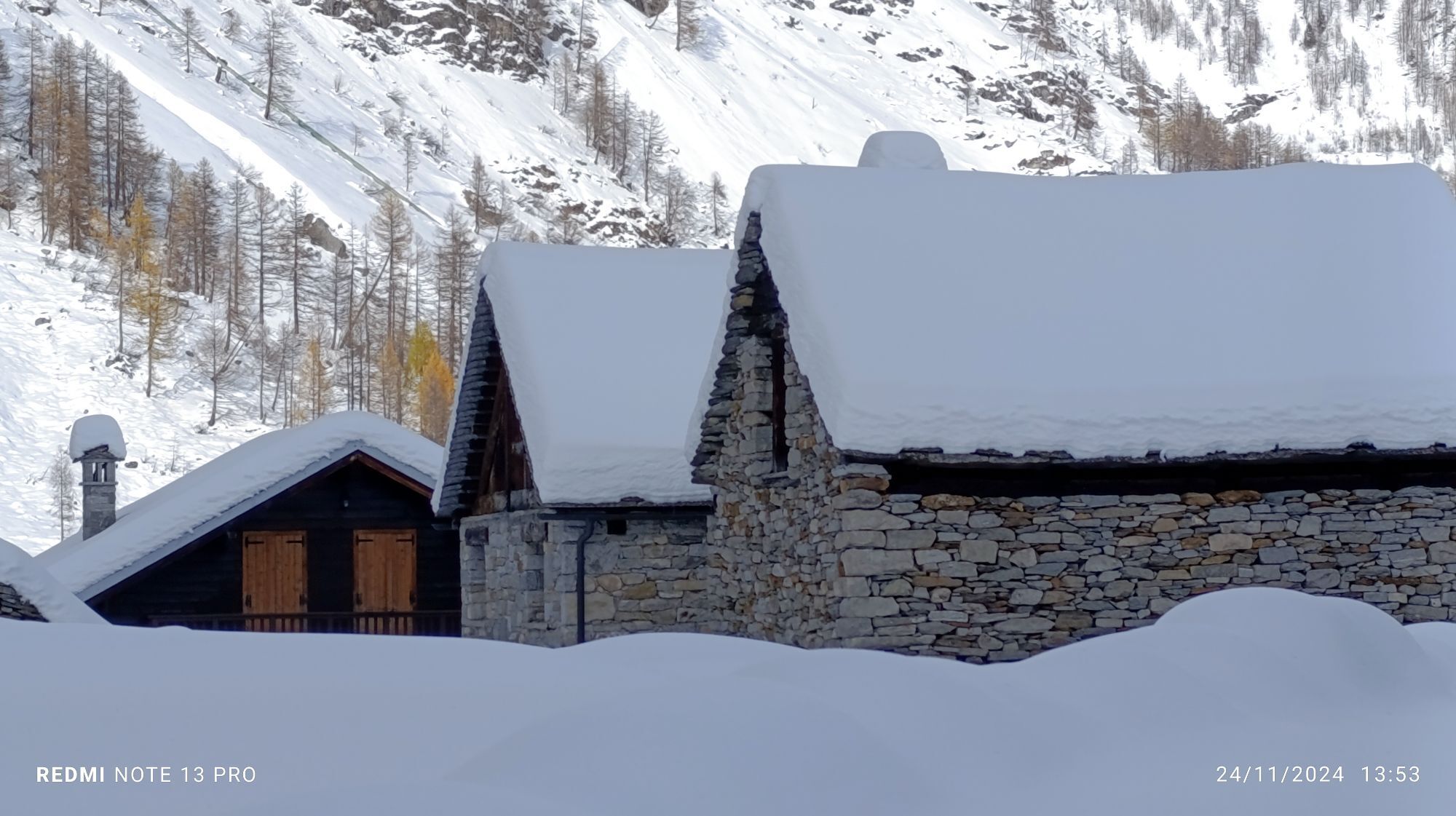
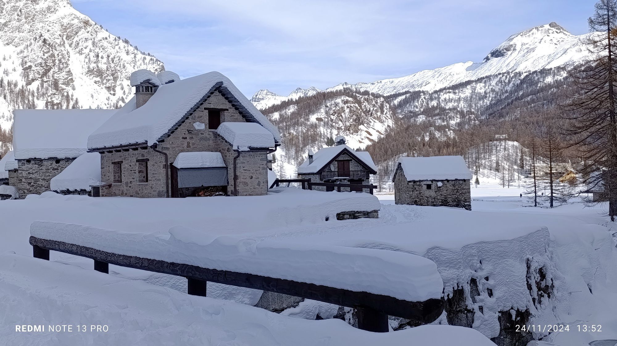
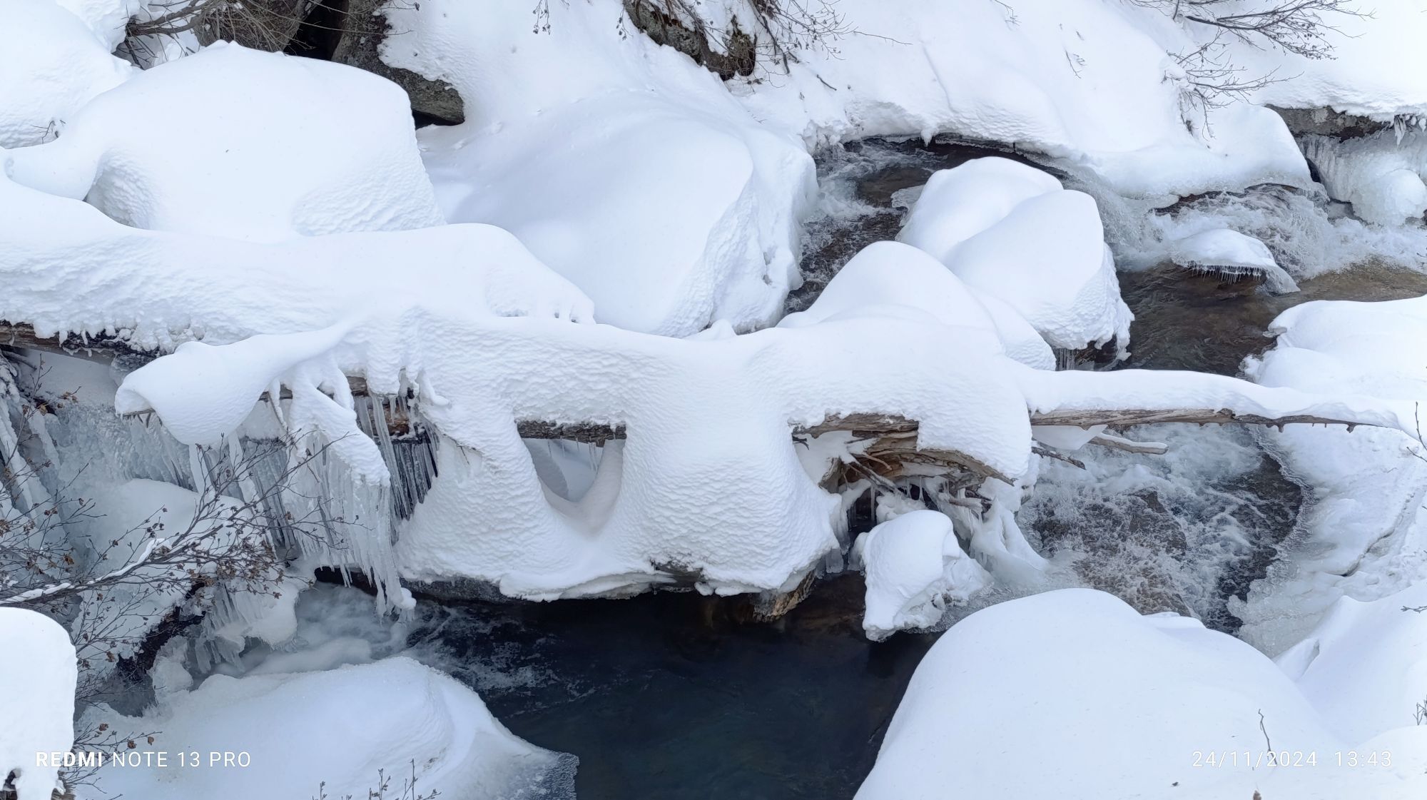
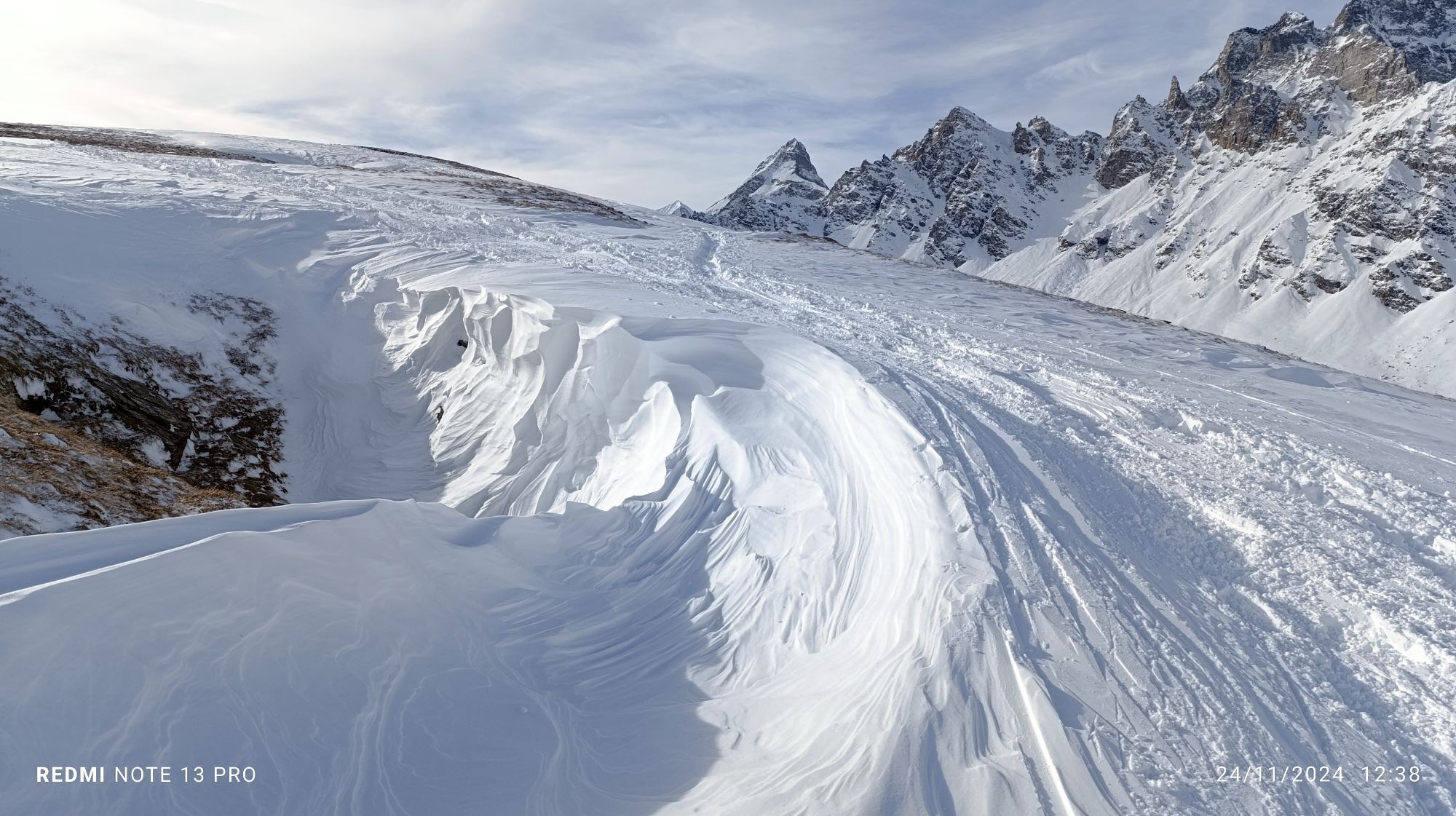
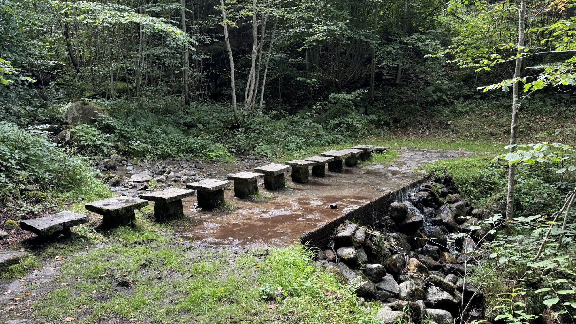

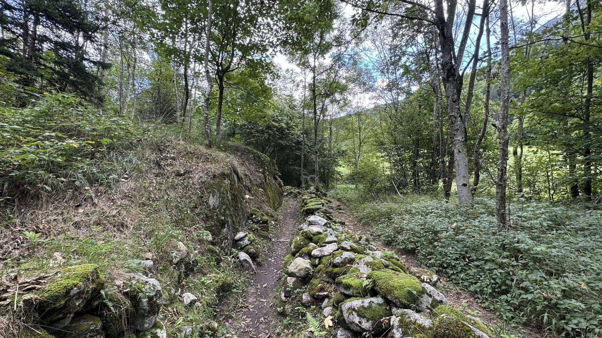
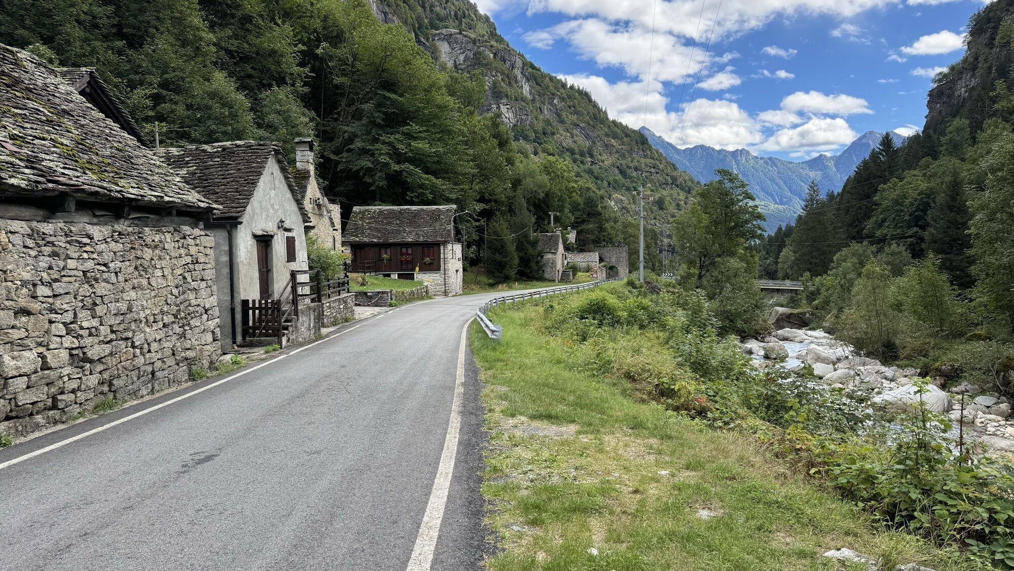
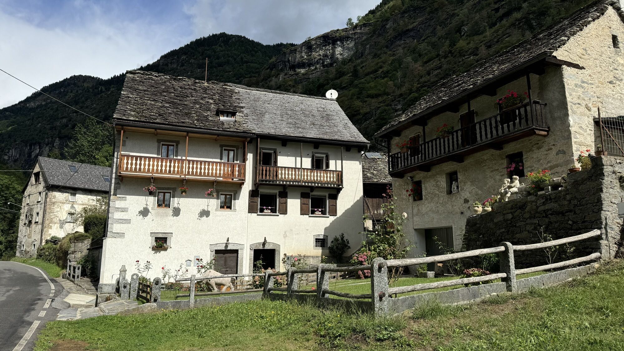
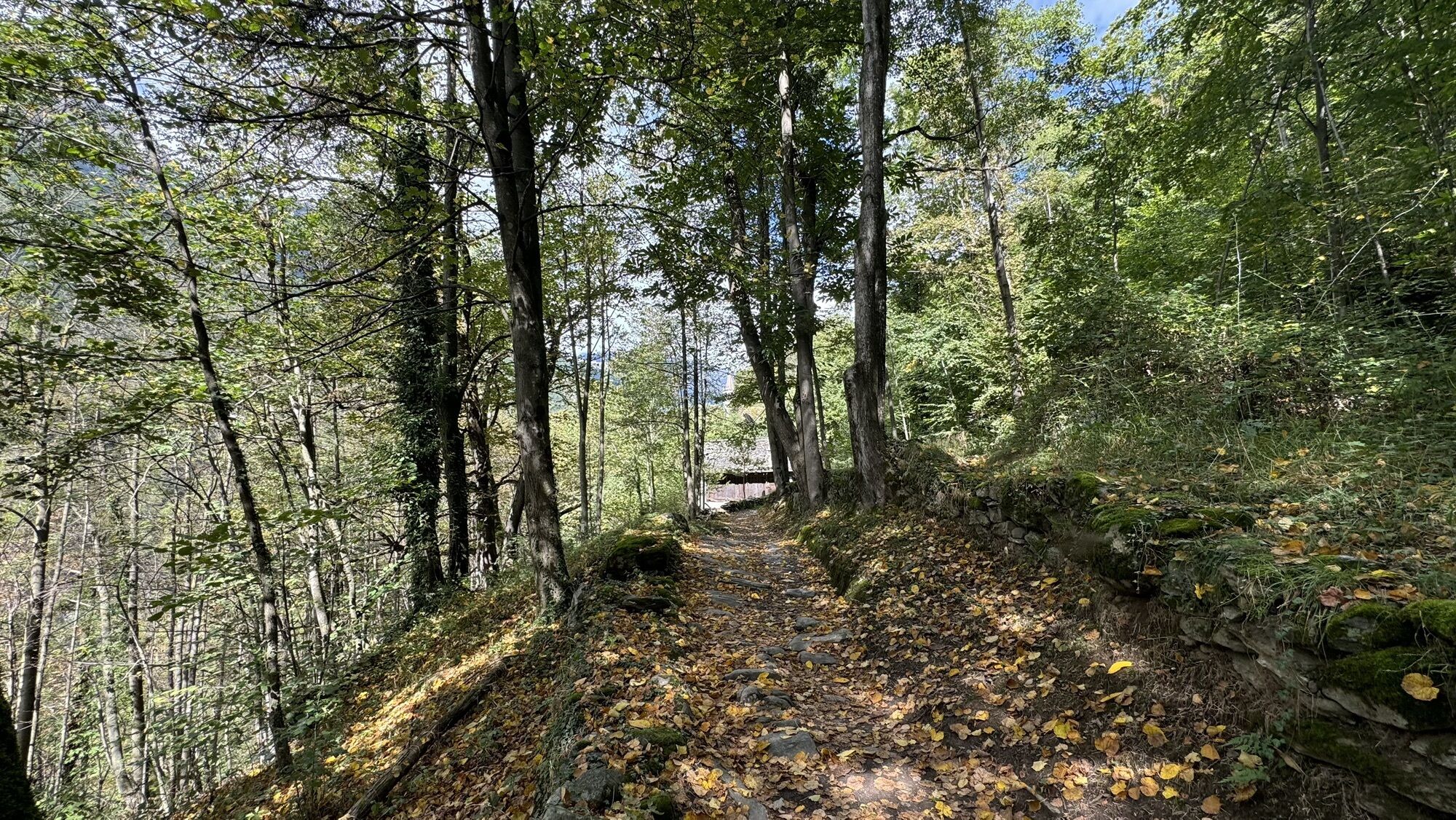
The ancient Via Arbola is one of the “Cultural Itineraries of regional interest in Switzerland.” It can be done in three stages and part of the route still follows the ancient paved mule tracks. The “Antigorio...
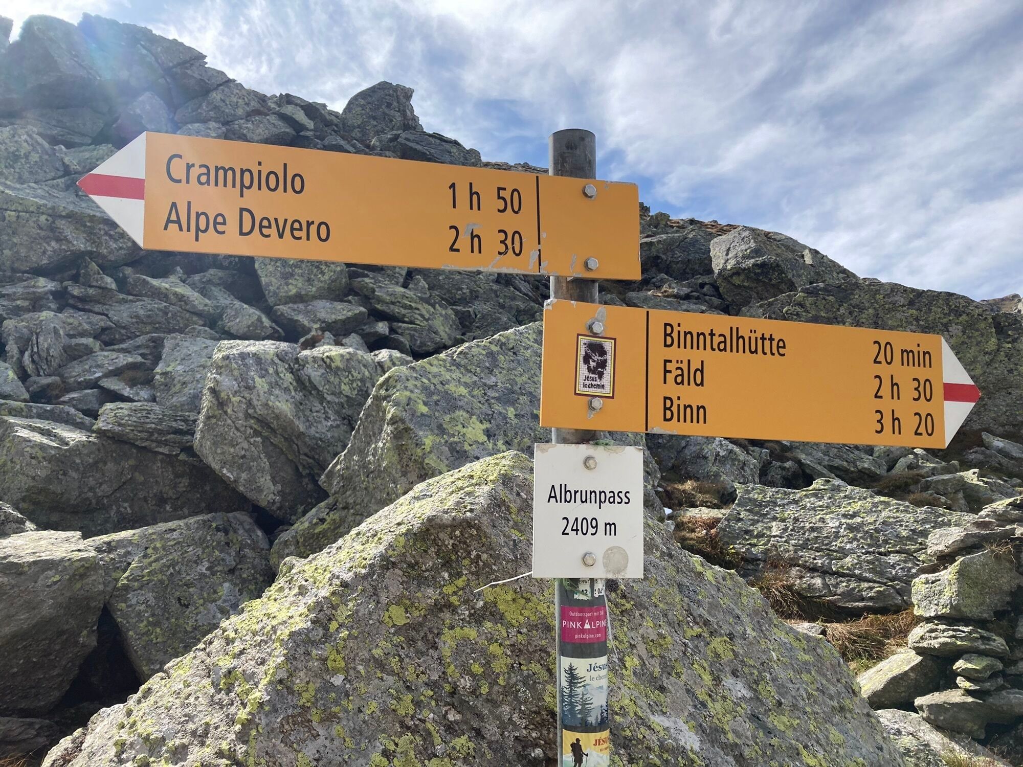
The ancient road that led from the Ossola valley floor to Valle di Binn and thus to inner Switzerland through the Arbola or Albrunpass (2409 m), is very significant for the history of transiting through the Alps. Arbola is the lowest and easiest pass in the Lepontine Alps, second only to the Sempione on the Ossola mountains. Instead, the Boccareccio, the Cornera and the Rossa Pass are made difficult by imposing rock ramparts that make it difficult for people to access and impossible for pack animals. The paved Arbola mule track allowed long convoys of pack animals loaded with goods, to transit across the Alps. The Lepontine Alps, not far from the Gotthard, from which rivers are created and flow down in the direction of the four winds, were always a fundamental orographic junction in the Alpine road network: the Arbola leads to Binntal, the Gries leads to Hasli and then to the Oberland, Passo San Giacomo (the "Valdolgia mountain") leads to Airolo and Ticino. For many centuries, the "strada Antigorio" to Baceno, Devero and Arbola (the "lower pass" to distinguish it from the upper or "glacier pass" made up of the Gries) was the main commercial arterial road between the Valais and Lombardy. So much so that even ancient maps define the Arbola as a "pass towards Lombardy" (Pass gegen Lombardy, Sebastian Munster, 1550) or "pass to Milan" (Pass auf Mailand, Gabriel Walser, 1768). In the centuries of the Middle Ages, when men began to cross the high Alpine passes to exchange goods and ideas, the stops at Baceno and Ernen grew in importance. The villages at the foot of the pass (Baceno, Binn, Ernen) are considered by historians as "pass settlements" where the trade function was combined with the pastoral one. Until the 13th and 14th centuries, when the gorges of Gondo on the Sempione were equipped with wooden footbridges anchored with chains to the rock, the Passo dArbola was the "gateway to Lombardy": wheat and wine, silks and spices went up North from the East; salt, cheese and cattle went down to the South. Dynasties of merchants grew up in Baceno and Croveo and travelled through Alpine Europe, also taking smuggled salt from the mines of Hall, near Salzburg, to the market of Ernen through the "transversal route" of Passo San Giacomo, Scatta Minoia and Bocchetta d'Arbola. They developed a branched network of transalpine relations with the Swiss cantons of Uri and Unterwalden. They crossed the high passes and owned meadows and pastures to feed their herds bought in Switzerland and to be sold at the Lombard markets. They also owned cellars where they stored wine and cheese. The route of the ancient Via dell'Arbola - Via Albrun is one of the Cultural Routes of regional interest in Switzerland.

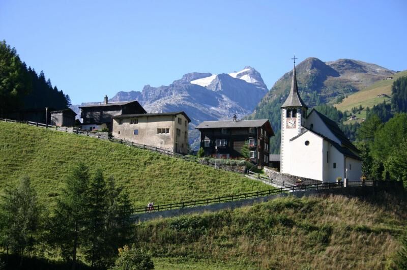
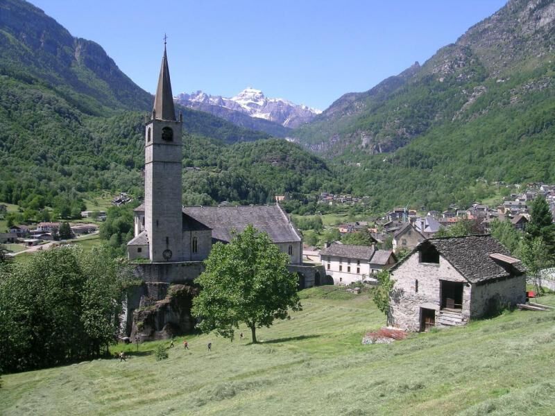
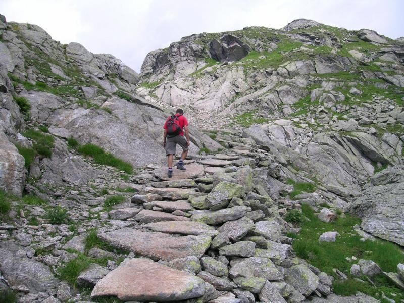

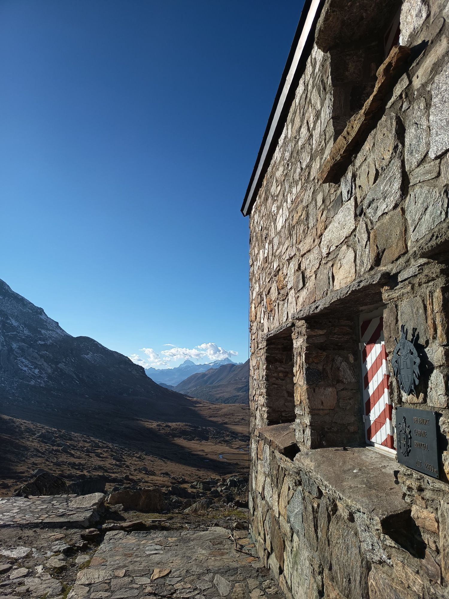
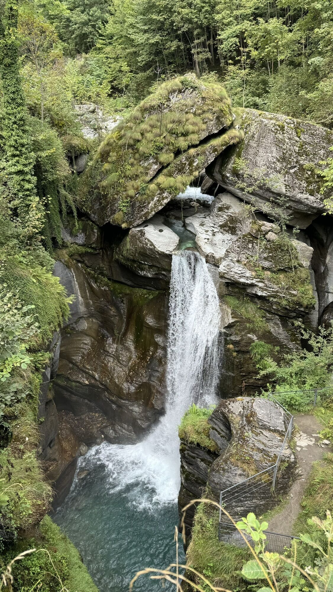
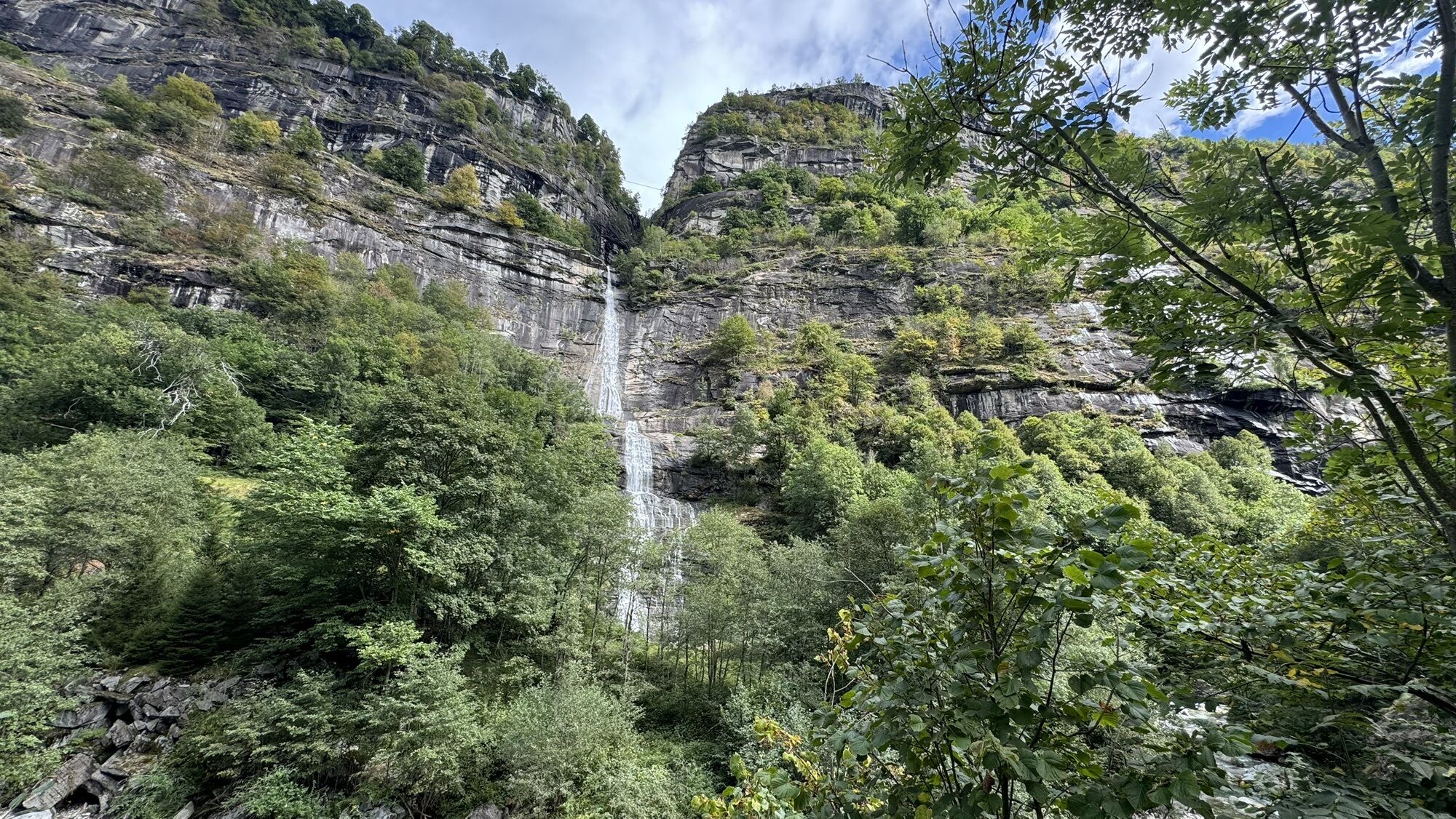
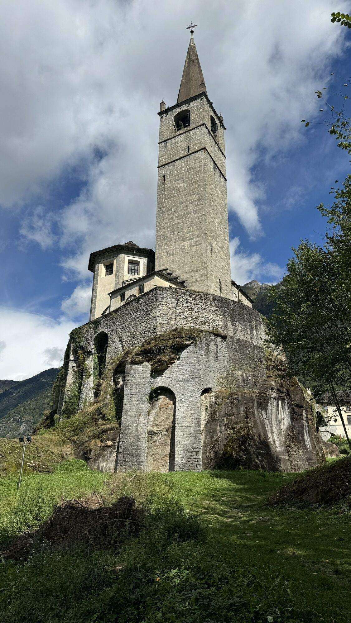
From the Baceno sports field you can first reach Graglia, then Croveo, Osso, the locality “al Passo”, Goglio and Alpe Devero. The itinerary passes (from Baceno to Croveo and from Goglio to Devero) on beautiful paved mule tracks and touches on some points of notable interest: the Church of Baceno (national monument), the parish church of Croveo, the Croveo press, the potholes of Croveo, the Agaro waterfall, and the Devero plain. The following day you reach, on a beautiful path in the woods, Crampiolo, Lake Devero, then Lake Piamboglio and climb up to the Bocchetta d'Arbola (Albrunpass), you begin to descend into Swiss territory through the Binntalhütte and crossing the Blatt and Oxefeld peat bogs you reach Freichi and, still on the path, the beautiful Walser villages of Fäld and Binn. From Binn on the third day you can continue in less than three hours to Ernen, where you can reach Fiesch, Brig and finally Domodossola by public transport.
Considering the route takes place mainly at altitude, useful mountain clothing: trekking boots, fleece, trousers and windbreaker in technical fabric.
By car: A26 motorway towards Gravellona Toce, from here SS33 del Sempione, pass Domodossola, take the exit for Valle Formazza, pass Crodo and shortly reach Baceno
By bus: bus to Baceno, Domodossola - Cascata del Toce line. Timetables: www.vcoinbus.it
Every year on the first Saturday in August, the people of Baceno and Binn meet at the Bocchetta d'Arbola to renew the centuries-old friendship and collaboration between the two communities.
Kamery internetowe z trasy

Popularne wycieczki w okolicy
-
4,8
Ciaspolata al Rifugio Maria Luisa
średniRakieta do chodzenia po śniegu 11,2 km -
5,0
Aletsch Sightseeing
średniWędrówka zimą 15,5 km -
5,0
Toce Waterfall - Riale - San Giacomo Pass road
średniWędrówka 10,9 km -
4,5
Hike to the Glacier View in Bellwald
średniWędrówka 8,86 km -
5,0
Binntal, Twingischlucht- Binn nach Ernen
średniWędrówka 10,6 km -
5,0
Cycling pleasure on the Rottenweg
światłoJazda na rowerze 25,0 km -
4,0
Galmihornhütte hike - «all around beautiful»
średniWędrówka 14,2 km -
5,0
Historic Mountain Routes | Toce waterfall-Riale-Passo San Giacomo road
średniMountainbike 10,7 km -
Alpine Lakes Trek
ciężkiWędrówka 64,1 km -
Cultural route in Münster
światłoTrasa tematyczna 0,54 km
Wędrówki i tropienie


Nie przegap ofert i inspiracji na następne wakacje
Twój adres e-mail została dodana do listy mailingowej.





