





Tornimäen polku, Heinola

The Tornimäen polku in Heinola runs between Karhulampi, Sulkavankoski and Latumaja in varied landscapes partly shaped by the retreat of the Ice Age. The route features new signposts and white trail markings....
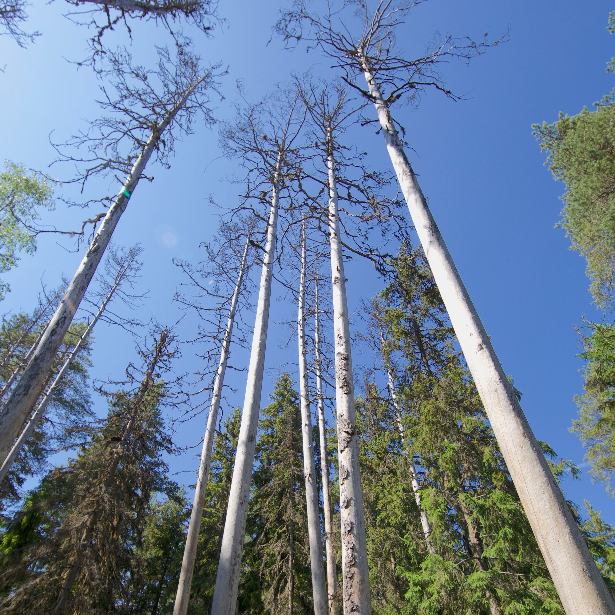
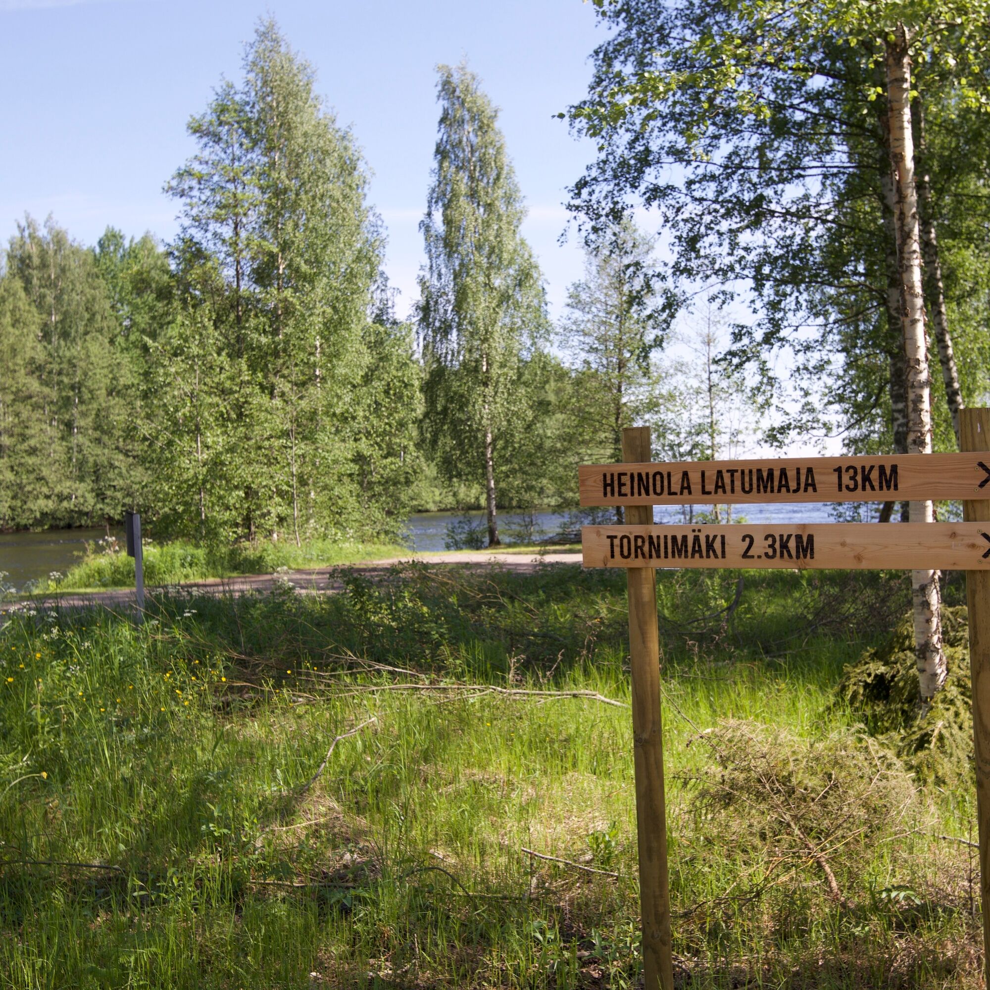
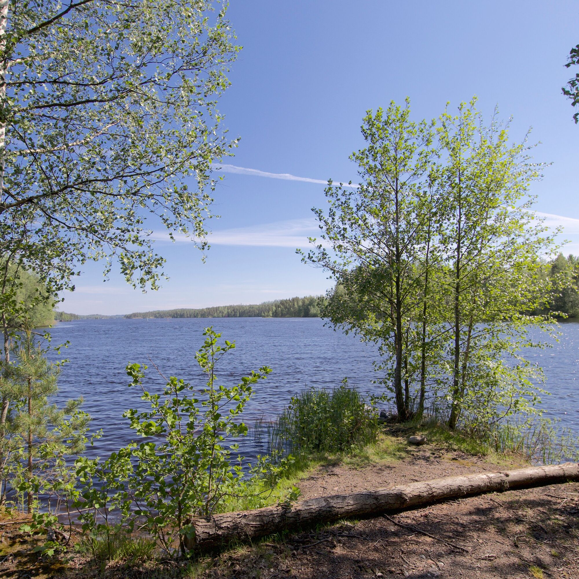
The Tornimäen polku in Heinola runs between Karhulampi, Sulkavankoski and Latumaja in varied landscapes partly shaped by the retreat of the Ice Age. The route features new signposts and white trail markings. The level of difficulty is intermediate. The trail climbs to Tornimäki, from where there are great views over the surrounding terrain and a new lean-to shelter built in the summer of 2021. The shelter is maintained by Heinolan Latu ry.

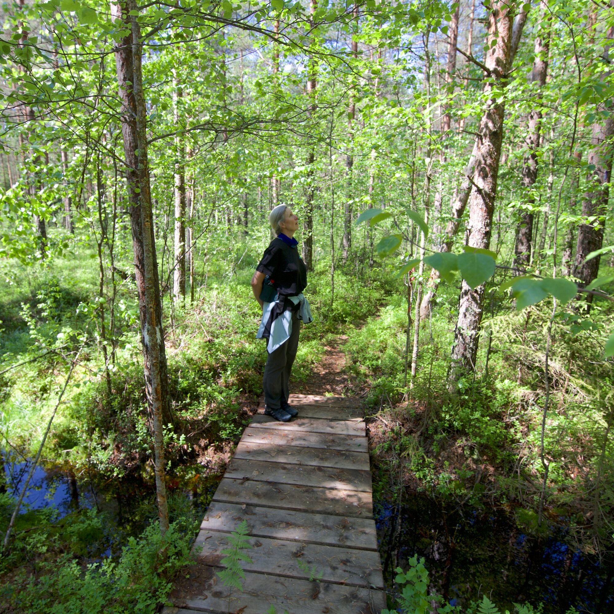
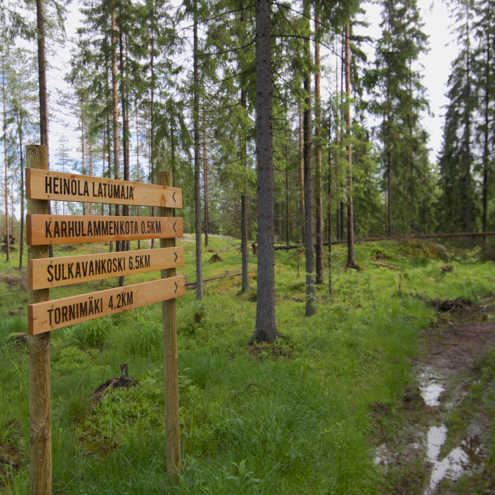
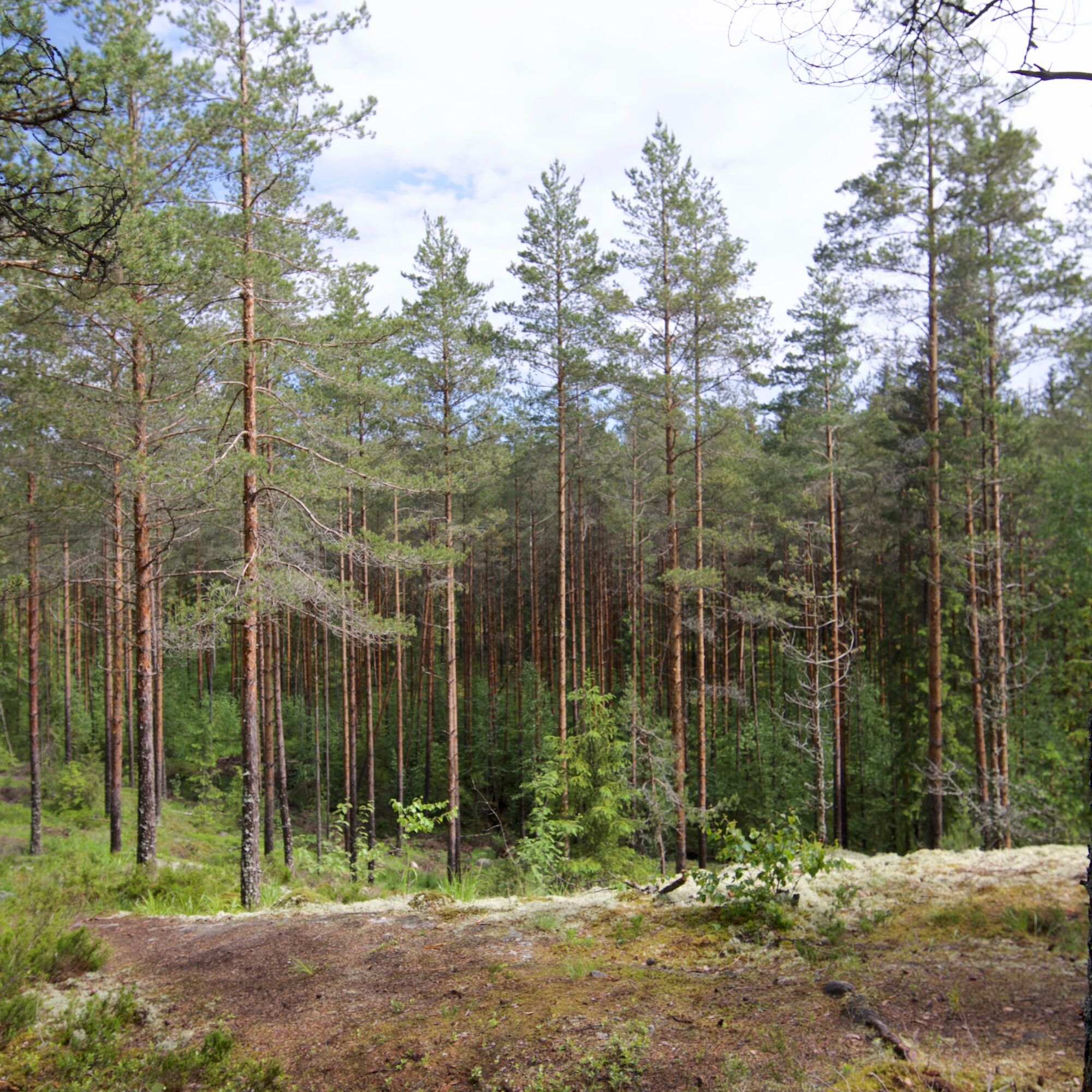
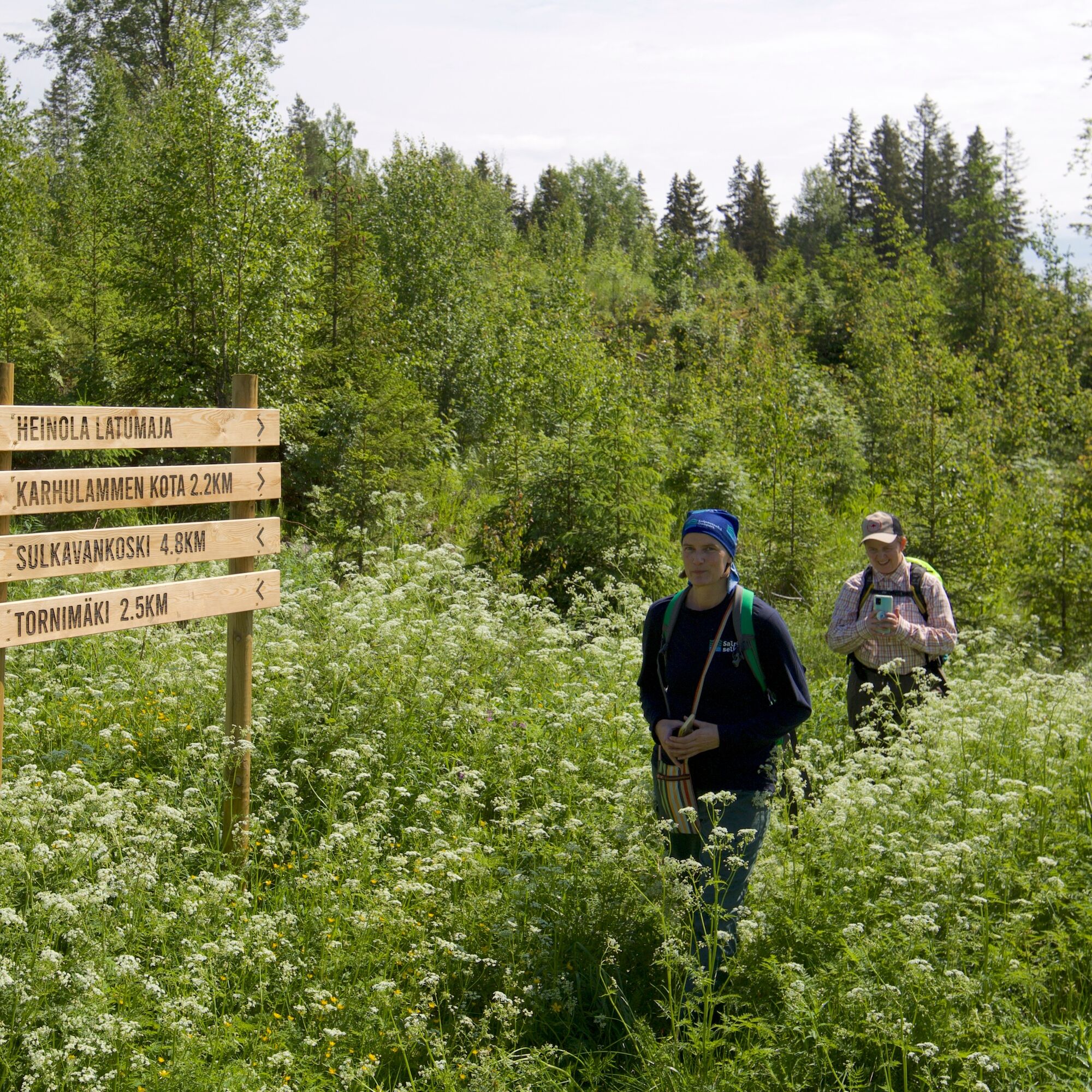
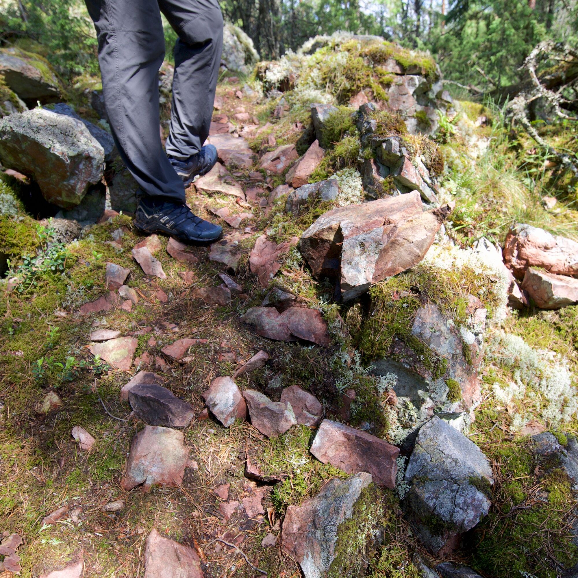

Sturdy shoes and, depending on the weather, also waterproof shoes are recommended.
The route is marked with light paint dots
Rock outcrops, stones and roots on the route may be slippery when wet. There are some steep climbs along the way.
Making fire is allowed only at designated fire sites and please remember to hike without leaving litter.
Dogs must always be on a leash
The route is not barrier-free and there is no winter maintenance
Short route to the lean-to shelter from Sulkavanranta road
When on the trail during moose hunting season (October–January), please wear some high-visibility clothing.
The route can be started either from Sulkavankoski or Karhulampi, both of which have parking areas.
Free parking at Sulkavankoski and Karhulampi.
The route can also be started from Heinola's Latumaja or continued from Sulkavankoski to Rautvuori.
Popularne wycieczki w okolicy
-
Rautvuori - short circular route, Heinola
średniWędrówka 2,11 km -
Three rock painting route, Vuolenkoski
średniKajak / Canoe 20,5 km -
The Great Island Circuit of Konnivesi, Heinola
ciężkiKajak / Canoe 28,2 km -
Korvenlampi route, Heinola
średniWędrówka 13,8 km -
Tähtisilta island circuit, Heinola
średniKajak / Canoe 10,5 km -
Hevossaari loop, Heinola
światłoKajak / Canoe 9,78 km -
Sataoja nature trail, Heinola
światłoTrasa tematyczna 5,70 km -
Heinola swing 17 km
światłoJazda na rowerze 17,1 km -
Koskensaari nature trail, Heinola
światłoTrasa tematyczna 2,66 km -
Pirttisalmenpolku, Heinola
średniWędrówka 3,06 km
Wędrówki i tropienie


Nie przegap ofert i inspiracji na następne wakacje
Twój adres e-mail została dodana do listy mailingowej.





