


Kapatuosian nature trail, Hollola
Kapatuosian linnavuori is a steep-sloped esker formed about 12,000 years ago by the meltwater stream of the continental glacier in the village center of Hollola. You can ascend the hill via a path starting...
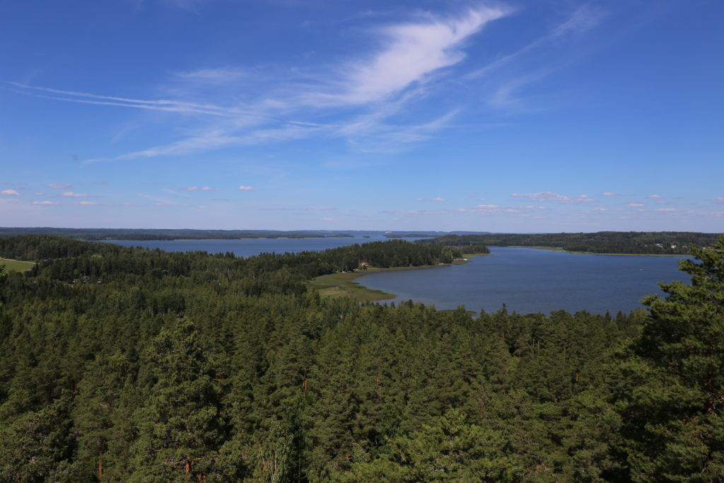
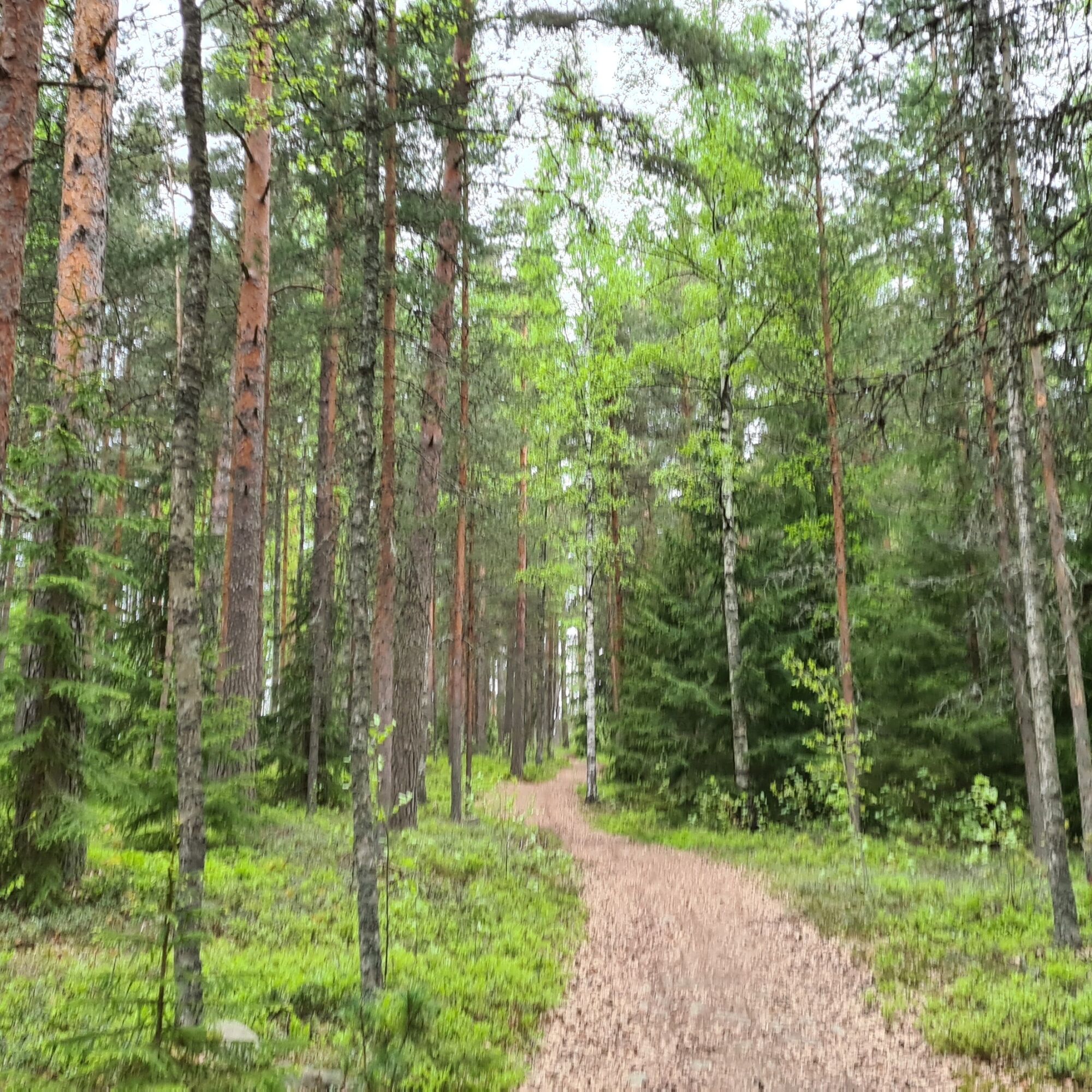
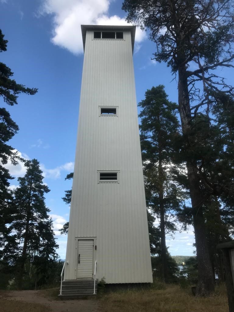
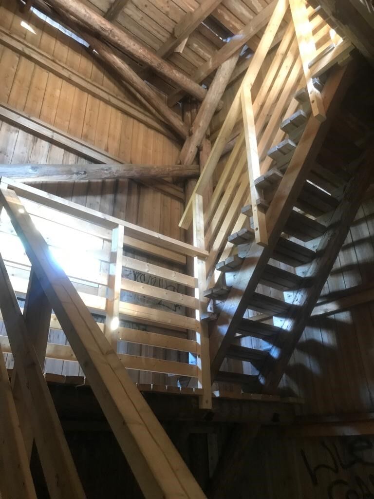
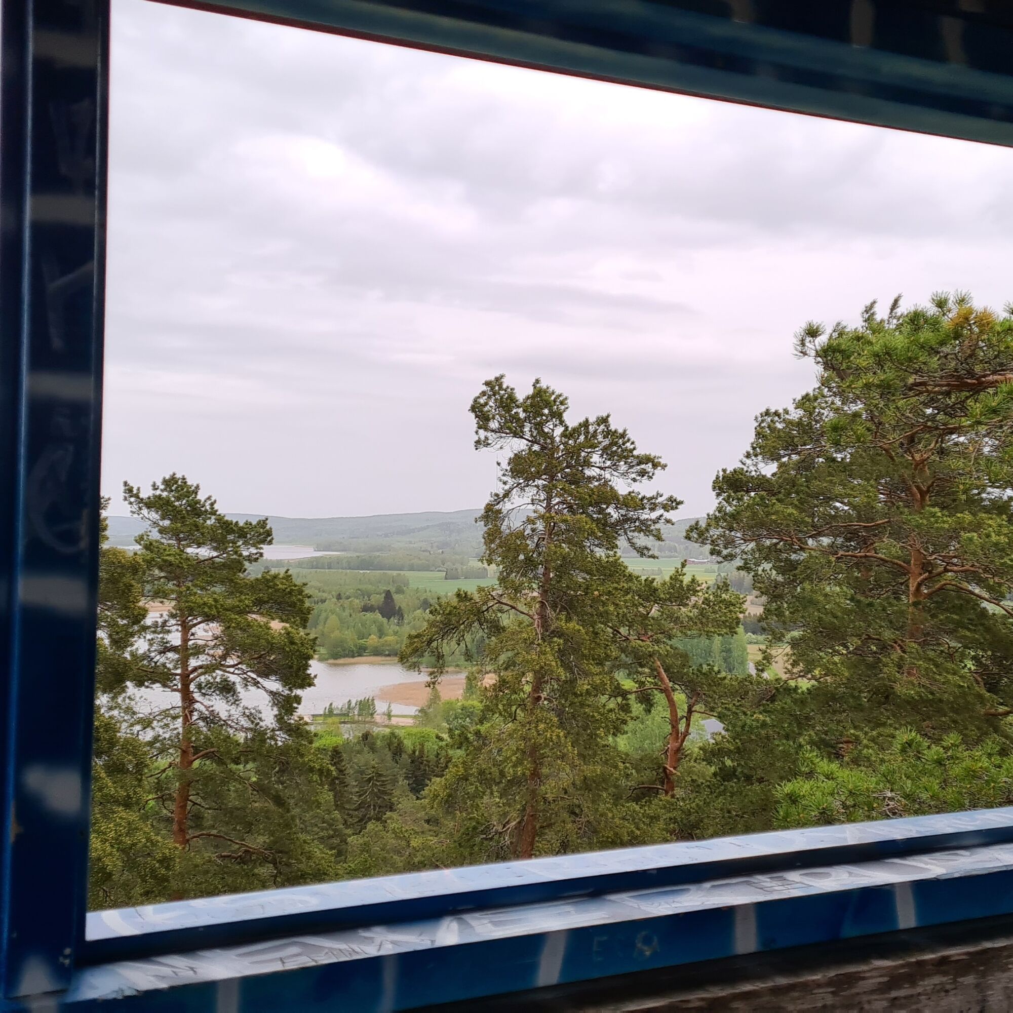
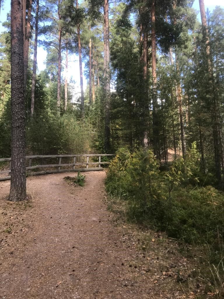
Kapatuosian linnavuori is a steep-sloped esker formed about 12,000 years ago by the meltwater stream of the continental glacier in the village center of Hollola. You can ascend the hill via a path starting behind the church. The way is guided by wooden posts marked with the image of the observation tower. At the top of the hill, there is an observation tower open in summer. Sturdy stairs lead to the tower. From the top of the tower, you can see both the nearby Lake Vesijärvi and the multi-layered cultural landscape surrounding it. Along the 2.4-kilometer nature trail, there are also other points of interest besides the observation tower. The Kapatuosian observation tower is open in summer.

Tak
The route can be traversed without special hiking equipment.
The path leading to the castle hill is easy to walk, but climbing the hill adds some challenge. The walking routes on Kapatuosian hill are marked with signs. While walking on the path, remember to stay on the marked routes.
The route is located in the village center of Hollola about 20 kilometers from the center of Lahti.
For those arriving by car, there are several parking spaces in the village center. If you want to complete the whole nature trail and explore the village center, suitable parking can be found on Lukkarintie, near Restaurant Kunnantupa and the village kiosk. There is also a small parking area along Parinpellontie.
It is worth spending some time in the beautiful village center of Hollola. Especially the medieval gray stone church of Hollola is worth visiting.
Popularne wycieczki w okolicy
-
Tiirismaa route, Hollola
światłoWędrówka 4,78 km -
Lahti Health Forest - Metsälenkki
światłoTrasa tematyczna 3,59 km -
On the waters of Hollola's Kirkonkylä, Hollola
średniKajak / Canoe 24,4 km -
Lake Vesijärvi scenery - paddling route from Lahti's Kahvisaari, Lahti
średniKajak / Canoe 17,4 km -
In the landscapes of Vesijärvi - paddling from Messilänranta, Hollola and Lahti
średniKajak / Canoe 18,9 km -
Varjansaari route, Asikkala
światłoKajak / Canoe 8,80 km -
Lake Vesijärvi route by motorcycle, Lahti
Motorrad 79,3 km -
Hollolan kirkon lenkki, Hollola
średniDroga rowerowa 36,3 km -
Enonsaari - Selkäsaaari route, Lahti
średniKajak / Canoe 11,0 km -
Ritamäki nature route, Lahti
światłoTrasa tematyczna 1,52 km
Wędrówki i tropienie


Nie przegap ofert i inspiracji na następne wakacje
Twój adres e-mail została dodana do listy mailingowej.