


Hike from Wildhaus to Gams
Poziom trudności: T1
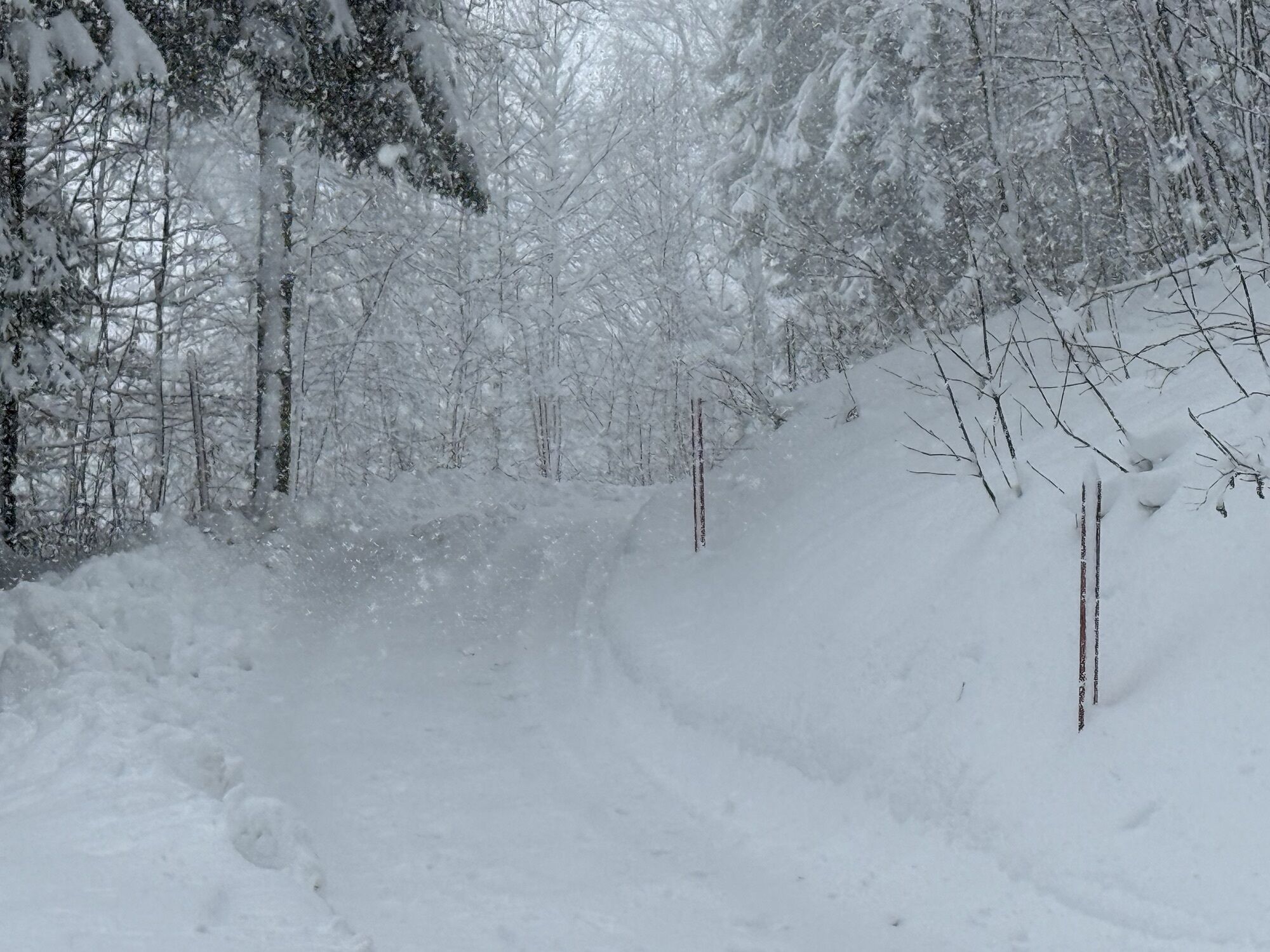
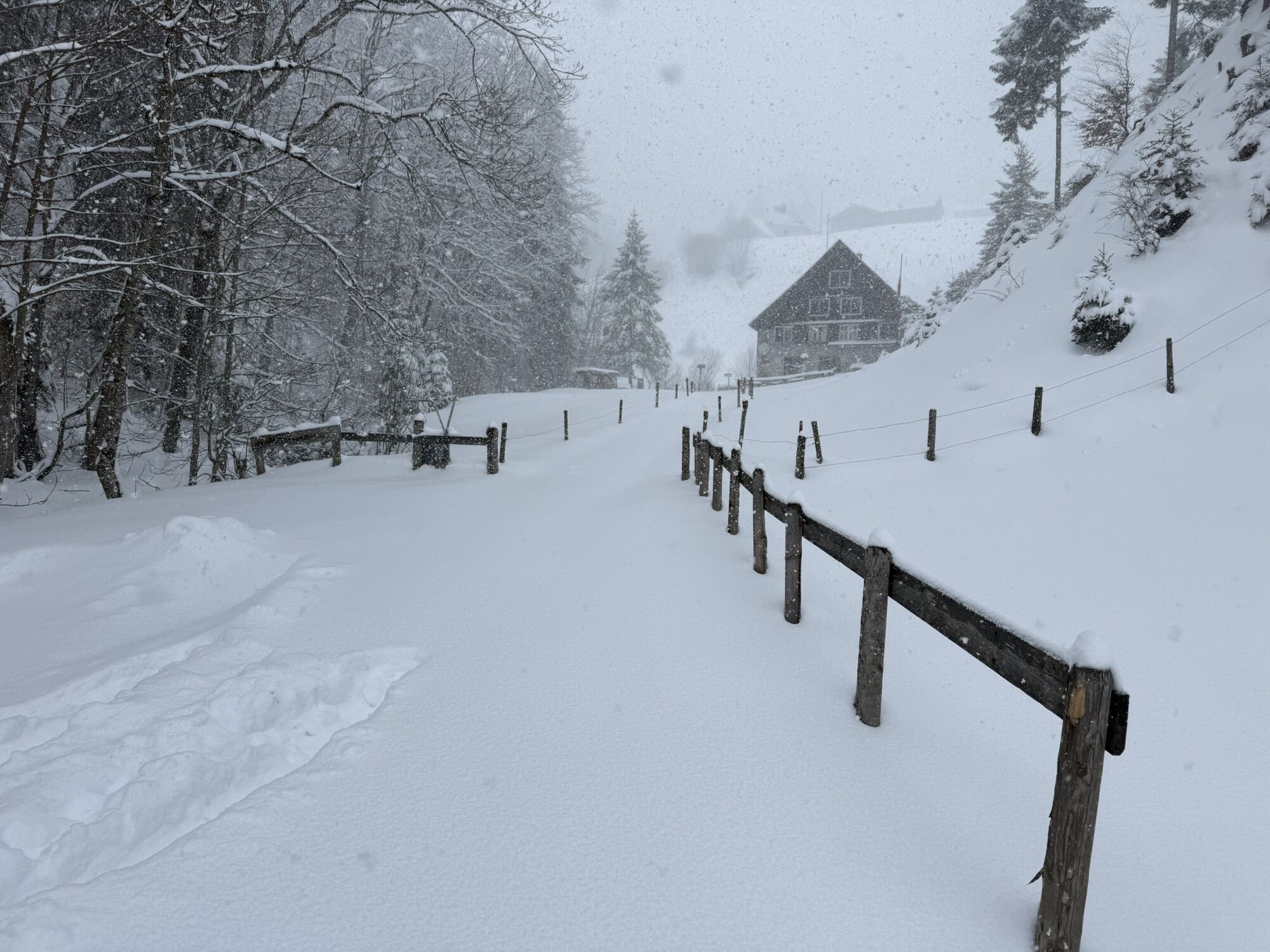
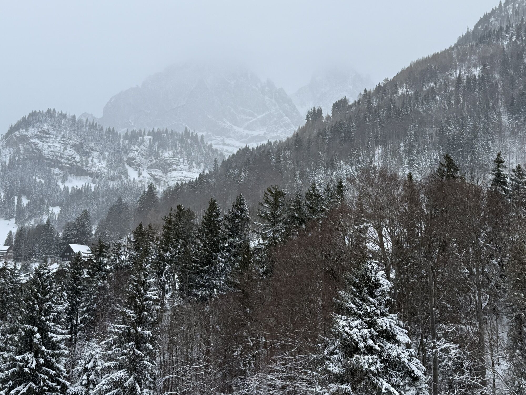
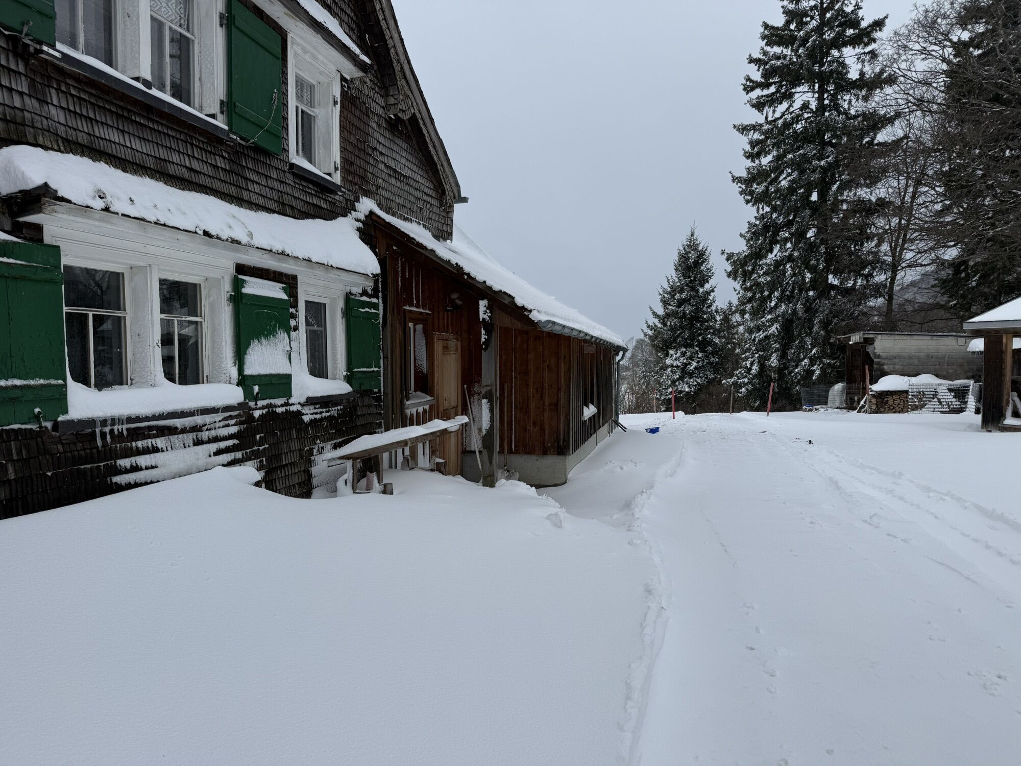
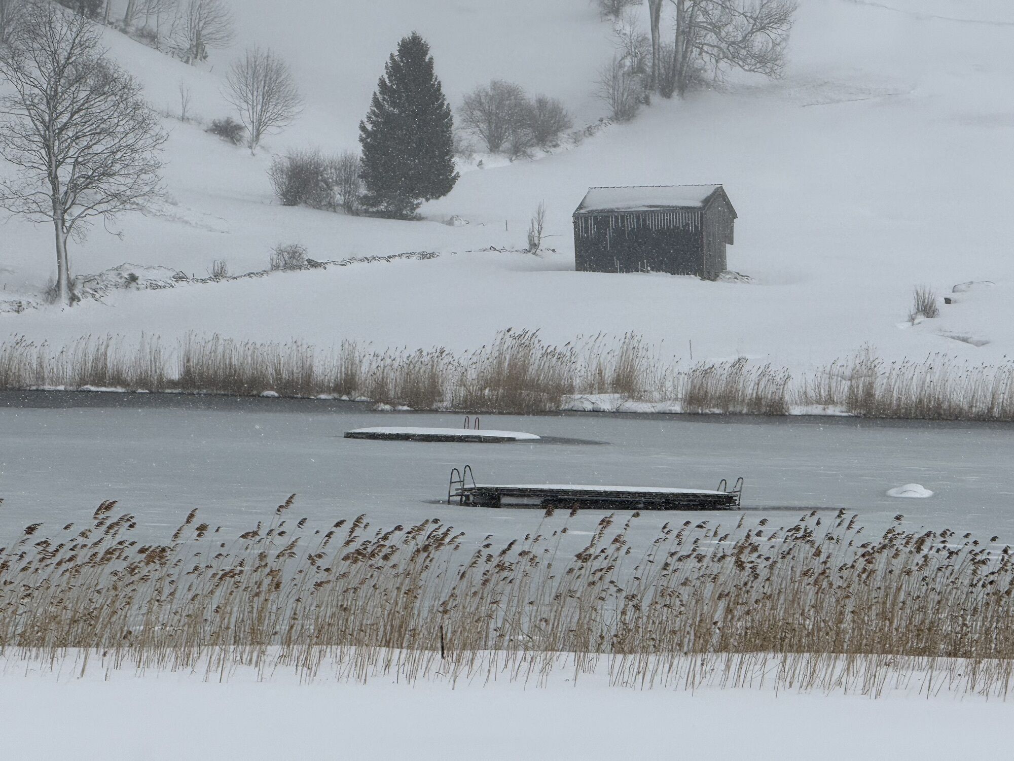
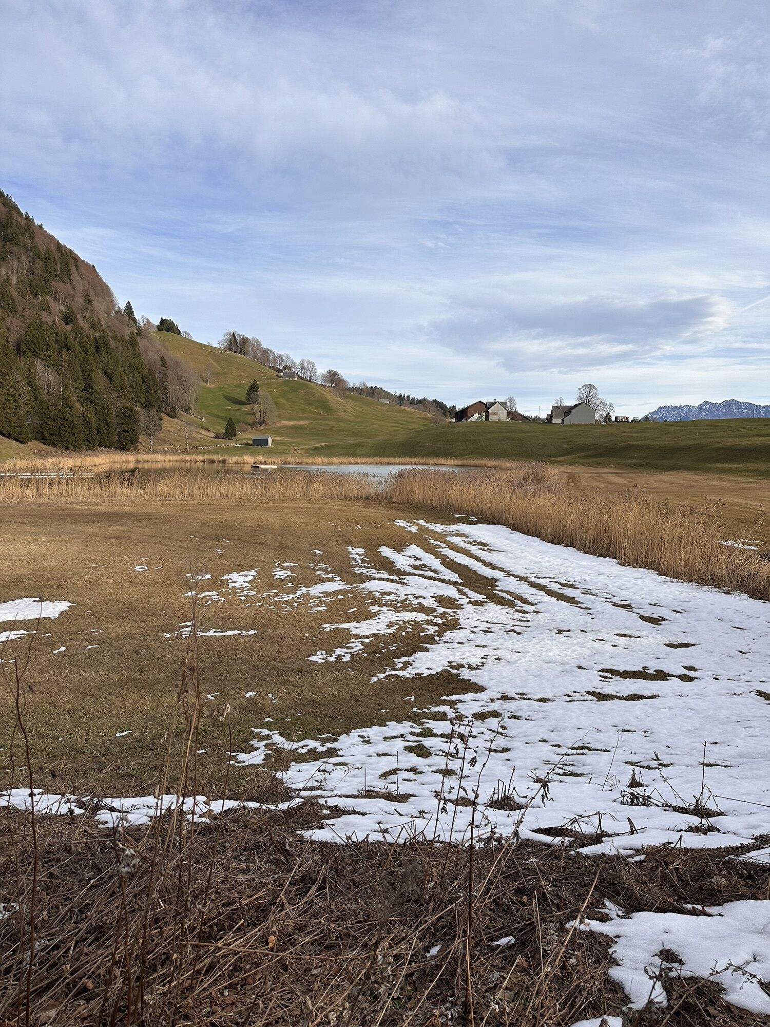
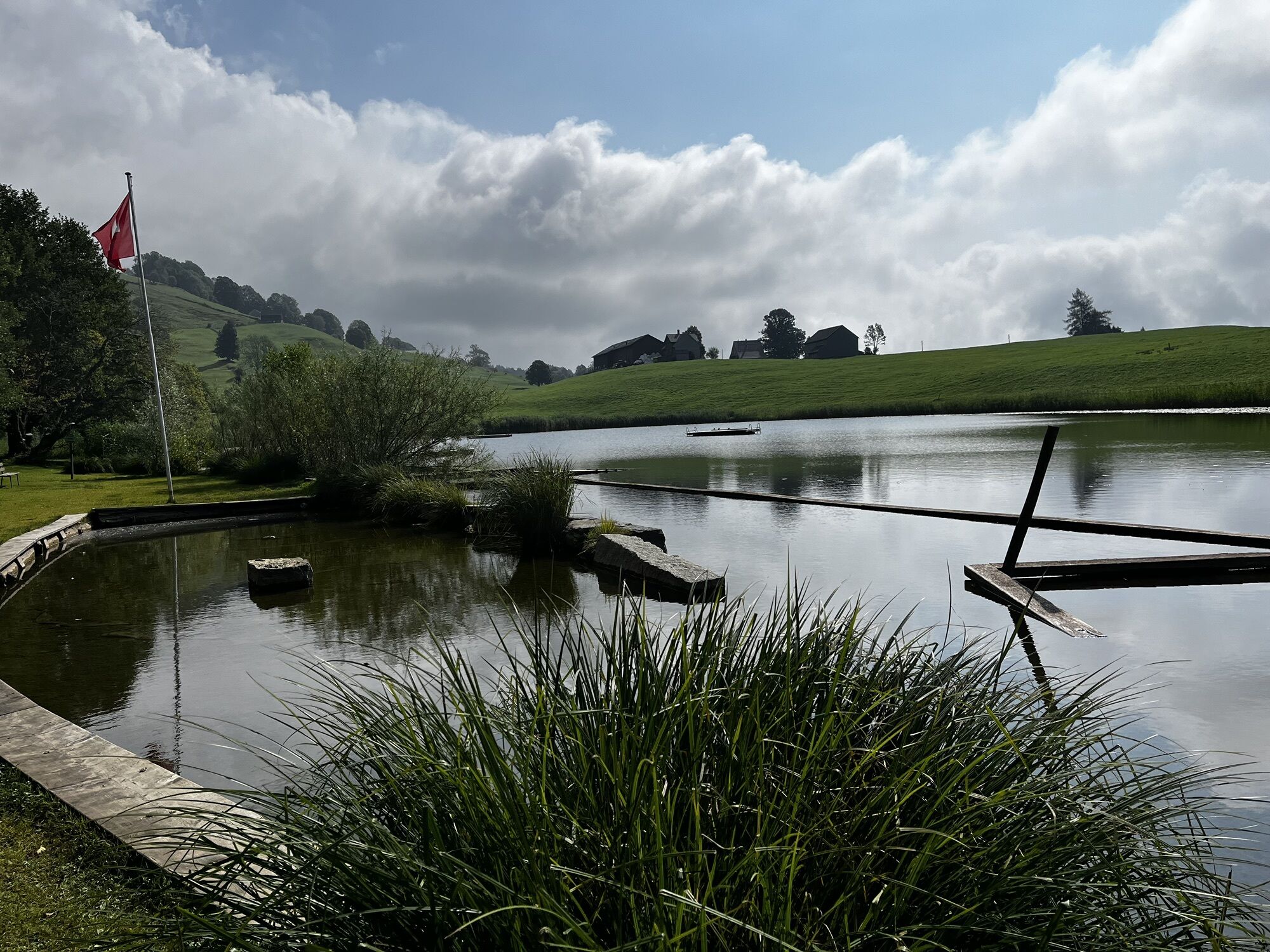
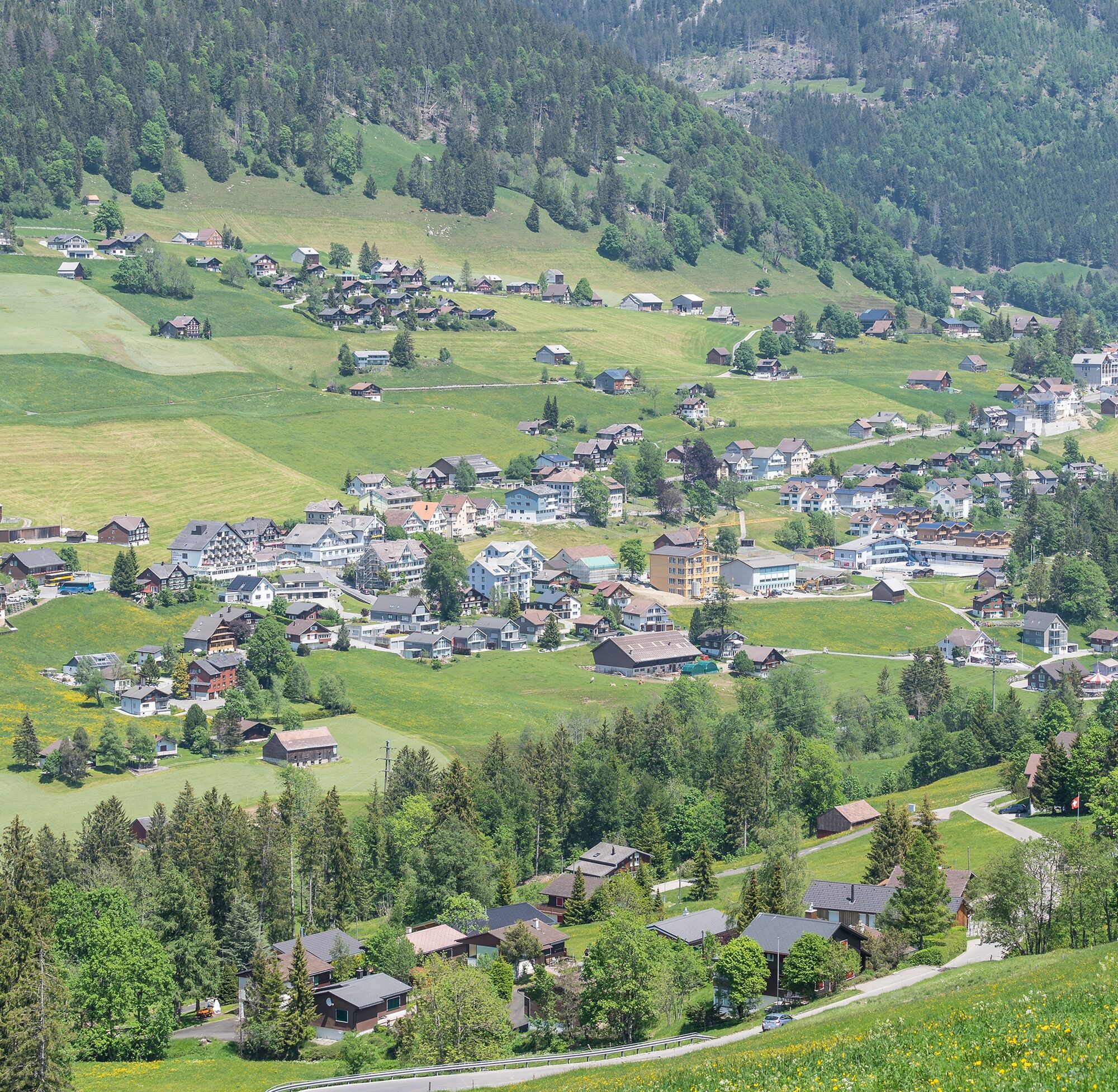
The scenic variety is impressive anyway. The starting point is Wildhaus, from where you set off via Loogweg towards Brüggli. The Simmi is still small here, which soon changes as you head towards Simmitobel....
The scenic variety is impressive anyway. The starting point is Wildhaus, from where you set off via Loogweg towards Brüggli. The Simmi is still small here, which soon changes as you head towards Simmitobel. Only a short stretch on the Rheintaler Höhenweg, then it’s worth to take your own paths. There are numerous paths to Gams: further through the ravine or over the sunny slopes of the Gamserberg. Depending on your hiking enthusiasm, you are on the trail for 2.5 to 4 hours. Public transport connections at the start and end points.

Wildhaus - Loogweg - Brüggli - Simmitobel - Gamserberg - Gams
Day hiking backpack (approx. 20 liters) with rain cover, sturdy and comfortable footwear, weather-appropriate and durable clothing in a layering system, optionally telescopic poles, sun and rain protection, provisions and drinking water, first aid kit, pocket knife, mobile phone, optionally headlamp, map material
On the A3 at Reichenburg towards Rapperswil, then over the Ricken Pass to Wattwil. Then up the Toggenburg region to Wildhaus.
- From Eastern Switzerland:
From St. Gallen to Herisau and further over the Wasserfluh to Lichtensteig. Or from St. Gallen to Wil, take the Toggenburg exit. Follow the main road to Wildhaus.
- From Southern Germany:
Via Bregenz and St. Margrethen on the A13 to Haag and take the exit towards Toggenburg/Wildhaus. Or via Konstanz to Wil, then take the Toggenburg exit and follow the main road to Wildhaus.
Public transport connections at the start and end points.
By train to Nesslau-Neu St. Johann or Buchs SG, then by post bus to the stop "Wildhaus Dorf".
T1
Toggenburg Tourism
Hauptstrasse 104
9658 Wildhaus
+41 71 999 99 11
info@toggenburg.swiss
www.toggenburg.swiss
A camera is a must on this hike.
Kamery internetowe z trasy
Popularne wycieczki w okolicy
- 4,7
Riviera Lake Walen Walenstadt-Quinten
średniWędrówka 10,4 km - 4,7
Tour Brülisau - Saxerlücke - Hoherkasten⛰
ciężkiWędrówka 16,6 km - 4,6
Wasserauen - Seealpsee - Wasserauen
średniWędrówka 7,71 km - 4,9
Säntis-Gipfeltour, Wasserauen / Appenzell Innerrhoden
ciężkiWędrówka 21,1 km - 4,6
To the summit cross of the Alpspitz
światłoWędrówka 6,27 km - 5,0
Staubern-Runde (15.8.2021)
średniWędrówka 8,65 km - 4,8
2 Seenwanderung Sämtisersee und Fälensee
średniWędrówka 14,6 km - 4,7
Alvier
średniWędrówka 3,33 km - 3,6
Fürstensteig-Drei Schwestern
Wędrówka 12,9 km - 4,9
Schwende, Appenzell Innerrhoden
średniWędrówka 11,8 km
Wędrówki i tropienie


Nie przegap ofert i inspiracji na następne wakacje
Twój adres e-mail została dodana do listy mailingowej.