







SwitzerlandMobil 34: Klettgau-Rhein-Weg Stage 1, Hallau– Siblingen

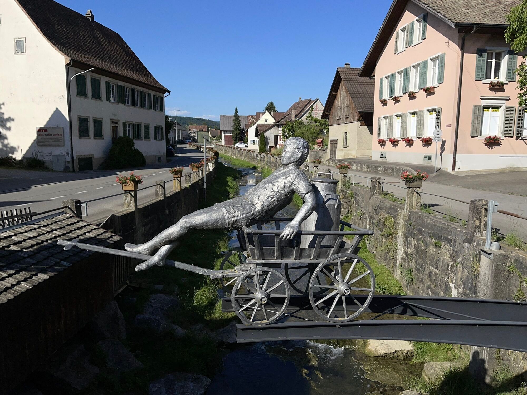
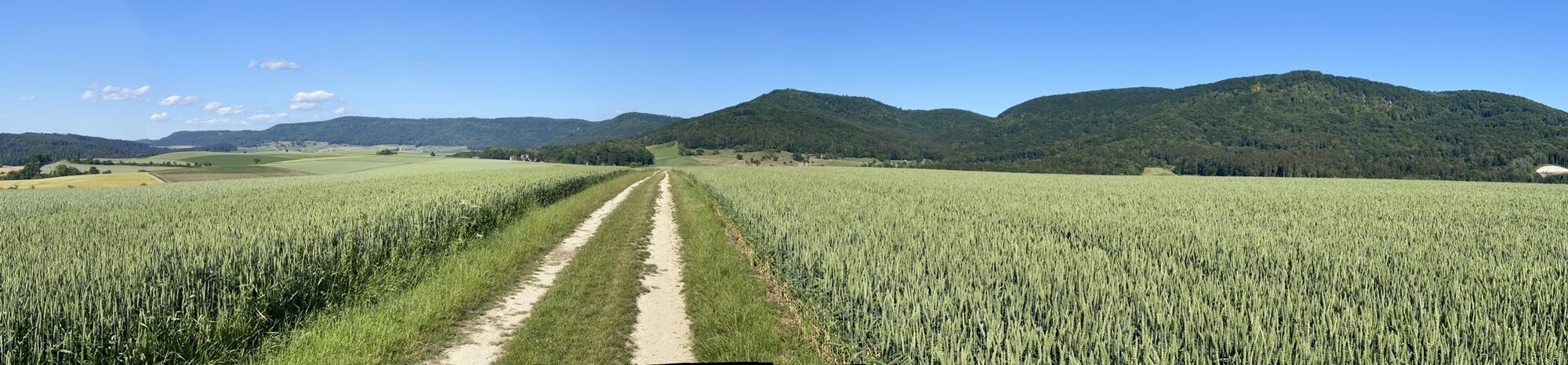
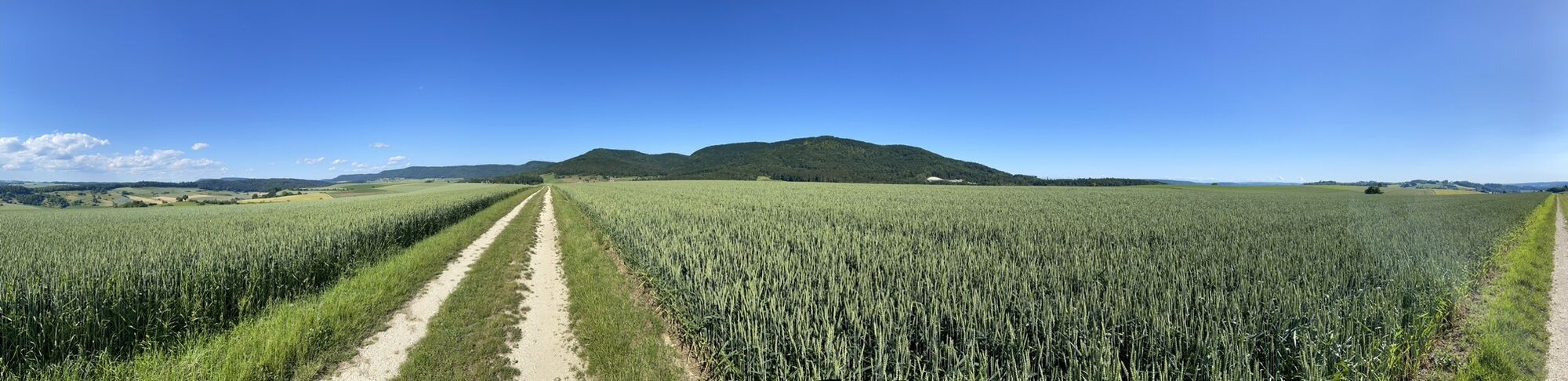
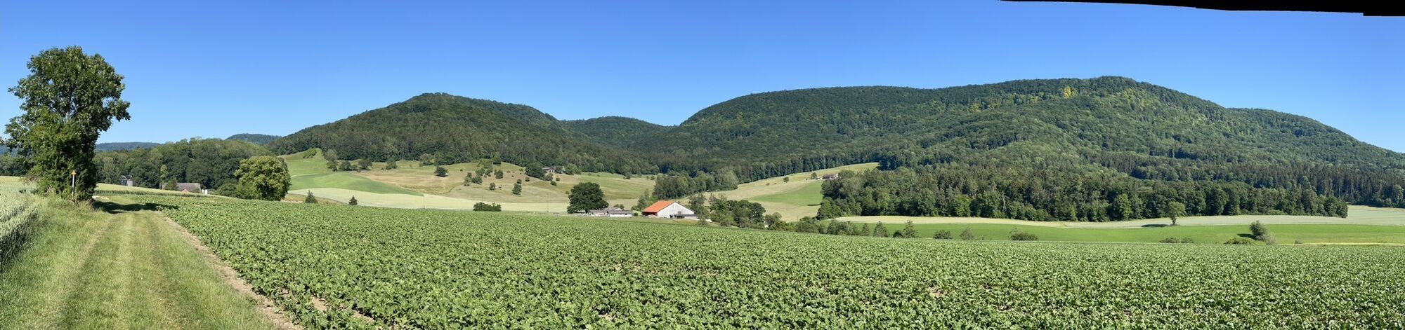


The 1st stage of the Klettgau-Rhein-Weg leads from the Schaffhauser Blauburgunderland around Hallau over the Randen ridge, along the border stones between Switzerland and Germany, to the Siblinger Randenturm....
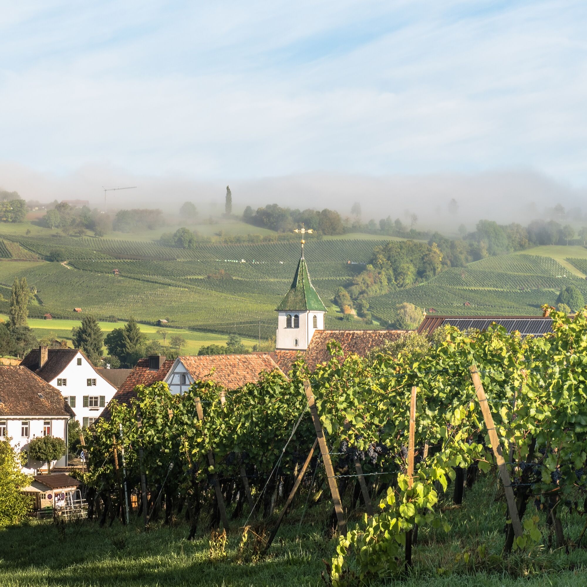
The 1st stage of the Klettgau-Rhein-Weg leads from the Schaffhauser Blauburgunderland around Hallau over the Randen ridge, along the border stones between Switzerland and Germany, to the Siblinger Randenturm. The hike runs largely through beautiful nature far from civilization, past the well-known Hallauer Bergkirche St. Moritz, endless vineyards, and dense forests.
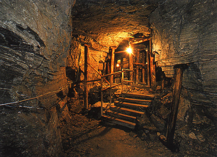
Over the Hallauer Berg and along the German border, you reach the municipality of Schleitheim. The local Gypsum Museum provides insights into the former gypsum mining industry.
From Schleitheim, the route goes over the Täufersteig up onto the Randen ridge. This ascent was already used during the Reformation by the Anabaptists, who gathered in this area for forbidden services.
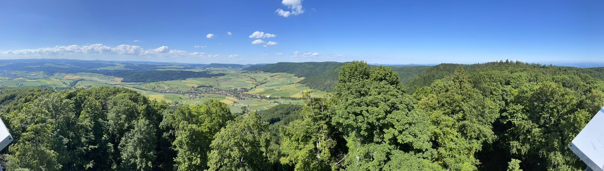
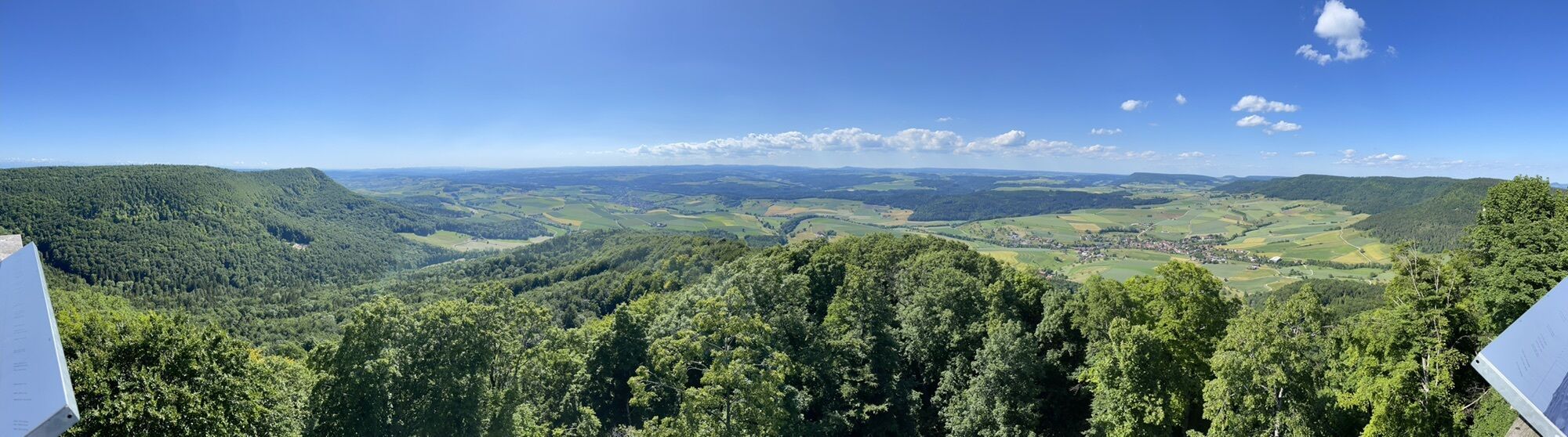
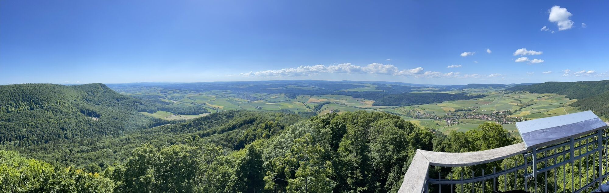
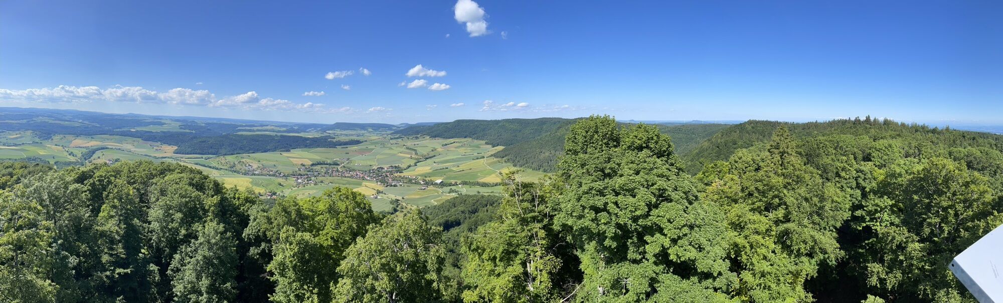
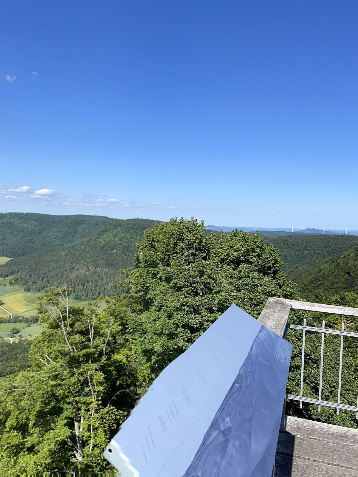
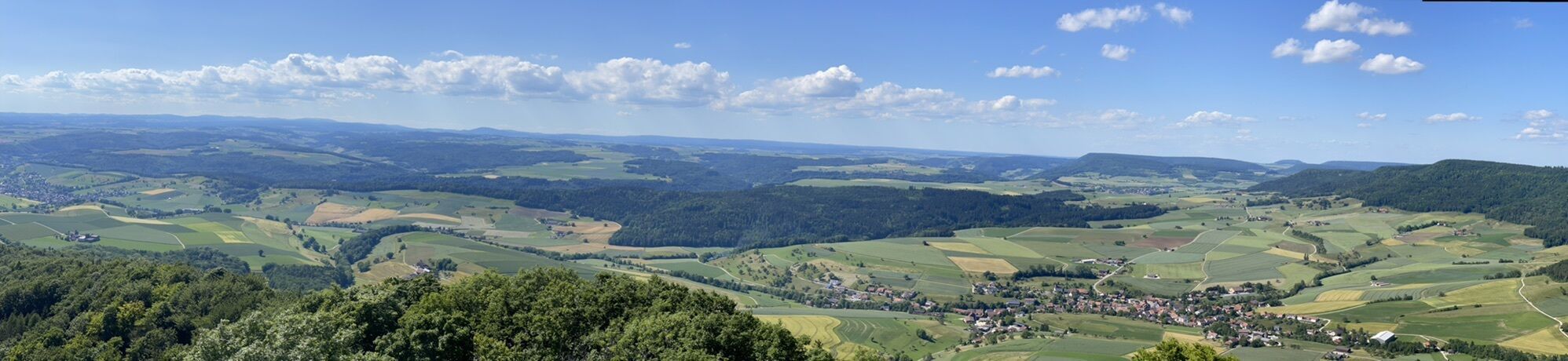
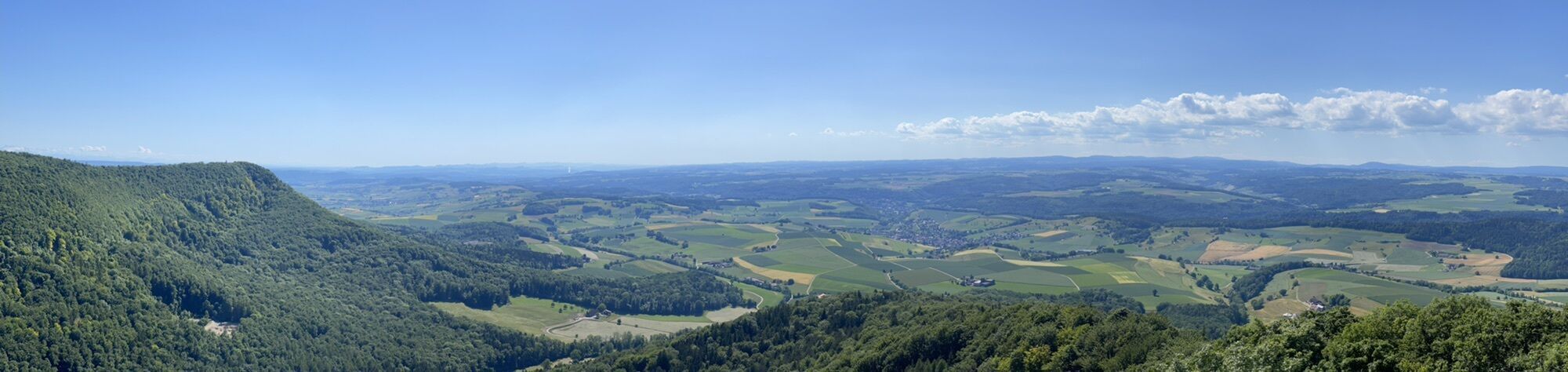
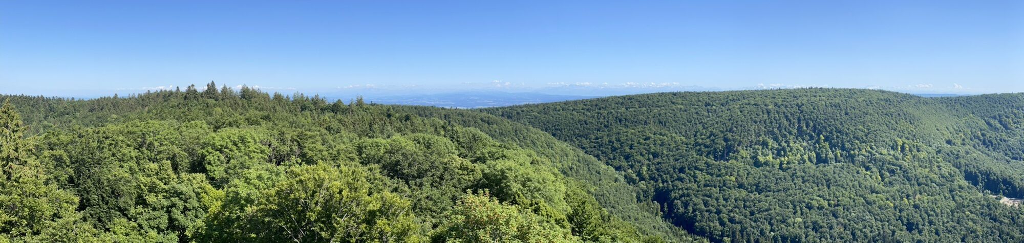
The view from the Schleitheimer Randenturm rewards the steep climb before continuing on the plateau to the restaurant Siblinger Randenhaus and the Siblinger Randenturm.

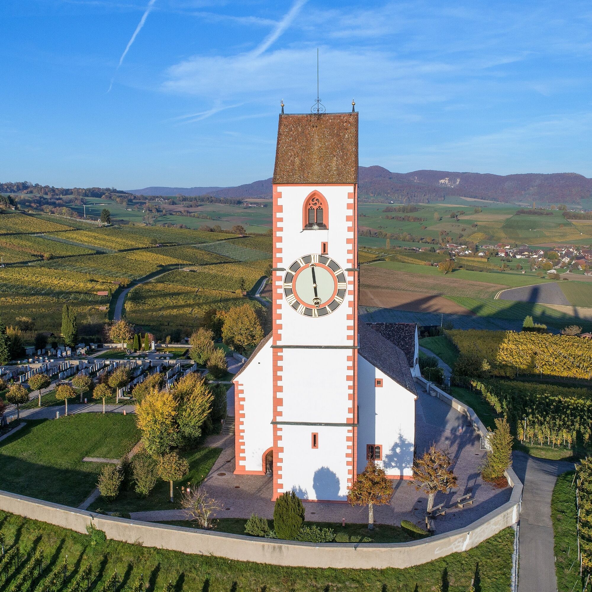
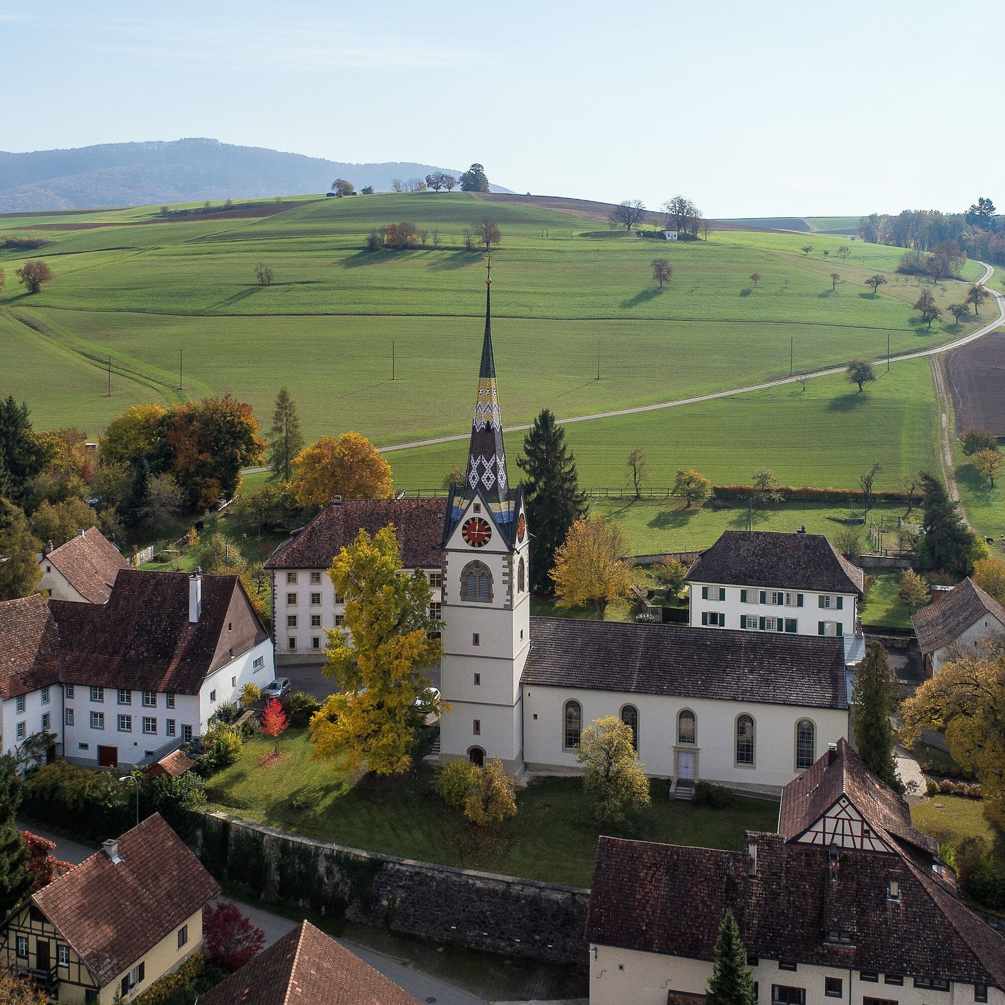

You start at the Hallau Gemeindehaus bus stop and walk northeast along the main road. After about 20 meters, turn left into Bergstrasse. Follow the road straight into Hohlengasse and continue to the Bergkirche St. Moritz.
At the church, pass to the right heading towards Oberhallau. The path leads you about one kilometer on a gravel road, then left to the "Hungerbühl" and immediately right again until you reach a paved road (Unterdorf/Bergstrasse).
Follow this road for about 400 meters, then slightly left onto the old Bergstrasse, a beautiful natural path. From here, you go uphill to Oberhallauer Berg. Upon arrival, you cross the main road at Hinterer Berghof and hike down to the forest along the Jakobsweg.
After about 300 meters, follow the path along the forest edge. After another 900 meters, go straight through the forest and then right along the clearing. At the next fork, keep left and follow the path along the forest edge and fields. After about 2.6 kilometers, turn left onto the main road.
Cross the main road and after about 50 meters turn left onto Undere Mühliweg. Follow it to the main road, then continue to the large intersection where you turn left into the village of Schleitheim (Bahnhofstrasse).
Stroll through the picturesque village of Schleitheim with its many half-timbered houses. From Bahnhofstrasse, you reach Poststrasse, then Randenstrasse. At the next intersection, turn right into Chilcheraa. After 300 meters, go left over the field path until you meet a gravel road.
Turn right here and after 200 meters continue left, following the path about 1.5 kilometers to the next farm. Then right along the forest edge and after 500 meters left into the forest. After another 200 meters, turn right and follow the forest path until you reach the Schleitheimer Randenturm.
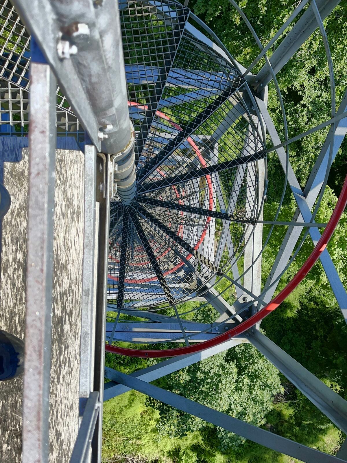
The stairs up are worth it – from the top you have a fantastic view over the Randen landscape. Then go straight ahead until you come out of the forest to Zälgli. Keep right and follow the forest edge until about 400 meters later, turn right into the forest.
After about 600 meters, go left and follow the path about 1.5 kilometers to the Siblinger Randenhaus. Here you have almost reached your destination!
Treat yourself to a nice snack or – if you want to stay overnight – check in at the Randenhaus before you set off on the last section to the Siblinger Randenturm.
From the Randenhaus, walk about 100 meters along the paved road, then left onto the field path. Follow it about 1.1 kilometers until you reach the Siblinger Randenturm – with a wonderful view over the Schaffhauserland as the crowning conclusion of your route.
Tak
You are mostly on natural paths. We recommend appropriate footwear, a backpack, and some provisions for your hike.
Follow the respective instructions at the Randentürme.
From Schaffhausen take Route 4 and Galgenbuck tunnel to Klettgauerstrasse/Route 13/Route 14 in Neuhausen am Rheinfall, follow the route to Schaffhauserstrasse in Neunkirch, then take Hallauerstrasse and Neunkircherstrasse to Schweizerbundweg in Hallau.
Arrival: by train/bus to the Hallau Gemeindehaus stop
Return: by bus from the Siblingen Dorf stop
Various parking spaces (blue zone) available in Hallau.
There is a possibility that a Randenturm cannot be climbed.
Weinkrone Hallau
Gipsmuseum Schleitheim
Schleitheimer Randenturm
Hotel Restaurant Siblinger Randenhaus
Siblinger Randenturm

Popularne wycieczki w okolicy
-
4,7
Premium Hiking Trail - 3-Schluchten Tour
średniTrasa tematyczna 9,62 km -
4,7
Wutachschlucht Rundwanderung im Süd Schwarzwald
średniWędrówka 9,76 km -
4,7
Small Rheinfall Circular Route
światłoWędrówka 3,48 km -
4,4
Wutach, Deutschland
średniWędrówka 14,6 km -
Circular hike Schaffhausen - Rhine Falls - Schaffhausen
średniWędrówka 10,0 km -
5,0
Genießerpfad Gauchachschlucht
średniWędrówka 5,63 km -
SwitzerlandMobility 896: Rhine Falls Circular Route
średniWędrówka 7,39 km -
5,0
Circular hike over the Hinterranden
średniWędrówka 11,0 km -
4,5
Nature trail Merishausen: Brown route
średniTrasa tematyczna 11,4 km -
4,5
SchweizMobil 593: Nordspitze Panoramaweg
średniWędrówka 13,7 km
Wędrówki i tropienie


Nie przegap ofert i inspiracji na następne wakacje
Twój adres e-mail została dodana do listy mailingowej.





