





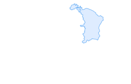

Obersee Rundwanderung

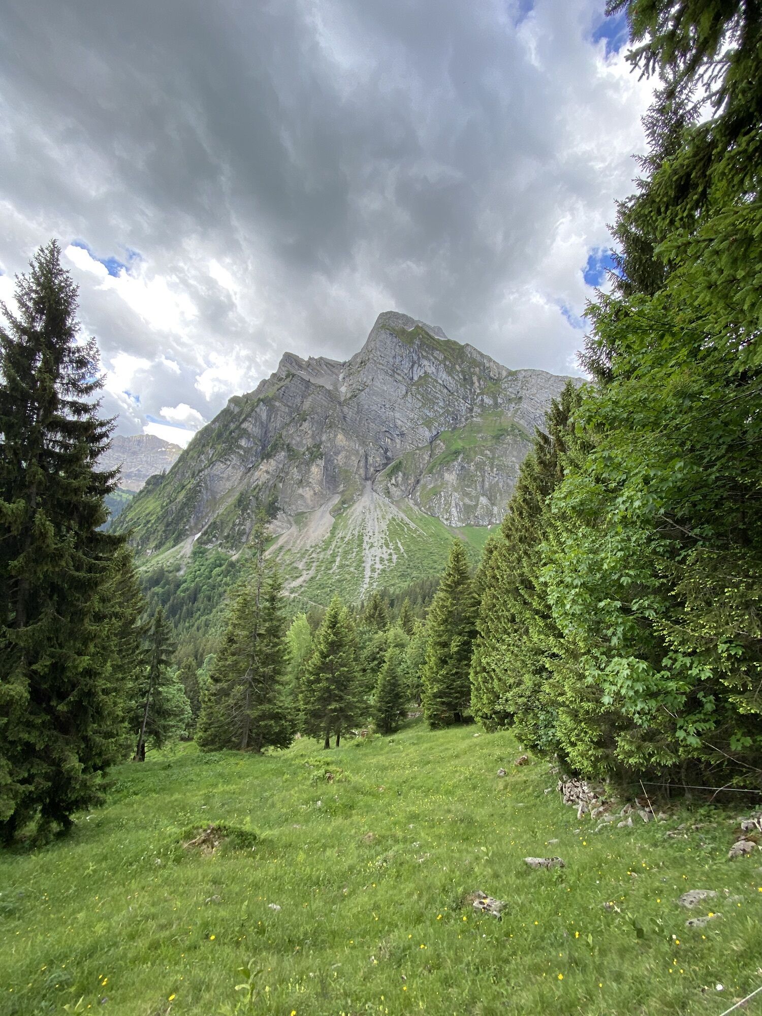
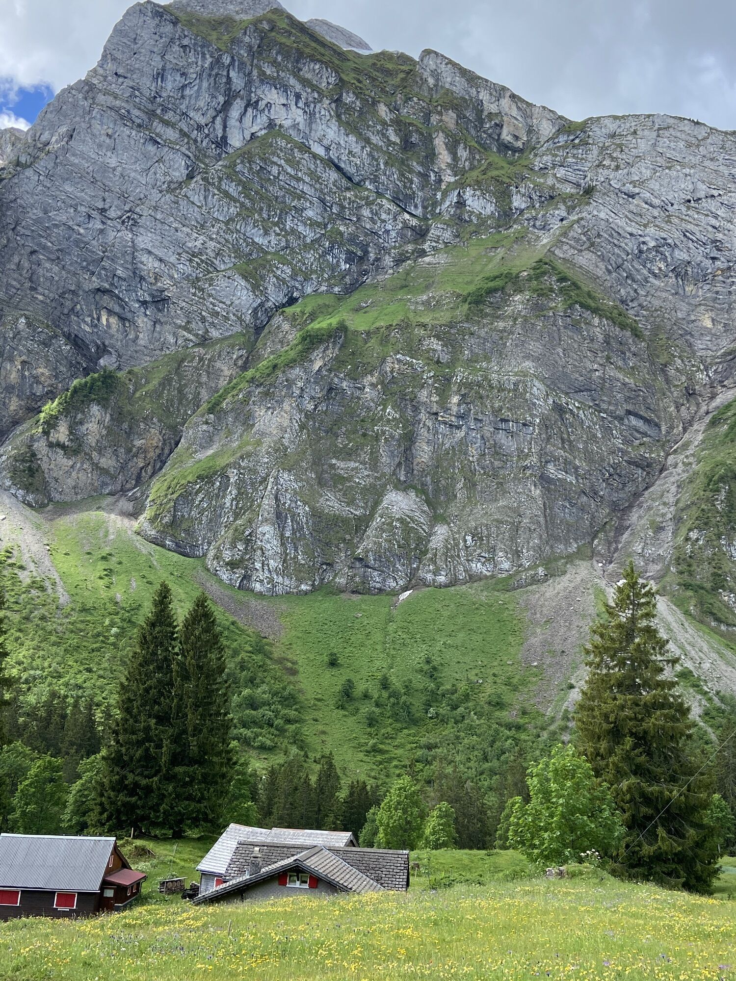
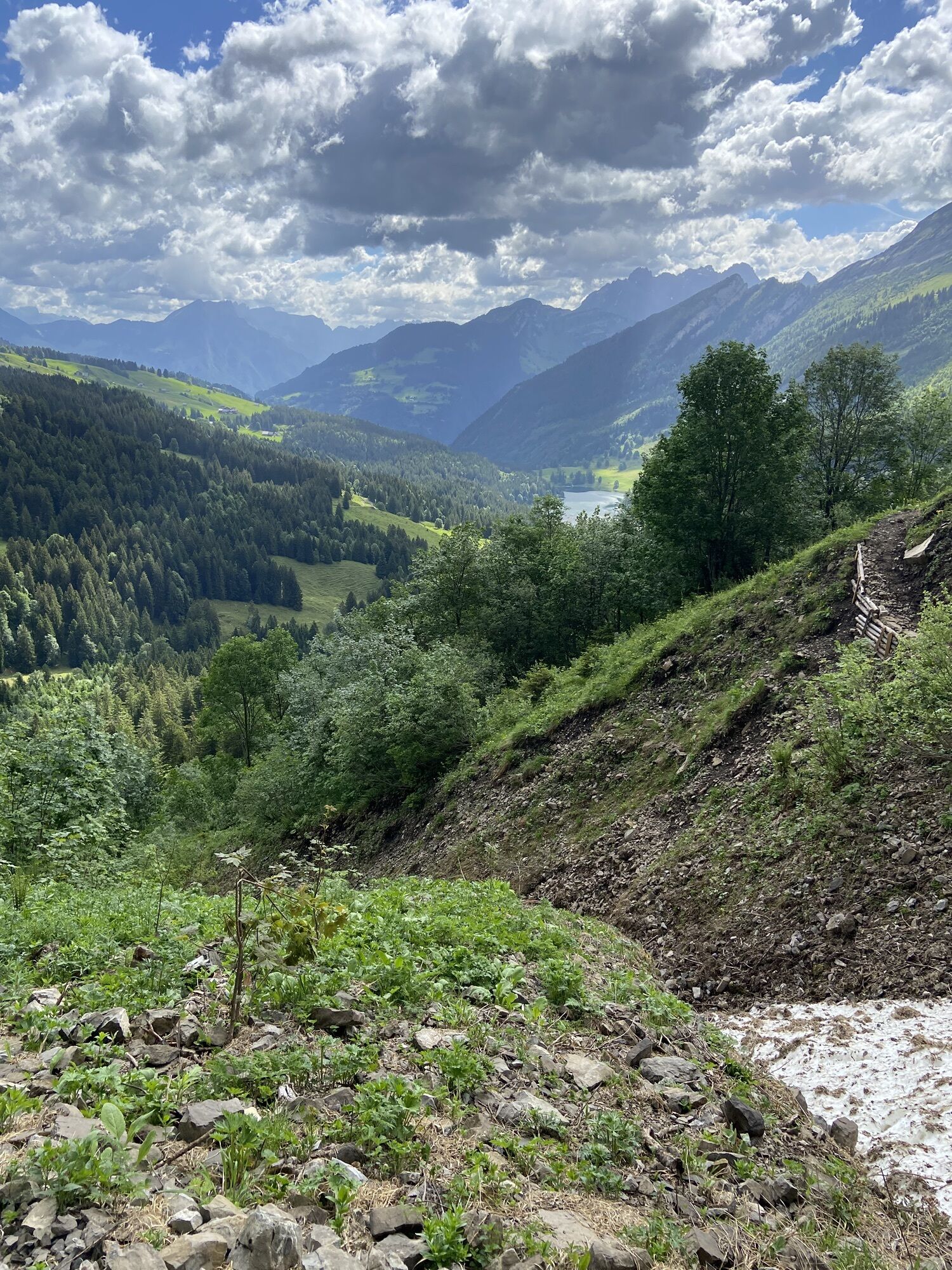
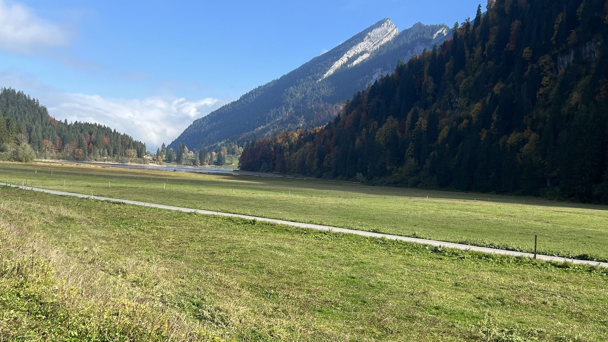
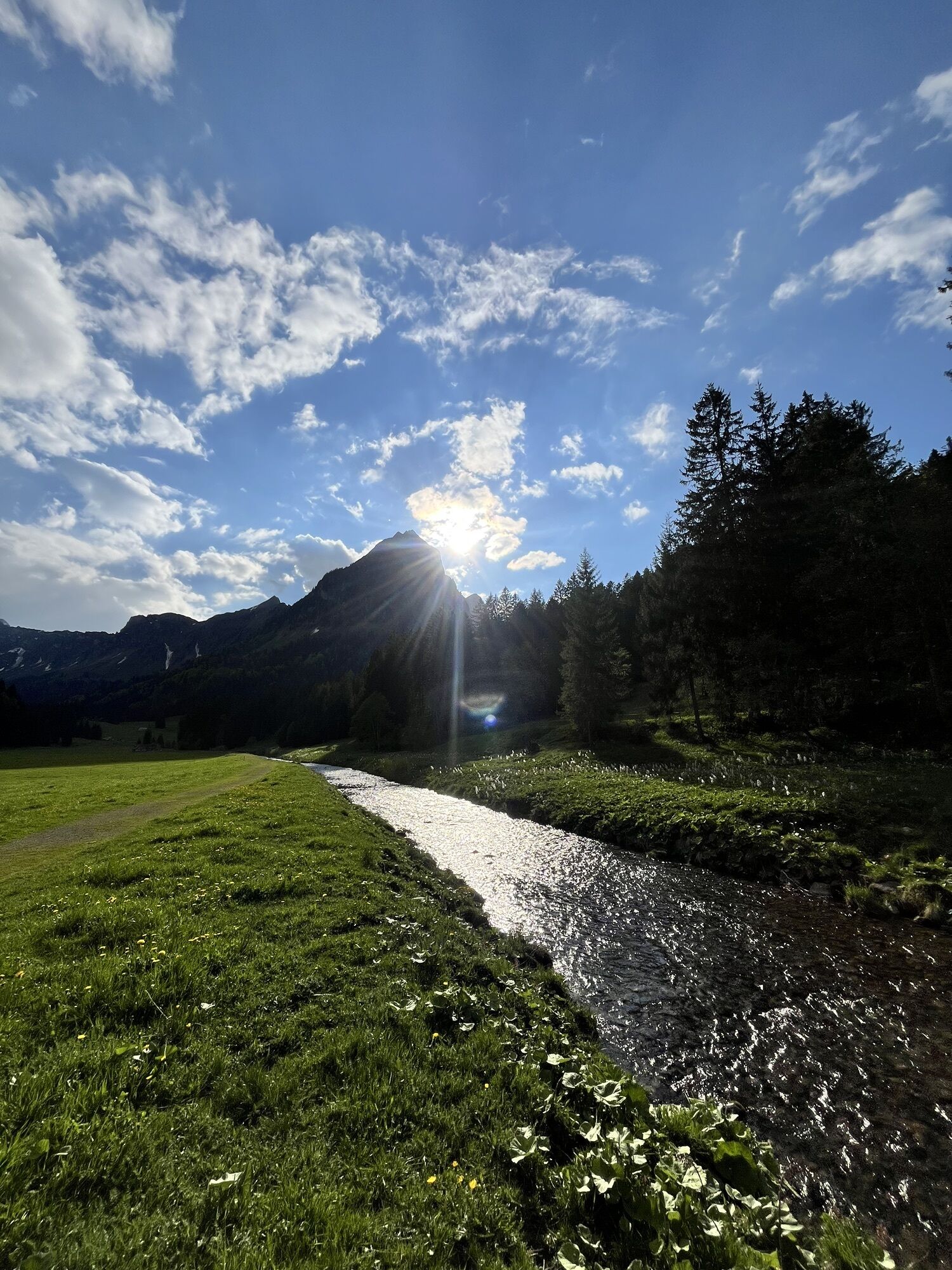
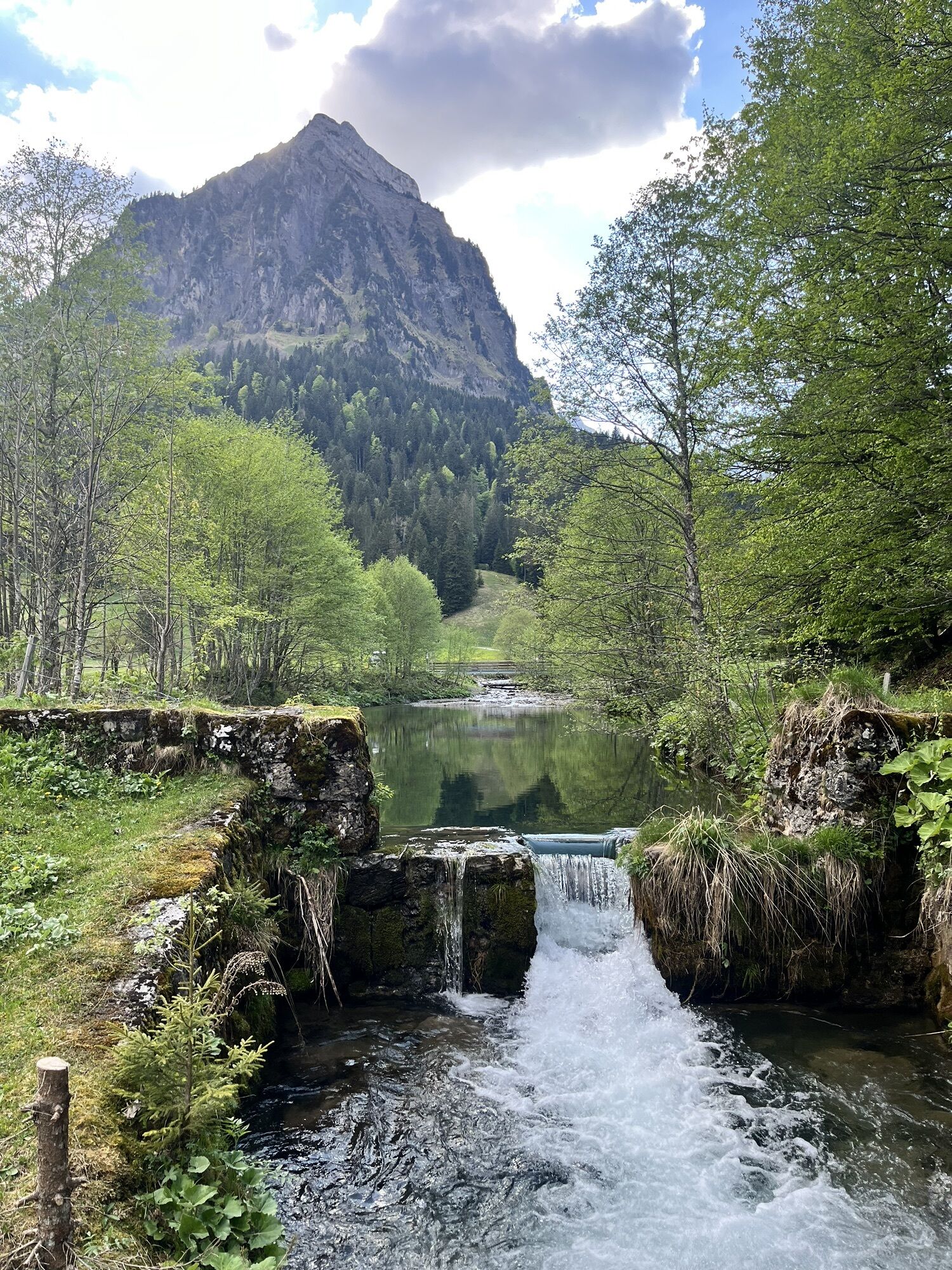
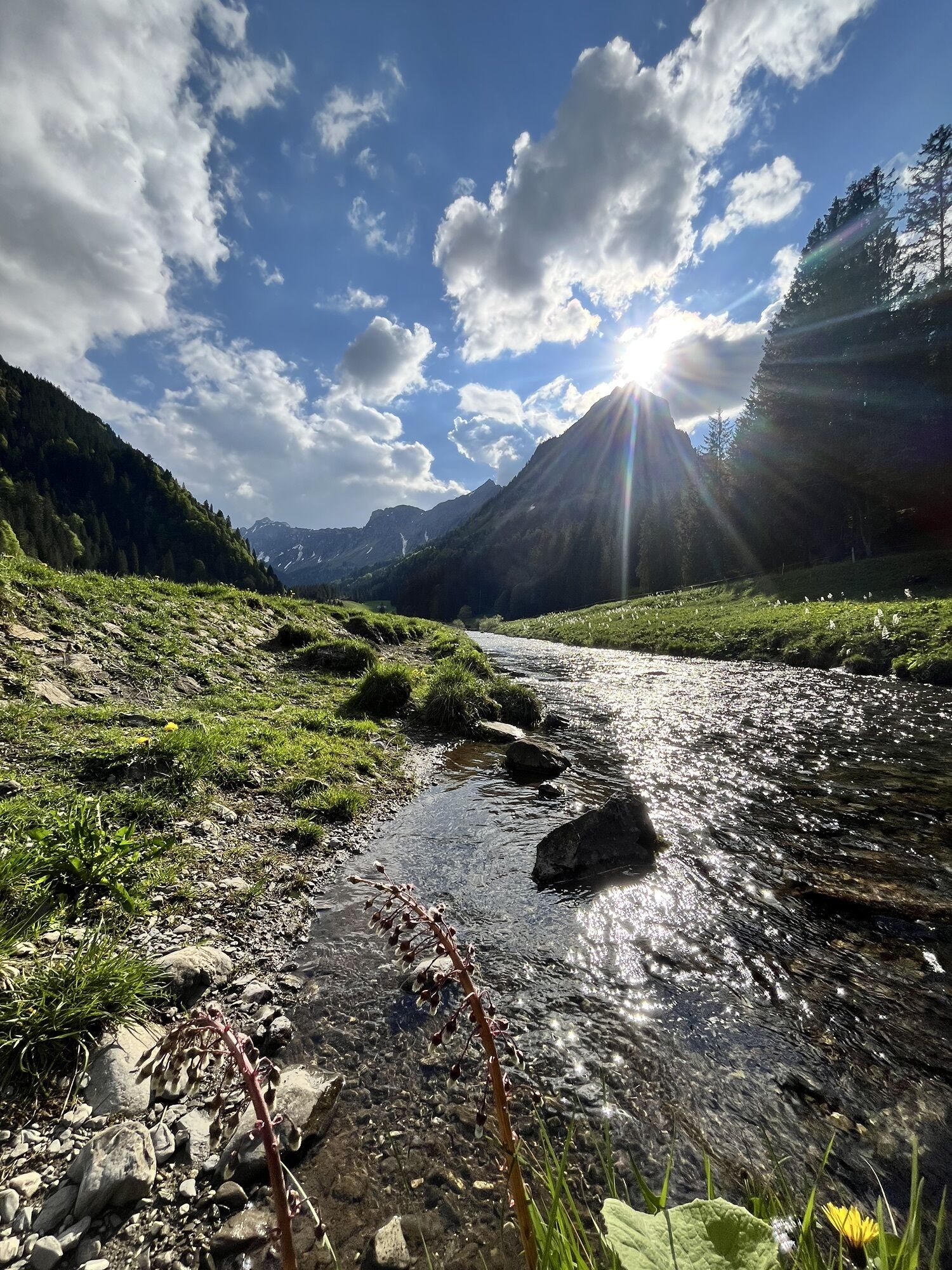
Access by car or cab from Näffels. From Obersee, the trail first leads up through the forest on paths. After crossing the open alpine landscape (asphalt), the path climbs steeply up to the Stäfeli Alm,...
Access by car or cab from Näffels.
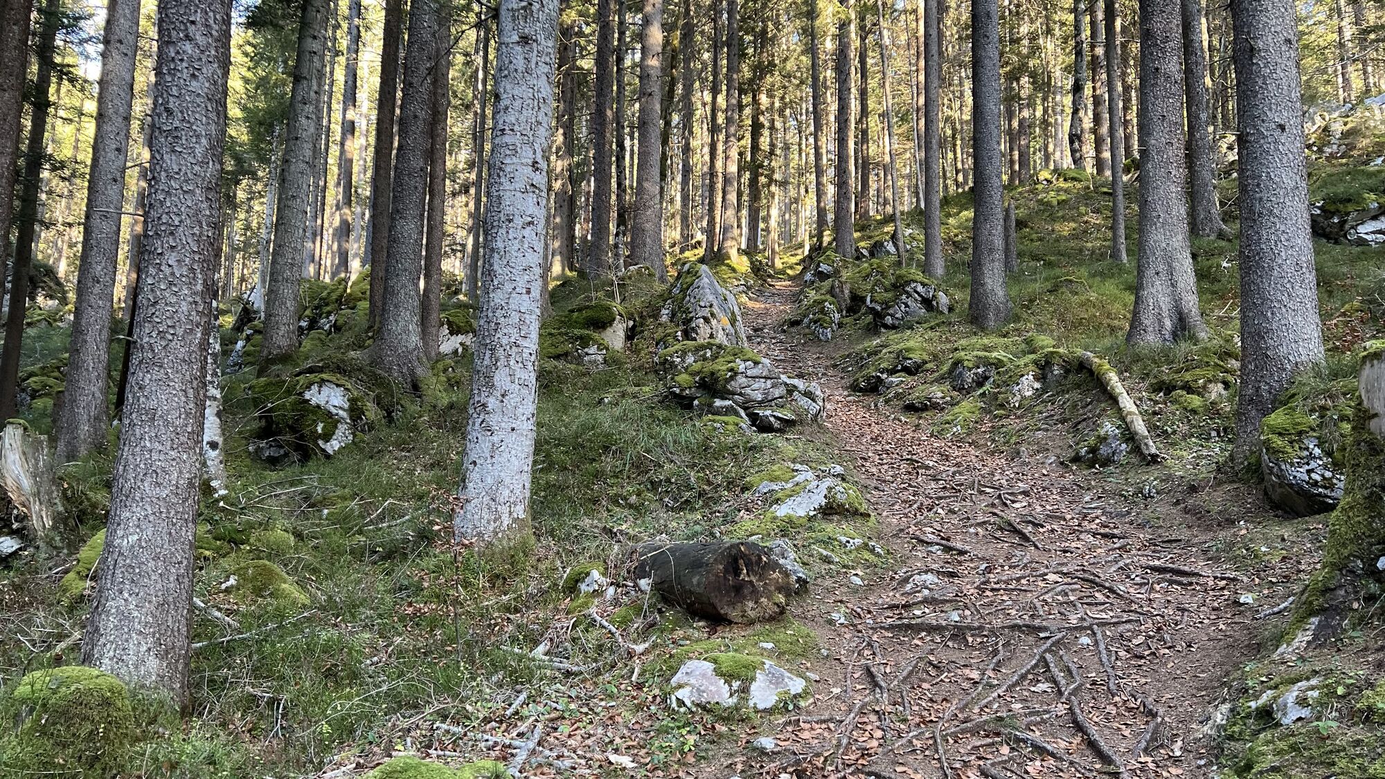
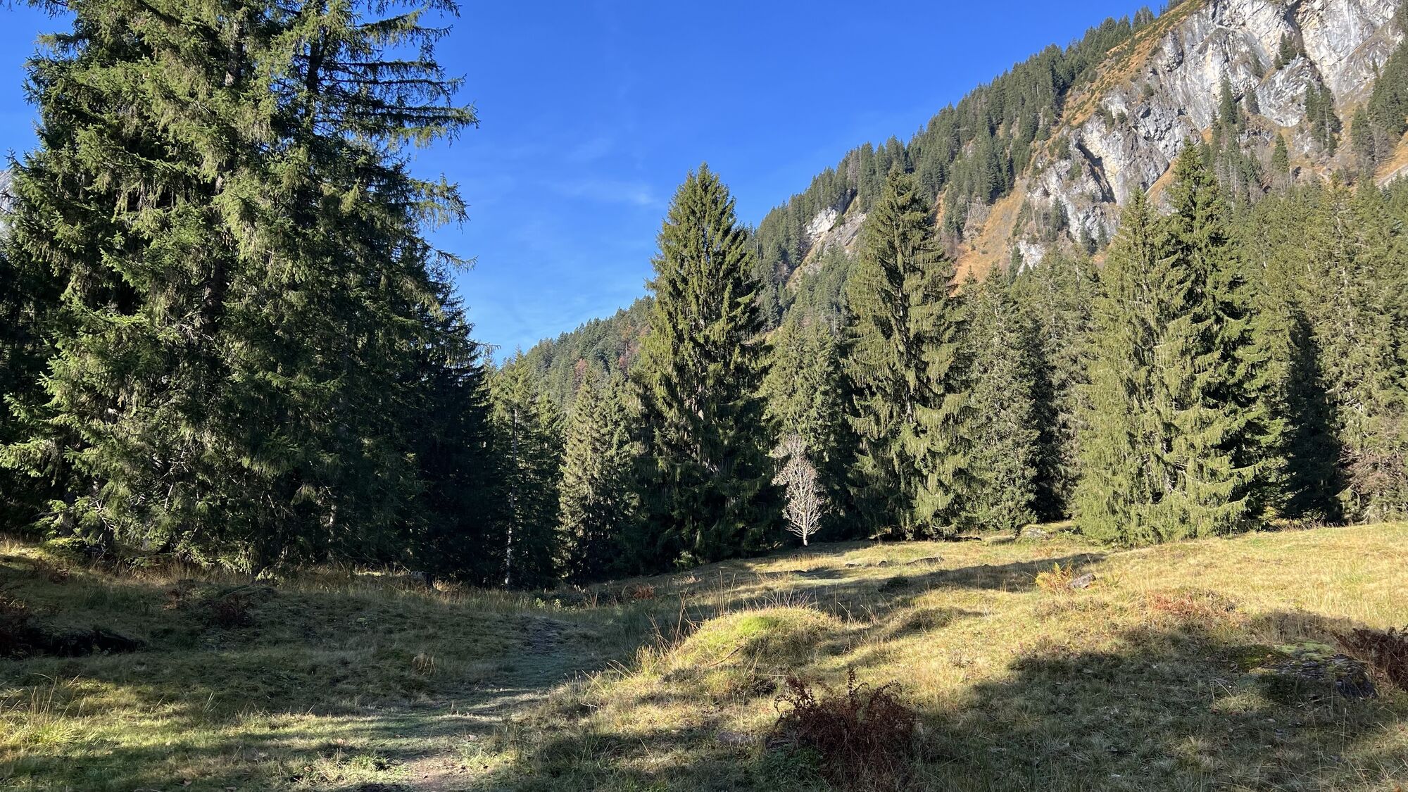
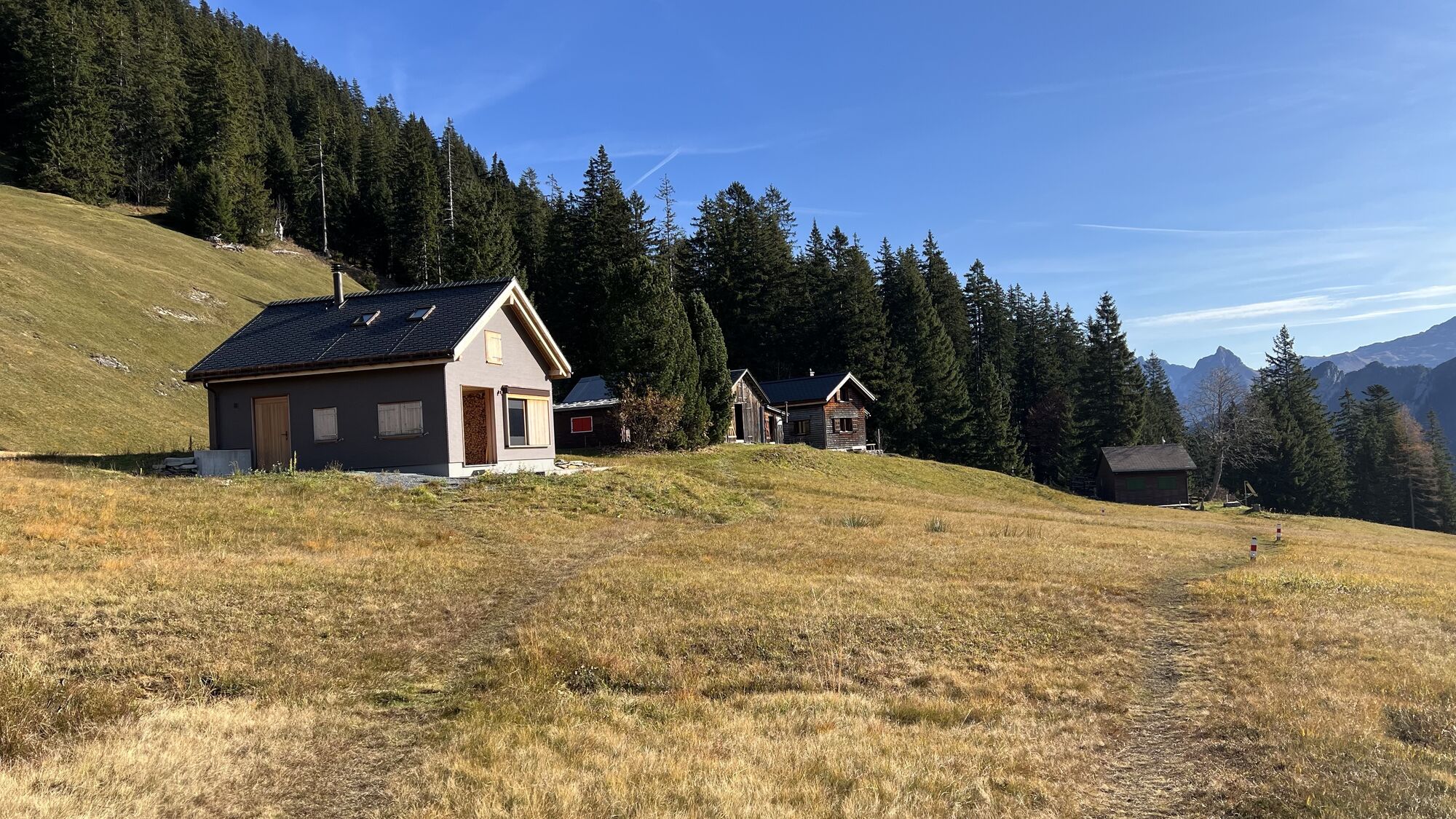
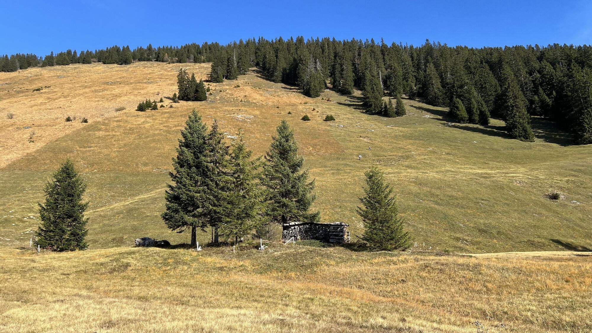
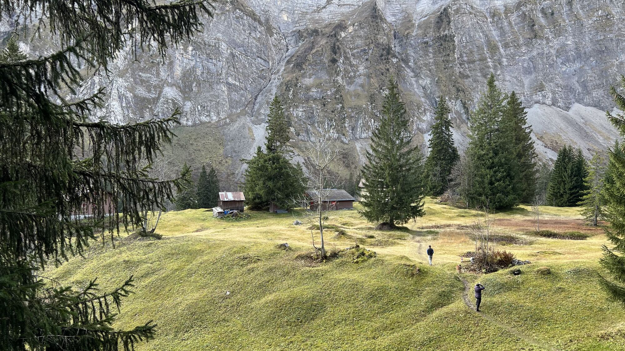
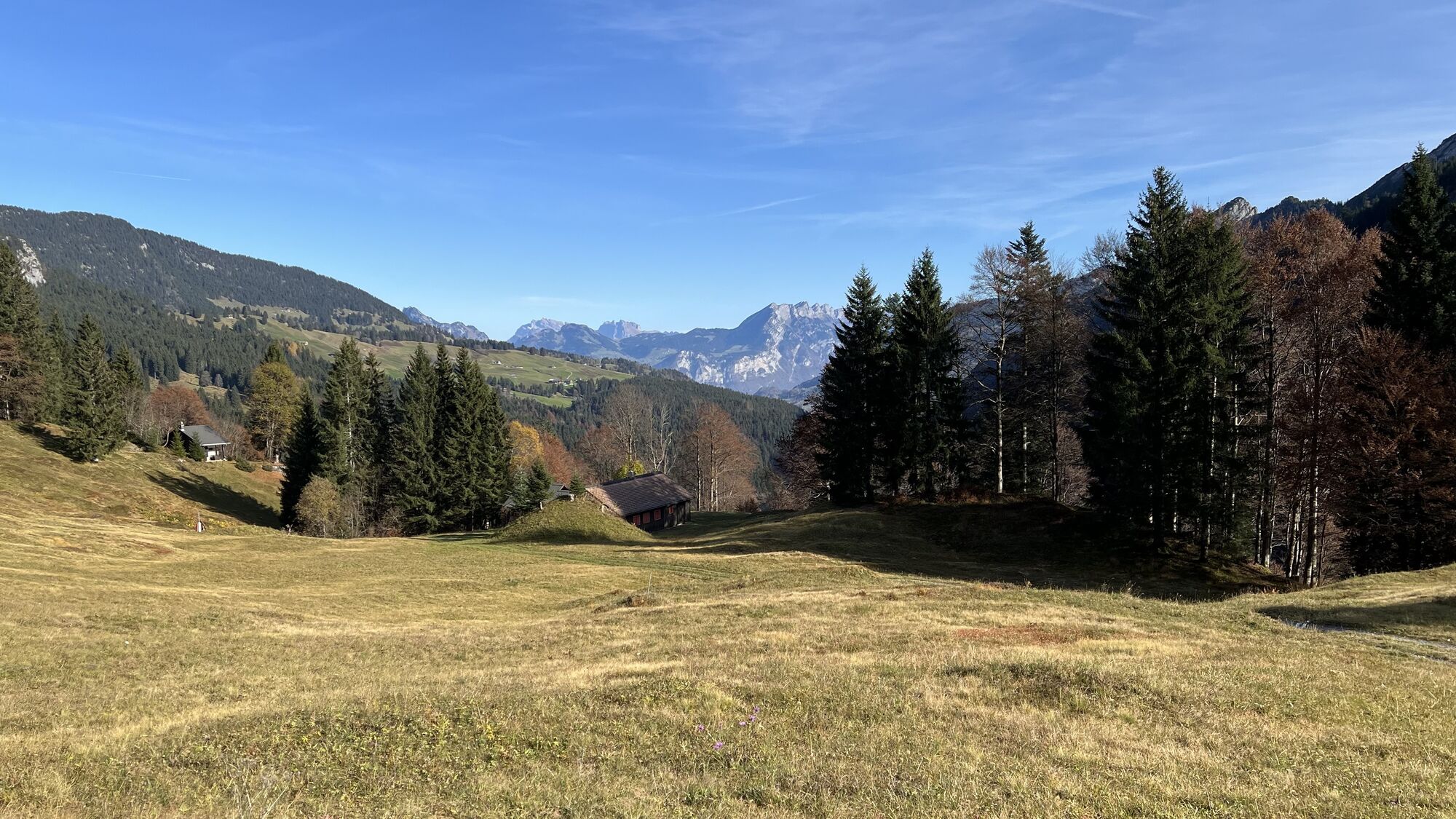
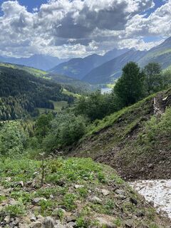
From Obersee, the trail first leads up through the forest on paths. After crossing the open alpine landscape (asphalt), the path climbs steeply up to the Stäfeli Alm, which is also the highest point of the circular hike. From there it goes down to Ahornen, a small mountain settlement.
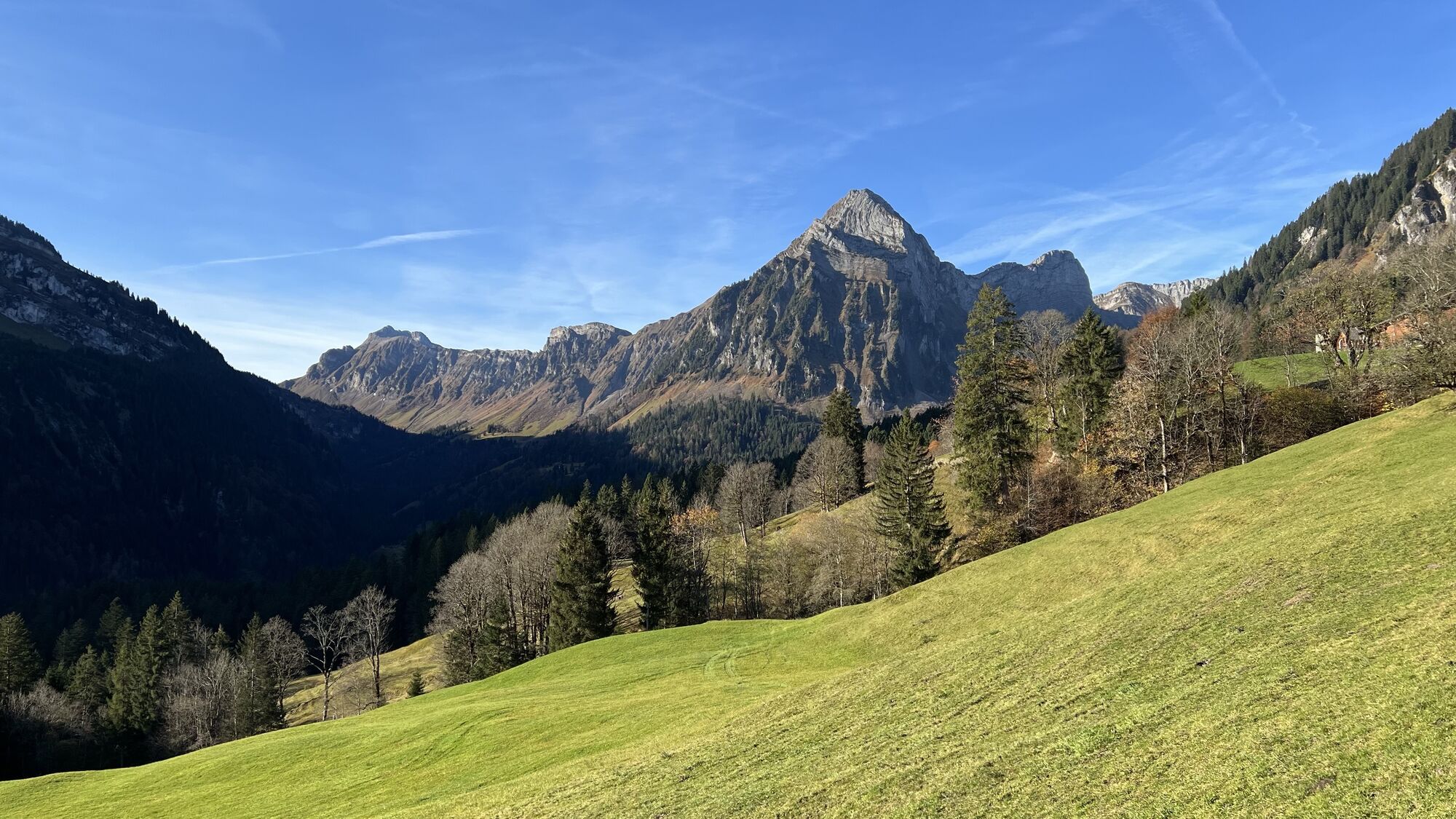
After crossing the Auenbach stream, the trail continues at the foot of the Brünnelistock through a rockfall area towards Sulzboden and down to Obersee.
Translated with DeepL.com (free version)
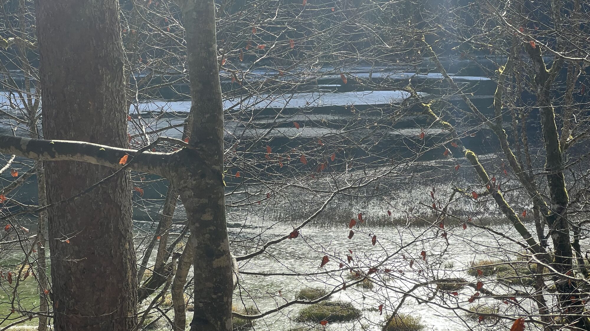
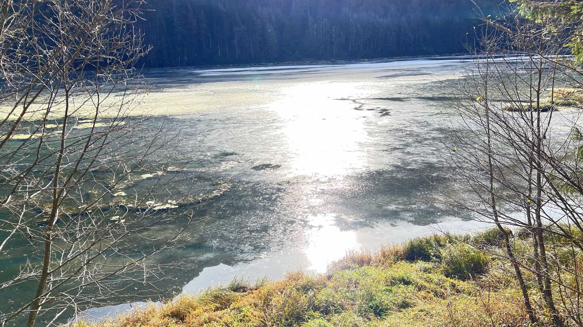
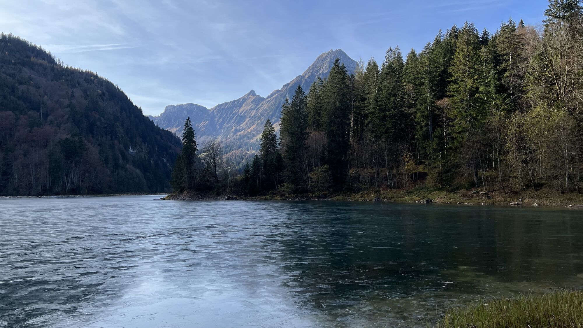


Kamery internetowe z trasy
Uzyskaj wgląd
Zawsze na żywo z ponad 9 500 kamer internetowych. bergfex Jako użytkownik Pro, możesz teraz zobaczyć odpowiednie kamery internetowe dla wielu wycieczek w aplikacji wycieczki od. Pozwala to na bezpośredni podgląd aktualnych warunków.


Popularne wycieczki w okolicy
-
4,8
Walensee Riviera Weesen - Quinten
średniWędrówka 10,2 km -
4,9
Rhodannenberg - Vorder Ruestelchopf - Vorauen - Steppel
Wędrówka 13,6 km -
4,6
Amden - Speer (Rundkurs)
światłoWędrówka 17,6 km -
5,0
Chli Aubrig
światłoWędrówka 8,51 km -
4,9
Quarten - Murgseehütte - Berggasthaus Murgsee - Glarus Nord
średniWędrówka 14,7 km -
4,8
Vorder Glärnisch
średniWędrówka 4,64 km -
3,8
Seerenbach waterfalls
światłoWędrówka 4,38 km -
5,0
Fronalpstock GL
średniWędrówka 7,84 km -
4,7
Rundwanderung Mürtschenstock
średniWędrówka 17,3 km -
4,7
Klöntalersee
światłoWędrówka 14,5 km
Wędrówki i tropienie


Nie przegap ofert i inspiracji na następne wakacje
Twój adres e-mail została dodana do listy mailingowej.





