


Neckertal Heights Route Stage 1
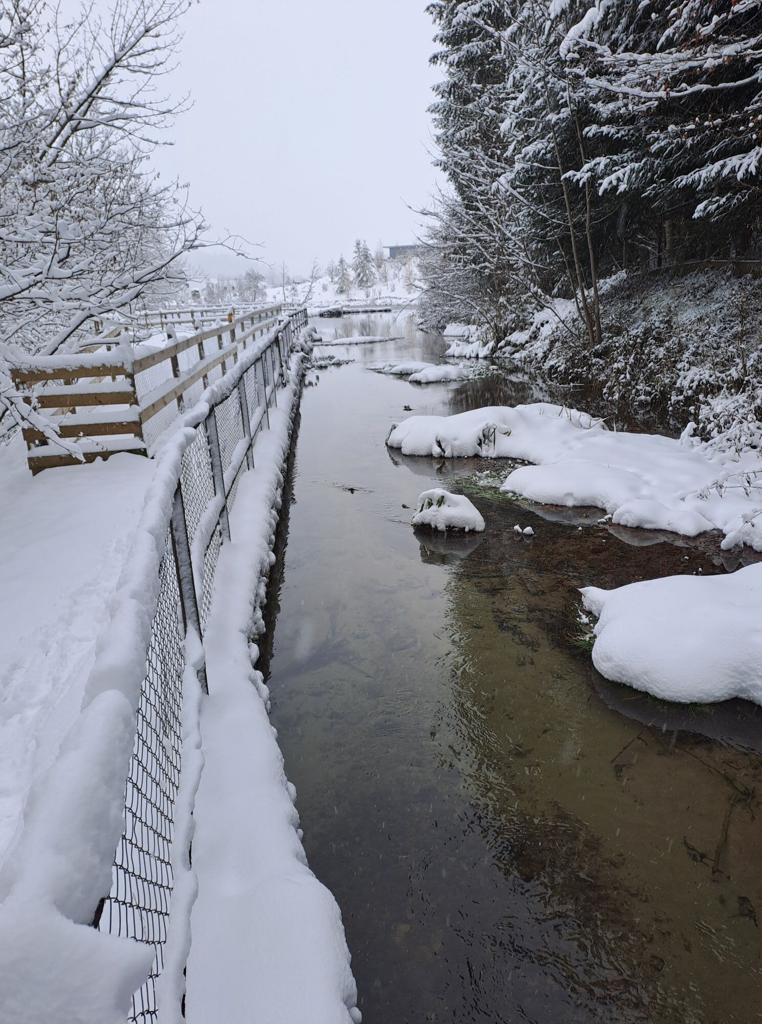
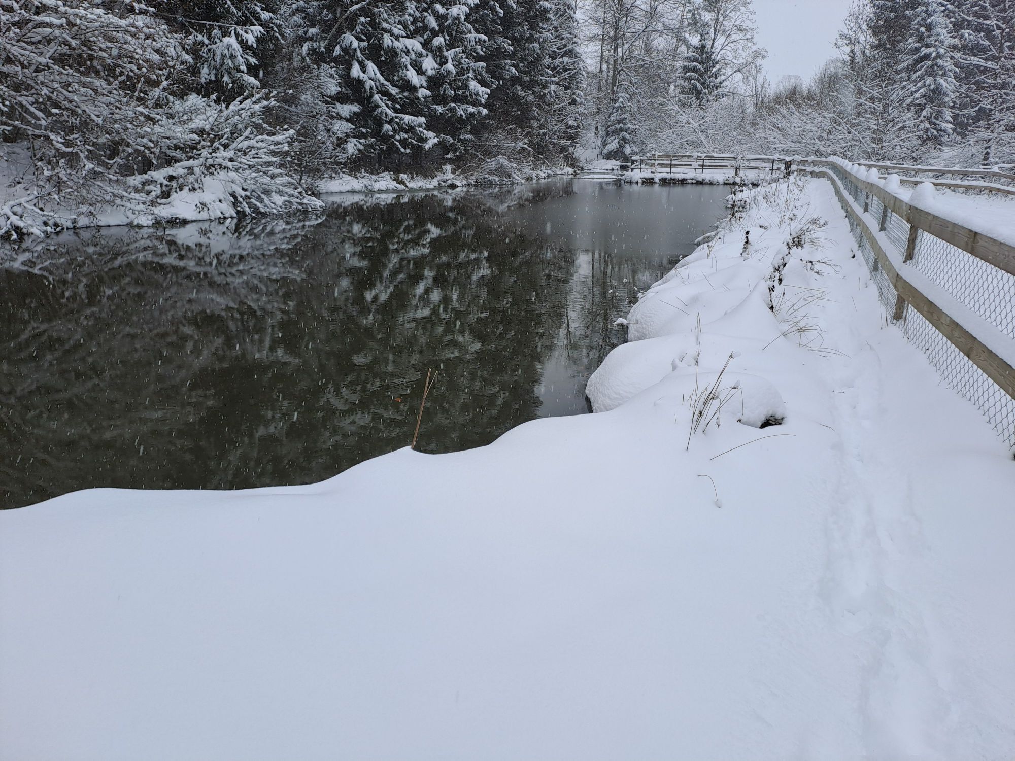
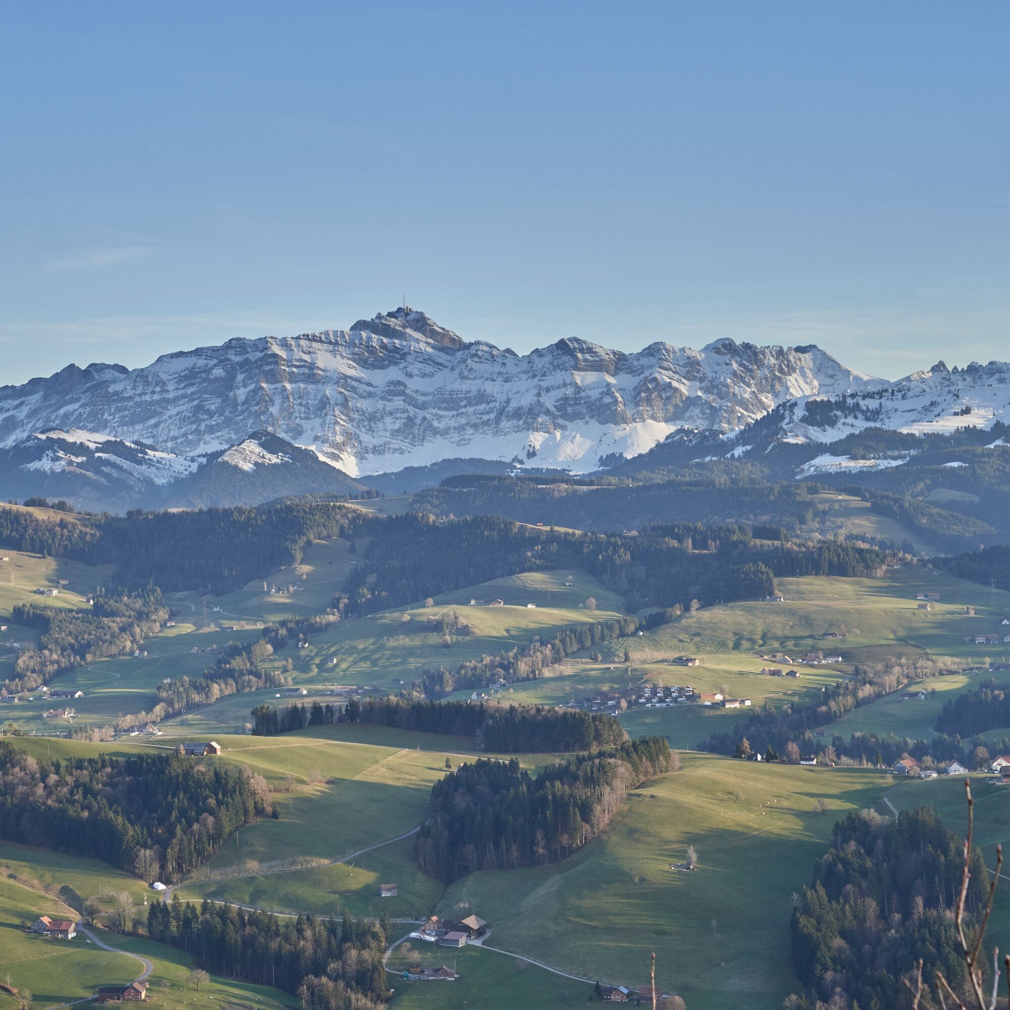
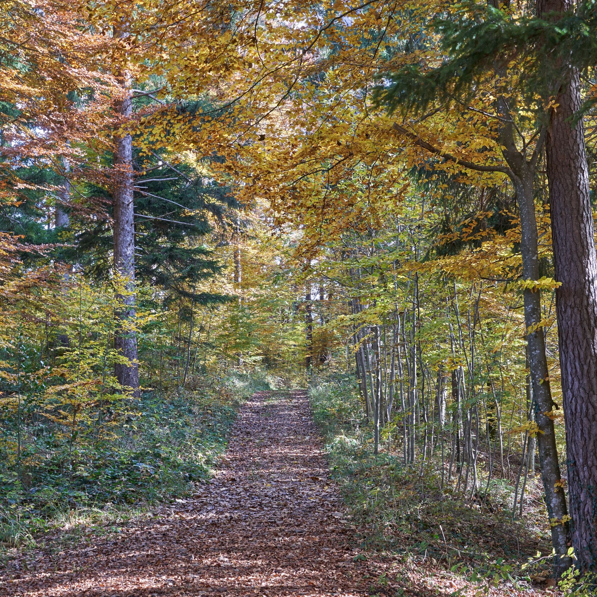
Zdjęcia naszych użytkowników
From the village of Mogelsberg, it goes up to Wilkethöchi with an impressive panoramic view. Passing the former embroidery village Dicken, the route leads up to the Bergli restaurant. Afterwards, the path...
From the village of Mogelsberg, it goes up to Wilkethöchi with an impressive panoramic view. Passing the former embroidery village Dicken, the route leads up to the Bergli restaurant. Afterwards, the path continues over the ridge with various viewpoints and restaurants and follows the well-known Jakobsweg for a stretch. Then it descends to the St. Gallen-Appenzell border village Wald-Schönengrund.

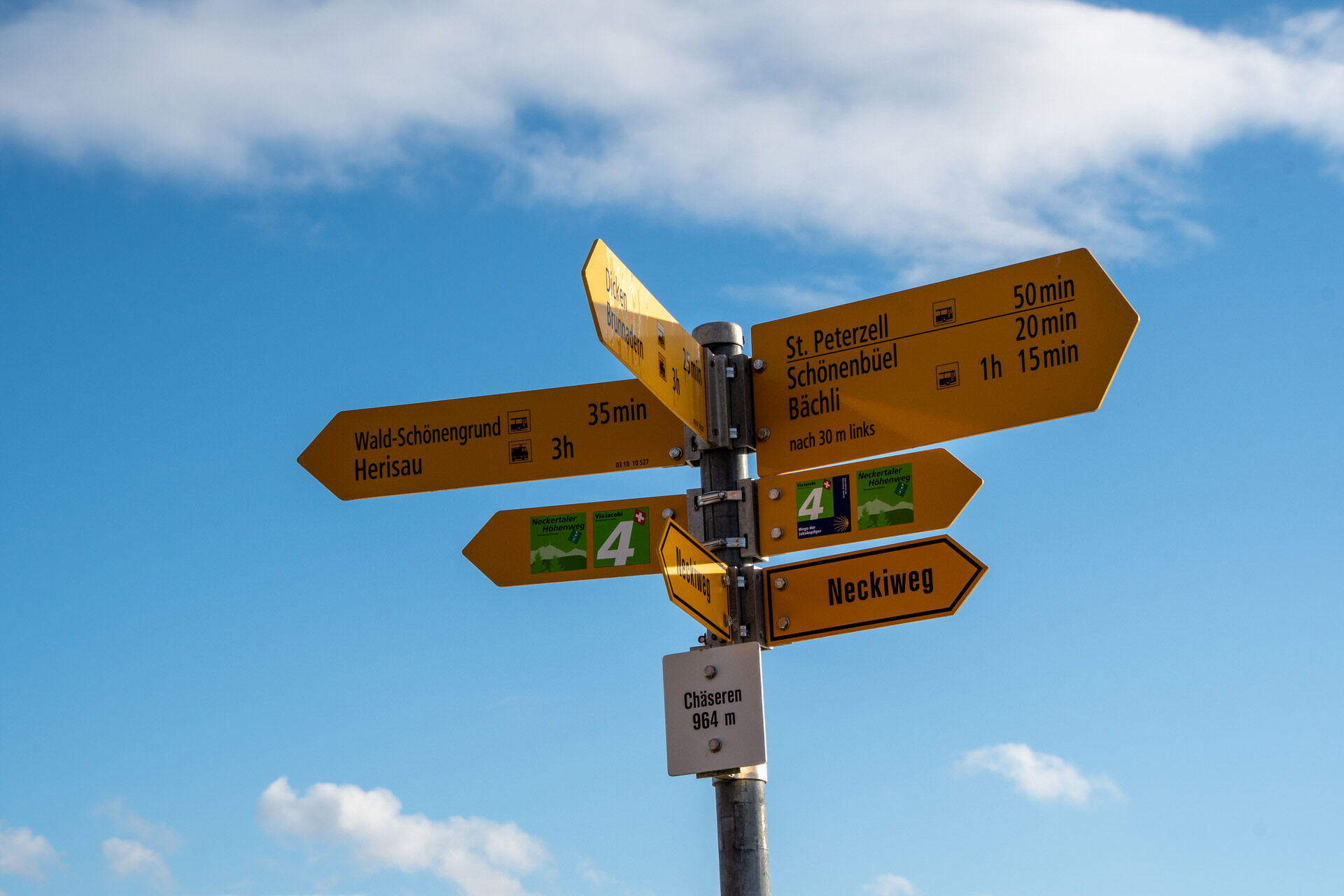
Mogelsberg - Steinwäldli - Wilkethöhe - Dicken - Bergli - Landscheide - Chäseren - Wald-Schönengrund
Day hiking backpack (about 20 liters) with rain cover, sturdy and comfortable footwear, weather-appropriate and durable clothing in layers, possibly telescopic poles, sun and rain protection, provisions and drinking water, first aid kit, pocket knife, mobile phone, possibly headlamp, map material
From Zurich, the route leads after the Wil motorway exit via Lütisburg and Ganterschwil to Mogelsberg. From St.Gallen, take the St.Gallen Winkeln motorway exit towards Herisau, Degersheim, and Hoffeld until the village of Mogelsberg is reached.
Arrival to Mogelsberg is possible by SBB via St.Gallen and Herisau or Wil and Lichtensteig.
There are enough parking spaces available at Mogelsberg train station.
Toggenburg Tourism
Hauptstrasse 104
CH-9658 Wildhaus
Tel: +41 (0)71 999 99 11
Email: info@toggenburg.swiss
Website: www.toggenburg.swiss
Plan a visit to the treetop walk to learn more about the fauna and flora of the region.
Popularne wycieczki w okolicy
- 4,6
Schwägalp - Berggasthaus Tierwies - Girenspitz - Säntis
ciężkiWędrówka 4,83 km - 4,7
Jakobsbad - Berggasthaus Kronberg und Bergstation - Kronberg - Restaurant Scheidegg
średniWędrówka 12,0 km - 4,9
Kronberg - Schwaegalp
światłoWędrówka 5,90 km - 4,7
Winterwanderung Jakobsbad - Kronberg
średniWędrówka zimą 7,69 km - 5,0
Chatzenloch hike with suspension bridge
światłoWędrówka 5,91 km Ski touring on the Stockberg
światłoWycieczka narciarska 6,51 kmHike from Hemberg to the Ofenloch
średniWędrówka 10,9 km- 4,5
Hike from Ebnat-Kappel to Tanzboden
średniWędrówka 14,5 km Mountain bike route to Schwägalp
ciężkiMountainbike 33,2 km- 4,0
Schönengrund - Hochhamm - Schönengrund
średniWędrówka 9,51 km

Wędrówki i tropienie


Nie przegap ofert i inspiracji na następne wakacje
Twój adres e-mail została dodana do listy mailingowej.