







Hike from Hemberg to the Ofenloch

You can reach the Ofenloch from Hemberg Gäwis (963) via Rütelistrasse to the parking lot of the former ski lift. The path continues to the right on Misteleggstrasse to the cozy Alpstöbli restaurant (partial...
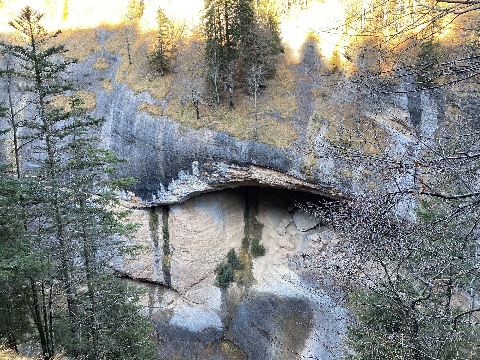
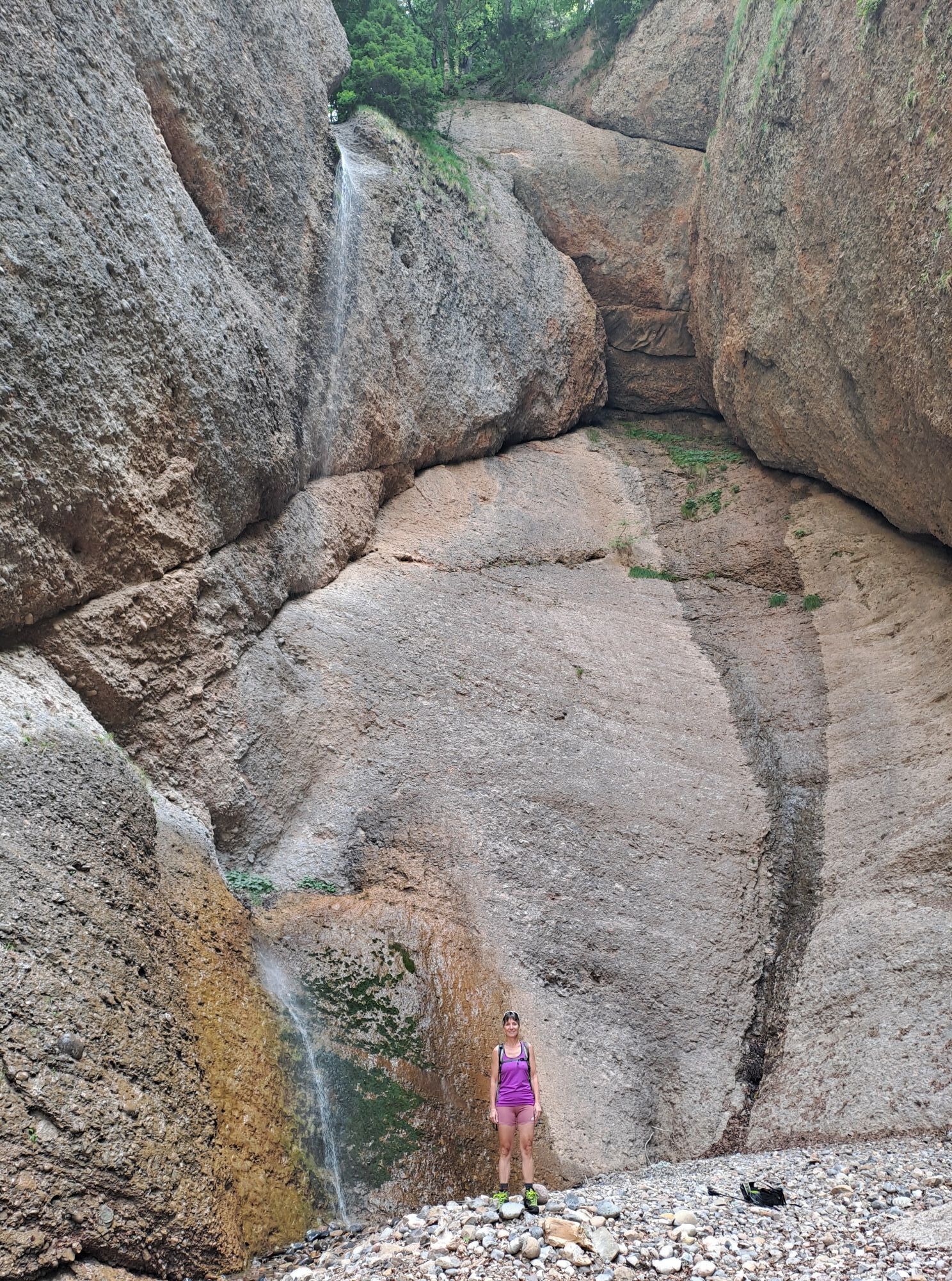
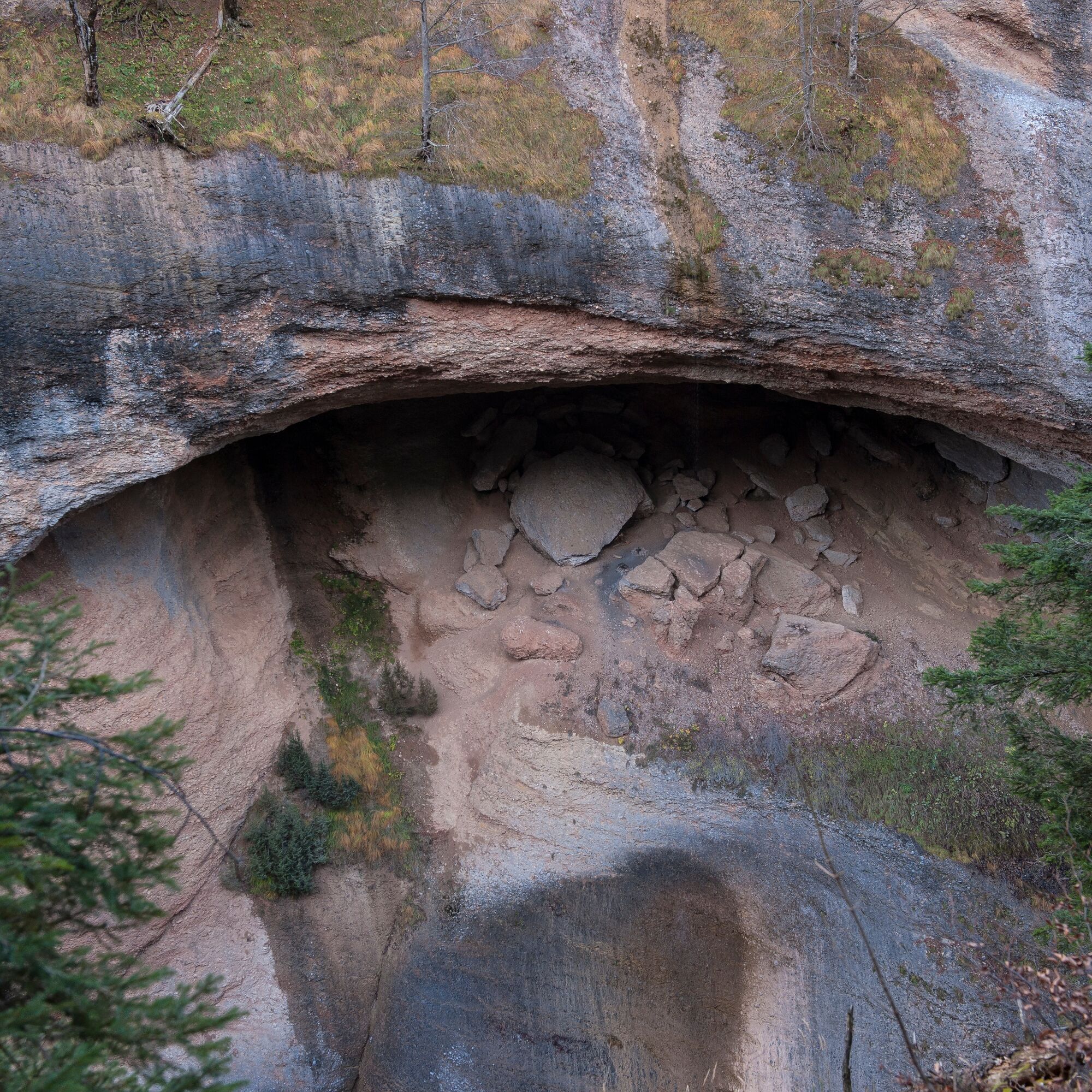
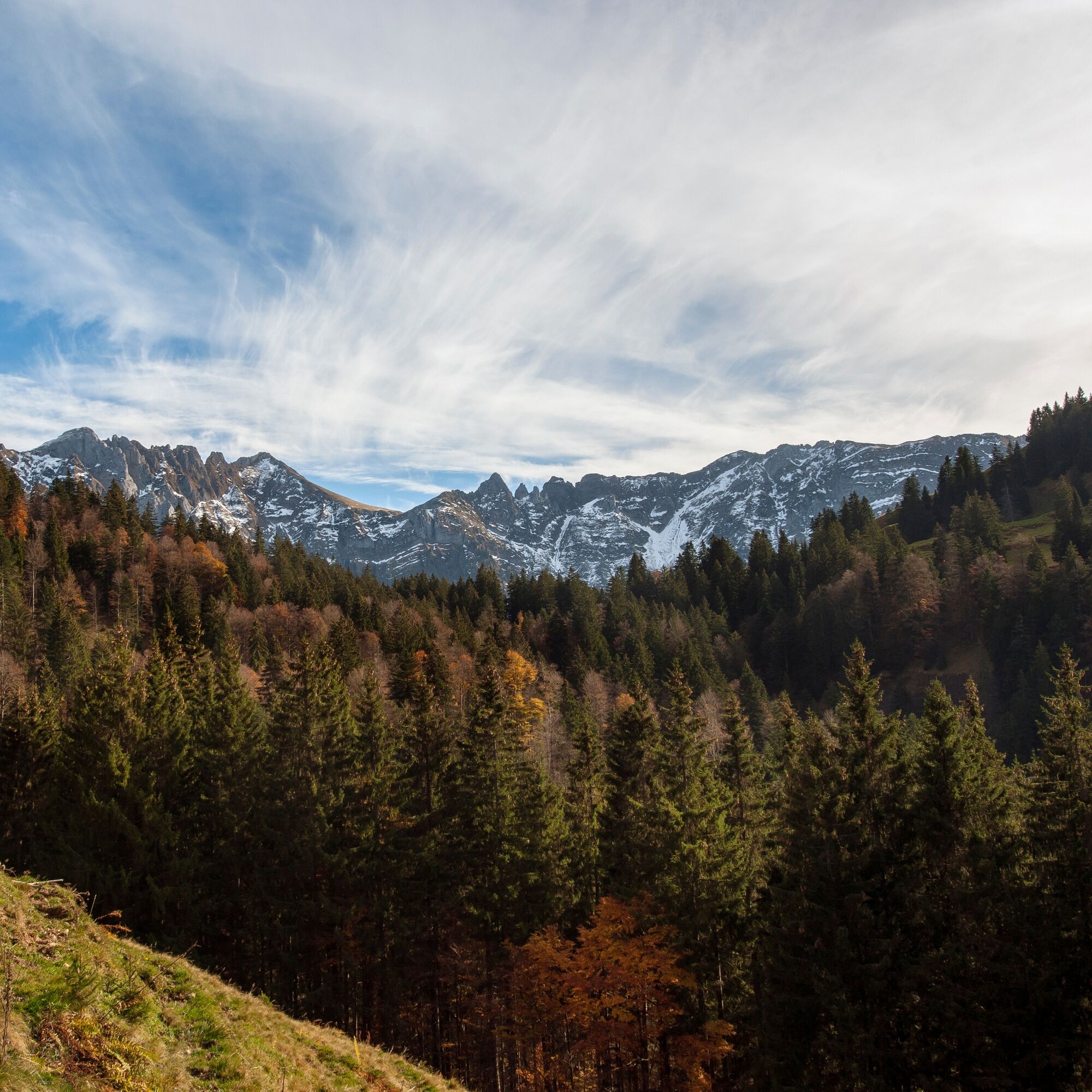
You can reach the Ofenloch from Hemberg Gäwis (963) via Rütelistrasse to the parking lot of the former ski lift. The path continues to the right on Misteleggstrasse to the cozy Alpstöbli restaurant (partial route of circular route H5). From there, the route runs to Vordernecker (890), through the rear Neckertal via Groppennecker (944) to Ampferenboden (1047). Here it is worth enjoying the wide expanse of the Necker. Fire pits invite you to picnic. Now you have to master about 300 vertical meters to the Alp Neuwald before descending again to the first Necker tributaries at about 1170 m above sea level. The view from up here into the gorge and the Ofenloch is impressive! After taking in the impressions, the same path leads back to Hemberg (3 hours) or continues via Ellbogen to Ennetbühl (2 hours).

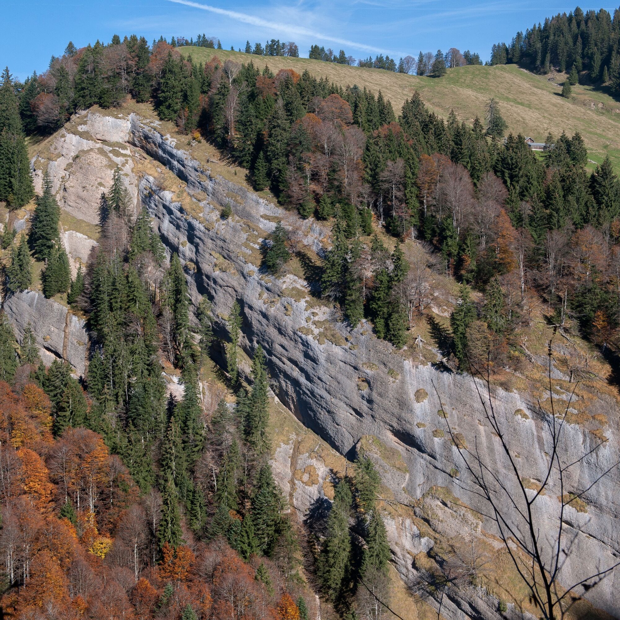
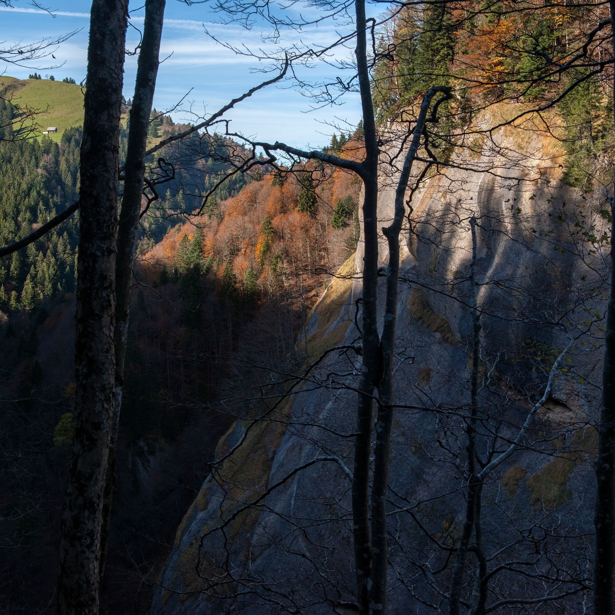
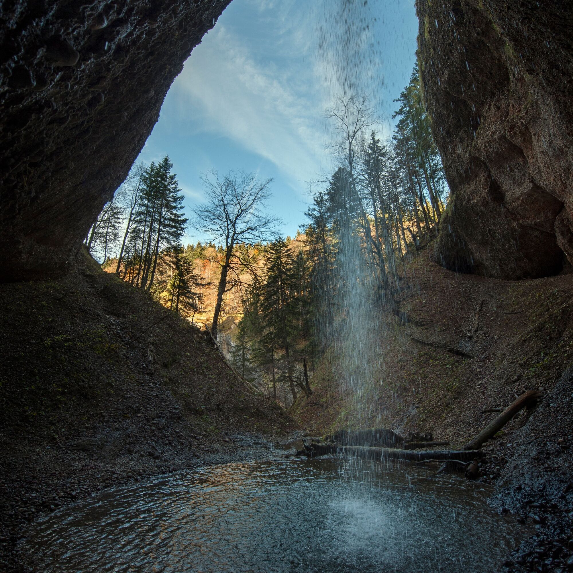
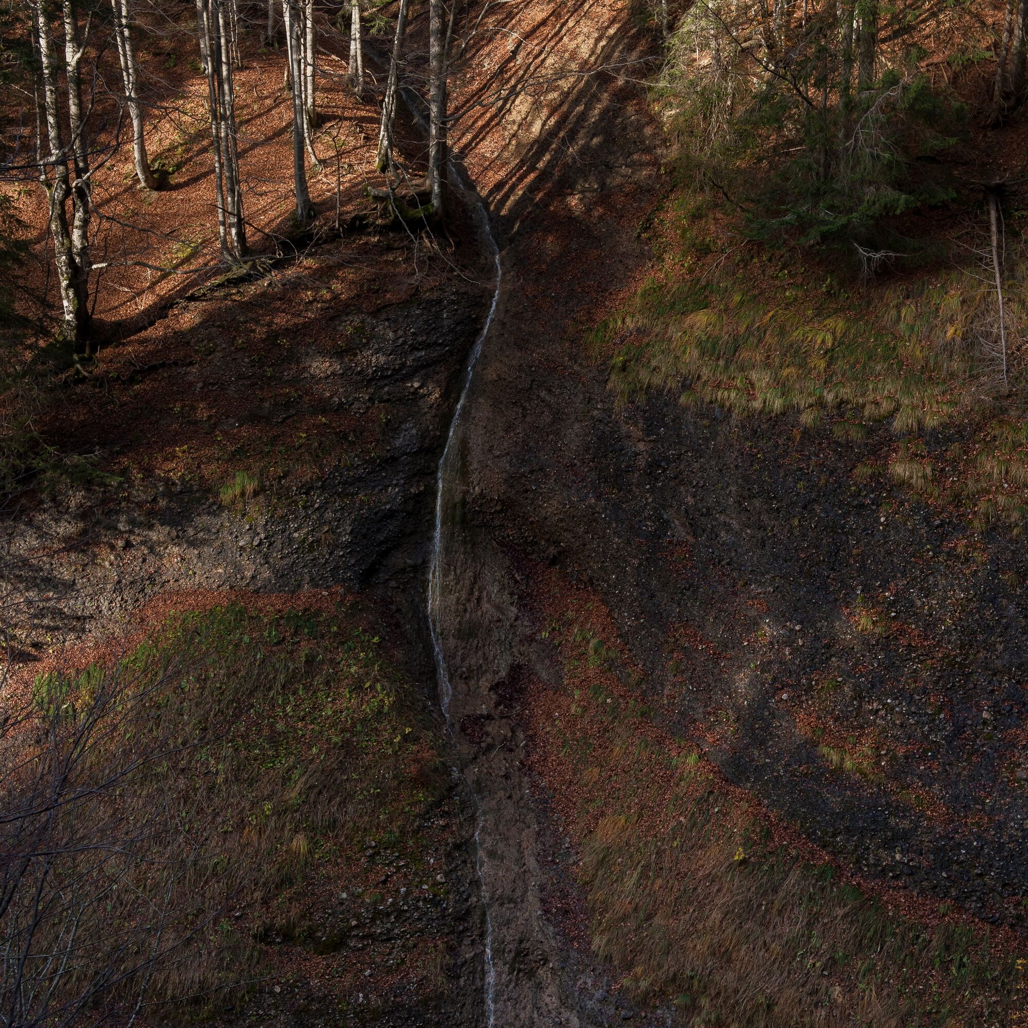

Hemberg - Oberdorf - former ski lift parking lot - Mistelegg - Ampferenboden - Ofenloch
Tak
Day hiking backpack (approx. 20 liters) with rain cover, sturdy and comfortable footwear, weather-appropriate and durable layered clothing, possibly telescopic poles, sun and rain protection, provisions and drinking water, first aid kit, pocket knife, mobile phone, possibly headlamp, map material
The mountain hike is walkable from about the end of May to October.
Note: Driving is prohibited at the Alpstöbli Mistelegg restaurant and Vordernecker from Vordernecker onwards.
By PostBus to Hemberg or to the Rütelirank stop.
There are enough parking spaces in the village of Hemberg.
Toggenburg Tourism
Hauptstrasse 104
9658 Wildhaus, Switzerland
+41 71 999 99 11
info@toggenburg.swiss
www.toggenburg.swiss
Kamery internetowe z trasy

Popularne wycieczki w okolicy
-
4,9
Säntis-Gipfeltour, Wasserauen / Appenzell Innerrhoden
ciężkiWędrówka 21,1 km -
4,6
Wasserauen - Seealpsee - Wasserauen
średniWędrówka 7,71 km -
4,6
Säntis
średniWycieczki górskie 17,5 km -
4,7
Schwende, Appenzell Innerrhoden
średniWędrówka 11,8 km -
4,6
Amden - Speer (Rundkurs)
światłoWędrówka 17,6 km -
4,7
Schwägalp - Berggasthaus Tierwies - Girenspitz - Säntis
ciężkiWędrówka 4,83 km -
4,9
Wasserauen - Klein Hütten - Bogartenlücke - Marwees - Meglisalp - Klein Hütten - Wasserauen
średniWędrówka 14,4 km -
4,8
Wassrauen - Schäfler Gipfel
średniWędrówka 10,6 km -
4,6
Mountain route over Rotsteinpass to Säntis
ciężkiWędrówka 8,53 km -
4,3
Traumhafte 3-Seen/Hütten Runde in Appenzell Schweiz
średniWycieczka wysokogórska 19,7 km

Wędrówki i tropienie


Nie przegap ofert i inspiracji na następne wakacje
Twój adres e-mail została dodana do listy mailingowej.





