


Märzeglöggli / Gypsum Tunnel Route
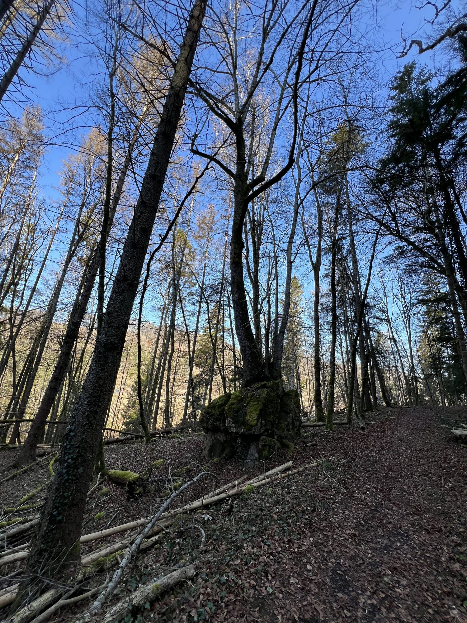

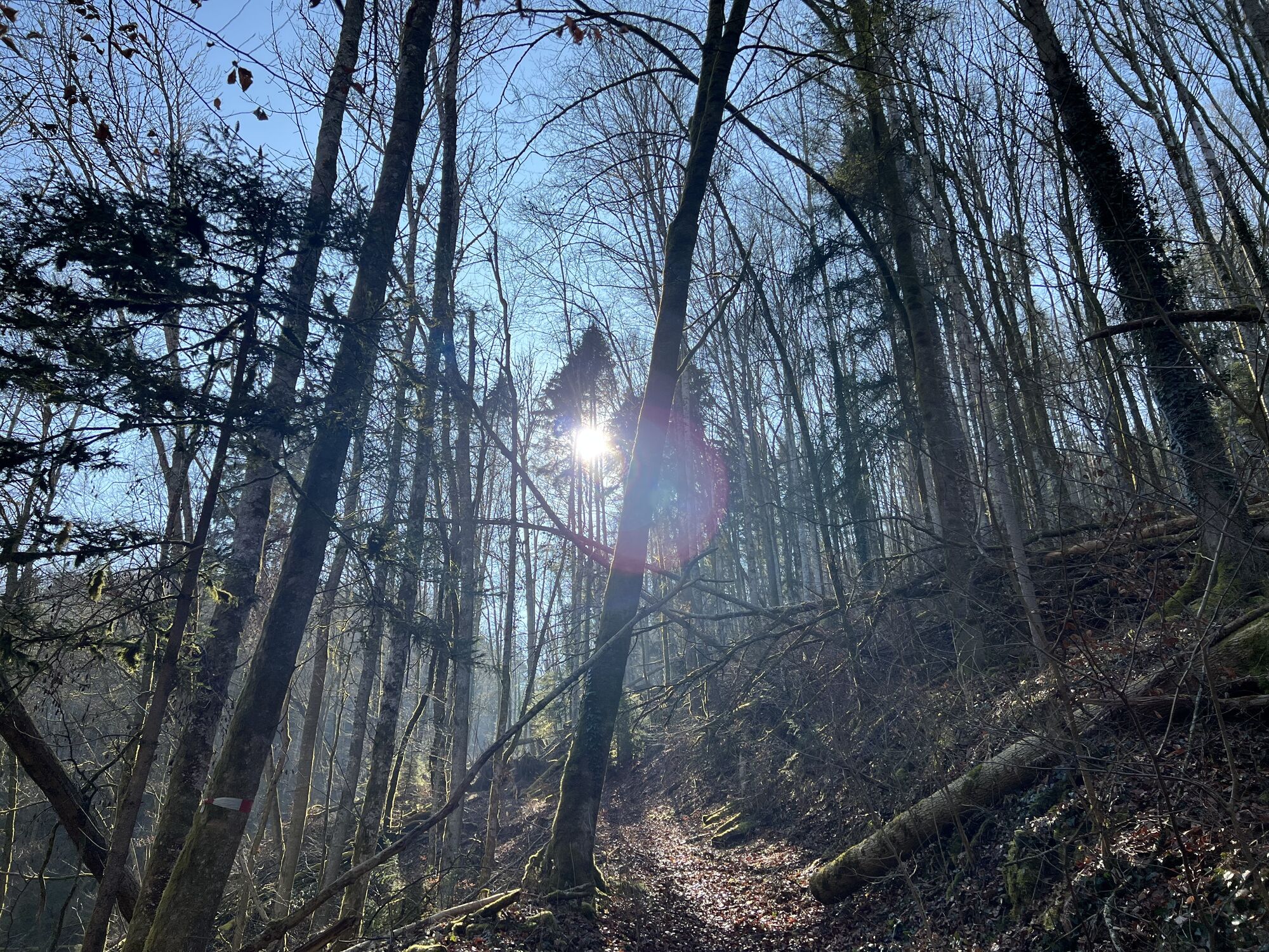
This route is especially recommended in spring because this is the right time to observe the blooming of the Märzeglöggli. Of course, this route can also be well walked until November. It is particularly...
This route is especially recommended in spring because this is the right time to observe the blooming of the Märzeglöggli. Of course, this route can also be well walked until November. It is particularly suitable for families interested in nature.
Sights:
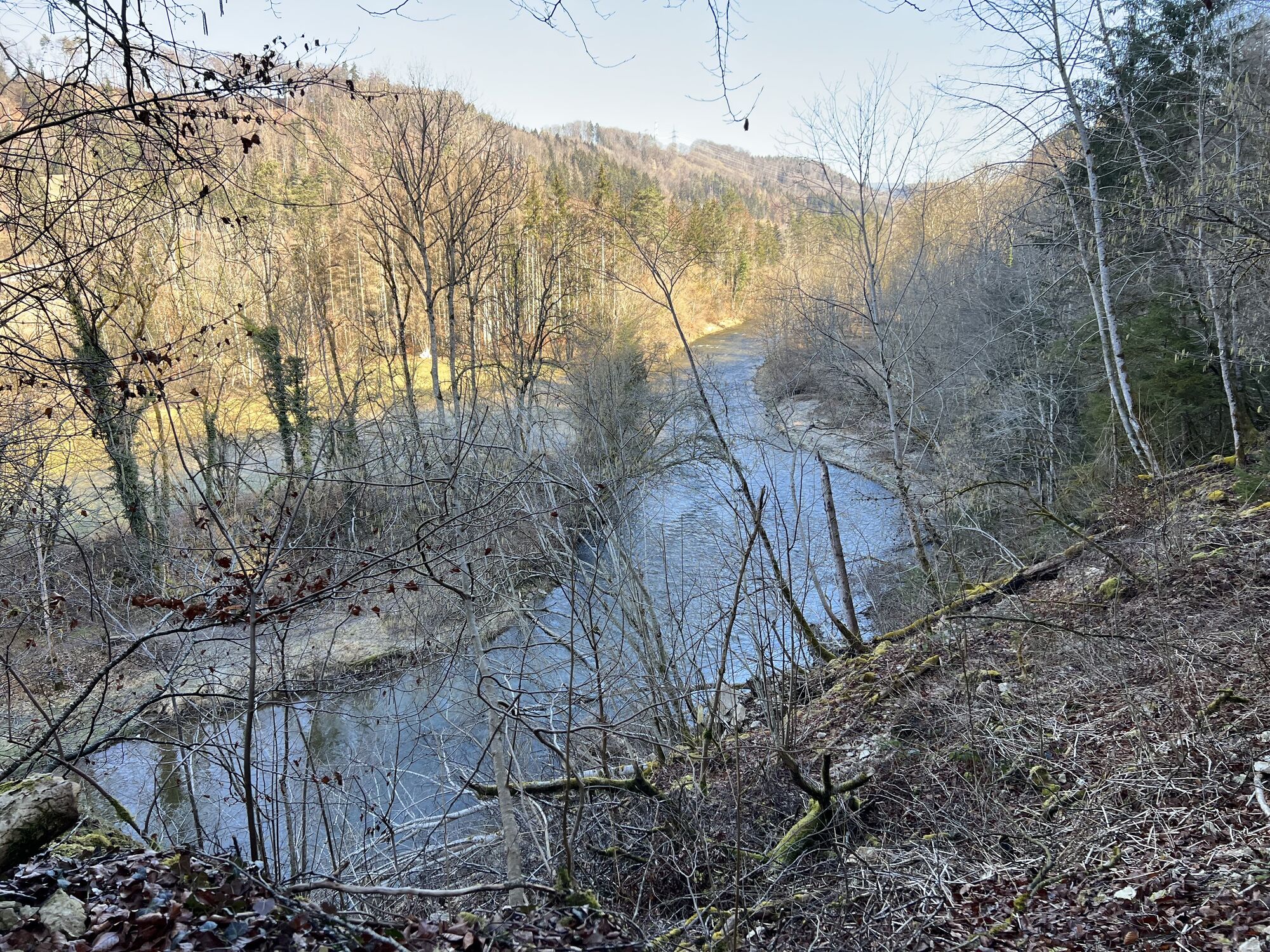
Floodplain forest reserve
This area floods during high water and serves as a retention basin. No trees are cut down. ETH Zurich uses it for study purposes.
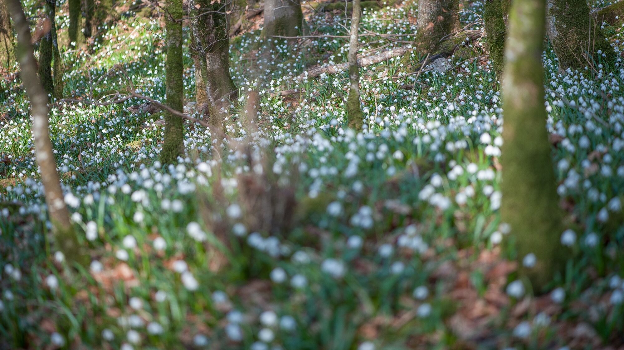
Märzeglöggli
30 to 40 years ago, the Märzeglöggli had to be guarded. Today they are respected and have multiplied into the hundreds of thousands.
At the end of February, beginning of March, as soon as the snow has melted, they already bloom. In large numbers they form a true carpet of splendor!
Weirs
Until 1995 the Wutach was dammed here so that more water flowed into the factory channel of Gonon Kunststoffe to drive a small hydroelectric power plant. Later the weirs were dismantled and a shallow fish ramp was built.
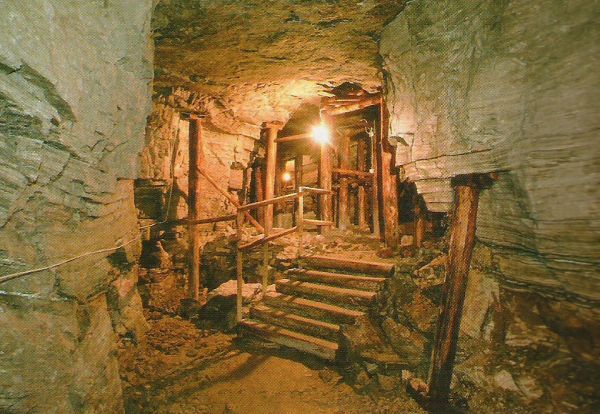
Gypsum museum and gypsum tunnel
200 m secured and walkable tunnel. Museum gypsum mill, gypsum stamping mill and many everyday objects.
Opening hours: Every first Sunday of the month (April to October), guided tours at 14:00, 14:45 and 15:30, also by appointment (Tel: +41 (0)79 744 89 20)
Note(s)
The border can be crossed at the floodplain forest or at the Wiizemer bridge. Please carry valid identification.
The route can also be walked in the opposite direction.


Schleitheim Gemeindehausplatz - Ländli - Seldenhalde - Oberwiesen - Schleitheim station
Good footwear, snacks and drinks for in between.
Starting point: Schleitheim Gemeindehausplatz
Route planner
Bus stop Schleitheim Alderstrasse (2 min to starting point Schleitheim Gemeindehausplatz)
Parking options in Schleitheim are limited.
Gypsum Tunnel Museum, Schleitheim
Popularne wycieczki w okolicy
-
4,7
Wutachschlucht Rundwanderung im Süd Schwarzwald
średniWędrówka 9,76 km -
4,6
Small Rheinfall Circular Route
światłoWędrówka 3,48 km -
5,0
Premium Hiking Trail - 3-Schluchten Tour
średniTrasa tematyczna 9,62 km -
5,0
Wutachschlucht+Lotenbachklamm
światłoWędrówka 10,0 km -
5,0
Circular hike over the Hinterranden
średniWędrówka 11,0 km -
4,3
Wutach, Deutschland
średniWędrówka 14,6 km -
Circular hike Schaffhausen - Rhine Falls - Schaffhausen
średniWędrówka 10,0 km -
4,5
Nature trail Merishausen: Brown route
średniTrasa tematyczna 11,4 km -
4,5
SchweizMobil 593: Nordspitze Panoramaweg
średniWędrówka 13,7 km -
SwitzerlandMobility 896: Rhine Falls Circular Route
średniWędrówka 7,12 km
Wędrówki i tropienie


Nie przegap ofert i inspiracji na następne wakacje
Twój adres e-mail została dodana do listy mailingowej.