


Randen - Hagentour (Schleitheim-Beggingen)
Ideal hiking route for anyone interested in the Randental. Of course, children won’t lack a place to play. Nature lovers and history enthusiasts also get their money's worth. Additionally, this route takes...
Ideal hiking route for anyone interested in the Randental. Of course, children won’t lack a place to play. Nature lovers and history enthusiasts also get their money's worth. Additionally, this route takes you along field, hiking, and meadow paths to famous and lesser-known viewpoints.
Schleitheimer Randenturm
Built in 1909. Beautiful viewpoint towards the Black Forest. The Randenturm inn is open from May to October.
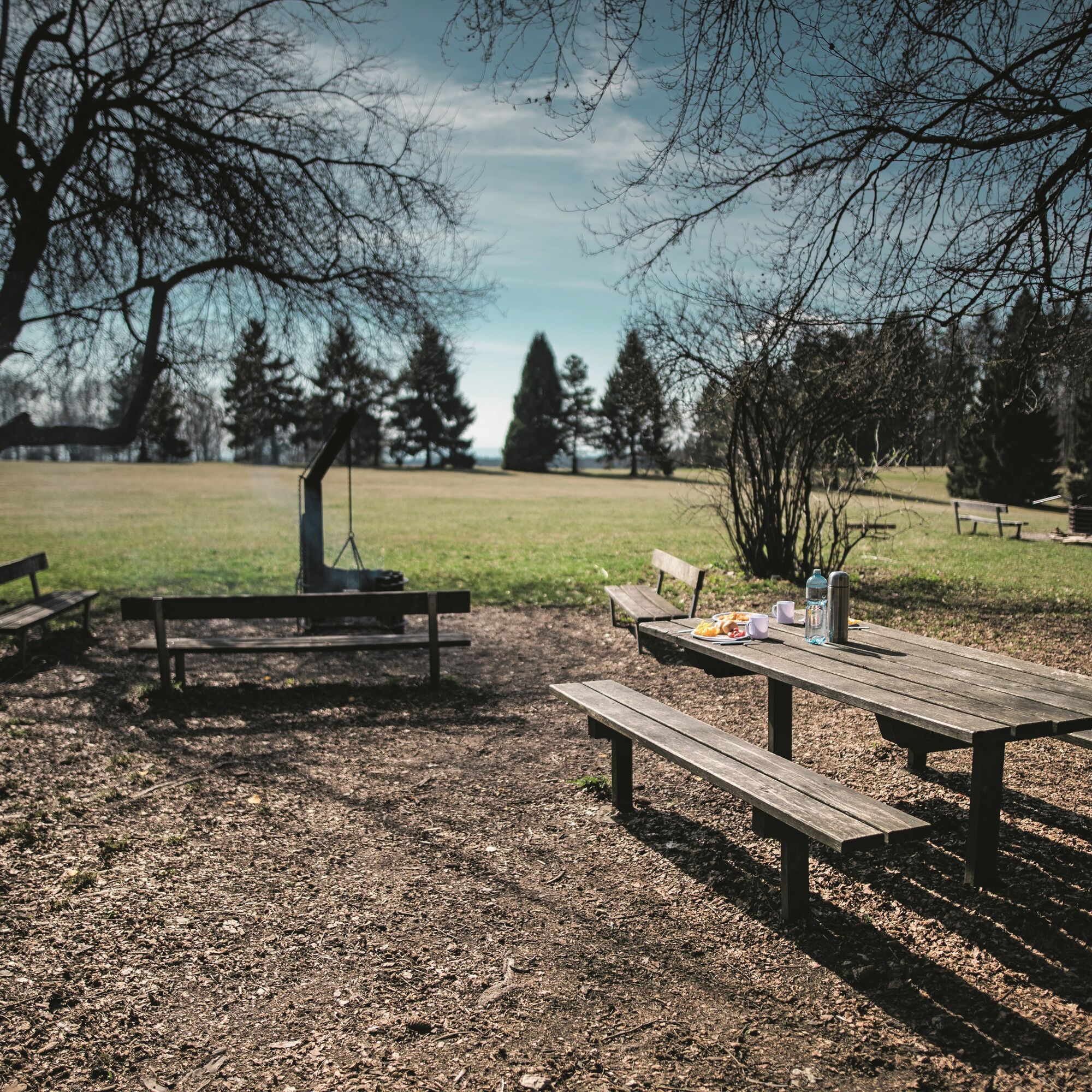
Zelgli Play Meadow
Public, large play meadow with a fireplace.
Anniversary Forest
On December 26, 1999, large areas of forest were blown down by the Lothar storm. To commemorate the 500th anniversary of the canton of Schaffhausen joining the confederation, a 1 ha anniversary forest was planted.
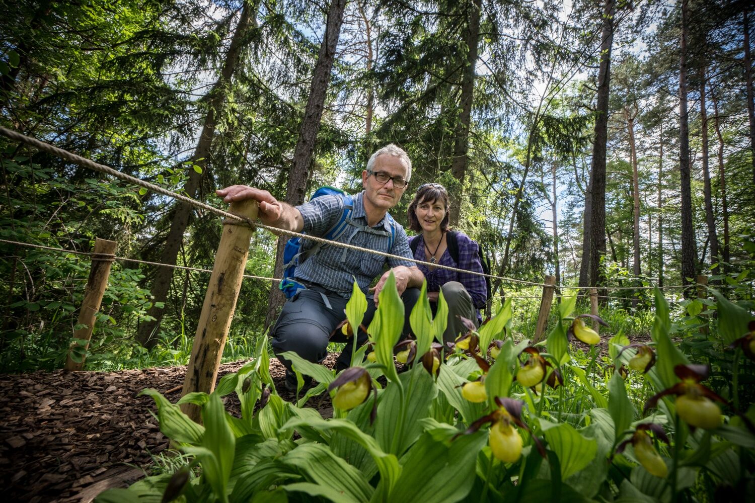
Orchids
At the end of May / beginning of June, orchids bloom here, especially the lady's slipper orchid.
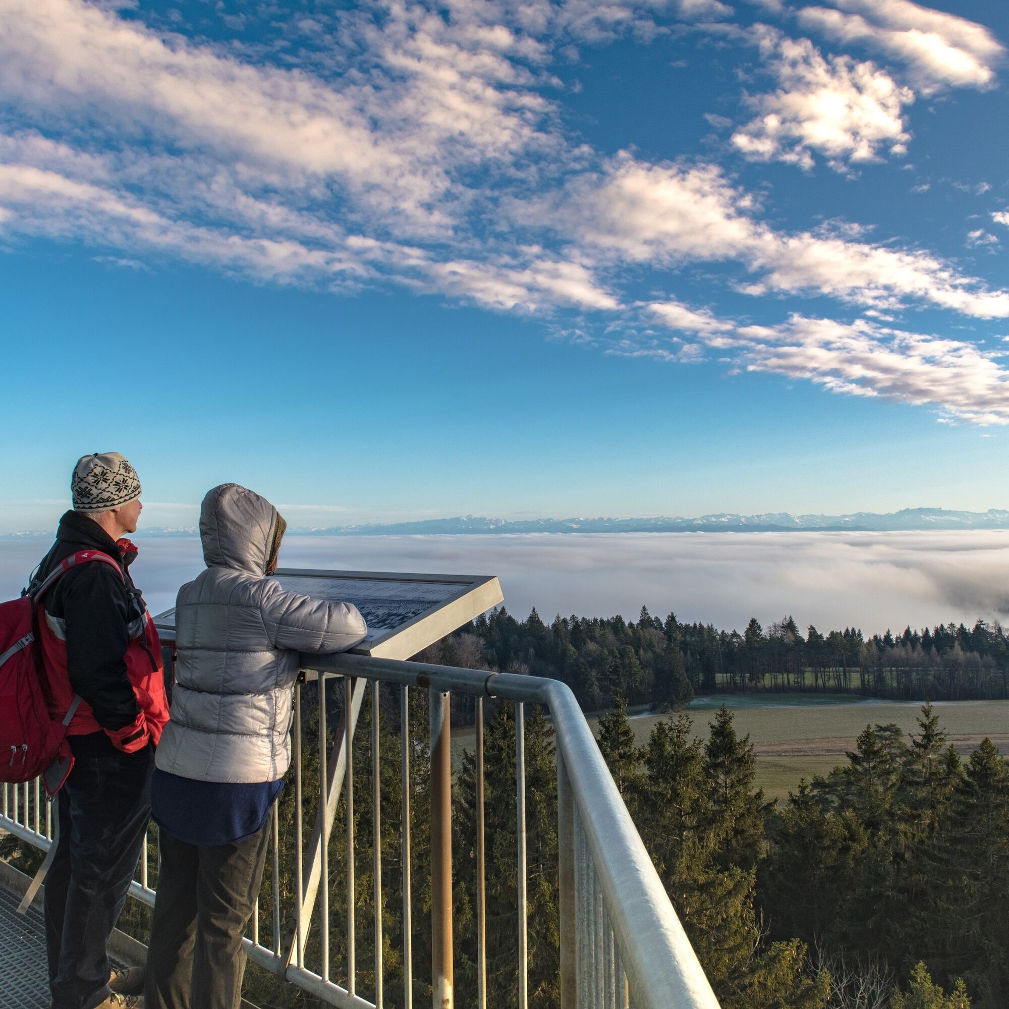
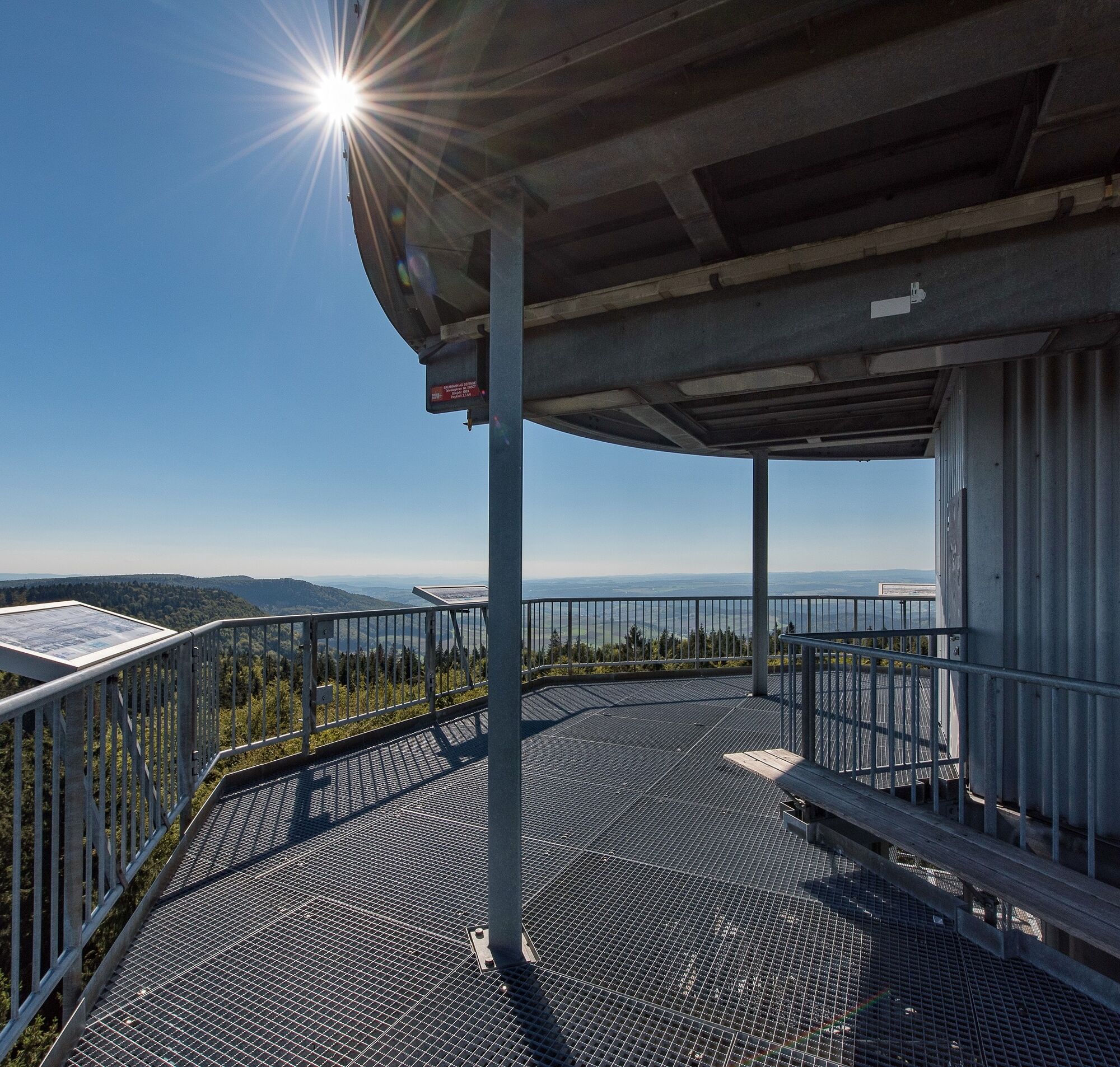
Hagenturm
Observation tower towards the volcano hills of Hegau (Hohentwiel, Hohenstoffel, etc.).
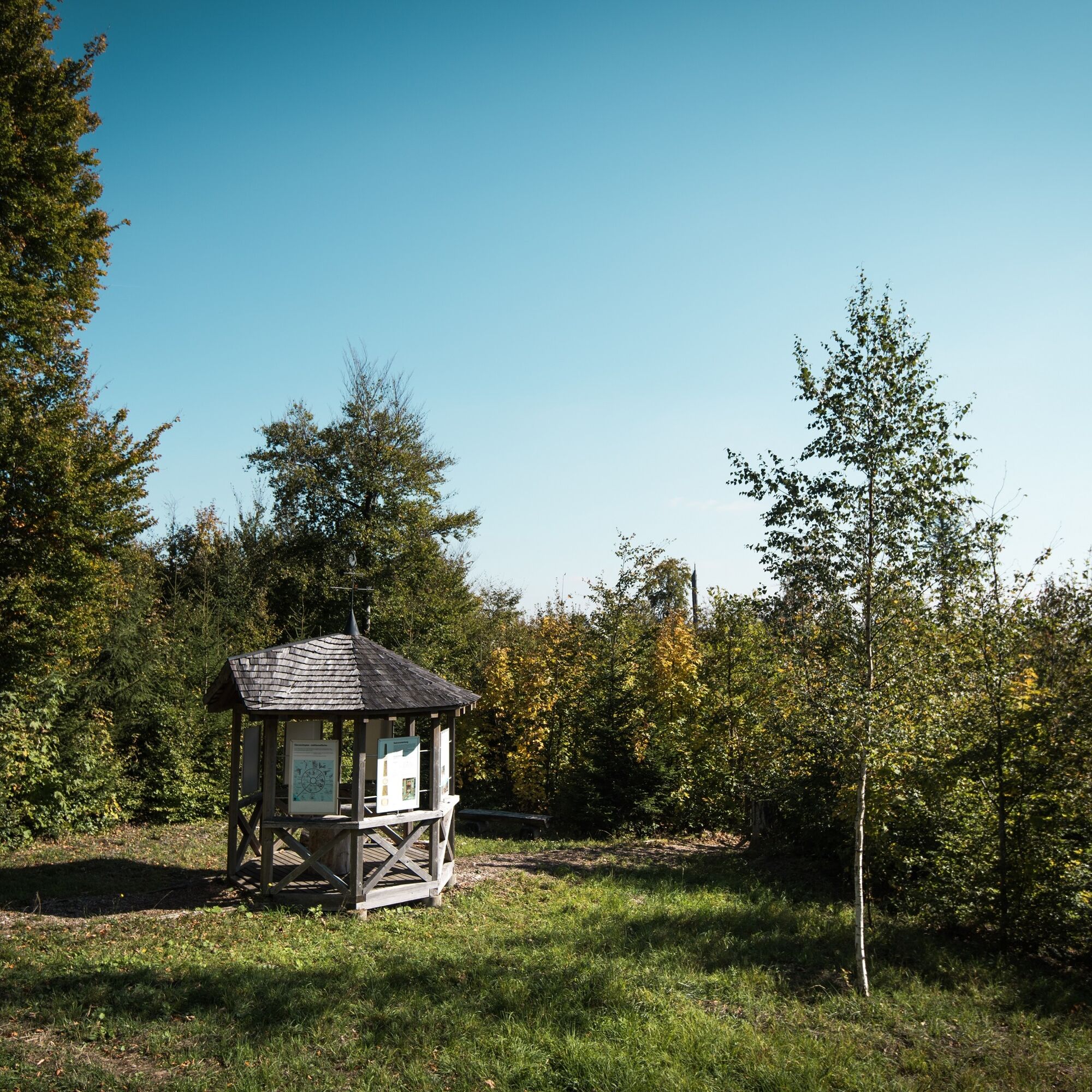
Mördergärtli
During the Thirty Years' War, on October 2, 1633, Beggingen residents and soldiers from Schaffhausen were murdered here by imperial troops. As a memorial, this commemorative stone was erected on August 27, 1975.

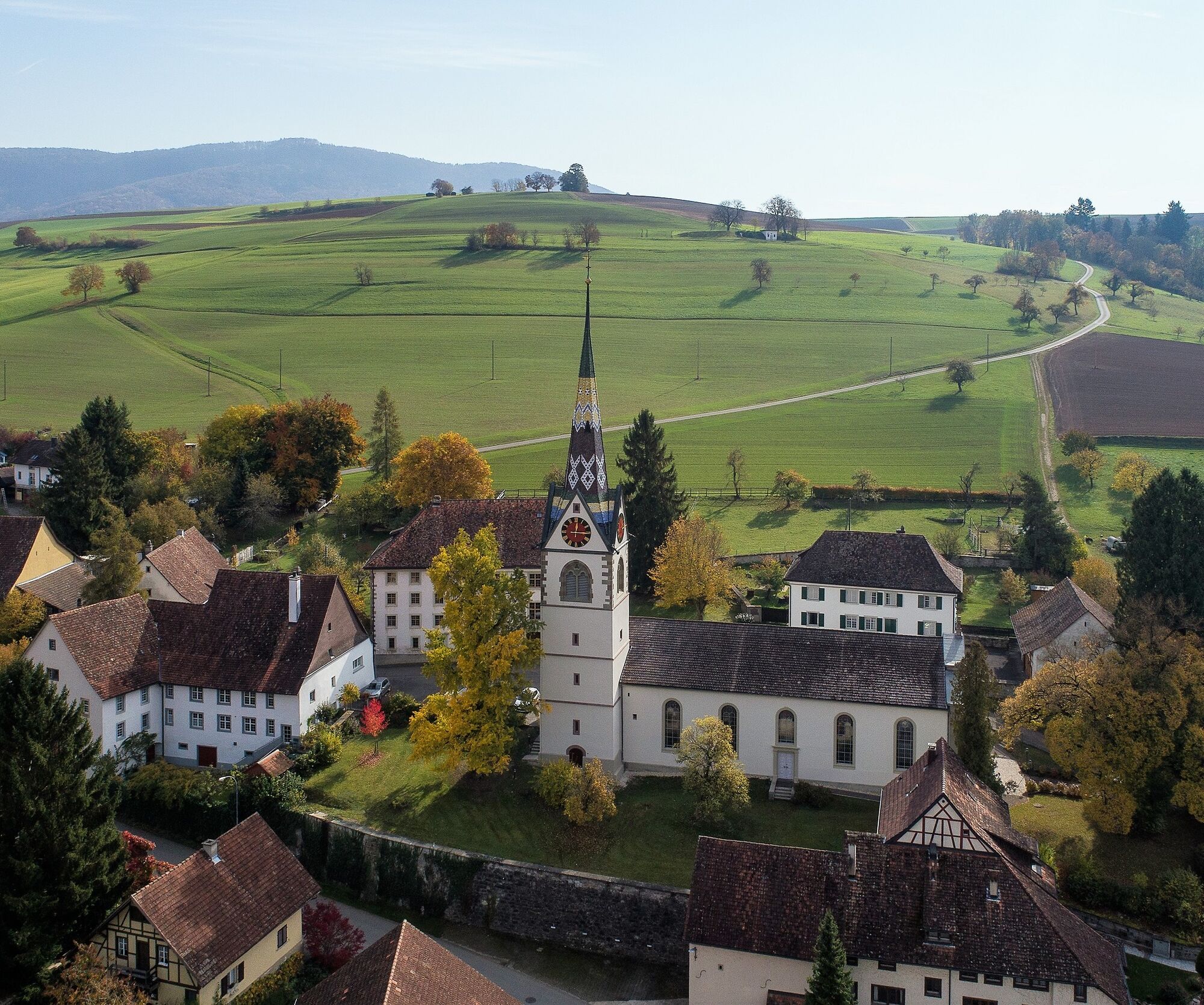


Schleitheim - Randenturm - Hagenturm - Beggingen
The hiking route starts in Schleitheim, and shortly after begins the ascent to the Schleitheimer Randenturm. The route then continues over the Zälgli and past other viewpoints, such as the Hasenbuck and Ob Lucken (launch site for paragliders). After about 10.5 kilometers, you reach the Hagenturm, which also offers a great view. In good weather, you can see from the Black Forest to the Alps.
Once you have passed the Hagenturm, a descent to Beggingen begins shortly afterwards.
Good footwear, snacks for in between.
Starting point: Schleitheim Dorf
Starting point: Schleitheim, Bahnhofstrasse bus stop.
End point: Beggingen, Dorf bus stop
During peak times, a bus runs every half hour from Beggingen back to Schleitheim.
Parking facilities are available in limited numbers.
Hagenturm, Merishausen
Schleitheimer Randenturm, Schleitheim
Ob Lucken, Beggingen
Popularne wycieczki w okolicy
- 4,7
Wutachschlucht Rundwanderung im Süd Schwarzwald
średniWędrówka 9,76 km - 4,6
Small Rheinfall Circular Route
światłoWędrówka 3,48 km - 5,0
Premium Hiking Trail - 3-Schluchten Tour
średniTrasa tematyczna 9,62 km - 4,8
Rundwanderweg Rheinau
światłoWędrówka 6,85 km - 3,3
"Hegauer Kegelspiel" Wannenberg hike
średniWędrówka 9,35 km - 5,0
Circular hike over the Hinterranden
średniWędrówka 11,0 km Circular hike Schaffhausen - Rhine Falls - Schaffhausen
średniWędrówka 10,0 km- 4,5
Nature trail Merishausen: Brown route
średniTrasa tematyczna 11,4 km - 4,5
SchweizMobil 593: Nordspitze Panoramaweg
średniWędrówka 13,7 km SwitzerlandMobility 896: Rhine Falls Circular Route
średniWędrówka 7,12 km

Wędrówki i tropienie


Nie przegap ofert i inspiracji na następne wakacje
Twój adres e-mail została dodana do listy mailingowej.