


Alpöhi's Long Trail
Zdjęcia naszych użytkowników
-
 © Tinneke GiesUtworzono dnia 22.09.2022
 -
 © Tinneke GiesUtworzono dnia 22.09.2022
 -
 © Tinneke GiesUtworzono dnia 22.09.2022
 -
 © Tinneke GiesUtworzono dnia 22.09.2022
 -
 © Tinneke GiesUtworzono dnia 22.09.2022
 -
 © Tinneke GiesUtworzono dnia 22.09.2022
 -
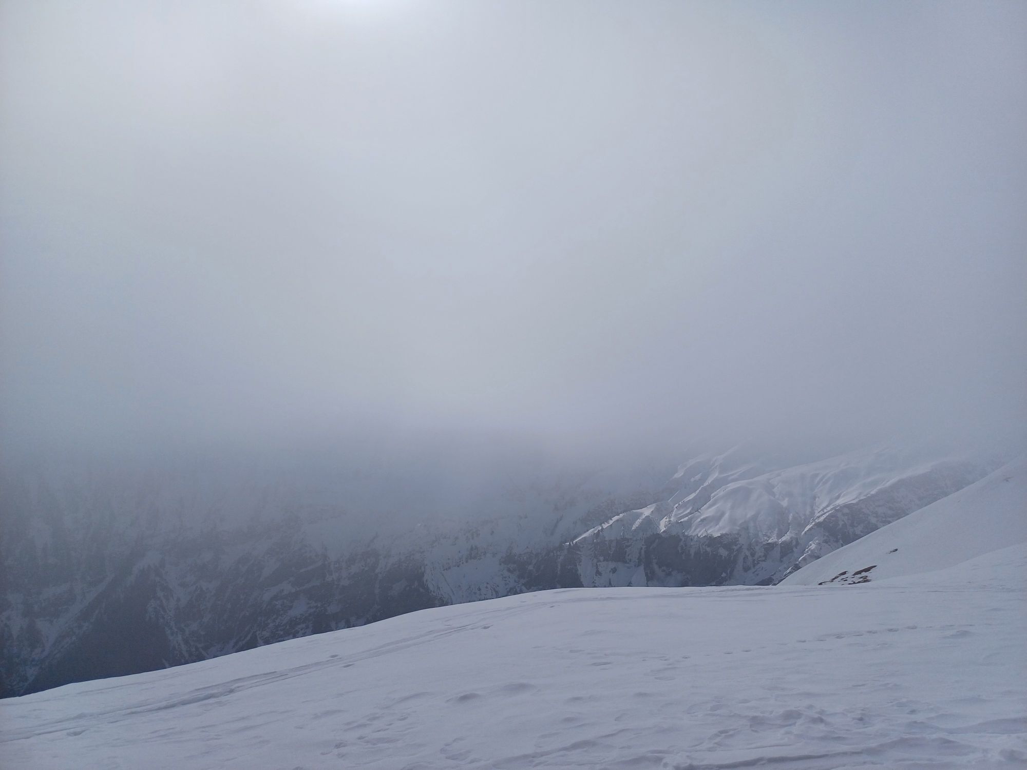
 © Till Michael DrechselUtworzono dnia 28.03.2026
 -
 © Adriana JedrzejewskaUtworzono dnia 27.02.2026
 -

 © M7kolaj3Utworzono dnia 27.01.2026
 -
 © M7kolaj3Utworzono dnia 26.01.2026
 -

 © Marlyse LeuUtworzono dnia 23.02.2025
 -
 © Marlyse LeuUtworzono dnia 23.02.2025
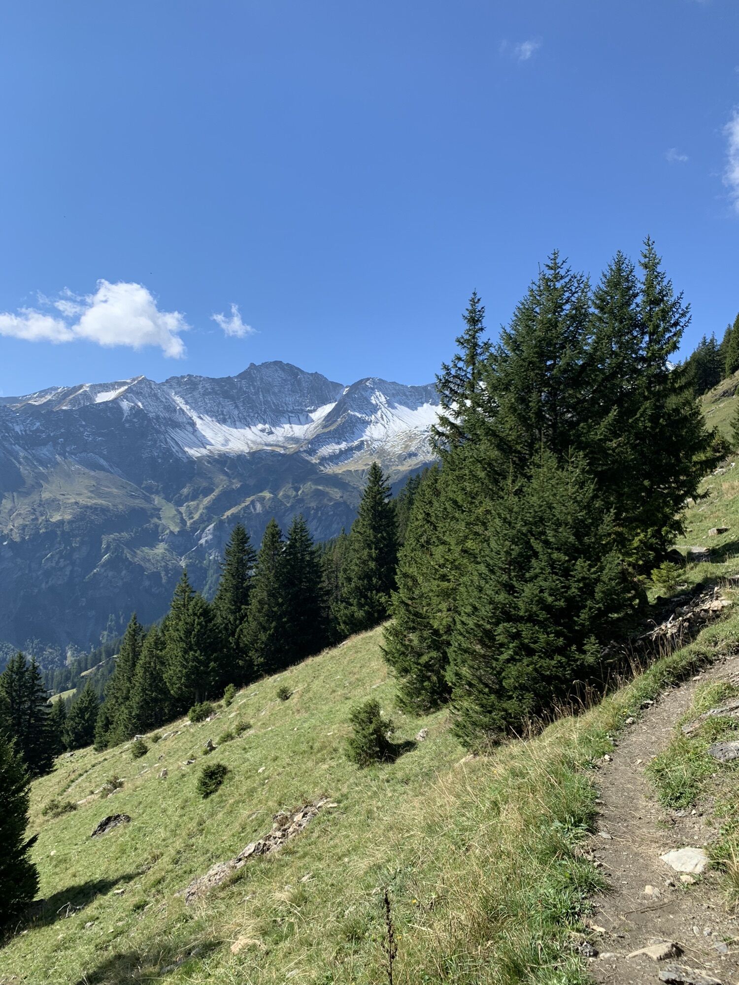
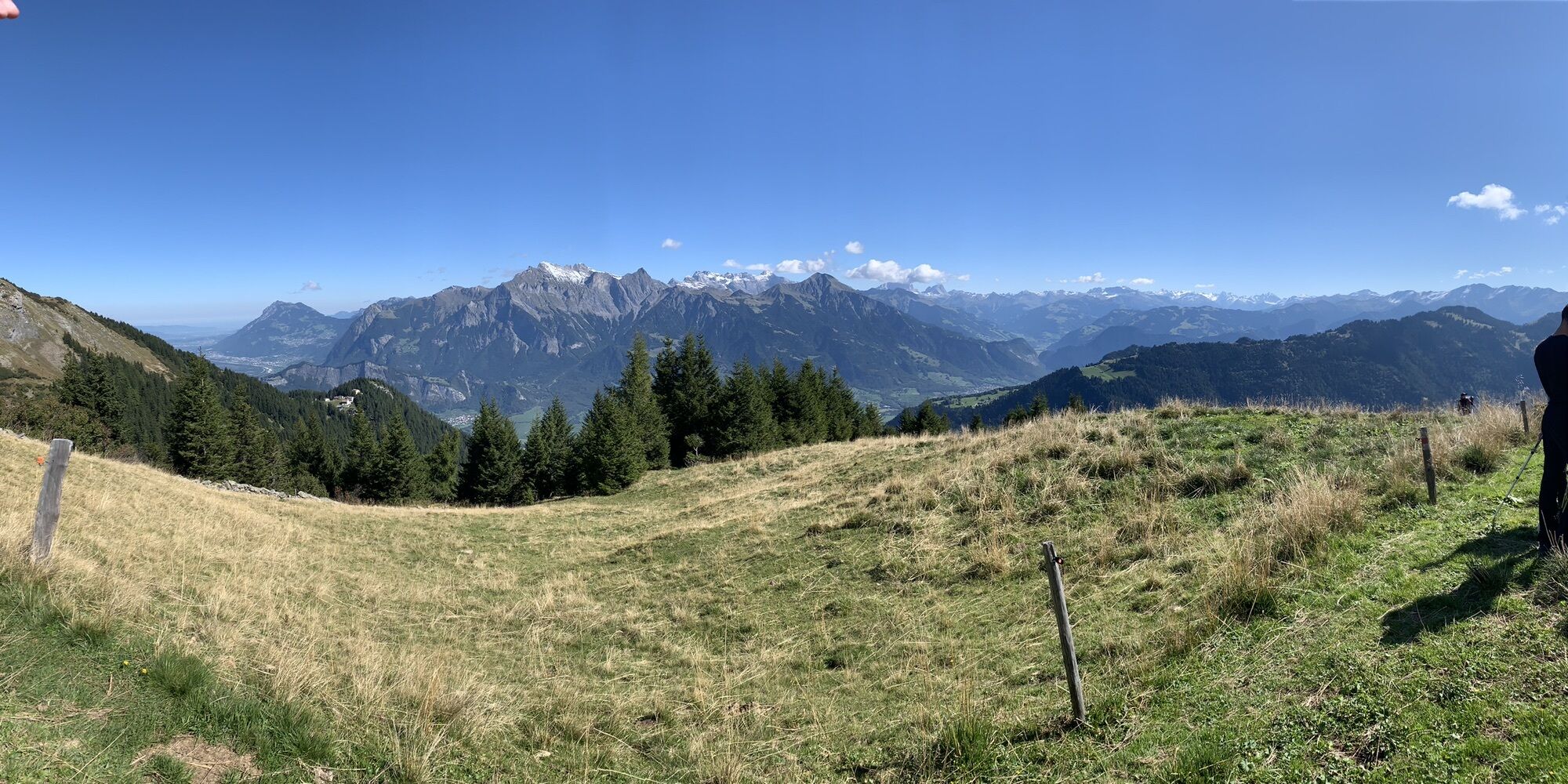
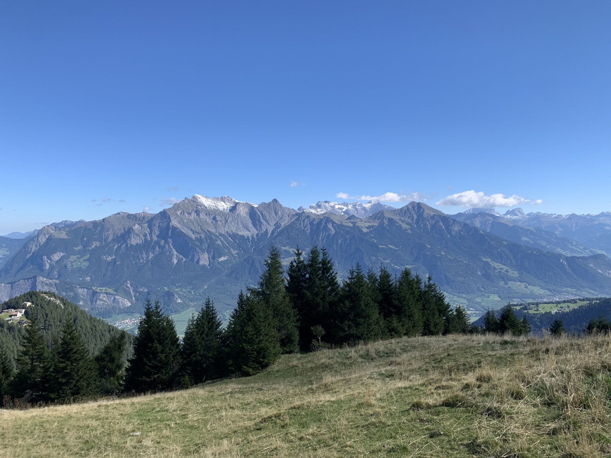

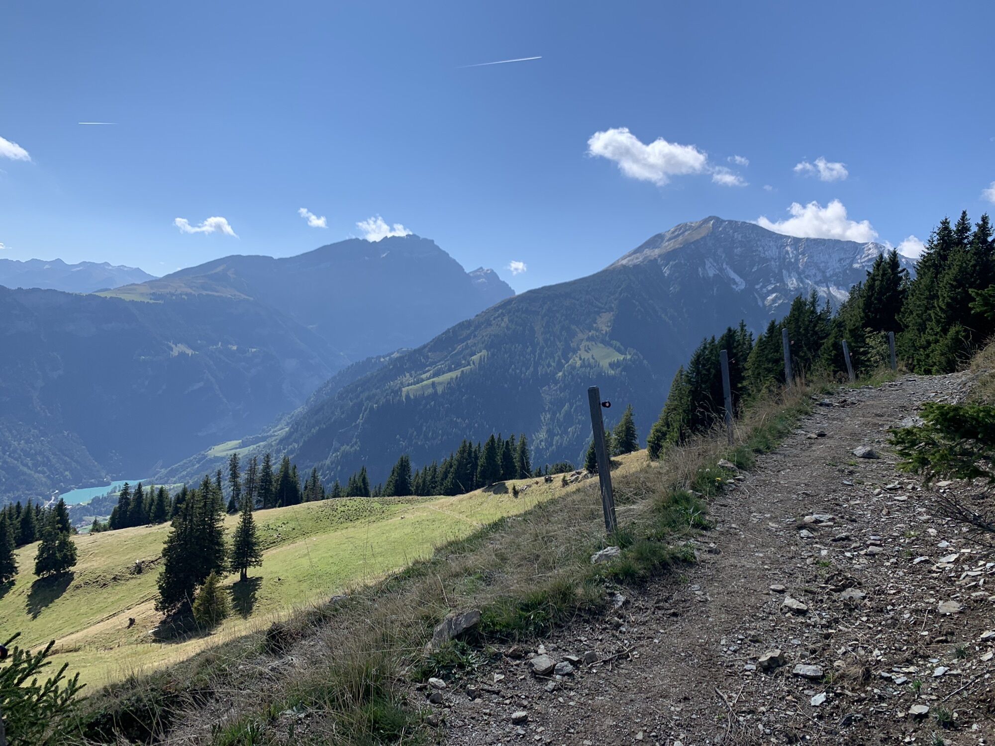

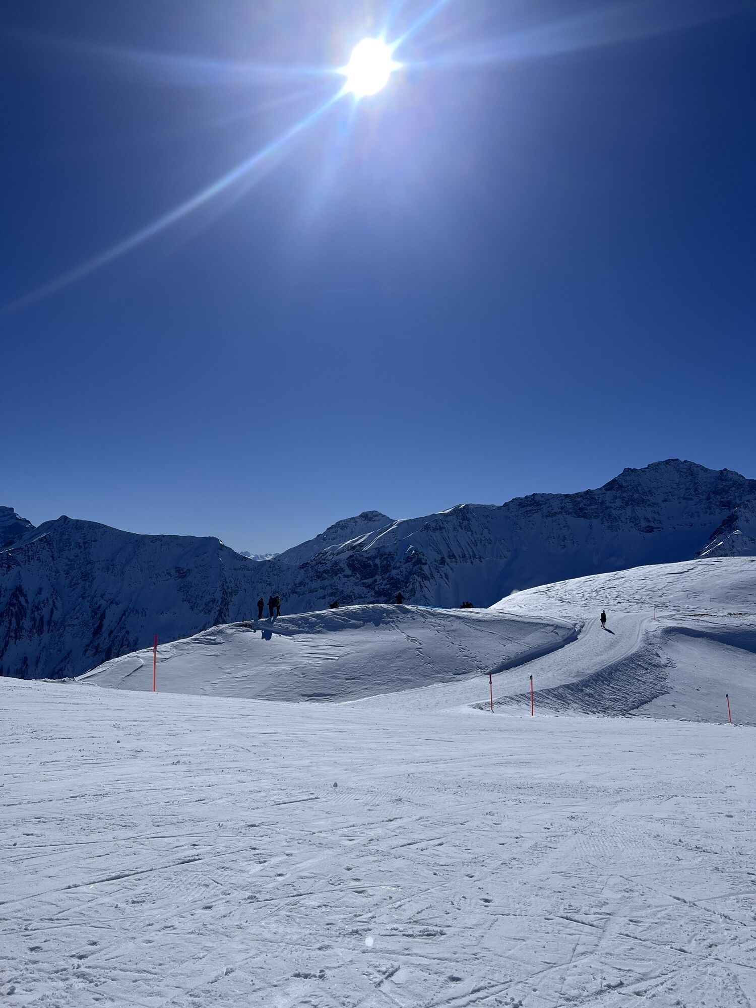
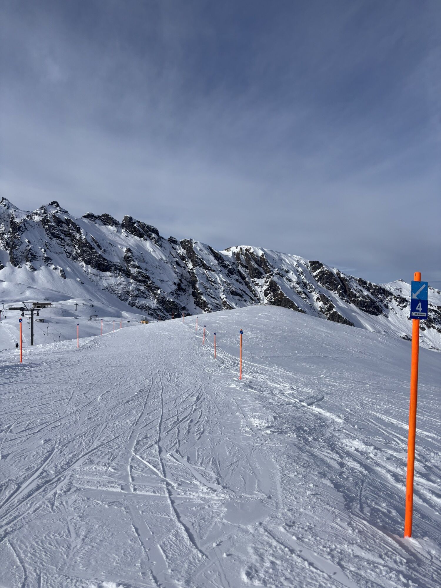
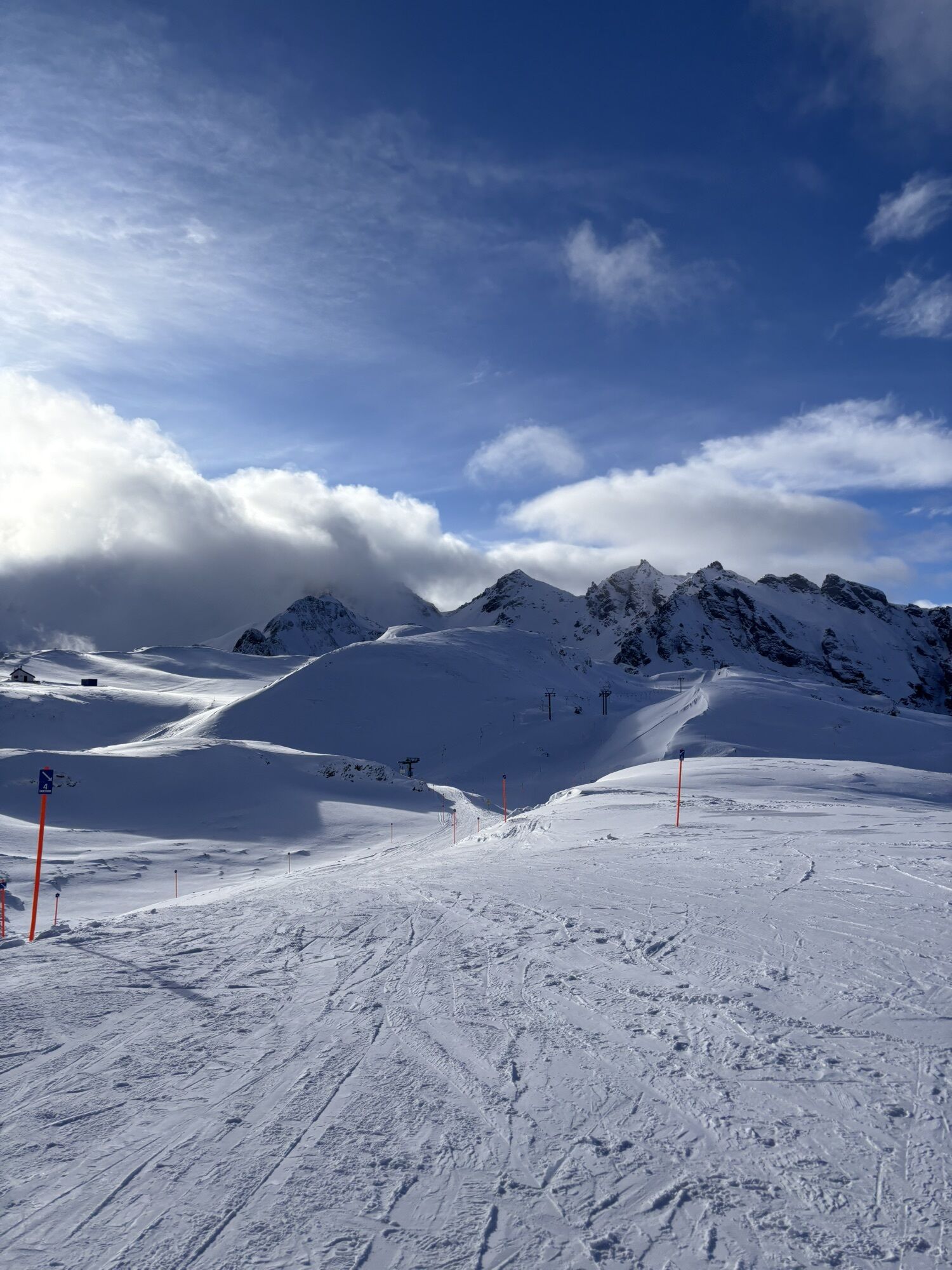
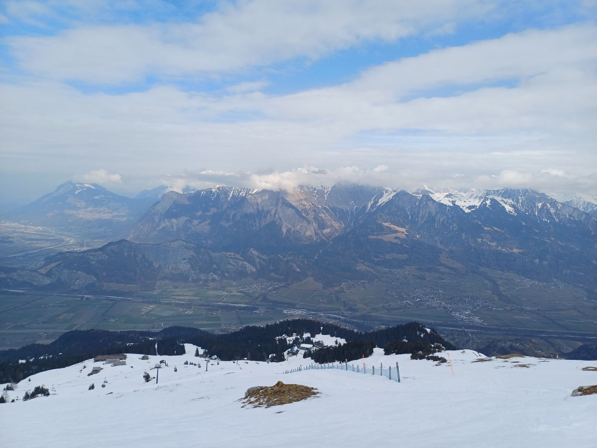
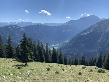
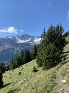
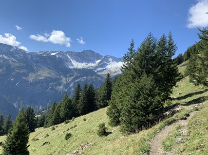
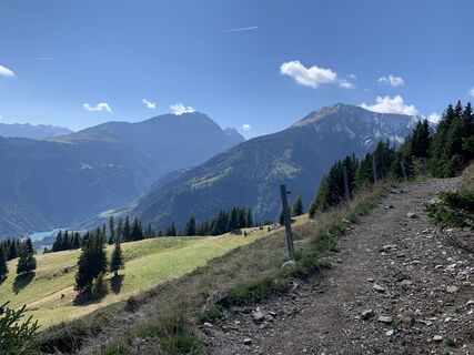
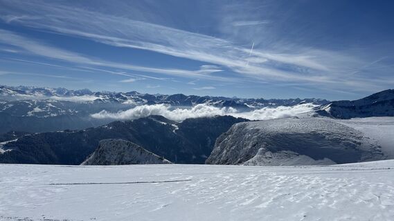
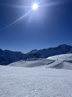
The long variant of the Alpöhi trail run at Pizol is, contrary to what the name might suggest, not a route for beginners. Due to the many altitude meters covered along the way, it places high demands on...
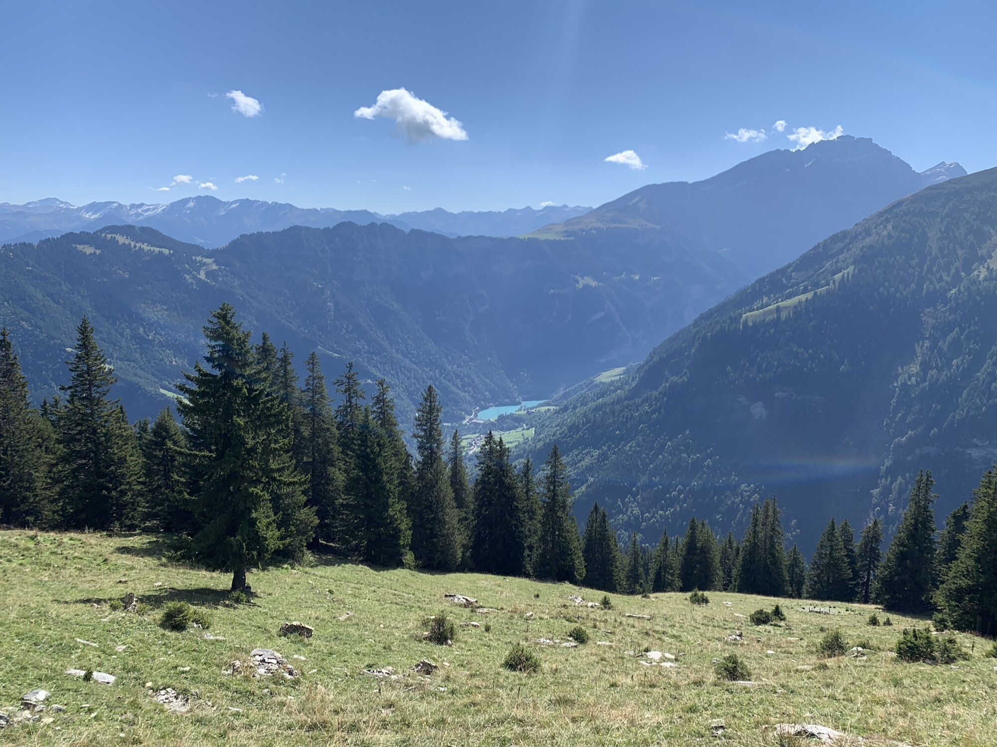
The long variant of the Alpöhi trail run at Pizol is, contrary to what the name might suggest, not a route for beginners. Due to the many altitude meters covered along the way, it places high demands on fitness. The start is at over 2,200 m above sea level, which is also where the loop trail ends. Along the way, you first encounter the Wangsersee before leaving the usually busier area of the popular Pizol hiking area. Wonderful views of the neighboring Tamina valley await before returning to the starting point via Pardiel and Zanuzegg on a strenuous ascent. As a reward, the return trip is by chairlift and gondola back down to the valley. This route can also be planned from Wangs. Take the gondola and chairlift to the Pizol hut and then toward Wangsersee. Or take the original route in reverse running direction.

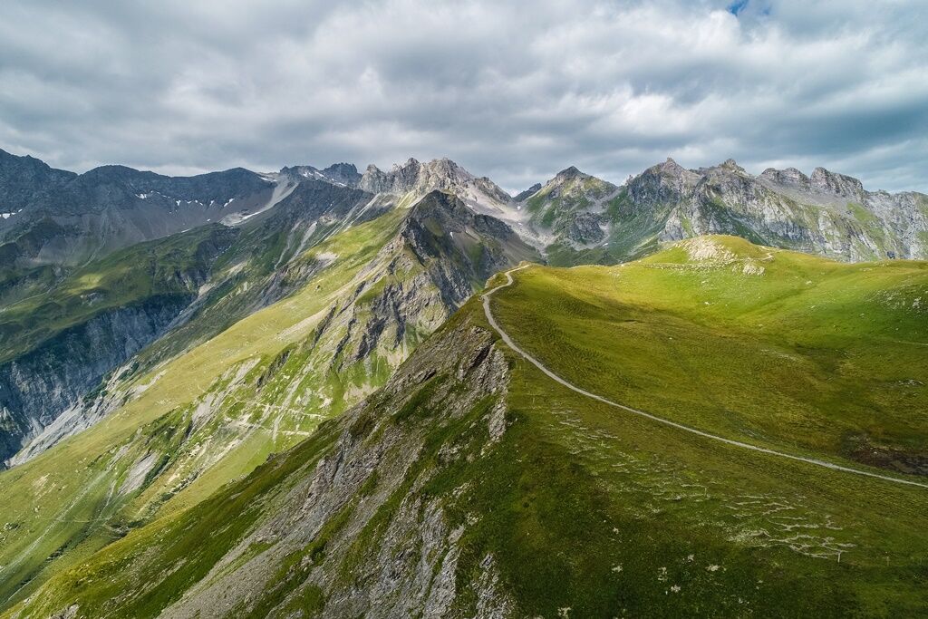
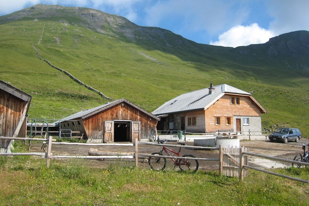
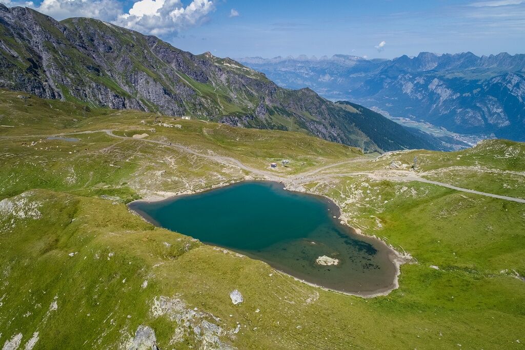
From Bad Ragaz, we take the gondola to Pardiel and then continue with the chairlift up to Laufböden. From here, we run along the ridge path towards the Pizol hut until reaching the Wangsersee. After the Wangsersee, turn left towards Alp Lasa. We follow this trail to Alp Lasa and then follow the signs for Bettlerweg. First on a forest road and then on a great trail, we run towards Laufböden. Now it is time to recharge energy reserves. These are urgently needed for the final and continuous ascent via Zanuzegg back to Laufböden. The ascent takes place on an easy forest road and will challenge even experienced runners in terms of energy reserves. Upon arriving at Laufböden, we take the chairlift to Pardiel and the gondola back to Bad Ragaz.
Normal trail running equipment (trail running shoes recommended everywhere). Bring sufficient food and drink (self-catering principle). Maps and mobile phone with good reception.
The technical difficulty of the trails is moderate, requiring attentive running in some sections.
For the Wangs valley station take the Sargans exit and for the Bad Ragaz valley station the Bad Ragaz Nord exit. The valley stations are well signposted from the motorway exit.
Both valley stations are only 5 minutes from the motorway exit and can also be reached in winter without snow chains or other aids. Ideal accessibility via the A3 (Zurich-Chur) and the A13 (Lake Constance-Sargans-Chur).
Navigation system destination entry:
Bad Ragaz valley station: Loisstrasse 50, 7310 Bad Ragaz
Wangs valley station: Pizolstrasse 3, 7323 Wangs
Access to Alpöhi's Long Trail via Bad Ragaz valley station.
The Pizol area is quickly and conveniently accessible by public transport: from Zurich and St. Gallen in one hour to Sargans or Bad Ragaz, and from Chur in 15 minutes. From the Sargans and Bad Ragaz train stations, buses run in a few minutes to the valley stations of the Pizol cable cars.
Access to Alpöhi's Long Trail via the valley station Bad Ragaz.
Parking options at the Pizol cable cars
Our guests benefit from easily accessible public parking spaces at both valley stations – Bad Ragaz and Wangs.
Parking fees:
Flat rate CHF 6.00 per day
First 45 minutes free
For overnight guests at Pizol: from the 3rd night CHF 4.00 per day
Wangs valley station payment:
Parking ticket online via Parkingpay, Twint or with common debit/credit cards.
Alternatively, during operating hours at the cable car cashier.
Disabled parking spaces: 2 reserved spaces
E-charging stations: 4 charging stations available
Bad Ragaz valley station
Payment: Ticket at the entrance barrier. Payment before exit at the machine (card payment only) or at the cashier.
Disabled parking spaces: 8 reserved spaces
E-charging stations: 4 charging stations available
Motorhome parking Bad Ragaz
During the summer season, we offer a quiet and nature-friendly parking space for motorhomes at the valley station Bad Ragaz.
More information: www.pizol.com
Heidiland Tourism, Bad Ragaz Information Office
T +41 81 300 40 20
www.heidiland.com
Pizol cable cars
T +41 81 300 48 30
www.pizol.com
At Pizol, trail running workshops are held on various dates. They are accompanied by certified running guides and professional athletes.
Kamery internetowe z trasy

Popularne wycieczki w okolicy
-
4,8
Pizalun circular route
światłoWędrówka 7,18 km -
3,7
5-Seen-Wanderung - DER KLASSIKER
ciężkiWędrówka 9,70 km -
4,7
Alvier
średniWędrówka 3,33 km -
4,5
Off to the Falknis
ciężkiWędrówka 18,2 km -
4,7
Mädems Trail
średniRakieta do chodzenia po śniegu 7,48 km -
5,0
Circular hike Bettlerweg & 2-Lakes Hike Pizol
średniWędrówka 11,4 km -
5,0
Guscha ridge path
średniWędrówka 7,96 km -
4,5
St. Martin - Alp Sardona - St. Martin
średniWędrówka 14,2 km -
4,5
Pizol summit tour
średniWędrówka 9,28 km -
4,0
Lake Chapfen round trip
światłoWędrówka 4,27 km
Wędrówki i tropienie


Nie przegap ofert i inspiracji na następne wakacje
Twój adres e-mail została dodana do listy mailingowej.