






Heidi's Long Trail
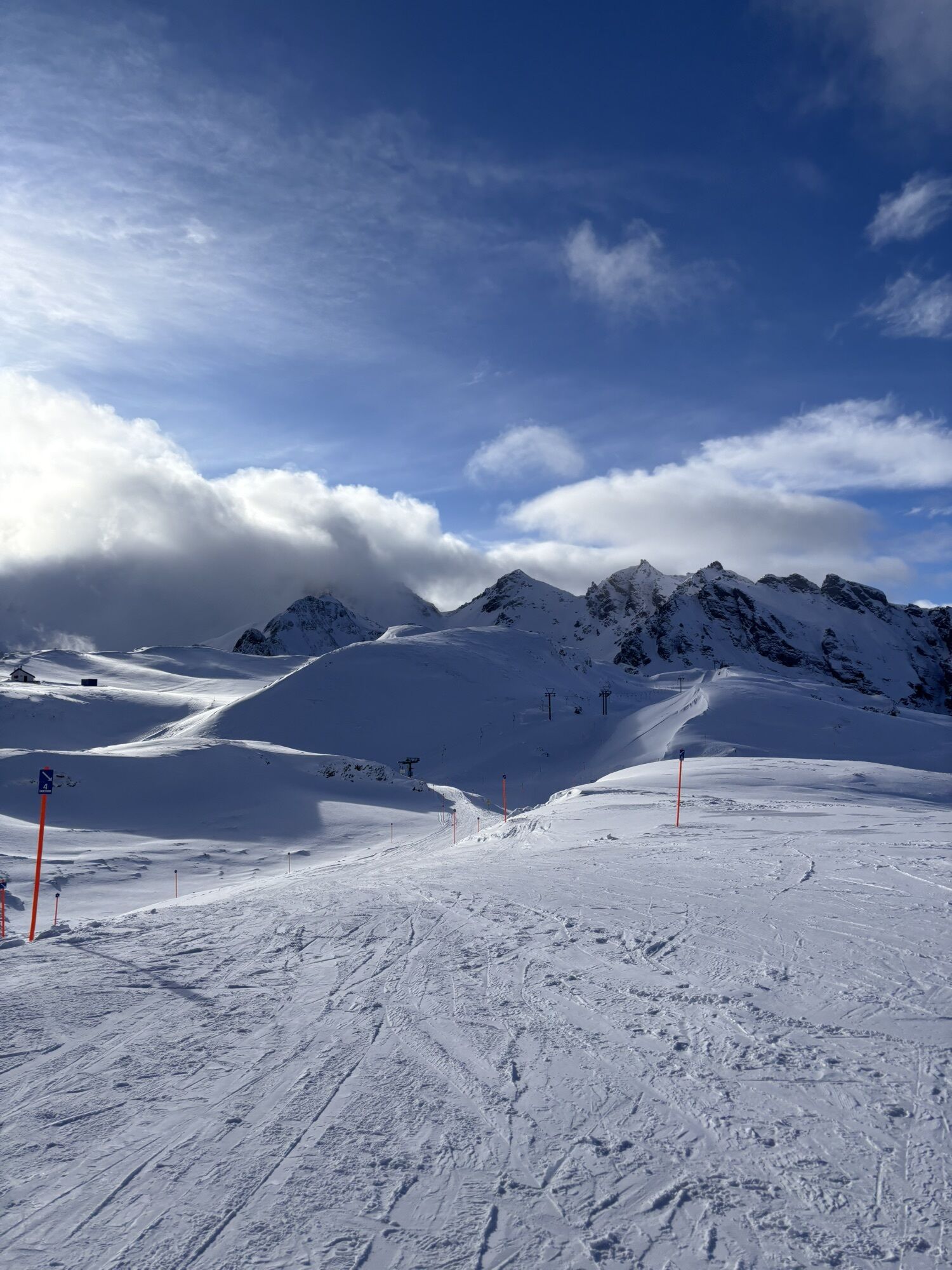
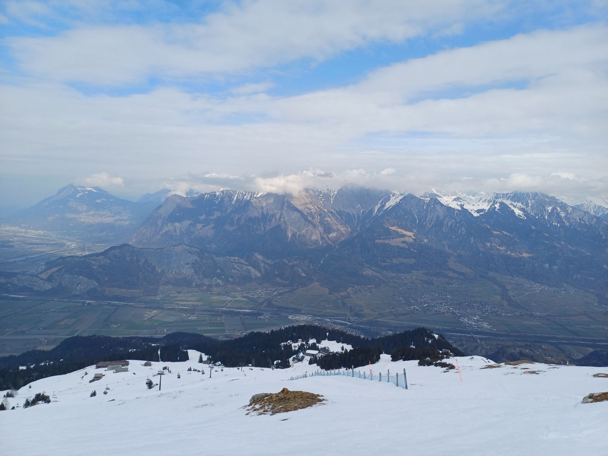
Heidi's Long Trail is a best-of on the Bad Ragaz side of the Pizol, tailored for trail runners. First, the route follows the Heidi path (a popular hiking trail for families) through a varied landscape,...
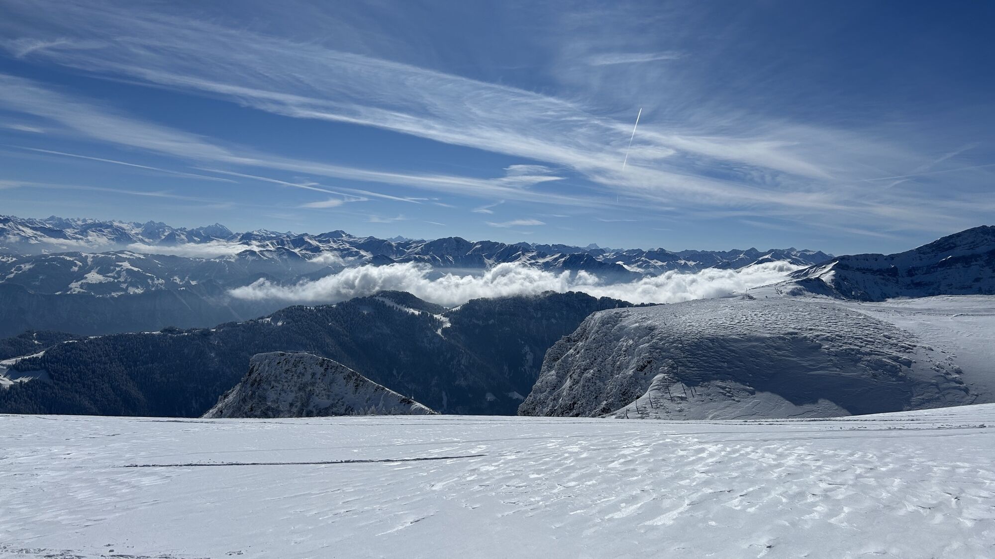
Heidi's Long Trail is a best-of on the Bad Ragaz side of the Pizol, tailored for trail runners. First, the route follows the Heidi path (a popular hiking trail for families) through a varied landscape, passing a mountain hut on Schwarzbüel that could easily be from a Heidi movie. A postcard motif is also the Vilterser Seeli, which also lies on the route, as well as the higher-lying Wangsersee.
Accompanied by a breathtaking panorama, the trail continues initially flat at the highest point on a plateau, before descending again towards the valley at Laufböden. At the Sunntigweid storage lake, beach baskets invite you to take a short break, then it goes back via Obersäss to the starting point at Pardiel, from where you can take the gondola back down to the valley.

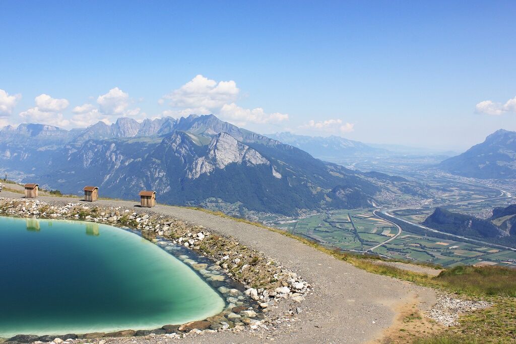
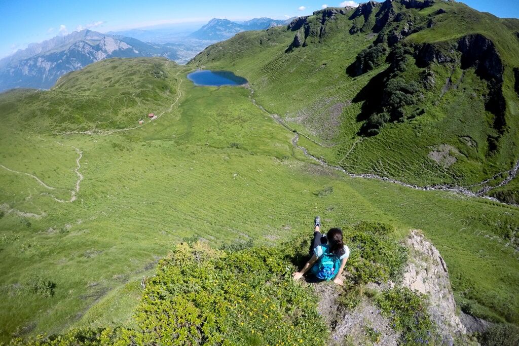
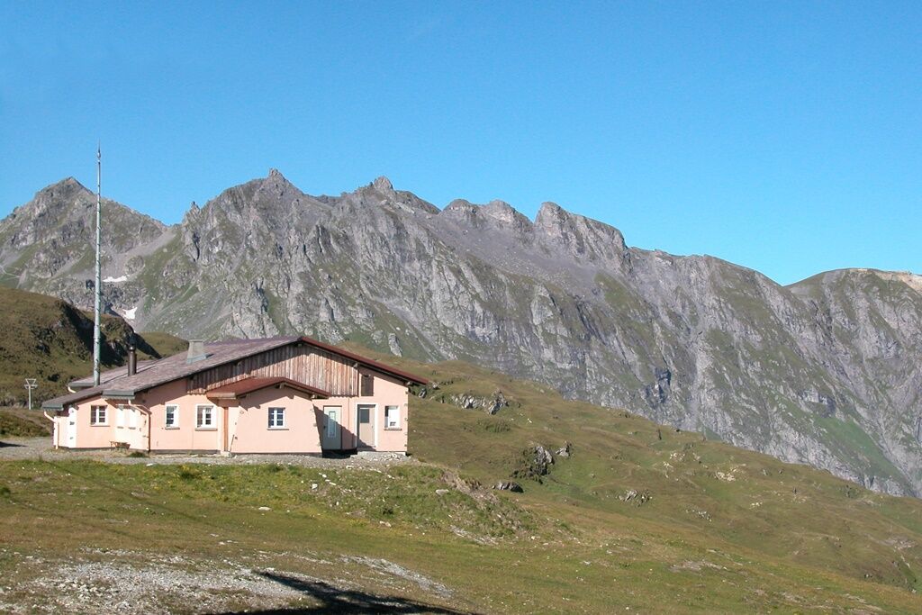

Take the gondola from Bad Ragaz to the starting point in Pardiel. From here, we walk via Obersäss and the Schwarzbüel viewpoint to the Schwarzbüelhütte. From there, head left to the Vilterser Obersäss. We reach this intermediate destination via a varied trail through forest, moor, and rough vegetation. Ascending, we walk to the Vilterser Seeli and at the end of the lake towards the Pizolhütte. We follow this mountain path to the Wangsersee. The lake invites you to cool off before continuing on the high path to Laufbodenstübli. Here, at 2,223 meters above sea level, the highest point of our route is reached, and then it goes steadily downhill along a long forest road above Pardiel. As soon as we see the first information boards in the shape of edelweiss, we follow them uphill until we arrive at the Suntigweidsee. Here you can relax in the beach baskets and enjoy the great panorama. If you don’t want to do the extra loop via Suntigweidsee anymore, you can go directly to Pardiel. At the end, there is a short descent via Obersäss back to Pardiel. From there, take the gondola back to Bad Ragaz.
Normal trailrunning equipment (trail shoes recommended everywhere). Bring enough food and drink (self-sufficiency principle). Maps and a cell phone with good reception.
The highest point of the route is over 2,200 meters above sea level, so be prepared for rapid temperature and weather changes.
From the Bad Ragaz motorway exit, follow the signs to the Pizolbahn.
From Bad Ragaz station, you can easily reach the valley station Bad Ragaz by post bus. From there, take the gondola and chairlift further to the start.
Public parking is available at the valley station (CHF 5.00 / day).
Heidiland Tourism, Bad Ragaz information office
T +41 81 300 40 20
www.heidiland.com
Pizolbahnen
T +41 81 300 48 30
www.pizol.com
Trailrunning workshops take place at various dates on the Pizol. Accompanied by certified running guides and professional athletes.
Kamery internetowe z trasy
-
Laufböden
-
Furt - Wangs Bergstation
-
Furt - Wangs Bergstation
-
Furt - Wangs Bergstation
-
Furt - Wangs Bergstation
-
Furt - Wangs Bergstation
-
Furt - Wangs Bergstation
-
Pardiel
-
Gaffia
-
Pizolhütte
-
Furt - Wangs Bergstation
-
Pardiel-Prodboden
-
Station-Pardiel
-
SAC Bergstation
-
Pizol
-
Pardiel
-
Pardiel
-
Pardiel
-
Pardiel
-
Pardiel
Uzyskaj wgląd
Zawsze na żywo z ponad 9 500 kamer internetowych. bergfex Jako użytkownik Pro, możesz teraz zobaczyć odpowiednie kamery internetowe dla wielu wycieczek w aplikacji wycieczki od. Pozwala to na bezpośredni podgląd aktualnych warunków.
Popularne wycieczki w okolicy
-
4,6
Pizalun circular route
światłoWędrówka 7,18 km -
3,7
5-Seen-Wanderung - DER KLASSIKER
ciężkiWędrówka 9,70 km -
4,6
Tamina Gorge Circular Route
średniWędrówka 14,0 km -
4,7
Alvier
średniWędrówka 3,33 km -
4,5
Off to the Falknis
ciężkiWędrówka 18,2 km -
4,7
Mädems Trail
średniRakieta do chodzenia po śniegu 7,48 km -
5,0
Hike from Berschis to the Berschner Falls
średniWędrówka 3,64 km -
5,0
Circular hike Bettlerweg & 2-Lakes Hike Pizol
średniWędrówka 11,4 km -
5,0
Guscha ridge path
średniWędrówka 7,96 km -
4,5
St. Martin - Alp Sardona - St. Martin
średniWędrówka 14,2 km

Wędrówki i tropienie


Nie przegap ofert i inspiracji na następne wakacje
Twój adres e-mail została dodana do listy mailingowej.





