






Cultural route Brunnadern
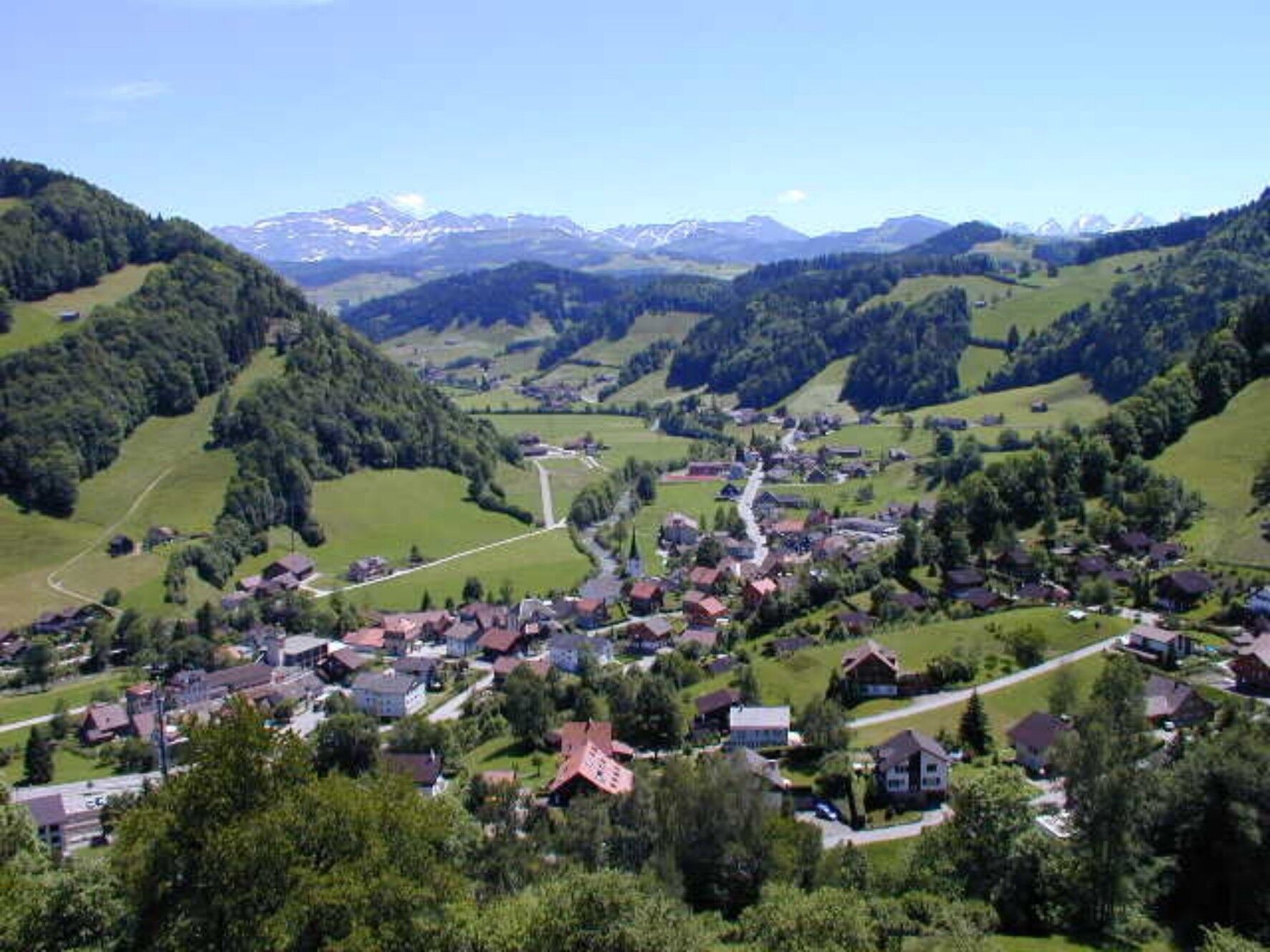
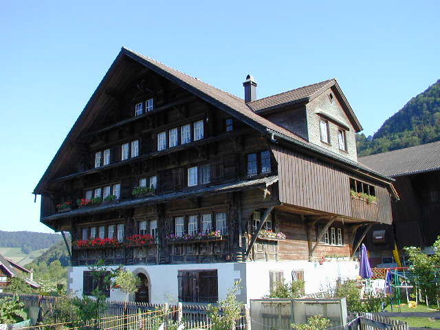
Brunnadern has a well-preserved, protected villagescape, a cultural landscape protection area and a number of individual objects worthy of protection from the 17th century. From the former community house,...
Brunnadern has a well-preserved, protected villagescape, a cultural landscape protection area and a number of individual objects worthy of protection from the 17th century. From the former community house, to the typical Grubenmann church, one of the oldest covered wooden bridges on the Necker, to stately farmhouses and grand factory owner’s and merchant houses await along the route. The Brunnadern cultural route is a circular route around Brunnadern with 28 information boards about the village history, the conservation areas of the villagescape and the individual objects worthy of protection.
A path that leads much along the road but convinces through the exciting cultural landscape.

Brunnadern - Haselacker - Chrüzweg - Spreitenbach - Vorstadel - Unterreitenberg - Schwendi - Furth - Siggetschwil - Tös - Brunnadern
Light daypack (about 15 liters) with rain cover, comfortable footwear with good grip, weather-appropriate clothing, sun and rain protection, if necessary provisions and drinking water, if necessary brochure Cultural Routes Neckertal
The route is signposted throughout.
From Zurich the route leads from the Wil motorway exit via Lütisburg and Ganterschwil to Brunnadern.
From St.Gallen the St.Gallen Winkeln motorway exit is taken towards Herisau, Waldstatt and Schönengrund until the village of Brunnadern is reached.
Brunnadern can be reached from Wil via Lichtensteig with the SBB. From St.Gallen a train runs directly to Brunnadern via Herisau.
There are plenty of parking spaces available at the Brunnadern station.
Toggenburg Tourism
Hauptstrasse 104
9658 Wildhaus, Switzerland
+41 71 999 99 11
info@toggenburg.swiss
www.toggenburg.swiss
Relax your feet in the clear water of the Necker.
Uzyskaj wgląd
Zawsze na żywo z ponad 9 500 kamer internetowych. bergfex Jako użytkownik Pro, możesz teraz zobaczyć odpowiednie kamery internetowe dla wielu wycieczek w aplikacji wycieczki od. Pozwala to na bezpośredni podgląd aktualnych warunków.
Popularne wycieczki w okolicy
-
4,3
Schnebelhorn Rundwanderung
średniWędrówka 11,9 km -
4,7
Jakobsbad - Berggasthaus Kronberg und Bergstation - Kronberg - Restaurant Scheidegg
średniWędrówka 12,0 km -
4,9
Kronberg - Schwaegalp
światłoWędrówka 5,90 km -
5,0
Chatzenloch hike with suspension bridge
światłoWędrówka 5,91 km -
Hike from Hemberg to the Ofenloch
średniWędrówka 10,9 km -
Mountain bike route to Schwägalp
ciężkiMountainbike 33,2 km -
4,5
Hike from Ebnat-Kappel to Tanzboden
średniWędrówka 14,5 km -
Ski touring on the Stockberg
światłoWycieczka narciarska 6,51 km -
4,3
Steg-Schnebelhorn
średniWędrówka 17,9 km -
4,0
Schönengrund - Hochhamm - Schönengrund
średniWędrówka 9,51 km
Wędrówki i tropienie


Nie przegap ofert i inspiracji na następne wakacje
Twój adres e-mail została dodana do listy mailingowej.





