


Circular hike Bargen - Nature reserve «Tannbuel»
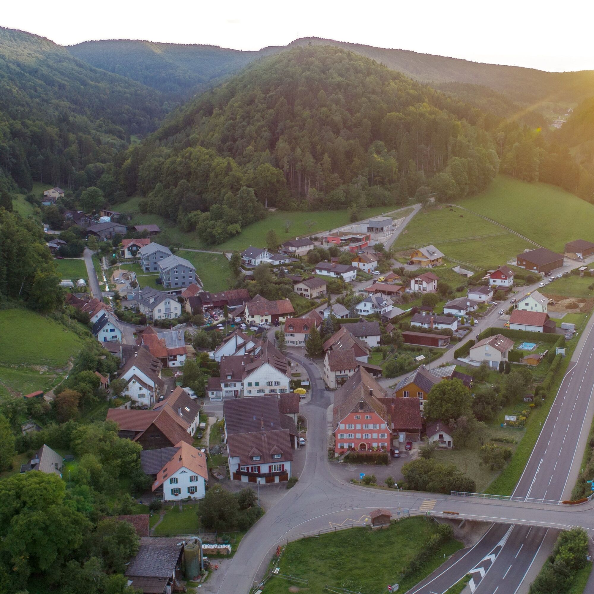
The starting point is the municipality of Bargen, the northernmost municipality of Switzerland. The village and the course of the entire route are located in the protected zone of the Randen, the plateau-like...
The starting point is the municipality of Bargen, the northernmost municipality of Switzerland. The village and the course of the entire route are located in the protected zone of the Randen, the plateau-like upland ridge in the canton of Schaffhausen, which geologically belongs to the Tafeljura landscape.
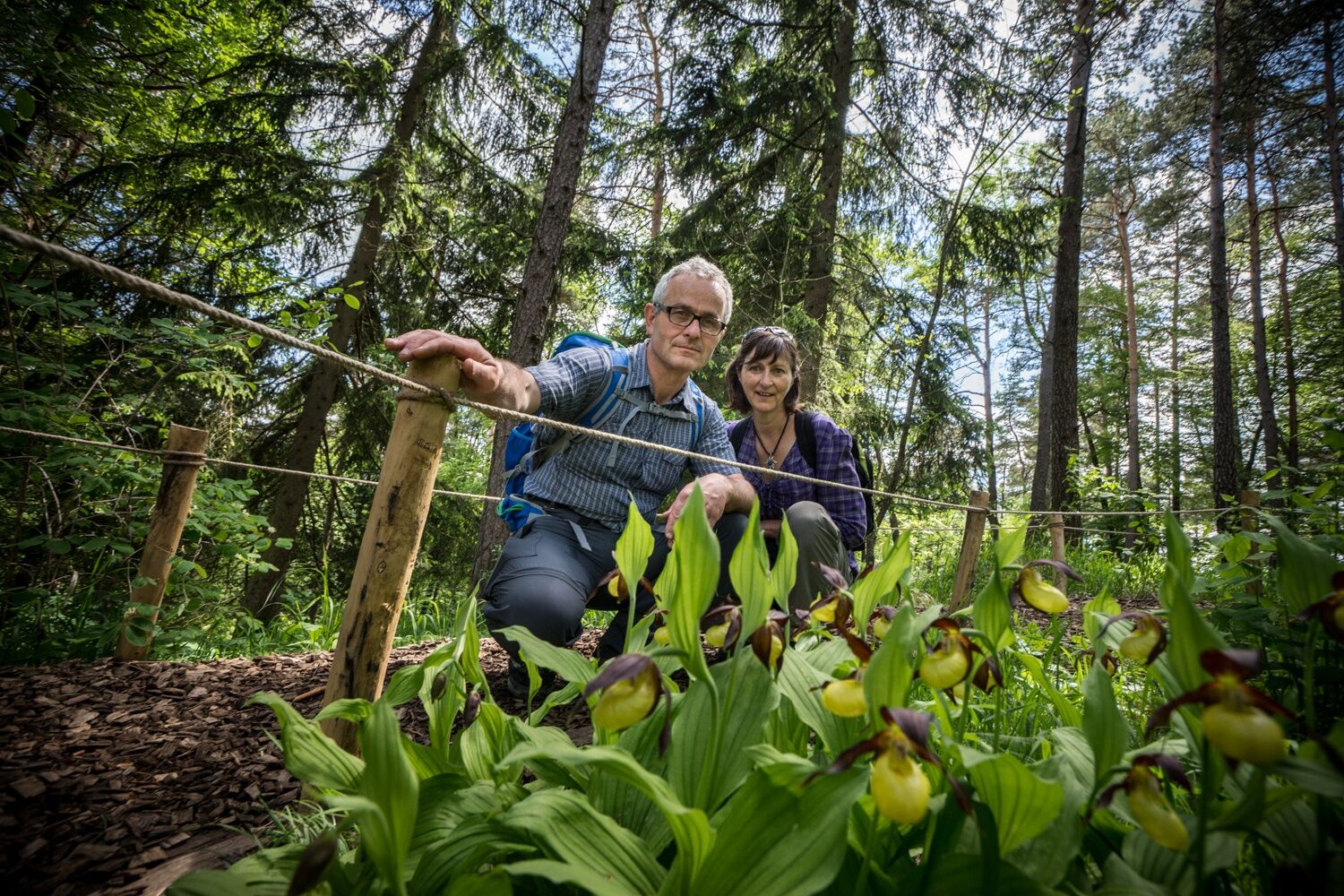
Uphill on paved roads as well as on field and meadow paths, the route leads right into the forest and nature reserve «Tannbuel». In May and June, you can discover at least 15 different orchid species in Tannbuel. The lady's slipper orchid blooms particularly abundantly. But other orchids, gentians, shrubs, and trees also make up the diversity of species in Tannbuel.
From Tannbuel, you hike back to the starting point via Oberbargen.


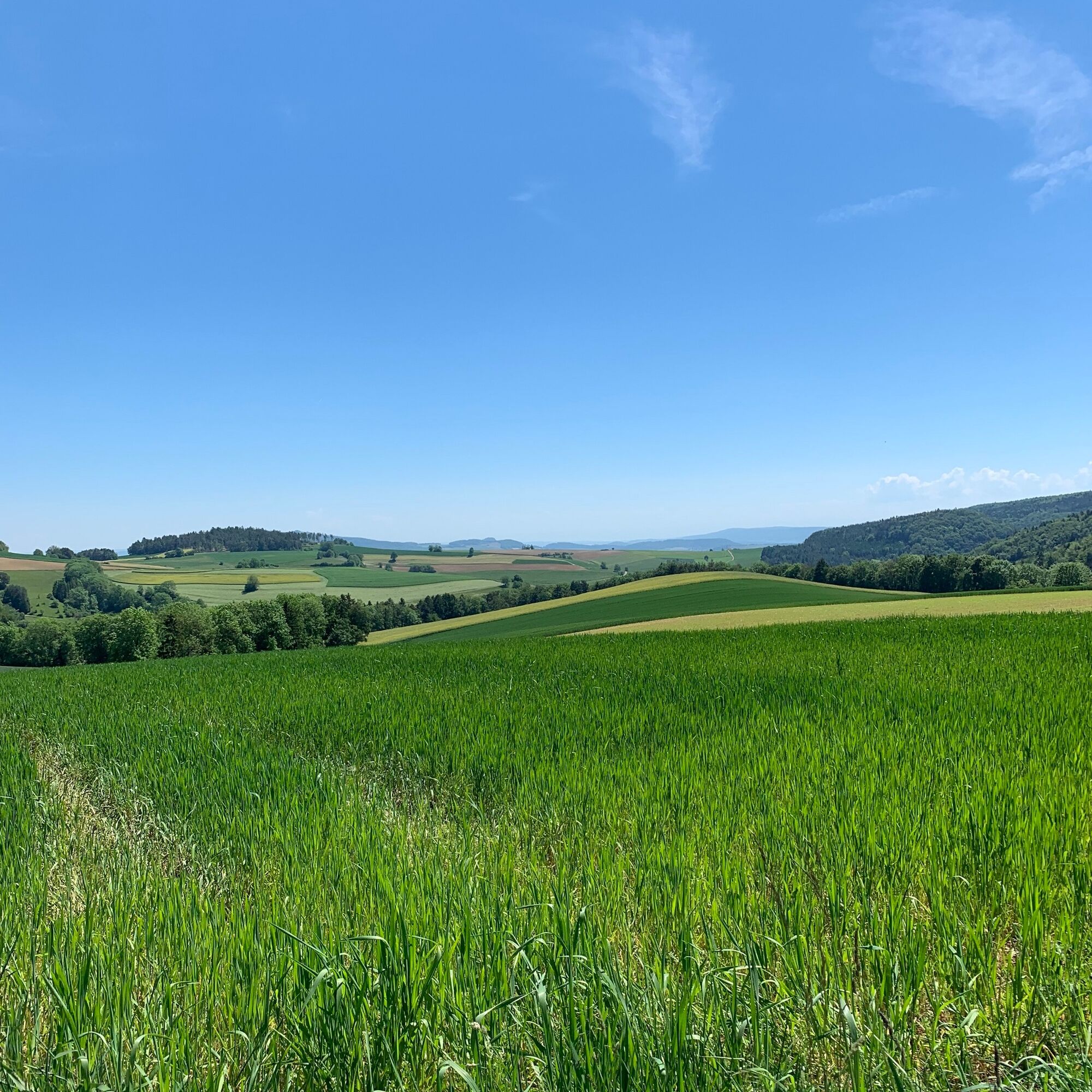
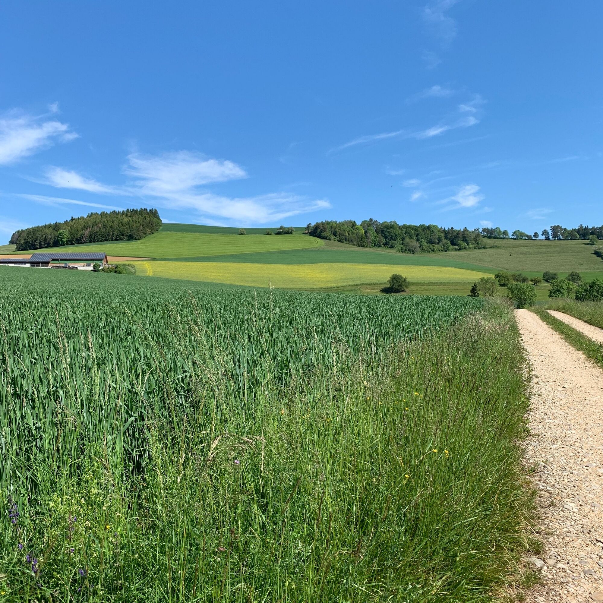
From the village, follow the steep road to the signpost/turnoff into the forest to Tannbuel. Via Oberbargen, you mostly return to your starting point on hiking trails.
Tak
Good footwear and provisions if needed
Please note that the protected area is partially on German territory. Therefore, take an ID with you.
Via Bargen to the German customs office Bargen / Neuhaus, turn right towards border stone no. 613 to the field parking. The Tannbuel is about five minutes’ walk from the parking lot.
Bus number 23 runs directly from Schaffhausen station to the starting point of the hikes, the bus stop «Bargen SH, Dorf». You can reach Bargen from Schaffhausen by bus in about 20 minutes, running every half hour or hour.
Field parking 5 minutes’ walk from Tannbuel
The lady's slipper orchid blooms in Tannbuel in May and June.
Travel by bus is recommended.
Detour to the «Black Stone», the northernmost point of Switzerland
Popularne wycieczki w okolicy
-
4,7
Wutachschlucht Rundwanderung im Süd Schwarzwald
średniWędrówka 9,76 km -
5,0
Premium Hiking Trail - 3-Schluchten Tour
średniTrasa tematyczna 9,62 km -
4,6
Small Rheinfall Circular Route
światłoWędrówka 3,48 km -
4,7
"Hegauer Kegelspiel" Alter Postweg
średniWędrówka 9,26 km -
5,0
"Hegauer Kegelspiel" Stettener Panoramaweg
średniWędrówka 7,62 km -
3,3
"Hegauer Kegelspiel" Wannenberg hike
średniWędrówka 9,35 km -
5,0
Circular hike over the Hinterranden
średniWędrówka 11,0 km -
Circular hike Schaffhausen - Rhine Falls - Schaffhausen
średniWędrówka 10,0 km -
SwitzerlandMobility 896: Rhine Falls Circular Route
średniWędrówka 7,12 km -
4,5
Nature trail Merishausen: Brown route
średniTrasa tematyczna 11,4 km
Wędrówki i tropienie


Nie przegap ofert i inspiracji na następne wakacje
Twój adres e-mail została dodana do listy mailingowej.