


Wartau round tour
Poziom trudności: S1

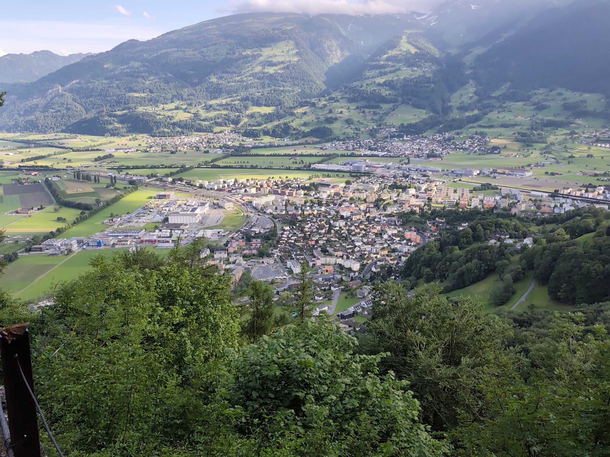
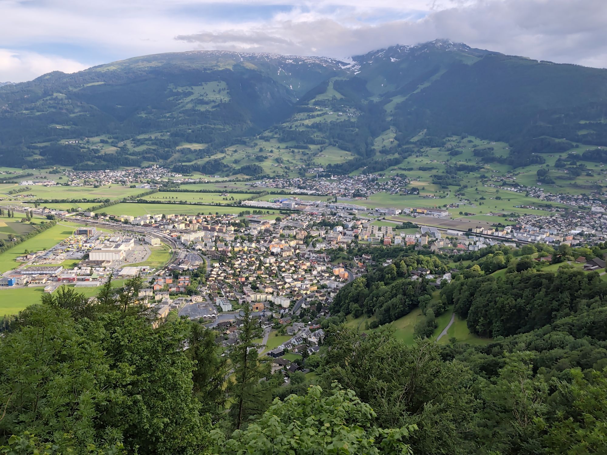
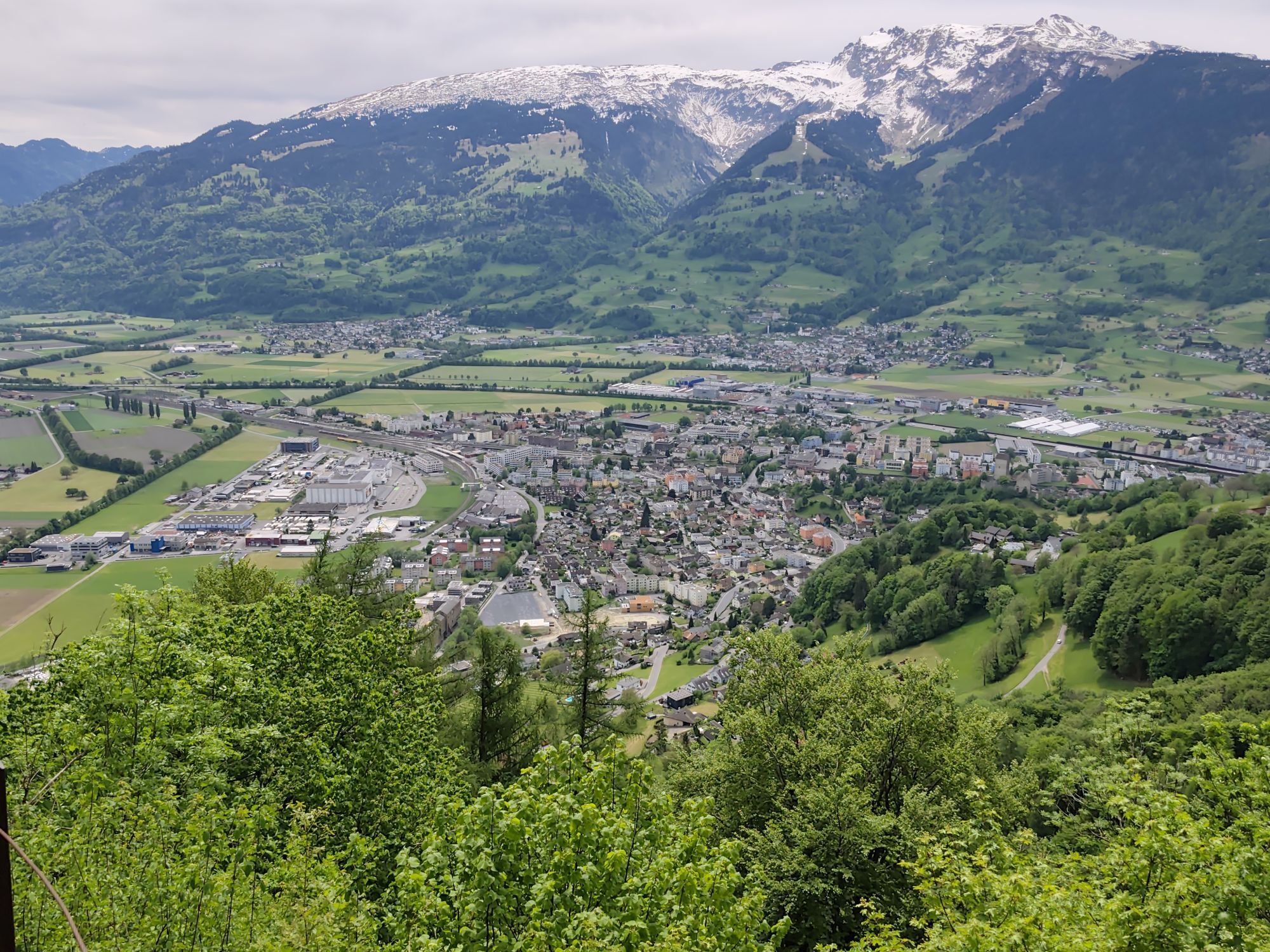

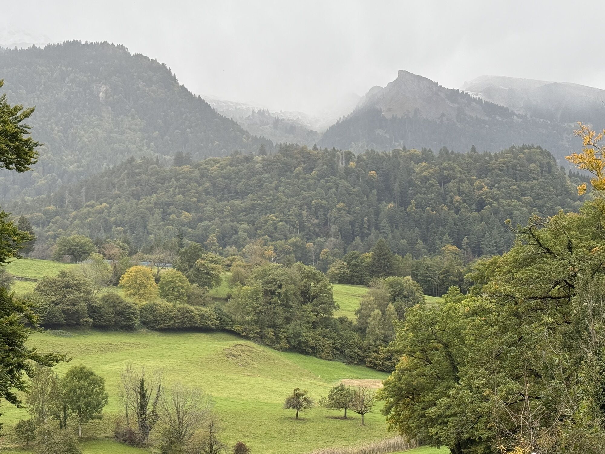
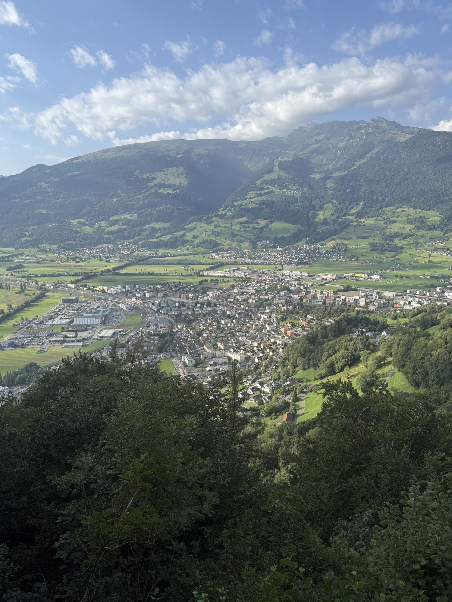
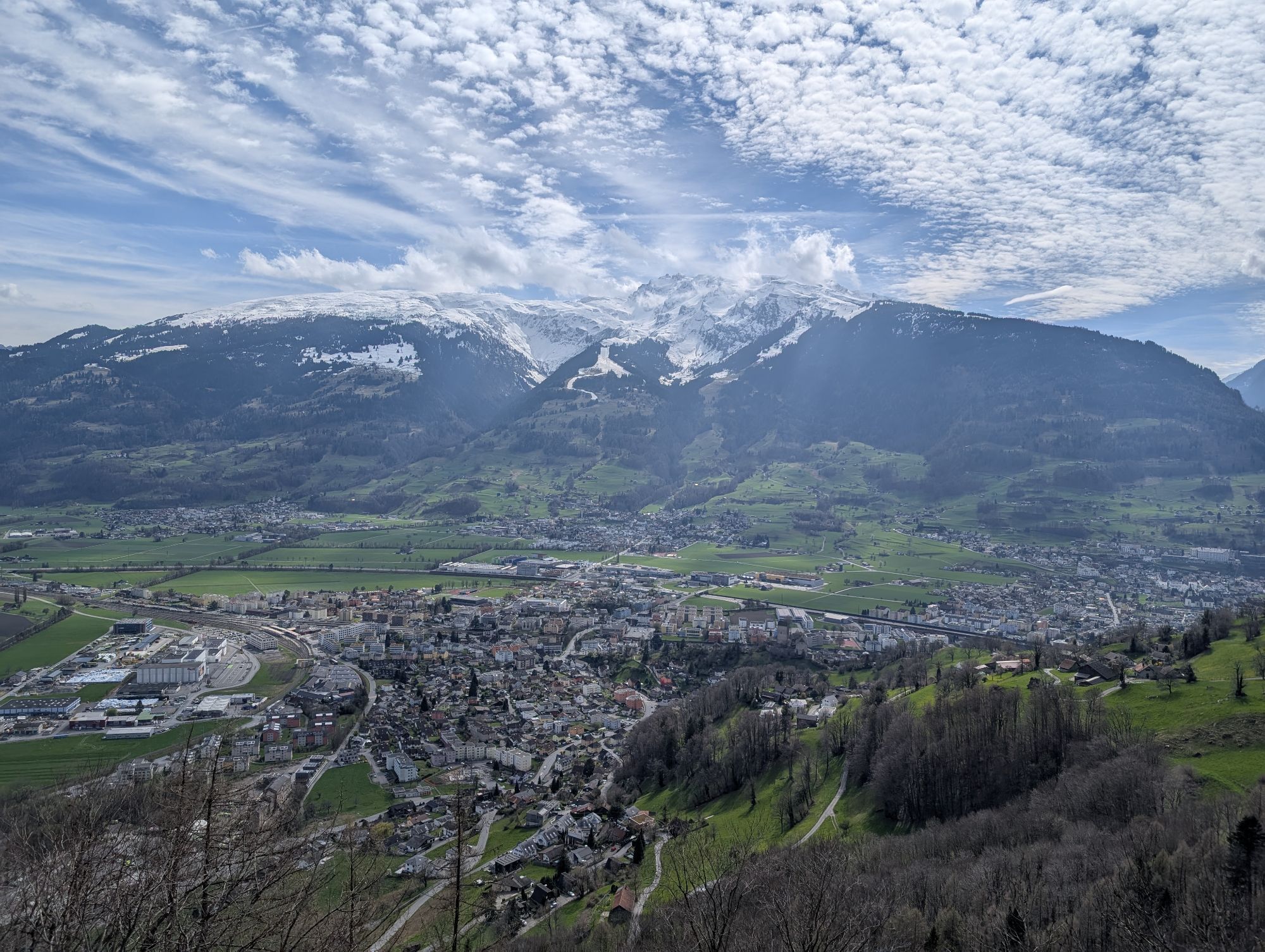
After the start at Sargans station, the route first leads along a small road with a view of Sargans Castle, then through a forest path behind the Schollberg and Maziferchopf. A short high-level trail with...
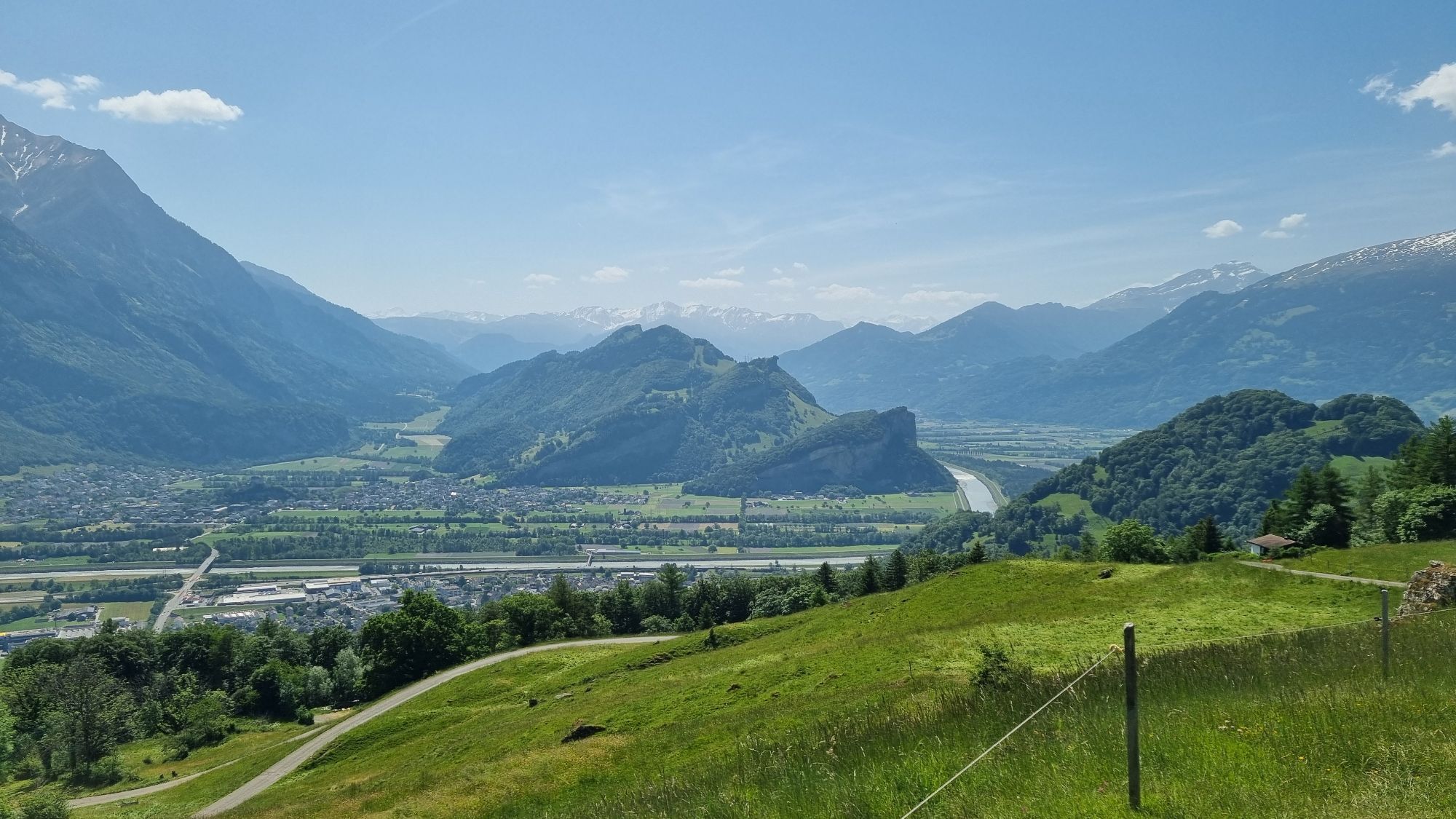
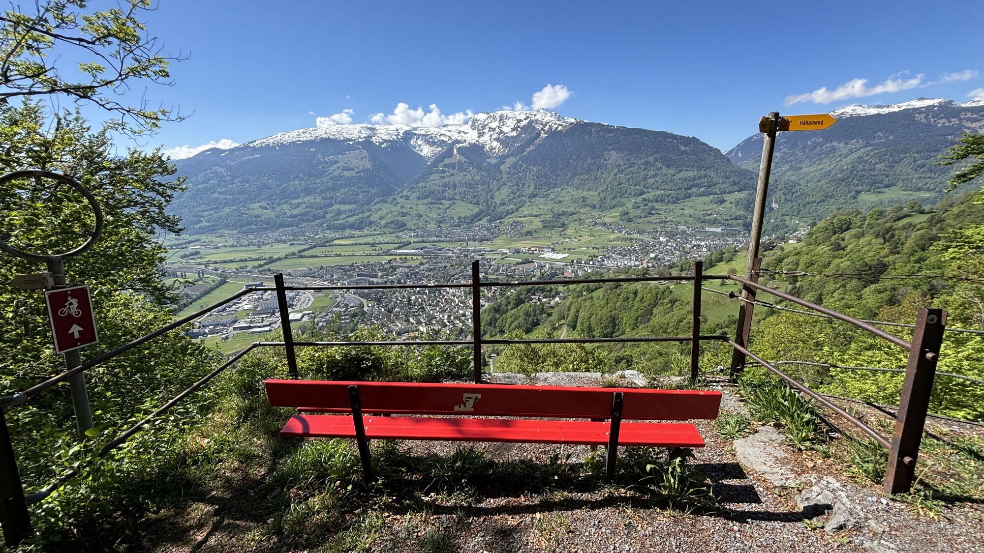
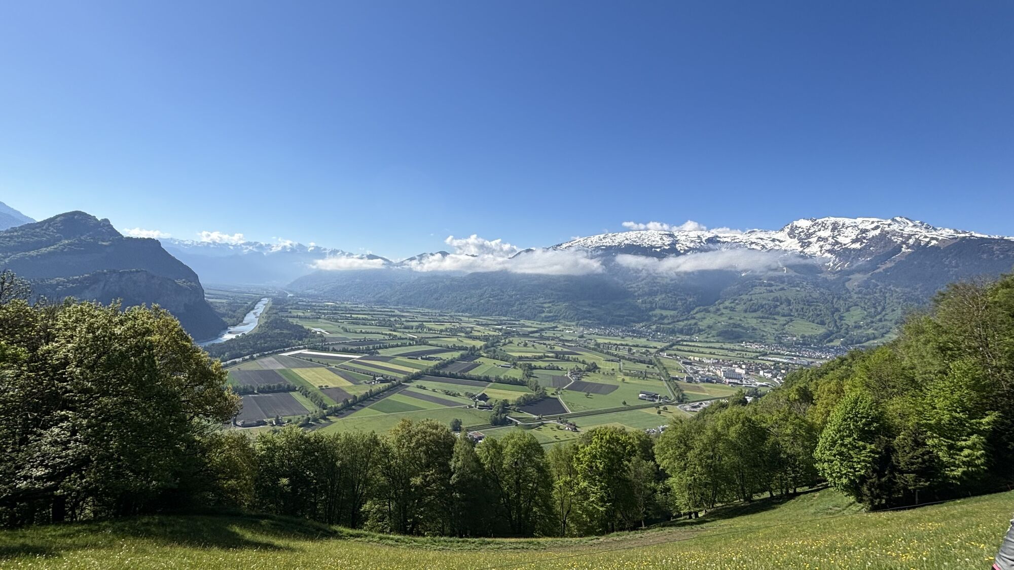
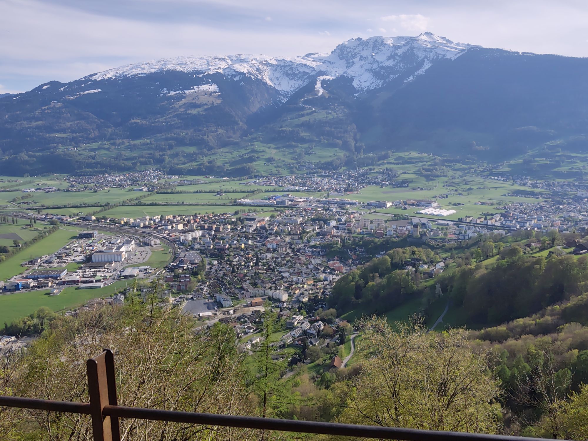
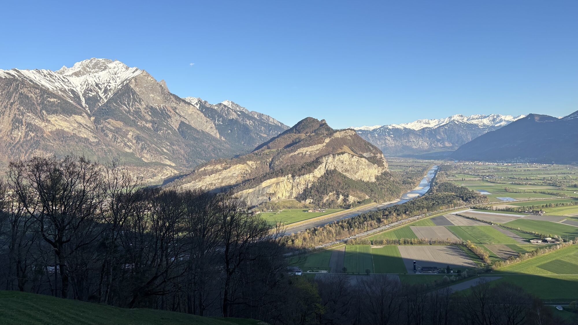
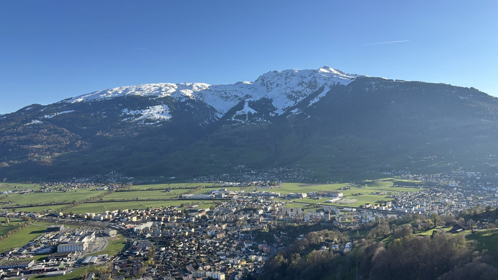
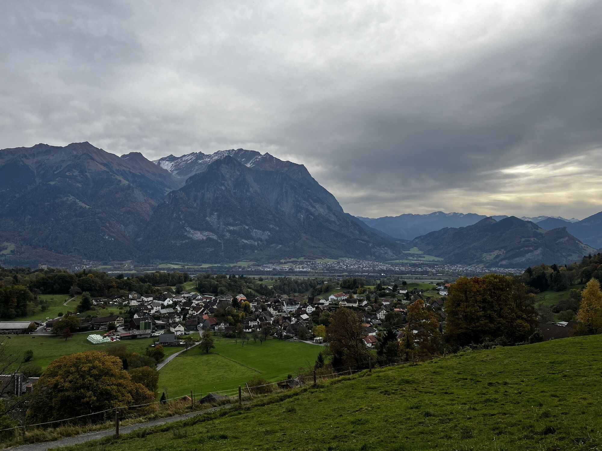
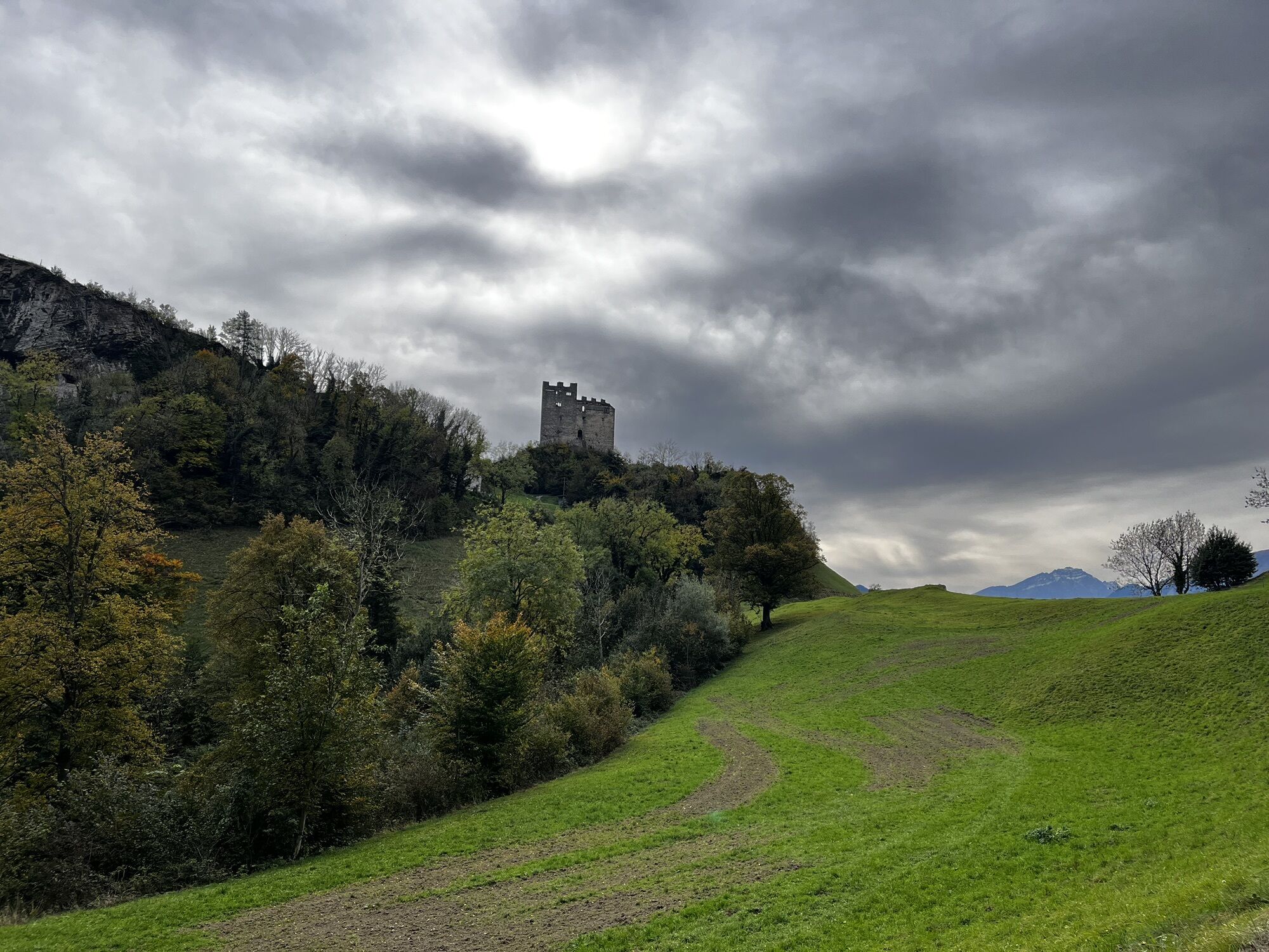
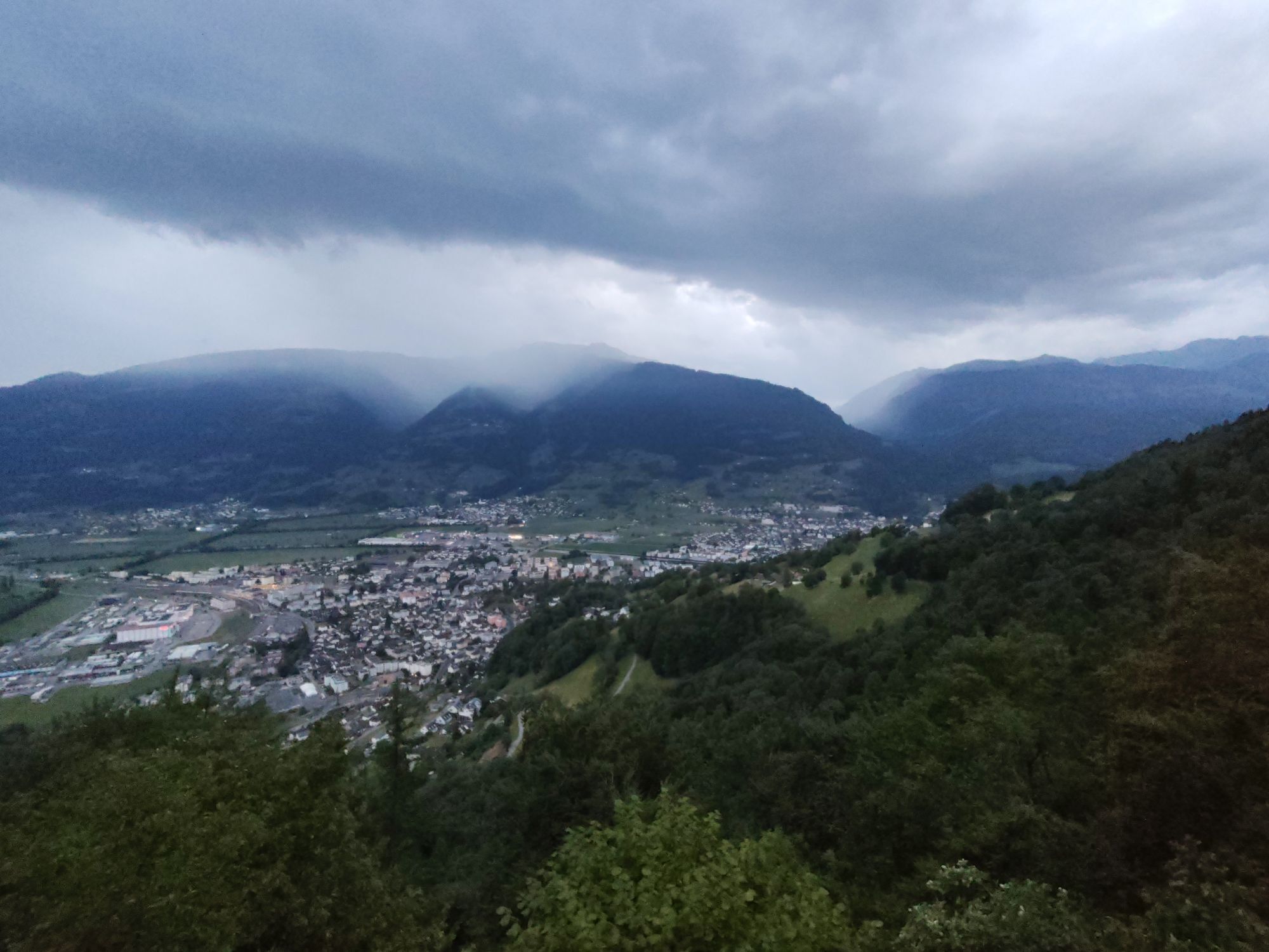
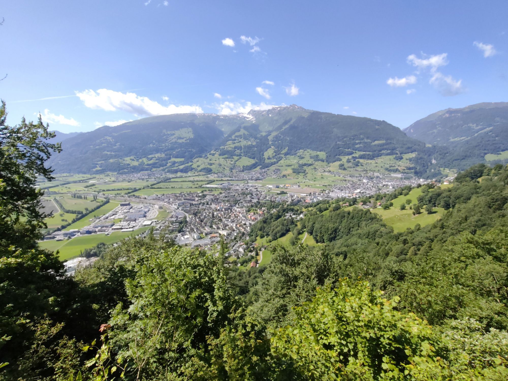
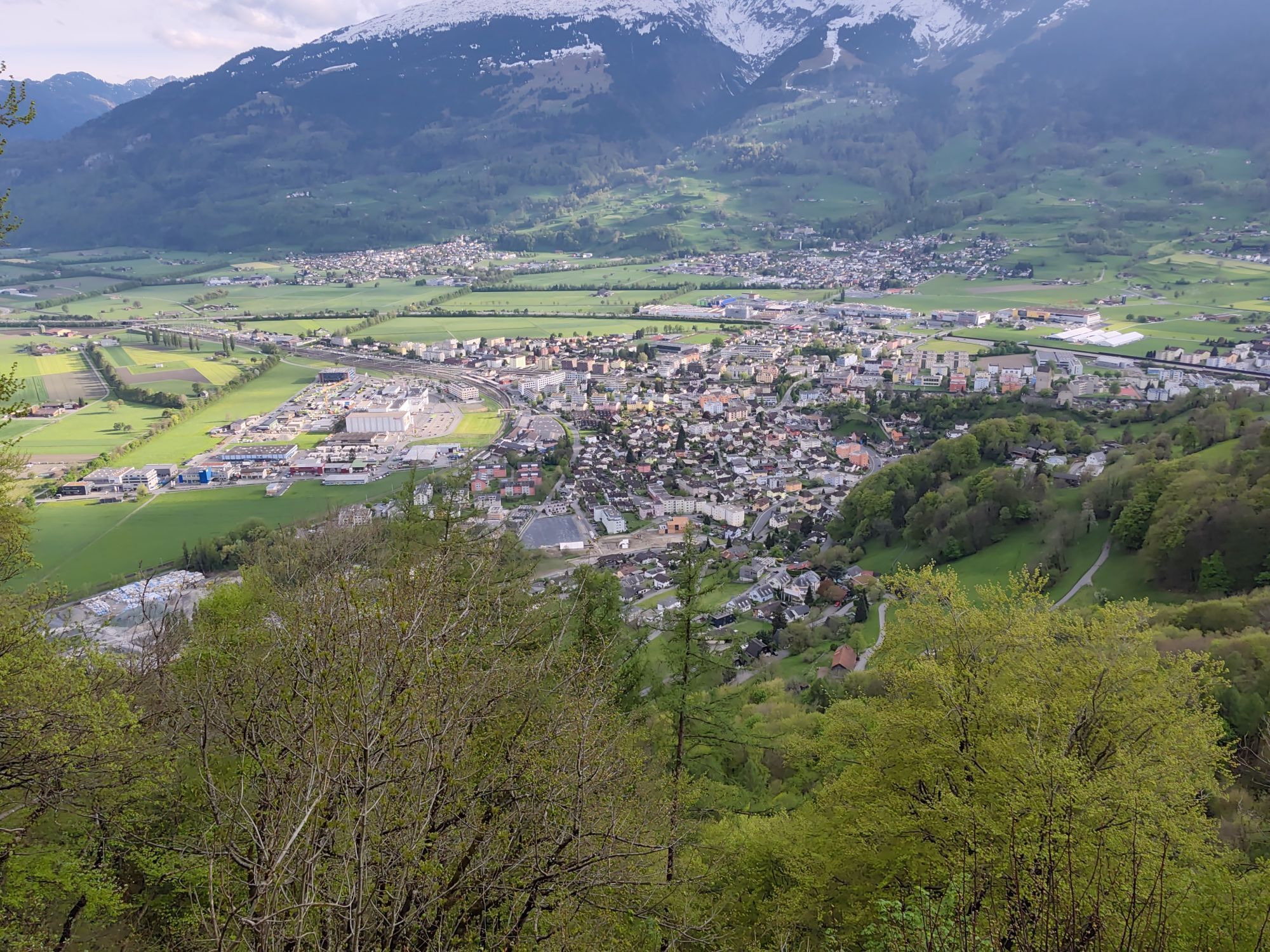
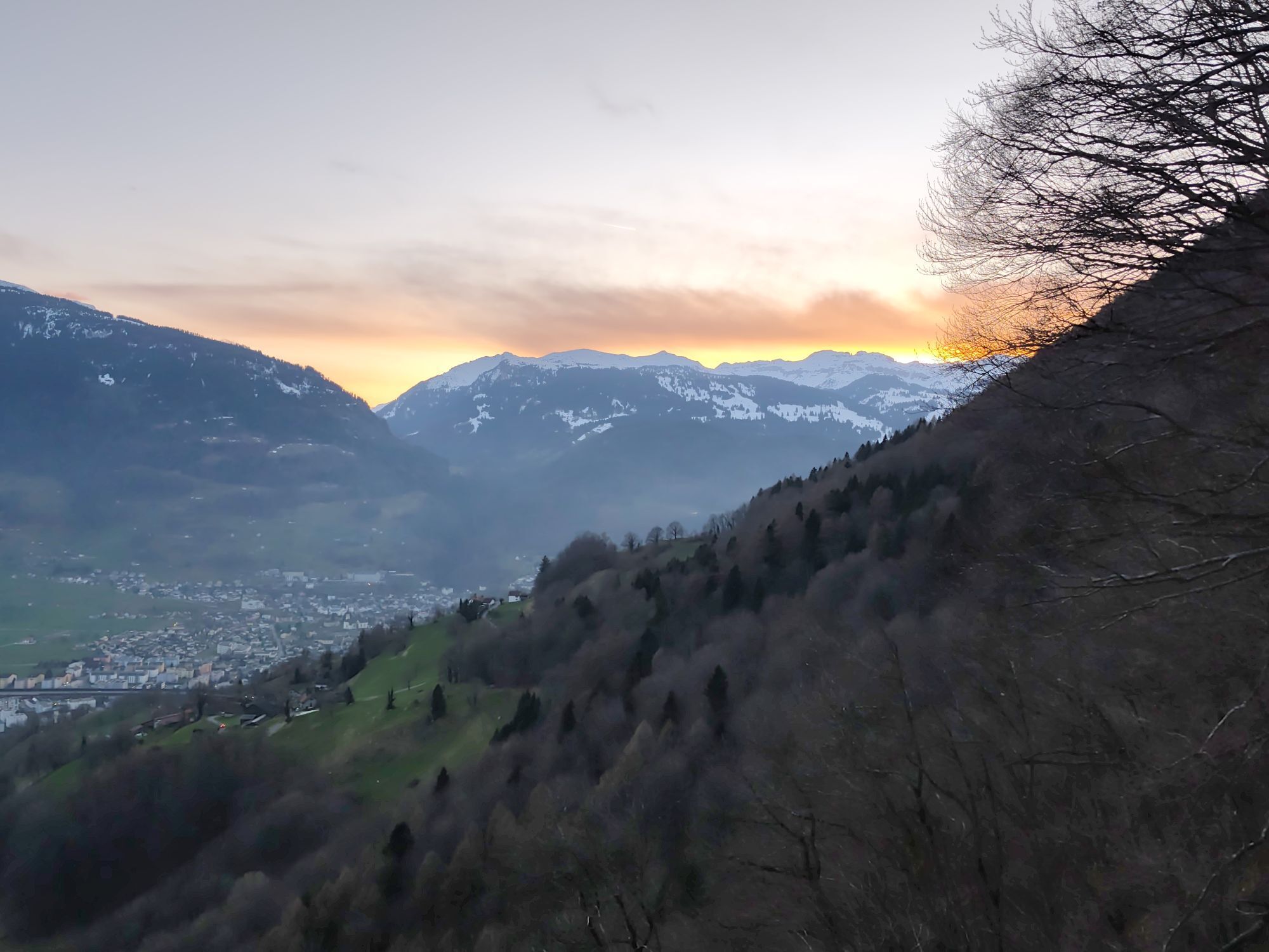
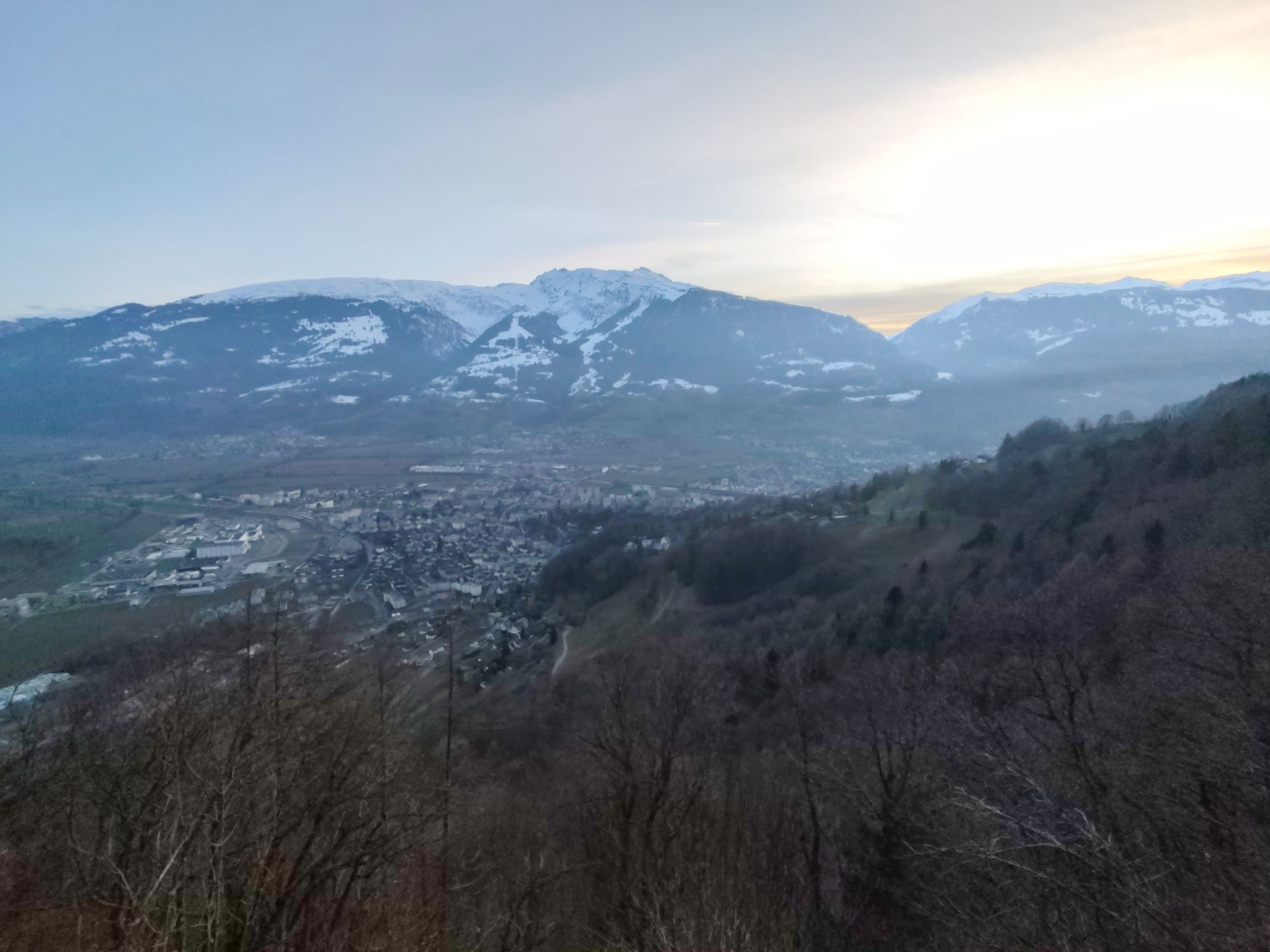
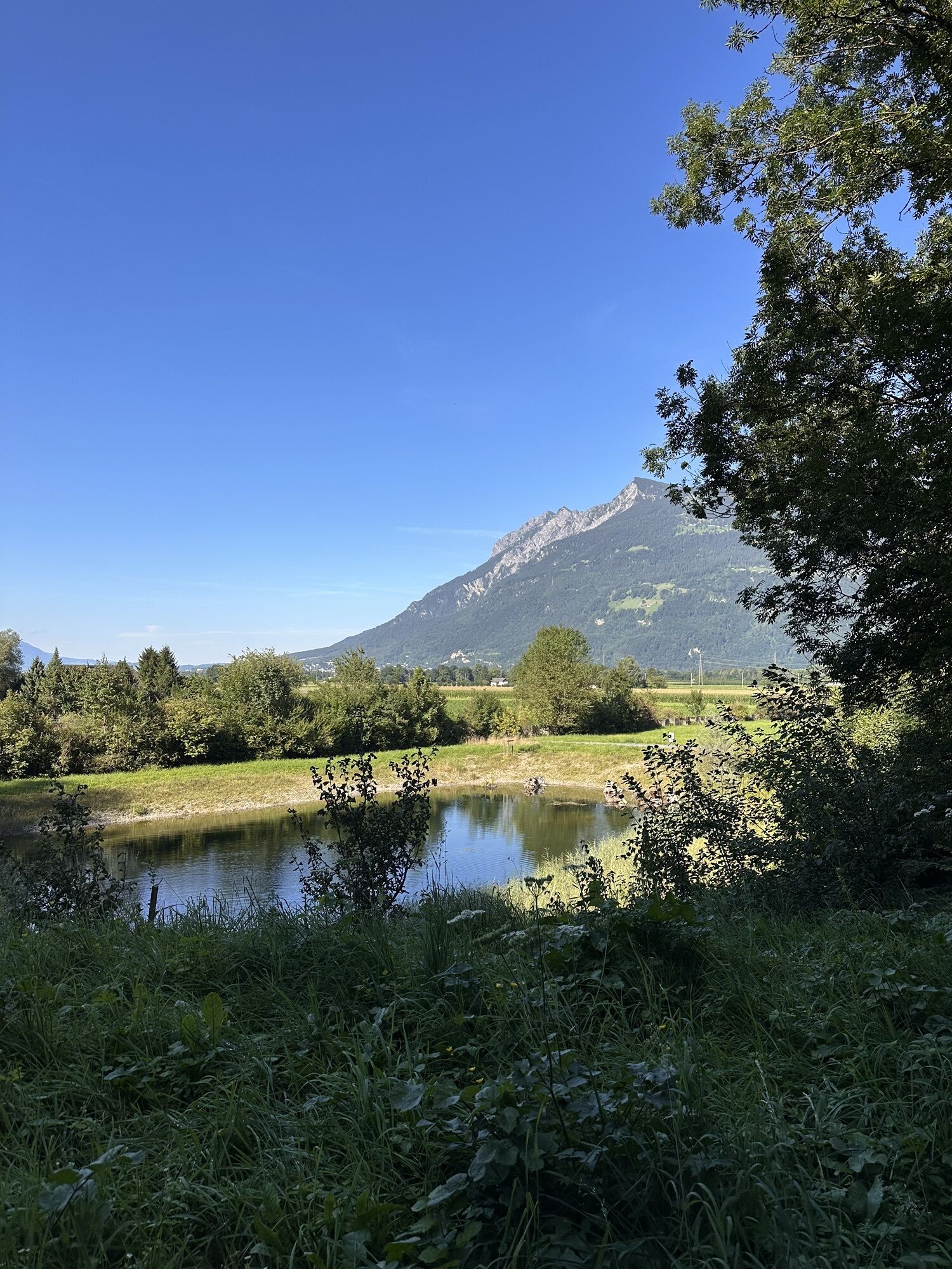
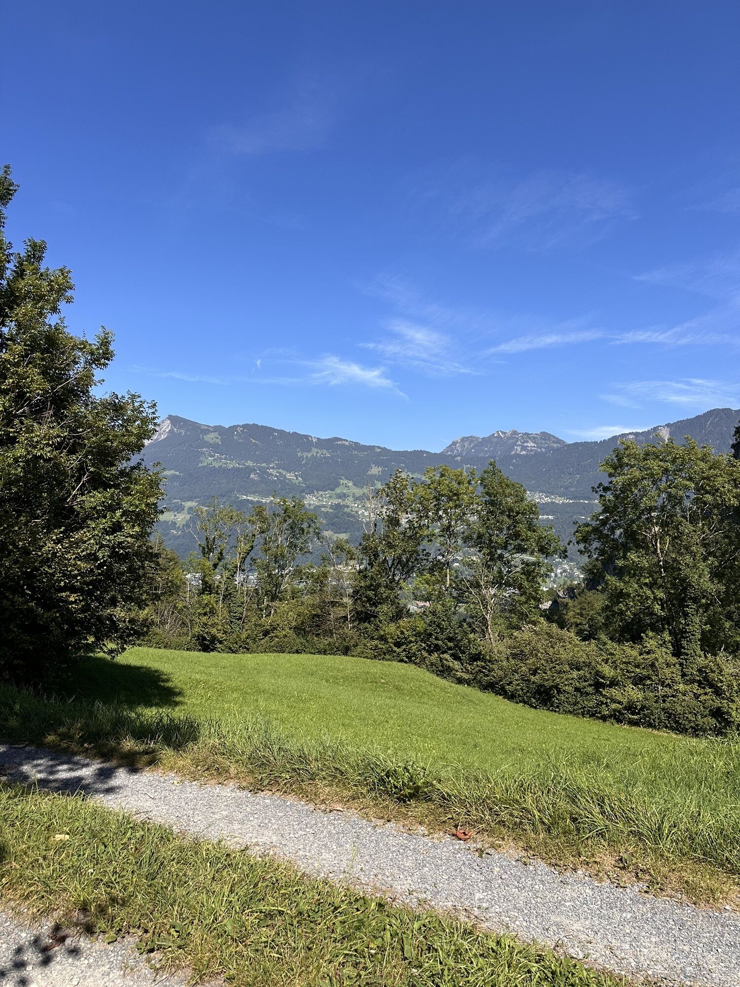
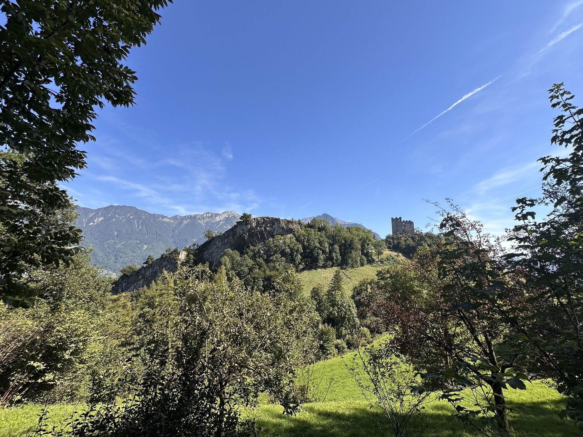
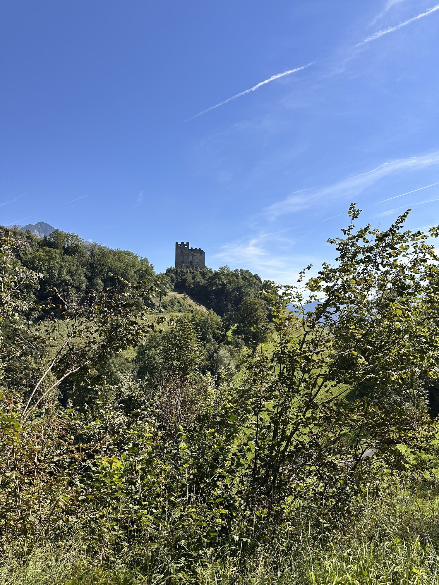
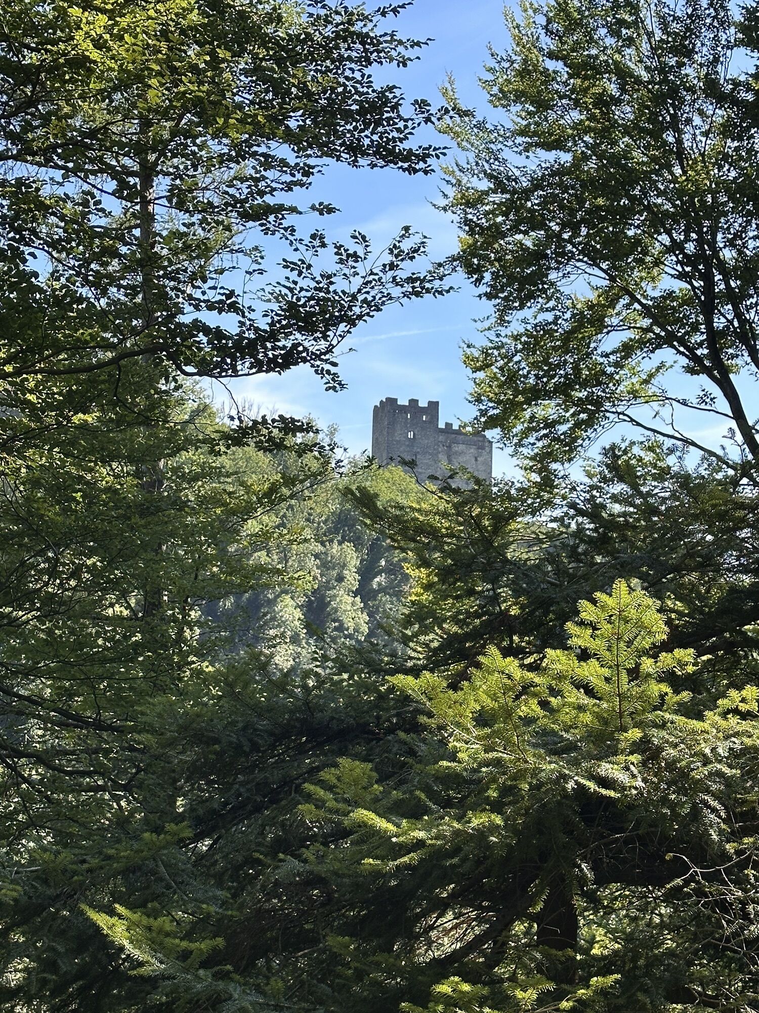
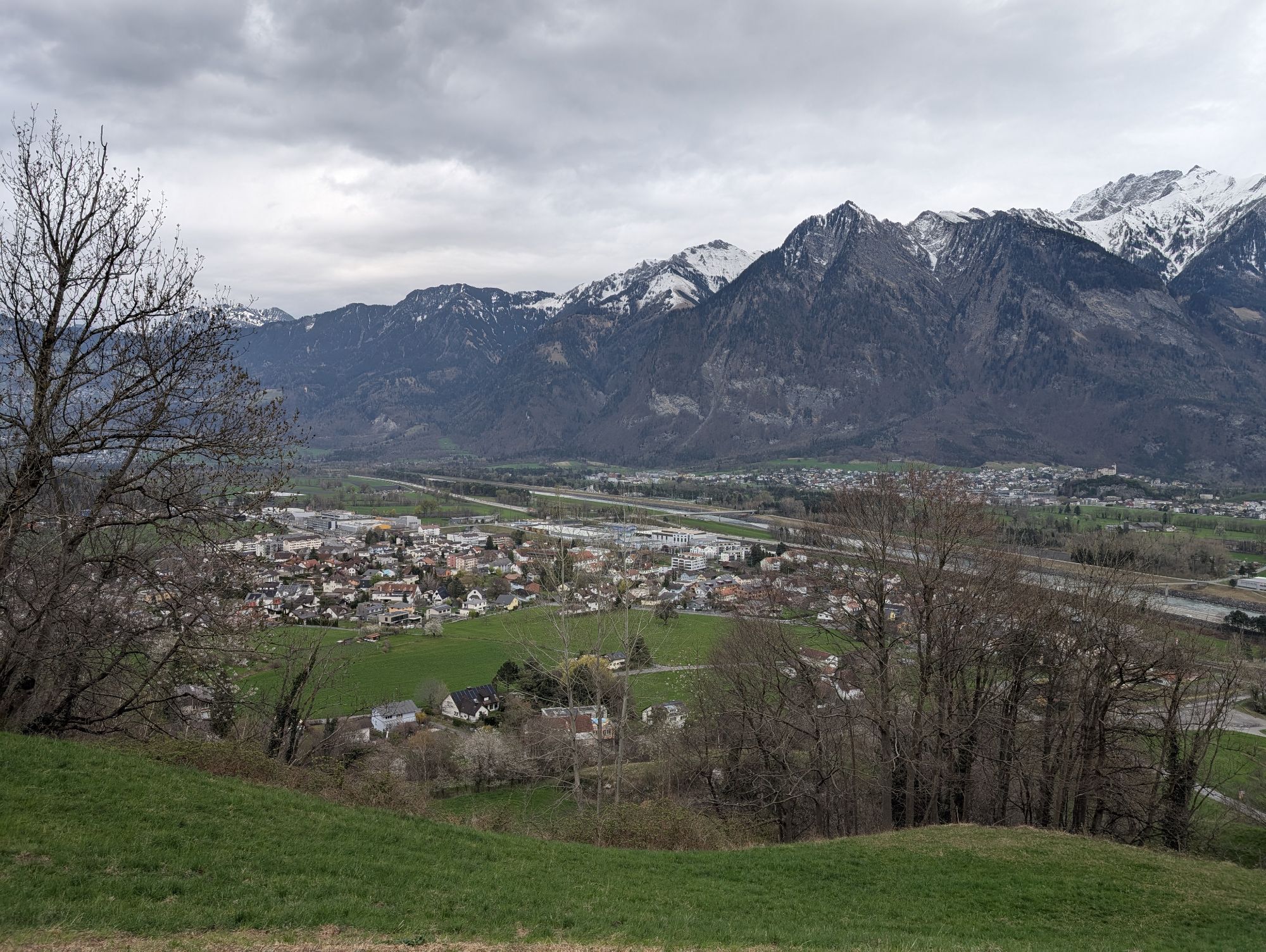
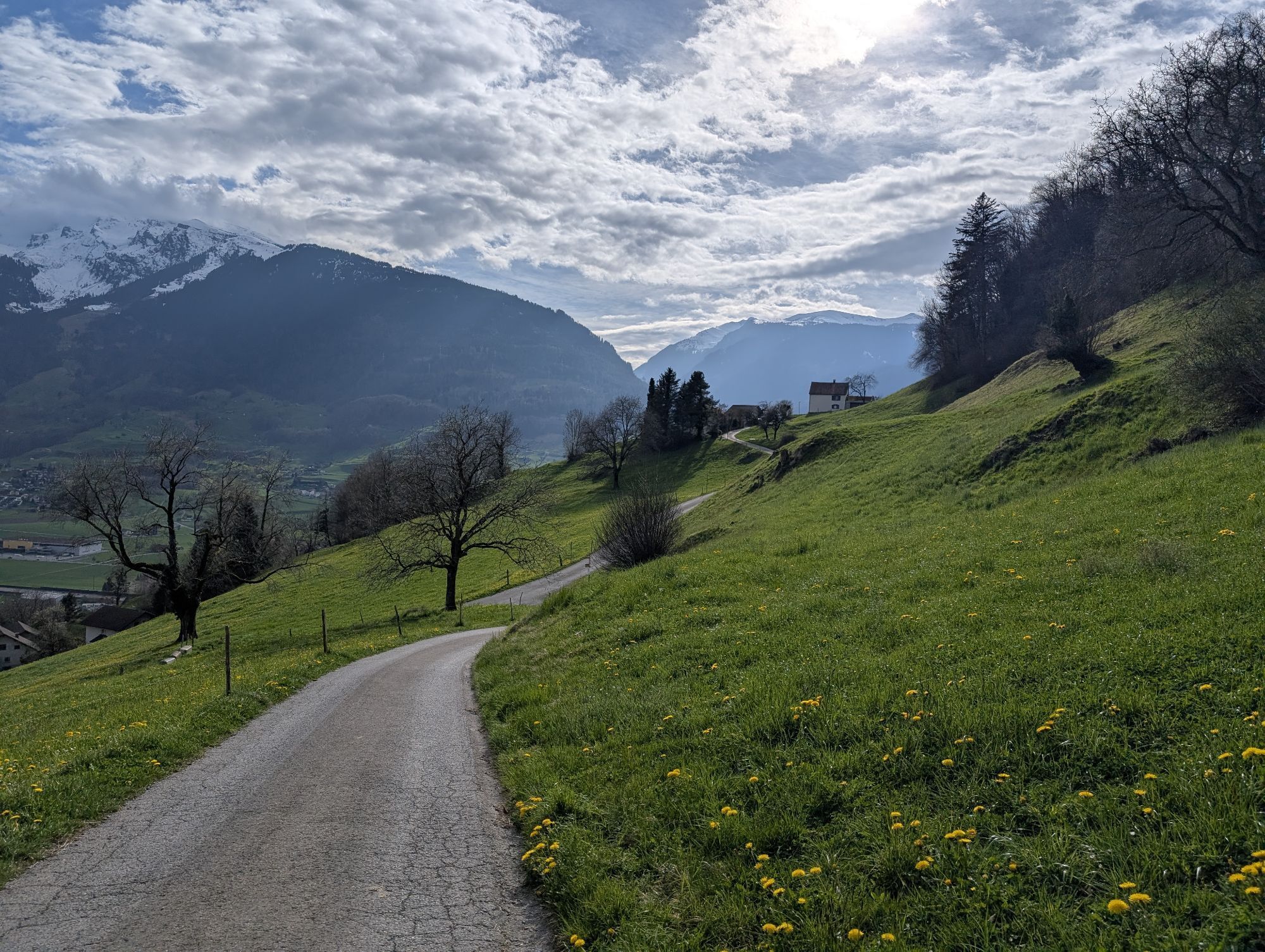
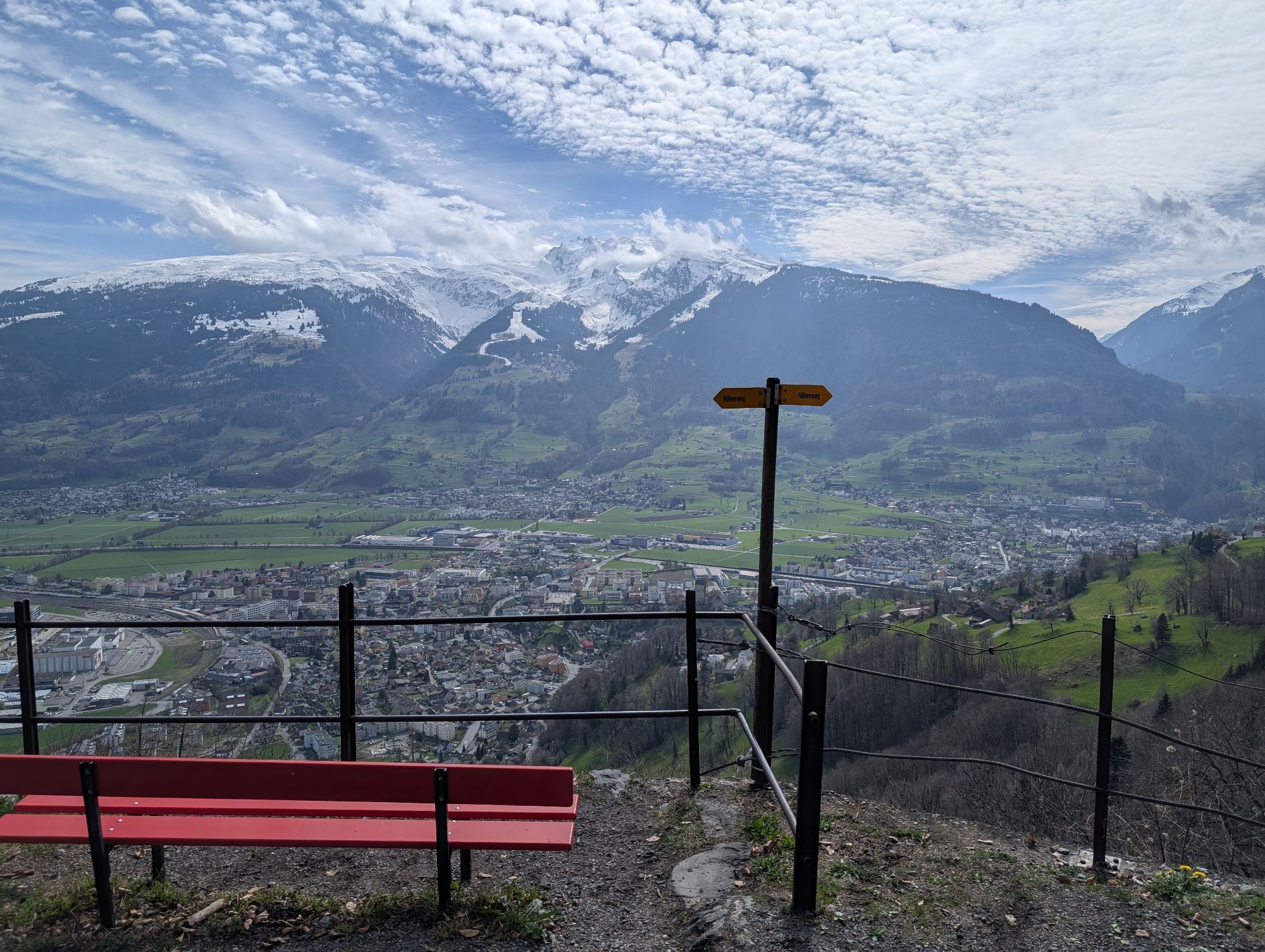
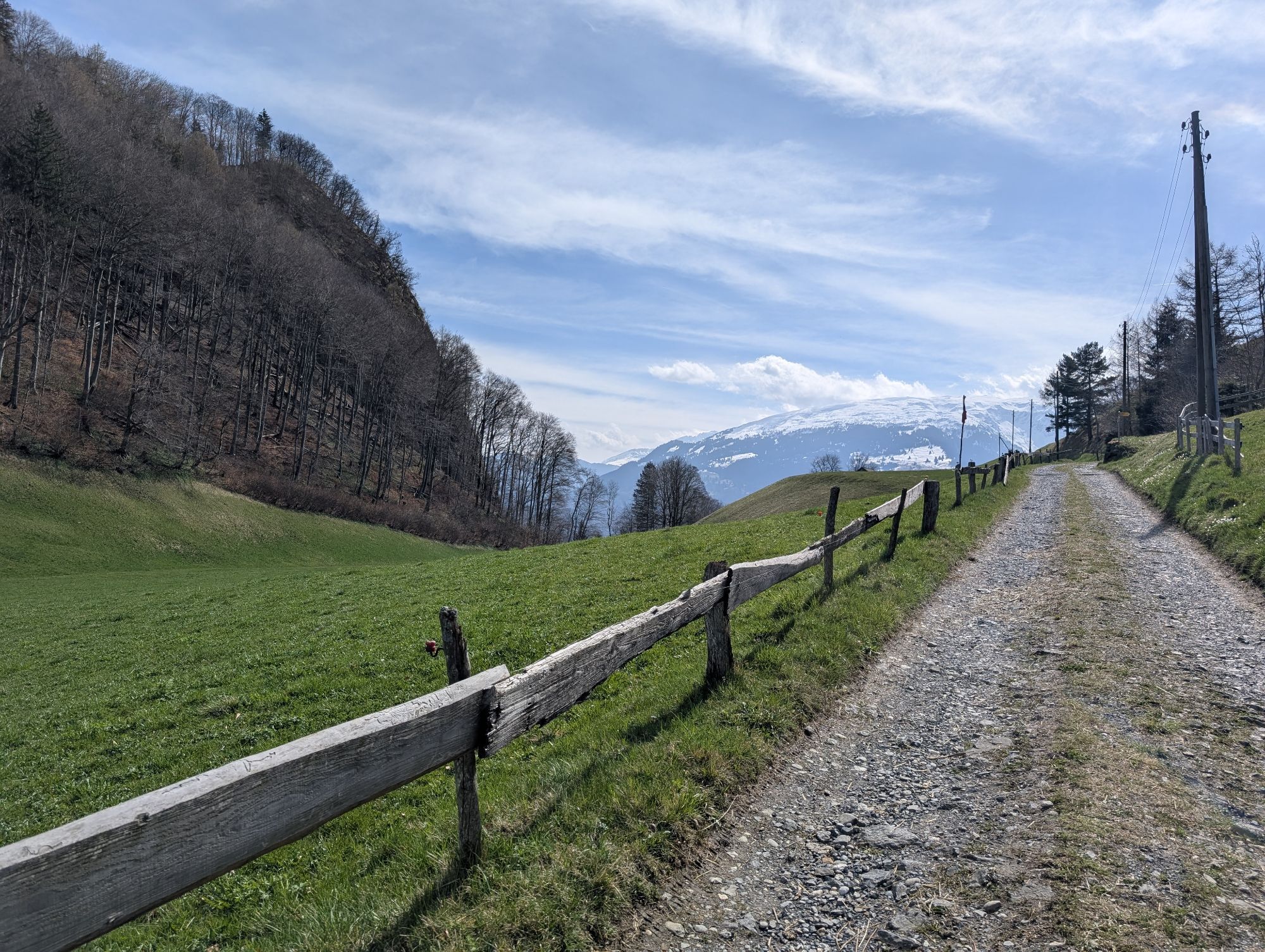
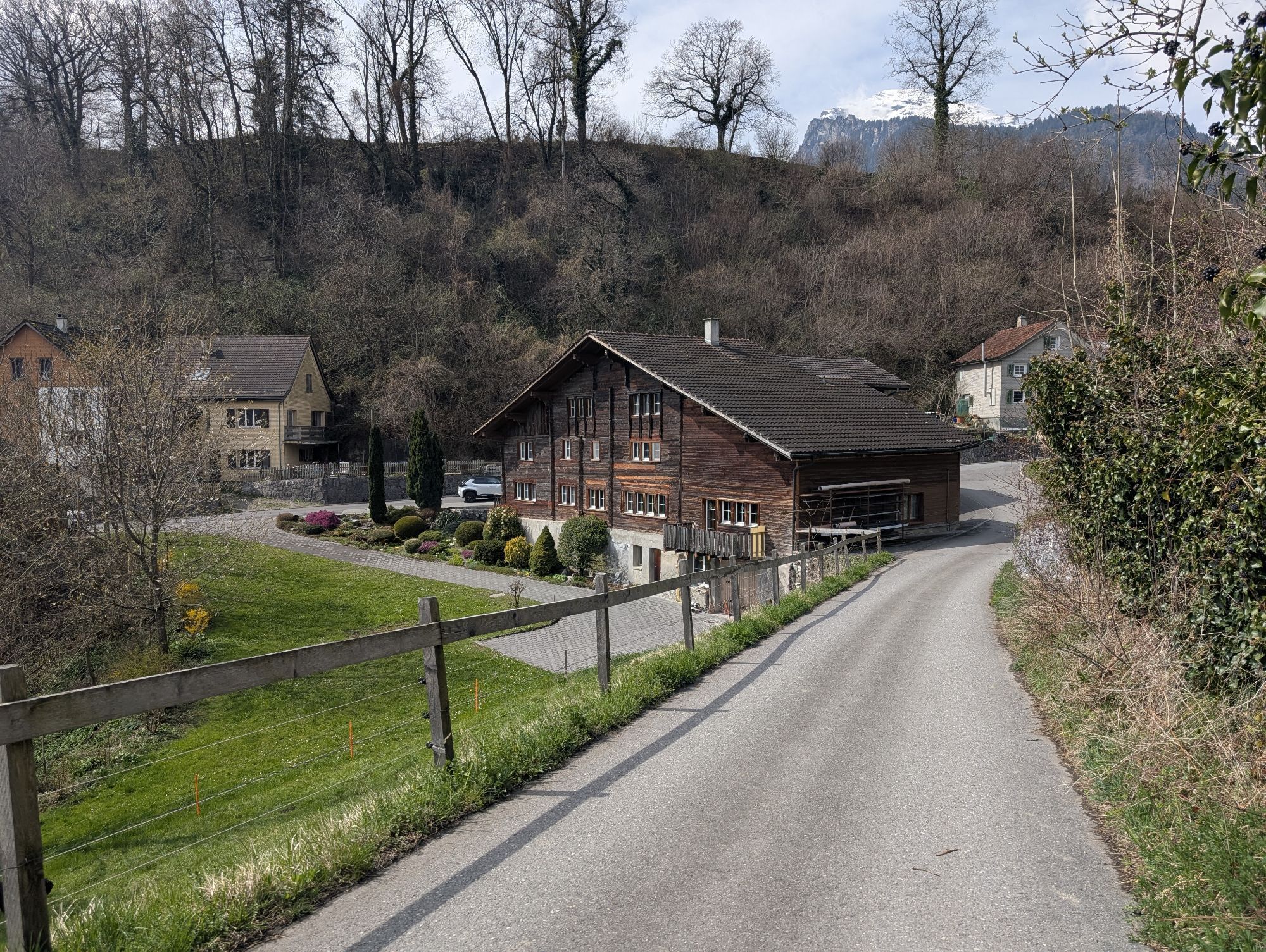
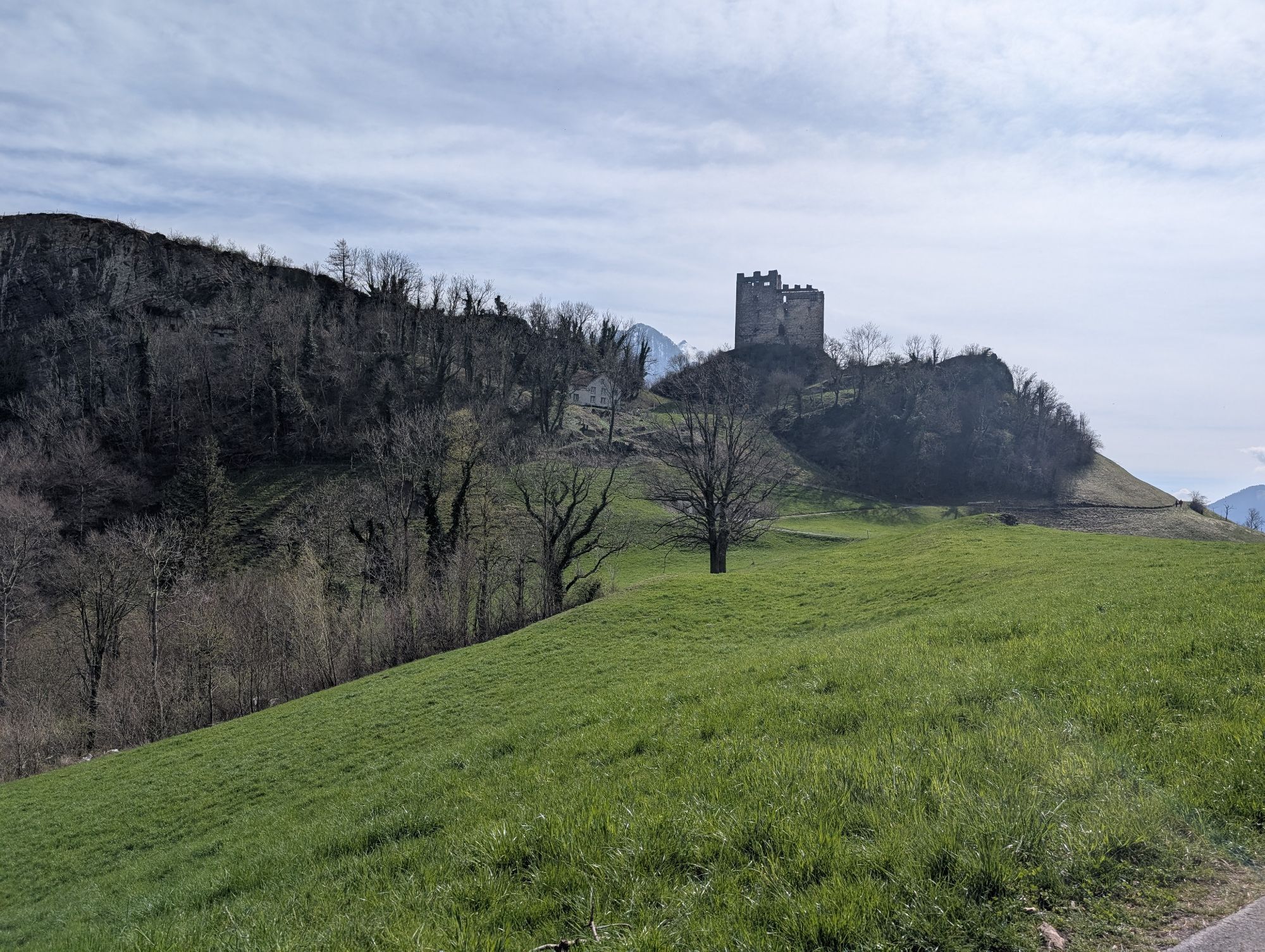
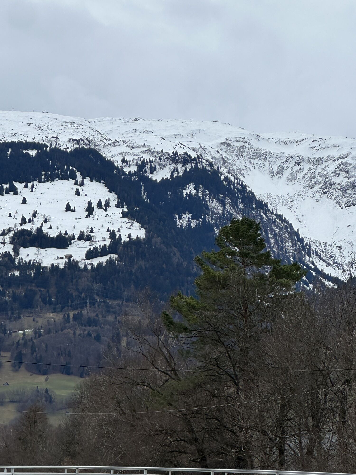
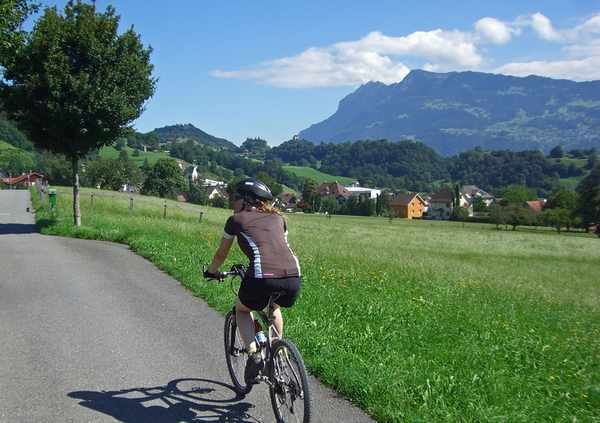
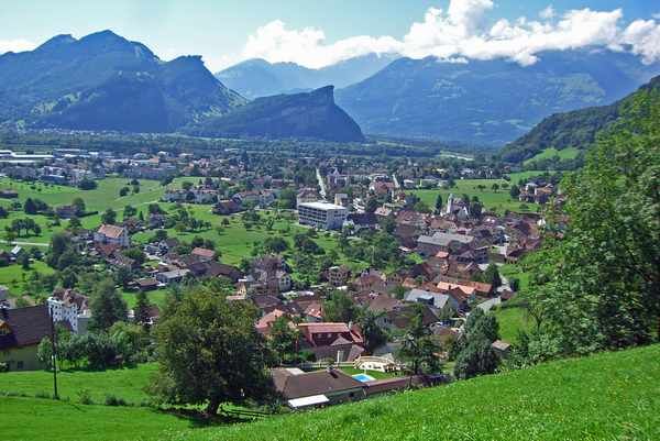
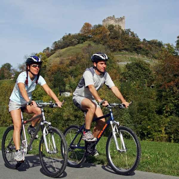
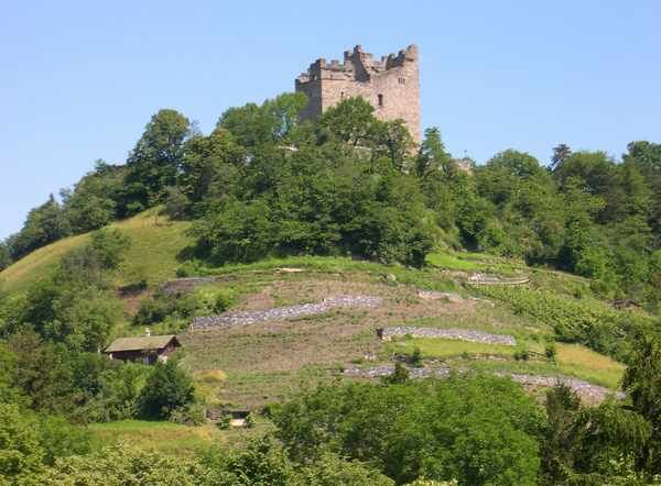
After the start at Sargans station, the route first leads along a small road with a view of Sargans Castle, then through a forest path behind the Schollberg and Maziferchopf. A short high-level trail with a beautiful panorama is followed by the first descent towards Trübbach and Azmoos. There the second ascent begins, which branches off past the Hotel Alvier (refreshment stop, beautiful panoramic terrace) and shortly afterwards back down towards Oberschan. After the rapid descent, we leave Oberschan and reach a gravel road that leads through the beautiful hilly landscape of Wartau, through Gretschins and past the landmark of the region (Wartau ruins) via Plattis to the Rhine dam. Along the Rhine dam, easy riding out to Sargans. On the way, you can review the tour and enjoy the panorama of Wartau on the right and the Principality of Liechtenstein on the left.

Sargans - Prod - Matug - Ob. Trübbach - Azmoos - Lafadarsch - Hotel Alvier - Oberschan - Gretschins - Wartau ruins - Plattis - Rheindamm - Sargans
Take the Sargans highway exit, then continue to Sargans train station.
By train to Sargans.
Public parking available at Sargans train station (subject to charge).
S1
Heidiland Tourismus AG
Valenserstrasse 6
7310 Bad Ragaz
Tel. +41 (0)81 720 08 20
Fax +41 (0)81 720 08 28
Email : info@heidiland.com
Internet :www.heidiland.com
Order mountain bike map :www.heidiland.com/de/erlebnisse/sommeraktivitaeten/mountainbike/kartenmaterial-bikeTOURISMUS
WARTAU: www.tourismuswartau.ch
TOURIST INFO WERDENBERG: www.werdenberg.ch
Popularne wycieczki w okolicy
-
4,6
To the summit cross of the Alpspitz
średniWędrówka 6,02 km -
3,7
Fürstin-Gina-Weg
Wędrówka 10,7 km -
4,7
5-Seen Wanderung am Pizol
światłoWędrówka 10,1 km -
3,8
Sassweg - von Malbun zum Sass-Seelein
Wędrówka 4,14 km -
4,9
From Malbun to the Schönberg
średniWędrówka 12,4 km -
4,7
Tamina Gorge Circular Route
średniWędrówka 14,0 km -
5,0
Schrina Alp and Cultural Trail
średniTrasa tematyczna 11,5 km -
4,7
Alvier
średniWędrówka 3,33 km -
3,6
Fürstensteig-Drei Schwestern
Wędrówka 12,9 km -
4,7
Off to the Falknis
ciężkiWędrówka 18,2 km
Wędrówki i tropienie


Nie przegap ofert i inspiracji na następne wakacje
Twój adres e-mail została dodana do listy mailingowej.