


Taminaschlucht Trail 412
Zdjęcia naszych użytkowników
 © Rita GortUtworzono dnia 27.06.2023
 © Rita GortUtworzono dnia 27.06.2023
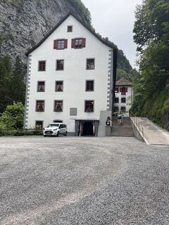 © Rita GortUtworzono dnia 27.06.2023
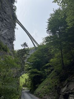 © Rita GortUtworzono dnia 27.06.2023
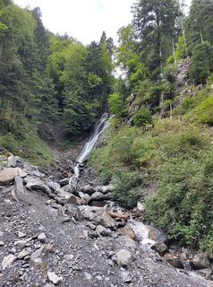
 © Stefan HeinzelmannUtworzono dnia 03.09.2025
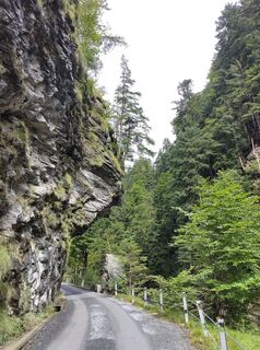 © Stefan HeinzelmannUtworzono dnia 03.09.2025
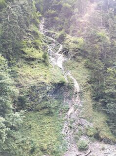 © Stefan HeinzelmannUtworzono dnia 03.09.2025
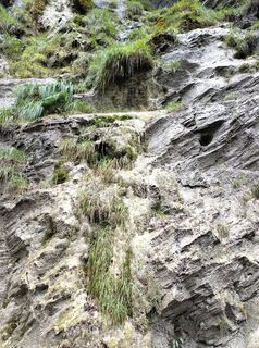 © Stefan HeinzelmannUtworzono dnia 03.09.2025
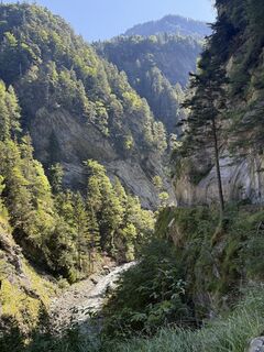
 © Marianne GrobnerUtworzono dnia 26.08.2025
 © Marianne GrobnerUtworzono dnia 26.08.2025
 © Marianne GrobnerUtworzono dnia 26.08.2025
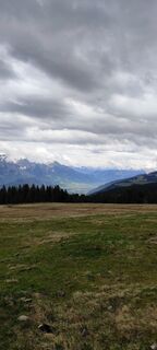
 © Joe TäschlerUtworzono dnia 04.05.2025
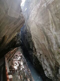
 © luyyyUtworzono dnia 31.08.2024
 © PerryBUtworzono dnia 25.06.2023


The starting point for this 5.9 km long trail is the Info Point of the Bad Ragaz station near the Giessenpark outdoor pool (503 m above sea level). Like the Giessenpark Trail, the Taminaschlucht Trail...
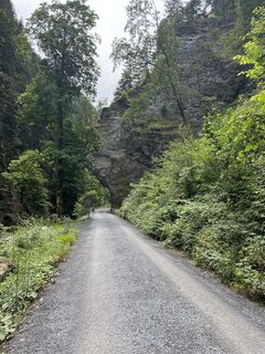
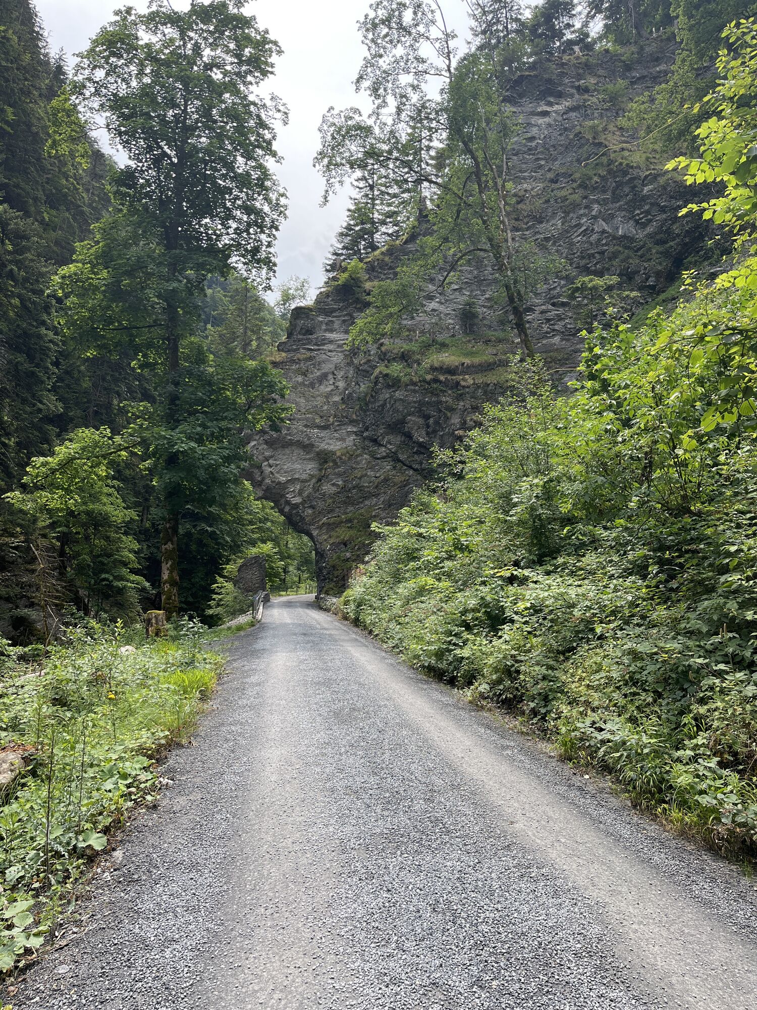
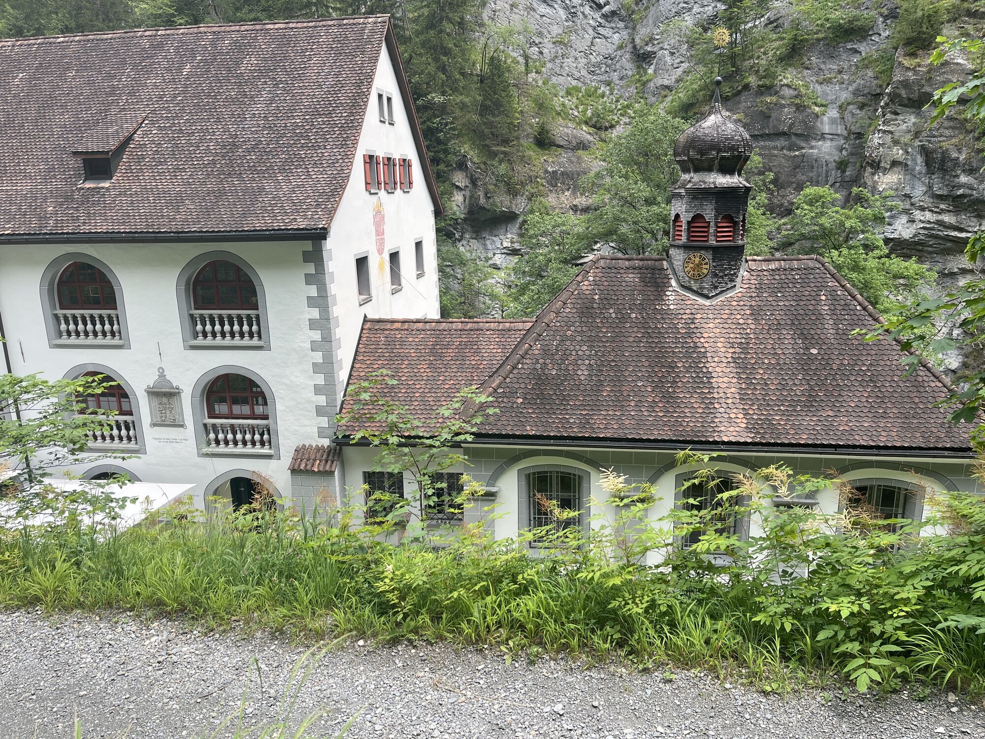
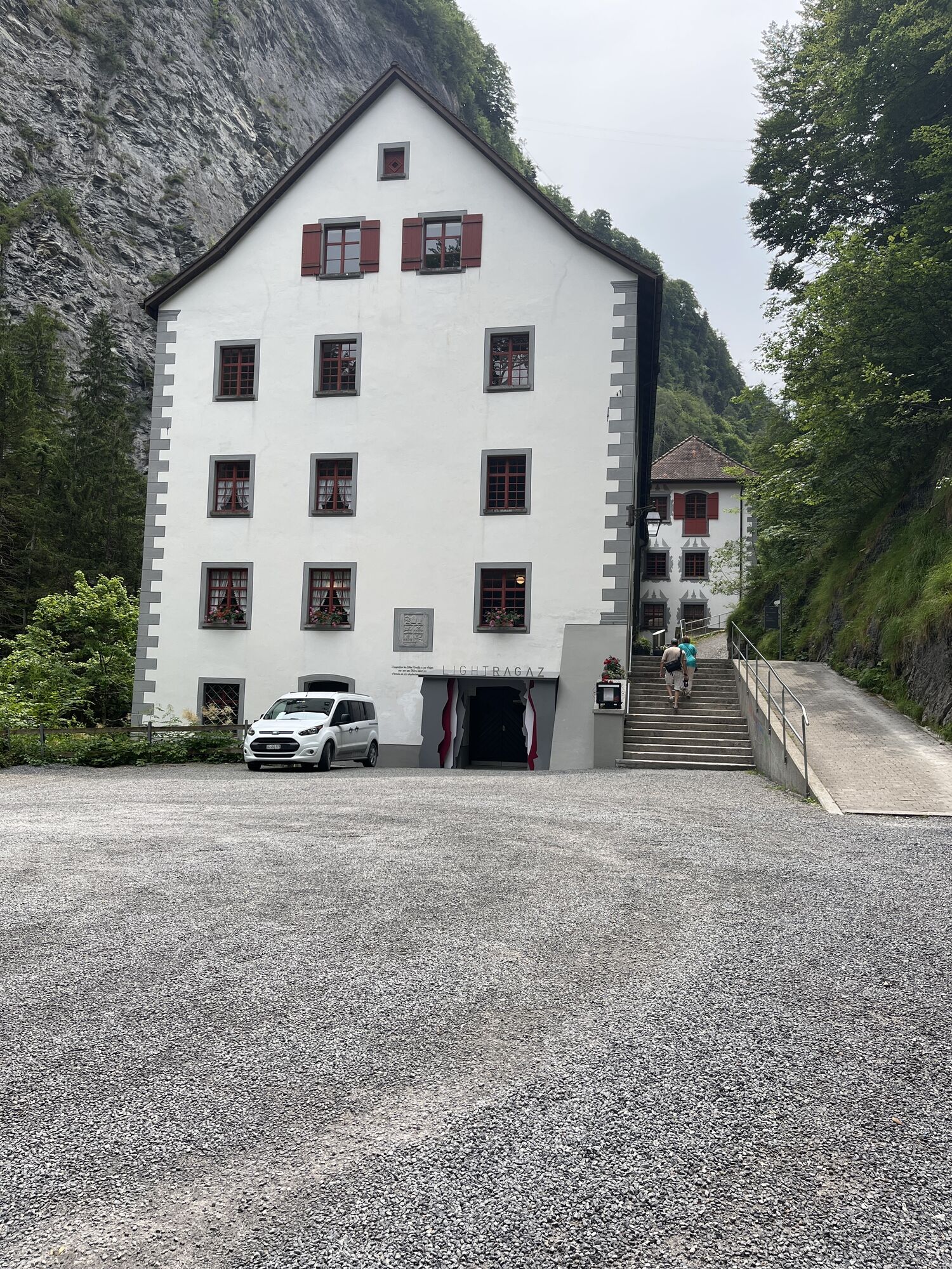
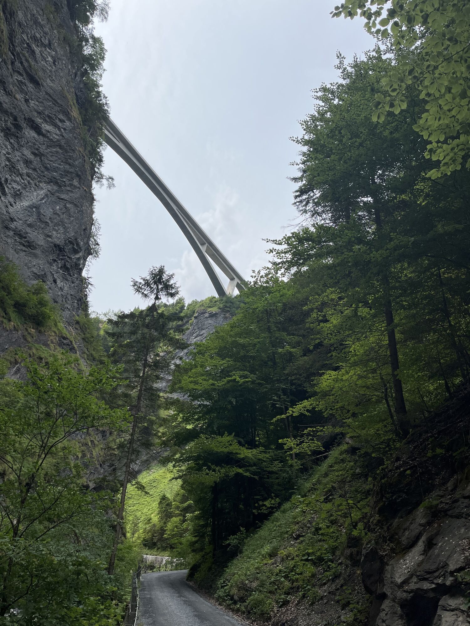
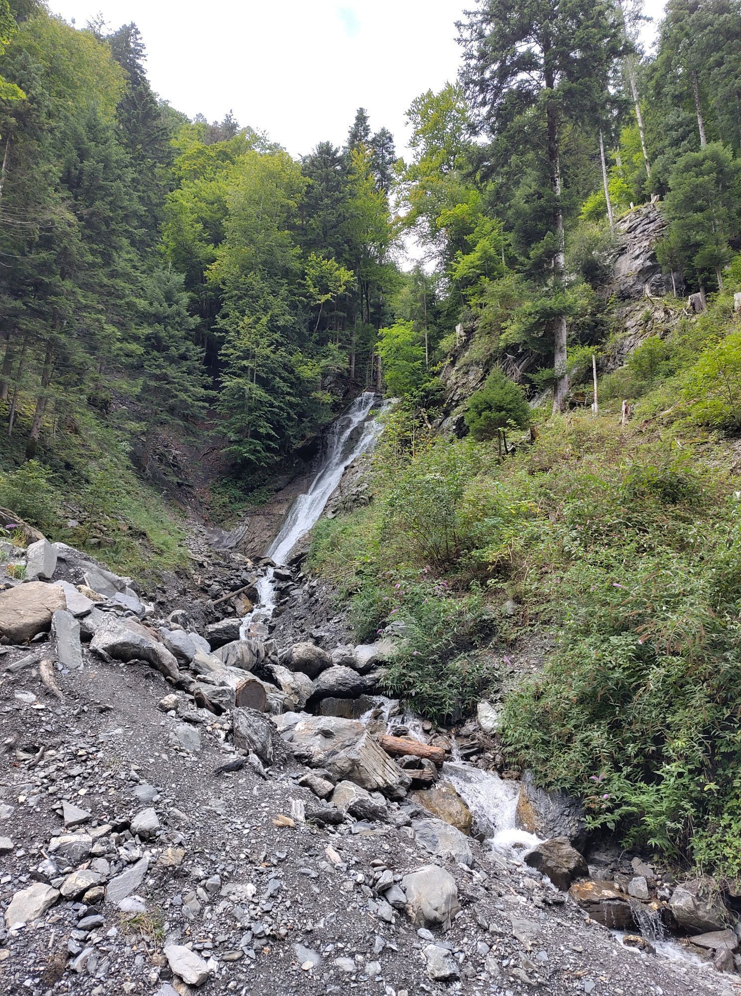
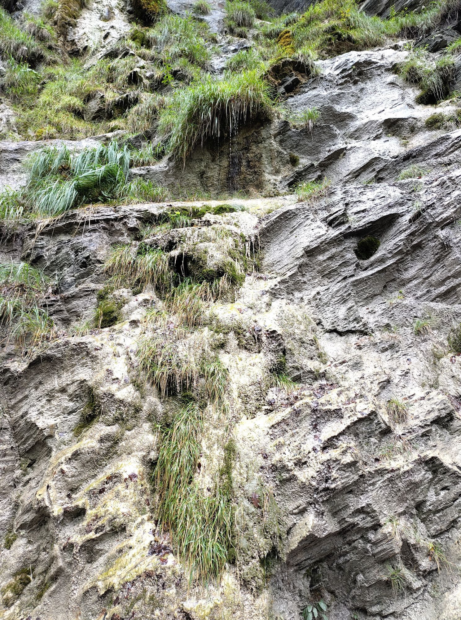
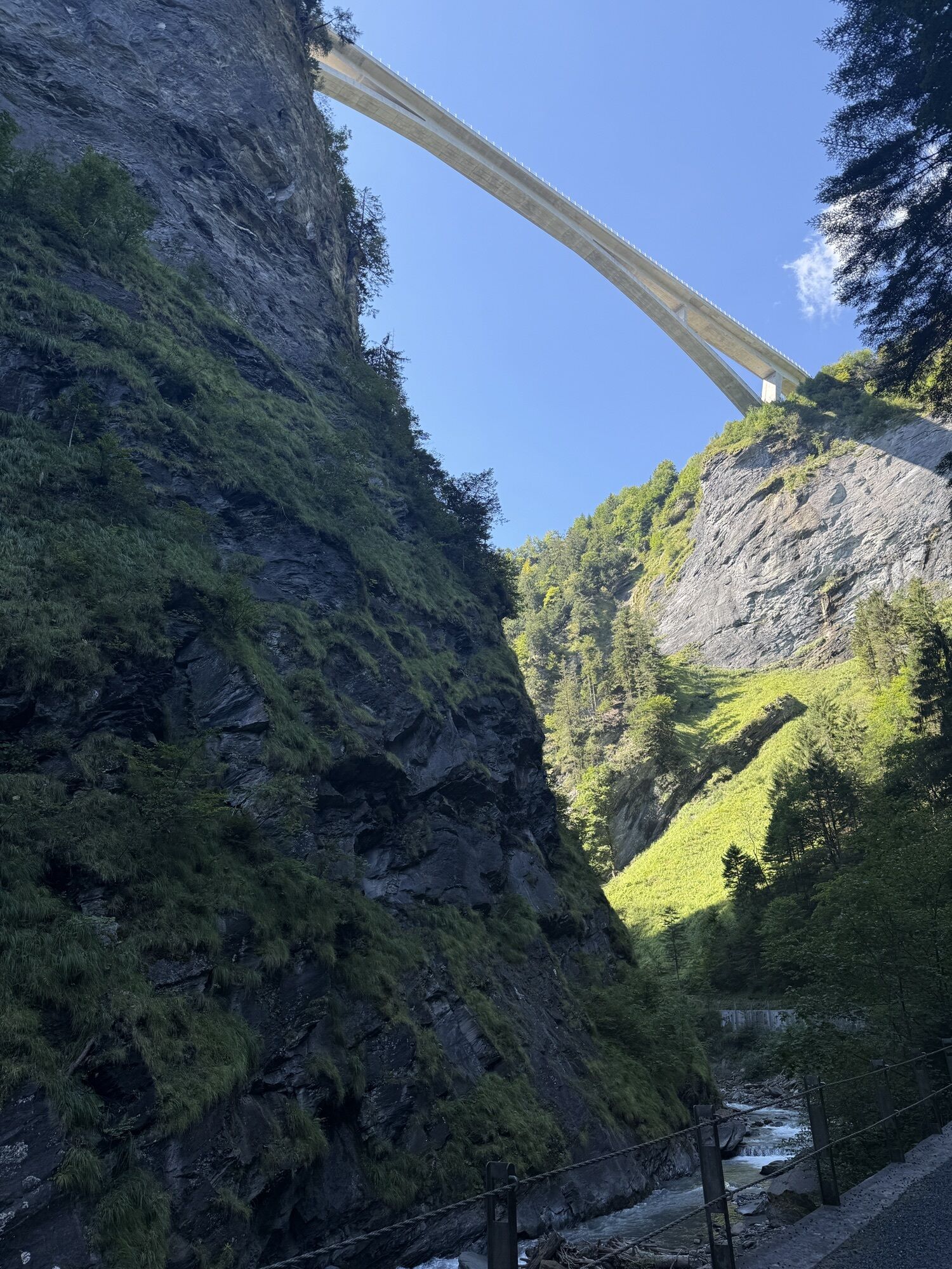
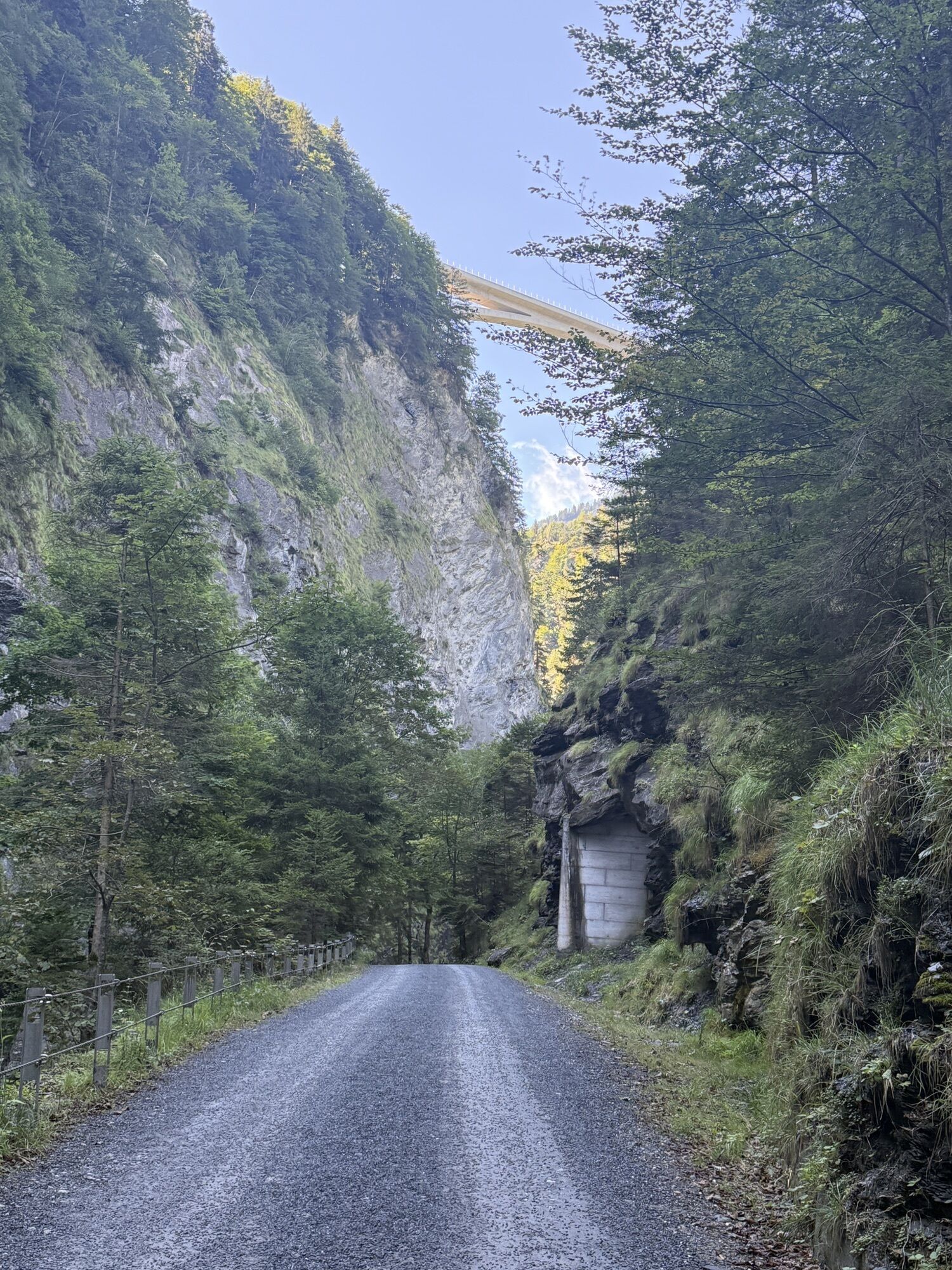
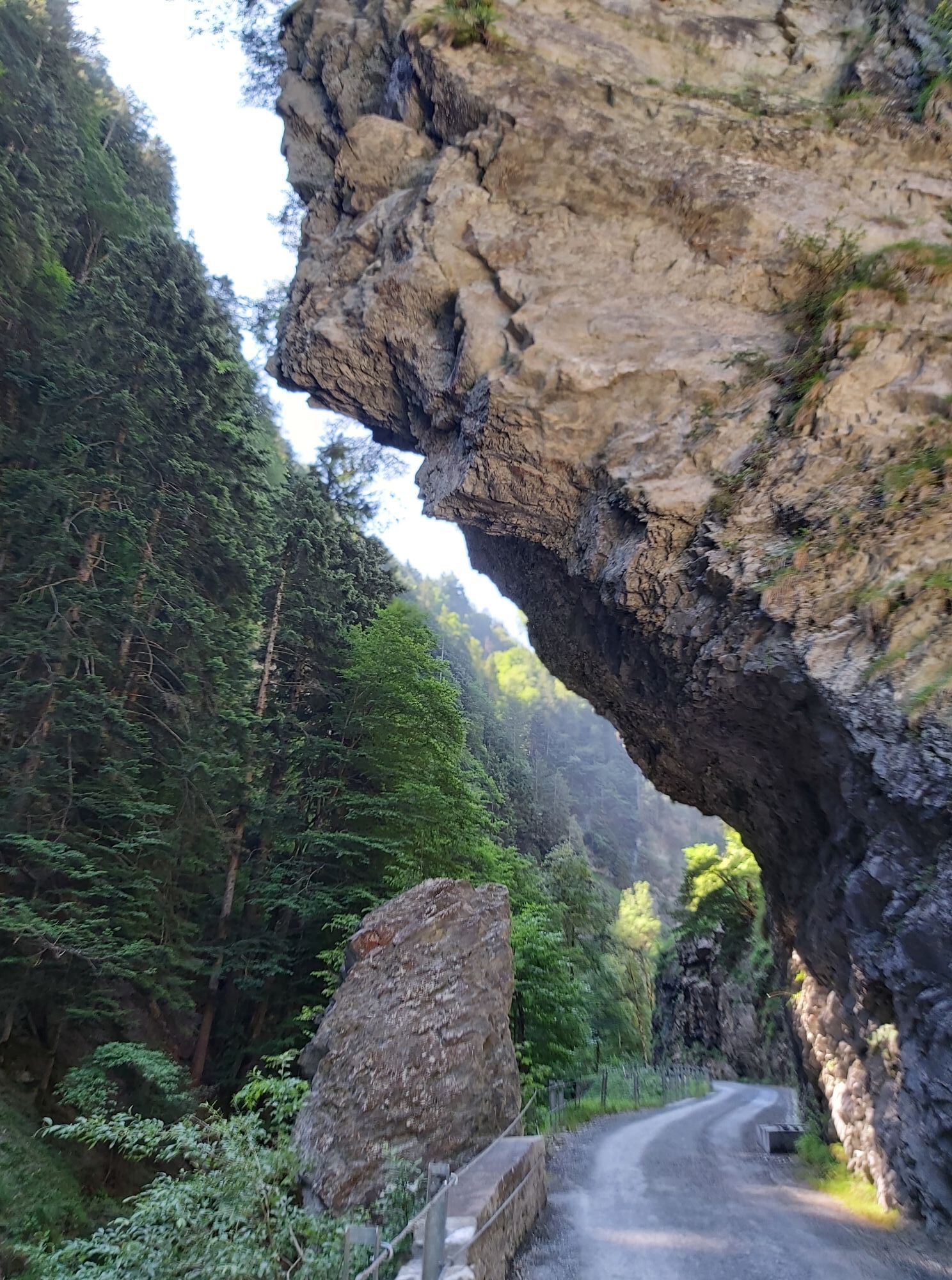
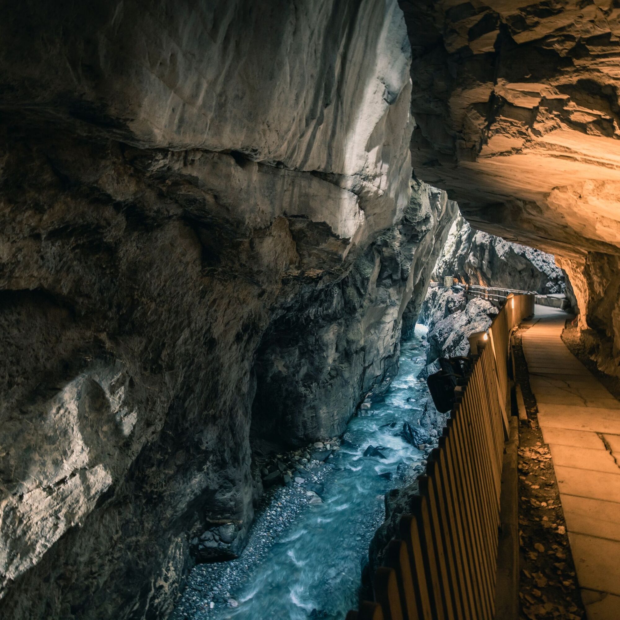
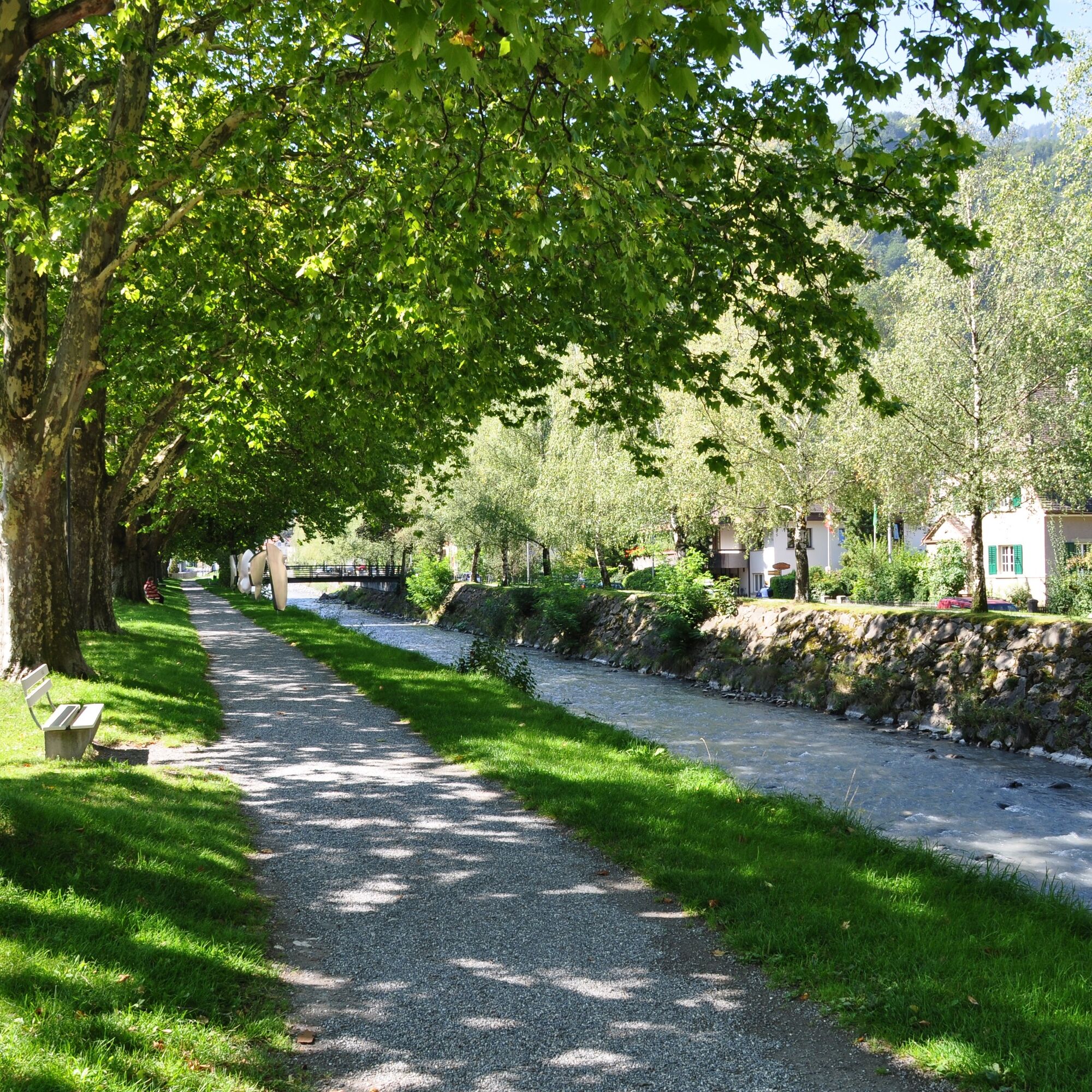
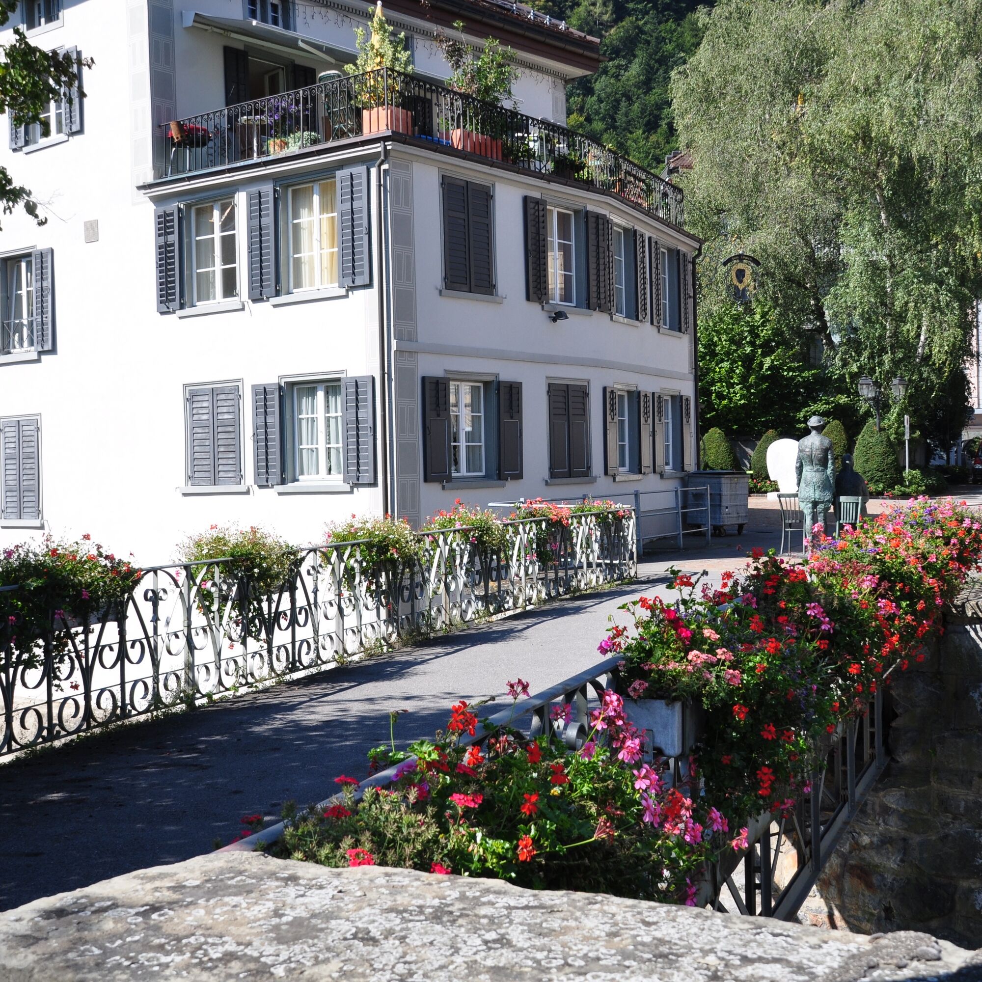
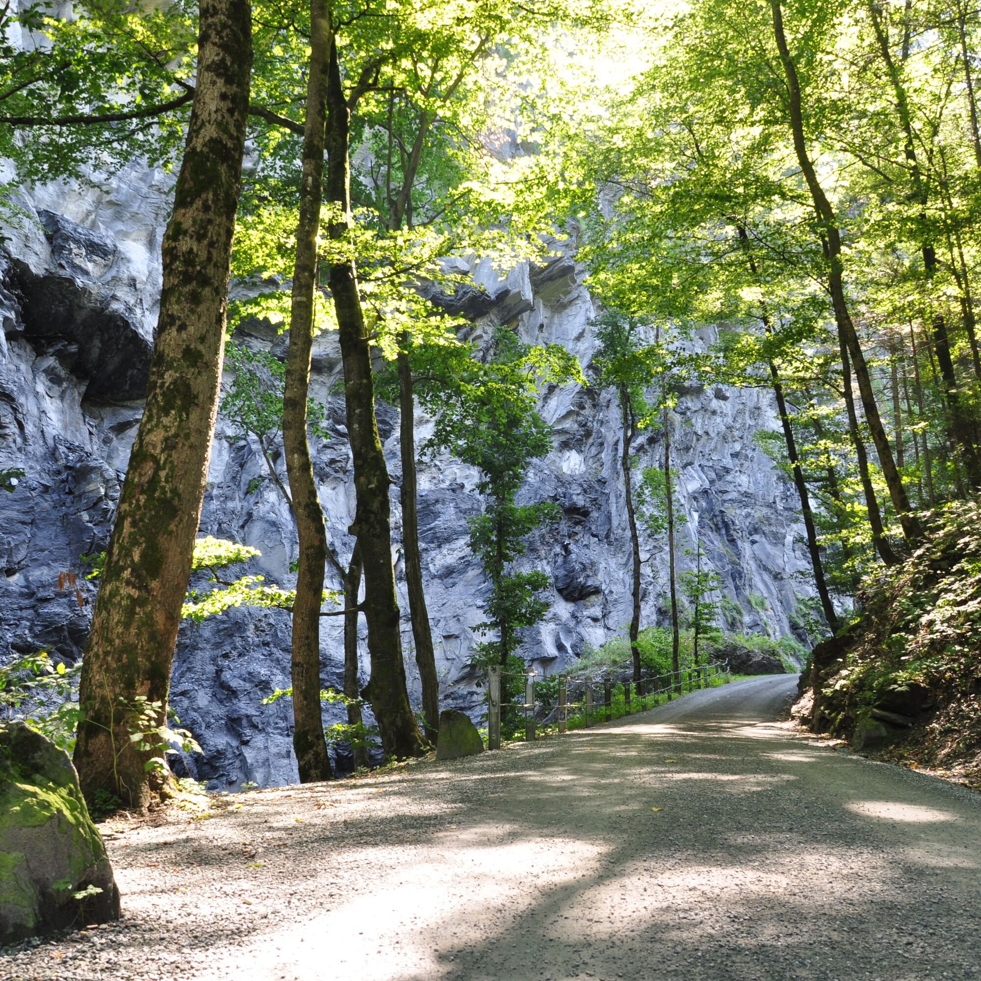
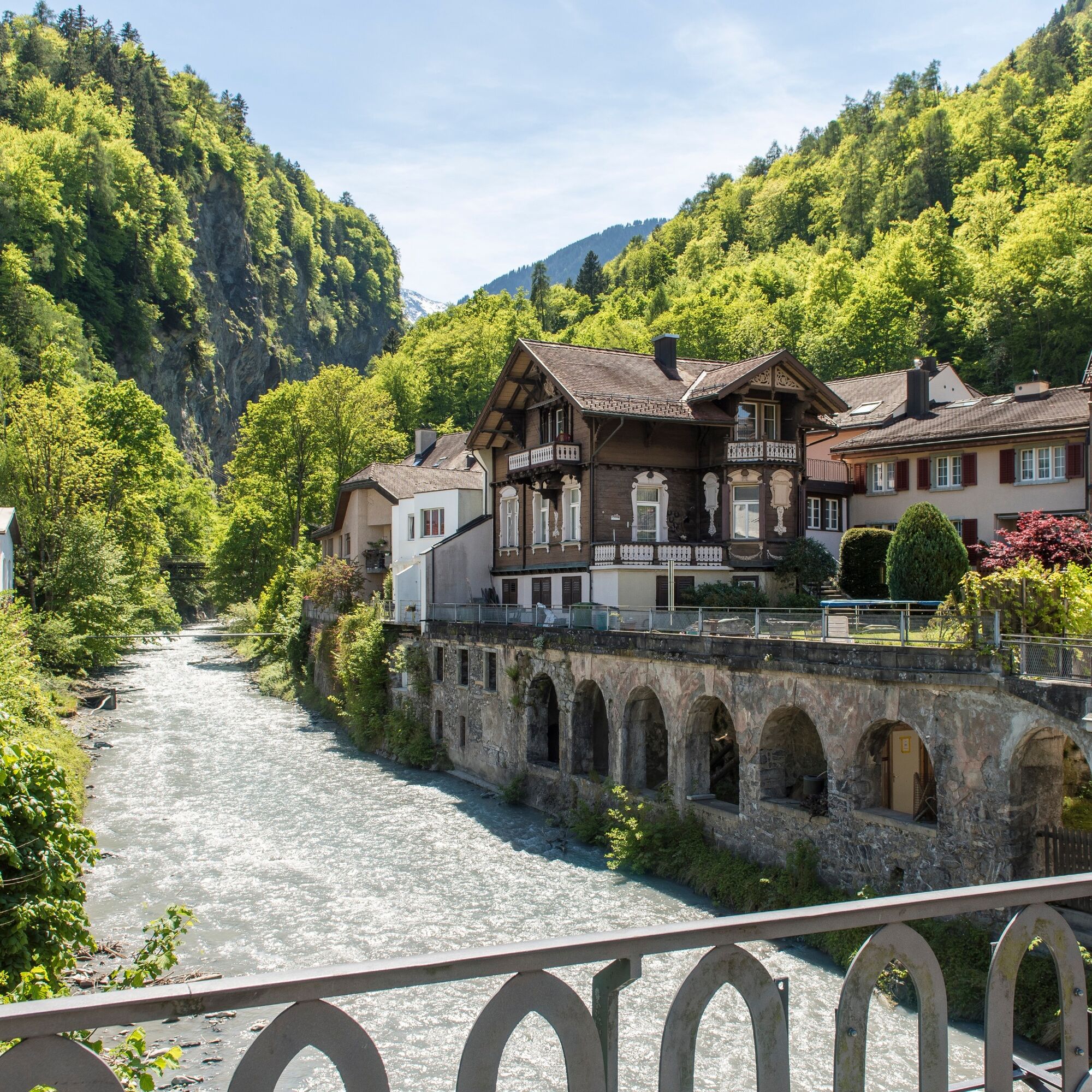
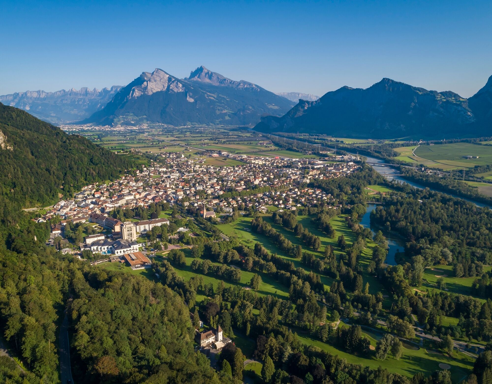
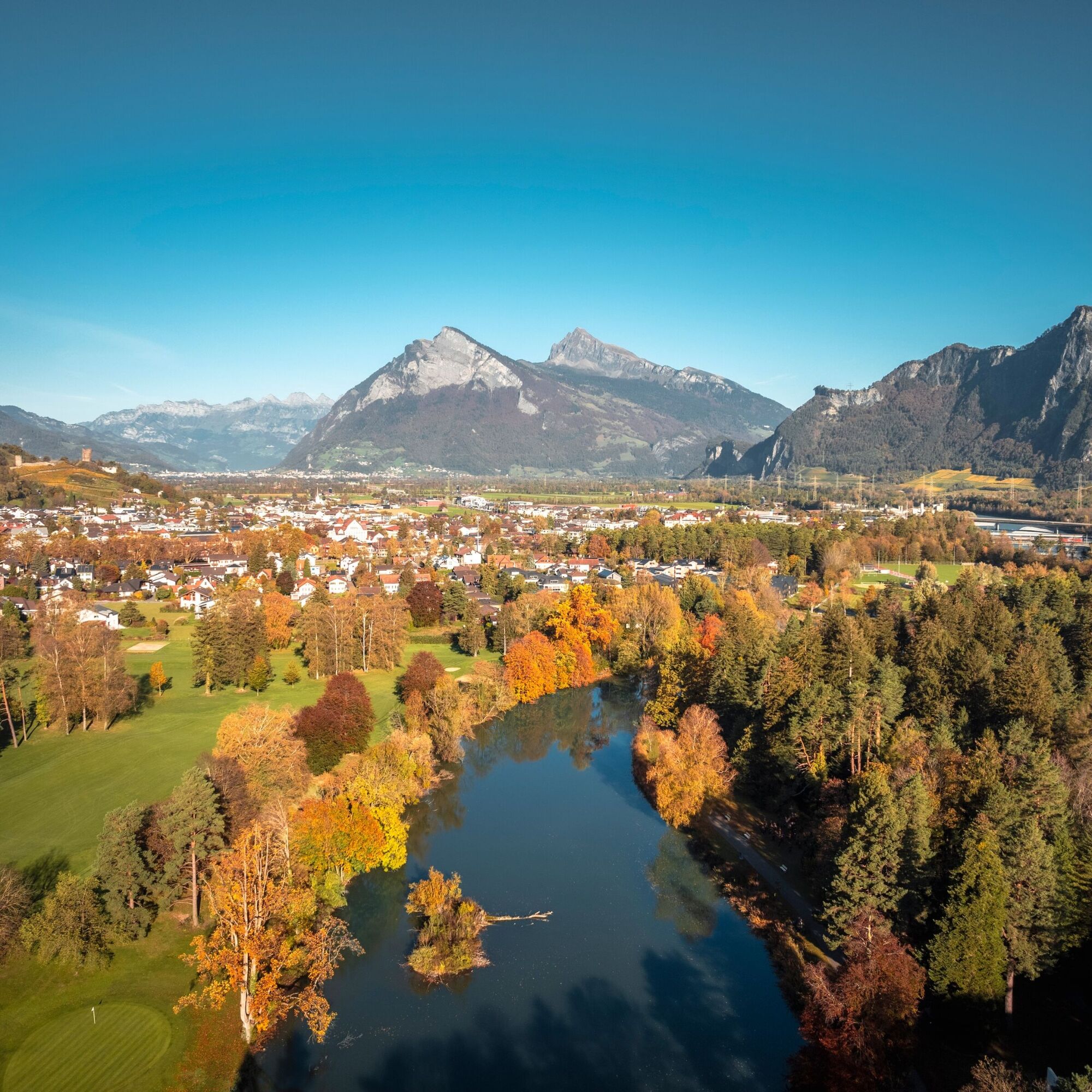
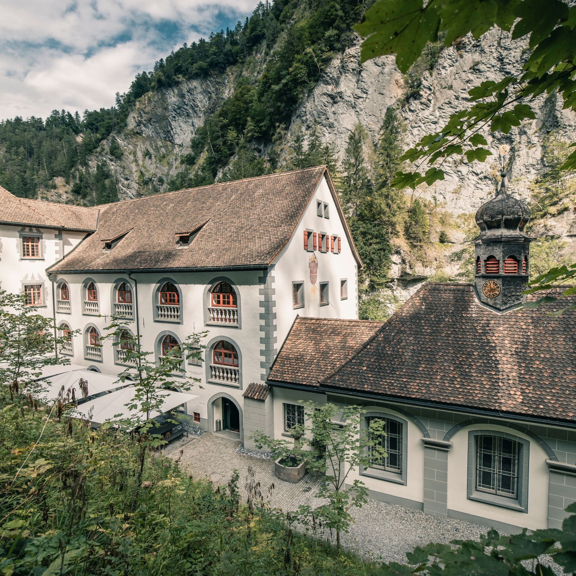
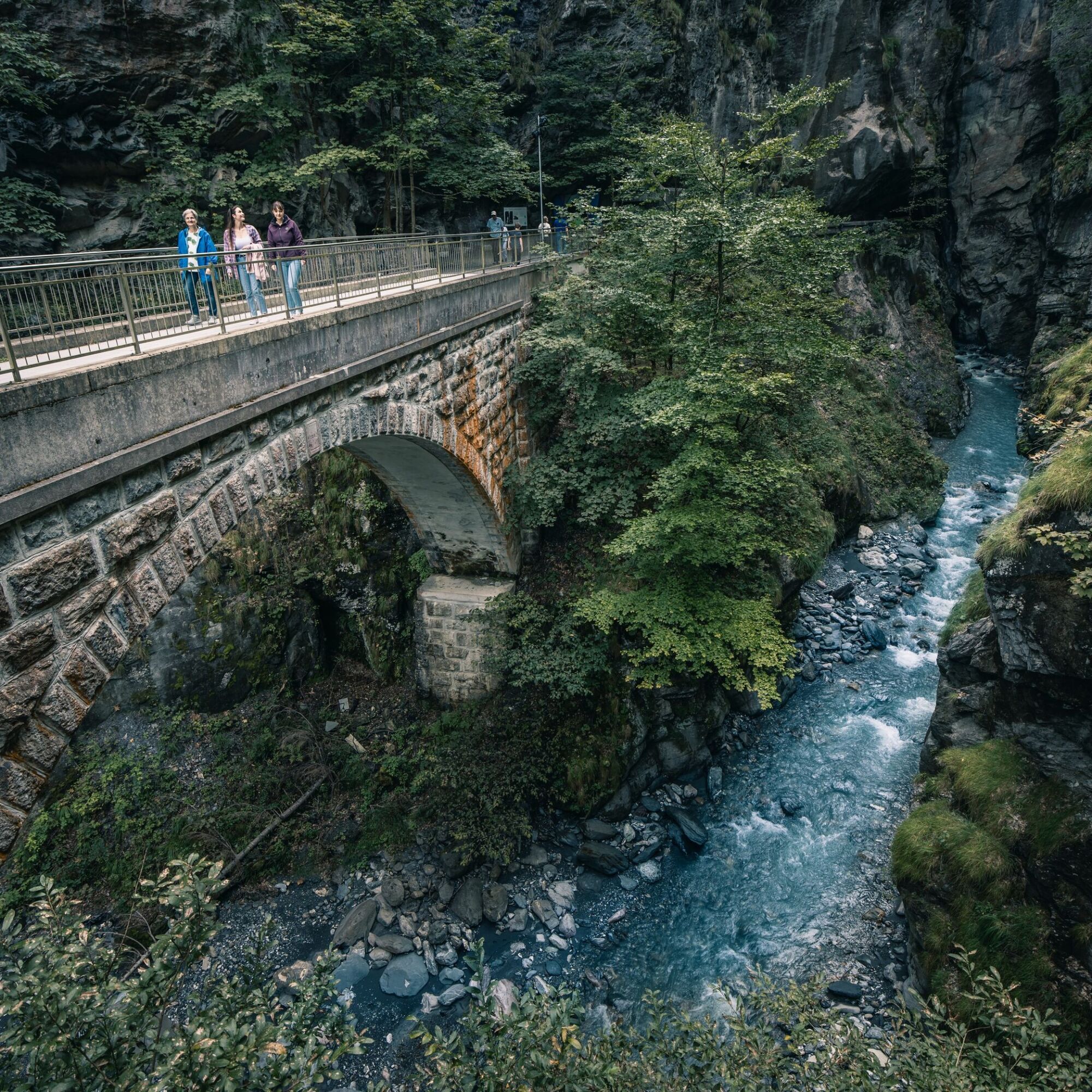
The starting point for this 5.9 km long trail is the Info Point of the Bad Ragaz station near the Giessenpark outdoor pool (503 m above sea level). Like the Giessenpark Trail, the Taminaschlucht Trail first follows the Tamina along the romantic mixed forest and past a mighty beech alley to the entrance of the village of Bad Ragaz (514). In the village itself, you first cross the Tamina and go through picturesque streets to the entrance of the Badtobel at the southern edge of the village. Flanked by imposing rock walls, the trail meanders along the Tamina through partly dense forest, past numerous waterfalls and various types of vegetation, to the Old Bad Pfäfers (680), where the trail ends and right behind it is the entrance to the mystical Taminaschlucht. The Taminaschlucht Trail is particularly recommended on hot days. Shady sections and the cool stream air in the ravine provide a refreshing running experience.


Giessenpark Bad Ragaz - Bad Ragaz - Badtobel - Old Bad Pfäfers
Good and comfortable jogging gear.
Take the Bad Ragaz highway exit, then follow signs towards Giessenpark.
Public parking available at Giessenpark (paid).
Heidiland Tourism
Info point Bad Ragaz
T +41 81 300 40 20
www.heidiland.com
Visit the world-famous Taminaschlucht (entrance CHF 5.-) and the Museum of the Old Bad Pfäfers.
Popularne wycieczki w okolicy
- 3,7
Fürstin-Gina-Weg
Wędrówka 10,7 km - 3,7
5-Seen-Wanderung - DER KLASSIKER
ciężkiWędrówka 9,70 km - 4,8
Pizalun circular route
światłoWędrówka 7,18 km - 4,7
Alvier
średniWędrówka 3,33 km - 4,3
Tamina Gorge Circular Route
średniWędrówka 14,0 km - 4,5
Off to the Falknis
ciężkiWędrówka 18,2 km - 5,0
Circular hike Bettlerweg & 2-Lakes Hike Pizol
średniWędrówka 11,4 km - 4,5
St. Martin - Alp Sardona - St. Martin
średniWędrówka 14,2 km - 4,5
Pizol summit tour
średniWędrówka 9,28 km - 5,0
Malans-Jenins Wine Route
światłoWędrówka 10,3 km
Wędrówki i tropienie


Nie przegap ofert i inspiracji na następne wakacje
Twój adres e-mail została dodana do listy mailingowej.