


St Olav Ostrobothnia (S) 10/10, Solf-Vasa
A medium-length, easy-to-walk day stage, which in Old Vaasa (halfway) joins the northern part of the trail and follows a common route to the centre of Vaasa and the Trinity Church.
The Solfvägen cycle path...
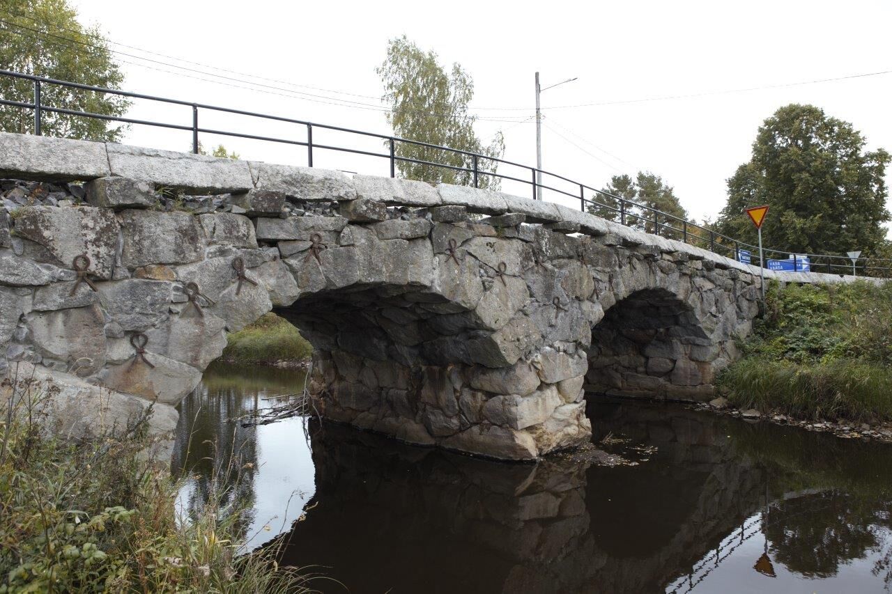
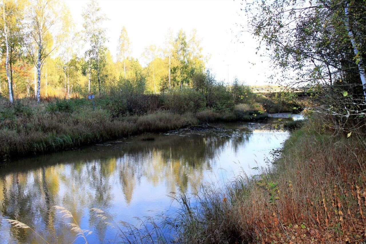
The Solfvägen cycle path leads towards Strandvägen (673); after a few hundred metres, you can turn to Solf ängsväg and then follow the field road parallel to Strandvägen. The trail then continues on the other side of Strandvägen, along Tölby-Vikbyvägen (gravel), where you initially pass Elinors Farm (self-service restaurant). After 3.6 km on the gravel road, you will return to Strandvägen, where you will later cross the motorway to Vaasa.
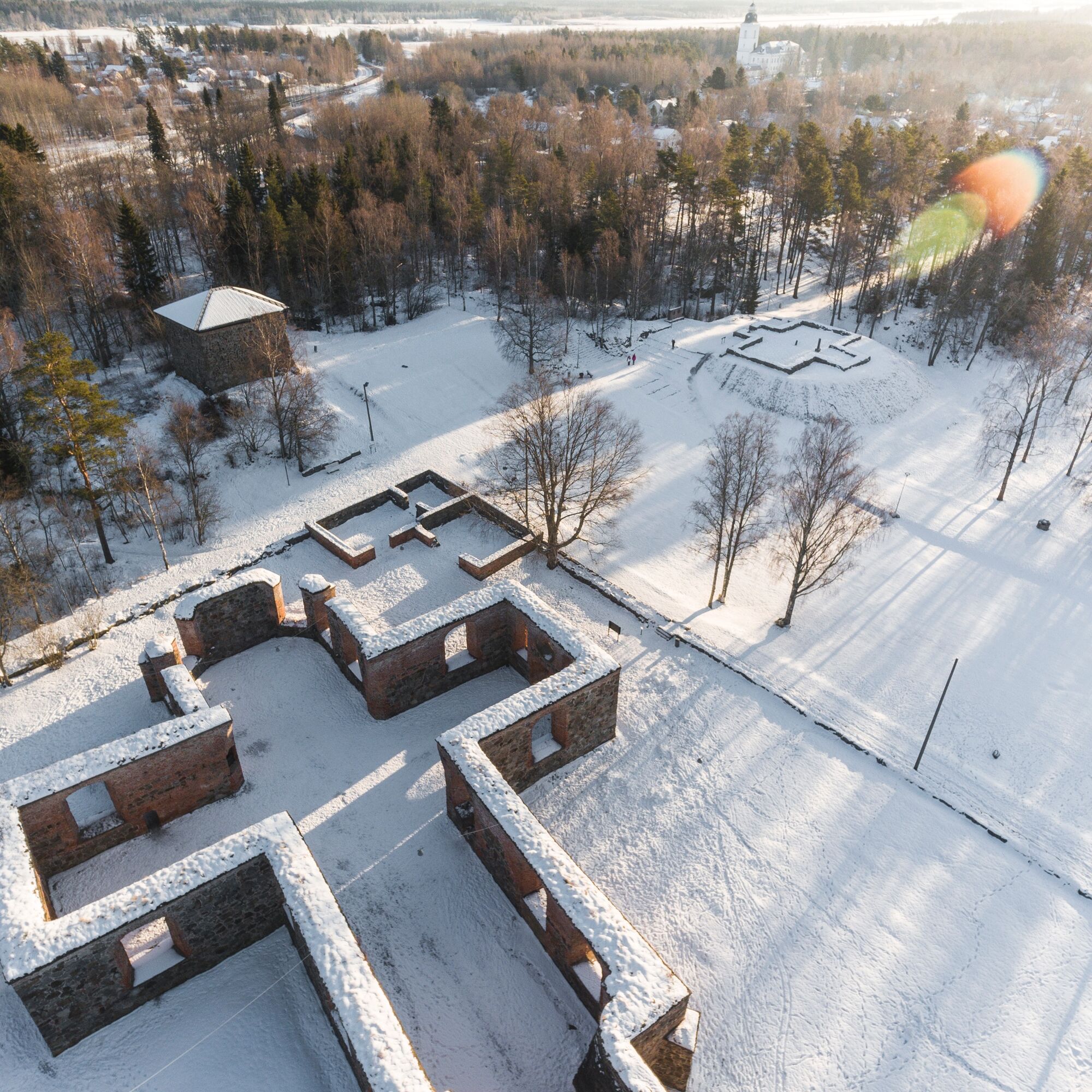
After 2.5 km along the Latokartanontie cycle path (asphalt), where you pass two service stations with restaurants, the path turns right to a gravel road towards Korsholm Castle Mound and Old Vaasa.
From Old Vaasa, the northern and southern parts of the pilgrimage trail follow a common route towards the city.
NOTE: after crossing the motorway, at about 13.5 km, the trail turns off to the right from the asphalt cycle and footpath. A few hundred metres further on you enter a forest path. After another 0.5 km you pass a rest area. The trail follows the Old Vaasa Canal towards the Suvilahti residential area and eventually follows the City Bay trail into the centre of Vaasa, the Trinity Church and the pilgrim centre.


Popularne wycieczki w okolicy
-
St Olav Ostrobothnia (N) 11/11, Veikars-Vasa
światłoTrasa pielgrzymki 21,8 km -
St Olav Ostrobothnia (S) 9/10, Malax-Solf
średniTrasa pielgrzymki 20,0 km -
St Olav Ostrobothnia (N) 10/11 Lillkyro-Veikars
Trasa pielgrzymki 19,0 km -
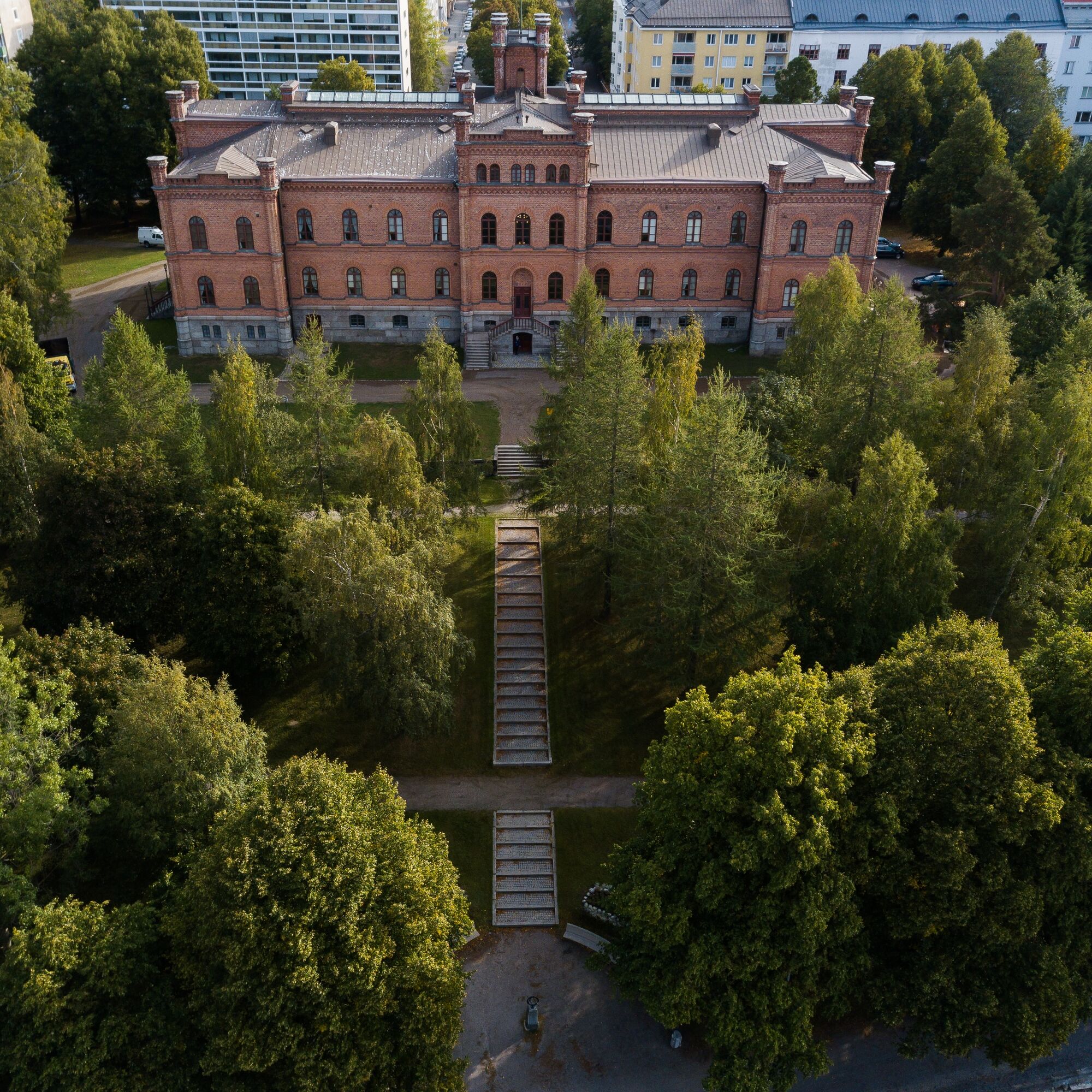
Vaasa
światłoTrasa tematyczna 4,50 km -
Tölby - Tallbacken - Solf - Fredrikas
średniWędrówka 14,4 km -
Vanha Satama - Risön lintutorni - Kuninkaankartano - ABC Vaasa
średniWędrówka 12,2 km -
Korsholm - Jungsund - Singsby - Karperö
średniWędrówka 12,6 km -
Gerby - Strömsö - Västervik
średniWędrówka 12,7 km -
Korsholm - Bockholmsbacken - Hattnötbacken - Höstvesi
średniWędrówka 12,8 km -
Karkmo - Smedisbacken - Toby - Stegarsbacken
średniWędrówka 14,2 km

Wędrówki i tropienie


Nie przegap ofert i inspiracji na następne wakacje
Twój adres e-mail została dodana do listy mailingowej.