







Cycling into the embrace of the mountains
Poziom trudności: 3
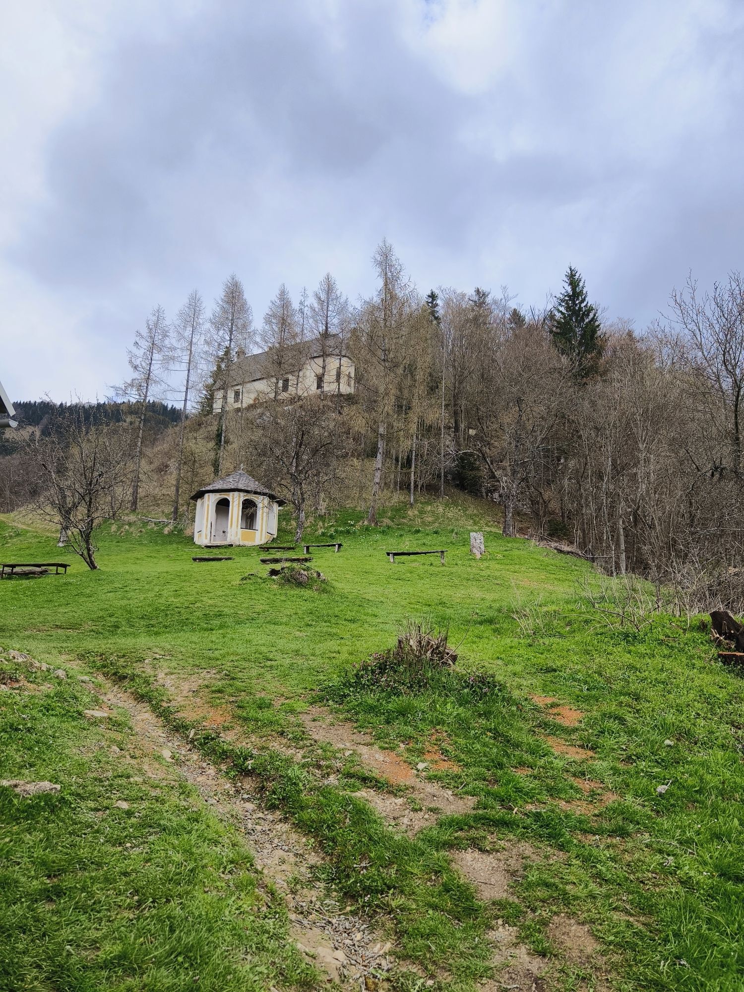
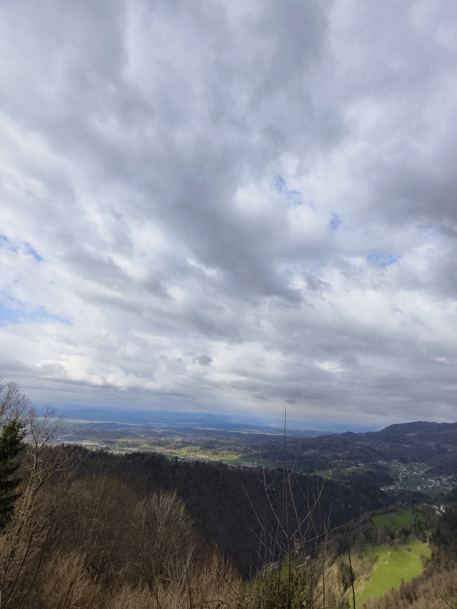
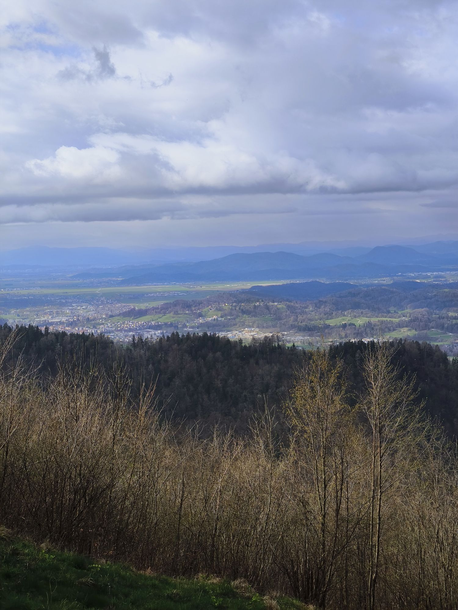
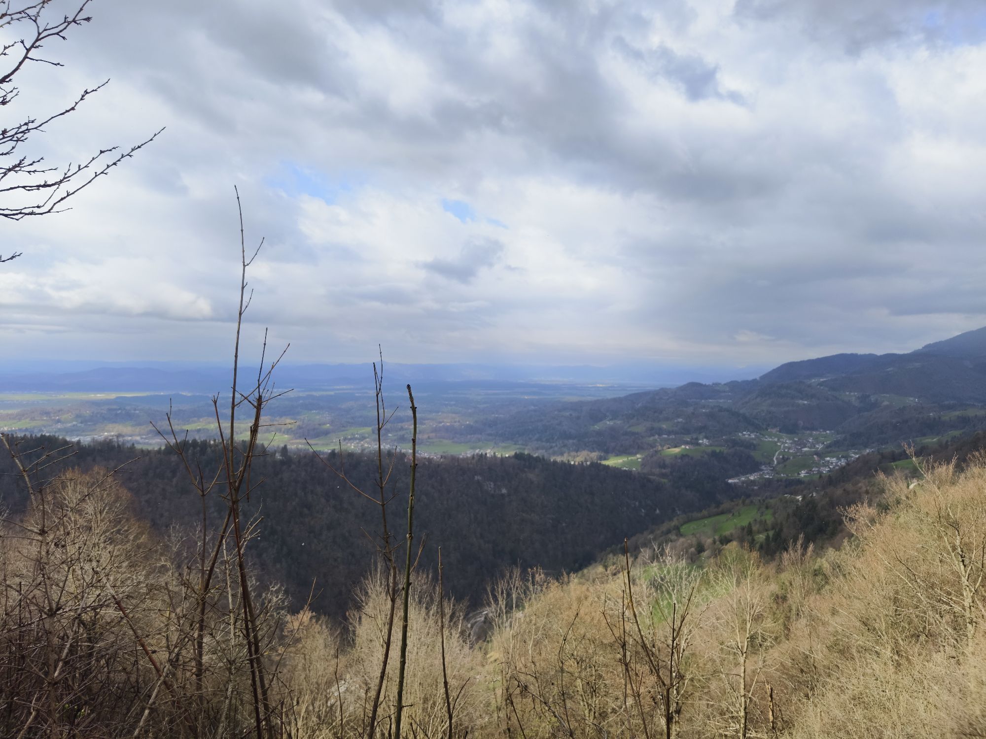
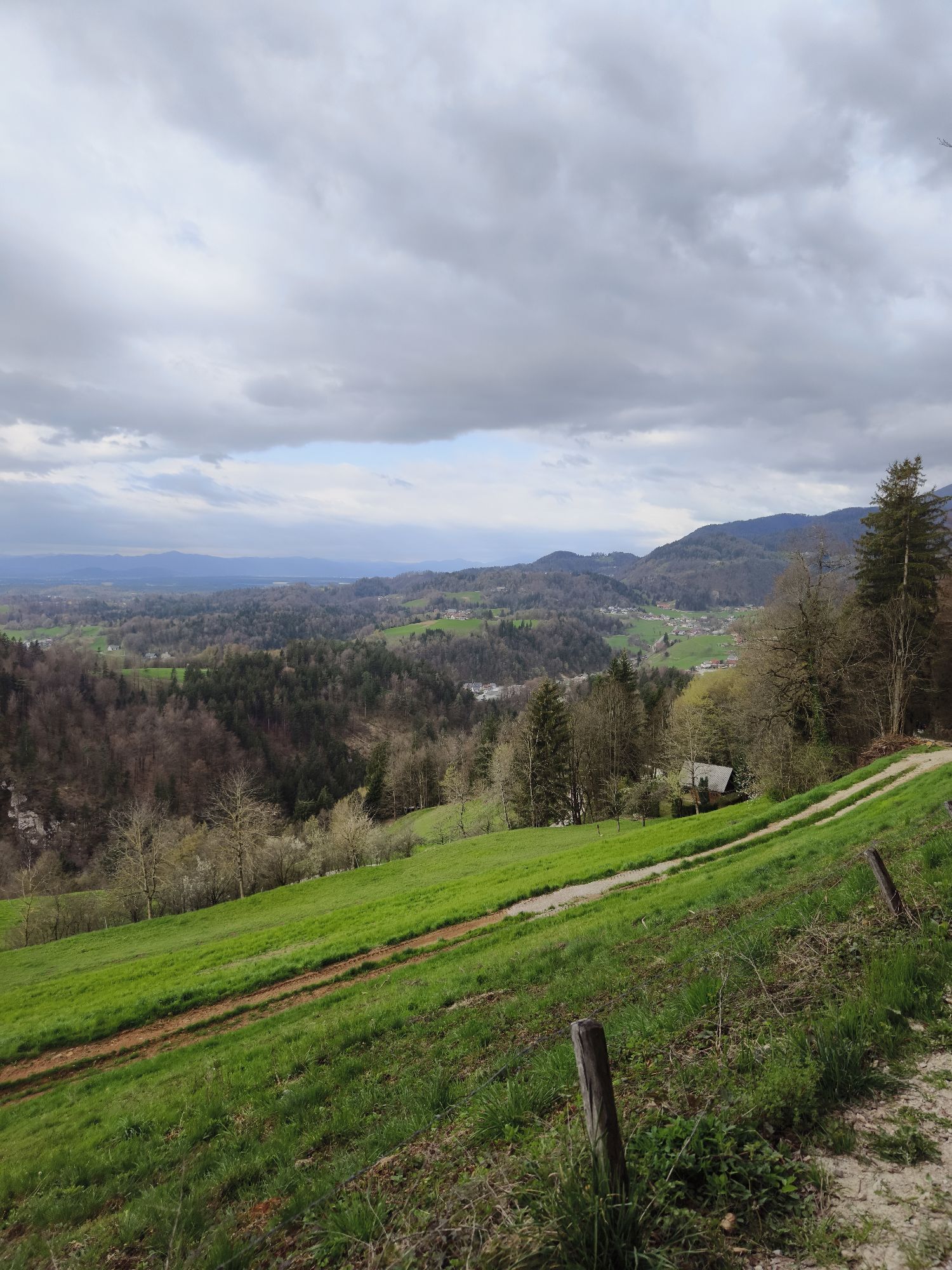
Discover one of the most popular cycling routes in the heart of the Kamnik-Savinja Alps! The journey begins in Kamnik and leads toward Velika Planina before immersing you in the stunning nature of Kamniška...
Discover one of the most popular cycling routes in the heart of the Kamnik-Savinja Alps! The journey begins in Kamnik and leads toward Velika Planina before immersing you in the stunning nature of Kamniška Bistrica, where most of the ride follows the crystal-clear river. A gentle yet steady ascent takes you through breathtaking mountain views and the shade of majestic trees, keeping the route enjoyable even for recreational cyclists.
Along the way, numerous natural landmarks invite you to pause— the lower cable car station for Velika Planina, the enchanting Orglice Waterfall, and the stunning Predaselj Gorge. The route culminates at the source of the Kamniška Bistrica River, where you can rest by the pure spring water and enjoy the tranquility of pristine nature.
For those seeking a true mountain adventure, an exciting detour through Brsniki or the Korošica Valley begins at the lower cable car station, offering a raw and immersive experience of the wilderness.


/
Tak
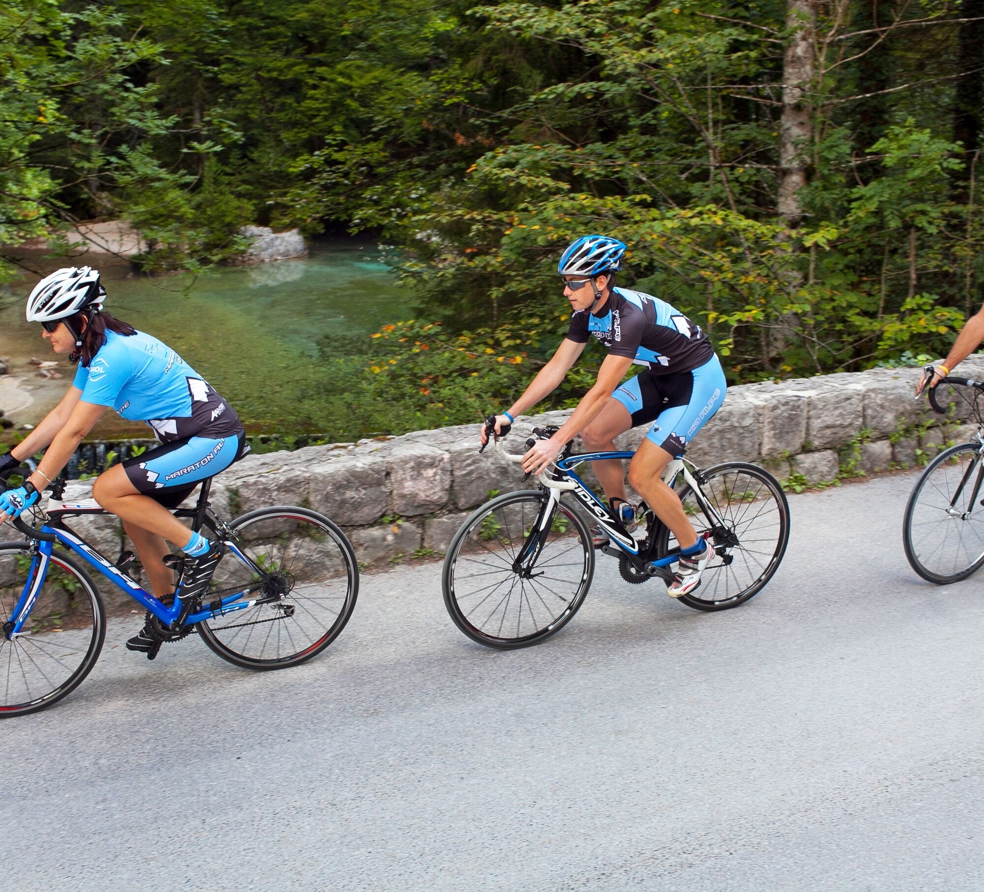
For comfortable and safe cycling, we recommend wearing a helmet, comfortable sportswear, cycling gloves, a well-maintained bike, a water bottle, sunglasses, and sun protection.
15 rules that cyclists must follow:
Be aware of traffic signs and obey them!
Do not ride under the influence of alcohol!
Prior to changing your riding direction, frequently look behind you and promptly and decisively indicate your intention.
Observe the right-of-way rules which apply to cyclists at crossroads, especially in locations marked as cycling paths.
Only ride on cycling paths and cycling lanes or routes. Always use only the area intended for cyclists (marked through traffic signs and ground marks). On such pavements ride in the right lane in the prescribed direction, and on two-way cycling paths ride on the right side of the path.
If no cycling path or lane exists, ride along the right side of the road in the direction of traffic as close to the curb as possible not more than a metre from the road curb).
At night and in conditions of reduced visibility, make sure the white illuminating light at the front of the bicycle is turned on and at the back, the red position light is turned on. A red reflector should also be installed at the back of the bicycle, while both pedals should have yellow or orange reflectors and the tyres, yellow or orange side reflectors.
When riding with a group of cyclists, ride one after the other.
Be particularly careful at crossroads and decisively indicate your direction using your hand and ensure that other road traffic participants have seen you. If the situation is unclear, it is best to dismount from your bicycle and cross the road on foot.
Use a bell to ensure that other road traffic participants, pedestrians and cyclists notice you more quickly.
At night, make sure you are even more visible (lights and reflectors are mandatory and light clothing is advised).
Transport possessions in a basket intended for this purpose or affixed to a rack. Keep your hands free for manoeuvring the bicycle and for indicating direction.
Never: let go of the handlebars, raise your feet from the pedals, manoeuvre, pull or push other vehicles, allow yourself to be pulled or pushed, transport items which could impede your riding or transport other persons except if otherwise defined by law.
Mandatory equipment for bicycles comprises: a bell, road illumination light, back light, rear red reflector, yellow reflectors on pedals, fully working back and front brakes and side reflectors.
Helmet: Cyclists under the age of 18 must wear a certified protective helmet while riding; the same applies to children who are passengers on a bicycle. It is recommended that adults also wear a helmet, although this is not mandatory.
The fastest way to reach Kamnik from Ljubljana by car is via the Gorenjska Highway (A2). Take the Domžale exit and then follow the signs towards Kamnik on the regional road (approximately 25 km, 30 minutes of driving).
Kamnik has excellent railway and bus connections to nearby towns and villages. Each day, there are approximately 60 bus connections to Ljubljana and 18 train connections (only on weekdays, except on public holidays).
BUS: Arriva
TRAIN: Slovenske železnice
/
3
Experience nature in a different way – on two wheels!
Experience nature in a different way – on two wheels!
Uzyskaj wgląd
Zawsze na żywo z ponad 9 500 kamer internetowych. bergfex Jako użytkownik Pro, możesz teraz zobaczyć odpowiednie kamery internetowe dla wielu wycieczek w aplikacji wycieczki od. Pozwala to na bezpośredni podgląd aktualnych warunków.
Aktywności na trasie
-

Stahovica, Slovenia
19.08.2026 – Jazda na rowerze -
Stahovica, Slovenia
08.08.2026 – Jazda na rowerze -
Stahovica, Slovenia
30.07.2026 – Jazda na rowerze -
Stahovica, Slovenia
20.07.2026 – Jazda na rowerze -
Stahovica, Slovenia
16.07.2026 – Mountainbike -
Stahovica, Slovenia
25.05.2026 – Mountainbike -
Stahovica, Slovenia
02.05.2026 – Mountainbike -
Stahovica, Slovenia
18.04.2026 – Mountainbike -
Stahovica, Slovenia
11.04.2026 – Mountainbike -

Kamnik Mountain Biking
17.07.2023 – Mountainbike -
Kamnik Kolesarjenje
19.09.2021 – Jazda na rowerze -
Kamnik Kolesarjenje
13.09.2021 – Jazda na rowerze -
Kamnik Kolesarjenje
30.06.2021 – Jazda na rowerze -
Kamnik Kolesarjenje
17.06.2021 – Jazda na rowerze -
Kamnik Gorsko kolesarstvo
23.02.2021 – Mountainbike -
Kamniška Birstrica Pr'Jurju
14.07.2019 – Jazda na rowerze
Popularne wycieczki w okolicy
-
4,6
Vom Seebergsattel auf den Kärntner Storschitz (Rundweg)
ciężkiWędrówka 8,30 km -
4,2
Krainersteig - Carinthian Storschitz
średniWędrówka 2,70 km -
4,6
Logarska dolina sa Minom, Borkom i Žakom
światłoWędrówka 9,59 km -
3,5
Bad Eisenkappel: Vellacher Kotschna
Wędrówka 12,1 km -
4,7
Via ferrata Češka koča
Via ferrata 2,10 km -
5,0
Grintovec
średniWędrówka 16,3 km -
5,0
Raduha
średniWędrówka 7,34 km -
5,0
Velika Planina
średniWędrówka 9,41 km -
4,6
Grintovec
ciężkiWędrówka 12,4 km -
4,5
Überquerung der Steiner Alpen mit Grintovec 2.558m, Dolgi hrbet 2.473m, Skuta 2.532m, Turska Gora 2.251m, Planjava 2.392m & Ojstrica 2.350m
średniVia ferrata 27,5 km

Wędrówki i tropienie


Nie przegap ofert i inspiracji na następne wakacje
Twój adres e-mail została dodana do listy mailingowej.





