
Le Carbonéral
ciężki
Pobierz tę trasę na swój telefon komórkowy
Le Carbonéral
ciężki
Wędrówka
18,34
km
Zeskanuj kod QR i rozpocznij nawigację w aplikacji bergfex.


Wędrówki i tropienie





Le Carbonéral
ciężki
Odległość
18,3
km
Czas trwania
05:15
h
Ascent
477
hm
Poziom morza
200 -
708
m
Ścieżka do pobrania
Le Carbonéral
ciężki
Wędrówka
18,34
km
Dense Montagne Noire
When the Autan wind (familiarly called the Marin) rises and sweeps across the Languedoc plain, it invariably hits a dark mountain barrier whose name leaves no doubt. The Montagne Noire,...
Opis
Dense Montagne Noire
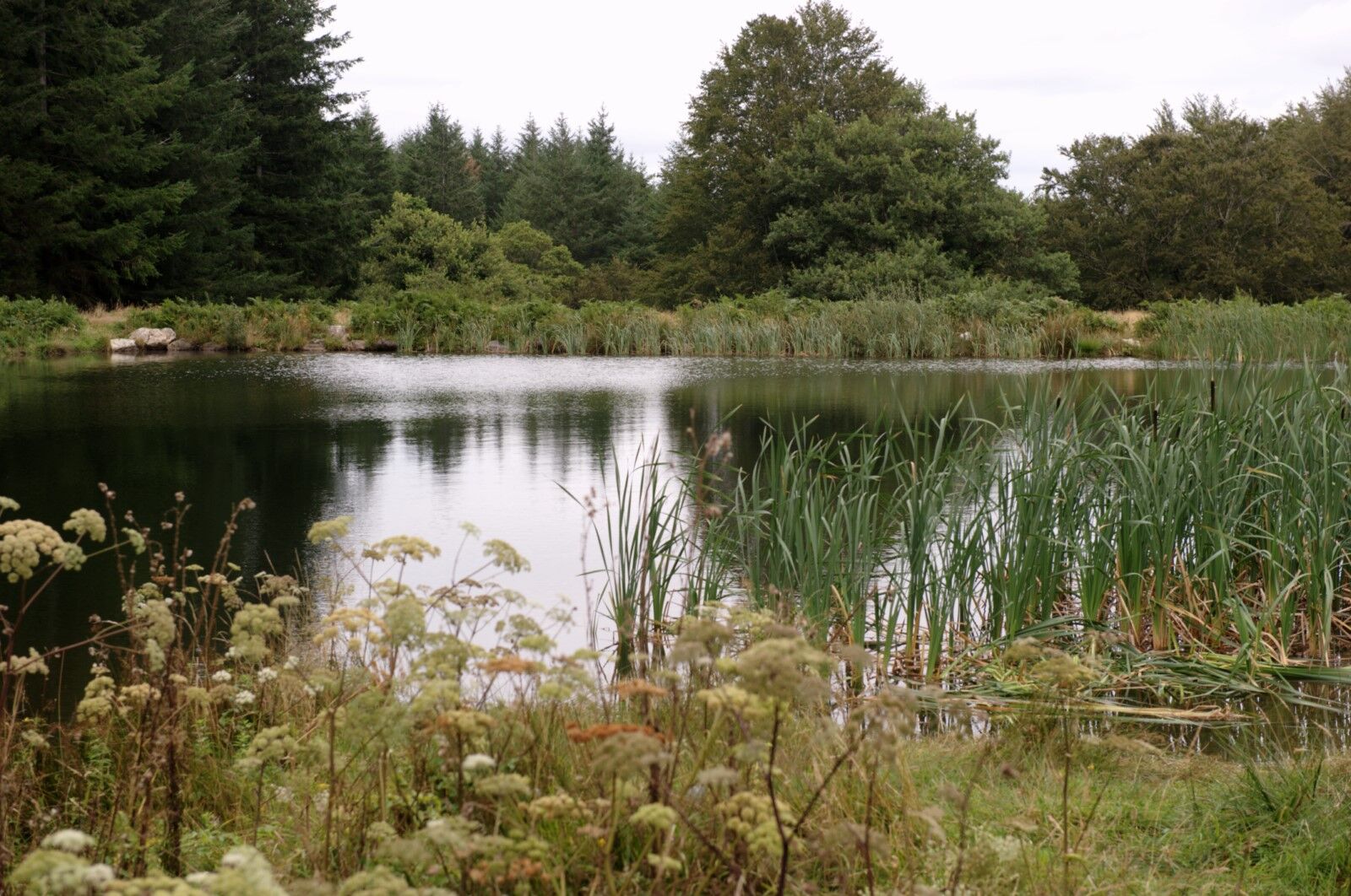
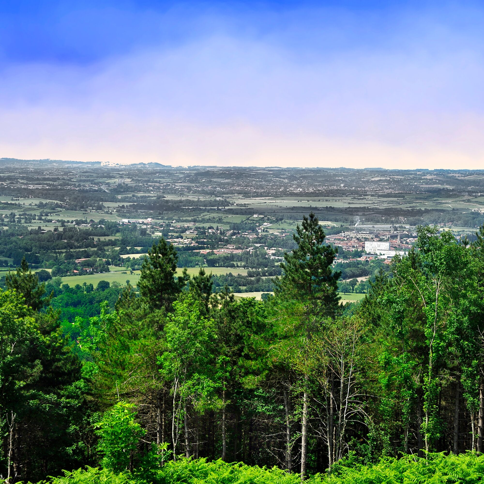
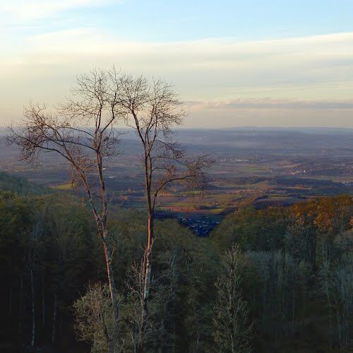
When the Autan wind (familiarly called the Marin) rises and sweeps across the Languedoc plain, it invariably hits a dark mountain barrier whose name leaves no doubt. The Montagne Noire, a mid-altitude mountain whose peak (Pic de Nore) rises to 1,211 m, a shady and dense forest massif, indeed represents a physical and climatic obstacle between the Atlantic and Mediterranean zones. The heavy clouds carried by the Autan fray upon the ridges of this southern end of the Massif Central. The Montagne Noire often appears as a backdrop to Tarn landscapes visible toward the south. Narrow and steep valleys provide access. Small causses open the first heights for some views over the plain. Then, it’s the forest, composed indifferently of conifers and deciduous trees. Deep and dense, it swallows and engulfs the relief. The softness of the peaks is composite: moors, forests, and meadows share the encounter with the sky.
Subtle traces of human presence
The sight of the lumberjack wielding the chainsaw all year round is only today's reality, where economic dictatorship leads man to behave indifferently. No more seasonal rhythms, sap rises and falls… Different times, different images. Under the cover of the Montagne Noire, formerly, man managed a marriage of reason with the forest. Marriages of charcoal burners, blacksmiths, and glassmakers notably. Then a shared life nourished by intelligent and reciprocal concessions, to the rhythm of springs and autumns, of the axe and the skeleton key, the transports and the neighing. Discreet before life, charcoal burners, blacksmiths, and glassmakers of the Montagne Noire have left few traces. The smoke from the charcoal kilns has dissipated. Glass fragments, slags, ruined walls, and old dams bear modest witness to intense and convivial activities. In 1826, a forge operated at the Prise d’Alzeau. Now, the spruce casts its shadow.
When the Autan wind (familiarly called the Marin) rises and sweeps across the Languedoc plain, it invariably hits a dark mountain barrier whose name leaves no doubt. The Montagne Noire, a mid-altitude mountain whose peak (Pic de Nore) rises to 1,211 m, a shady and dense forest massif, indeed represents a physical and climatic obstacle between the Atlantic and Mediterranean zones. The heavy clouds carried by the Autan fray upon the ridges of this southern end of the Massif Central. The Montagne Noire often appears as a backdrop to Tarn landscapes visible toward the south. Narrow and steep valleys provide access. Small causses open the first heights for some views over the plain. Then, it’s the forest, composed indifferently of conifers and deciduous trees. Deep and dense, it swallows and engulfs the relief. The softness of the peaks is composite: moors, forests, and meadows share the encounter with the sky.
Subtle traces of human presence
The sight of the lumberjack wielding the chainsaw all year round is only today's reality, where economic dictatorship leads man to behave indifferently. No more seasonal rhythms, sap rises and falls… Different times, different images. Under the cover of the Montagne Noire, formerly, man managed a marriage of reason with the forest. Marriages of charcoal burners, blacksmiths, and glassmakers notably. Then a shared life nourished by intelligent and reciprocal concessions, to the rhythm of springs and autumns, of the axe and the skeleton key, the transports and the neighing. Discreet before life, charcoal burners, blacksmiths, and glassmakers of the Montagne Noire have left few traces. The smoke from the charcoal kilns has dissipated. Glass fragments, slags, ruined walls, and old dams bear modest witness to intense and convivial activities. In 1826, a forge operated at the Prise d’Alzeau. Now, the spruce casts its shadow.
Trasa

Sprzęt
Clothing suitable for the season and conditions (cold, hot, humid…)
Hiking shoes adapted to the terrain (even for children!)
Hiking poles (useful for stability and to relieve joints)
Mobile phone and spare battery
Instrukcje bezpieczeństwa
Before leaving:
Check the general and local weather, ensuring no precipitation Gather information on the approach walk, route elevation, duration, possible escape routes (IGN map, GPS, guidebook, etc…) Assess possible risks by consulting mountain professionals, refuges, lodgings Inform a close person of your objective and contact them if anything changes: departure and return times, number of participants with each phone number, vehicle(s), parking Avoid going alone, use equipment suitable for the activity, adjusted and in good condition, headlamp, complete first aid kit, survival blanket, etc.In case of problem, call 112 (European emergency number)
Informacje o przyjeździe
Parking
Leisure center Domaine d'En Laure
Dodatkowe informacje i wskazówki
Dodatkowe informacje
APIDAE Tourism data updated on 08/05/2022 by "Tarn Tourisme".
An error on this file? Write to the owner referencing these details:
File name: Le Carbonéral | File ID: 851861 | URL (link) of this Outdooractive page.
An error on this file? Write to the owner referencing these details:
File name: Le Carbonéral | File ID: 851861 | URL (link) of this Outdooractive page.
Nie ma jeszcze recenzji
Popularne wycieczki w okolicy
- 5,0
Les Escaunelles
światłoWędrówka 6,87 km La Capelette de Saint-Ferréol
ciężkiWędrówka 10,8 kmAu fil de l'Eau 6,5km / 2h30
ciężkiWędrówka 6,45 kmSentier Randonnée du Patrimoine 13km / 3h30
światłoWędrówka 13,0 kmGR7® Montagne Noire
ciężkiWędrówka 73,5 kmGR®653: The Arles Route to Santiago de Compostela
ciężkiWędrówka 83,1 kmLe Puech d'en Blanc 15km / 4h30
ciężkiWędrówka 14,7 kmTour du Tarn à cheval : Peyremaux / Mazamet
ciężkiJazda konna 25,4 kmLe sentier des trois ruisseaux
światłoWędrówka 13,0 kmCycling Circuit - C12 The routes of Laurent Jalabert
ciężkiDroga rowerowa 78,2 km

Wędrówki i tropienie

Ponad 550.000 propozycji wycieczek, szczegółowe mapy i intuicyjny planer tras sprawiają, że aplikacja jest niezbędna dla wszystkich entuzjastów przyrody.

Nie przegap ofert i inspiracji na następne wakacje
Zapisz się do newslettera
Błąd
Wystąpił błąd. Spróbuj ponownie.Dziękujemy za rejestrację
Twój adres e-mail została dodana do listy mailingowej.
Wycieczki po całej Europie
Austria Szwajcaria Niemcy Włochy Słowenię Francja Holandia Belgia Polska Liechtenstein Czechy Słowacja Hiszpania Chorwacja Bośnia i Hercegowina Luksemburg Andorra Portugalia Islandia Wielka Brytania Irlandia Grecja Albania Macedonia Północna Malta Norwegia Czarnogóra Mołdawia Kosowo Węgry San Marino Rumunia Estonia Łotwa Białoruś Cypr Litwa Serbia Bułgaria Monako Dania Szwecja Finlandia





