







Sentier des coteaux
Cestayrols is a charming little medieval village wrapped around its St-Michel church.
2.5 km from Cestayrols (on the circuit), at the place called Roumanou, you will find the St-Etienne chapel, one of the...
2.5 km from Cestayrols (on the circuit), at the place called Roumanou, you will find the St-Etienne chapel, one of the few examples of Romanesque architecture in the area

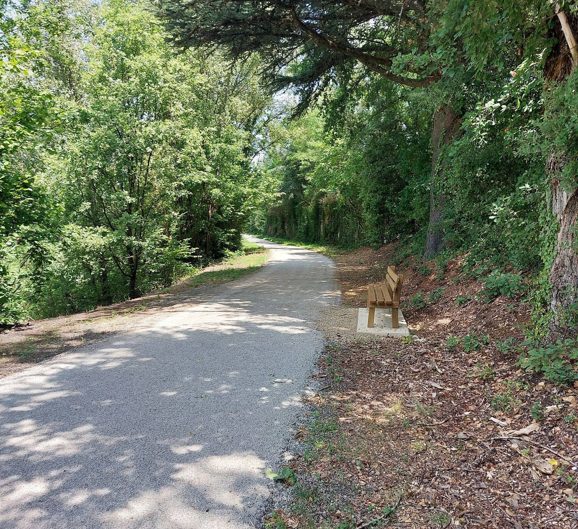
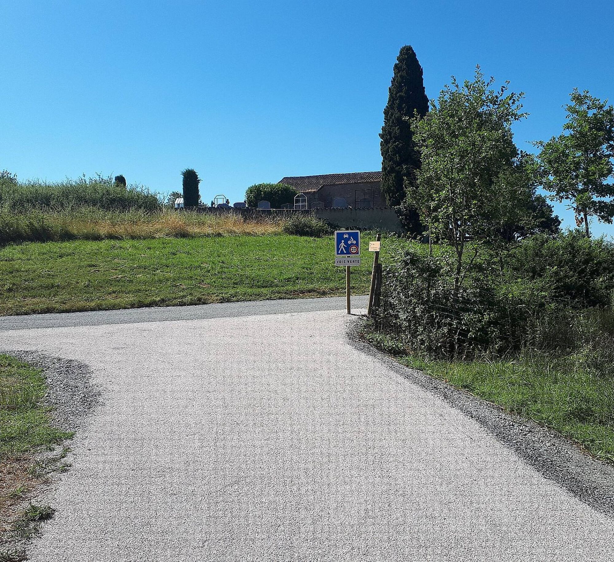
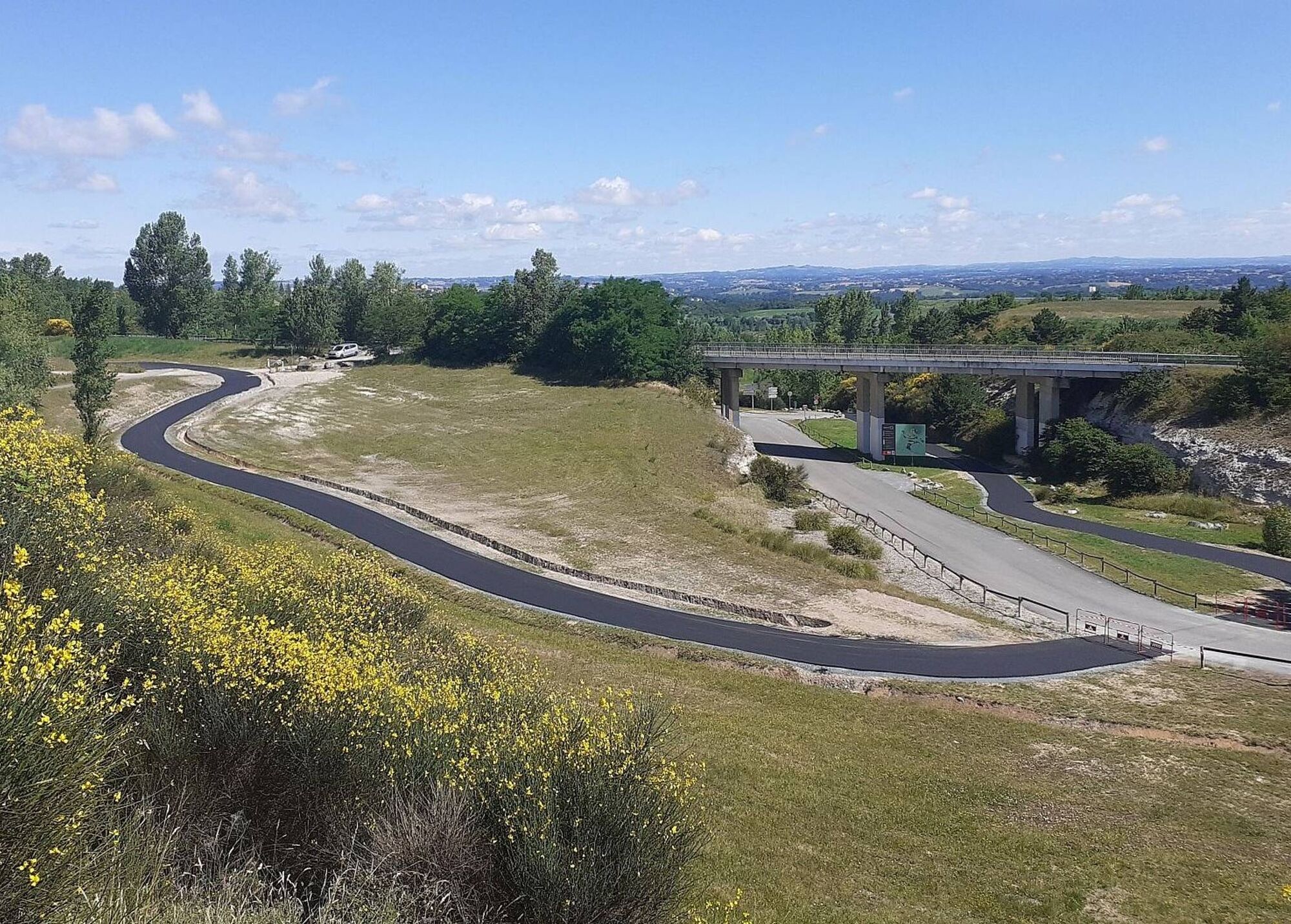

1. At the starting sign, on the village square, go straight up a small street, then turn right. Take a path winding through oaks and boxwood. Cross the D3 and continue straight on a stony path. About 1 km further, at a path intersection, climb right onto a grassy path and reach a fork.
2. Go right and continue straight. Arrive at a crossroads. Turn left onto a grassy path passing through fields. Cross the D3 again and take the road opposite. Leave the Théron road on your right and reach a bend. Take the path on the right; it leads to an intersection.
3. Go left until a fork.
4. Continue straight towards Lincarque. The path leads to the D1. Turn left towards Lincarque. -> Opportunity to visit the church
5. Take the road to the right until the Mas de Caussé (farmhouse). At the Mas, hairpin left and continue straight on a path along the edge of fields to reach La Couliche. At the hamlet's exit, go left and descend along a field to the road, which you follow straight for about 200 meters.
6. Turn right to climb under bushes. Emerge onto the D1, which you cross to climb straight up a grassy path.
7. At the crossroads, turn left.
8. Follow the grassy path straight. Pass a dovecote. At the road, turn left towards Théron. Before a large house at the end of the road, take a path to the left. Pass a washhouse and return to Cestayrols.
Popularne wycieczki w okolicy
-
5,0
Chemin de la Vère au Saint-Hussou
średniWędrówka 14,2 km -
Maraval Trail - Short Variant
średniWędrówka 5,02 km -
Bike Route - C3 From Sainte Cécile to the Gaillac vineyard
światłoDroga rowerowa 38,6 km -
Sentier des dunes de Maraval aux Touardes
średniWędrówka 8,57 km -
Grain of salt path (Chemin du grain de sel)
średniWędrówka 10,8 km -
Sentier de découverte de Les Cabannes "Sur les traces des bâtisseurs"
światłoWędrówka 2,63 km -
Conques Toulouse route - From Saint-Martin-Laguépie to Saint-Sulpice-la-Pointe
średniWędrówka 84,3 km -
Vignoble et châteaux
ciężkiWędrówka 17,4 km -
GR46 ® - The Bastides of Albi
ciężkiWędrówka 114,3 km -
Téroundel path (Sentier du Téroundel)
światłoWędrówka 2,58 km
Wędrówki i tropienie


Nie przegap ofert i inspiracji na następne wakacje
Twój adres e-mail została dodana do listy mailingowej.





