






Le chemin du Pastel
To discover:
Château de Magrin
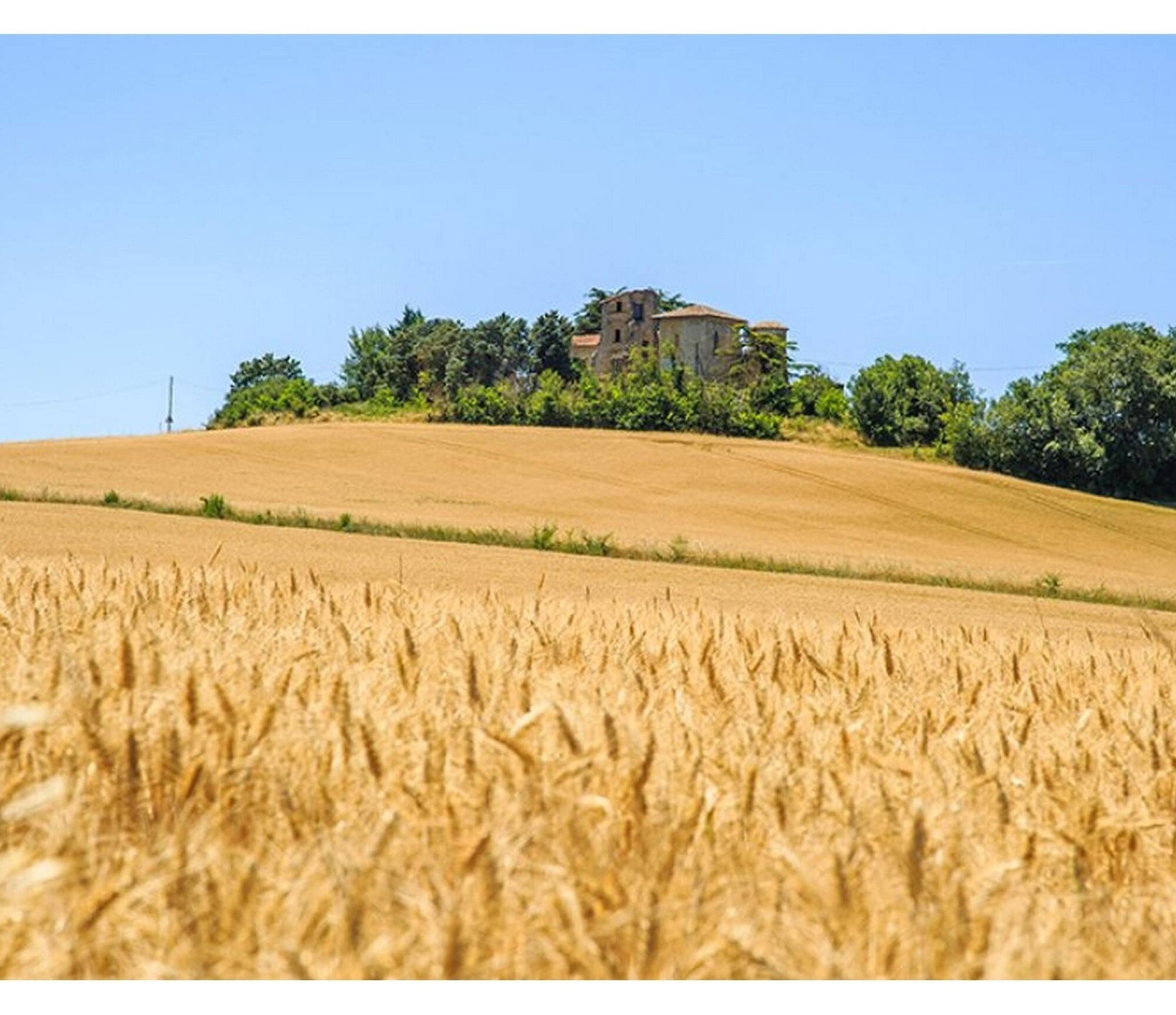
The Château de Magrin, a monument from the 11th, 16th and 18th centuries (listed as a historical monument). Henry IV took refuge there in 1585…
+ info: www.pastel-chateau-musee.com...
Château de Magrin
The Château de Magrin, a monument from the 11th, 16th and 18th centuries (listed as a historical monument). Henry IV took refuge there in 1585…
+ info: www.pastel-chateau-musee.com / 05 63 70 63 82
The so-called Roman road
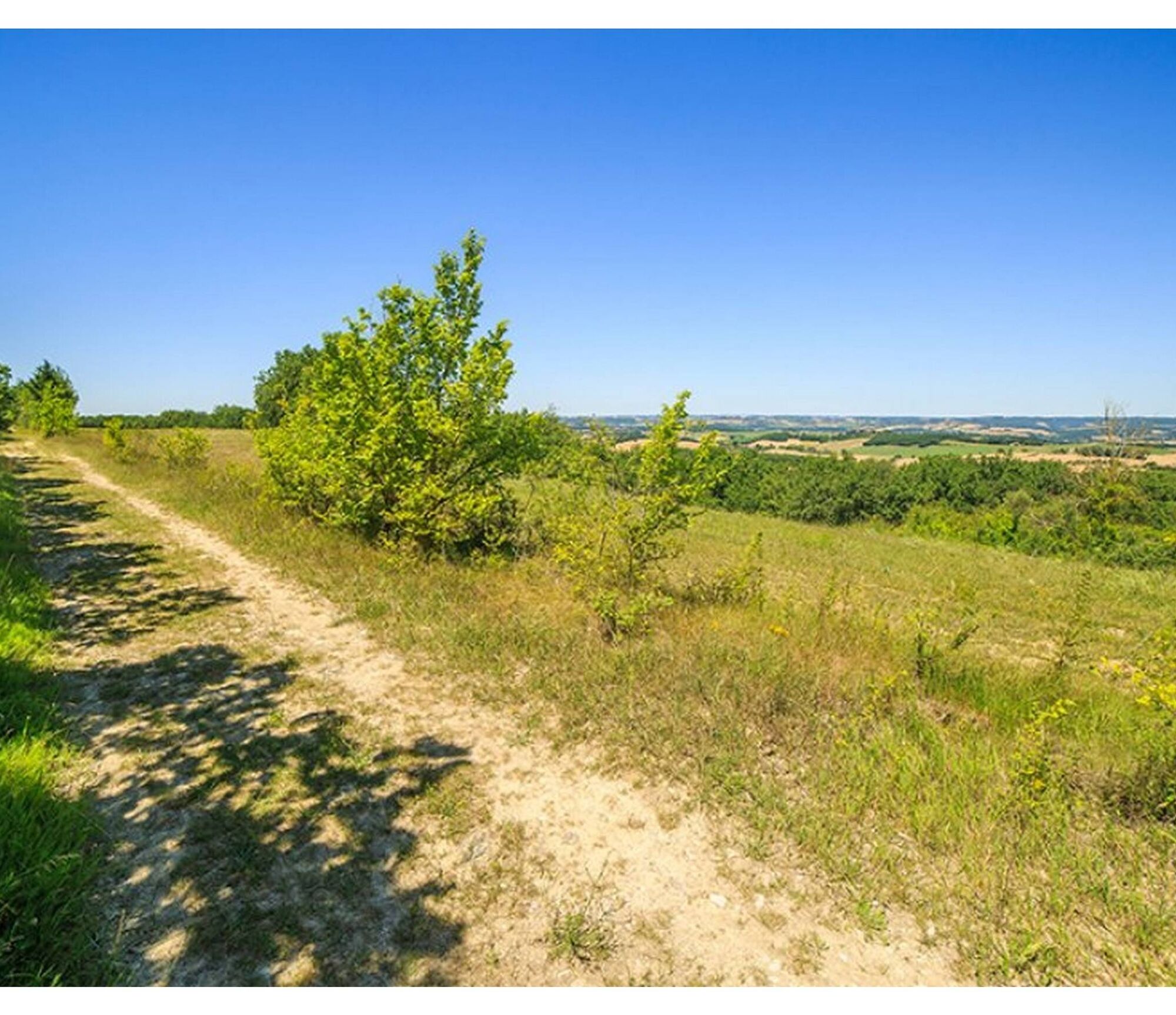
This ancient ridge road between Puylaurens and Lavaur is dotted with medieval sites (mounds, underground shelters, silos, etc.). From the 14th to the 18th century, the presence of a bishop in the Diocese of Lavaur made it necessary to build an episcopal road to go to Montpellier and Aix. It also allowed the collection of the cult tax from each of its parishes…
+ info: Association of the Roman road: Mairie de Massac-Séran (81500) / 05 63 58 66 55
Environment / Sweetness of Cocagne…
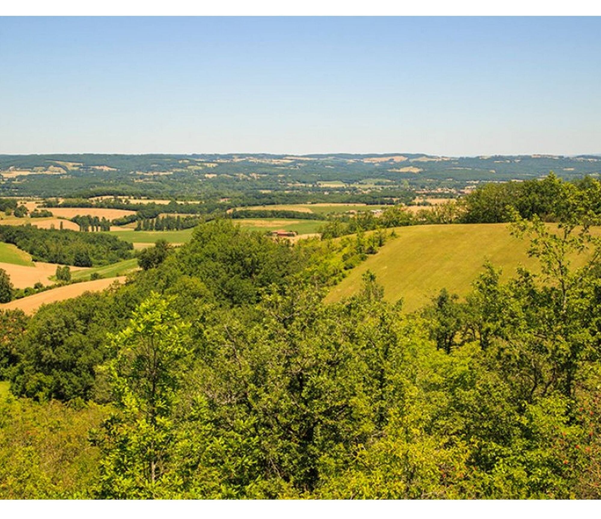
In a continuous flow, hills follow hills… A hair of streams irrigates the valleys, oak groves highlight the heights with gravelly terrain. Here, a terroir of Aquitaine molasses asserts itself… marl, clay, sandstone, limestone, silt.
Vegetation
Downy oaks, juniper, lavender, the cone-bearing leuzea, orchids….

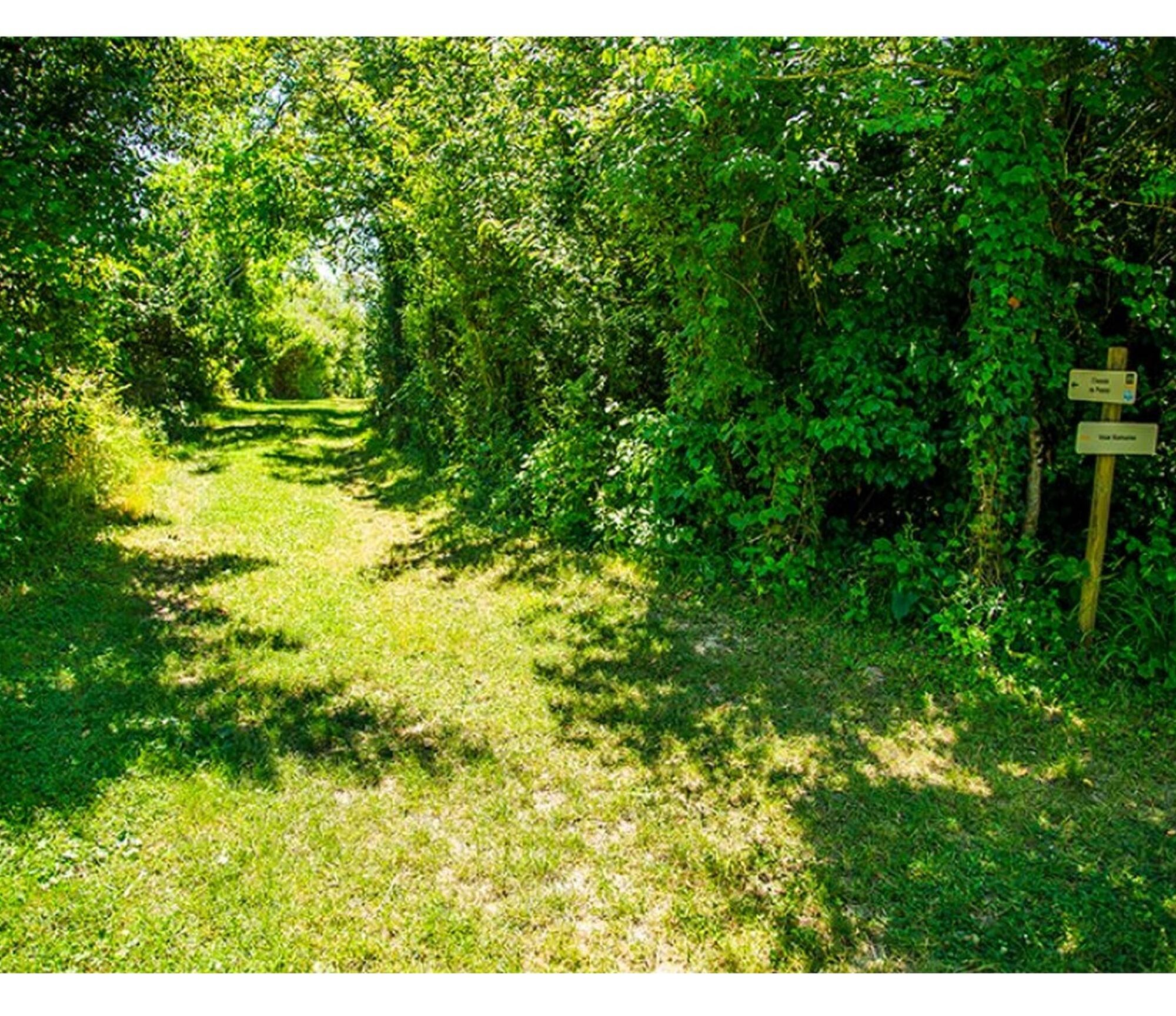
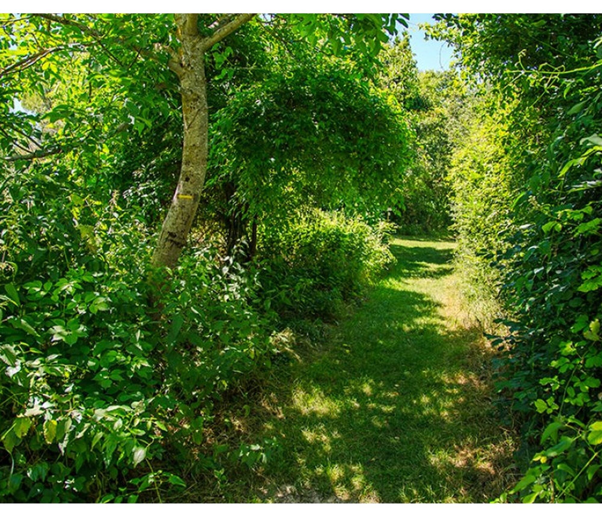

1. Take the road (Roman road) towards Bolo Guiraud. It becomes a path and leads to La Serre.
2. At La Serre, leave the Roman road, go left and go along the buildings.
3. Take the road on the right to access the Magrin castle.
4. At the household waste bins, take the path on the right. Stay on this path and go along the En-Jamou property.
5. Take the track on the right (Roman road) towards Verdier-Haut.
6. Continue along the path that goes around the reservoir and return along the track.
Easy
Popularne wycieczki w okolicy
-
Woad Path
światłoWędrówka 6,84 km -
Le circuit du pas du Loup
światłoWędrówka 9,89 km -
La voie romaine
ciężkiWędrówka 28,5 km -
Le chemin de l'eau
światłoWędrówka 9,16 km -
Oenorando® La Birado
światłoWędrówka 7,76 km -
Le circuit des Devèzes
światłoWędrówka 9,99 km -
Le circuit boisé de la Capelle
ciężkiWędrówka 18,6 km -
5,0
Sentier des crêtes
średniWędrówka 11,3 km -
Le sentier de Saint-Sébastien
średniWędrówka 12,3 km -
Le circuit des plateaux
światłoWędrówka 13,5 km
Wędrówki i tropienie


Nie przegap ofert i inspiracji na następne wakacje
Twój adres e-mail została dodana do listy mailingowej.





