







Oenorando® La Birado

A UNIQUE VINEYARD
We are here in the heart of the “Côtes du Tarn – Cabanès” Protected Geographical Indication (PGI), which also includes the municipalities of Briatexte and Graulhet. A small area nestled...
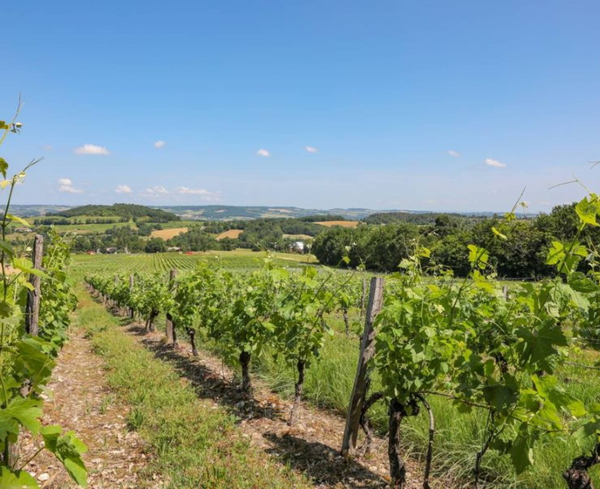
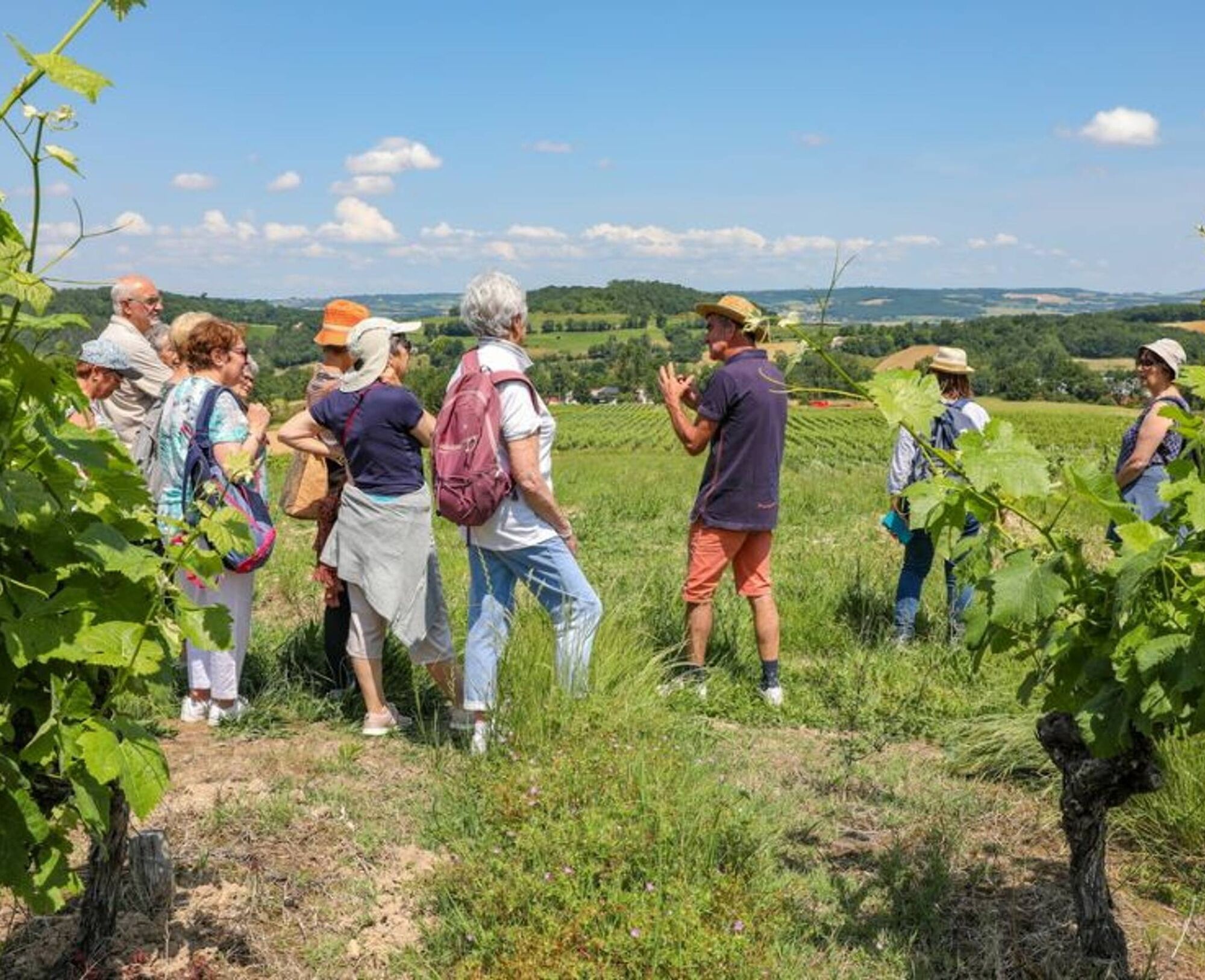
We are here in the heart of the “Côtes du Tarn – Cabanès” Protected Geographical Indication (PGI), which also includes the municipalities of Briatexte and Graulhet. A small area nestled in the southern part of the department, the Cabanès terroir—at the end of the 19th century—had two-thirds of its arable land devoted to vineyards, with 500 hectares producing wines renowned for their quality. The hillsides of Cabanès were home to many independent winemakers, and the remains of cellars and winemaking infrastructure are abundant. Today, a single independent winemaker carries on this tradition on a vineyard that, while much smaller in size, is considered a precious relic.
This vineyard derives its uniqueness both from its geographic location in the southern part of the department and from the nature of its soil, which is found nowhere else in the Gaillac appellation. Its climate differs from that of the nearby Gaillac region in that the moderating influence of the ocean is less pronounced, giving way to distinct climatic influences, notably the dry, hot Autan wind, similar to the conditions found in the hills of southern Tarn and the Castrais region.
THE GAILLAC VINEYARD
The soil, composed of colluvial deposits and Quaternary slope deposits, is very rich in pebbles, whose physical effects are well known: they promote the accumulation of heat during the day and its release at night, thereby ensuring good drainage and helping to regulate the water supply necessary for the healthy development of the vines.


1. From the parking lot, take the small road toward Cabanès. After about 400 meters, turn left onto the Route des Lacs; follow it for 500 meters. Turn right onto the Chemin du Pigeonnier and then immediately left in front of the property gate.
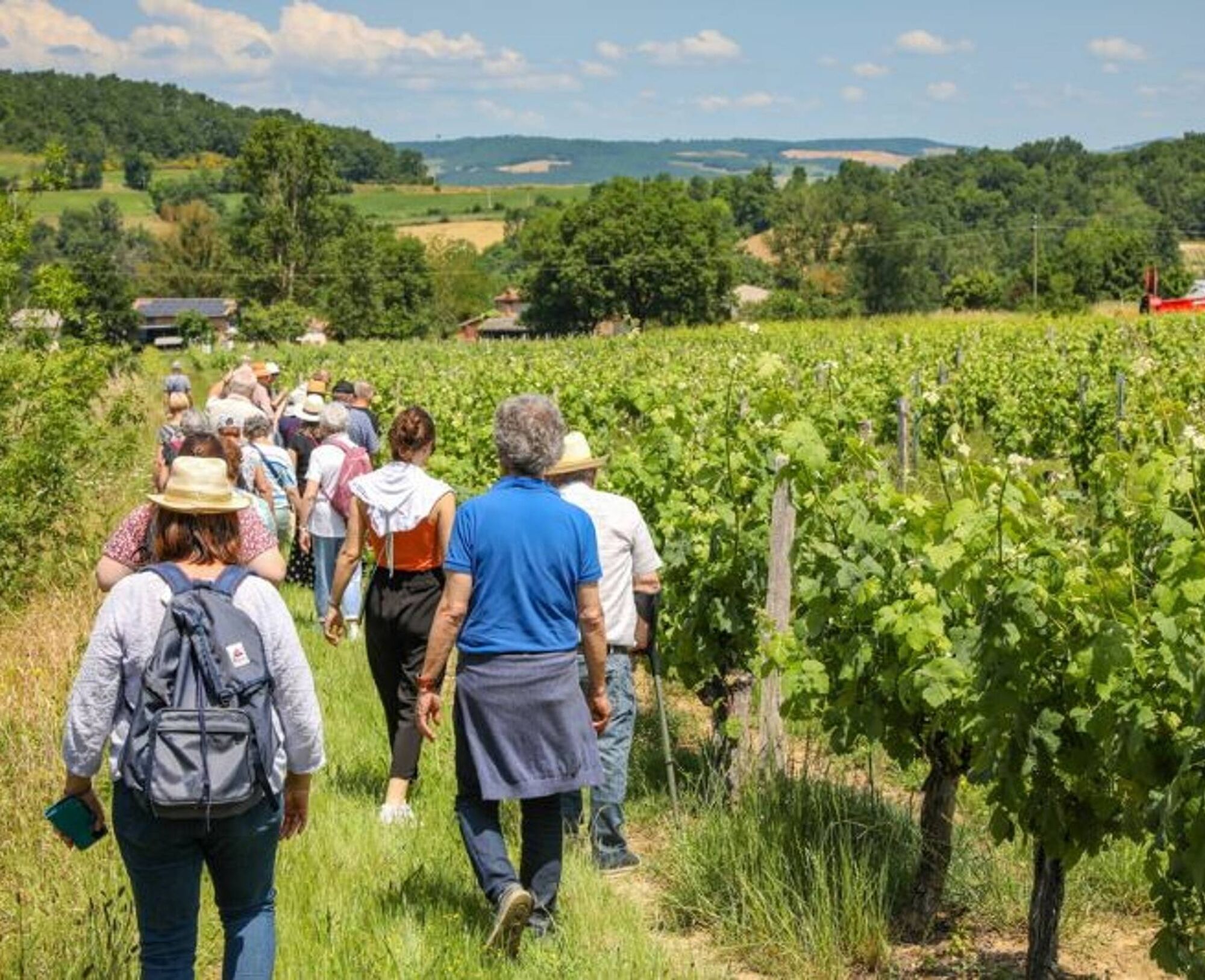
2. Walk up through the vineyards, skirt the woods, and reach the small road near Pagèses. At En Durand, continue on the path that enters the woods and then runs along the fields until you reach the Route de Lourmet.
3. Here, you can take a short detour (4 km) by turning left onto the road. Instead, turn right. After Le Soulas, turn left toward Cante Merle.
4. After Cante Merle, take the trail on the left to En Soury. Continue straight ahead, cross the woods, and reach the road intersection near the orchards.
5. Turn onto the road on the left. After about 500 meters, turn right between the woods and the vineyards. Continue until you reach a small overlook offering a beautiful panoramic view of the vineyard.
6. Enjoy the scenery, then head back down through the vineyards to return to the starting point.
Easy
Popularne wycieczki w okolicy
-
5,0
Sentier des crêtes
średniWędrówka 11,3 km -
Le circuit du pas du Loup
światłoWędrówka 9,89 km -
Ridge Loop
światłoWędrówka 5,69 km -
La voie romaine
ciężkiWędrówka 28,5 km -
5,0
Three Lakes Trail - Sentier des trois lacs
światłoWędrówka 8,22 km -
Le chemin de l'eau
światłoWędrówka 9,16 km -
Sentier urbain de Lavaur
światłoWędrówka 2,58 km -
Le circuit des Devèzes
światłoWędrówka 9,99 km -
Le circuit boisé de la Capelle
ciężkiWędrówka 18,6 km -
Sentiers de clochers
średniWędrówka 10,4 km

Wędrówki i tropienie


Nie przegap ofert i inspiracji na następne wakacje
Twój adres e-mail została dodana do listy mailingowej.





