






Boucle de Bertre
After the Dretchenc district and before taking the so-called Roman Way for a few hours, the gaze falls on the rounded, often blue-tinged mountains of the Montagne Noire. The old "Roman road from Cahors...
After the Dretchenc district and before taking the so-called Roman Way for a few hours, the gaze falls on the rounded, often blue-tinged mountains of the Montagne Noire. The old "Roman road from Cahors to Béziers" as mentioned in old land registers, was regularly followed in the 19th century, to travel from Lavaur to Puylaurens. Even today, this ancient "camin viel", Roman, episcopal or royal, leads us into a hilly countryside where groves and undergrowth alternate, plowed or sown fields, to discover vast panoramas. Sometimes, it is a completely different landscape that surprises the hiker. In spring, the Causse de Bertre is the kingdom of gladioli, broom, messicole plants, many species of orchids, but also that of blackbirds, thrushes, warblers flying from the holm oaks and junipers. To the west, stands the silhouette of the Château de Magrin, now a pastel museum. Its presence recalls the role that this cruciferous plant played in these regions and throughout Languedoc before the Route des Indes made indigo known. From 1462 to 1562, this wild dye plant made this region a land of cockles, "cocanhas" in Occitan, an expression that remains a symbol of abundance and the good life. We leave this Mediterranean vegetation to go down towards the hamlet of Bertre, nestled in a lowland. A powerful bell tower-wall marks the late Gothic church. It is between hillsides and ridges that the return to Puylaurens gradually begins, in the middle of welcoming nature and panoramic viewpoints from the Cévennes to the Pyrenees mountain range.

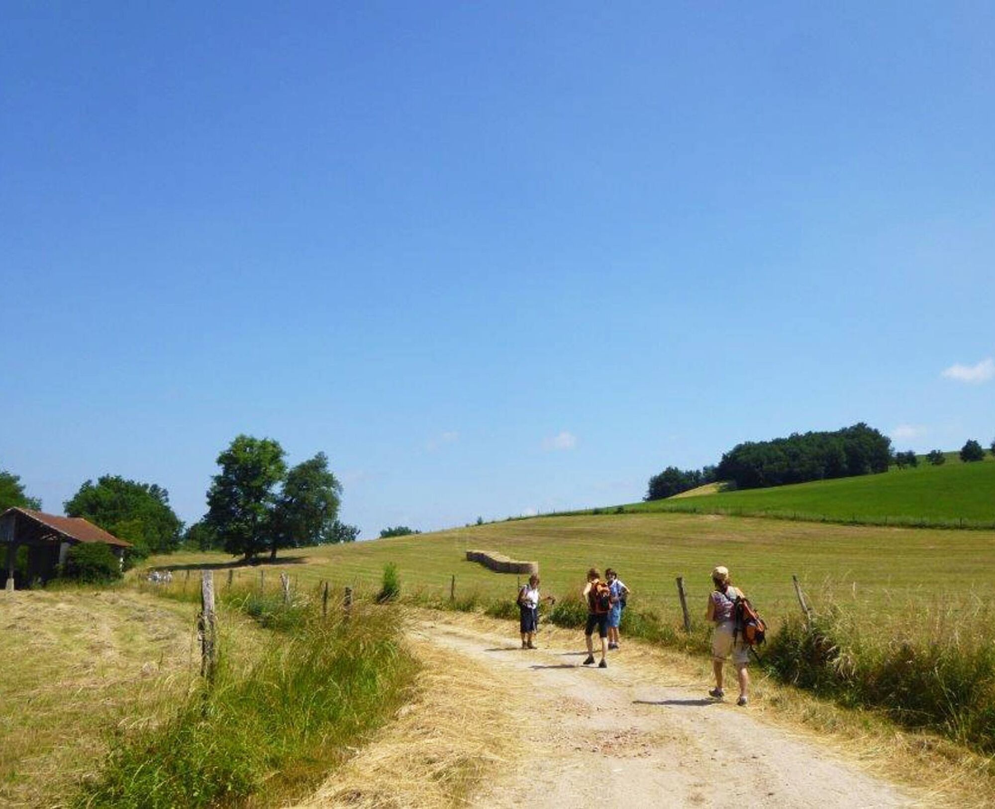

1. Before the bottom of the Foulimou bridge, turn right then left to head towards Graulhet then Rue des Moulins: on the left, look at the old windmills. Continue on the tarmac road which bends to the right. Continue until the start of the so-called Roman Road.
2. Turn right to go down to the bottom of the valley. Follow the left bank of a stream. At the ruined cabin, change banks by crossing two culverts and follow the stream. In a straight line, change banks again. Climb the steep slope opposite, turn left, follow the edge of the field and the right bank of the stream.
3. Take the tarmac road on the left for about a hundred meters, continue on the grassy path, go around the pond then turn right immediately afterwards. Pass near a farm shed, follow the tree-lined path and climb through the fields. At the top of the hill, turn left and continue climbing. At the next crossroads, go straight ahead, leaving the Surinam path on the right: Beautiful viewpoint. Cross the hill. When you reach the tarmac road, turn right. After the first building of the En Banquet farm, the path goes down to the right and goes back up towards the house of La Peyre. Take the tarmac road on the right to the next crossroads.
4. Turn left and take the dirt road to the top of the hill. Continue on the flat area, look for a landscaped table, located on the right, at the level of a partially buried reservoir. Leave the so-called Roman Way, to take the direction of Bertre on the left.
5. Go down the path to the D12 PUYLAURENS-LAVAUR. Turn right then, further on, turn left after the bridge, towards Algans and shortly after, left again towards Appelle. Go along the Church of Bertre and its cemetery. In the hamlet of En Courlet, leave the tarmac road and take a grassy path opposite that climbs up to the Lacroisille road.
6. Continue on this road towards Puylaurens until reaching the D12. After 150 metres, turn left then right, leaving the Mirabel property on the left. Continue straight on to return to Puylaurens via Rue des Moulins.
Intermediate
Popularne wycieczki w okolicy
-
Woad Path
światłoWędrówka 6,84 km -
Le circuit du pas du Loup
światłoWędrówka 9,89 km -
La voie romaine
ciężkiWędrówka 28,5 km -
Le chemin de l'eau
światłoWędrówka 9,16 km -
Oenorando® La Birado
światłoWędrówka 7,76 km -
Le circuit des Devèzes
światłoWędrówka 9,99 km -
Le circuit boisé de la Capelle
ciężkiWędrówka 18,6 km -
La boucle de l'Agout à Fréjeville
światłoWędrówka 14,6 km -
Le chemin des oiseaux
światłoWędrówka 5,65 km -
Le sentier de Saint-Sébastien
średniWędrówka 12,3 km
Wędrówki i tropienie


Nie przegap ofert i inspiracji na następne wakacje
Twój adres e-mail została dodana do listy mailingowej.





