
Chemin de la Transhumance Plateau de Beille - Val d'Incles
ciężki
Pobierz tę trasę na swój telefon komórkowy
Chemin de la Transhumance Plateau de Beille - Val d'Incles
ciężki
Wędrówka
37,15
km
Zeskanuj kod QR i rozpocznij nawigację w aplikacji bergfex.


Wędrówki i tropienie





Chemin de la Transhumance Plateau de Beille - Val d'Incles
ciężki
Odległość
37,2
km
Czas trwania
05:00
h
Ascent
1 973
hm
Poziom morza
1 837 -
2 436
m

Nawiguj po trasie w aplikacji
Zainstaluj aplikację za darmo i śledź trasę dzięki nawigacji GPS i funkcji śledzenia.
Skorzystaj już teraz z funkcji „ bergfex ” w aplikacji
Zeskanuj kod QR za pomocą aparatu
Po zainstalowaniu aplikacji treść otworzy się od razu. Jeśli jeszcze nie masz tej aplikacji, zostaniesz przekierowany do strony, z której możesz ją bezpłatnie pobrać.
Poziom trudności: T2
Ścieżka do pobrania
Chemin de la Transhumance Plateau de Beille - Val d'Incles
ciężki
Wędrówka
37,15
km
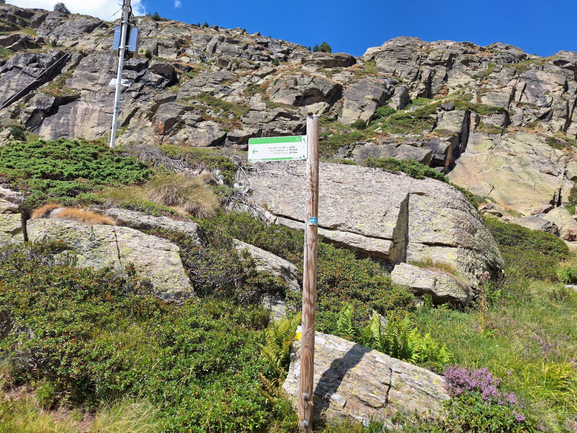
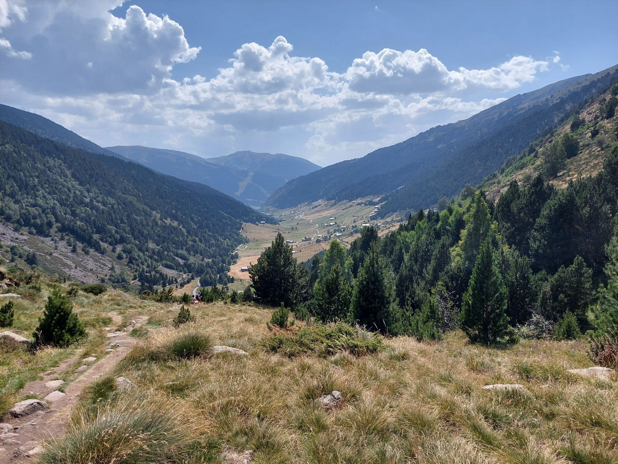
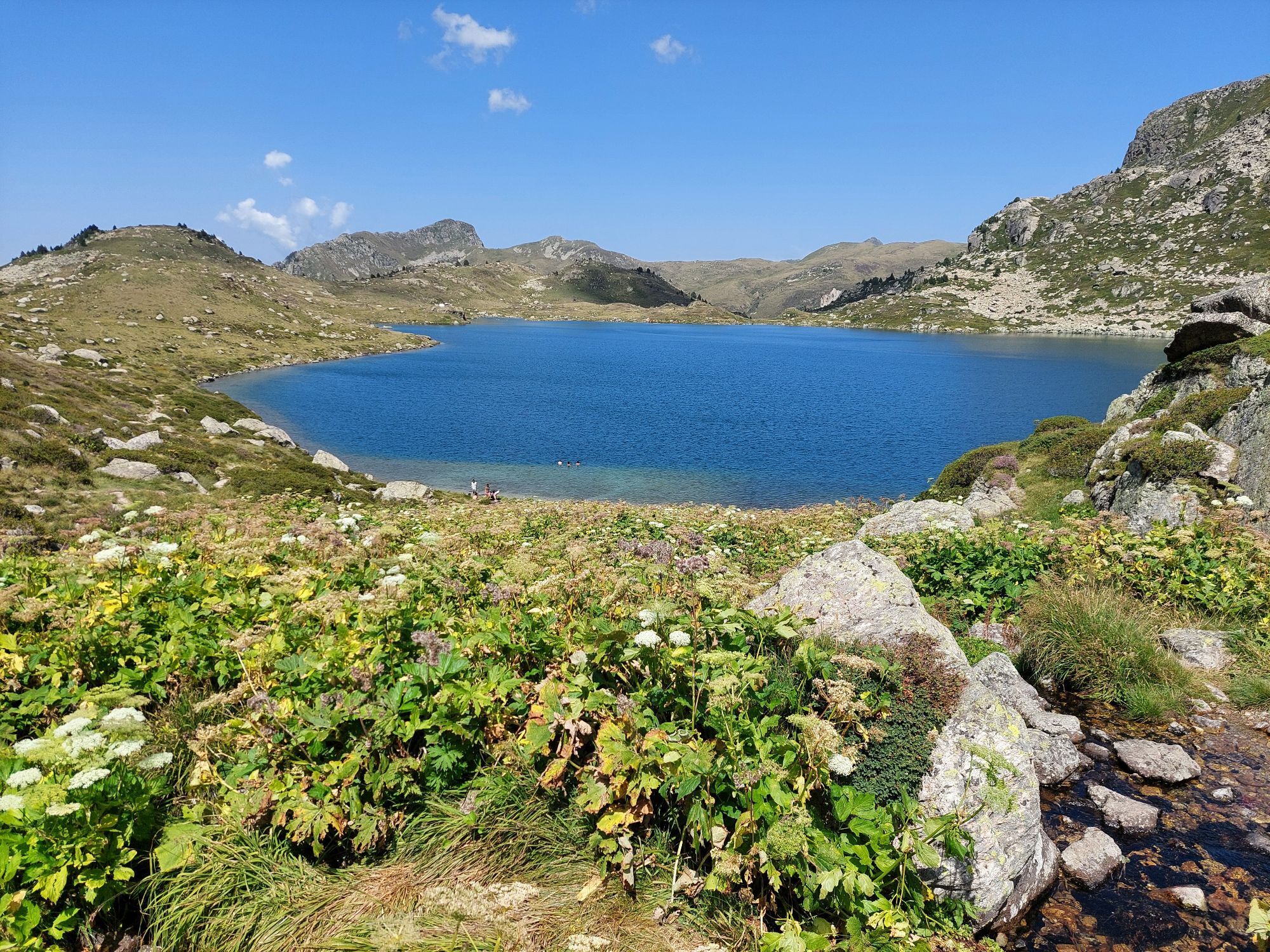
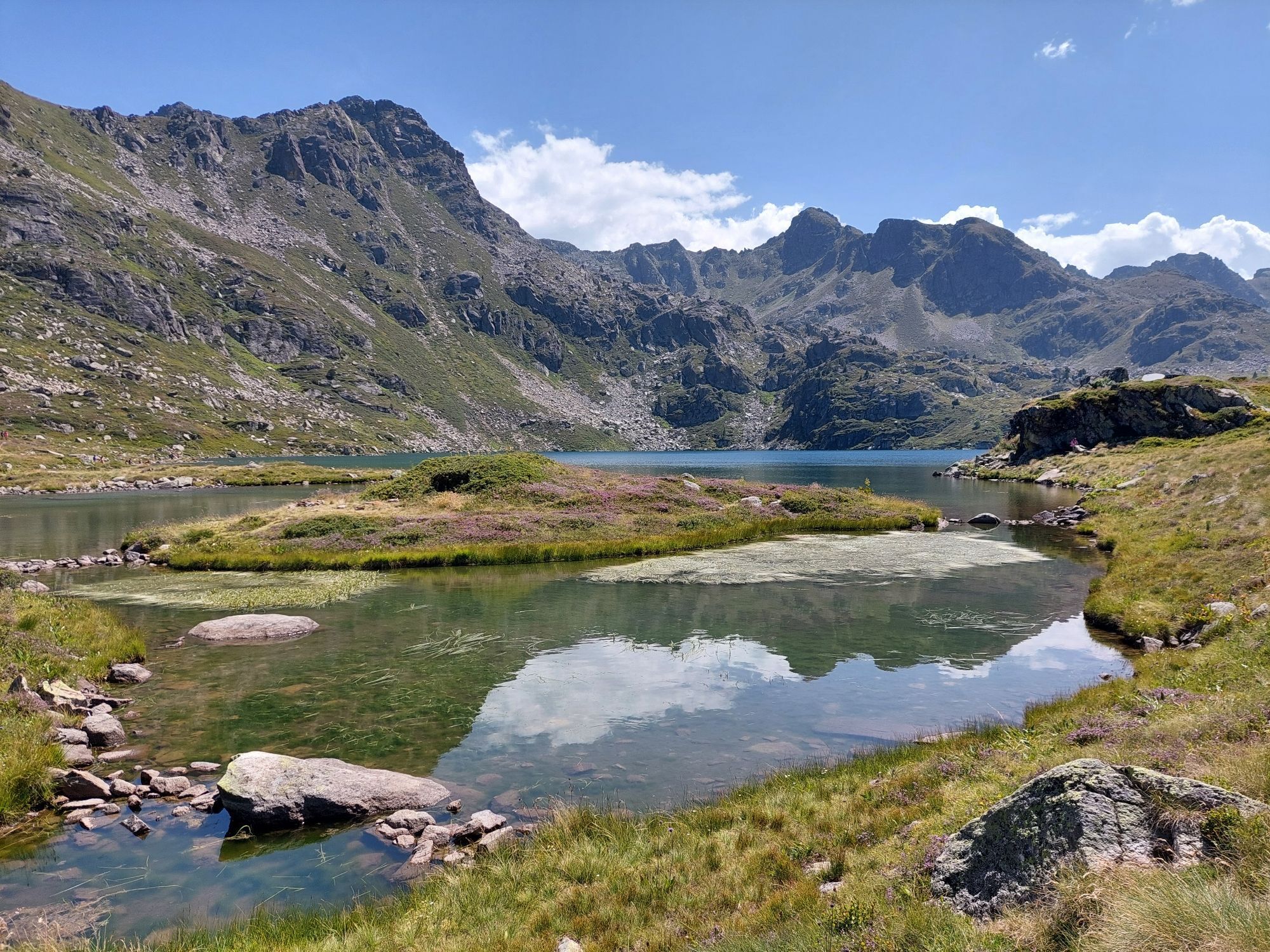
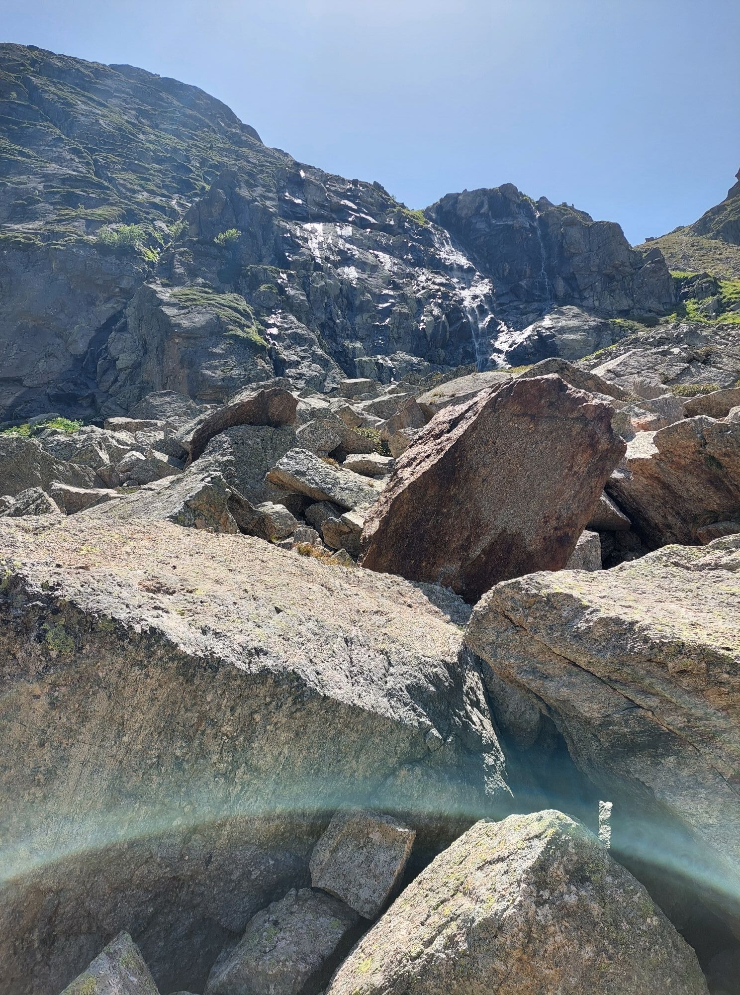
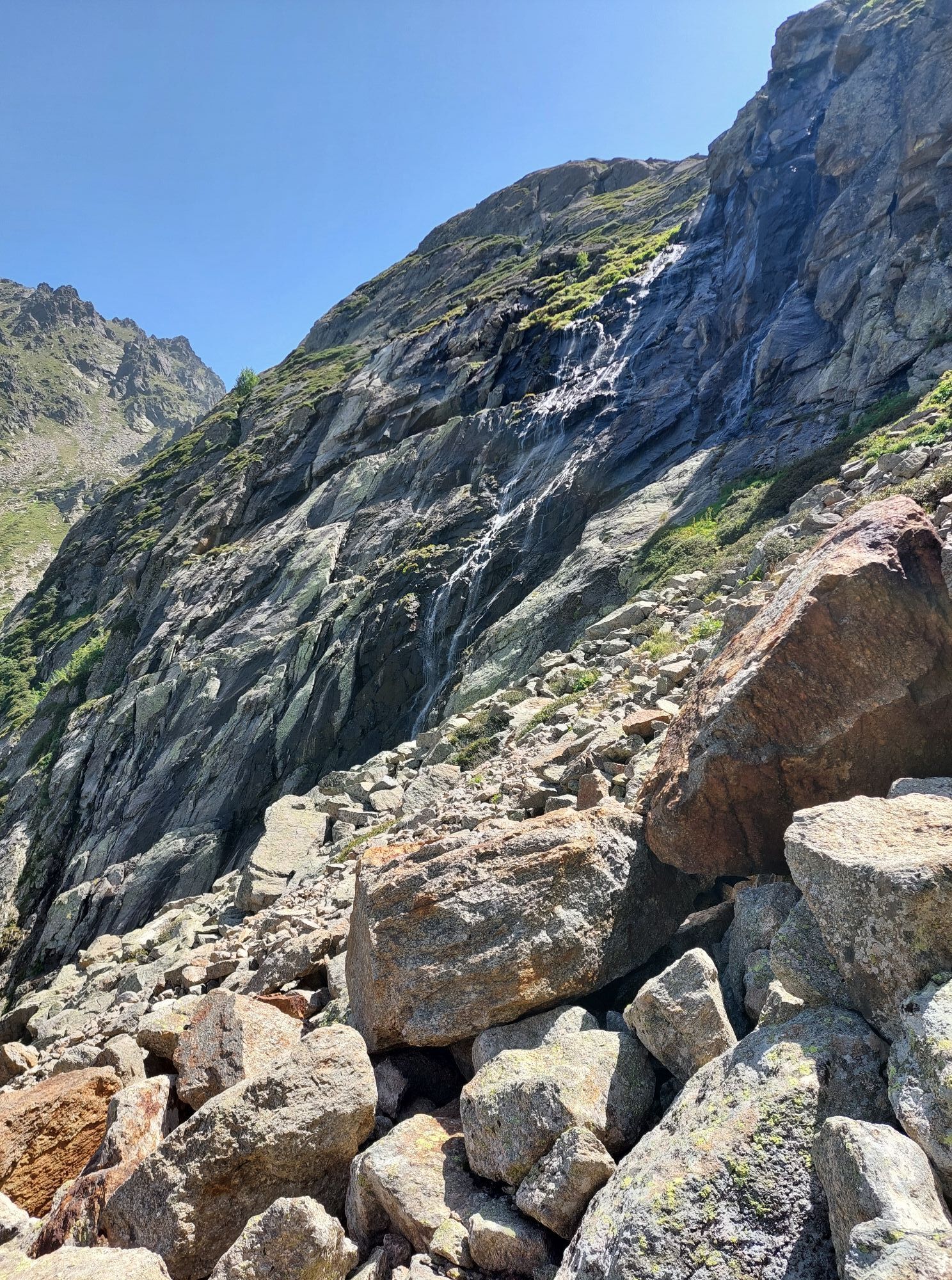
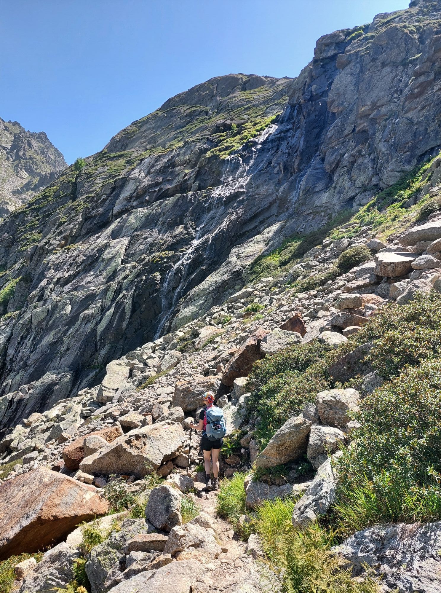
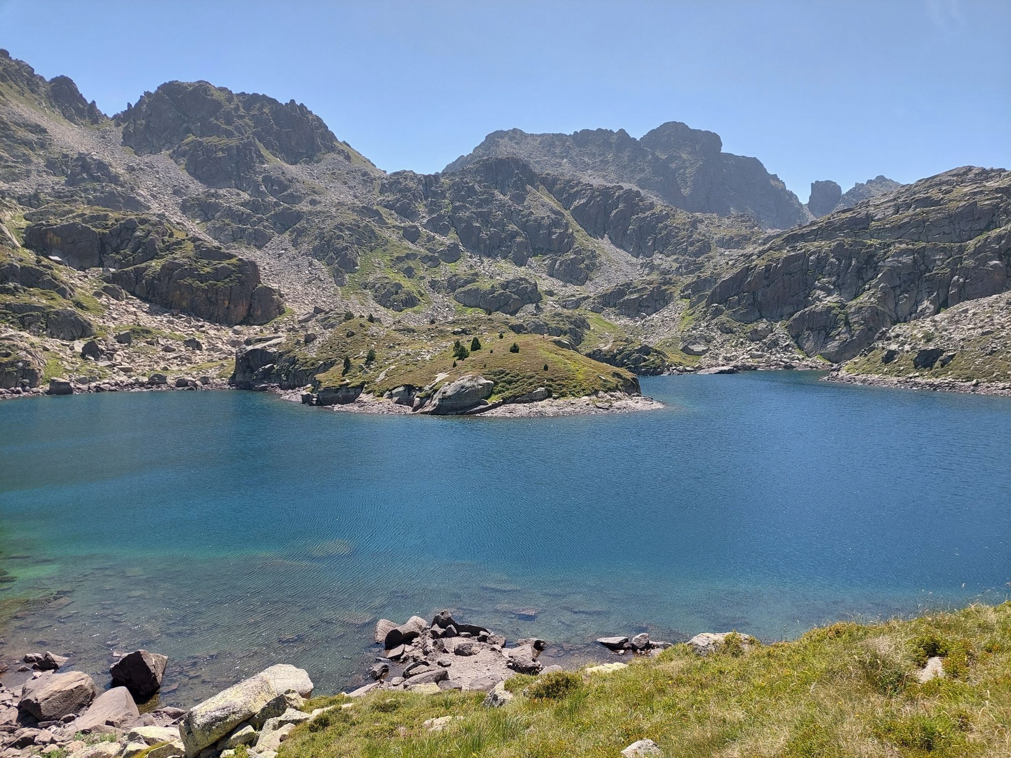
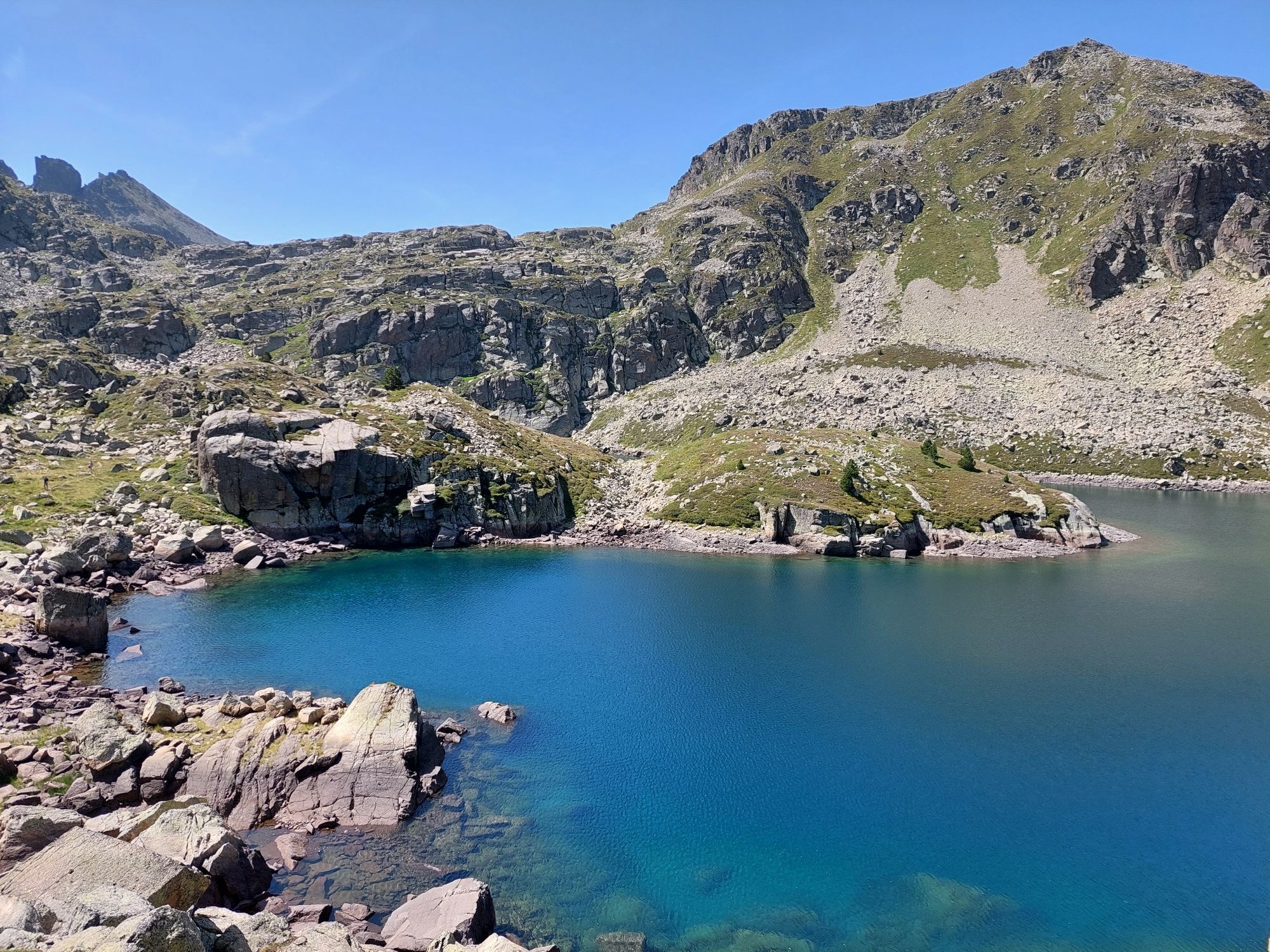
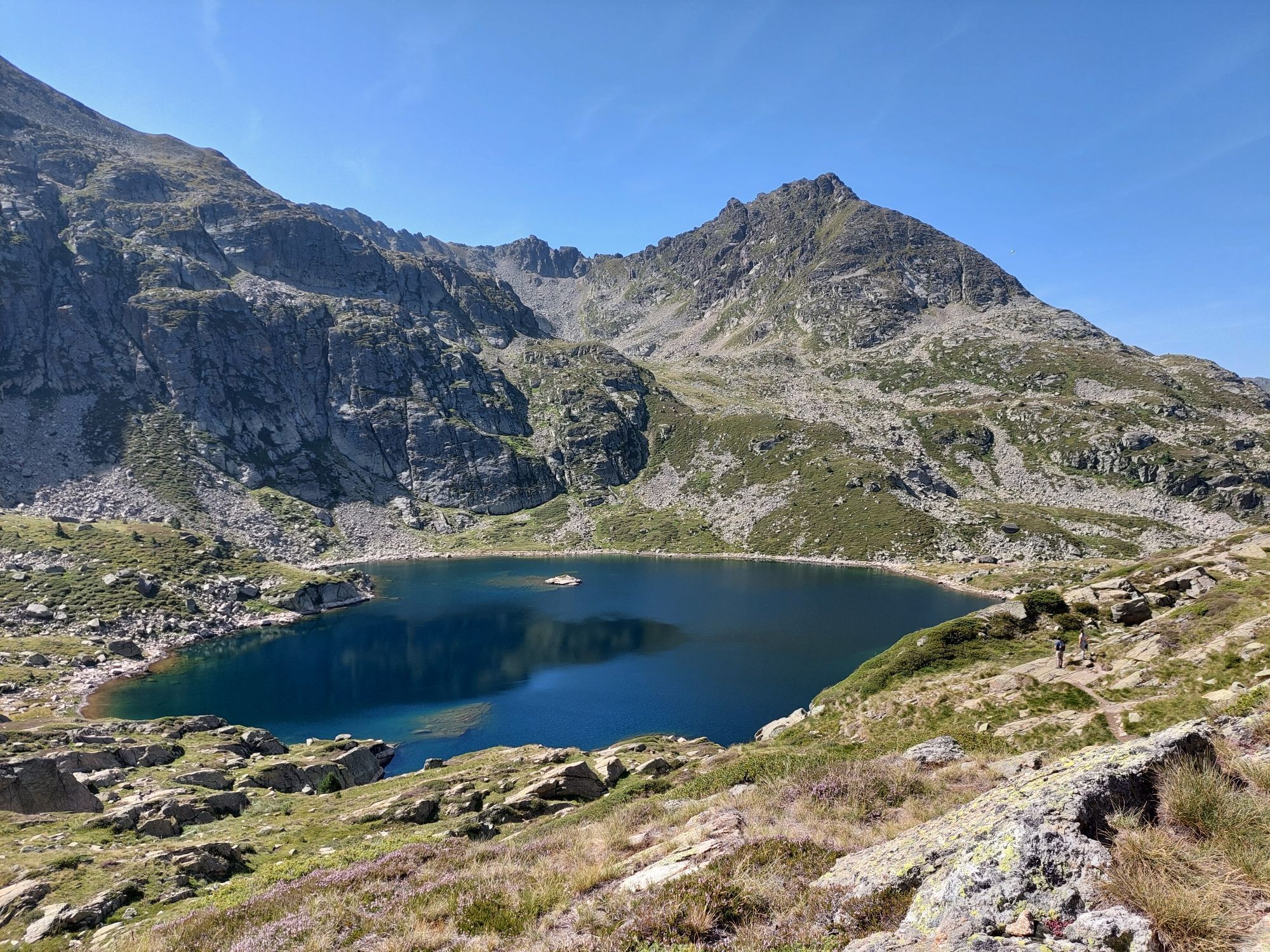
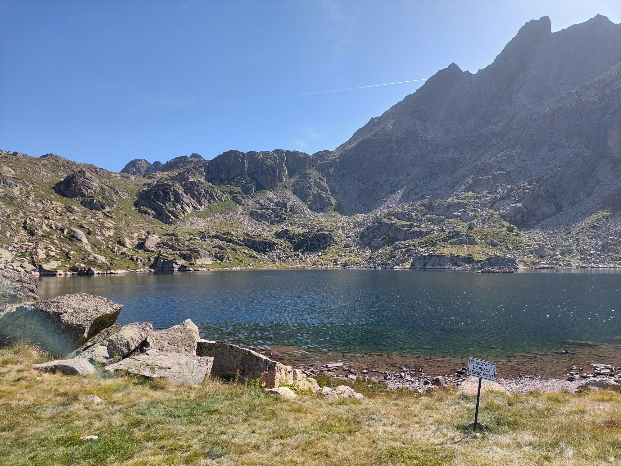
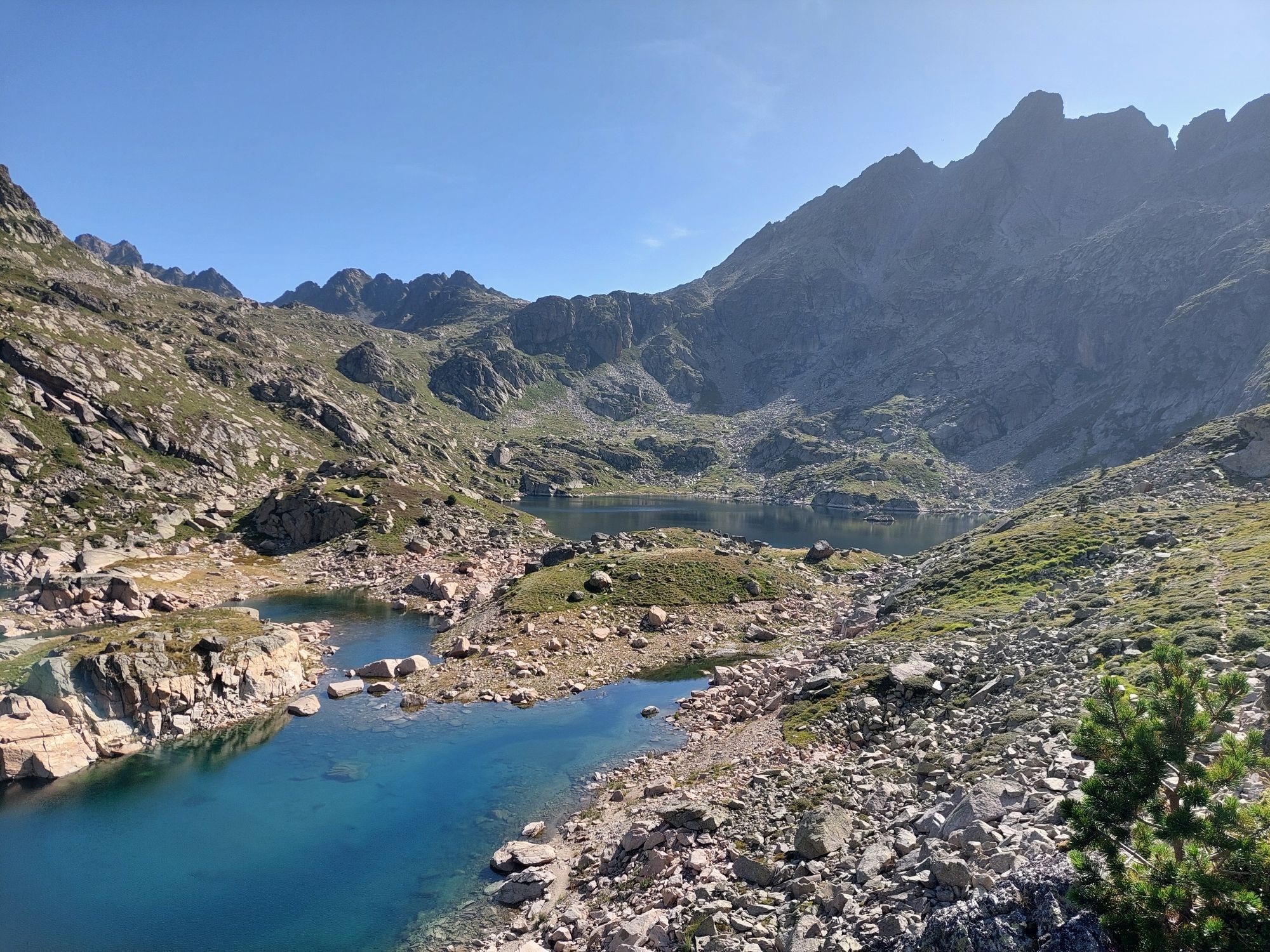
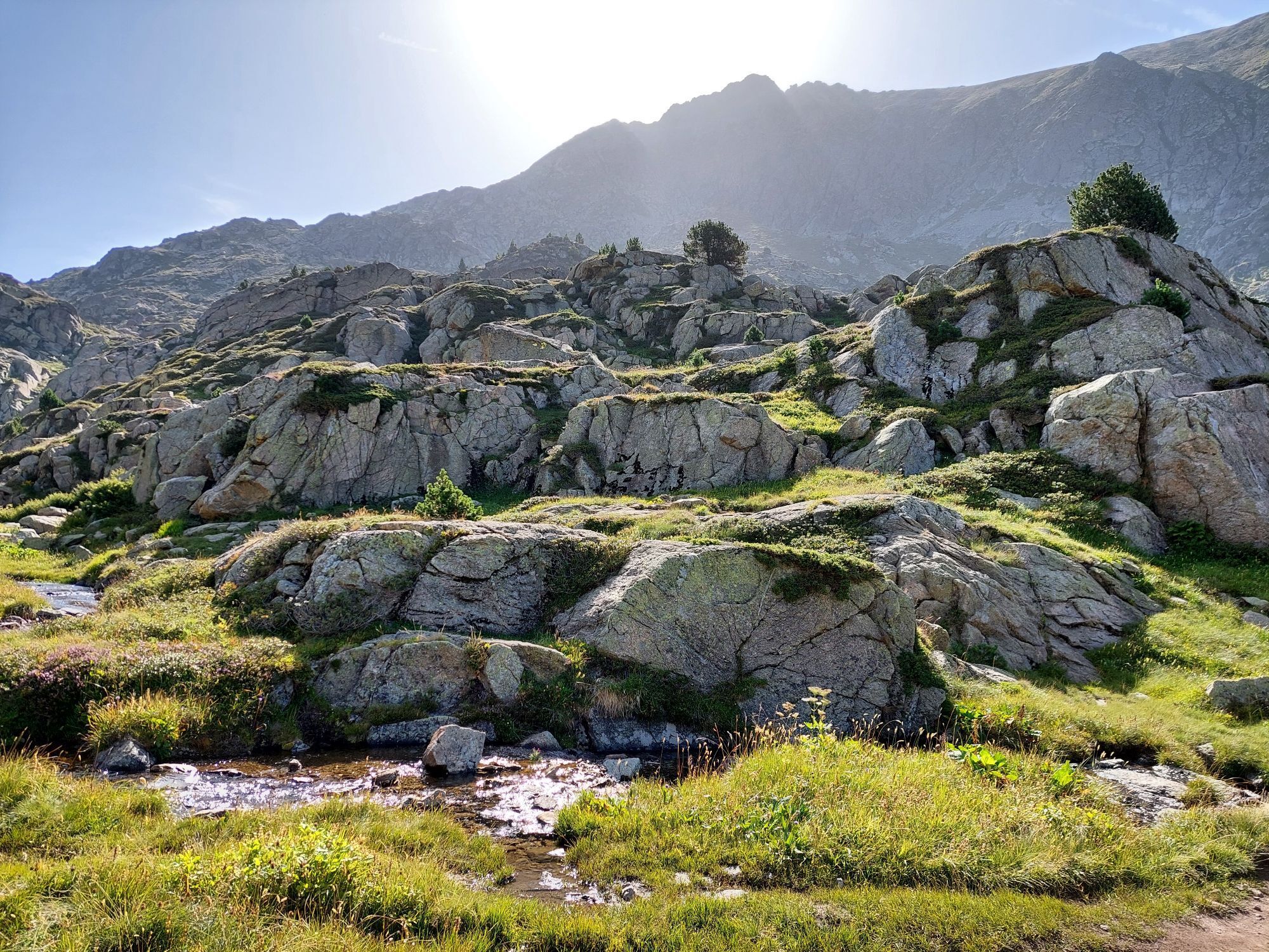
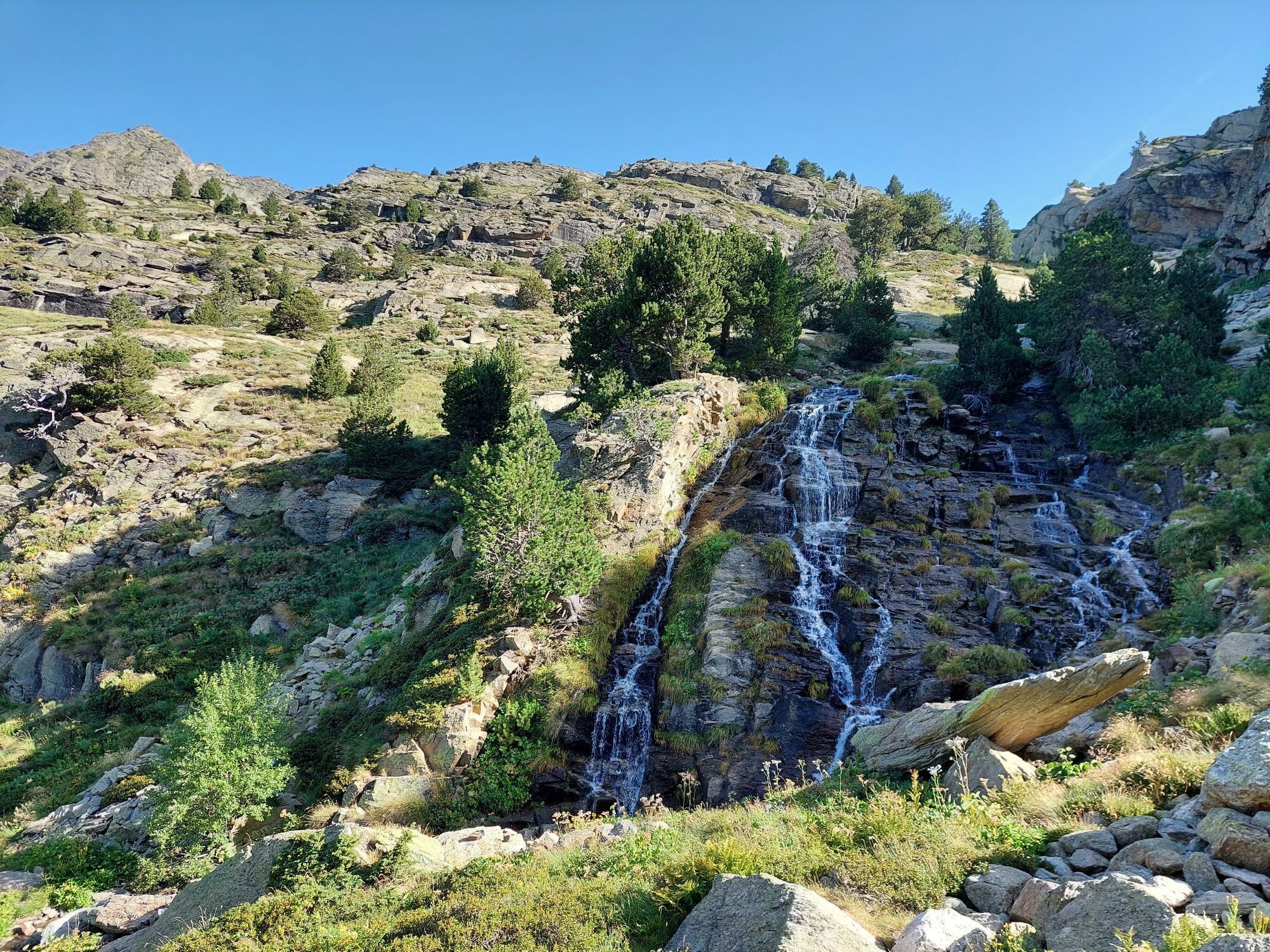
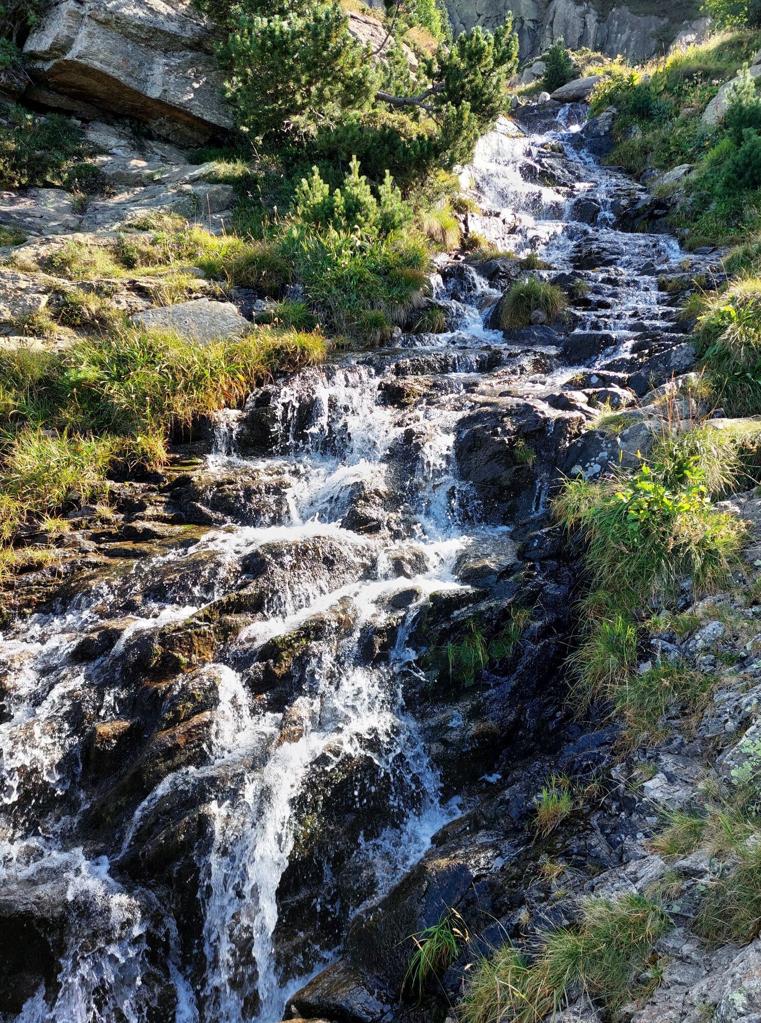
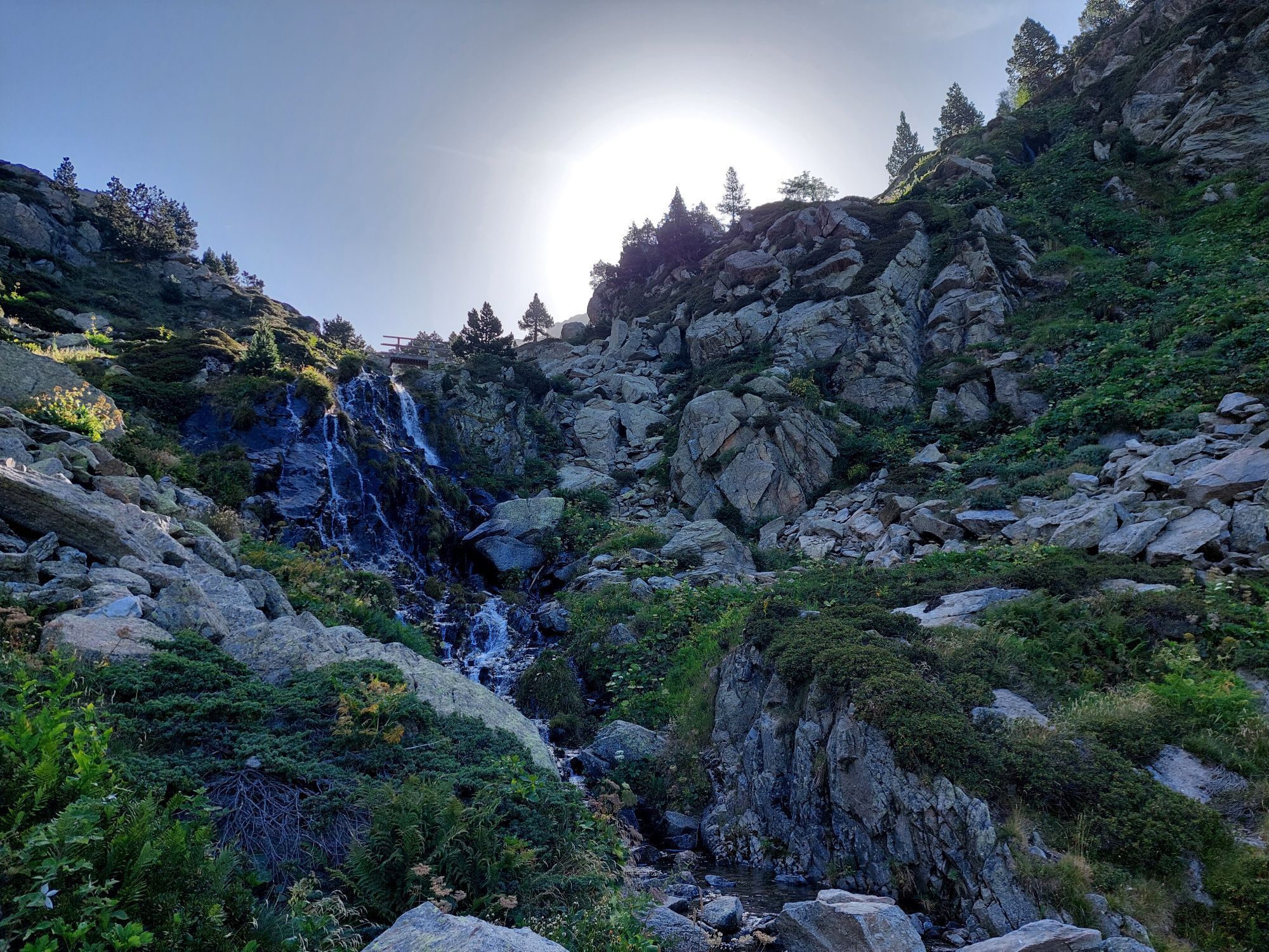
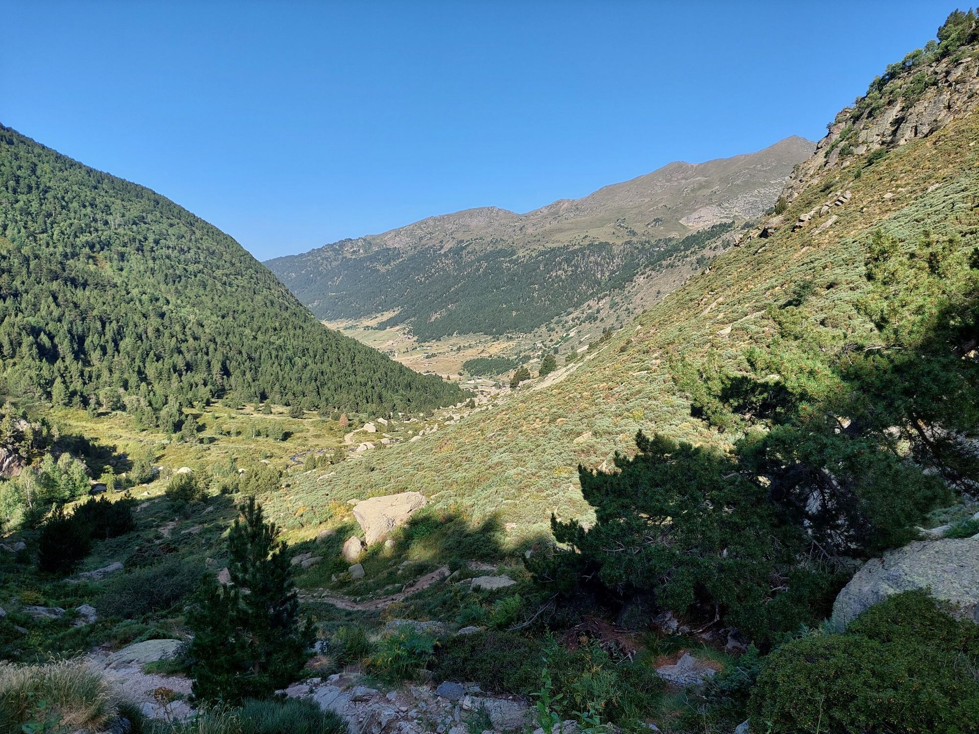
From Ax, head for Tarascon sur Ariège. Continue on the N20 to the village of Les Cabannes. From this village, head for the Plateau de Beille via the D522. The hike starts from the Plateau de Beille parking...
Opis
From Ax, head for Tarascon sur Ariège. Continue on the N20 to the village of Les Cabannes. From this village, head for the Plateau de Beille via the D522. The hike starts from the Plateau de Beille parking lot.
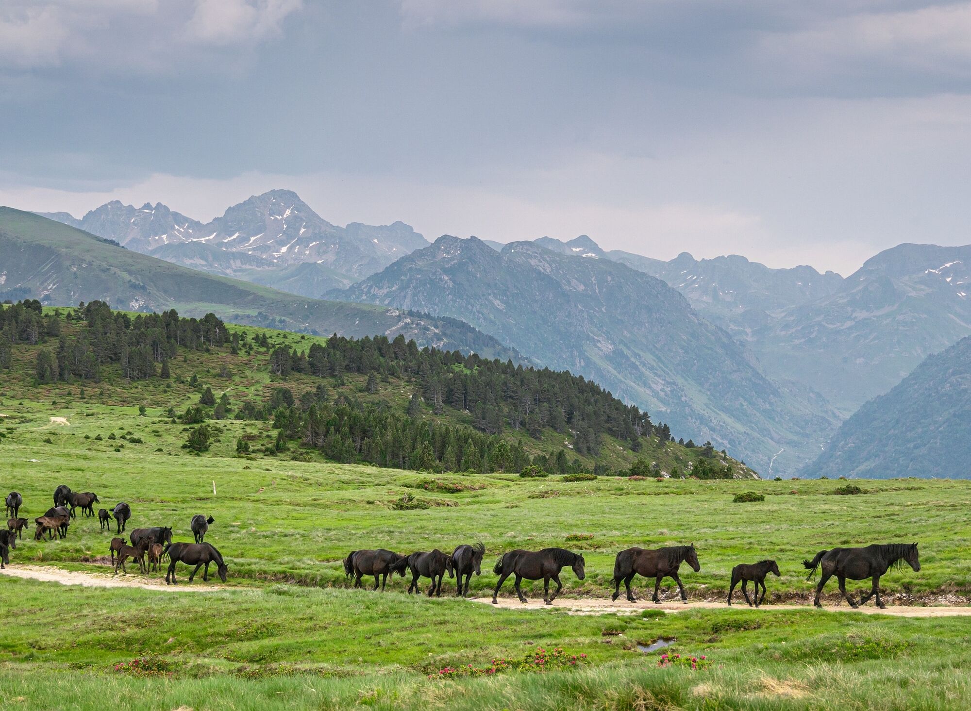
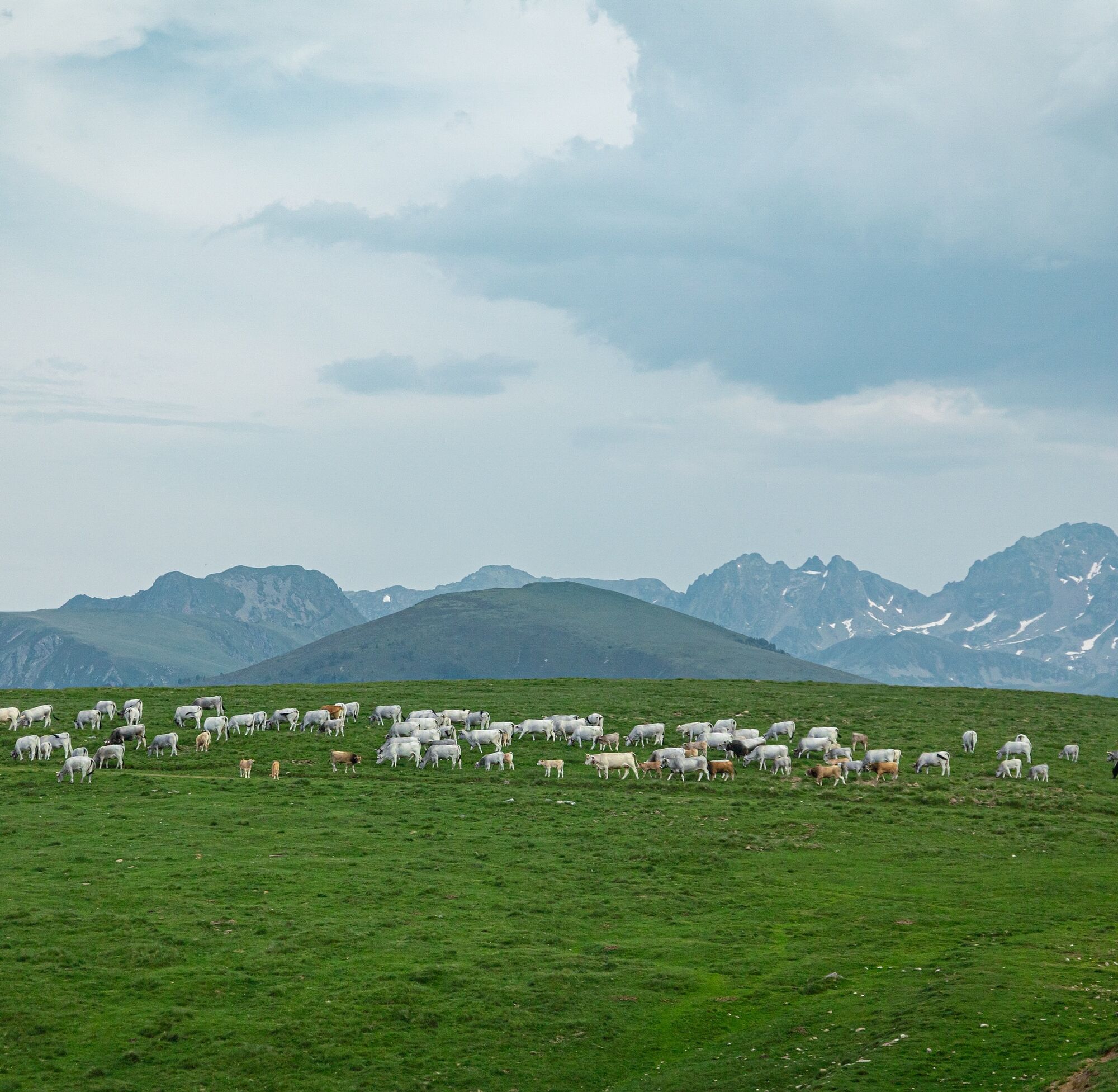
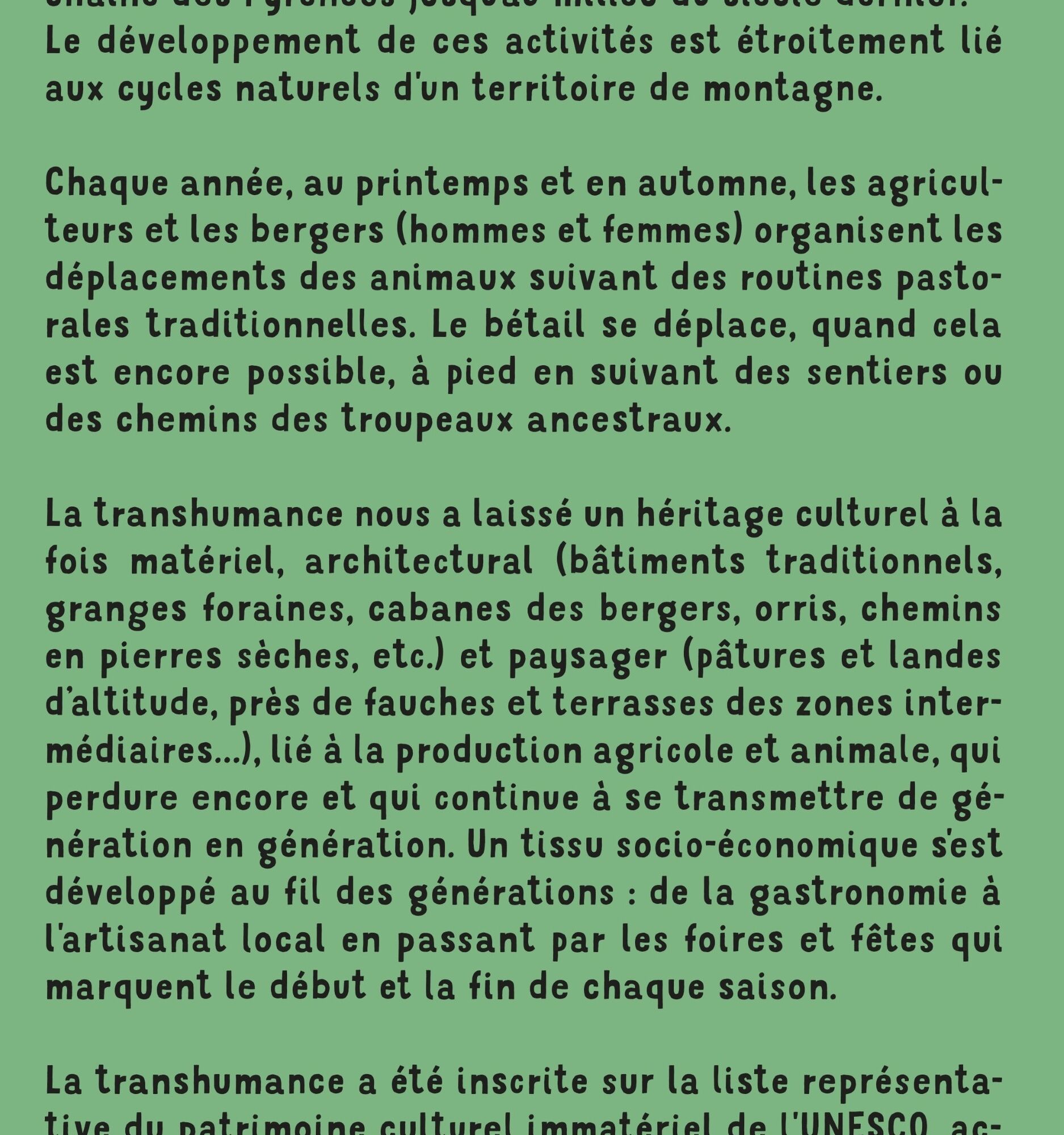
Every year, in spring and autumn, farmers and shepherds (men and women) organize the movement of their animals according to traditional pastoral routines. Whenever possible, livestock move on foot, following the paths and tracks of ancestral herds. Transhumance has left us a cultural heritage that is both material and architectural (traditional buildings, barns, shepherds' huts, orris, dry-stone paths, etc.), as well as landscape (highland pastures and heaths, hay meadows and terraces in intermediate areas, etc.), linked to agricultural and livestock production, which still endures and continues to evolve.
and continues to be passed down from generation to generation.
All this by following the following best practices: https://www.ariegepyrenees.com/preparer/randonner/montagne-mode-demploi/
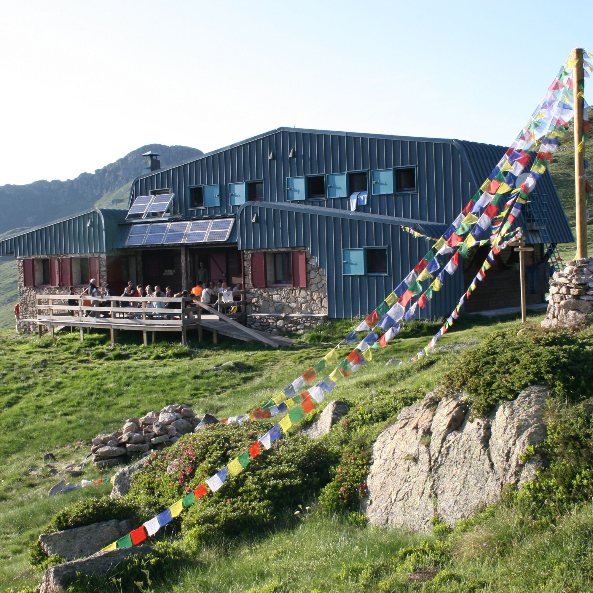
Book a night in one of our refuges:
http://www.refugidejuclar.com/
https://rulhe.com/
Every year, in spring and autumn, farmers and shepherds (men and women) organize the movement of their animals according to traditional pastoral routines. Whenever possible, livestock move on foot, following the paths and tracks of ancestral herds. Transhumance has left us a cultural heritage that is both material and architectural (traditional buildings, barns, shepherds' huts, orris, dry-stone paths, etc.), as well as landscape (highland pastures and heaths, hay meadows and terraces in intermediate areas, etc.), linked to agricultural and livestock production, which still endures and continues to evolve.
and continues to be passed down from generation to generation.
All this by following the following best practices: https://www.ariegepyrenees.com/preparer/randonner/montagne-mode-demploi/
Book a night in one of our refuges:
http://www.refugidejuclar.com/
https://rulhe.com/
Trasa
Prat Moll
(1 999 m)
Szczyt
2,6 km
Col de Belh
(2 220 m)
Siodełko górskie
10,2 km
Refuge du Rulhe
(2 189 m)
Schronienie
10,5 km
Pont de la Baladosa
(1 839 m)
Korytarz/teren
17,6 km
Refugi de Juclar
(2 311 m)
Schronienie
21,0 km
Col de Belh
(2 220 m)
Siodełko górskie
26,8 km
Prat Moll
(1 999 m)
Szczyt
34,4 km
Trasa
Chemin de la Transhumance Plateau de Beille - Val d'Incles
ciężki
Wędrówka
37,15
km
Plateau de Beille
(1 937 m)
Korytarz/teren
0,0 km
Prat Moll
(1 999 m)
Szczyt
2,6 km
Col du Rieutort
(2 250 m)
Siodełko górskie
9,6 km
Col de Belh
(2 220 m)
Siodełko górskie
10,2 km
Refuge du Rulhe
(2 189 m)
Schronienie
10,5 km
Source d'eau
(2 151 m)
Źródło
10,9 km
l'Ovella Negra
(1 838 m)
Restauracja
17,6 km
Pont de la Baladosa
(1 839 m)
Korytarz/teren
17,6 km
Font del Travenc
(1 940 m)
Źródło
18,5 km
Picnic del Travenc
(1 929 m)
Korytarz/teren
18,5 km
Cascada del Juclar
(2 176 m)
Wodospad
19,7 km
Refugi de Juclar
(2 311 m)
Schronienie
21,0 km
Source d'eau
(2 151 m)
Źródło
26,2 km
Refuge du Rulhe
(2 189 m)
Schronienie
26,5 km
Col de Belh
(2 220 m)
Siodełko górskie
26,8 km
Col du Rieutort
(2 250 m)
Siodełko górskie
27,4 km
Prat Moll
(1 999 m)
Szczyt
34,4 km
Plateau de Beille
(1 937 m)
Korytarz/teren
36,9 km
Autor
Dostarczone przez Ariège Pyrénées Tourismus
Wycieczkę Chemin de la Transhumance Plateau de Beille - Val d'Incles zapewnia outdooractive.com.


Informacje o trasie
Trasa
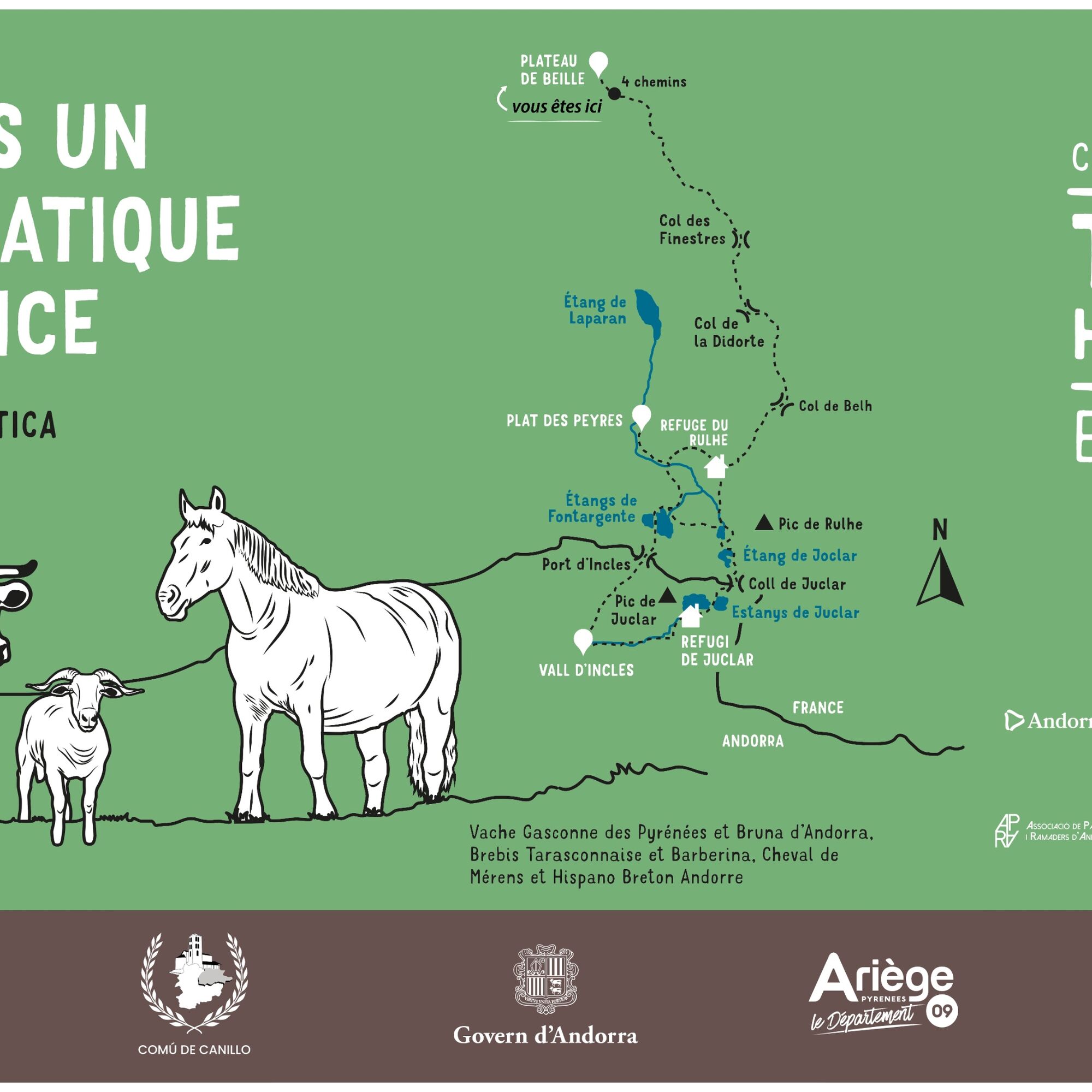
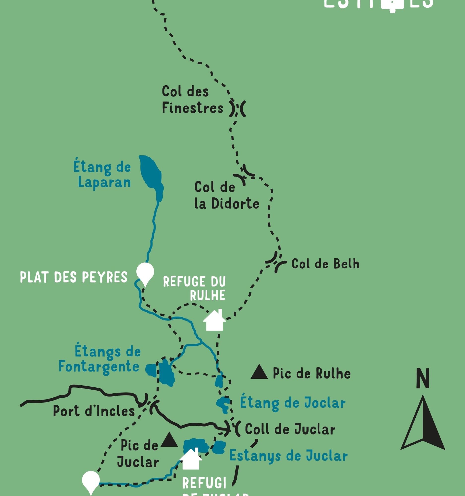
STAGE 1: PLATEAU DE BEILLE - REFUGE DU RULHE Walking time: 5h - Distance: 11 km Vertical rise +/-: 620m / 370m
STAGE 2: REFUGE DU RULHE - FONTARGENTE - VAL D'INCLES - REFUGE DE JOCLAR Walking time: 5h30 - Distance: 11 km Vertical rise +/-: 630m / 510m
STAGE 3: REFUGE DE JOCLAR - REFUGE DU RULHE Walking time: 3h00 - Distance: 6 km Vertical rise +/-: 210m / 340m
STAGE 4: REFUGE DU RULHE - PLATEAU DE BEILLE Walking time: 4h40 - Distance: 11 km Vertical rise +/-: 370m / 620m
STAGE 2: REFUGE DU RULHE - FONTARGENTE - VAL D'INCLES - REFUGE DE JOCLAR Walking time: 5h30 - Distance: 11 km Vertical rise +/-: 630m / 510m
STAGE 3: REFUGE DE JOCLAR - REFUGE DU RULHE Walking time: 3h00 - Distance: 6 km Vertical rise +/-: 210m / 340m
STAGE 4: REFUGE DU RULHE - PLATEAU DE BEILLE Walking time: 4h40 - Distance: 11 km Vertical rise +/-: 370m / 620m
Dodatkowe informacje i wskazówki
Poziom trudności
T2
Nie ma jeszcze recenzji
Kamery internetowe z trasy
-
Espiolets - Sector Soldeu
-
Espiolets - Sector Soldeu
-
Espiolets - Sector Soldeu
-
Espiolets - Sector Soldeu
-
Espiolets - Sector Soldeu
-
Espiolets - Sector Soldeu
-
Espiolets - Sector Soldeu
-
Espiolets - Sector Soldeu
-
Beille - Vue Panoramique
-
Saquet - Ax les Thermes
-
Estadi Creand
-
Estadi Creand
-
Estadi Creand
-
Estadi Creand

Wszystkie kamery internetowe na mapie
Zainstaluj aplikację za darmo i porównaj obrazy na żywo z kilku miejsc, zanim wyruszysz w drogę.
Skorzystaj już teraz z funkcji „ bergfex ” w aplikacji
Zeskanuj kod QR za pomocą aparatu
Po zainstalowaniu aplikacji treść otworzy się od razu. Jeśli jeszcze nie masz tej aplikacji, zostaniesz przekierowany do strony, z której możesz ją bezpłatnie pobrać.

Popularne wycieczki w okolicy
-
4,5
Soldeu - Vall d'Incles - Picnic - Cami de l'Obac
światłoWędrówka 10,8 km -
The Bonshommes Trail GR®107
średniWędrówka 224,7 km -
GR®10 - The great crossing of the Pyrenees
ciężkiWędrówka 278,3 km -
Soldeu - Estany de Querol - Basses de les Salamandres - near Estany Cabana Sorda
ciężkiWędrówka 11,1 km -
5,0
Soldeu - Estanys Siscaro - Soldeu
średniWędrówka 14,3 km -
Fontargente ponds
światłoWędrówka 7,78 km -
Étang des Bésines and its refuge
światłoWędrówka 14,6 km -
Refuge du Rulhe via Le Rieutort
światłoWędrówka 13,2 km -
Soldeu - Estany Querol - Estanys Salamandre - Cabana Sorda
średniWędrówka 13,8 km -
Comte pond
światłoWędrówka 5,07 km
Wędrówki i tropienie

Ponad 550.000 propozycji wycieczek, szczegółowe mapy i intuicyjny planer tras sprawiają, że aplikacja jest niezbędna dla wszystkich entuzjastów przyrody.

Nie przegap ofert i inspiracji na następne wakacje
Zapisz się do newslettera
Błąd
Wystąpił błąd. Spróbuj ponownie.
Dziękujemy za rejestrację
Twój adres e-mail została dodana do listy mailingowej.
Wycieczki po całej Europie
Austria
Szwajcaria
Niemcy
Włochy
Słowenię
Francja
Holandia
Belgia
Polska
Liechtenstein
Czechy
Słowacja
Hiszpania
Chorwacja
Bośnia i Hercegowina
Luksemburg
Andorra
Portugalia
Islandia
Wielka Brytania
Irlandia
Grecja
Albania
Macedonia Północna
Malta
Norwegia
Czarnogóra
Mołdawia
Kosowo
Węgry
San Marino
Rumunia
Estonia
Łotwa
Białoruś
Cypr
Litwa
Serbia
Bułgaria
Monako
Dania
Szwecja
Finlandia





