






The great loop of the 3 dolmens

Consigne en randonnée : tenir les chiens en laisse, ils pourraient affoler les troupeaux


1. Cross the old bridge and take the leftmost uphill road. After 300 m, take the path to the left of the wooden sign "Dolmen." Upon reaching the top on the paved road, take it to the right towards Brillaud. Continue straight, staying on the plateau overlooking the village of Mas d’Azil.
2. The paved path climbs with bends. In the sharp right curve, take the path going up to the left at the wooden sign "Dolmens de Brillaud, Couminge." After a brief slightly steep ascent, the path runs almost flat along the southern flank of Mont Calbech, first in the open offering a vast view of the village, then through a grove of junipers, pines, and oaks.
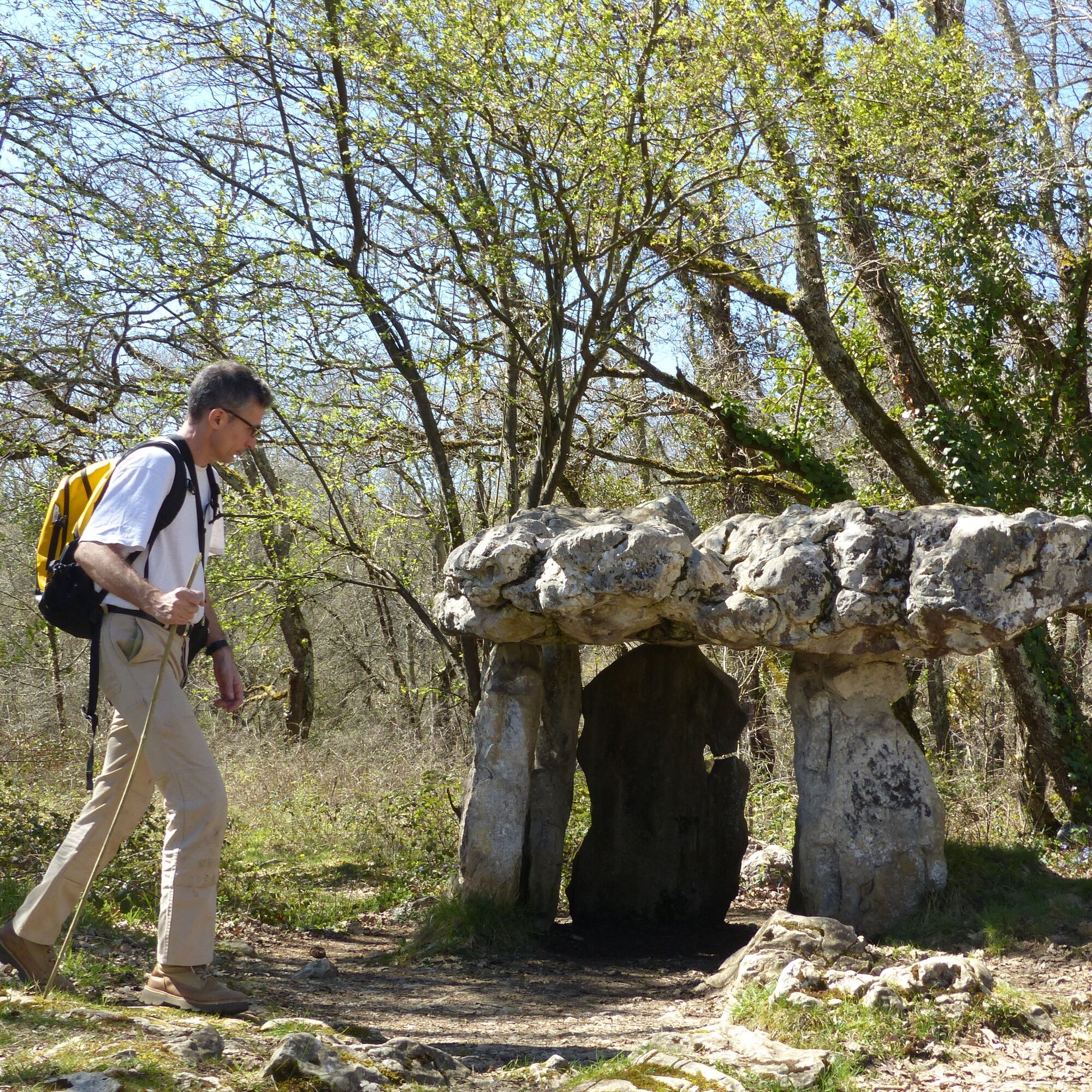
3. At the crossroad with another descent, turn left onto the path bordered by fences which, among oaks and limestone rocks, climbs the ridge. The path with small exposed rocks runs along it and leads in 20 minutes to the dolmen of Brillaud.
4. Then continue in the direction indicated by the signs "Couminge" and "Les Moulis." Walk for a long time westwards on the heights of Plantaurel, often among small oaks of the quères. 4 km after the dolmen, once at the woods where the path climbs from Montfa, take it to the left by climbing.
5. After a short detour to the nearby dolmen, follow the gravel path that passes to the right of the house to climb above the hamlet of Couminge. Descend straight down along the track as indicated by the "Camarade" sign, and after the workshop, go down the path bordered by small walls to road D15 which you cross and take uphill for about 200 m. Leave the road to descend left on the path going below, then take the grassy path turning left at right angle.
6. Shortly after, join the small road of Lavielle which you cross to walk on the path that, on one side then the other of the stream, leads to Lézères. Cross the hamlet and continue straight out via the paved path that joins road D15.
7. Go down it for 500 m and leave it for the road on the left towards Seignas. In the left turn, take the marked path going right. Once past a ruin, the path goes through meadows towards the farm of Lapostoul. After the new house, near the stable building, walk on the stoned track as indicated by the wooden post pointing to Dolmen du Cap Del Pouech.
8. Pass the gate not far, to the left of the watering troughs. Following the markers, continue along the hillside to another gate that gives access to the paved path leading left to the farm of Milhorat. Just after the pond and before the buildings, turn left.
9. The wide path where rocks surface zigzags among dry grasslands and climbs slightly between two small walls near the oaks before flattening out in the open, bordering a lovely expanse of meadows. Then continue the track through the grasslands under the oaks. At the junction with the small road, go down to the right to Dolmen du Cap del Pouech. Continue on the small paved road and at the sharp left hairpin bend, leave it for the rather rocky path going down on the right.
10. 30 m below the fountain, turn right onto "le chemin de Mathilde." This path descends near a small pond and then offers a view of the village of Mas d’Azil. Further down it opens onto pastures and leads back to the village gardens and the Arize river. Cross the river on a concrete footbridge near the old mill. To return to Place du Fond de la Ville, walk on Rue du Moulin immediately on the left and then along Grande Rue.
Popularne wycieczki w okolicy
-
The Pyrenean Piedmont Route GR®78
ciężkiWędrówka 152,8 km -
The solitary trail
ciężkiWędrówka 2,62 km -
The Royal Forest - Forest Path
światłoWędrówka 1,57 km -
La Carlanaise via Canales
światłoWędrówka 11,0 km -
The tour of Lake Filheit
światłoWędrówka 7,29 km -
Cycling & Cheese Route
średniJazda na rowerze 55,6 km -
Cycle touring route - Le Mas-d'Azil
średniDroga rowerowa 77,3 km -
Cyclosport route 4 - La Marco Casartelli
ciężkiDroga rowerowa 131,5 km -
The dolmen of Cap Del Pouech
światłoWędrówka 3,03 km -
The Tuc de Montcalivert
światłoWędrówka 8,24 km
Wędrówki i tropienie


Nie przegap ofert i inspiracji na następne wakacje
Twój adres e-mail została dodana do listy mailingowej.





