






HIKING TOUR DES LONDRES TO BUÈGES - GR® DE PAYS TOURS IN GRAND PIC-SAINT-LOUP

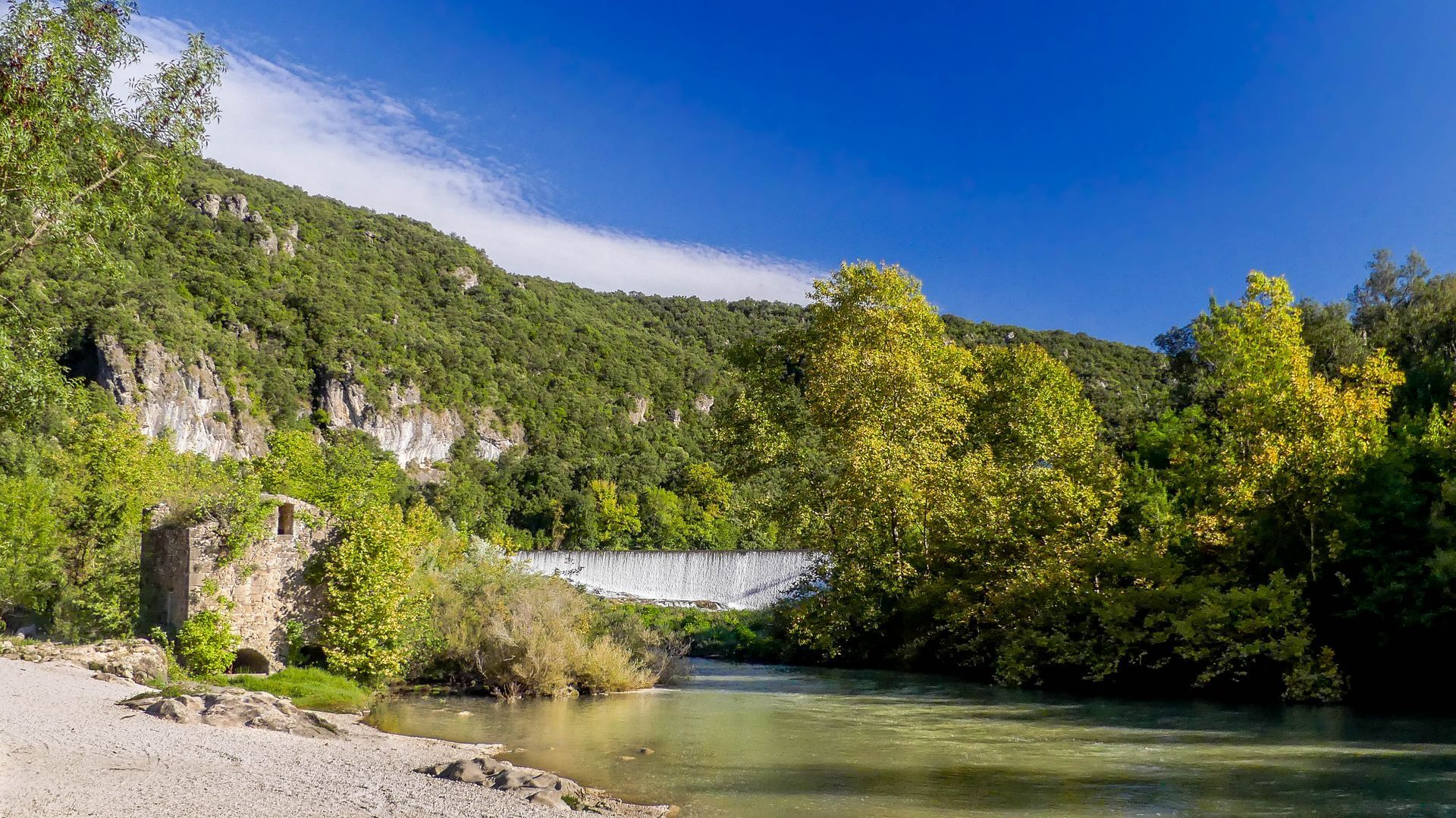
A loop between hills and wonders. Pleasant in warm weather, as you will have the opportunity to approach the banks of the Hérault and hike in the shade of the Séranne mountain.
The Tour des Londres to Buèges...
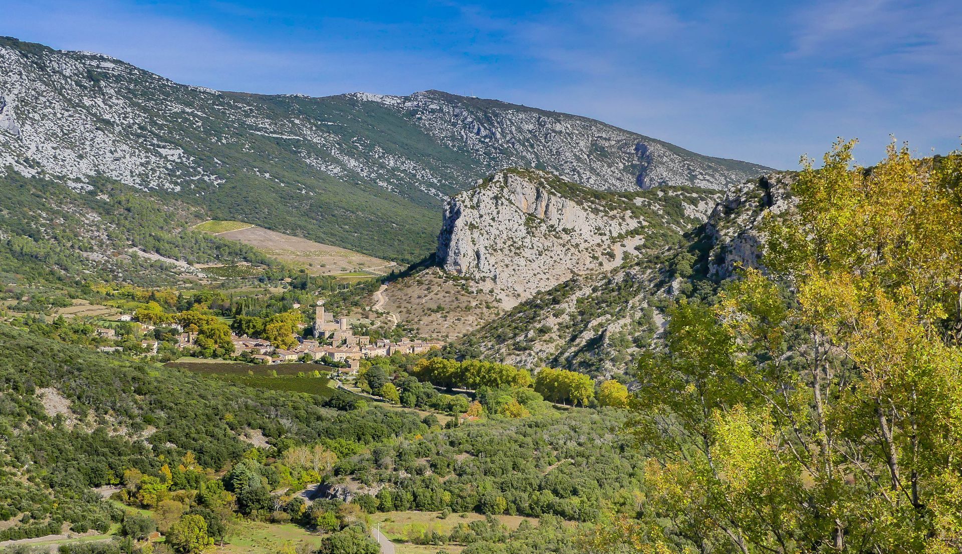
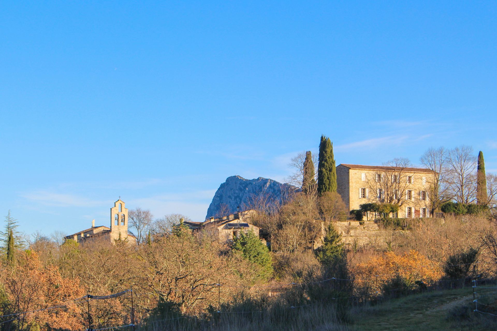
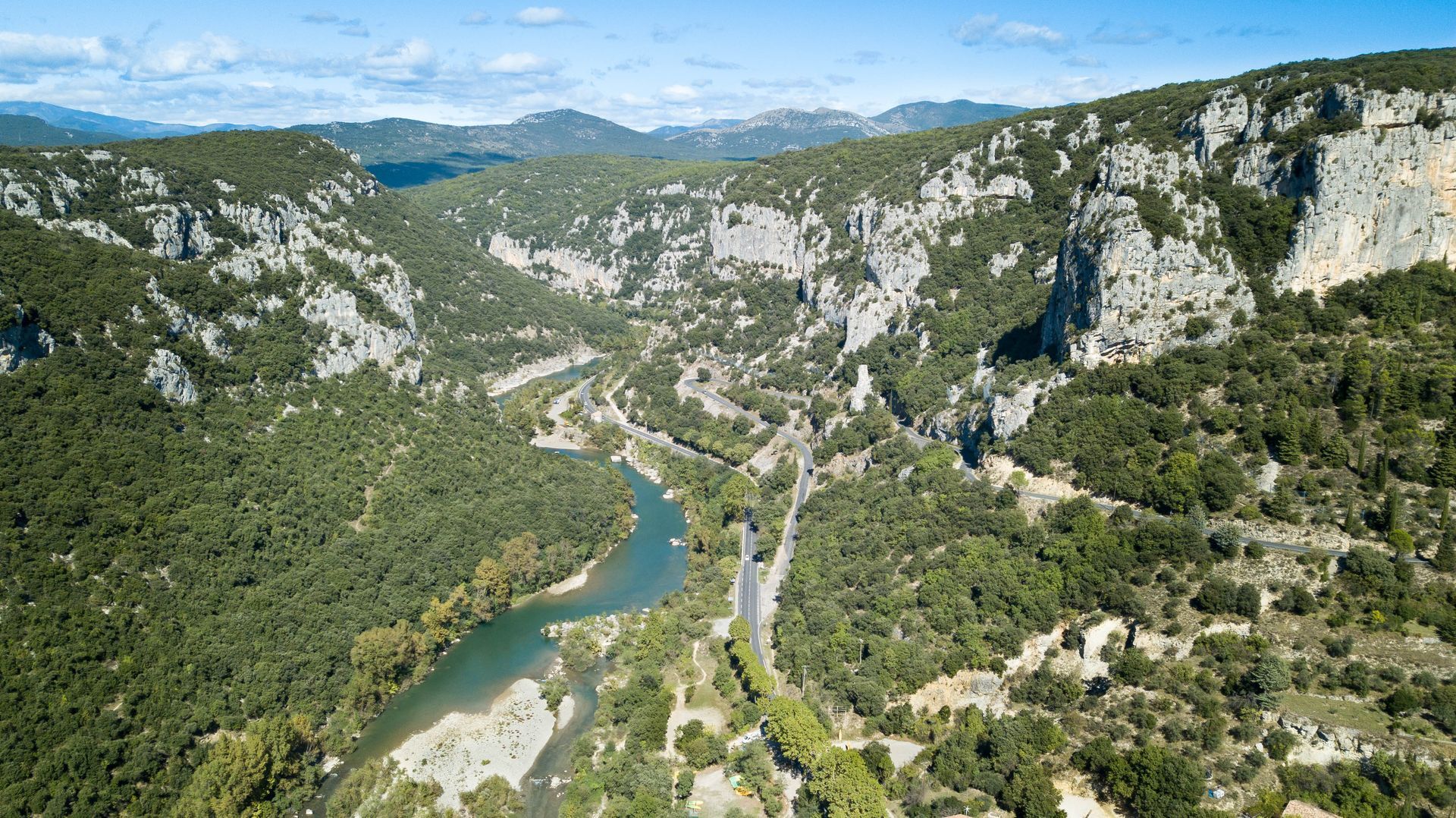
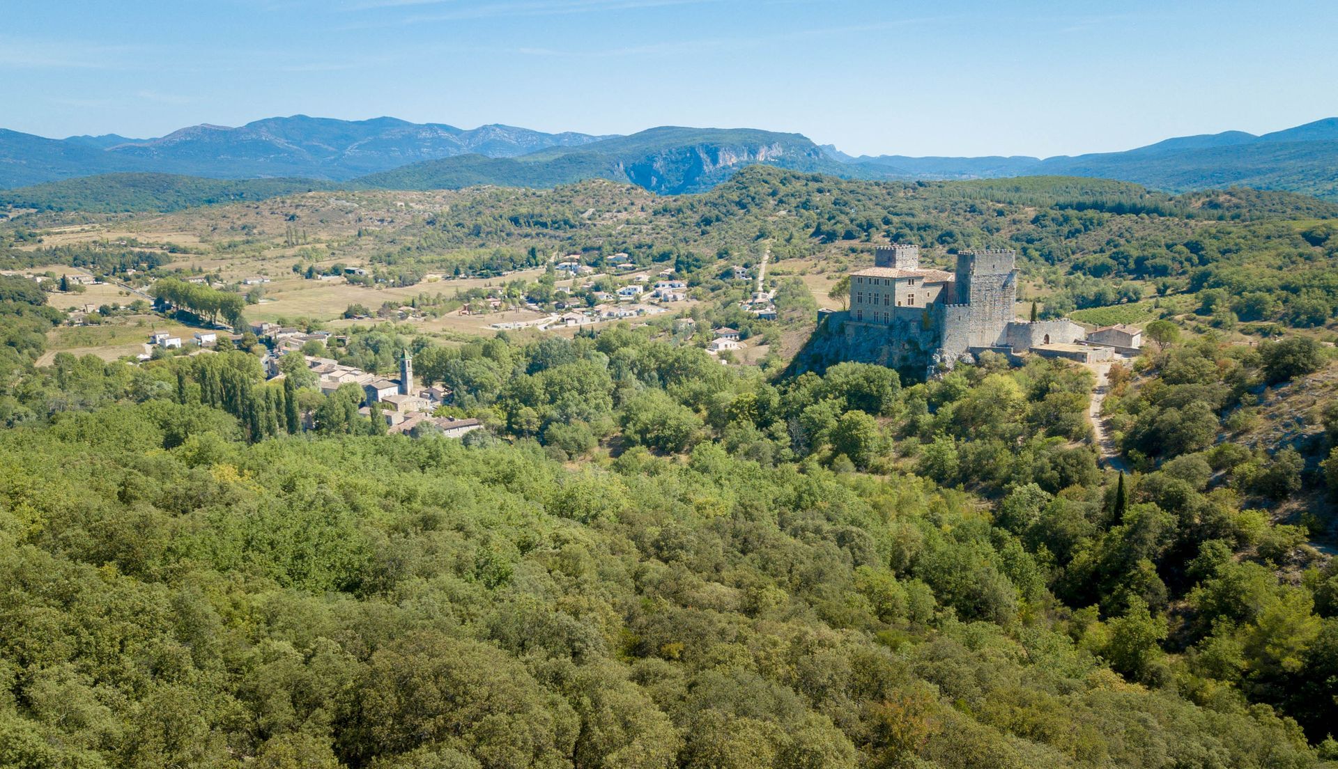
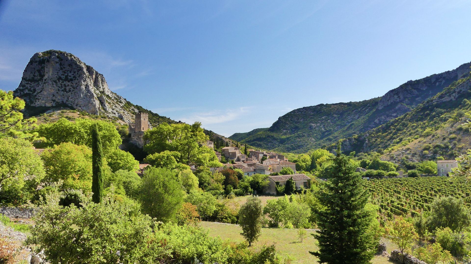
The Tour des Londres to Buèges is part of the GR® de Pays Tours in the Grand Pic Saint-Loup, elected Favorite GR® of the French in 2021. North of Montpellier, at the foot of Pic Saint-Loup (658 m), vineyards and scrubland, holm oaks and meadows sprinkled with villages with stone alleys reign. The city is only a few kilometers away but feels very far. Further north, the causses, gorges and wild ridge of the Séranne (942 m) are revealed. Thanks to a dense network of old shepherd trails, vineyard paths and trails, several loops allow you to explore these landscapes of ever-renewed beauty in all seasons.


1
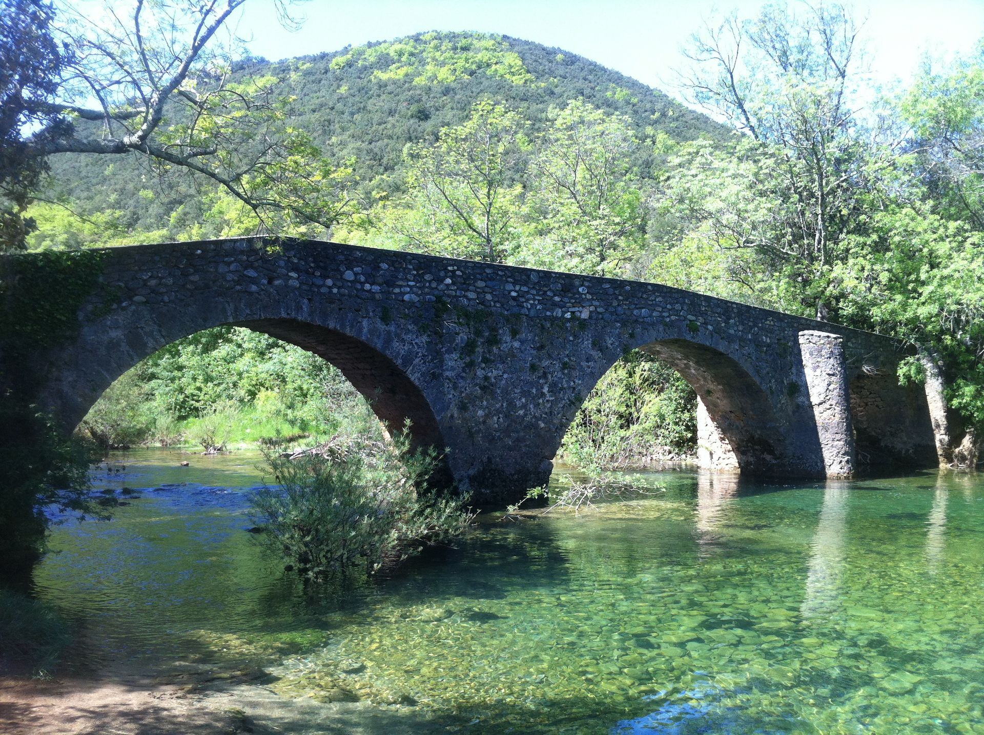
Starting from the church of Saint-Jean-de-Buèges, reach the edge of the Garrel and leave the village towards Pégairolles-de-Buèges. Climb the path on the left and reach Causse-de-la-Selle. Pass in front of the town hall and continue towards Encontre. Take a path that descends towards Moulin-de-Bertrand. Cross the bridge spanning the Hérault river. Then take the road going up towards the houses leading to La Conque. Follow the shepherd's path, then the track. After a cattle enclosure, continue on a rocky path and descend towards Saint-Martin-de-Londres.
2
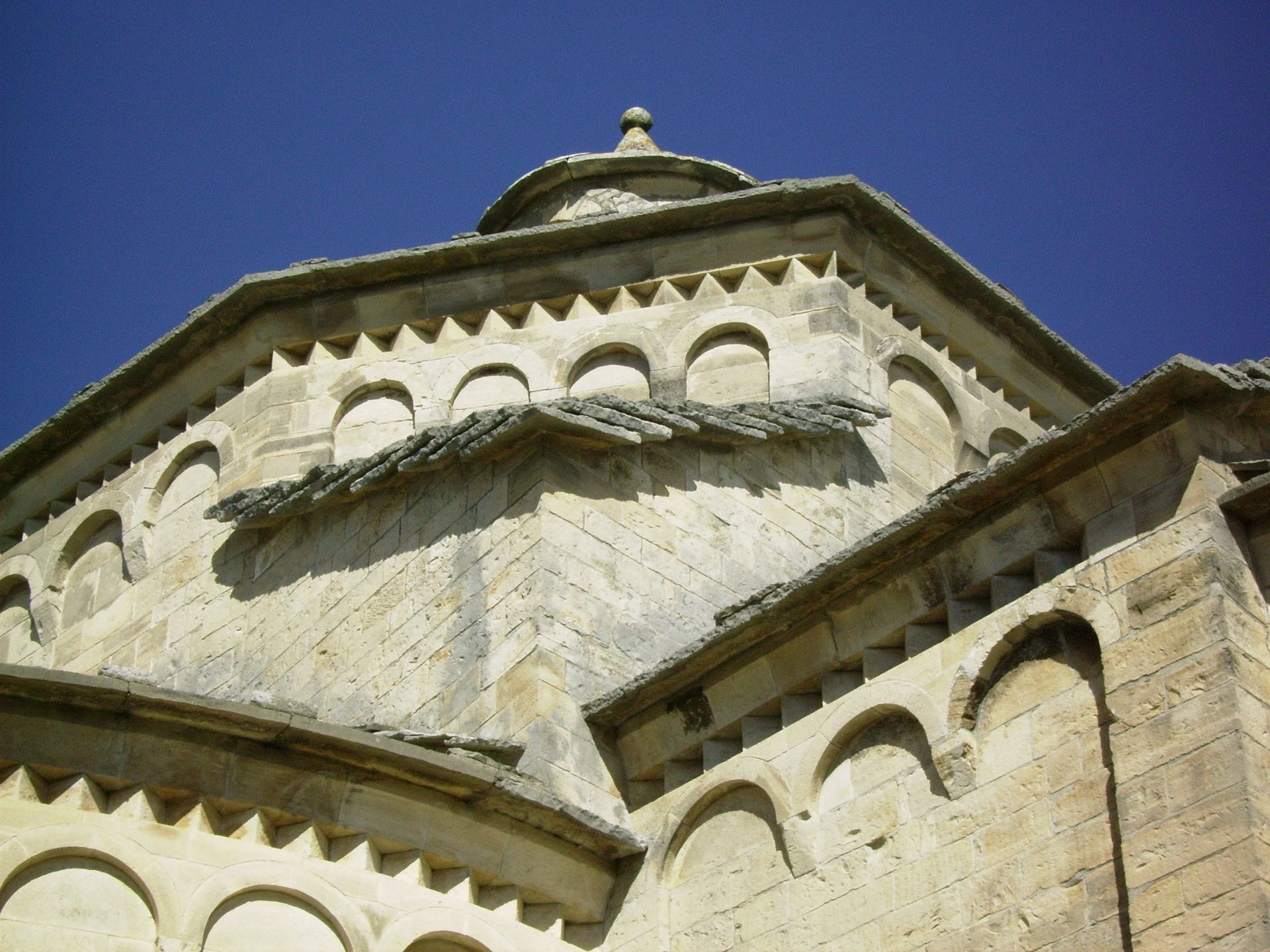
From Place de la Fontaine in Saint-Martin-de-Londres, continue right on D 32 towards mas de la Liquière. At Mas-de-Londres, pass the church and go down to the left. Cross D 122 to go towards La Borie. Continue to Notre-Dame-de-Londres. At the bend, at the foot of the tower, follow the street to the left. Continue and climb right in an open and rocky landscape. The trail reaches Ferrières-les-Verreries then descends towards the old glassworks of Couloubrines. Climb by the Cheval Mort shepherd's path which reaches a crossroads near mas de Claparèdes. Continue towards mas Cazal-Sequier. Cross a hillock that opens onto D 986. Cross it, cross the Alzon and walk along the Hérault to the suspension bridge of Saint-Bauzille-de-Putois.
3
On the suspension bridge of Saint-Bauzille-de-Putois, cross the Hérault, take D 108 to the left for 750 m and, before the bridge, take a path to the right. Leave the ruin and climb the Ternisson pass. Descend towards the village, pass the town hall and church. Cross the Avèze and continue on the road climbing towards Brissac-le-Haut. Pass the old paper mill, cross a wood, and continue on D 1 for 1 km towards Saint-André-de-Buèges. Pass the church and continue to the Vareilles bridge. Before the bridge, climb the track to the right and reach Saint-Jean-de-Buèges.
4
Back in Saint-Jean-de-Buèges, a must-stop under the plane trees at the Bar du Château! The place to be, with incomparable steak and fries (the meat comes from the hiking cows of the Senet family). Take the time to stroll in the alleys climbing to Château de Baulx: beware, Saint-Jean-de-Buèges can create a certain 'addiction'!!!
Access by public transport to St Jean de Buèges is complex (the town is only served on Fridays from Ganges): it is possible to start the hike from Saint-Bauzille-de-Putois or Saint-Martin de Londres. The drawback is then to begin or finish with the longest stage.
The route between Mas-de-Londres and Ferrières-les-Verreries is not recommended in case of high heat: there is no shade.
GR® and GR® de Pays are registered trademarks of FFRandonnée. They designate the routes marked as «GR®», marked with white-red signs; and as «GR® de Pays», marked with yellow-red signs. These routes are creations of FFRandonnée. Unauthorized reproduction of them, as well as the GR® and GR® de Pays trademarks, constitute counterfeiting subject to prosecution. Find all the GR® on mongr.fr
Yellow and red GR de pays
https://www.grandpicsaintloup-tourisme.fr/
Grand Pic Saint-Loup Tourist Office
GRP - FFR
Popularne wycieczki w okolicy
-
4,0
PIC SAINT LOUP HIKE
średniWędrówka 2,64 km -
5,0
DRAILLES HIKE
światłoWędrówka 7,16 km -
RAVIN DES ARCS HIKE
średniWędrówka 3,83 km -
4,0
BOIS DE LÈQUE HIKE
światłoWędrówka 9,34 km -
HIKING THE TOUR DES VILLAGES DU PIC - GR® DE PAYS TOURS IN GRAND PIC SAINT-LOUP
średniWędrówka 47,5 km -
CRETE DE LA TAILLADE AND ROCHER DU CAUSSE HIKE
średniWędrówka 20,2 km -
BOUCLE CYCLO N°10 - BETWEEN THE BUÈGES AND HÉRAULT VALLEYS
światłoJazda na rowerze 37,5 km -
WINE ROUTE IN THE SHADOW OF THE CHATEAU DE MONTFERRAND
Motorrad 49,8 km -
CYCLE LOOP No.5 - THE PIC SAINT-LOUP ROUTE
światłoJazda na rowerze 42,1 km -
WINE ROUTE AROUND THE GORGES DE L'HERAULT
Motorrad 57,9 km
Wędrówki i tropienie


Nie przegap ofert i inspiracji na następne wakacje
Twój adres e-mail została dodana do listy mailingowej.





