


HANNIBAL'S PATH HIKE
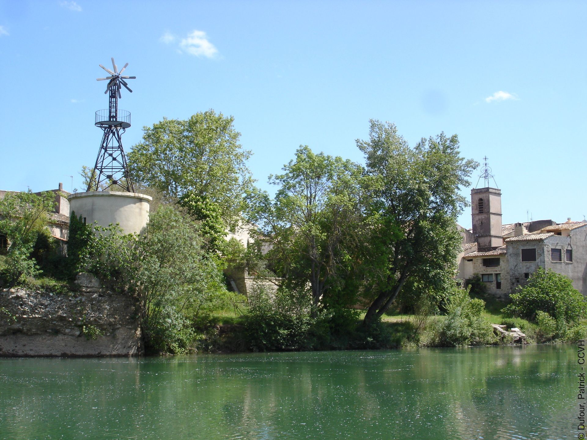
Located south of the Hérault valley, in the heart of the wine-growing plain and on the banks of the Hérault river, the village of Bélarga is set in a landscape of great diversity. Its development and history...
Located south of the Hérault valley, in the heart of the wine-growing plain and on the banks of the Hérault river, the village of Bélarga is set in a landscape of great diversity. Its development and history were closely linked to the proximity of the river and its two tributaries: the Rouviège and the Dardaillon. This short variant of the PR from Rouviège to Dardaillon crosses the Rouviège stream on the so-called 'Hannibal' bridge.


1
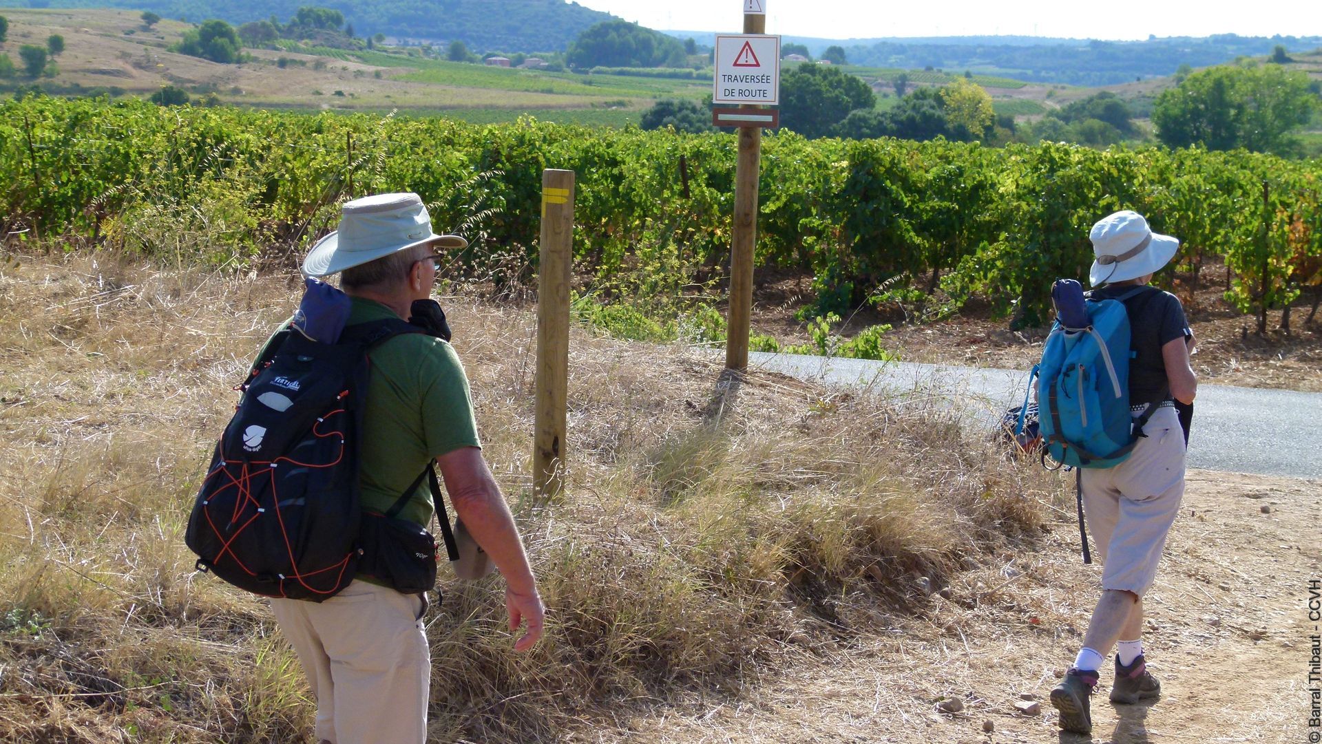
From the parking lot, head towards the river and immediately turn right, cross the Aire plain. Continue to plan du Château, quai de Font Pétourle, above the Hérault. At the end, follow rue de l’église to the small square. Follow it to the right, turn left, pass under the porch, reach the place de la République. Turn left onto avenue de Telon. In the housing estate, turn right and reach the D 32. Cross (caution!). Continue straight on the small road, exit the housing estate.
2
Turn left, cross the Rouviège stream on the bridge. Pass by the bottom of the cemetery and reach the Puilacher road. Go up right for 150 m, take the path to the left among the vineyards. At the dirt track, continue to the right up to an intersection. Climb to the right, cross the road and go straight onto the D 30E10. Cross the Rouviège. Further down, meet the main route at 3.
3
Turn right, return to point 2 then return to the village and the parking lot via the outward route.
In case of emergency, call 112.
D32 Bélarga
D32 Bélarga
Route not passable after heavy rain, exercise caution when crossing roads
Yellow PR
+33 4 67 57 04 50
Community of Communes Hérault Valley
PR - FFR
Popularne wycieczki w okolicy
-
5,0
CIRQUE DE MOUREZE HIKE
średniWędrówka 6,86 km -
5,0
MONT LIAUSSON HIKE
średniWędrówka 7,36 km -
5,0
SAINT ANTOINE HERMITAGE HIKE
światłoWędrówka 9,91 km -
OENORANDO® THE ART AND NATURE TRAIL
średniWędrówka 15,7 km -
COURTINALS TRAIL HIKE
światłoWędrówka 2,36 km -
OENORANDO® OF THE VINEYARDS AND VOLCANOES OF FONTES
średniWędrówka 11,2 km -
CYCLE LOOP No. 26 - THAU POND, ABBEY OF VALMAGNE AND PÉZENAS
średniJazda na rowerze 63,1 km -
VINEYARDS AND VOLCANOES TRAIL OF FONTES
światłoTrailrunning 11,2 km -
VILLENEUVETTE HIKE
światłoWędrówka 3,08 km -
OENORANDO® OF THE VISSOU RIDGES
średniWędrówka 11,8 km
Wędrówki i tropienie


Nie przegap ofert i inspiracji na następne wakacje
Twój adres e-mail została dodana do listy mailingowej.