







Tour of Tarn on Horseback

Poziom trudności: 3
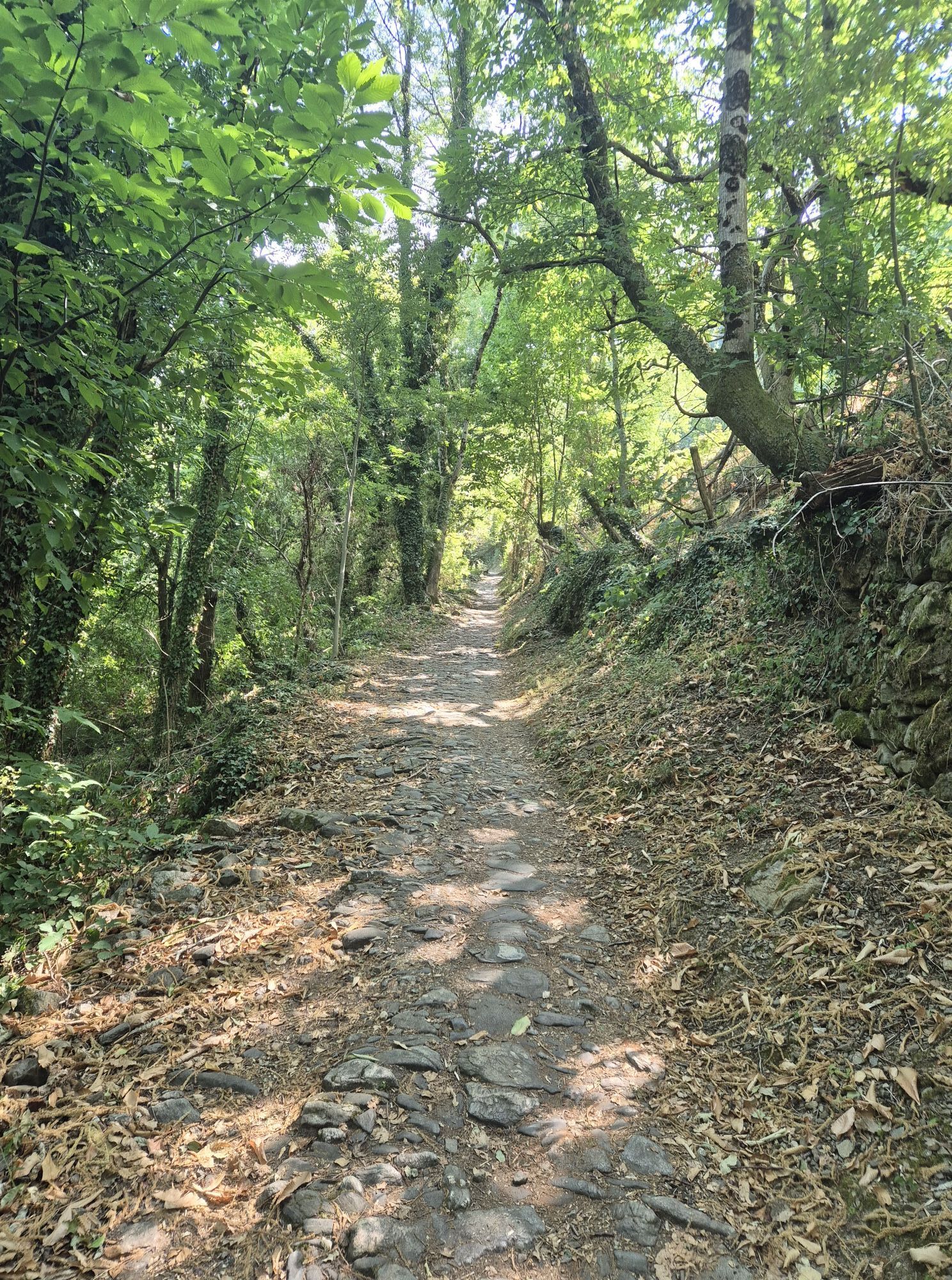
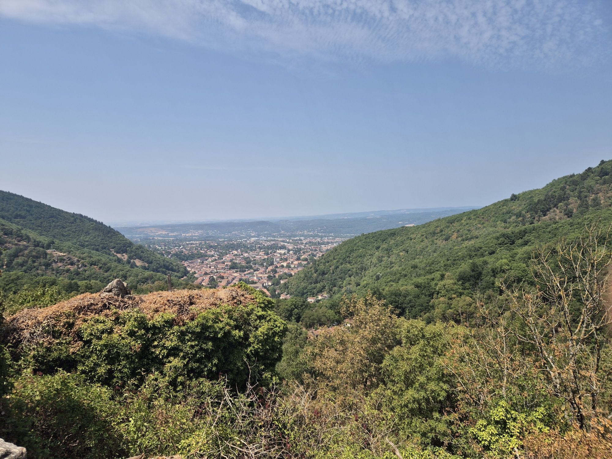
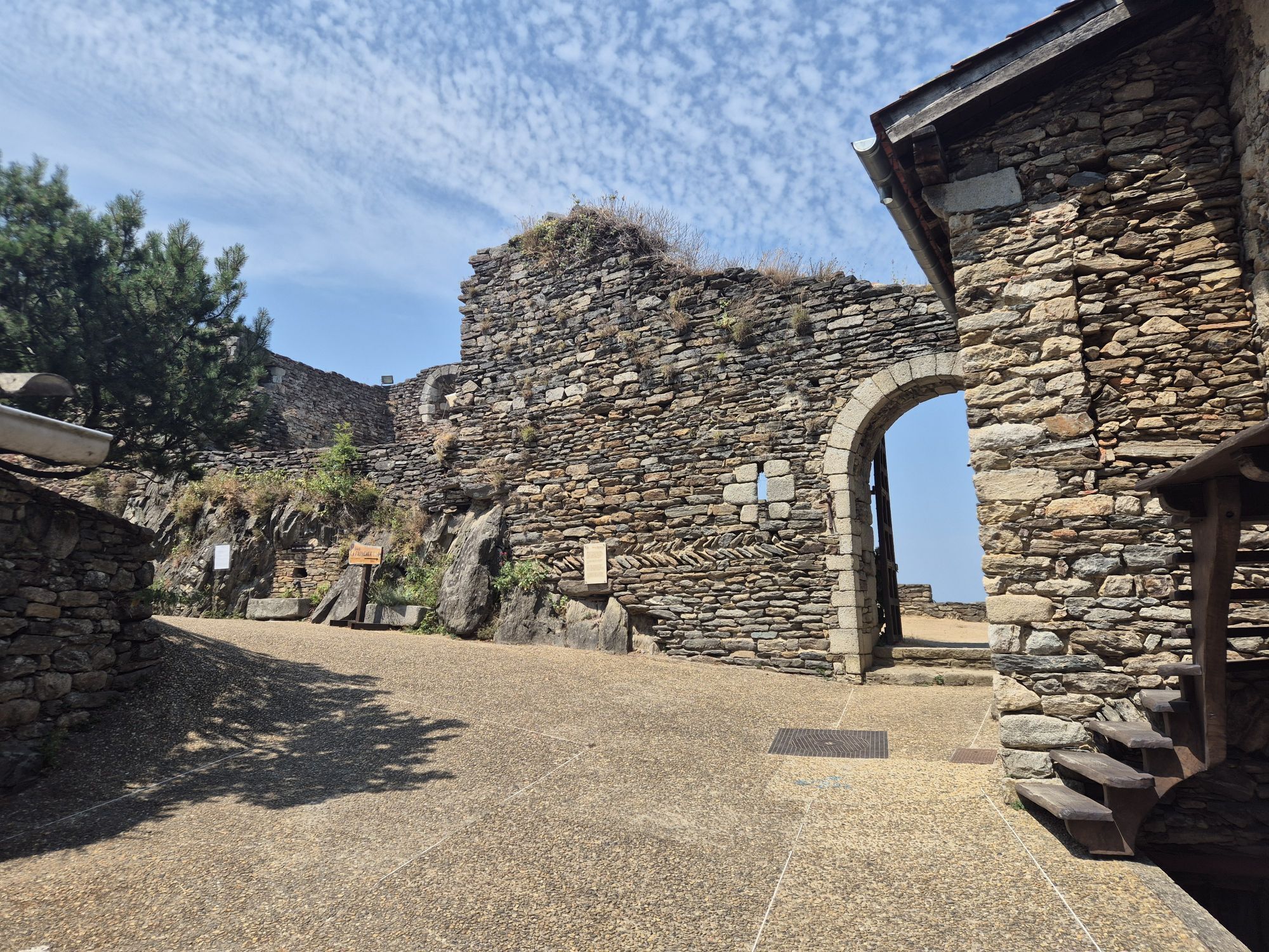
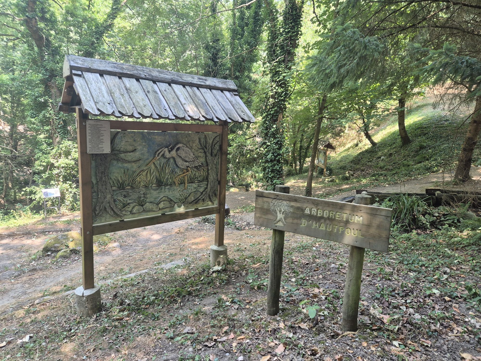
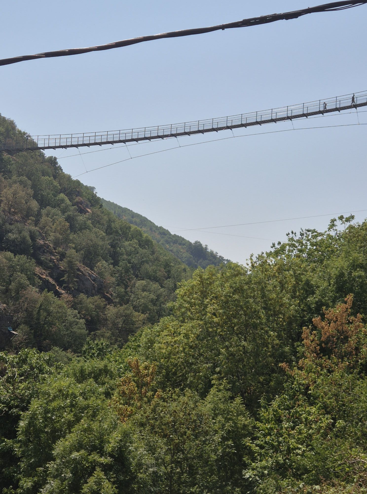
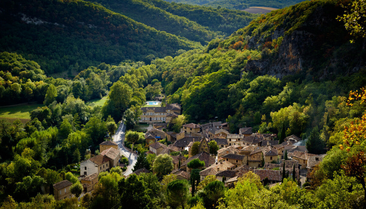
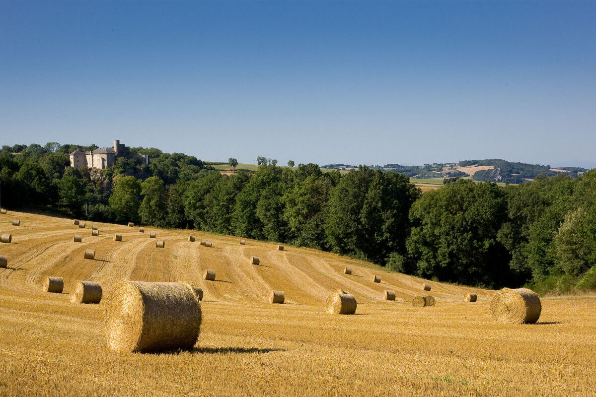
From the Montagne Noire to the land of the Bastides, passing through the Gaillac vineyard, the Tarn valley, the Sidobre and the Monts de Lacaune, you will be amazed by the diversity of our landscapes.
...From the Montagne Noire to the land of the Bastides, passing through the Gaillac vineyard, the Tarn valley, the Sidobre and the Monts de Lacaune, you will be amazed by the diversity of our landscapes.
A route that relies largely on the GR® network and can be explored at your convenience over one or several days.
A must-do with your horse or by joining a ride from one of the 10 equestrian tourism centres affiliated with the Tarn Departmental Committee of Equestrian Tourism.


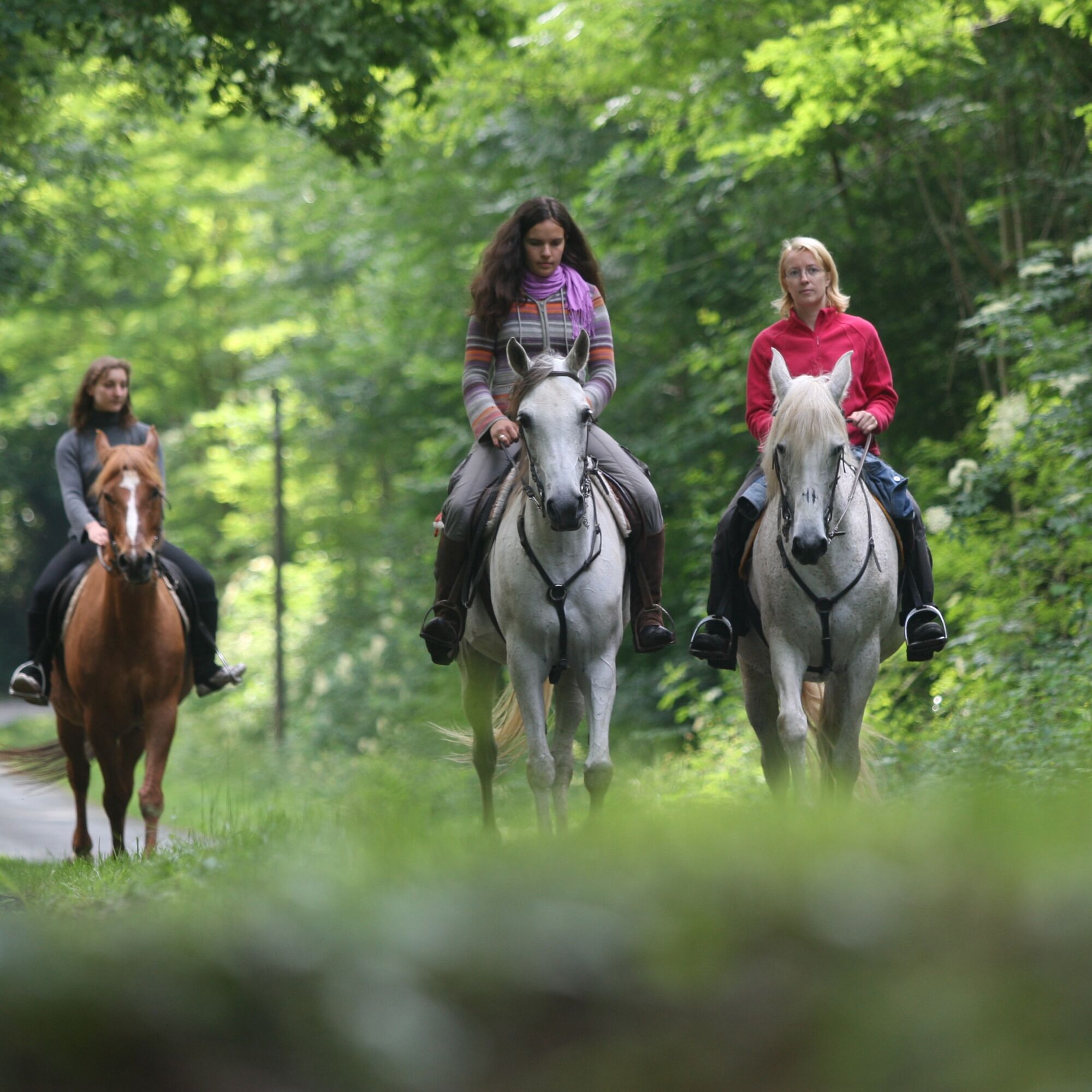

When the Tarn on Horseback route is shared with hiking routes, follow the waymarks corresponding to the hiking trails (GR, GRP or PR) and the "Tarn on Horseback" signage. When Tarn on Horseback is the only route, follow the orange waymarking.
Always follow the "Tarn on Horseback" signage (arrows). Refer to the GPS tracks or detailed stage descriptions.
Tak
For obvious safety reasons, wearing a riding helmet or hard hat is strongly recommended during the activity.
Emergency number: 112
3
To find out more about our destination, visit our website
The route partially crosses or runs alongside departmental roads. In the most exposed areas, signs inform motorists of the possible presence of riders. Be careful.
Popularne wycieczki w okolicy
- 5,0
Las Planques
ciężkiWędrówka 17 km Sentier des Cabannes
światłoWędrówka 8,49 kmL'Ambialade, sentier du patrimoine
światłoWędrówka 3,94 km"Le chemin des mineurs" Greenway
średniWędrówka 15,6 kmBike route - C6 From the Ségala plateau to the Tarn valley
ciężkiDroga rowerowa 70,6 kmLou cami de Theoullet
światłoWędrówka 7,60 kmThe meander of Marsal
światłoWędrówka 6,66 kmDe Las Planque à Thuriès
ciężkiWędrówka 16,9 kmTour du Tarn on horseback: Sainte-Gemme / Saussenac
ciężkiJazda konna 22,3 kmLa Borie Blanche
światłoWędrówka 6,02 km
Wędrówki i tropienie


Nie przegap ofert i inspiracji na następne wakacje
Twój adres e-mail została dodana do listy mailingowej.





