







Tour du Tarn on horseback: Paulinet / Mont-Roc
Poziom trudności: 3
The Tarn on horseback route largely relies on the network of hiking trails.
It is important to follow the hiking trail markings and the indications provided by the specific "Le Tarn à cheval" signage and...
It is important to follow the hiking trail markings and the indications provided by the specific "Le Tarn à cheval" signage and to refer to the GPS tracks or the detailed description of the markings.

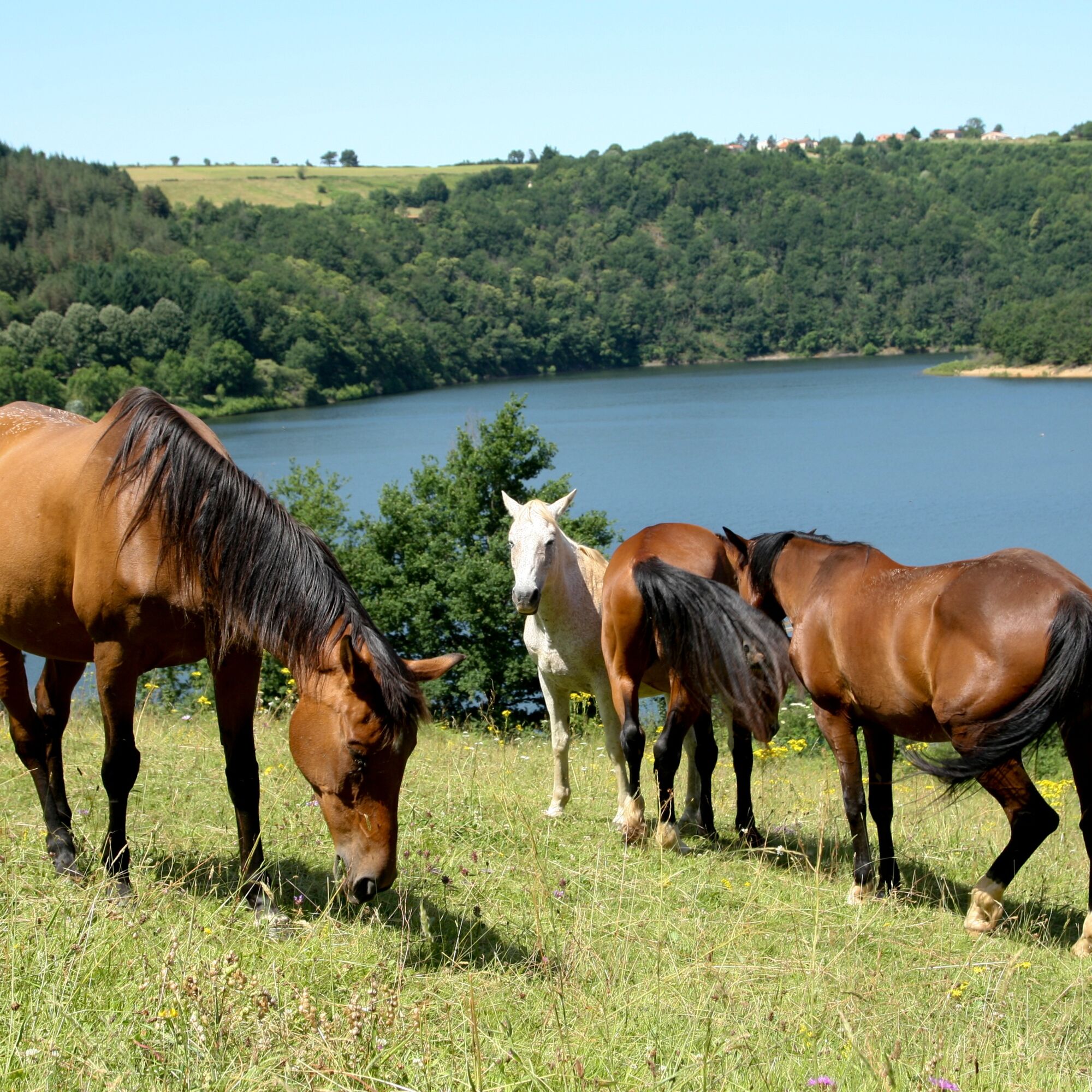
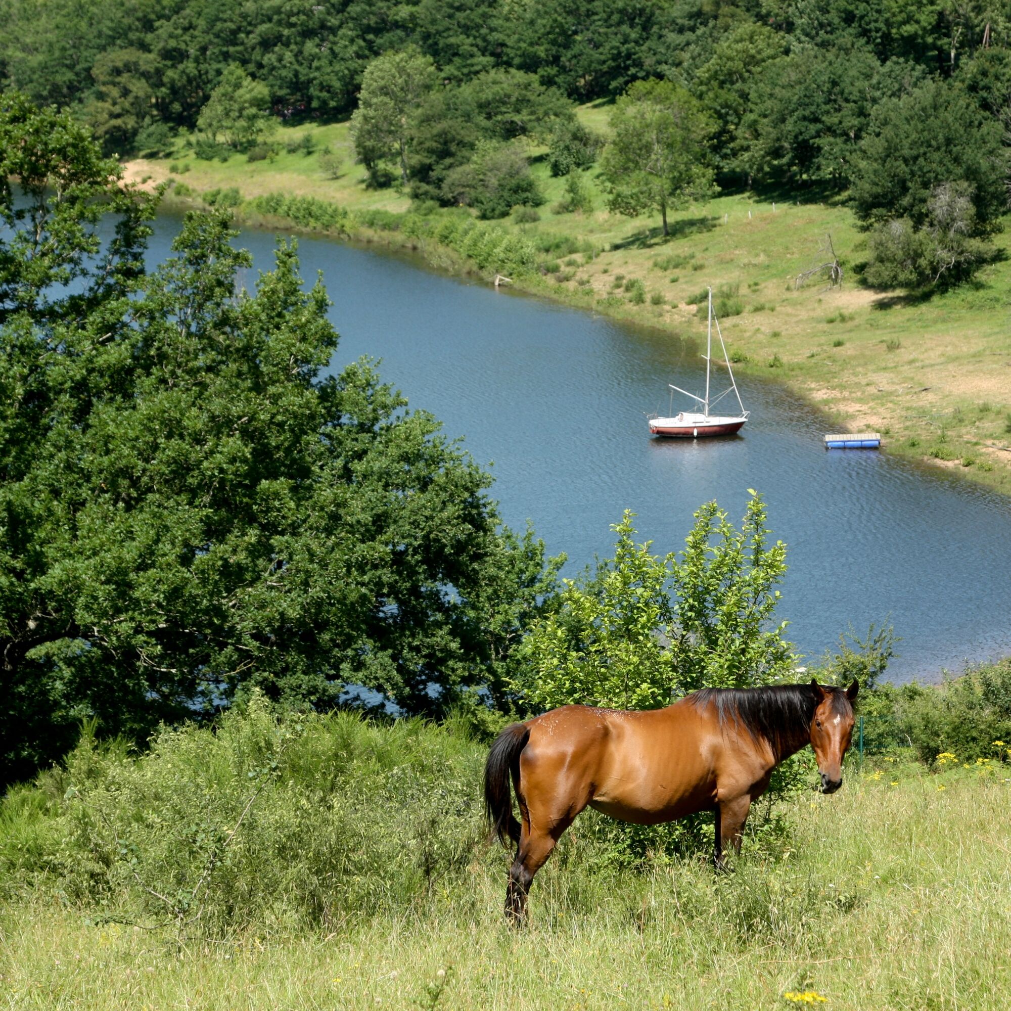
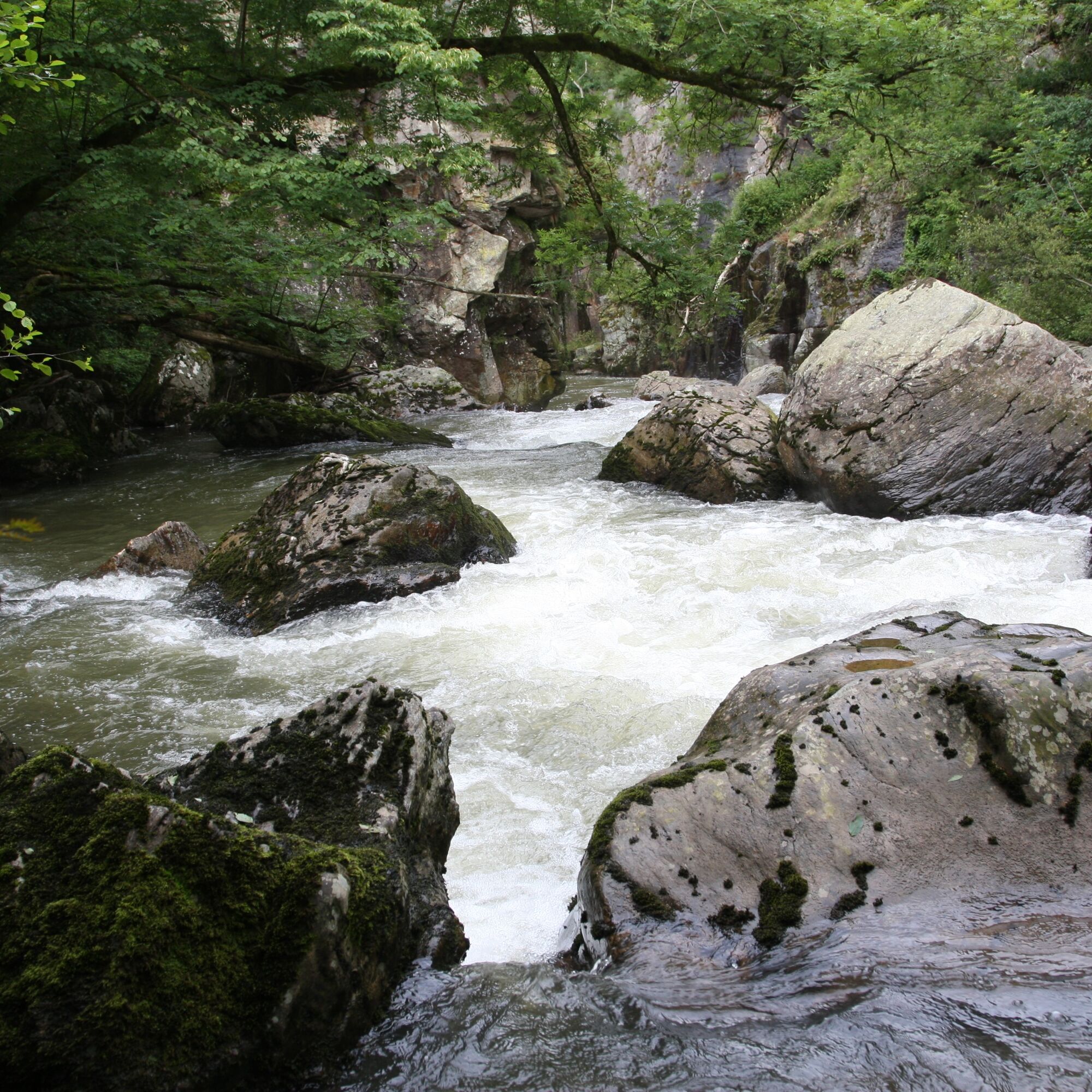

Follow the GR 36 (white and red markings) and the "Le Tarn à cheval" signage (arrows).
For obvious safety reasons, wearing a riding helmet or hard hat is strongly recommended during practice.
Emergency number: 112
3
An error on this sheet? Write to the owner referencing this information:
Sheet name: Tour du Tarn on horseback: Paulinet / Mont-Roc | Sheet ID: 4672535 | URL (link) of this Outdooractive page.
The route leads to crossing or partially following departmental roads. In the most exposed areas, signs inform drivers of the possible presence of riders. Be careful.
Popularne wycieczki w okolicy
-
Hikes in the Trivalle and their variations
światłoWędrówka 6,92 km -
Le Sentier de Calle
światłoWędrówka 7,19 km -
Camin de Comba Granda
średniWędrówka 11,2 km -
Sentier des Cabannes
światłoWędrówka 8,49 km -
Tour du Tarn à cheval : Mont-Roc / Montredon-Labessonnié
ciężkiJazda konna 20,2 km -
Path of the crests of Bau del Poun
światłoWędrówka 9,25 km -
le sentier du Lac
światłoWędrówka 9,95 km -
Tour du Tarn riding: Ambialet / Alban
ciężkiJazda konna 26,0 km -
GR36 ® - Crossing Tarn from North to South
ciężkiWędrówka 236,1 km -
L'Ambialade, sentier du patrimoine
światłoWędrówka 3,94 km

Wędrówki i tropienie


Nie przegap ofert i inspiracji na następne wakacje
Twój adres e-mail została dodana do listy mailingowej.





