
MTB route no.25 Le Bonnan
ciężki
Pobierz tę trasę na swój telefon komórkowy
MTB route no.25 Le Bonnan
ciężki
Mountainbike
18,05
km
Zeskanuj kod QR i rozpocznij nawigację w aplikacji bergfex.


Wędrówki i tropienie




MTB route no.25 Le Bonnan
ciężki
Odległość
18,0
km
Czas trwania
02:02
h
Ascent
369
hm
Poziom morza
135 -
457
m

Nawiguj po trasie w aplikacji
Zainstaluj aplikację za darmo i śledź trasę dzięki nawigacji GPS i funkcji śledzenia.
Skorzystaj już teraz z funkcji „ bergfex ” w aplikacji
Zeskanuj kod QR za pomocą aparatu
Po zainstalowaniu aplikacji treść otworzy się od razu. Jeśli jeszcze nie masz tej aplikacji, zostaniesz przekierowany do strony, z której możesz ją bezpłatnie pobrać.
Ścieżka do pobrania
MTB route no.25 Le Bonnan
ciężki
Mountainbike
18,05
km
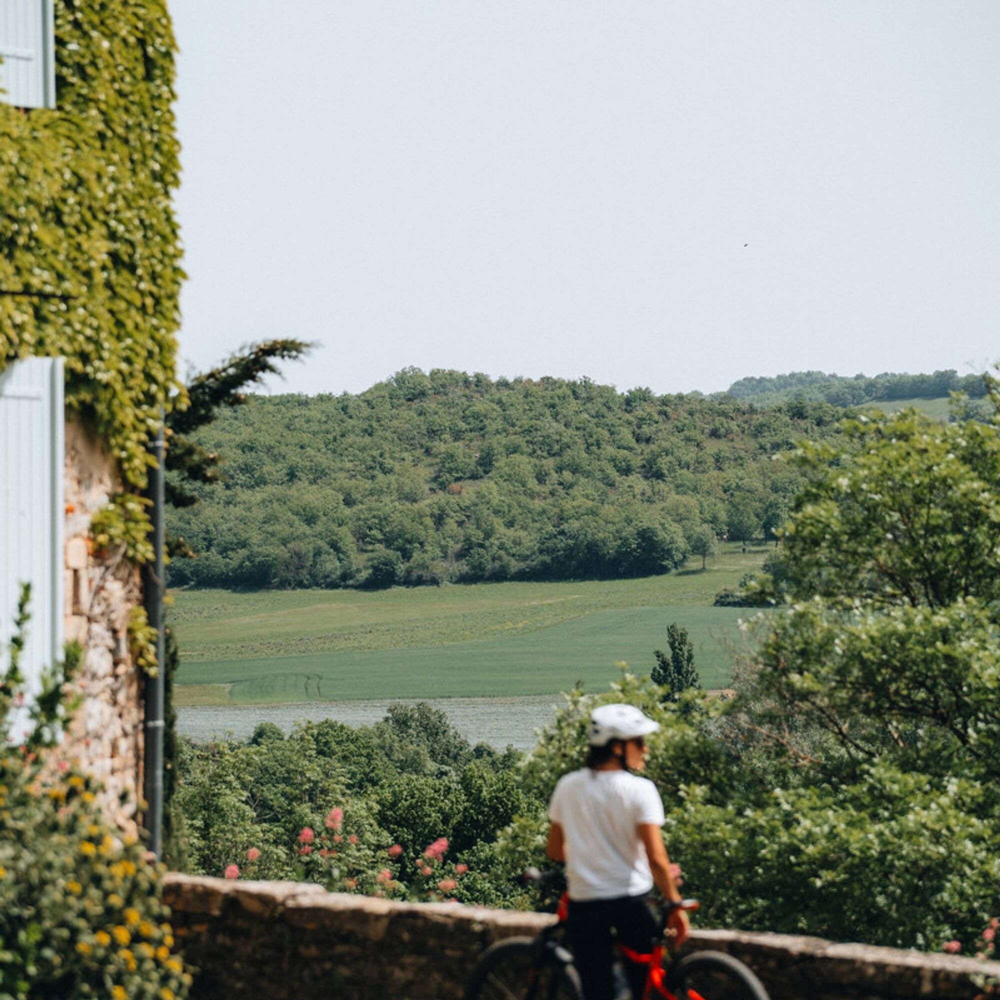
Starting from Roussayrolles, you will discover the water source of the "Mère de Dieu" fountain and the Grézelles forest, as well as beautiful panoramas from the heights of Marnaves.
You will descend via...
Opis
Starting from Roussayrolles, you will discover the water source of the "Mère de Dieu" fountain and the Grézelles forest, as well as beautiful panoramas from the heights of Marnaves.
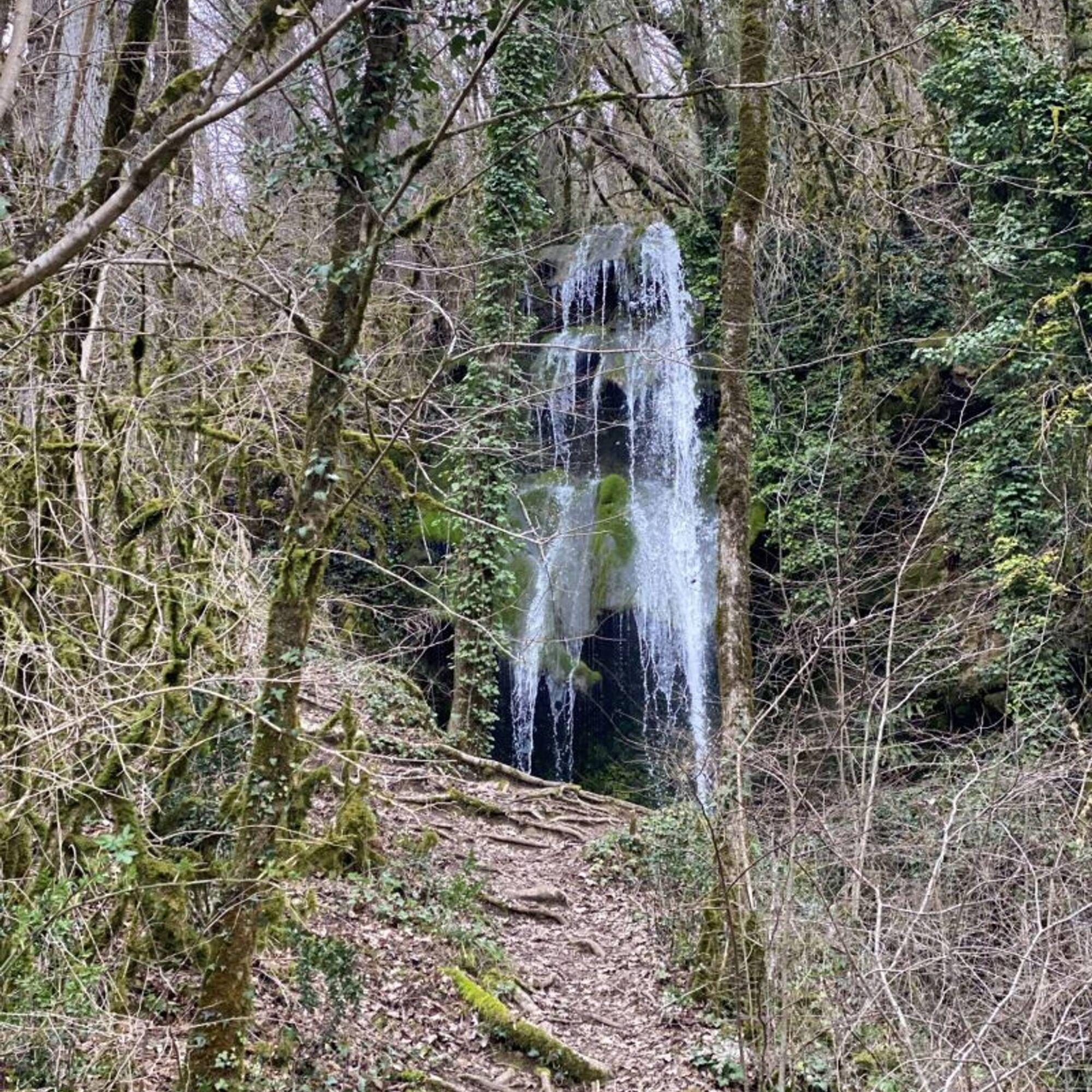
You will descend via the Causse trails to the village of Milhars, where you can eat or refresh yourself at the bar-restaurant "Le Repère" before heading towards the beautiful Bonnan Valley, a "Sensitive Natural Area" in the Tarn department. You can admire the magnificent petrified waterfall and its tufa formations before ascending a rocky path back to the village of Roussayrolles.
You will descend via the Causse trails to the village of Milhars, where you can eat or refresh yourself at the bar-restaurant "Le Repère" before heading towards the beautiful Bonnan Valley, a "Sensitive Natural Area" in the Tarn department. You can admire the magnificent petrified waterfall and its tufa formations before ascending a rocky path back to the village of Roussayrolles.
Trasa
Roussayrolles
(415 m)
Wioska
0,0 km
Lescoulie
(393 m)
Korytarz/teren
4,5 km
Milhars
(138 m)
Wioska
8,0 km
Cascade Pétrifiante de Bonnan
(194 m)
Wodospad
11,9 km
Caumonds
(363 m)
Korytarz/teren
14,9 km
Roussayrolles
(415 m)
Wioska
18,0 km
Trasa
MTB route no.25 Le Bonnan
ciężki
Mountainbike
18,05
km
Roussayrolles
(415 m)
Wioska
0,0 km
Lescoulie
(393 m)
Korytarz/teren
4,5 km
Milhars
(138 m)
Wioska
8,0 km
Cascade Pétrifiante de Bonnan
(194 m)
Wodospad
11,9 km
Caumonds
(363 m)
Korytarz/teren
14,9 km
Roussayrolles
(415 m)
Wioska
18,0 km
Autor
Dostarczone przez Tarn Tourisme
Wycieczkę MTB route no.25 Le Bonnan zapewnia outdooractive.com.


Informacje o trasie
Trasa
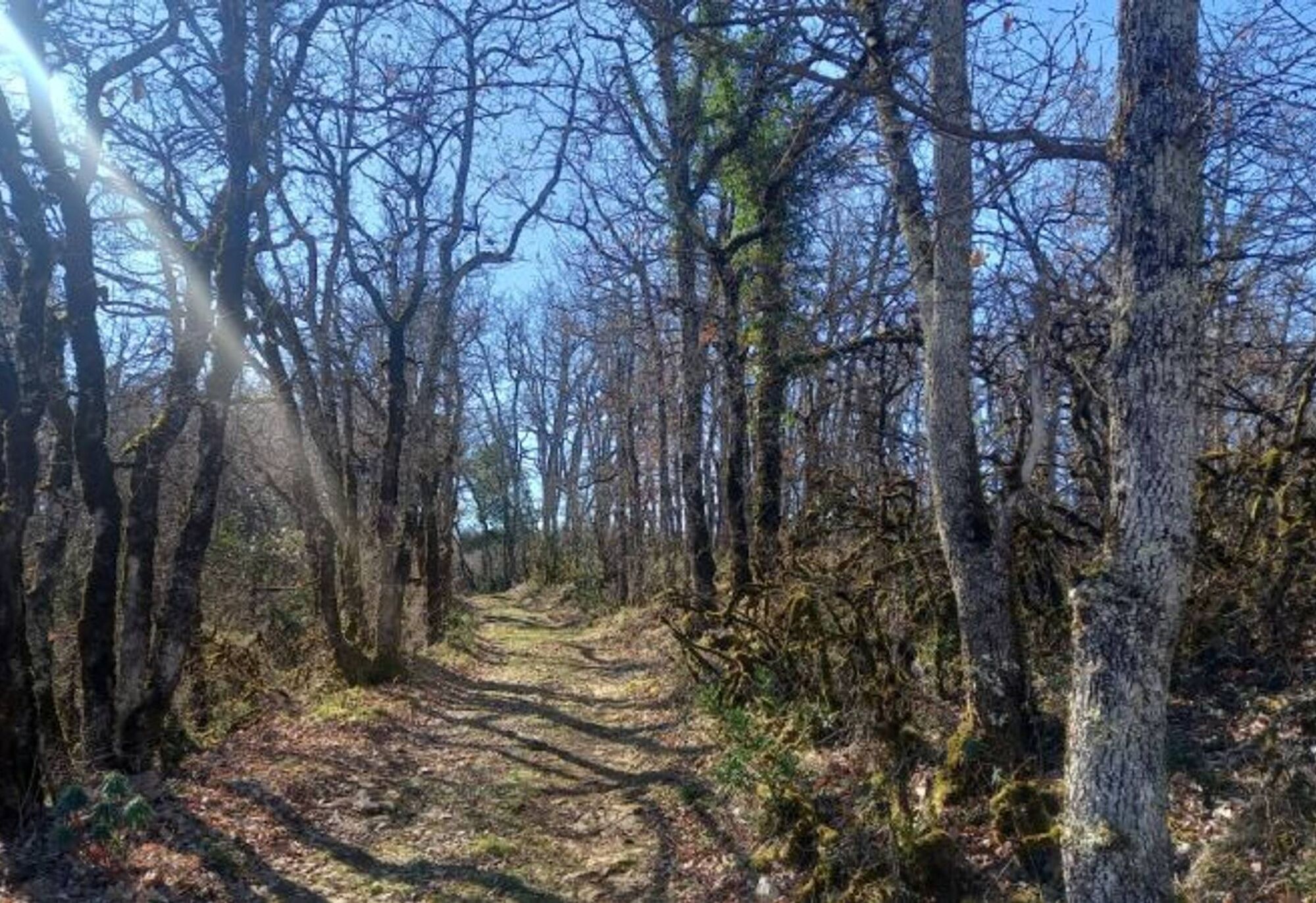
From the Coustou parking lot, take the path leading to the "Mère de Dieu" spring before crossing the Grézelles forest and emerging onto the Pech de Marnaves.
Descend towards Milhars via the trails. In the village, follow the path that runs alongside the Cérou to the La Garenne mill before ascending through the Bonnan Valley. Follow the Bonnan stream, and you will see the tufa waterfall on your right.
Next, ascend the path to the place called "Fourcou." Turn right towards the Pas de la Clède and climb back to Roussayrolles via a rocky path. Finally, return to the village, passing the small cross of Nougayrols and the Foun Naouto crossroads with its stone picnic table and weeping willow.
Dodatkowe informacje i wskazówki
Dodatkowe informacje
Intermediate
Nie ma jeszcze recenzji
Popularne wycieczki w okolicy
-
4,0
Maraval Trail - Short Variant
średniWędrówka 5,02 km -
5,0
Chemin de la Vère au Saint-Hussou
średniWędrówka 14,2 km -
Sentier des dunes de Maraval aux Touardes
średniWędrówka 8,57 km -
The Suquets of Penne
światłoWędrówka 10,3 km -
Maraval trail - dune section
światłoWędrówka 1,72 km -
From the Cérou to the Aveyron
średniWędrówka 10,2 km -
Sentier de découverte de Les Cabannes "Sur les traces des bâtisseurs"
światłoWędrówka 2,63 km -
Lacapelle Sainte-Lucie circuit
średniWędrówka 11,5 km -
Cordes heritage trail
średniWędrówka 14,8 km -
Téroundel path (Sentier du Téroundel)
światłoWędrówka 2,58 km
Wędrówki i tropienie

Ponad 550.000 propozycji wycieczek, szczegółowe mapy i intuicyjny planer tras sprawiają, że aplikacja jest niezbędna dla wszystkich entuzjastów przyrody.

Nie przegap ofert i inspiracji na następne wakacje
Zapisz się do newslettera
Błąd
Wystąpił błąd. Spróbuj ponownie.
Dziękujemy za rejestrację
Twój adres e-mail została dodana do listy mailingowej.
Wycieczki po całej Europie
Austria
Szwajcaria
Niemcy
Włochy
Słowenię
Francja
Holandia
Belgia
Polska
Liechtenstein
Czechy
Słowacja
Hiszpania
Chorwacja
Bośnia i Hercegowina
Luksemburg
Andorra
Portugalia
Islandia
Wielka Brytania
Irlandia
Grecja
Albania
Macedonia Północna
Malta
Norwegia
Czarnogóra
Mołdawia
Kosowo
Węgry
San Marino
Rumunia
Estonia
Łotwa
Białoruś
Cypr
Litwa
Serbia
Bułgaria
Monako
Dania
Szwecja
Finlandia


