







Mountain Bike Route 4: The Salvagnac Hills
Salvagnac is surrounded by sunlit hills and verdant valleys, giving the landscape a bit of a Tuscan feel. The village has preserved the towers of its castle (14th and 15th centuries) and a beautiful cross...
Salvagnac is surrounded by sunlit hills and verdant valleys, giving the landscape a bit of a Tuscan feel. The village has preserved the towers of its castle (14th and 15th centuries) and a beautiful cross from 1514 in its church, decorated by the fresco artist Nicolaï Greschny.

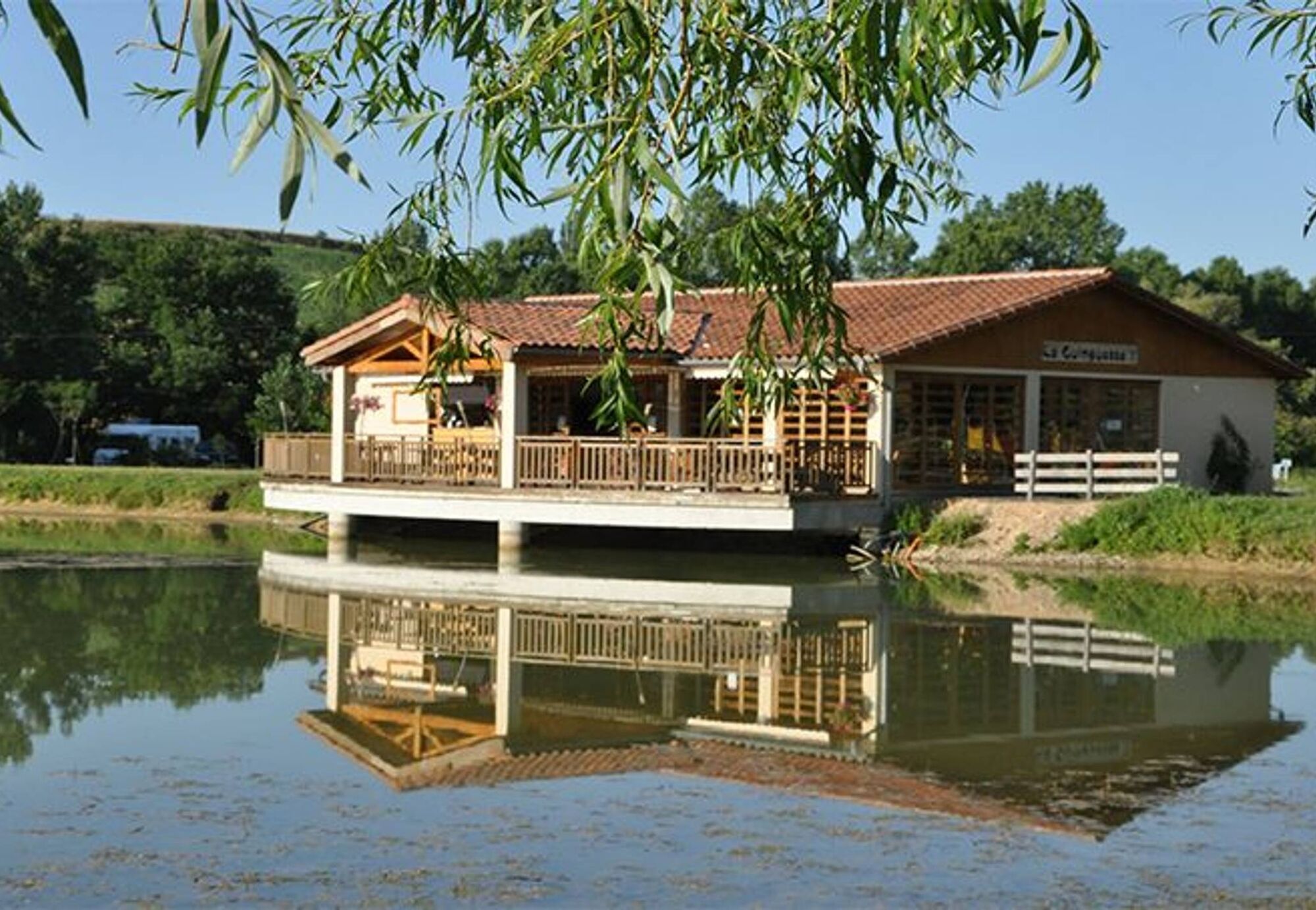
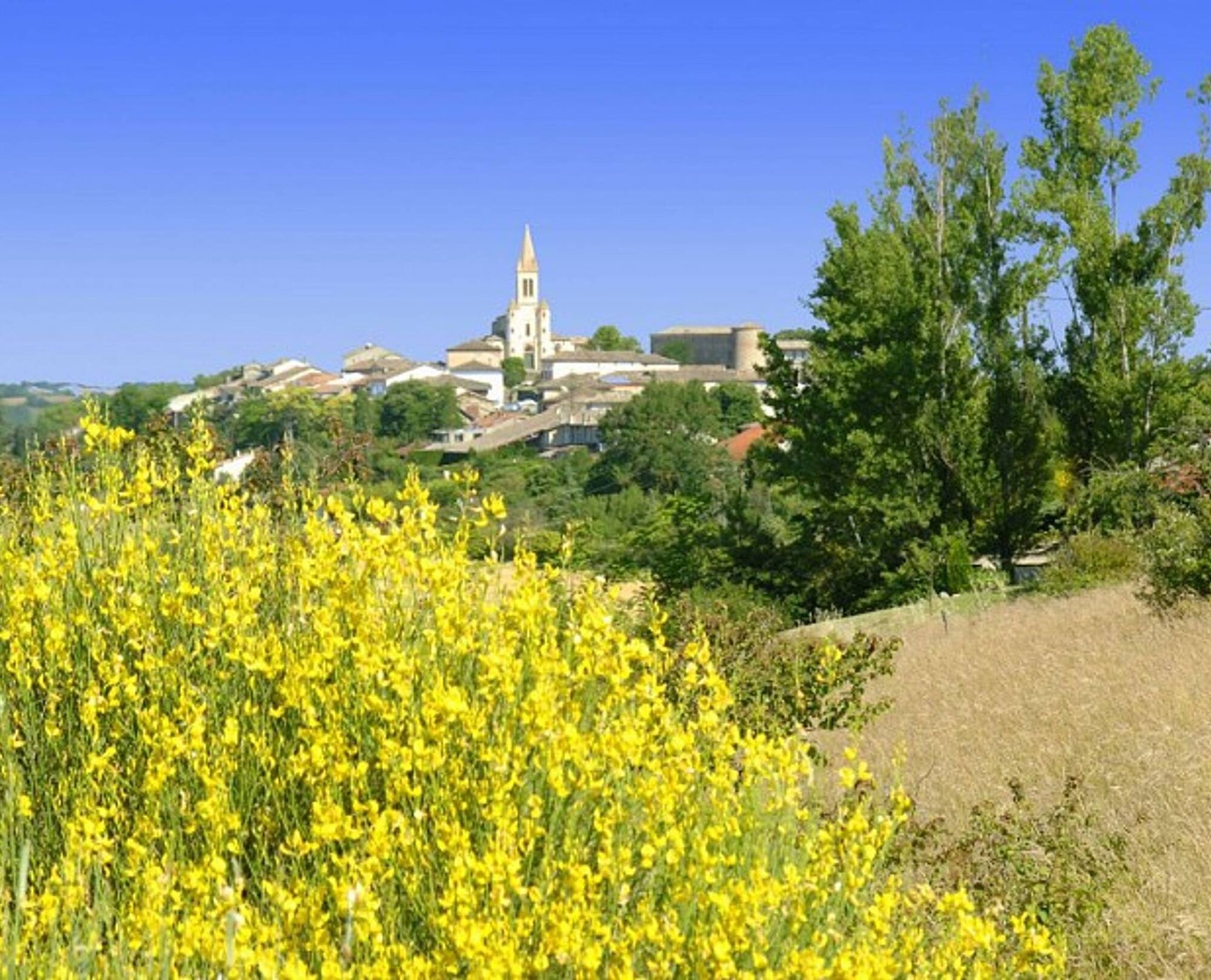

Starting from the Les Sourigous Leisure Center, you cross the Tescou River via the footbridge to reach the hills. You cross several valleys to arrive in the forest. From wide trails to rocky paths, you make your way to the Vère Valley. You pass above Laval and return by following the GR46 trail that crosses the hamlet of Lacapelle. You climb the trail to reach the Sivens Forest and pass by the Chapelle d’Oustrières (picnic table for a break). You finish by descending towards the Tescou Valley, following it until you reach the lake.
Intermediate
Popularne wycieczki w okolicy
-
Mountain Biking Trail: Grande Boucle Bastides and Vineyards of Gaillac
ciężkiMountainbike 144,4 km -
Vallons et forêts
ciężkiWędrówka 30,1 km -
The Auzerals Lake
średniWędrówka 13,9 km -
Conques Toulouse route - From Saint-Martin-Laguépie to Saint-Sulpice-la-Pointe
średniWędrówka 84,3 km -
Sentier de Mespel
średniWędrówka 5,73 km -
Tour du Tarn on horseback: Lisle-sur-Tarn / Puycelsi
ciężkiJazda konna 28,4 km -
GR46 ® - The Albigensian Bastides
ciężkiWędrówka 114,3 km -
Oenorando® Vignes & clochers
światłoWędrówka 8,16 km -
Plain trail
ciężkiWędrówka 20,5 km -
Tarn Horse Route: Puycelsi / Bruniquel
średniJazda konna 11,9 km
Wędrówki i tropienie


Nie przegap ofert i inspiracji na następne wakacje
Twój adres e-mail została dodana do listy mailingowej.





