
Circuit Uni'vertrail n°3 : Les deux Lacs
średni
Pobierz tę trasę na swój telefon komórkowy
Circuit Uni'vertrail n°3 : Les deux Lacs
średni
Trailrunning
18,56
km
Zeskanuj kod QR i rozpocznij nawigację w aplikacji bergfex.


Wędrówki i tropienie





Circuit Uni'vertrail n°3 : Les deux Lacs
średni
Odległość
18,6
km
Czas trwania
03:07
h
Ascent
442
hm
Poziom morza
329 -
602
m
Ścieżka do pobrania
Circuit Uni'vertrail n°3 : Les deux Lacs
średni
Trailrunning
18,56
km
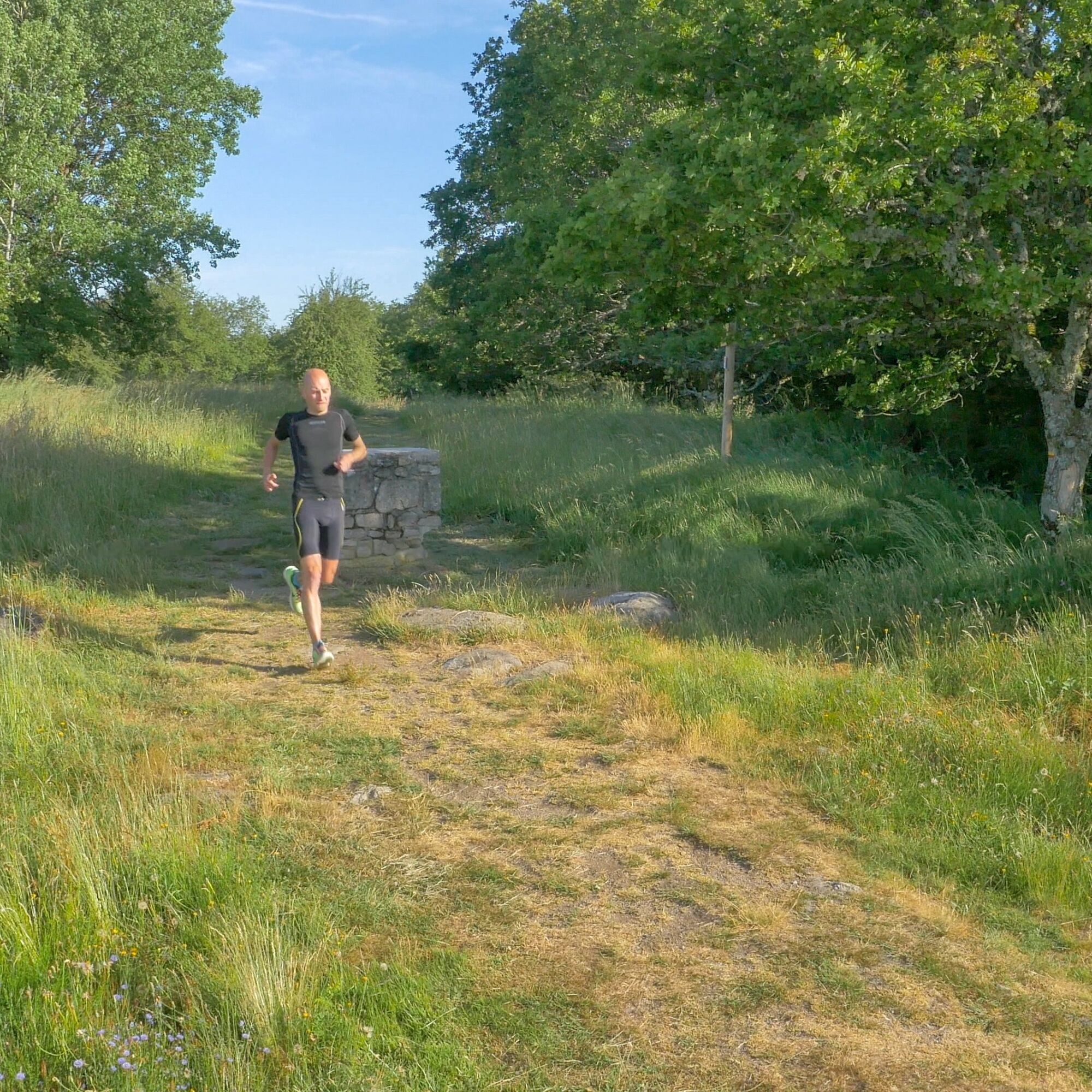
The start of the GR4 is tough and requires a warm-up.At km4, you'll come across a surprising high-altitude fountain at 609m. Then a long descent takes you to the Chauverne bridge, back on the right bank....
Opis
The start of the GR4 is tough and requires a warm-up.
At km4, you'll come across a surprising high-altitude fountain at 609m. Then a long descent takes you to the Chauverne bridge, back on the right bank. Admire the view (km11) over the Roche Talamy dam!
Don't forget to bring your food and drink with you on this tour.
Trasa
Châtelus-le-Marcheix
(388 m)
Wioska
0,1 km
Fontcluse
(602 m)
Źródło
4,0 km
Châtelus-le-Marcheix
(388 m)
Wioska
15,8 km
Trasa
Circuit Uni'vertrail n°3 : Les deux Lacs
średni
Trailrunning
18,56
km
Châtelus-le-Marcheix
(388 m)
Wioska
0,1 km
Fontcluse
(602 m)
Źródło
4,0 km
Châtelus-le-Marcheix
(388 m)
Wioska
15,8 km
Autor
Dostarczone przez Tourisme Creuse
Wycieczkę Circuit Uni'vertrail n°3 : Les deux Lacs zapewnia outdooractive.com.


Informacje o trasie
Odpowiedni dla wózków inwalidzkich
Tak
Dodatkowe informacje i wskazówki
Dodatkowe informacje
OT Monts et Rivières Ouest Creuse https://www.tourisme-creuse.com/monts-et-rivieres-ouest-creuse/
Wskazówki
Nie ma jeszcze recenzji
Popularne wycieczki w okolicy
-
5,0
From Fursac to Paulhac Fc5
światłoWędrówka 8,39 km -
Bike loop 50 - Saint-Dizier-Leyrenne and the Thaurion valley
średniDroga rowerowa 19,1 km -
Le Puy de Roche-guette CM7
średniMountainbike 16,7 km -
Mountain bike route no. 2 - Saint Goussaud
światłoMountainbike 10,1 km -
Circuit N°63 CC : Sentier "Histoire et Patrimoine"
ciężkiJazda konna 27,6 km -
Circuit N°63 CC : Sentier "Histoire et Patrimoine" - Variante Est
średniJazda konna 18,6 km -
Circuit pédestre N°58 : "L'Or des Gaulois"
światłoWędrówka 11,2 km -
Gravel noir n°4 "Le M-Roc"
ciężkiMountainbike 77,1 km -
Gravel rouge n°3 - "L'enjambée du Thaurion"
ciężkiMountainbike 51,9 km -
Circuit N°63 CC : Sentier "Histoire et Patrimoine" - Variante Ouest
średniJazda konna 14,0 km
Wędrówki i tropienie

Ponad 550.000 propozycji wycieczek, szczegółowe mapy i intuicyjny planer tras sprawiają, że aplikacja jest niezbędna dla wszystkich entuzjastów przyrody.

Nie przegap ofert i inspiracji na następne wakacje
Zapisz się do newslettera
Błąd
Wystąpił błąd. Spróbuj ponownie.
Dziękujemy za rejestrację
Twój adres e-mail została dodana do listy mailingowej.
Wycieczki po całej Europie
Austria
Szwajcaria
Niemcy
Włochy
Słowenię
Francja
Holandia
Belgia
Polska
Liechtenstein
Czechy
Słowacja
Hiszpania
Chorwacja
Bośnia i Hercegowina
Luksemburg
Andorra
Portugalia
Islandia
Wielka Brytania
Irlandia
Grecja
Albania
Macedonia Północna
Malta
Norwegia
Czarnogóra
Mołdawia
Kosowo
Węgry
San Marino
Rumunia
Estonia
Łotwa
Białoruś
Cypr
Litwa
Serbia
Bułgaria
Monako
Dania
Szwecja
Finlandia





