







Heart trail Ilirska Bistrica
THE trail OF THE HEART" was established, marked, arranged. has collected the consent of the owners and is regularly maintained by our Coronary Society Ilirska Bistrica. The route has become recognizable...
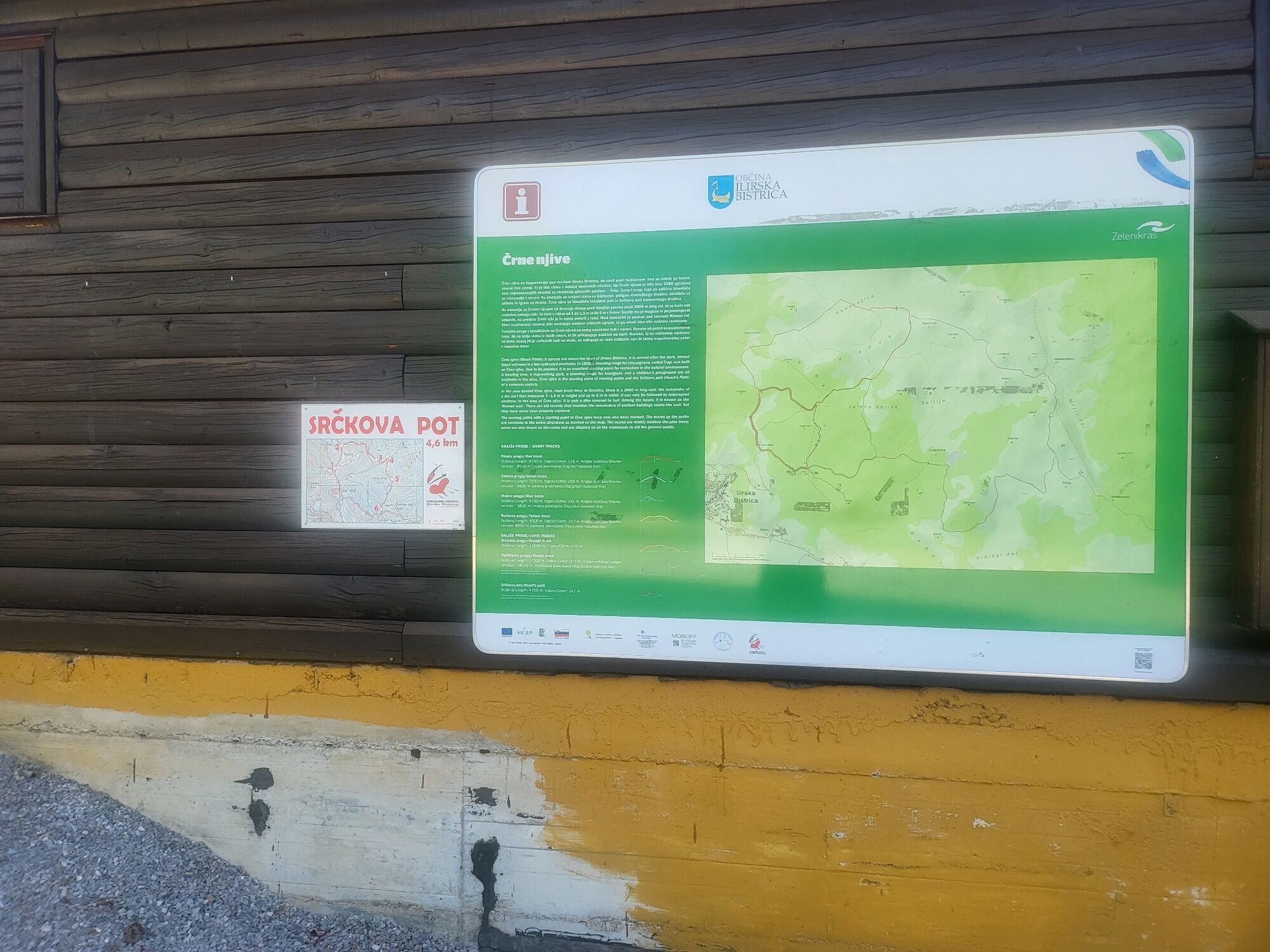
THE trail OF THE HEART" was established, marked, arranged. has collected the consent of the owners and is regularly maintained by our Coronary Society Ilirska Bistrica. The route has become recognizable not only for the members of the association, but it is also liked and often used by other hikers. The starting point of SrÄkova poti is 2 km above the city, 50 m from the paved road Il. Bistrica – SvišÄaki. There is a large parking lot next to the log cabin. On the wall of the log cabin, there is a clear map board with the label SRÄKOVA POT - Coronarno društvo Ilir. Bistrica, with a sketch of the route. The route leads through pine forests and is specially marked with signs SRÄKOVA POT (from 1 to 6). The route is circular, the length of the route is 4.9 km and it has a height difference of 137 m. Refreshments are available in the log cabin at the beginning or at the end of the trail. The route also allows driving with a personal car, if this is necessary for help and support for less able hikers

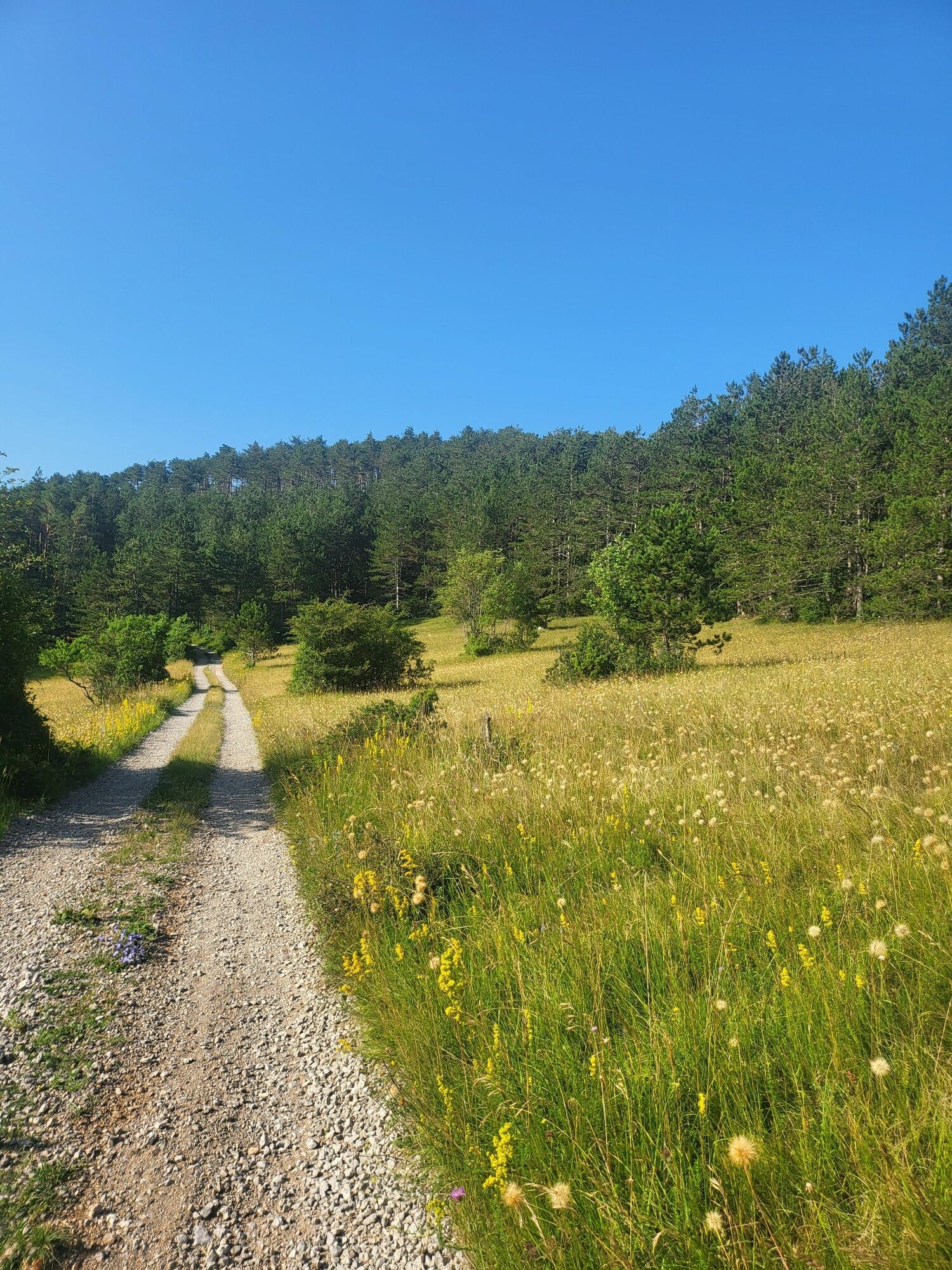
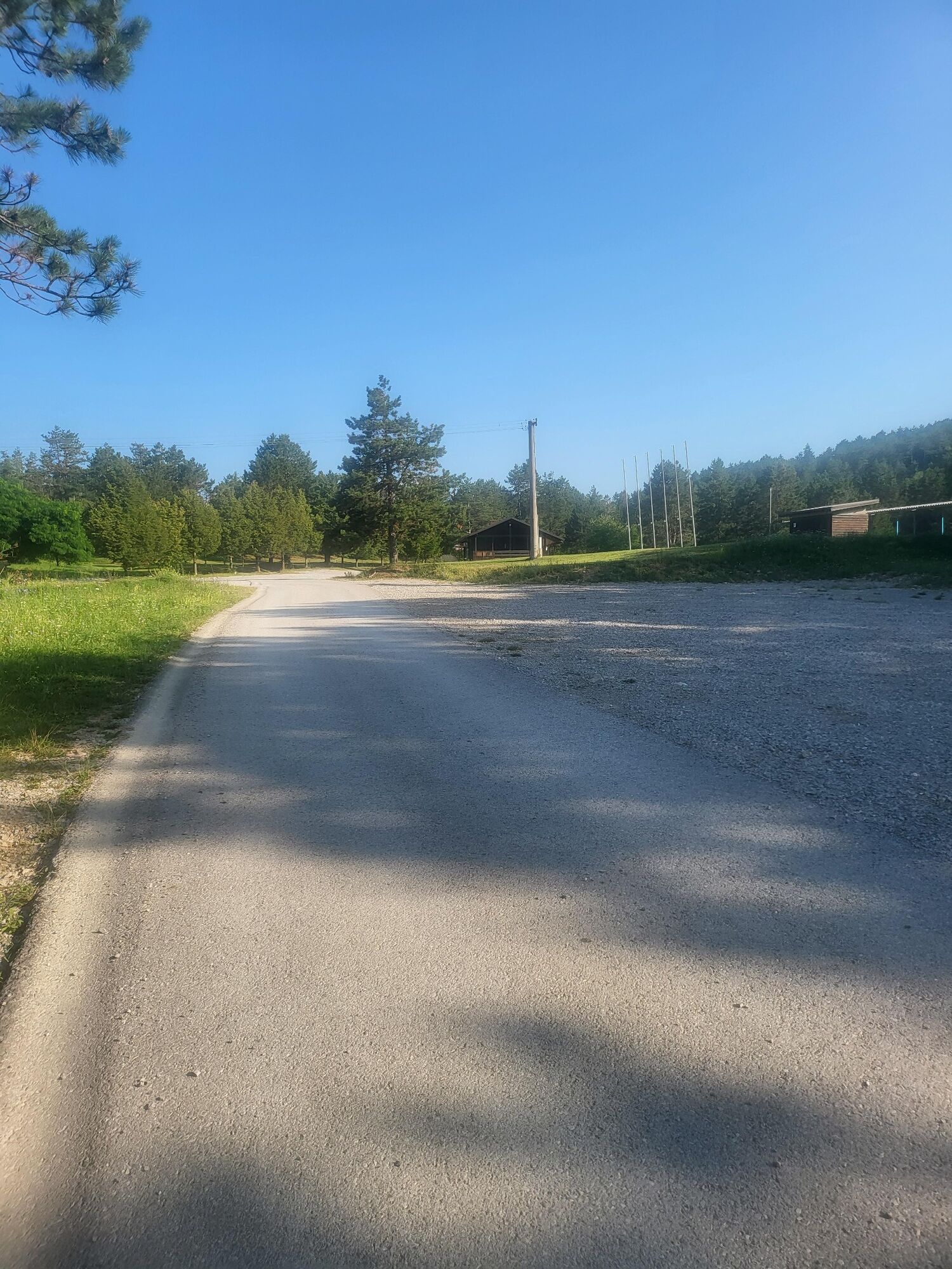
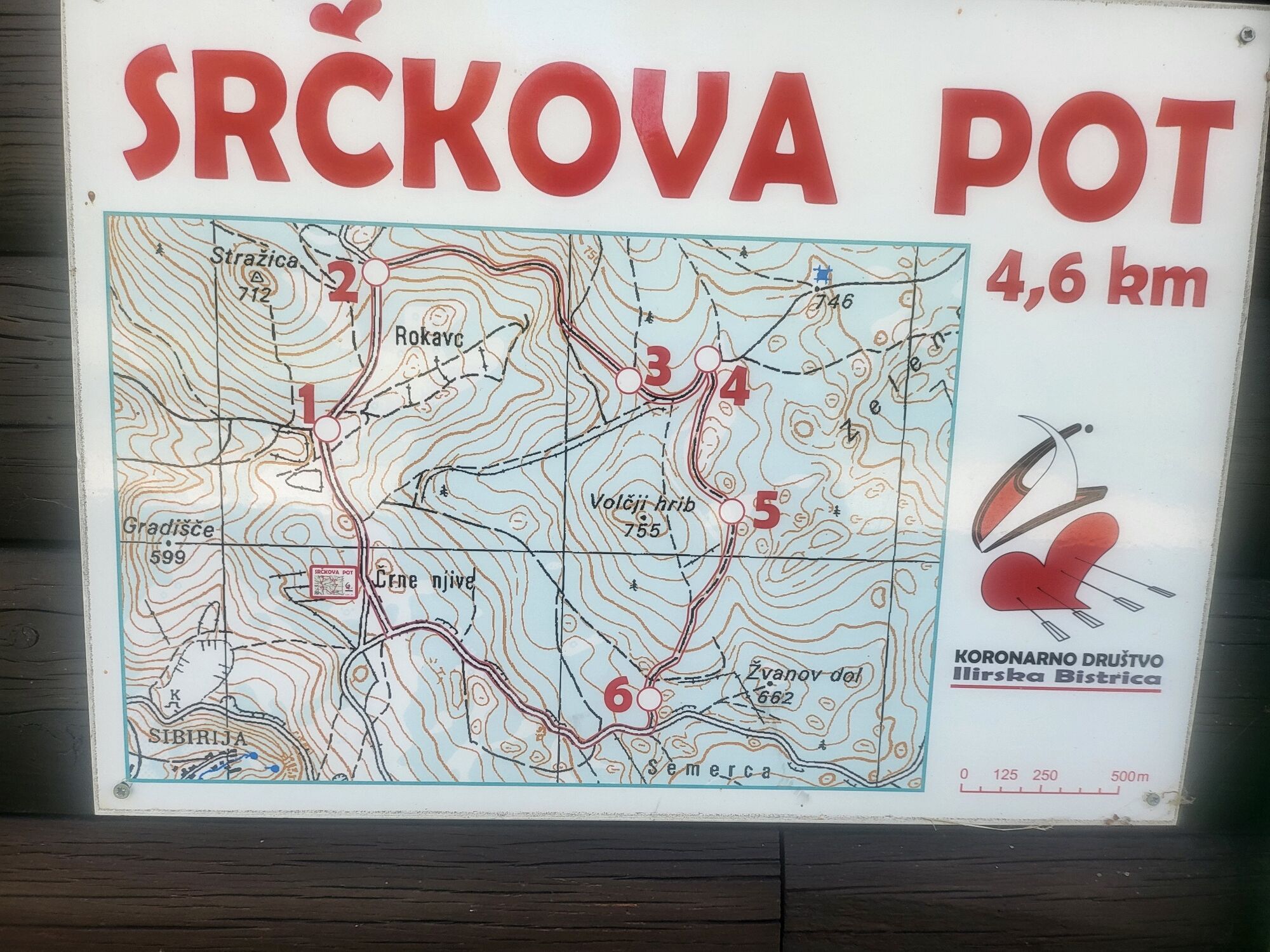
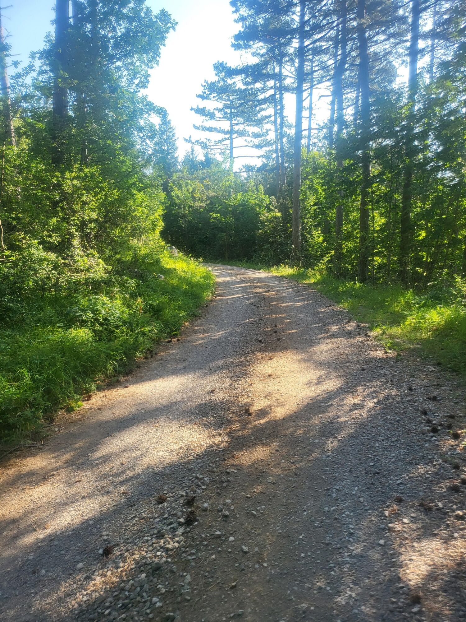
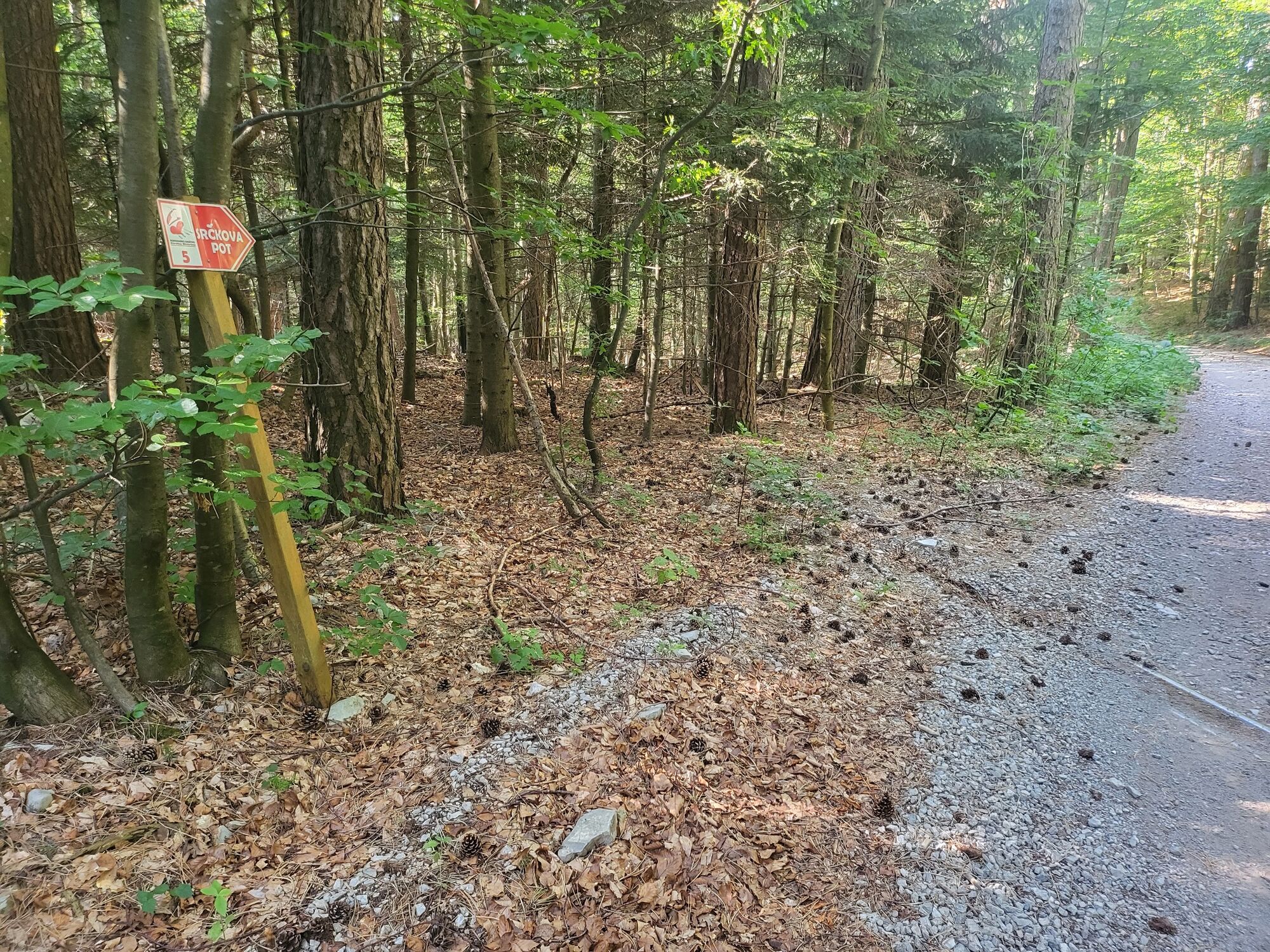
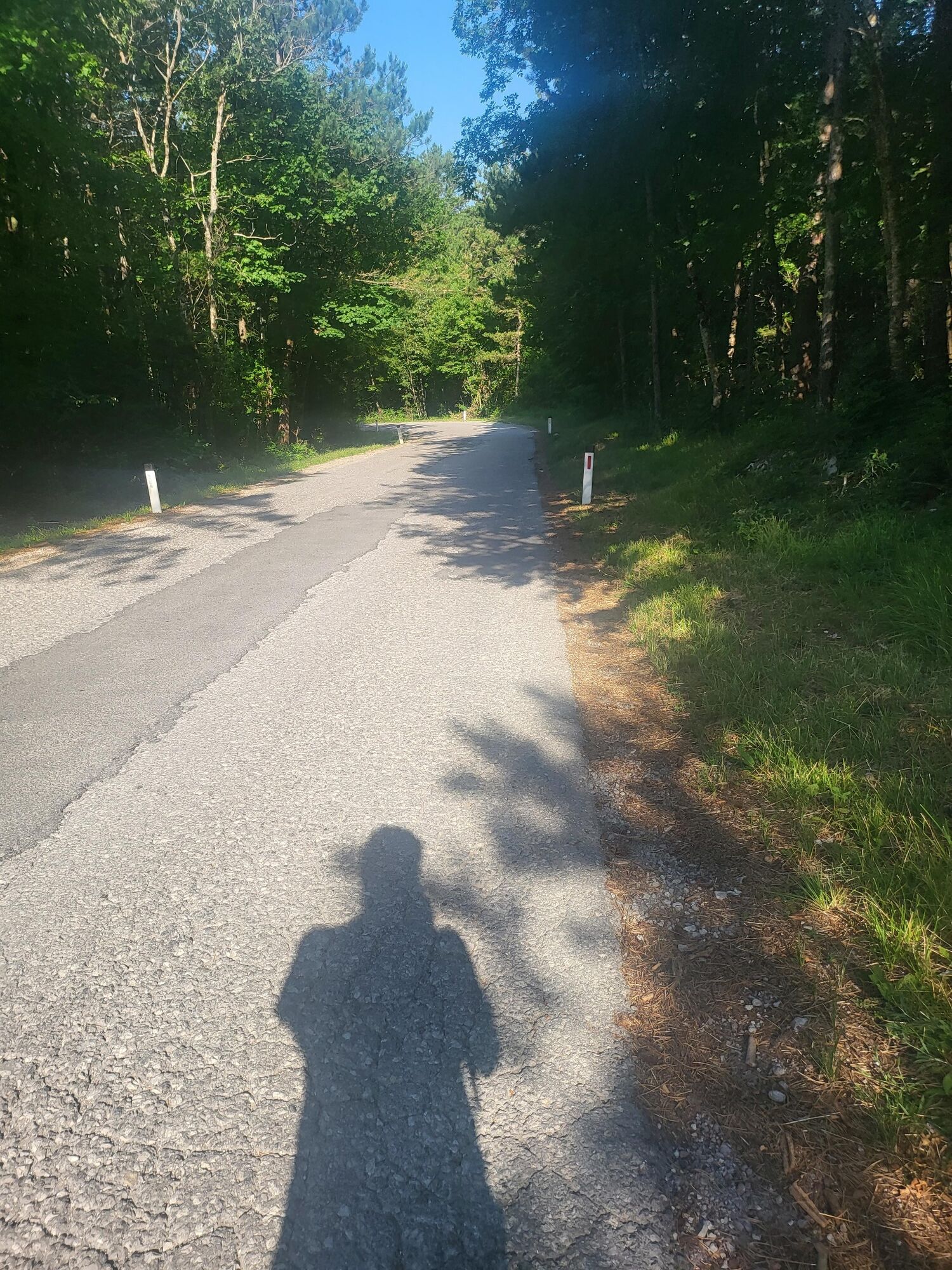

The route runs in a clockwise direction and all the way along a macadam road and road, and partly along a forest path.
Tak
Light hiking boots, anorak and hiking poles
The route is safe and can also be reached by car in case of any problems.
2 km above Ilirska bistrica along the road to SvišÄaki.
Only to Ilirska Bistrica
At log cabin
Refreshments are available at the log cabin.
You park in the parking lot near the log cabin on the wall of which you can also see the route.
Popularne wycieczki w okolicy
- 5,0
Sneznik
światłoWędrówka 5,53 km - 5,0
Veliki Snežnik
światłoWycieczki górskie 11,1 km - 5,0
Giro dell’orso Sviscaki
światłoWędrówka 6,65 km Kozlek
światłoWędrówka 9,20 kmThematic Path of Military History
średniTrasa tematyczna 12,6 kmSviščaki - Srednji Snežnik - Mali Snežnik - Veliki Snežnik
ciężkiWędrówka 17,3 kmPodbrdo- Šinentabor nad Zagorjem -Gradišče- Podbrdo krožna pot
światłoWędrówka 11,6 kmJurišče-Kršičevec
światłoWędrówka 7,82 kmIlirska Bistrica - Planinska koča na Kozleku - Kozlek
średniWędrówka 5,19 kmLeskova dolina - Grčovski vrh - Veliki Snežnik - Grčovsko sedlo
Wędrówka 18,7 km
Wędrówki i tropienie


Nie przegap ofert i inspiracji na następne wakacje
Twój adres e-mail została dodana do listy mailingowej.





