







The "Rabennest Route" in and around Kallenhardt
This circular hiking trail of the Sauerland Forest Route leads the hiker through the beautiful mountain village of Kallenhardt. There is much to discover along the way! A special highlight is the Lörmecketal...
This circular hiking trail of the Sauerland Forest Route leads the hiker through the beautiful mountain village of Kallenhardt. There is much to discover along the way! A special highlight is the Lörmecketal Nature Reserve where the Hohle Stein rises.

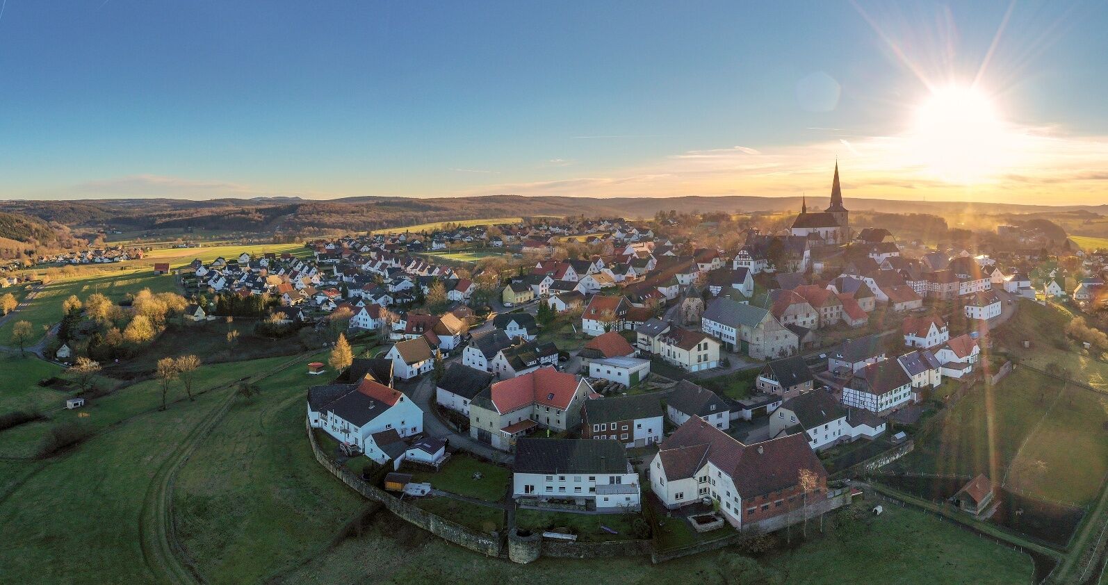

The forest route circular trail starts at St. Clemens Church. As an inspiring start, hikers can enjoy a charming panoramic view of the Arnsberger Wald Nature Park.
Passing the Kallenhardt elementary school along Kirchstraße, we follow the marking "green W on white background" with the addition "Rabennest Route."
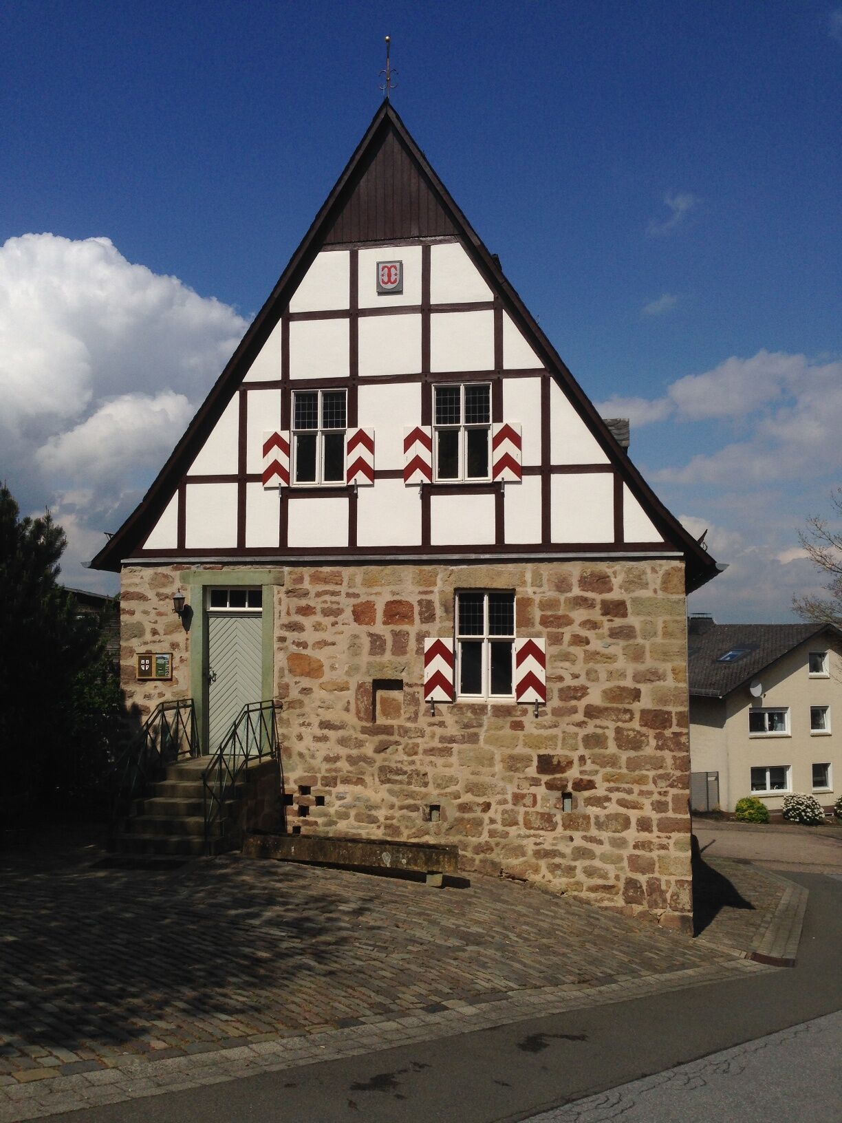
After about 200 m, the first sight awaits us on the left: the former town hall built in the late Gothic style in the 15th century - one of the oldest in Westphalia - served as the center of municipal life in Kallenhardt until 1809 (abolition of privileges). For the mayor, magistrate, and courts, it was their place of work for their sovereign and representative duties over many centuries.
We turn right and follow Burgtorstraße until about 250 m later we reach the path "Mühlentwietken" (=Mill Path) on the left. Here it goes steeply downhill, allowing us to enjoy the view of the opposite Calvary Hill. At the next cross path, there is an information board about the cave at Kattenstein. The interior of the natural cave itself can only be visited after prior arrangement with the Nature and Environmental Protection Association BUND (local group Lörmecketal, Tel.: 02902/78873). For a brief impression, follow the wooden directional arrow to the cave area, which was designed in a nature-related way with great effort by the mentioned initiative.
Continuing to follow the route signs, we soon reach the next sight: the Lepers' Chapel. This building was first mentioned in 1563 as "Seeken Hüseken" and was used to accommodate, especially people suffering from the then-common leprosy, in a remote area outside the city walls.
A longer uphill section leads us about 200 m to the next historic site, Calvary Hill. This area was the location of an old Christian Way of the Cross of the parish of St. Clemens Kallenhardt, already marked on a mid-18th century map as "Siebenfußfallberg," referring to the number of original devotional stations (probably wooden crosses). The 14 current stations of Calvary Hill were made from Rüthen green sandstone by master stonemason Peter Hilkenbach from Brilon between 1877 and 1889.
We now continue the ascent, accompanied by the aforementioned Way of the Cross stations. We have covered half of them when we encounter a crossing forest path. Here we keep right and hike this forest path for about 2.5 km until we cross the small river Glenne. On this section of our hike, appealing views of the Kallenhardt hill cone and the Arnsberger Wald Nature Park accompany us, reminding us to also appreciate the soothing silence and fresh air!
We continue the uphill path until we reach a shelter hut where we can reward ourselves with a short rest for the exertion. According to further signposts, we will soon see below the valley a meandering stream lined with alder trees.
After about 2 km, we reach Sutlindenkopf (=southern lime cave) and pass by the hunting lodge Hirscheck. We then keep right and continue for about 500 m. Then we also follow a gravel forest path on the right until an underpass can be seen on the left.
Using a narrow bridge there, we now pass under the L776 and continue walking until we reach the boundary between forest area and open field.
Here there is the possibility to take a short detour to the left to take a closer look at an old charcoal burner’s hut. This faithfully reconstructed seasonal shelter of former charcoal makers was built in 2008 in cooperation with Kallenhardt clubs.
Following an ascent to the right, the path continues below the forest edge until we reach the Rabennest parking lot.
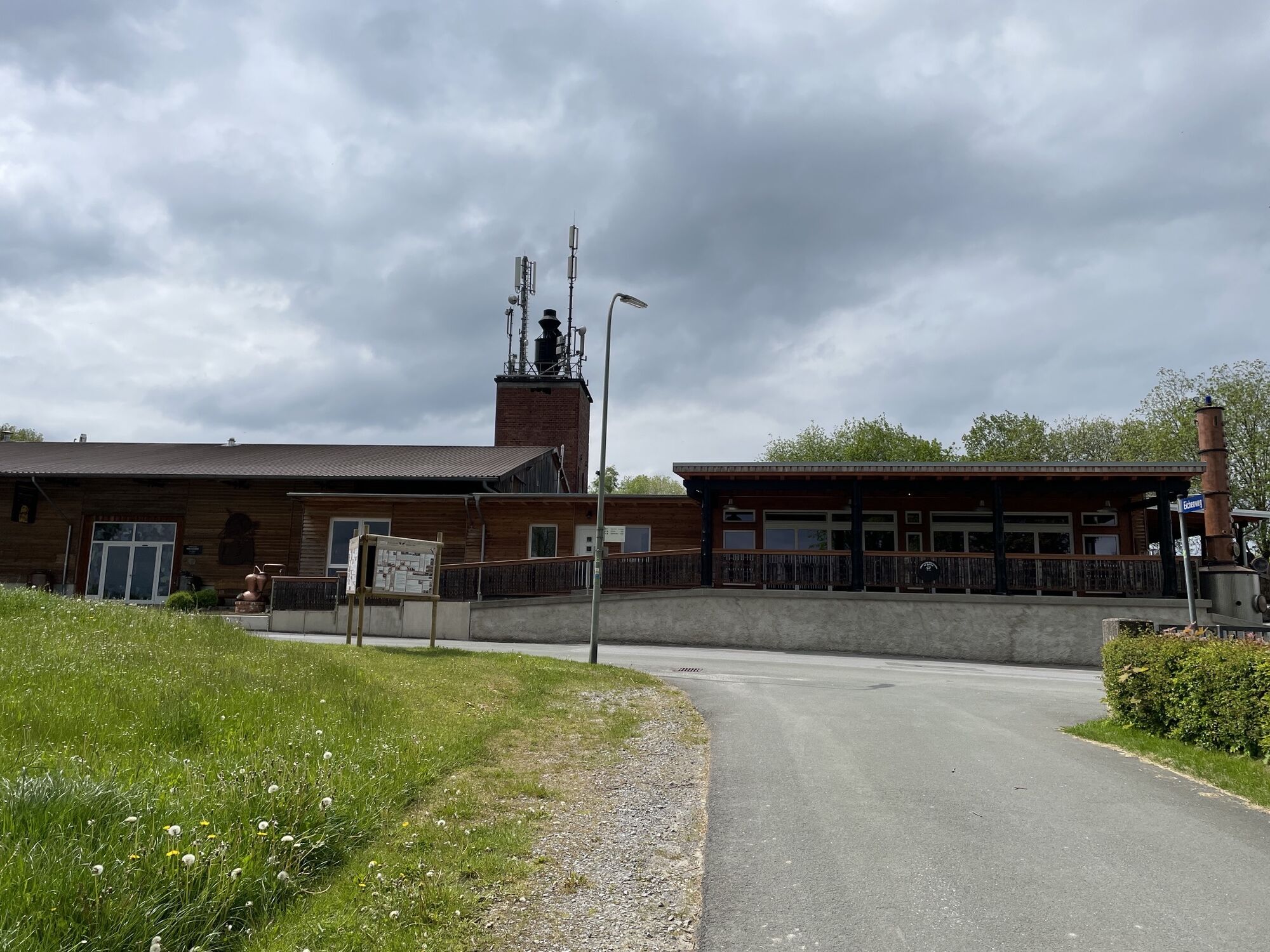
Near the Warsteiner Bikepark, there is the opportunity to stop by the "Hut with Heart." After a refreshment, we continue the path enjoying the view of the Lörmecke Valley lying ahead.
Following the signs, we pass the Hohler Stein parking lot until we enter the more than 250 ha large Lörmecketal Nature Reserve through a gate on the left side.
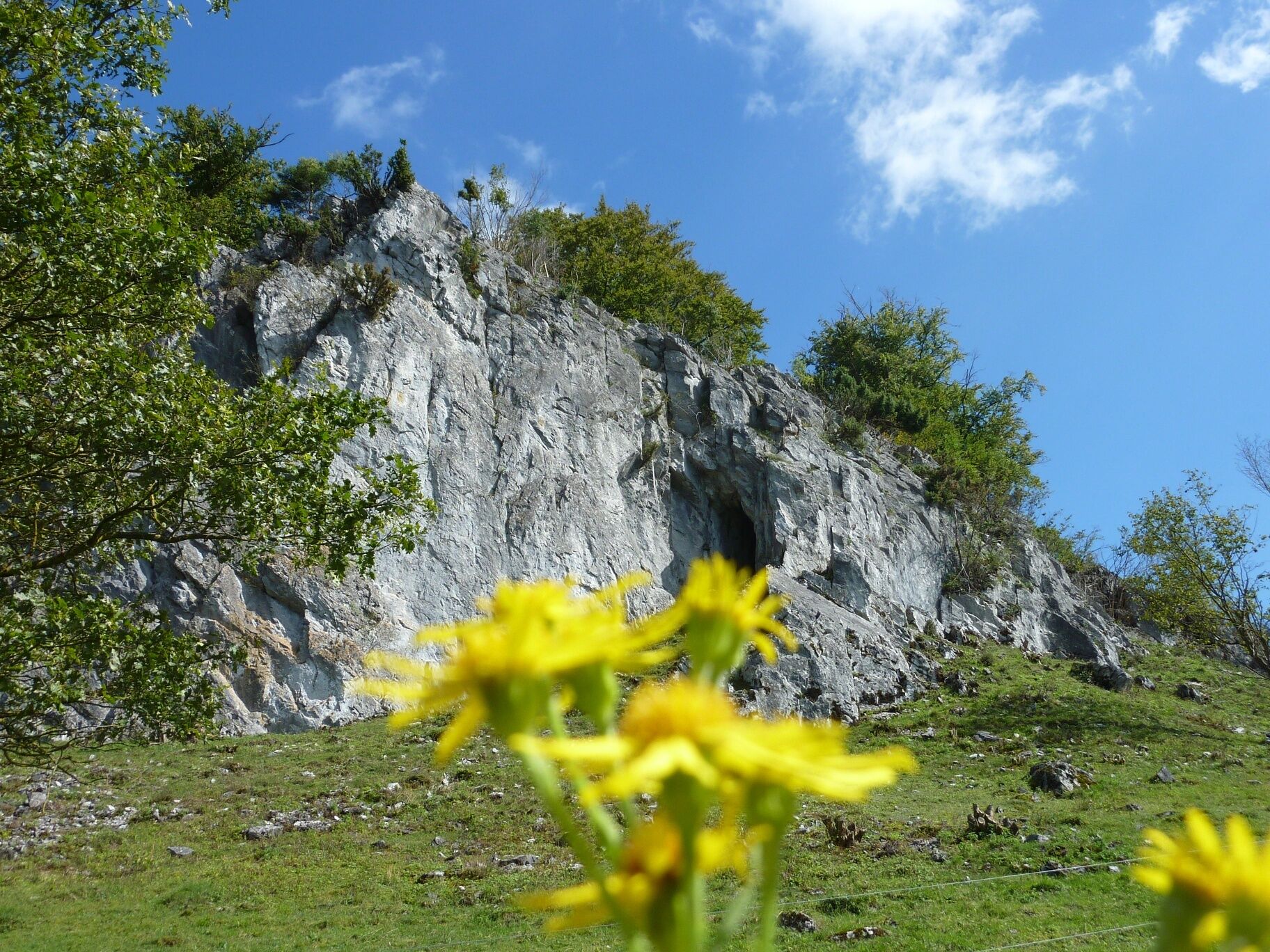
In front of us rises the Warsteiner limestone massif, an impressive natural rock backdrop. On our further way, the Hohle Stein awaits us. This rock monument, carved out by tributaries of the Lörmecke over millions of years of earth history, was formed southwest of Kallenhardt. During archaeological excavations in the 1830s, finds from different epochs since the last Ice Age were discovered in the two cave areas. The traces of human presence found there date back to early hunter-gatherer phases around 10,000 BC, giving this place a very rare prehistoric significance.
Some mysterious relics have also surrounded this cave with secret legends and tales, some of which have even been incorporated into modern Nibelungen research (e.g., Heinz Ritter-Schaumburg). We now follow the course of the Lörmecke in a valley hollow until another rock formation, the Hohe Stein, rises in front of us. Below it stretches a large juniper heath with its specific shrubs and trees. To our left, the river has carved deeply into the valley.
Along our route, we encounter information boards about the special themed hiking trail "FliessWege," which provide interesting information about the various terrain sections. Following this route, we are now accompanied by several supported giant trees integrated into the existing ecosystem. At the end, we turn right onto a paved path and follow the mentioned special trail signs back to our starting point, St. Clemens Church in the center of Kallenhardt.
Stopping at one of the inviting inns in Kallenhardt, we can revisit our impressions over delicious food and drinks.
Tak
Tak
Sturdy footwear and packed lunch
Möhnestraße B 516 or L776 towards Kallenhardt to Rüthen-Kallenhardt town center, then Kirchstraße to St. Clemens Church
R 62 from Lippstadt or R 77 from Warstein Stop: Kallenhardt town
Free parking is available at St. Clemens Church in the center of Kallenhardt.
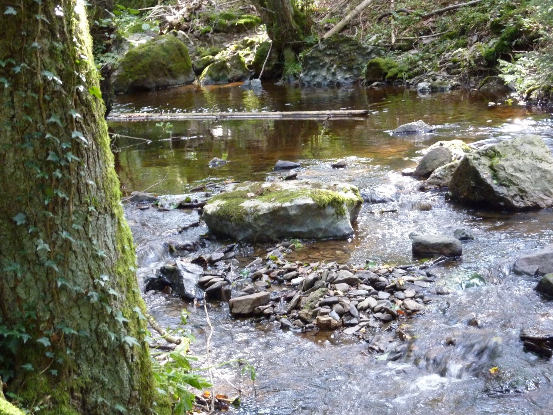
Stream Sink below the "Hoher Stein" - crossing the Lörmecke river using the wooden bridge - area of the stream sink is explained in detail on an information board
Popularne wycieczki w okolicy
Paderborner Land Route
średniJazda na rowerze 251,4 km- 4,0
MTB – circular route in the Bilstein Valley no. 47
średniJazda na rowerze 17,8 km - 5,0
Monastery Way - a spiritual hiking route from Königsmünster Abbey to Bestwig Mountain Monastery - northern route KW
średniWędrówka 15,6 km - 5,0
Velmeder Rundweg (V5)
średniWędrówka 10,1 km Sauerland Forest Route: Quality hiking trail from Iserlohn to Marsberg
średnidługodystansowy szlak pieszy 245,8 km- 3,0
Sauerland-Waldroute mit Bus und Bahn: Von Hirschberg nach Bestwig (Westfalenbus)
ciężkiWędrówka 26,4 km Swinging Path Ostwig
średniTrasa tematyczna 1,67 kmSpiritual route from the mountain monastery Bestwig to the Abbey Königsmünster (Monastery route south)
średniWędrówka 16,8 km- 5,0
Winterwanderweg: Briloner und Gudenhagener Poppenberg
średniWędrówka zimą 5,96 km Circular hike Haus Welschenbeck
średniWędrówka 1,06 km
Wędrówki i tropienie


Nie przegap ofert i inspiracji na następne wakacje
Twój adres e-mail została dodana do listy mailingowej.





