


Swinging Path Ostwig
The start is at the Schützenhalle in Ostwig. Parking is also available here.
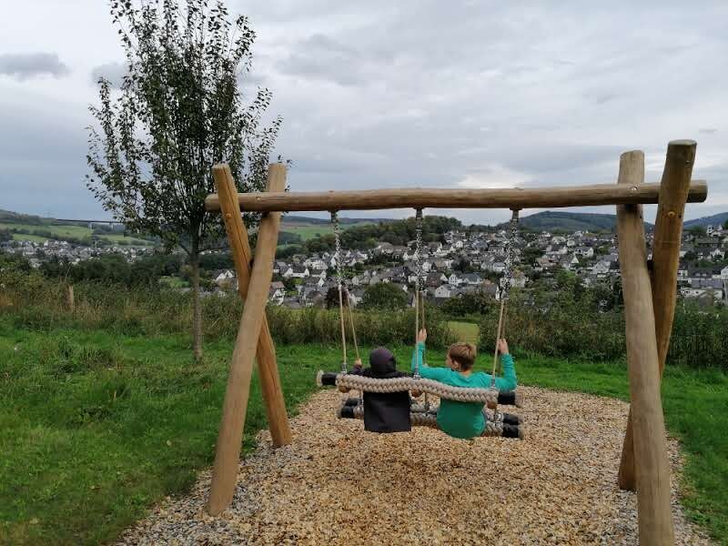
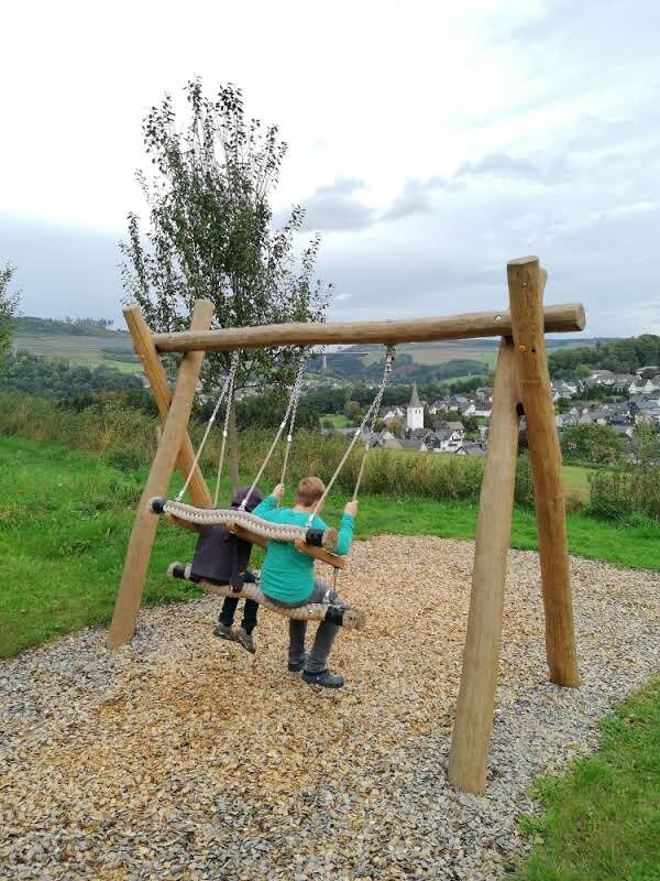
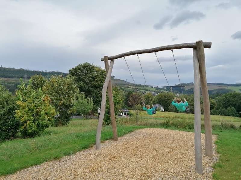
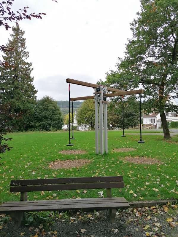
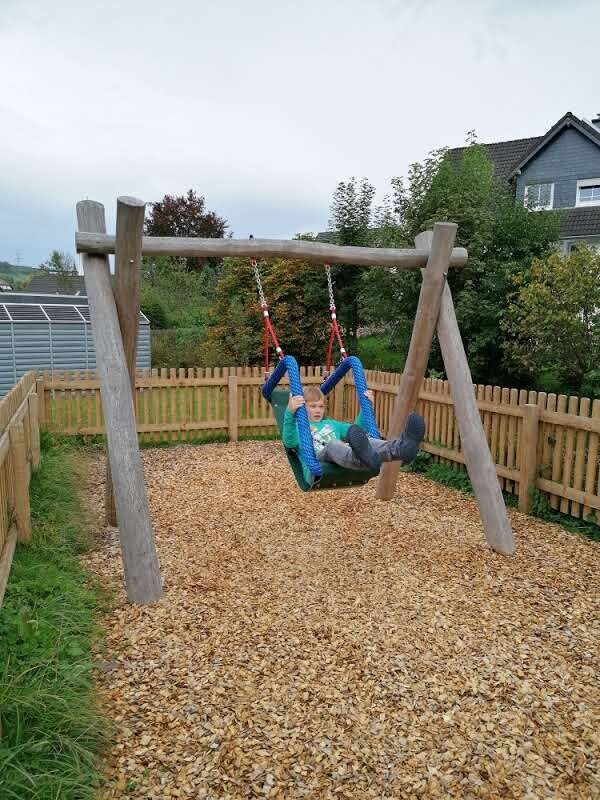
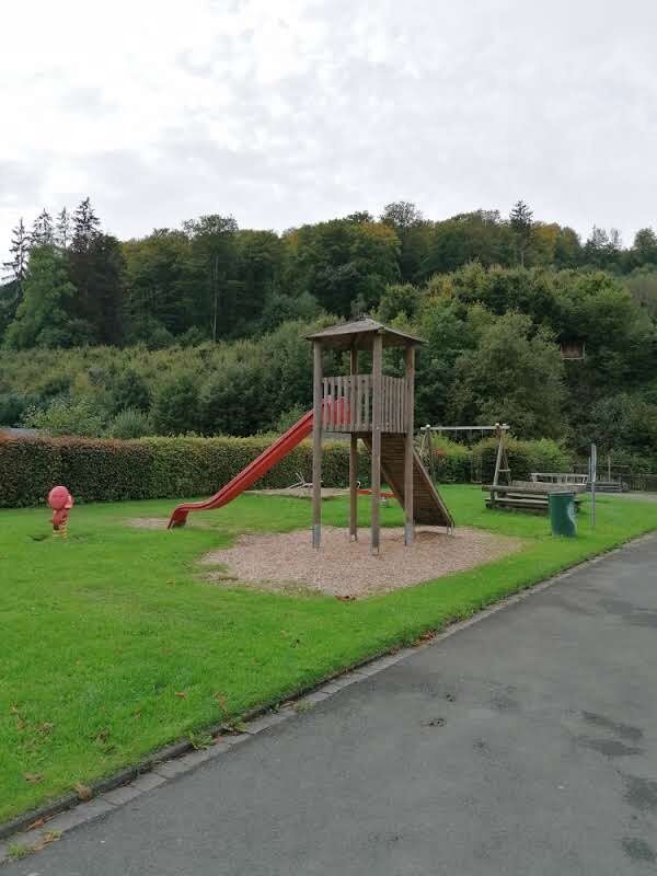
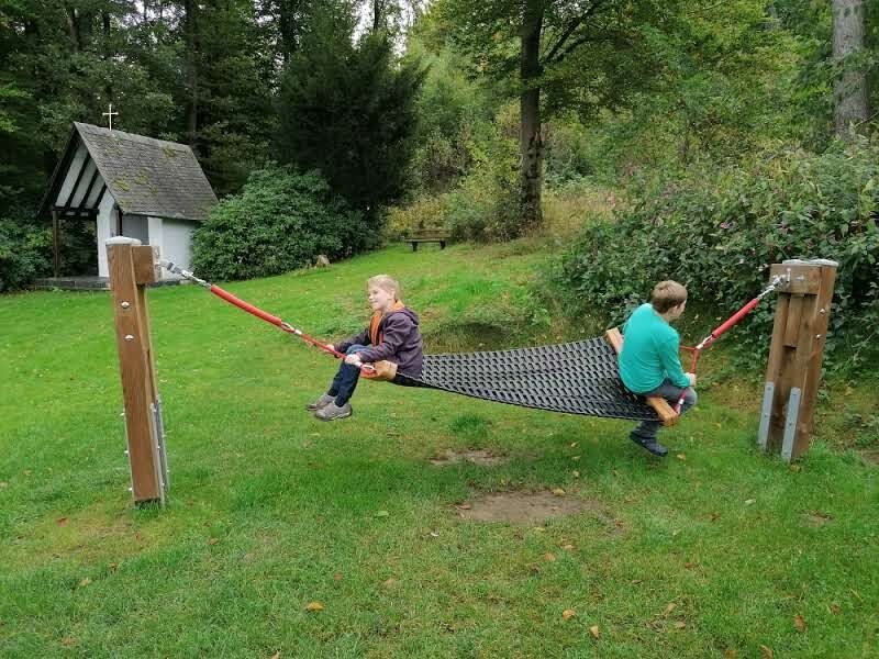
The path leads past the playground next to the Schützenhalle Ostwig behind the hall. There is a seesaw swing there. It continues...
The start is at the Schützenhalle in Ostwig. Parking is also available here.
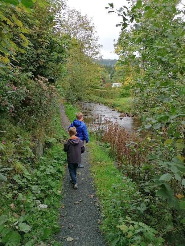
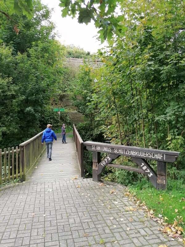
The path leads past the playground next to the Schützenhalle Ostwig behind the hall. There is a seesaw swing there. It continues over a wooden bridge across the Elpe and then turns right along the Elpe riverbank.
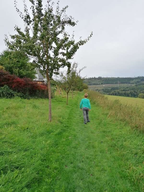
Along part of the swinging path are fruit trees - picking is explicitly allowed during the harvest season.
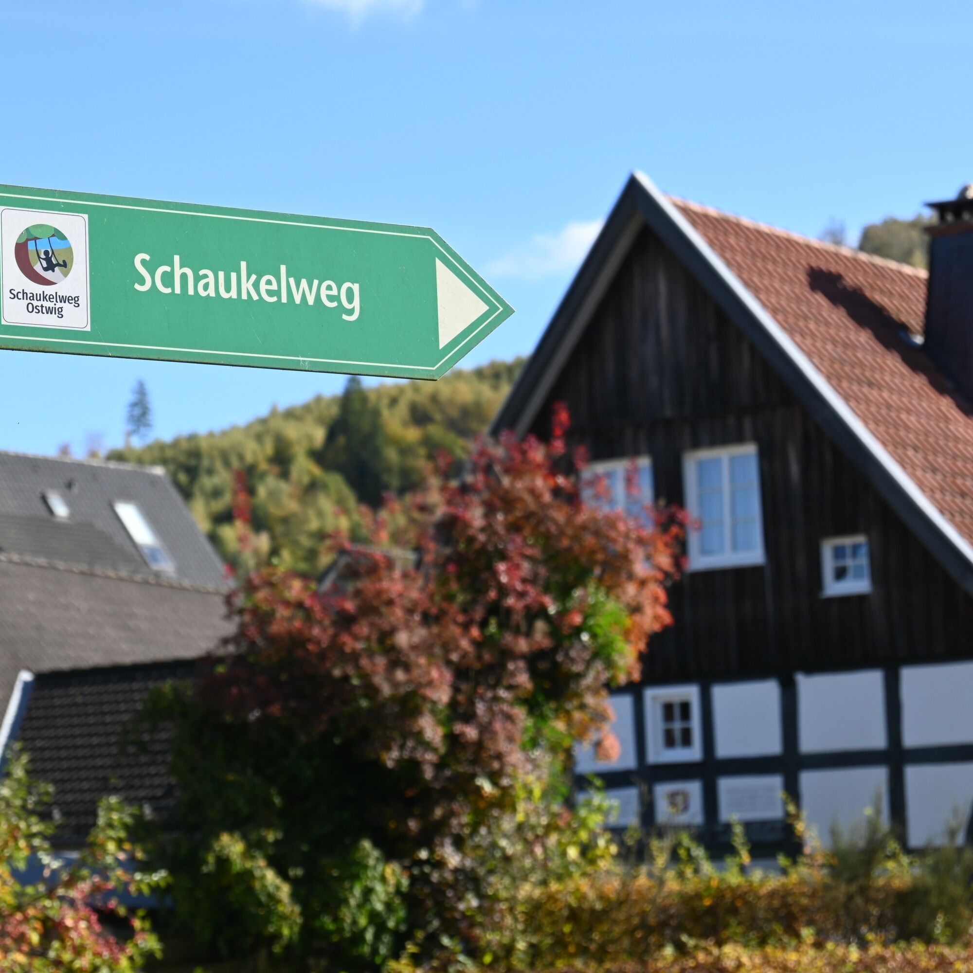
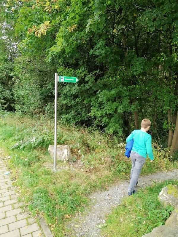
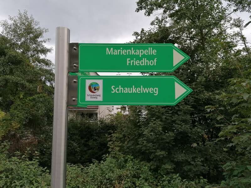
The path is continuously marked with the sign "Schaukelweg Ostwig."

The start is at the Schützenhalle in Ostwig. Parking is also available here.
The path leads past the playground next to the Schützenhalle Ostwig behind the hall. There is a seesaw swing there. It continues over a wooden bridge across the Elpe and then turns right along the Elpe riverbank. The path is continuously marked with the sign "Schaukelweg Ostwig."
Tak
Sturdy footwear. Some sections of the path go over a meadow and a gravel path.
Bestwig is easily accessible by train. From Bestwig station, you can reach Ostwig by bus lines R74 and R75. The bus stop "Ostwig Schützenhalle" is located right at the start of the swinging path.
There are sufficient parking options at the Schützenhalle Ostwig.
The playground at the Schützenhalle Ostwig is a good place for a final rest.
Popularne wycieczki w okolicy
- 4,7
Bruchhauser Steine B1
średniWędrówka 11,8 km - 4,5
Bruchhausener Steine
ciężkiWędrówka 5,15 km - 4,0
Willingen (W8)
średniWędrówka 12,9 km - 4,0
MTB – circular route in the Bilstein Valley no. 47
średniJazda na rowerze 17,8 km - 3,5
Vogelsang route
średniWędrówka 7,01 km - 5,0
Monastery Way - a spiritual hiking route from Königsmünster Abbey to Bestwig Mountain Monastery - northern route KW
średniWędrówka 15,6 km Andreasberg - AB4 - Hike to the "Plästerlegge" waterfall
średniWędrówka 9,36 km- 4,0
Rundweg um den Hennesee A8
średniWędrówka 15,4 km - 4,0
BestWeg Andreasberg
średniWędrówka 8,33 km Trekking site close to heaven circular route 1
ciężkiWędrówka 19,6 km
Wędrówki i tropienie


Nie przegap ofert i inspiracji na następne wakacje
Twój adres e-mail została dodana do listy mailingowej.